 Block
BlockCocoa Beach, Florida
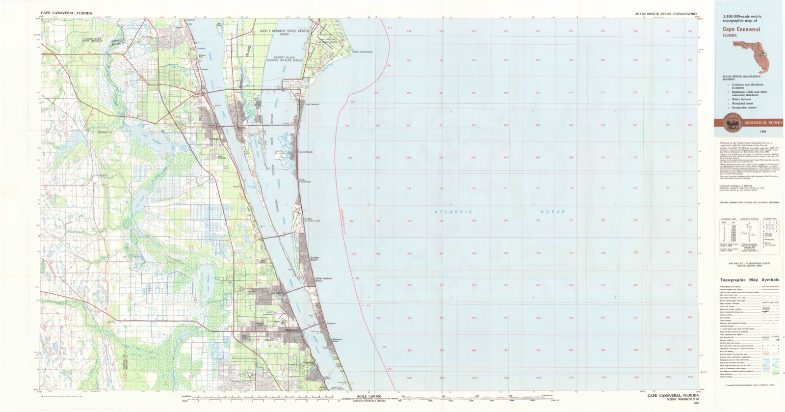
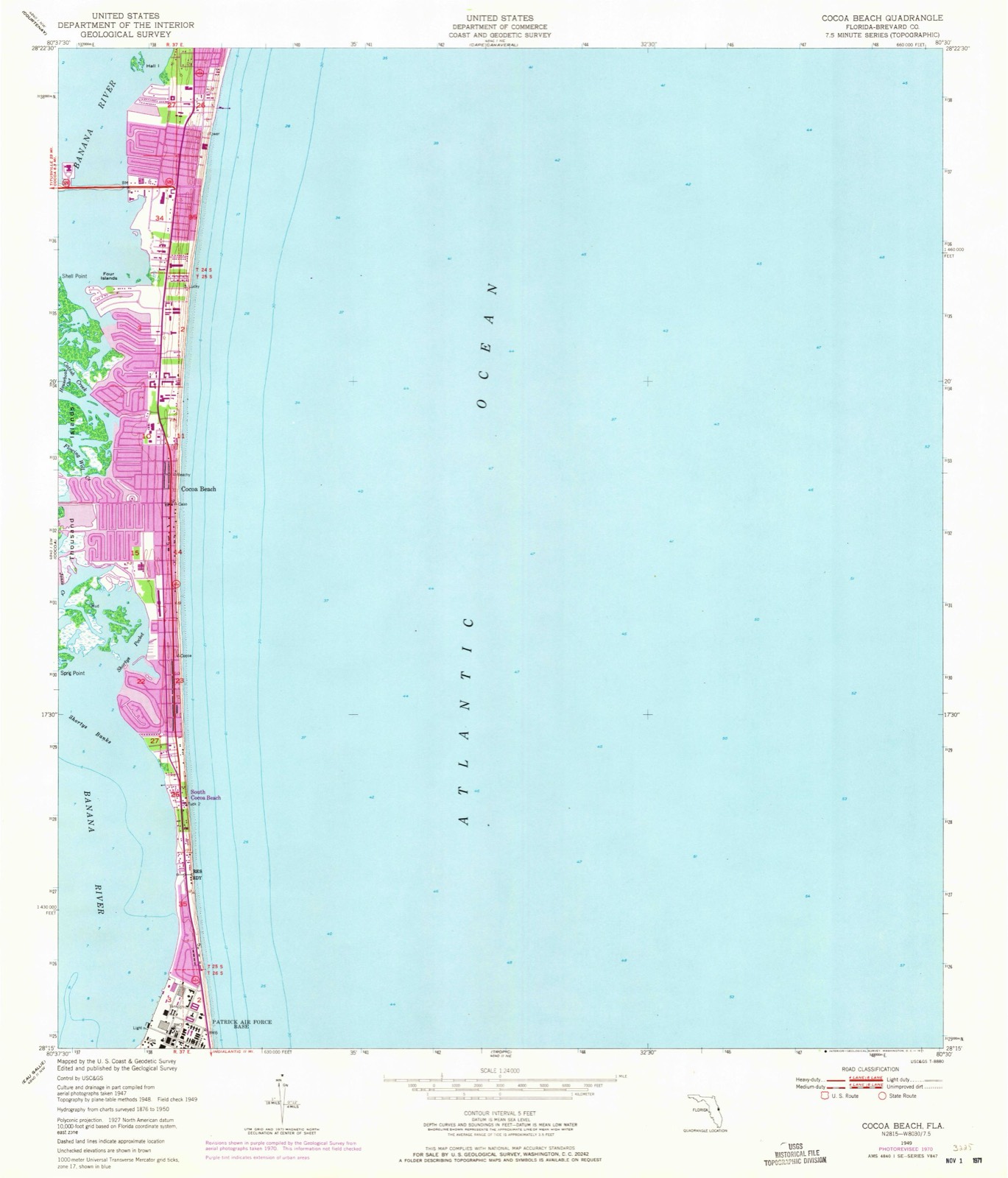
12 topographic sheets cover this place, the earliest surveyed in 1949 and the latest in 1981. It stands in the Cocoa Beach-Cape Canaveral census division. It lies in ZIP code area 32931. It lies near Thousand Islands. The Survey maps it on the Cocoa Beach quadrangle. 11,354 people lived here at the 2020 count.
Then and now
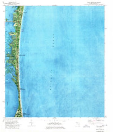
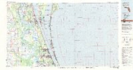
1949 to 1981The same ground, surveyed 32 years apart. Drag the handle to wipe between them. Both sheets are United States Geological Survey originals; neither has been altered.
Population over time
2 figuresCocoa Beach grew from 11,231 to 11,354 between 2010 and 2020. These are the recorded population figures Wikidata holds for this place, reached through the Geographic Names Information System number this page is keyed on rather than by name, so they belong to this place and not to another of the same name. Most are census counts, but not all are: an early figure may be a founding or settlement estimate, and an estimate published within five years of a census is left out. The change column is computed, and is left blank where more than 20 years separate a figure from the one before it, because a gap that long is not a change between two counts.
| Year | People | Change |
|---|---|---|
| 2010 | 11,231 | |
| 2020 | 11,354 | +123 (+1%) |
Topographic sheets covering this place
8 surveys from 12 printed sheetsMatched by testing this settlement's coordinate against the published boundary of every sheet in the United States Geological Survey's historical collection. Each opens the scanned sheet at the Survey.
- 1949 USGS Cocoa Beach quadrangle1:24000, 2 printings
- 1951 USGS Cocoa Beach quadrangle1:24000
- 1955 USGS Orlando quadrangle1:250000, 3 printings
- 1957 USGS Orlando quadrangle1:250000
- 1958 USGS Orlando quadrangle1:250000
- 1962 USGS Orlando quadrangle1:250000
- 1976 USGS Cocoa Beach quadrangle1:24000, 2 printings
- 1981 USGS Cape Canaveral quadrangle1:100000
Fires near this place
6 since 1994Regional context, not property-specific evidence. The federal wildfire occurrence database lists 6 fires within 5 miles of Cocoa Beach between 1994 and 2018, burning about 3 acres in total. 1 started naturally. None was recorded as arson. Distance is straight-line from the map coordinates, so a fire counted here may appear on a neighbouring settlement's page as well.
| Reported cause | Fires |
|---|---|
| Railroad operations and maintenance | 2 |
| Misuse of fire by a minor | 1 |
| Equipment and vehicle use | 1 |
| Recreation and ceremony | 1 |
| Natural | 1 |
The most recent of them, most recent first, with the day each was reported and the service that recorded it.
| Date | Cause | Size | Reported by | Name on the report |
|---|---|---|---|---|
| 26 June 1997 | Equipment and vehicle use | under an acre | Florida Forest Service | not named |
| 6 May 2018 | Recreation and ceremony | under an acre | Florida Forest Service | BUCCANEER (5) |
| 27 May 2004 | Misuse of fire by a minor | 1.0 acres | Florida Forest Service | LASELL (05) |
| 1 April 1994 | Railroad operations and maintenance | 1.0 acres | Florida Forest Service | not named |
| 14 March 1994 | Railroad operations and maintenance | under an acre | Florida Forest Service | not named |
| 23 October 2002 | Natural | under an acre | Florida Forest Service | not named |
Settlements close enough to share some of these fires:
Storms near this place
17 since 1995Regional context, not property-specific evidence. The National Weather Service names Cocoa Beach in 17 storm reports between 1995 and 2024: 9 thunderstorm wind, 3 tornado, 2 funnel cloud, 1 waterspout. The reports record 5 injuries. Each account below is quoted exactly as the forecast office filed it, from the NOAA Storm Events Database, and each date opens the federal record of that event.
| When | Event | Place named | Harm | What the report says |
|---|---|---|---|---|
| August 2013 | Thunderstorm Wind | Cocoa Beach | 3 hurt | A gustnado formed along an outflow boundary ahead of a weakening line of thunderstorms approaching the coast. The gustnado developed on Cocoa Beach, adjacent to the Coconuts on the Beach restaurant. The circulation lifted dozens of beach umbrellas and other objects at least 100 feet into the sky. Although the event only lasted about 30 seconds, the beach was highly populated and debris struck several people, resulting in injuries. Although most injuries were minor, a 15-year old boy suffered a head injury after being struck by a flying canopy, and was transported by ambulance to an area hospital. |
| June 1995 | Tornado | Cocoa Beach | 1 hurt, $40,000 | A small tornado moving in from the Atlantic clipped the top of a beach front condominium damaging a large section of the roof. One person suffered minor injuries. |
| June 2012 | Lightning | Cocoa Beach | 1 hurt | A man was struck by lightning during an isolated storm in Cocoa Beach. He was taken to a nearby hospital and treated for his injuries. Officials stated the man will be okay. |
| October 2024 | Tornado (EF1) | Cocoa Beach | $2,000,000 | The tornado was one of several tornadoes to impact the area as Hurricane Milton's outer rainbands swept across the east central Florida.||A waterspout moved ashore near the Royale Towers Condominiums to the east of A1A, where it damaged the roofs of several storage units and garages on the property. The tornado continued in a west-northwest direction across A1A where estimated winds of 90-95 mph removed a large portion of the roof of a bank. ||The circulation then moved into a residential area where damage, in the form of partial roof loss, broken windows, and downed trees occurred along Bimini Rd., St. Croix Ave., and S. Banana River Blvd from 80 to 90 mph winds. The tornado emerged into the Banana River as a waterspout where, based on video evidence, it continued on a northwest trajectory across SR 520 before moving ashore south of Kelly Park and into the Riviera Isles subdivision. Minor damage occurred here, mainly to pool and porch enclosures. The circulation dissipated shortly thereafter. |
| February 2008 | Tornado (EF0) | Cocoa Beach | $200,000 | A north moving thunderstorm produced a short lived EF0 rated tornado. It touched down in Cocoa Beach taking the roof off a beach side condominium. Sixteen apartments were uninhabitable. The large piece of the condominium roof damaged the adjacent condominium and 4 vehicles. There were no injuries. |
| March 1998 | Thunderstorm Wind | Cocoa Beach | $50,000 | Thunderstorm winds blew down trees and damaged the roof of a high school building in Cocoa Beach. |
| August 2005 | Thunderstorm Wind | Cocoa Beach | $5,000 | Thunderstorm winds damaged the roof of a home just south of Cocoa Beach. |
| August 2000 | Thunderstorm Wind | Cocoa Beach | $5,000 | Thunderstorm winds blew down trees and destroyed two large vendor tents near the beach front at Cocoa Beach. |
| August 2012 | Thunderstorm Wind | Cocoa Beach | $1,250 | A large plate glass window was blown in on Banana River Boulevard in Cocoa Beach as a severe thunderstorm moved through. A screen was also damaged. |
| May 2019 | Thunderstorm Wind | Cocoa Beach | - | A mesonet site on the Indian River measured a peak wind gust of 51 knots or 58 mph from the northwest. |
| June 2015 | Funnel Cloud | Cocoa Beach | - | A trained spotter reported several brief funnel clouds along a strong outflow boundary as it moved offshore Cocoa Beach. |
| October 2014 | Thunderstorm Wind | Cocoa Beach | - | A mesonet site at the Cocoa Beach Club recorded a peak gust to 58 mph as a thunderstorm embedded with a line of storms become locally severe as it reached the western portion of Cocoa Beach, southwest of the Minuteman Causeway. |
| June 2009 | Funnel Cloud | Cocoa Beach | - | A funnel cloud was observed by Cocoa Beach Police for three minutes over 4th street in Cocoa Beach, moving northwest. The funnel formed along a cloud boundary extending inland from the coastal waters. |
| June 1997 | Thunderstorm Wind | Cocoa Beach | - | A porch and garage door were damaged and light poles at a stadium were bent by thunderstorm winds. |
| June 1997 | Thunderstorm Wind | Cocoa Beach | - | Thunderstorm winds blew down street signs, a chain link fence and a solar panel. |
| April 1999 | Hail | Cocoa Beach | - | no account filed |
| June 1996 | Waterspout | Cocoa Beach | - | no account filed |
Nearest settlements
The eight closest, with where each one stands in the county. Distances are straight-line, computed from the Geographic Names Information System coordinates.
| Map | Place | Distance | Sheets |
|---|---|---|---|
| South Cocoa Beach | 2.7 miles | 12 | |
| Angel City | 3.3 miles | 12 | |
| Rockwell | 4.0 miles | 12 | |
| Georgiana | 4.2 miles | 12 | |
| Footman | 4.5 miles | 12 | |
| Bonaventure | 5.6 miles | 12 | |
| Lotus | 5.6 miles | 15 | |
| Cape Canaveral | 5.9 miles | 12 |
Elsewhere
Matched on this settlement's Geographic Names Information System number rather than its name, so it cannot be a different place of the same name in another state.
| Wikipedia article on Cocoa Beach | An encyclopaedic summary. Its text is share-alike, so it is linked here rather than copied. |
| Wikidata item Q852653 | The structured record the population and elevation above come from. Public domain (CC0). |
Provenance
This settlement is recorded in the Geographic Names Information System as feature 280609. The sheet list is computed by point-in-boundary test against the United States Geological Survey's historical topographic inventory. Both are works of the United States government and carry no copyright under 17 U.S.C. 105.
Wildfire. Short, Karen C. 2022. Spatial wildfire occurrence data for the United States, 1992-2020 [FPA_FOD_20221014]. 6th Edition. Fort Collins, CO: Forest Service Research Data Archive. https://doi.org/10.2737/RDS-2013-0009.6 Collected with United States Government funding and usable without additional permissions or fees.
Storms. NOAA National Centers for Environmental Information, Storm Events Database https://www.ncei.noaa.gov/stormevents/ A work of the United States government, no copyright under 17 U.S.C. 105. Narratives are quoted verbatim from the National Weather Service report and are not edited or summarised.