 Block
BlockDenaud, Florida
13 topographic sheets cover this place, the earliest surveyed in 1956 and the latest in 1987. It stands in the LaBelle census division. It lies in ZIP code area 33935. It stands on Jacks Branch. The Survey maps it on the Alva quadrangle.
Then and now
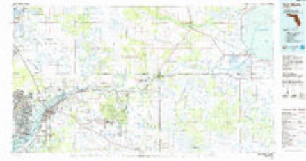
1956 to 1987The same ground, surveyed 31 years apart. Drag the handle to wipe between them. Both sheets are United States Geological Survey originals; neither has been altered.
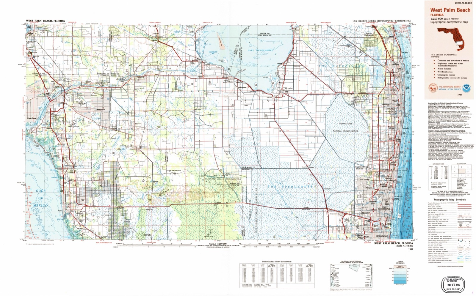
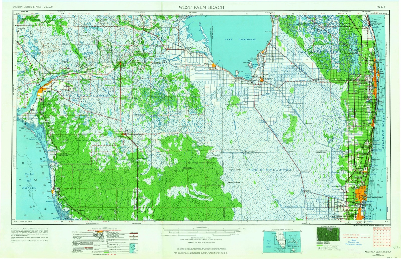
Topographic sheets covering this place
7 surveys from 13 printed sheetsMatched by testing this settlement's coordinate against the published boundary of every sheet in the United States Geological Survey's historical collection. Each opens the scanned sheet at the Survey.
- 1956 USGS West Palm Beach quadrangle1:250000, 2 printings
- 1957 USGS West Palm Beach quadrangle1:250000
- 1958 USGS Alva quadrangle1:24000, 4 printings
- 1958 USGS West Palm Beach quadrangle1:250000, 2 printings
- 1981 USGS Fort Myers quadrangle1:100000
- 1985 USGS Fort Myers quadrangle1:100000
- 1987 USGS West Palm Beach quadrangle1:250000, 2 printings




Fires near this place
221 since 1992Regional context, not property-specific evidence. The federal wildfire occurrence database lists 221 fires within 5 miles of Denaud between 1992 and 2020, burning about 4,261 acres in total. 58 started naturally. 11 were recorded as arson. Distance is straight-line from the map coordinates, so a fire counted here may appear on a neighbouring settlement's page as well.
| Reported cause | Fires |
|---|---|
| Natural | 58 |
| Railroad operations and maintenance | 49 |
| Debris and open burning | 46 |
| Equipment and vehicle use | 24 |
| Missing data/not specified/undetermined | 17 |
| Arson/incendiarism | 11 |
| Power generation/transmission/distribution | 6 |
| Recreation and ceremony | 3 |
| Smoking | 2 |
| Misuse of fire by a minor | 2 |
| Fireworks | 2 |
| Other causes | 1 |
The most recent of them, most recent first, with the day each was reported and the service that recorded it.
| Date | Cause | Size | Reported by | Name on the report |
|---|---|---|---|---|
| 7 August 2018 | Power generation/transmission/distribution | under an acre | Florida Forest Service | KIRBY THOMPSON POWER POLE (22) |
| 26 August 2000 | Natural | 5.0 acres | Florida Forest Service | not named |
| 19 August 2007 | Natural | 98 acres | Florida Forest Service | (GL) THE SECRETARY (1095) |
| 19 August 2002 | Railroad operations and maintenance | 5.0 acres | Florida Forest Service | not named |
| 18 August 2020 | Natural | 12 acres | Florida Forest Service | CONGEN ROAD (26) |
| 8 July 2004 | Natural | 25 acres | Florida Forest Service | 991-GL-SCUPPERNONG |
| 7 July 2003 | Natural | 1.0 acres | Florida Forest Service | 2003-17-1052 |
| 6 July 1994 | Natural | 1.0 acres | Florida Forest Service | not named |
Settlements close enough to share some of these fires:
Mines and quarries near this place
1 within 5 milesRegional context, not property-specific evidence. The federal mineral resources record lists 1 working within 5 miles of Denaud: 1 producer. All of them still produce. What was taken out: Stone, Crushed/Broken. Distance is straight-line from the map coordinates, so a quarry counted here may appear on a neighbouring settlement's page as well.
| Where | Site | Commodity | Status | Recorded |
|---|---|---|---|---|
| Labelle Limerock Pit | Stone, Crushed/Broken | Producer |
Storms near this place
6 since 2007Regional context, not property-specific evidence. The National Weather Service names Denaud in 6 storm reports between 2007 and 2026: 2 funnel cloud, 1 thunderstorm wind, 1 flash flood, 1 flood. No death or injury is recorded in these reports. Each account below is quoted exactly as the forecast office filed it, from the NOAA Storm Events Database, and each date opens the federal record of that event.
| When | Event | Place named | Harm | What the report says |
|---|---|---|---|---|
| September 2017 | Flood | Denaud | $20,000 | Extensive sheet flow' flooding caused by heavy rain from Hurricane Irma affected parts of Hendry County. A total of 9 to 11 inches of rain fell in the area during a 48-hour period leading up to and through the event. Estimated amounts of up to 16 inches or higher may have fallen in parts of Hendry County. No major roads were affected, however many properties remained under water for days. |
| June 2007 | Thunderstorm Wind | Denaud | $1,000 | Several utility sheds suffered minor damaged in Fort Denaud on Fort Simmons Avenue. |
| March 2026 | Funnel Cloud | Denaud | - | Social media image depicts a funnel cloud associated with a thunderstorm near LaBelle. |
| June 2018 | Hail | Denaud | - | Report received from WINK-TV of quarter sized hail in Fort Denaud. |
| June 2013 | Funnel Cloud | Denaud | - | Funnel clouds were reported by Hendry County Sheriff's Department near the Lee County line. |
| August 2008 | Flash Flood | Denaud | - | Rainfall amounts ranged 7 to 10 inches over northern Collier, Hendry and Glades counties near the path of the center of Fay. Isolated areas in northeastern Hendry and southeastern Glades counties received well in excess of 10 inches, with Moore Haven recorded the highest storm total rainfall of 16.17 inches recorded in the 48-hour period ending at 8 AM on Wednesday, August 20th. Extensive flooding was observed over the areas with the highest totals, especially over Hendry and Glades counties. Hardest hit areas were the Felda and Montura areas in Hendry County were maximum rainfall amounts ranged from around 10 inches in Felda to as much as 12 to 15 inches in the Montura area. |
Nearest settlements
The eight closest, with where each one stands in the county. Distances are straight-line, computed from the Geographic Names Information System coordinates.
| Map | Place | Distance | Sheets |
|---|---|---|---|
| LaBelle | 4.0 miles | 12 | |
| Port LaBelle | 5.7 miles | 12 | |
| Sears | 9.7 miles | 12 | |
| Keri | 12.1 miles | 12 | |
| Felda | 14.5 miles | 12 | |
| Whidden Corner | 22.7 miles | 11 | |
| Sugarton | 29.2 miles | 12 | |
| Harlem | 29.6 miles | 11 |
Elsewhere
Matched on this settlement's Geographic Names Information System number rather than its name, so it cannot be a different place of the same name in another state.
| Wikidata item Q122548801 | The structured record the population and elevation above come from. Public domain (CC0). |
Provenance
This settlement is recorded in the Geographic Names Information System as feature 295242. The sheet list is computed by point-in-boundary test against the United States Geological Survey's historical topographic inventory. Both are works of the United States government and carry no copyright under 17 U.S.C. 105.
Wildfire. Short, Karen C. 2022. Spatial wildfire occurrence data for the United States, 1992-2020 [FPA_FOD_20221014]. 6th Edition. Fort Collins, CO: Forest Service Research Data Archive. https://doi.org/10.2737/RDS-2013-0009.6 Collected with United States Government funding and usable without additional permissions or fees.
Mines and quarries. USGS Mineral Resources Data System (MRDS) https://mrdata.usgs.gov/mrds/ A work of the United States government, no copyright under 17 U.S.C. 105.
Storms. NOAA National Centers for Environmental Information, Storm Events Database https://www.ncei.noaa.gov/stormevents/ A work of the United States government, no copyright under 17 U.S.C. 105. Narratives are quoted verbatim from the National Weather Service report and are not edited or summarised.