 Block
BlockFrom the record
12 National Register listings published here.
Sources: the National Register database, National Park Service
31 topographic sheets cover 13 settlements here, and 12 properties are on the National Register of Historic Places.
12 National Register listings published here.
Sources: the National Register database, National Park Service
Every property in this county listed on the National Register of Historic Places, with the year it was listed and the federal nomination document.
| Photograph | Property | Type | Listed | Reference |
|---|---|---|---|---|
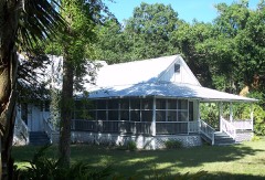 | Caldwell Home Place | building | 2003 | 03000009 |
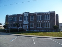 | Clewiston Historic Schools | building | 1997 | 97001172 |
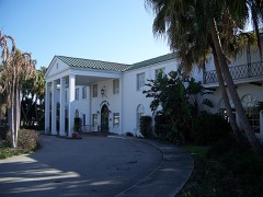 | Clewiston Inn | building | 1991 | 91000106 |
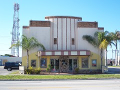 | Dixie Crystal Theatre | building | 1998 | 98001202 |
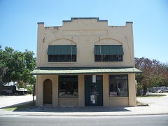 | Downtown LaBelle Historic District | district | 1999 | 99000371 |
 | Capt. F. Deane Duff House | building | 1998 | 98000025 |
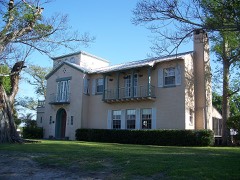 | Executive House | building | 1998 | 98000059 |
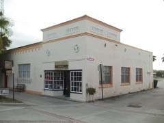 | First Clewiston Post Office | building | 2017 | 100000710 |
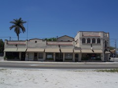 | Forrey Building and Annex | building | 1995 | 95000914 |
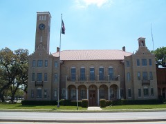 | Hendry County Courthouse, Old | building | 1990 | 90001744 |
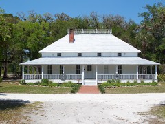 | Capt. Francis A. Hendry House | building | 1998 | 98000061 |
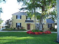 | Scharnberg House | building | 1999 | 99000472 |
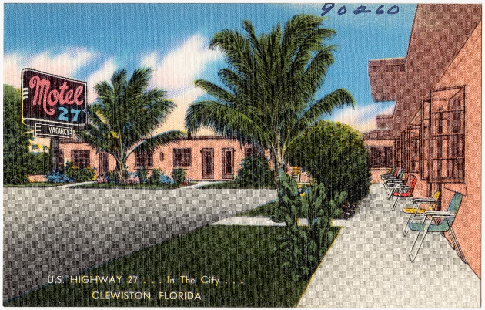
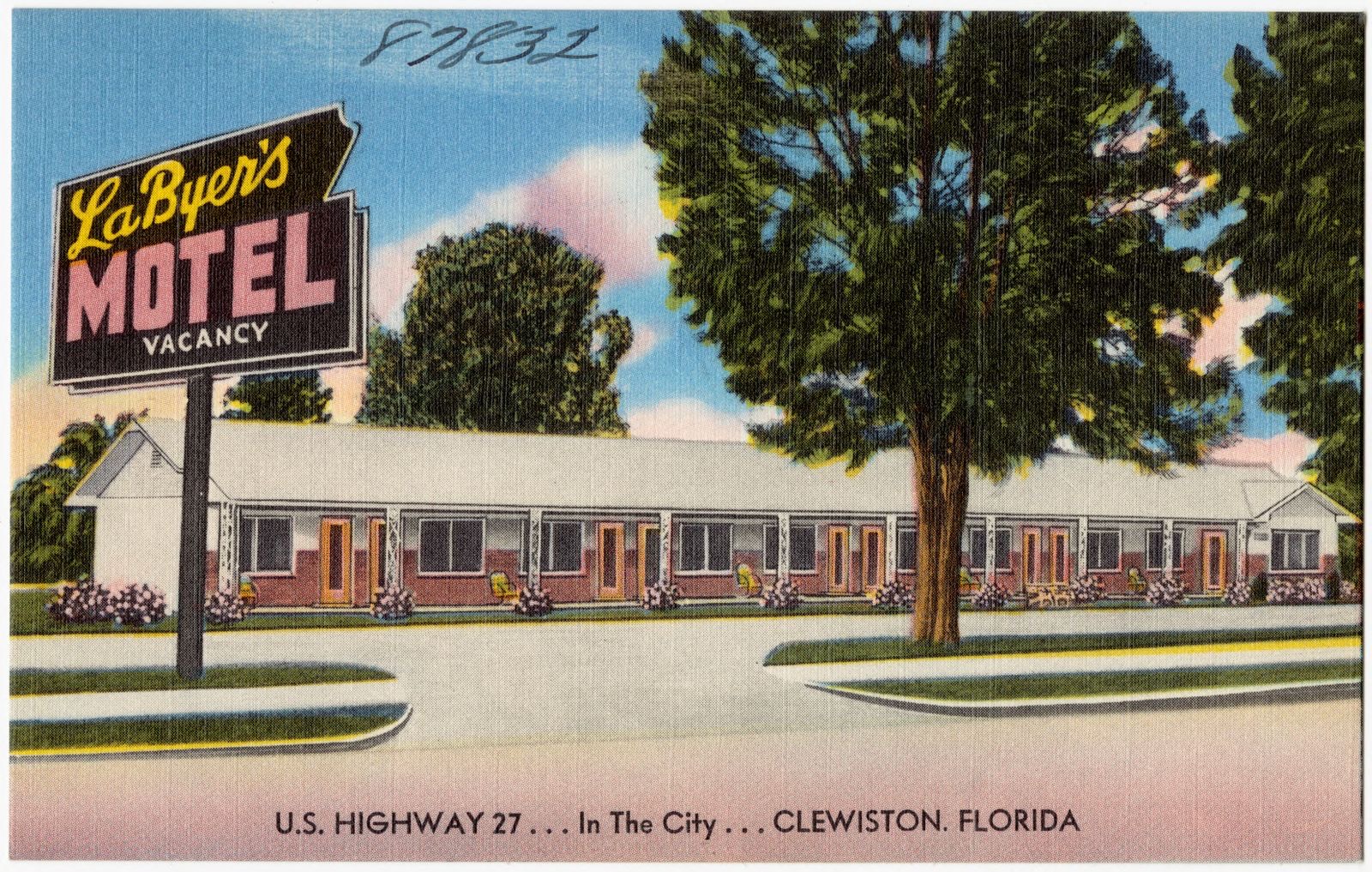
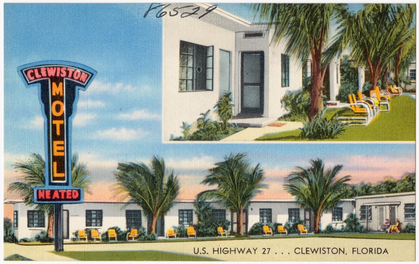
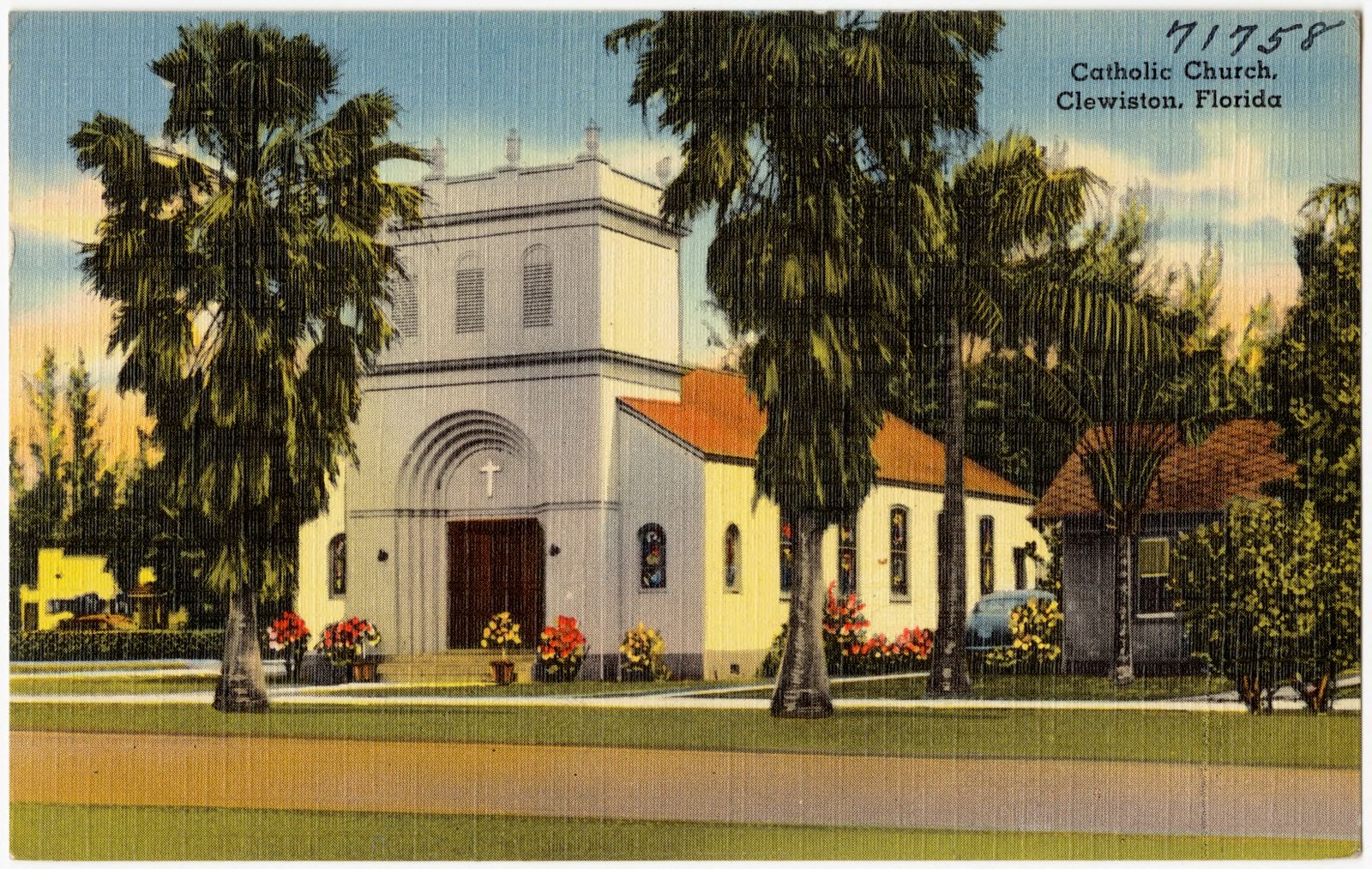
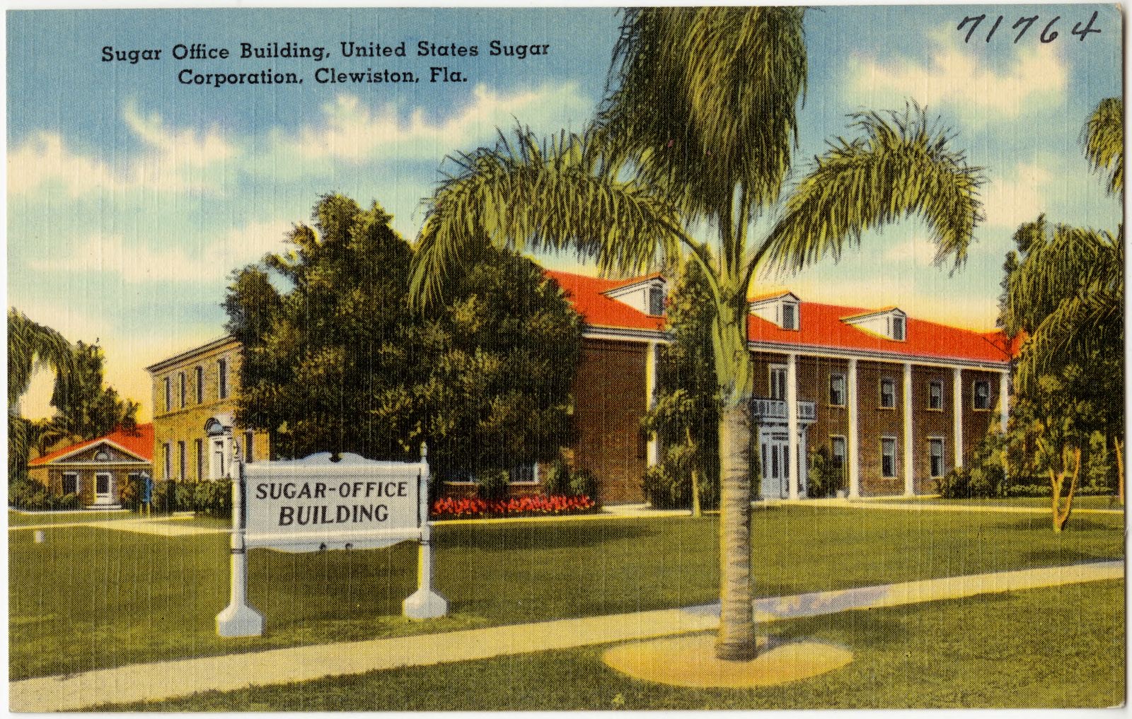
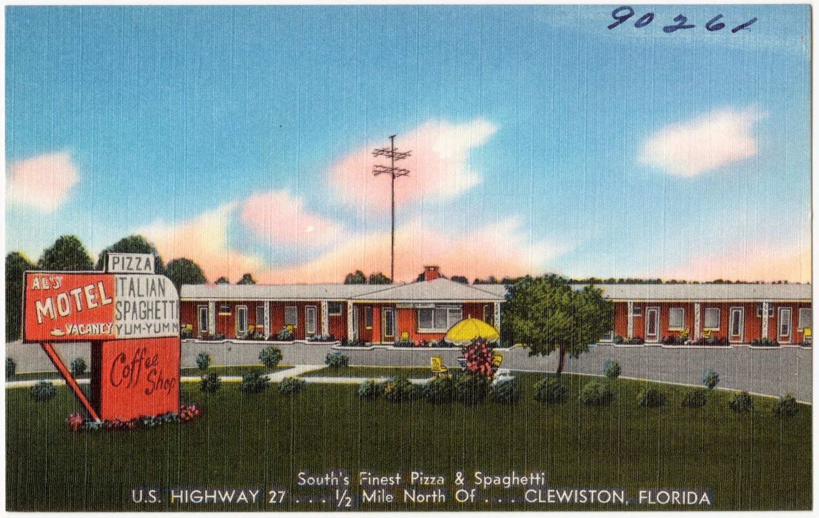
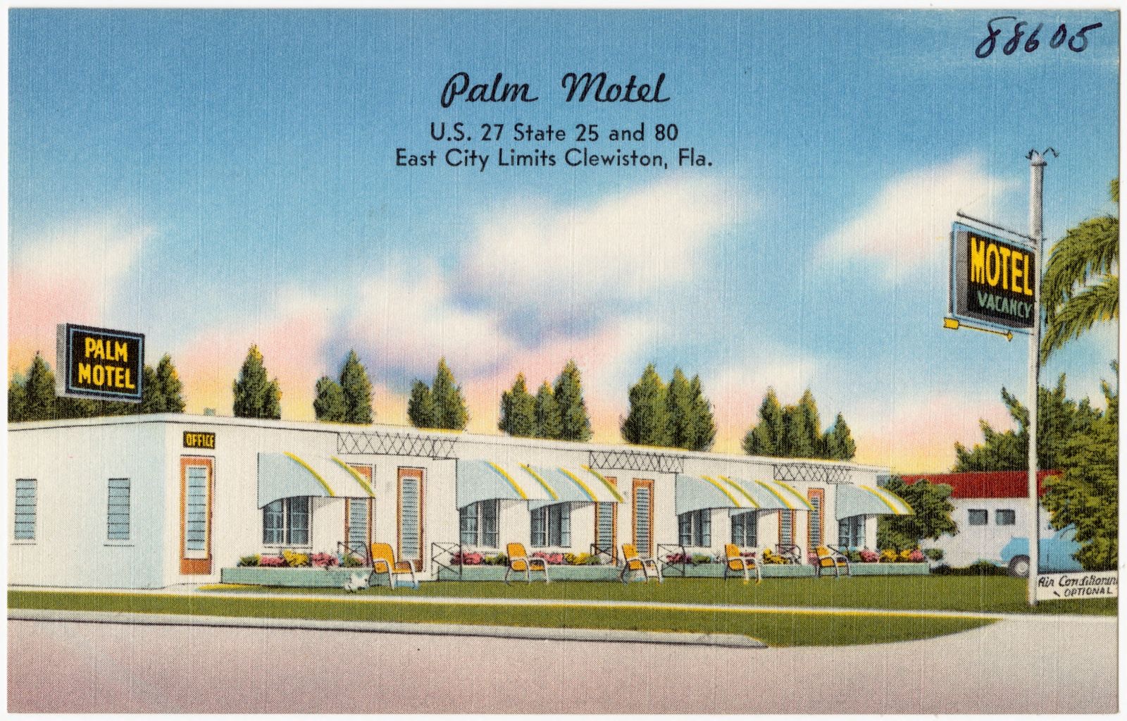
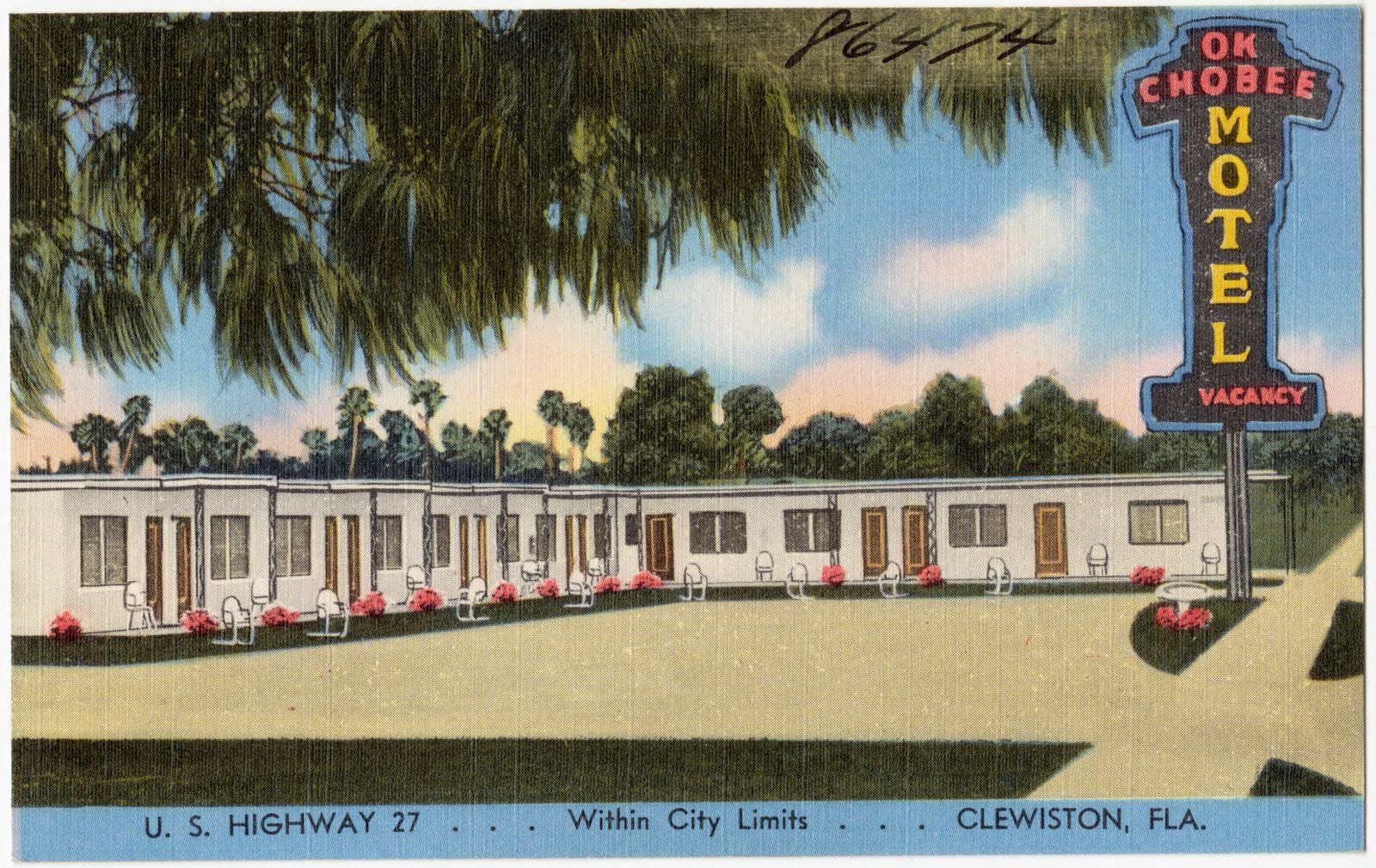
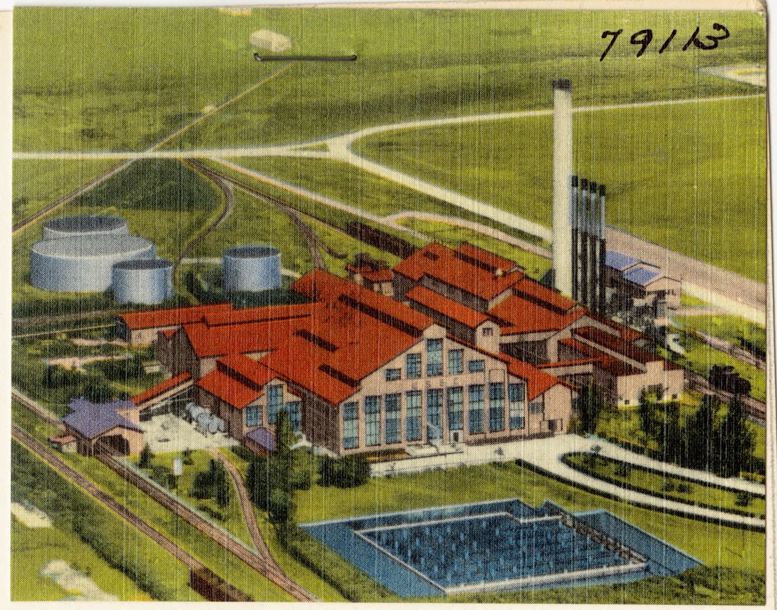
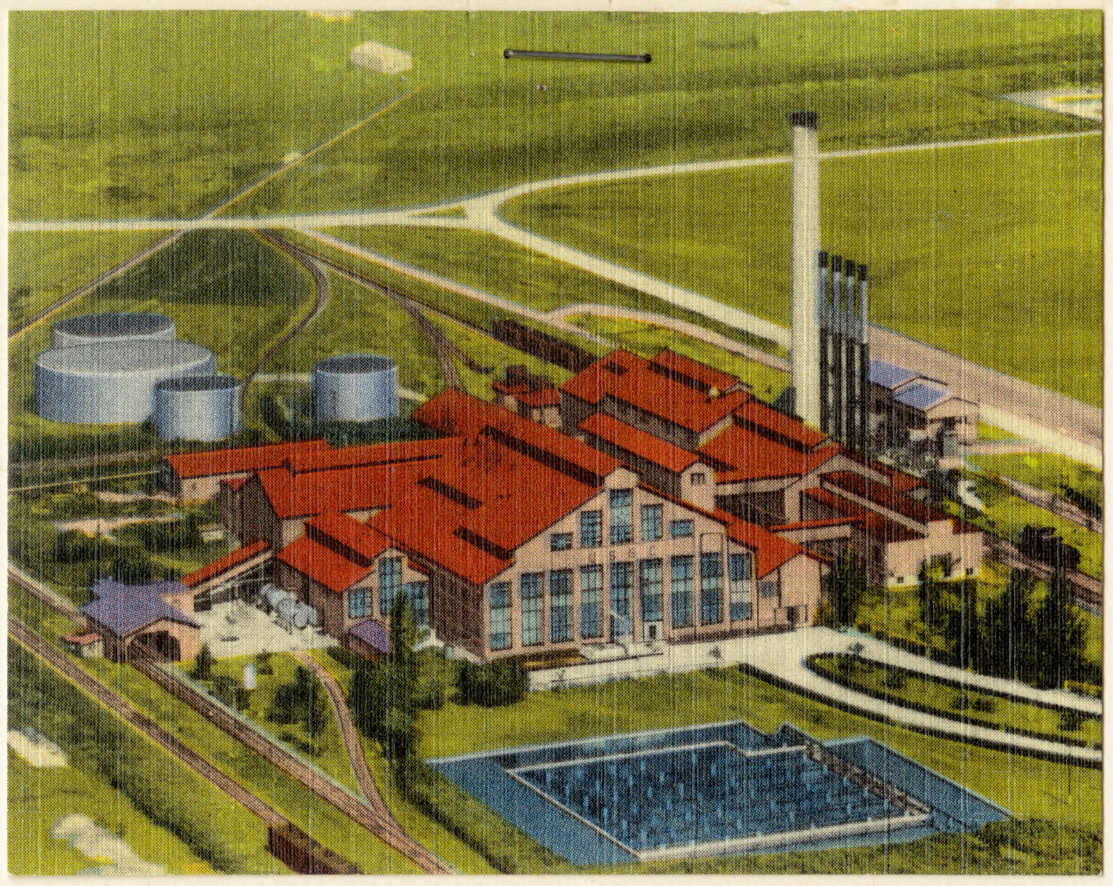
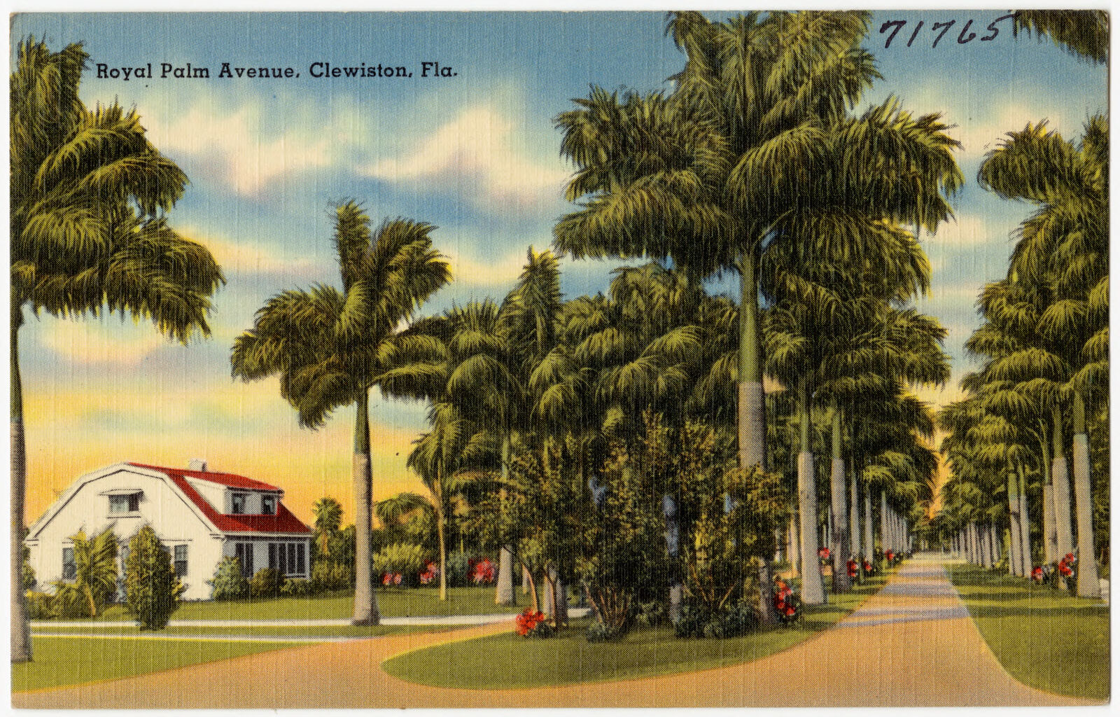
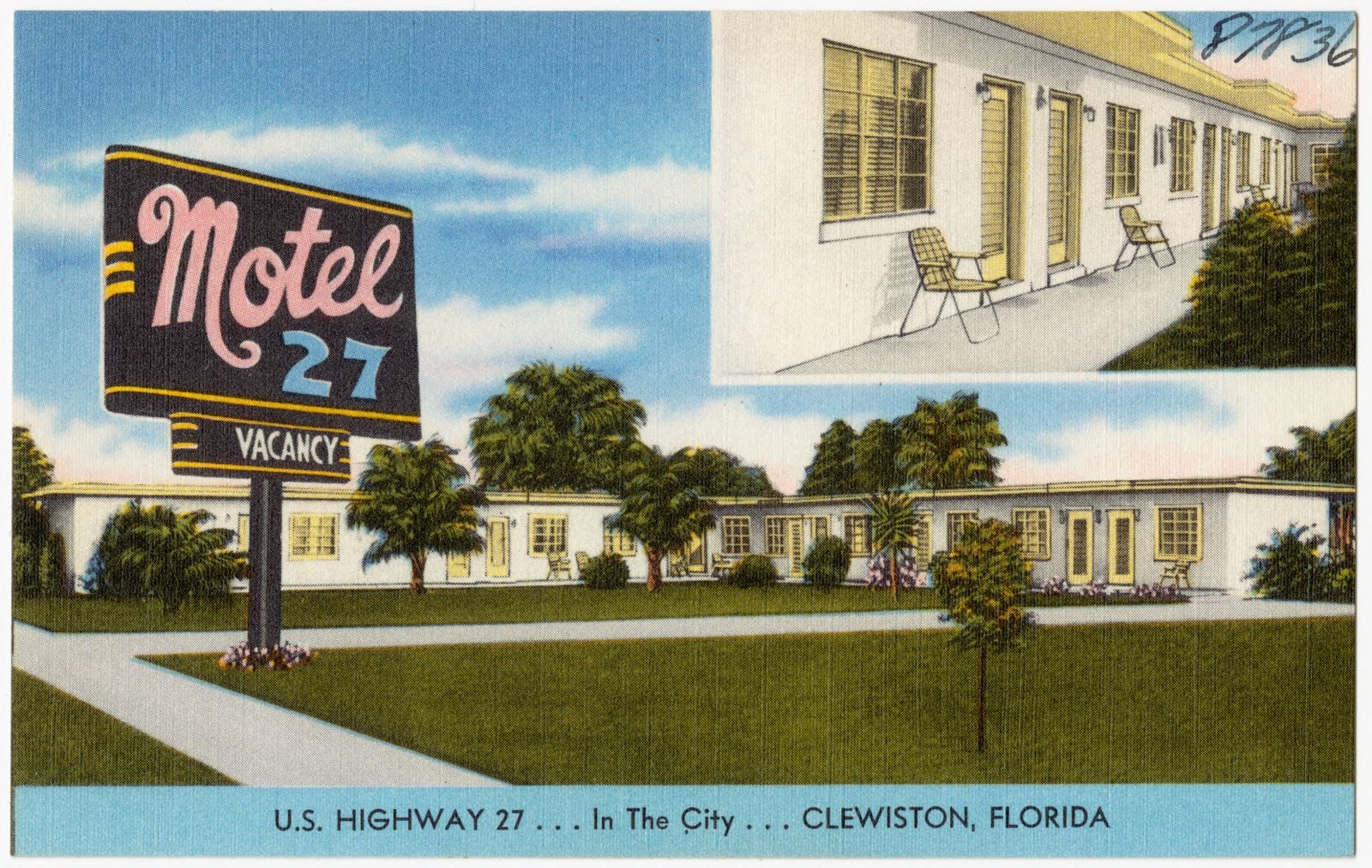
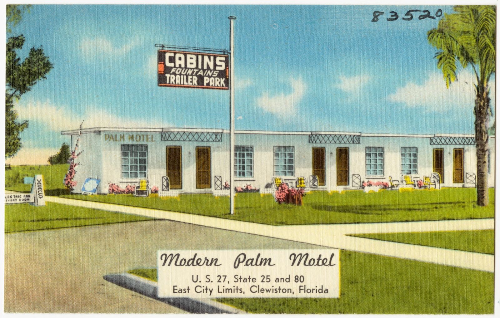
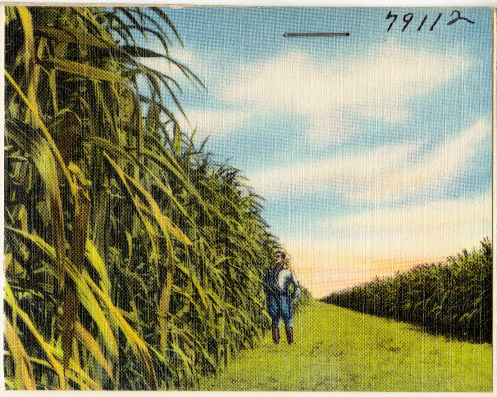
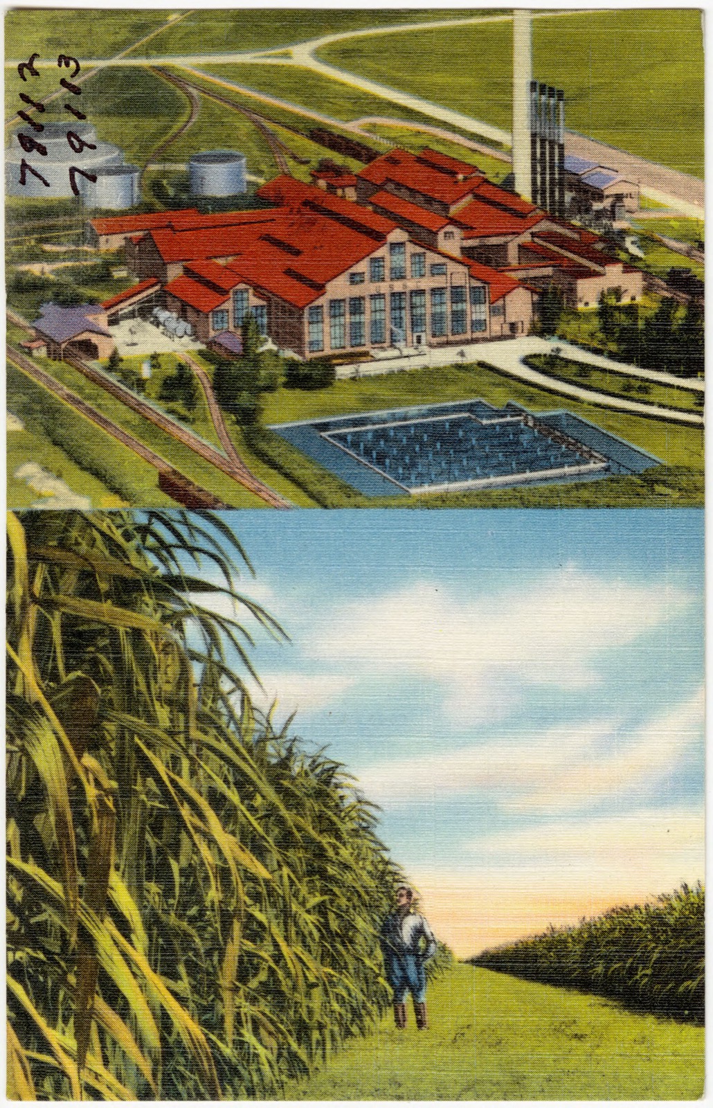
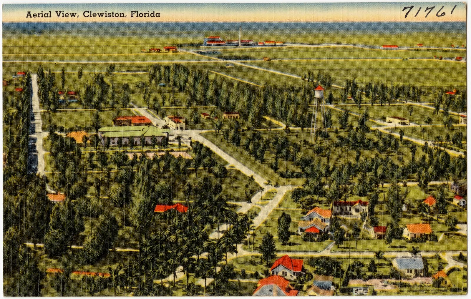
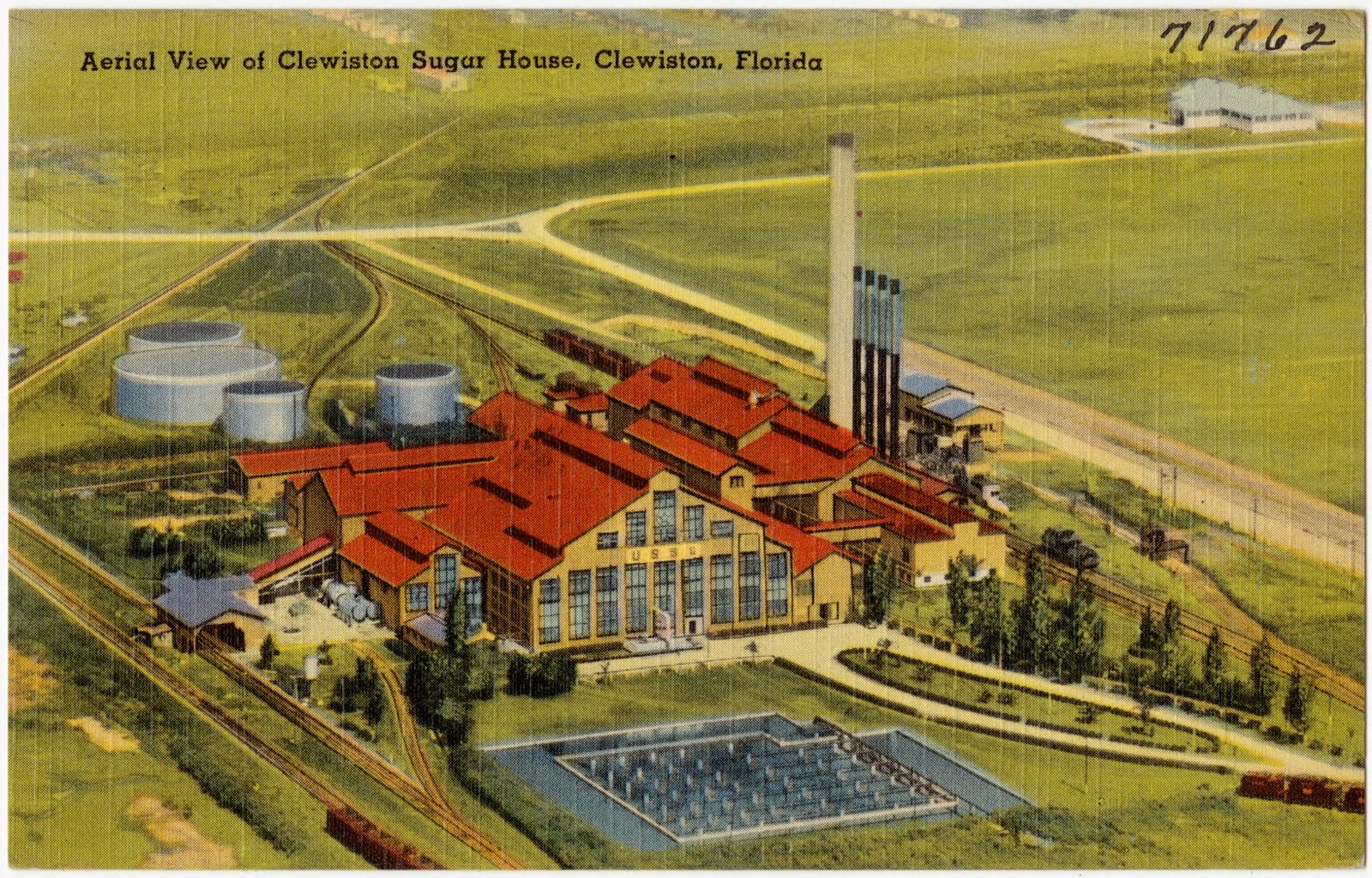
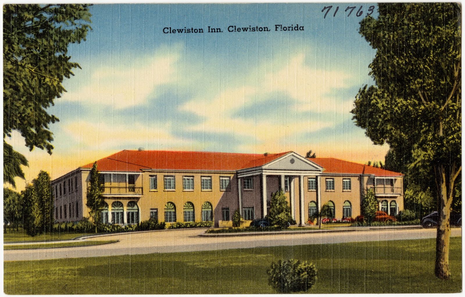
Selected from the Digital Public Library of America's 22 image records catalogued for this county. Every one shown here carries a public-domain status or a licence that permits reuse on a site that carries advertising; non-commercial, share-alike and restricted images are excluded. The selection is spread across the county's towns (at most eight per town), so no single institution's bulk upload crowds out the rest. Each opens the holding library's record, and the complete set at the Digital Public Library of America is one click away.
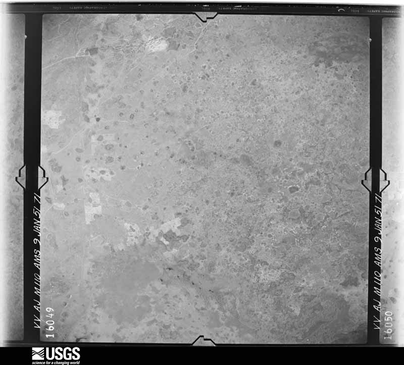
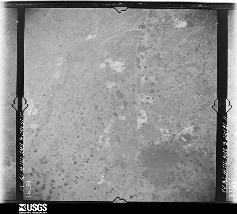
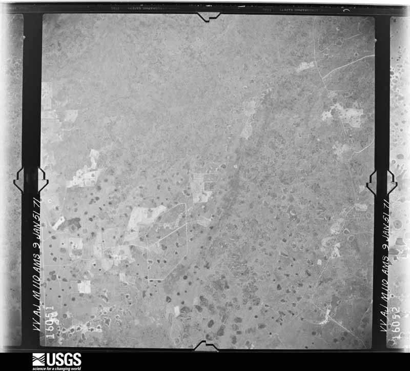
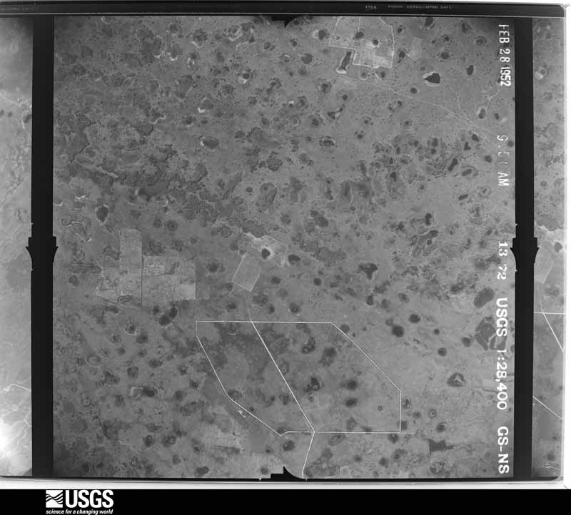
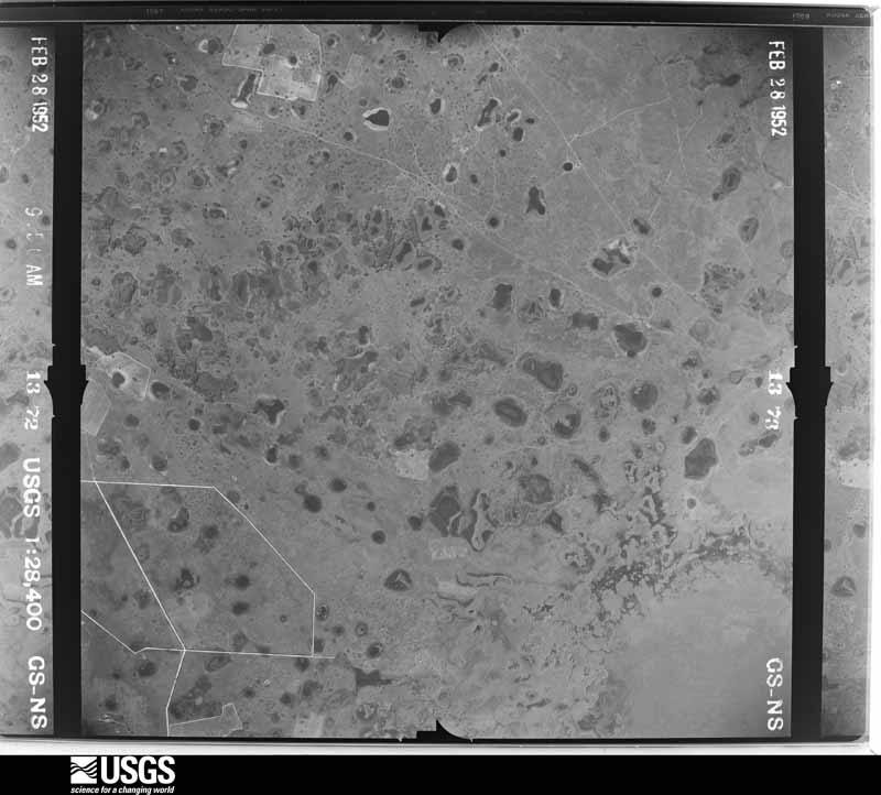
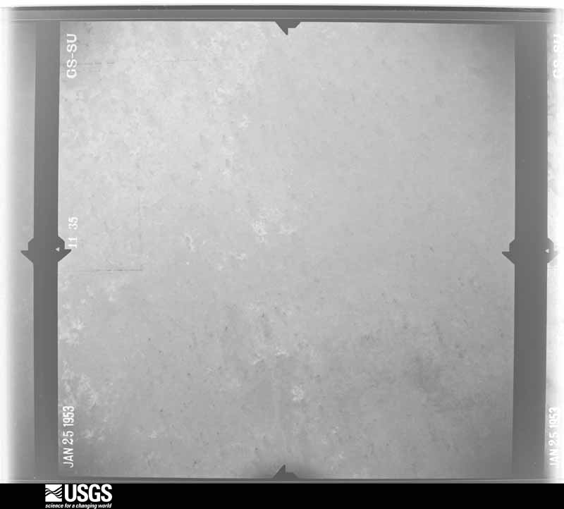
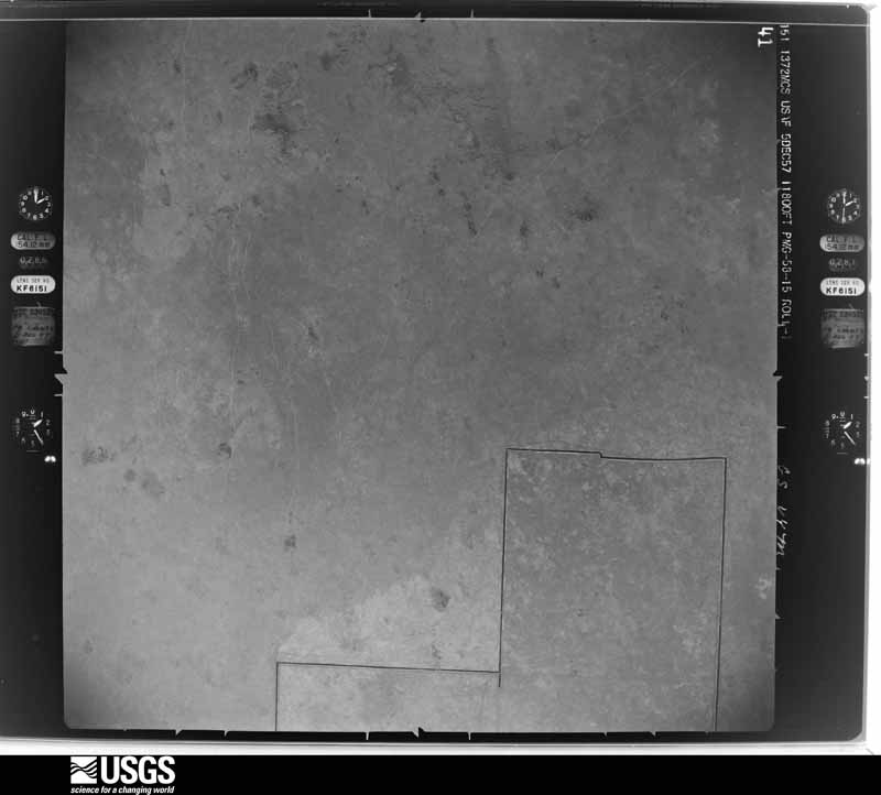
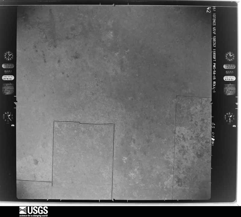
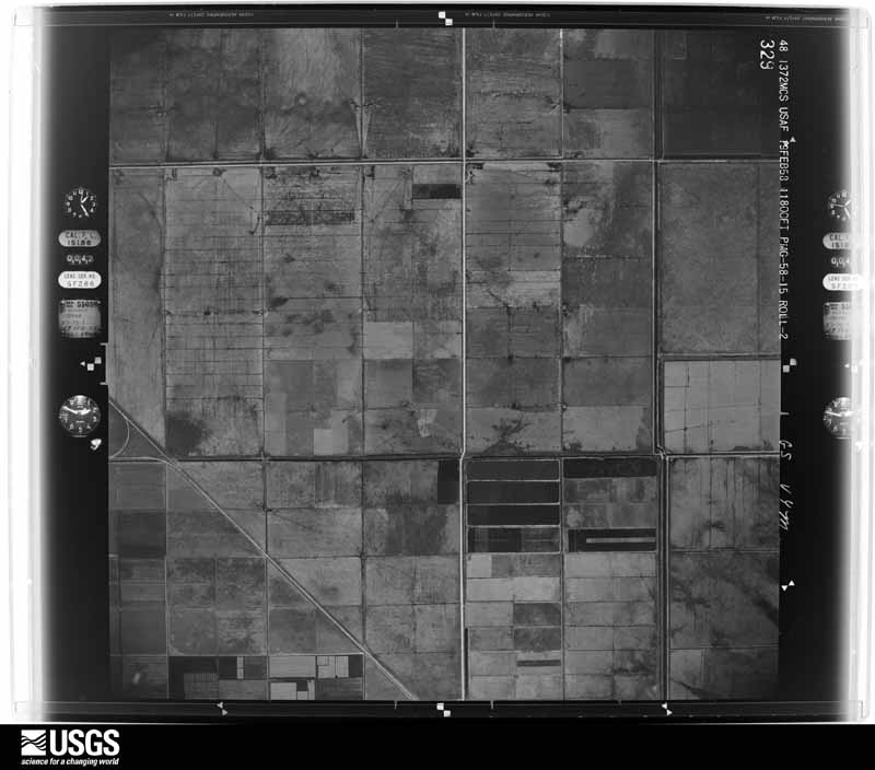
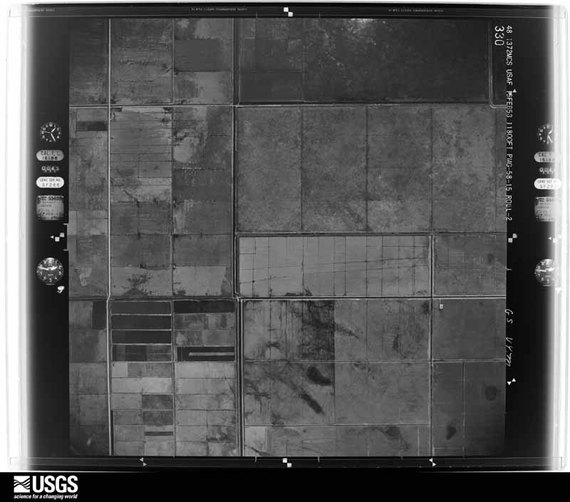
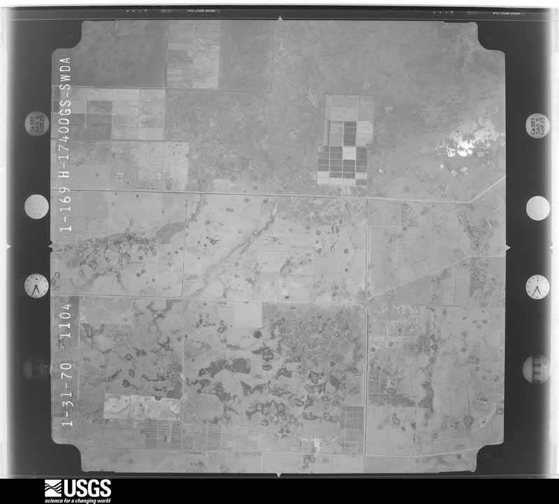
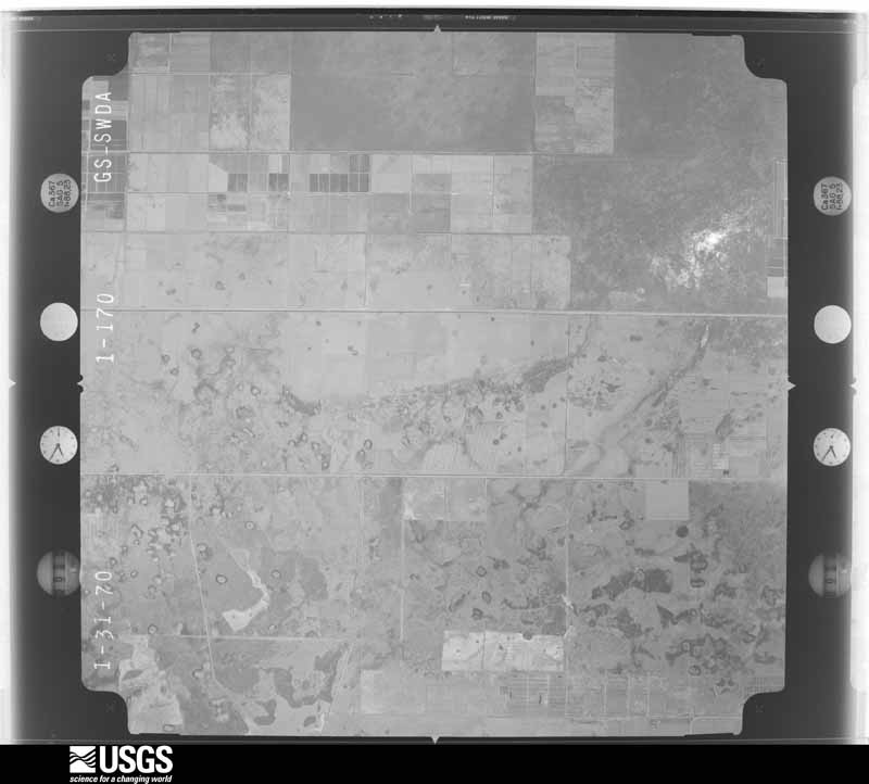
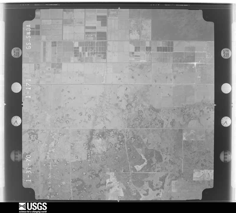
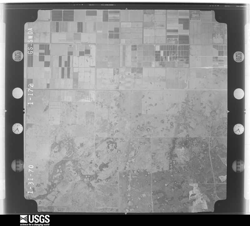
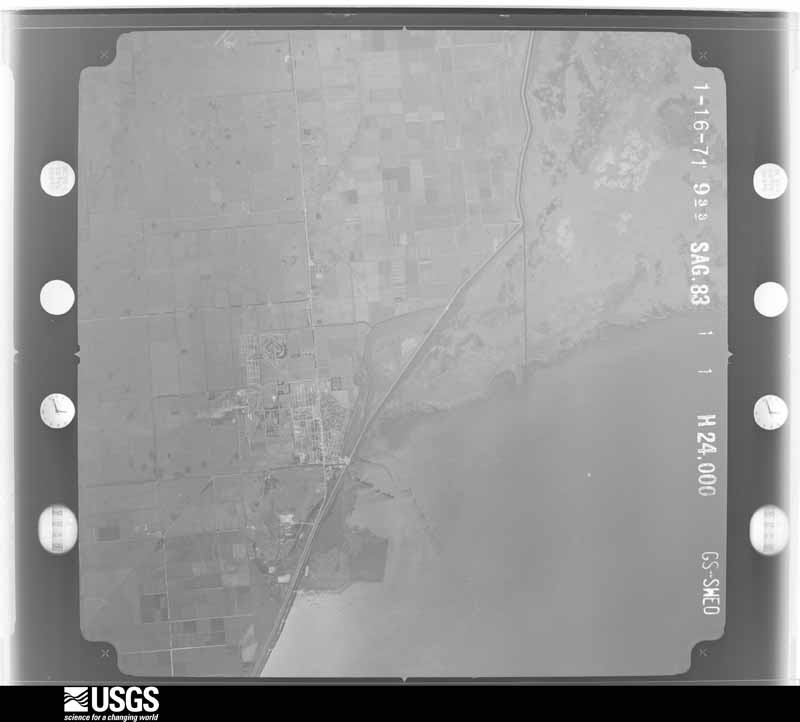
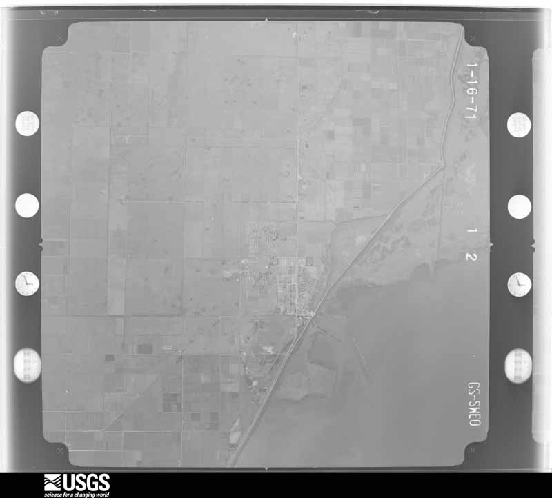
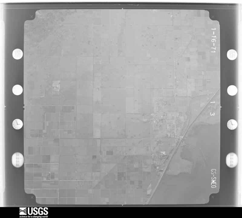
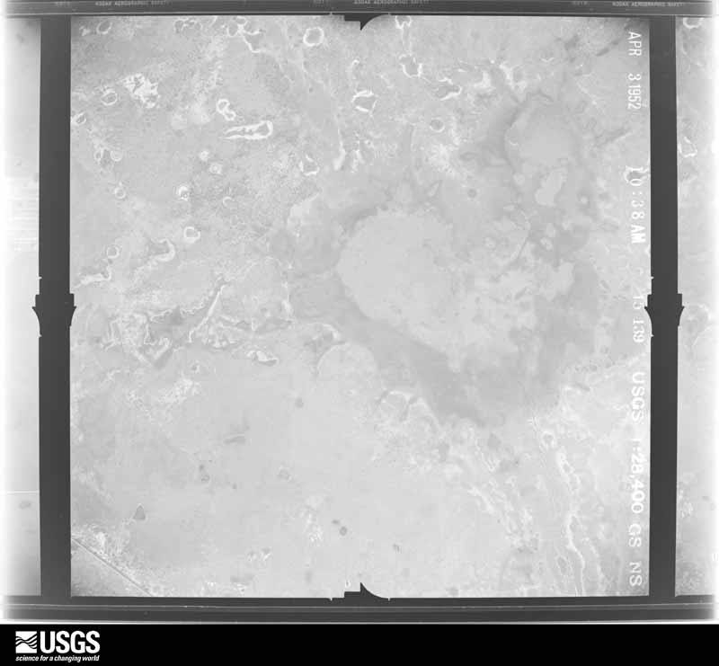
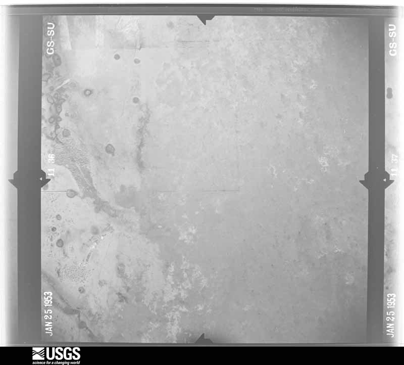
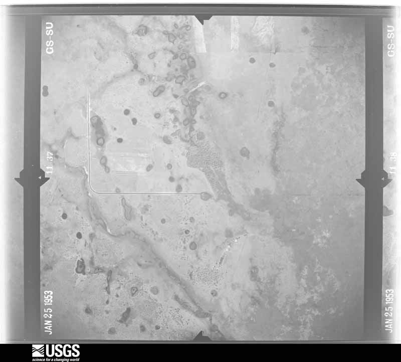
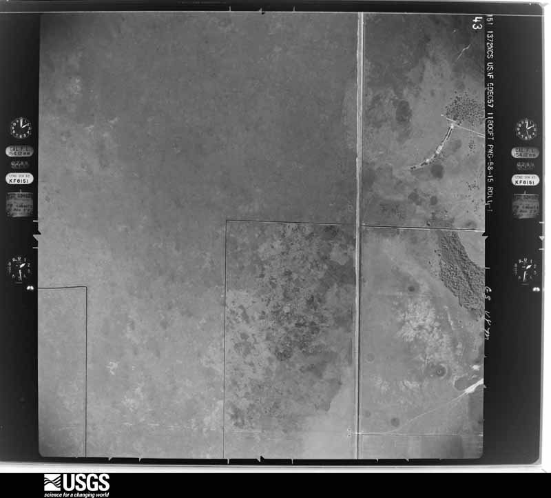
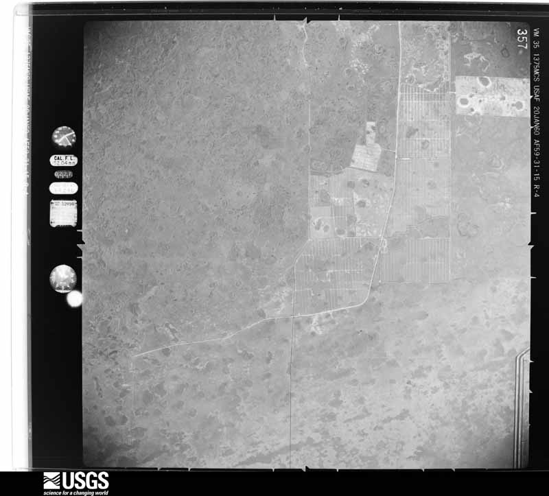
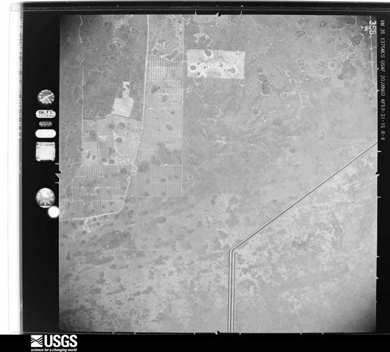
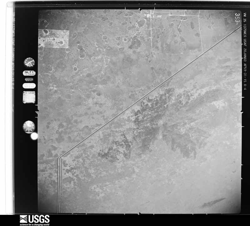
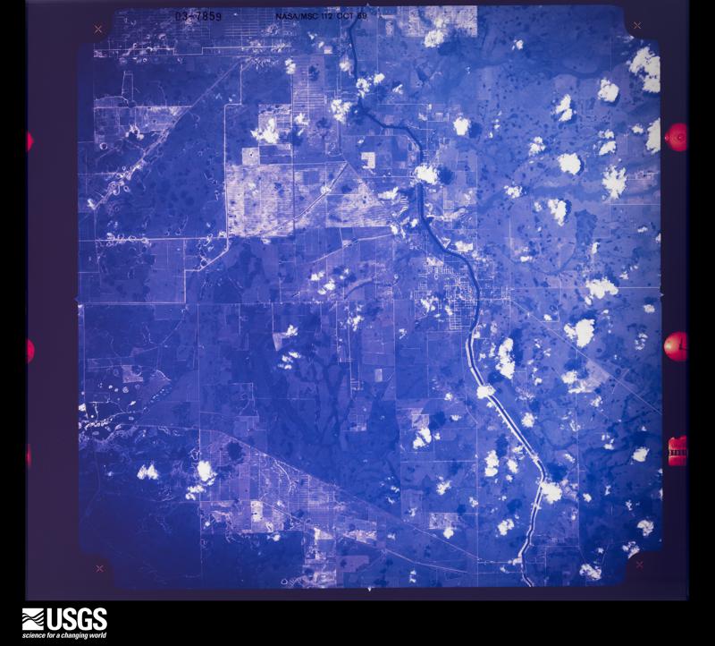
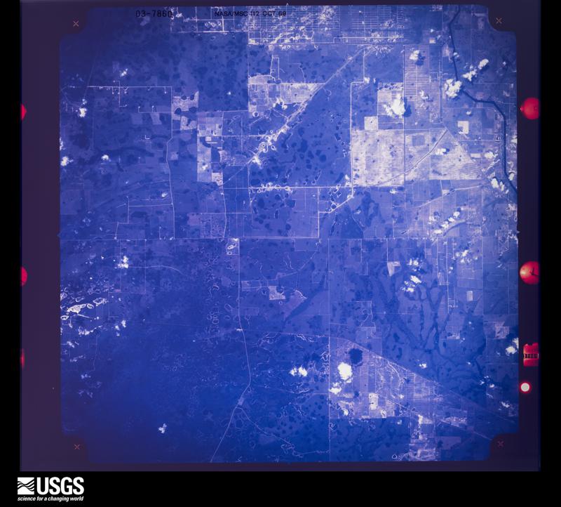
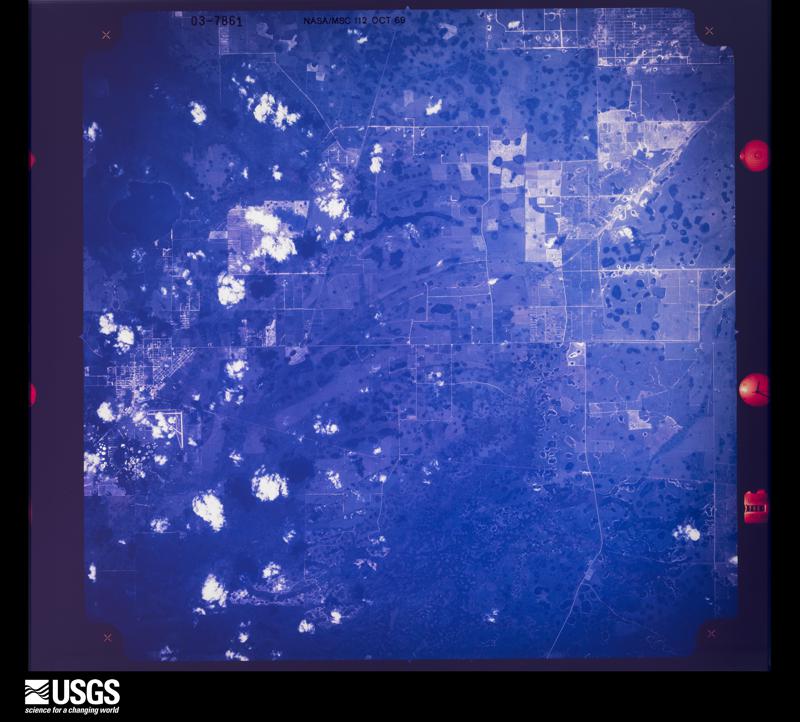
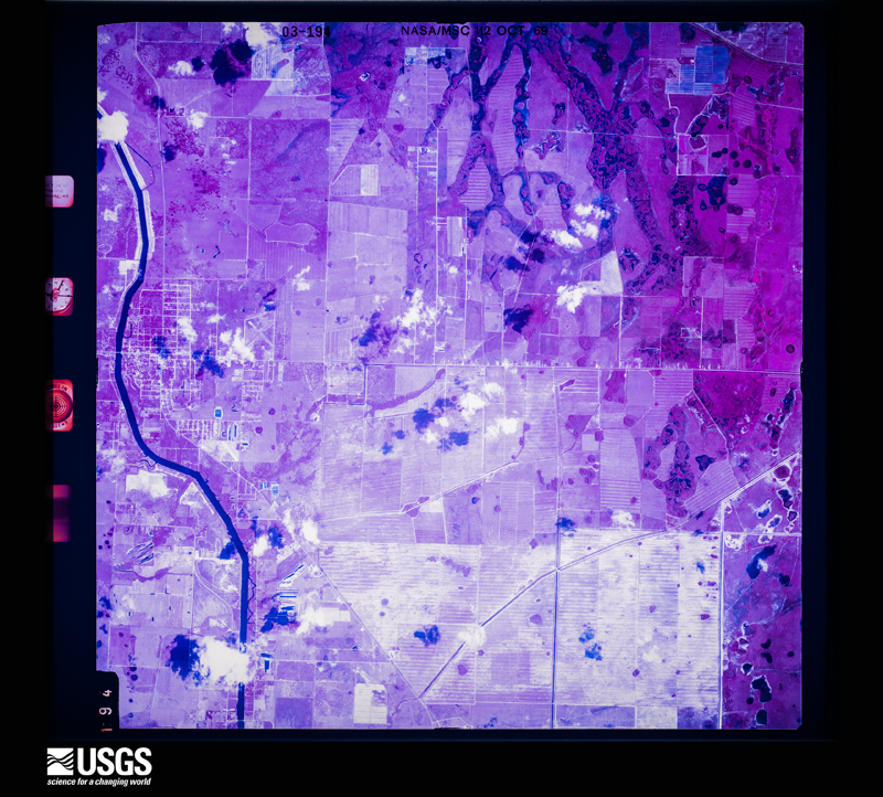
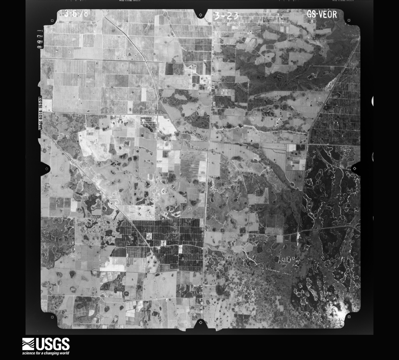
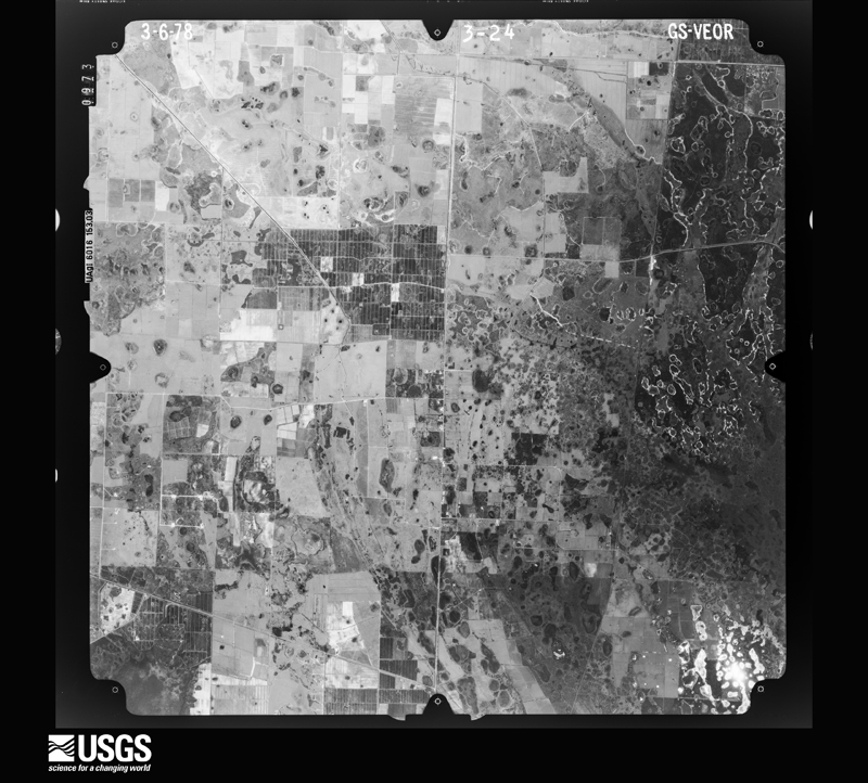
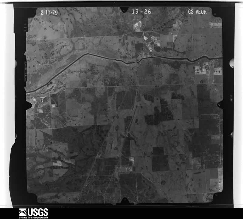
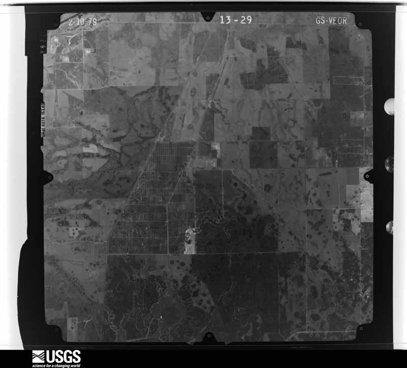
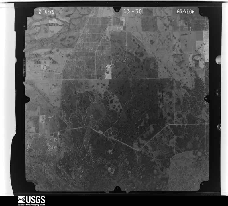
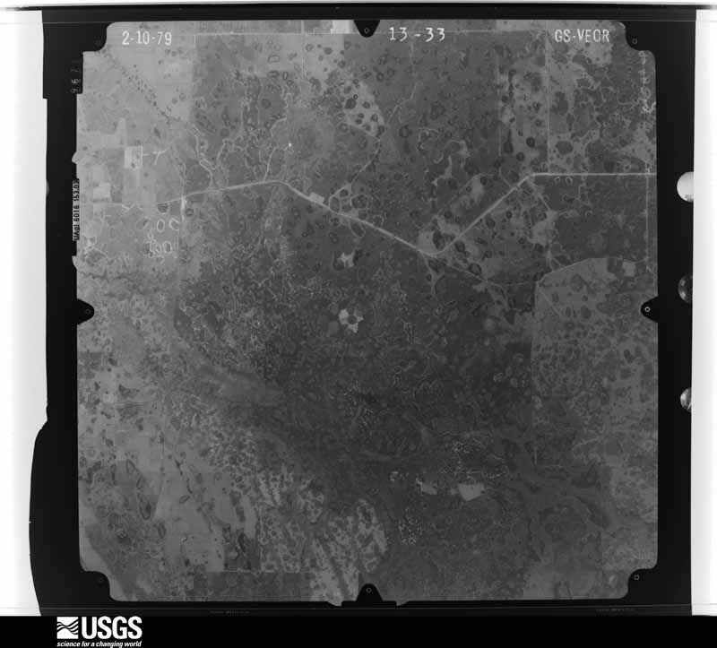
Flown by the U.S. Geological Survey between 1937 and 1989, the Aerial Photo Single Frames collection is the definitive mid-century view of the land: fields, roads and rivers as the camera saw them. The Survey holds 2,217 frames inside the rectangle that bounds this county; the 48 frames below were taken over the county itself, chosen across the decades of flights (at most four a year from that rectangle), so one flight cannot crowd out the rest. The full set is free to browse and download at EarthExplorer under the dataset Aerial Photo Single Frames.
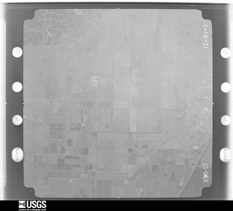
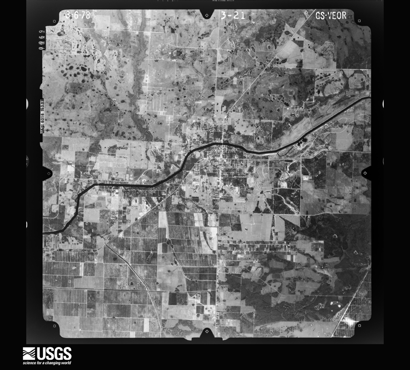
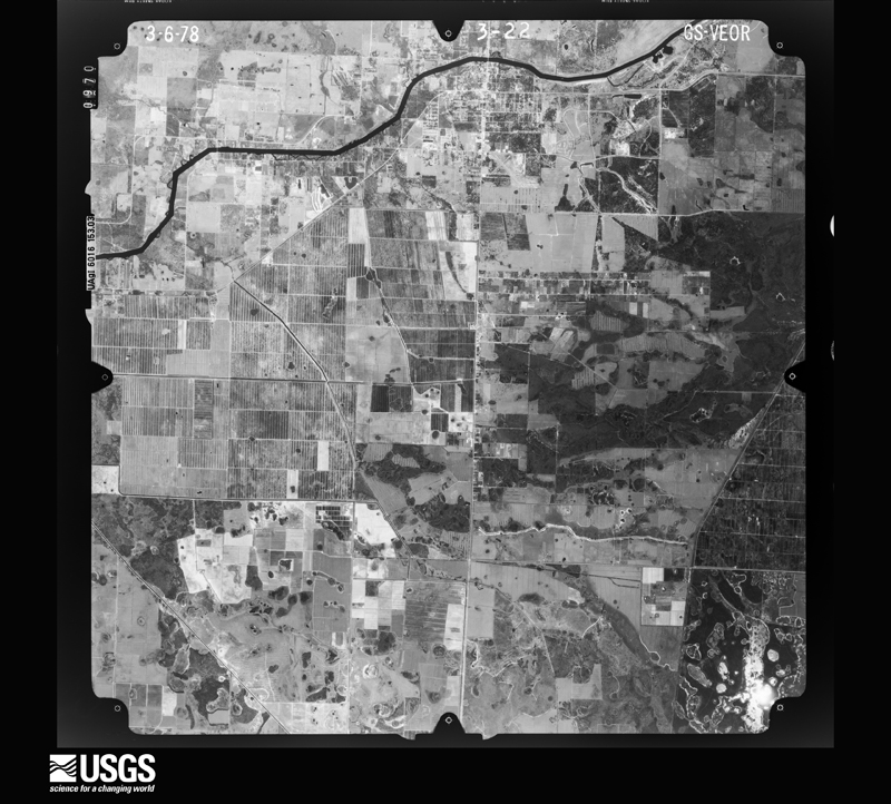
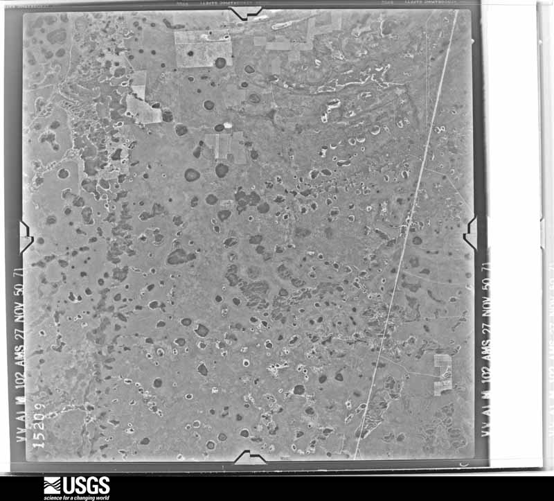
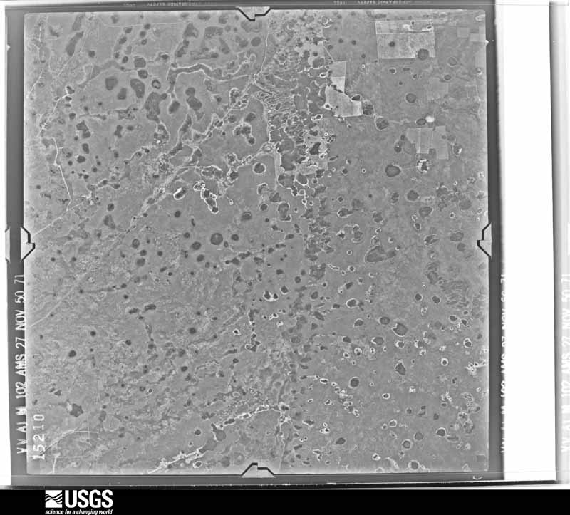

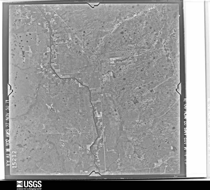
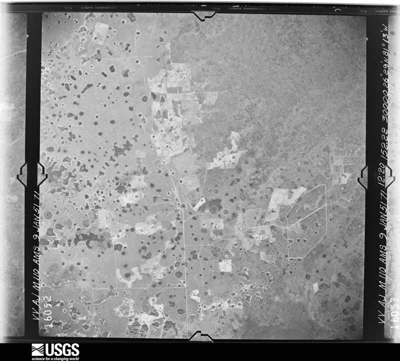
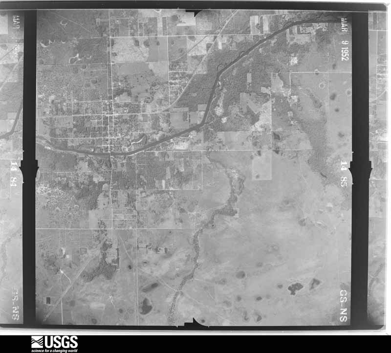
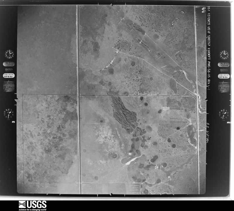
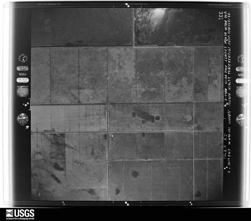
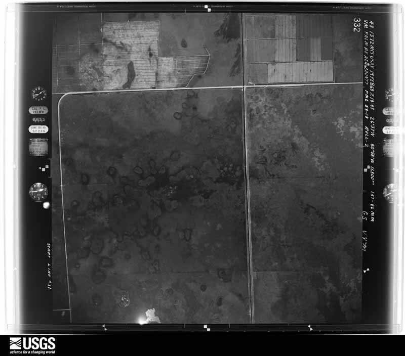
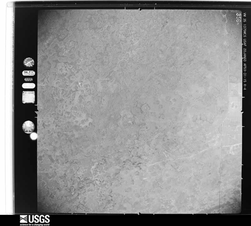
The thermometers that kept this county's weather, and the gages that measured the flow of its streams, as the federal records hold them. The extremes below are measured values from those records, not estimates.
Who lived here in 1950, one enumeration district at a time, as the Census Bureau described each district. Each row opens its official National Archives result, with Population Schedules and ED Maps available there.
Every wildfire the federal occurrence database records inside this county: 1,409 of them, burning about 46,814 acres. 331 started naturally and 121 were recorded as arson. Each settlement page carries the fires within five miles of it.
| Reported cause | Fires |
|---|---|
| Natural | 331 |
| Railroad operations and maintenance | 272 |
| Debris and open burning | 223 |
| Missing data/not specified/undetermined | 206 |
| Equipment and vehicle use | 165 |
| Arson/incendiarism | 121 |
| Power generation/transmission/distribution | 24 |
| Misuse of fire by a minor | 23 |
| Recreation and ceremony | 20 |
| Smoking | 12 |
| Fireworks | 8 |
| Other causes | 4 |
The five largest, by the area the report gives. None of them was recorded as arson.
| Date | Cause | Size | Reported by | Name on the report |
|---|---|---|---|---|
| 2 May 2007 | Natural | 4,450 acres | Florida Forest Service | PATERSON |
| 21 March 2018 | Natural | 2,940 acres | Florida Forest Service | W BOUNDARY RD (26) |
| 3 March 2018 | Debris and open burning | 2,637 acres | Seminole Tribe | CPI7_ESCAPE |
| 14 March 1999 | Railroad operations and maintenance | 2,180 acres | Florida Forest Service | not named |
| 18 April 2011 | Natural | 2,000 acres | Florida Forest Service | 26/IMMOKALEE RANCH FIRE |
| 24 June 2015 | Natural | 1,300 acres | Seminole Tribe | COWBONE 2 |
| 21 April 2019 | Natural | 1,127 acres | Florida Forest Service | ROGER ROAD (26) |
| 8 May 2009 | Equipment and vehicle use | 1,086 acres | Seminole Tribe | CEREMONIAL FIRE |
Every settlement page carries the fires within five miles of it - see the settlement index below.
The NOAA Storm Events Database holds 141 reports for this county, causing 4 deaths, 18 injuries and about $1,913,860 in recorded property damage. Each settlement page carries the reports that name it.
| Kind of event | Reports |
|---|---|
| Thunderstorm Wind | 40 |
| Hail | 34 |
| Tornado | 32 |
| Funnel Cloud | 21 |
| Flood | 5 |
| Wildfire | 3 |
| Flash Flood | 3 |
| Lightning | 3 |
The most serious of them, by death, then injury, then recorded damage. The accounts are quoted exactly as the forecast office filed them.
| When | Event | Place named | Harm | What the report says |
|---|---|---|---|---|
| June 1982 | Tornado (F2) | not stated | 1 killed, 1 hurt, $250,000 | no account filed |
| June 1972 | Tornado (F2) | Fort Denaud | 1 killed, 1 hurt, $10,000 | A tornado in the vicinity of Fort Denaud destroyed a trailer home killing a woman and injuring her daughter. The tornado then moved northward tearing up citrus groves before crossing into Glades County. Property damage was estimated at $10,000, with $5,000 in crop damage. Note: this event was added in 2018, following a reanalysis by NWS Melbourne. |
| June 2013 | Lightning | Clewiston | 1 killed, 1 hurt | A 57 year old male died and his 56 year old friend was injured when their boat was struck by lightning on Lake Okeechobee. The two men were boating and decided to dock at the Clewiston boat ramps as a thunderstorm approached. As they were making their way back to Clewiston, lightning struck their boat and both men were knocked unconscious. Some time later, the 56 year old male awoke and called 911 after realizing what happened. Hendry County EMS arrived on the scene and transported the unconscious male to Hendry County Regional Medical Center where he was pronounced dead. The other male was later taken to Palms West Hospital to be treated for his injuries. |
| September 2007 | Lightning | Harlem | 1 killed | A 49-year-old man was struck and killed by lightning while working on a vegetable farm in rural southern Hendry County. |
| September 1976 | Tornado (F1) | not stated | 6 hurt, $25,000 | no account filed |
| September 1993 | Tornado (F1) | Clewiston | 3 hurt, $500,000 | A tornado touched down near a mobile home park overturning two trailers and destroying another. A 70-foot trailer was flipped onto a car. Three people were injured in this trailer. Another trailer two blocks away was destroyed but its occupants fled just before it exploded. |
| July 2007 | Lightning | La Belle | 3 hurt | Three men were struck by lightning while moving furniture in LaBelle. They were taken to a nearby hospital as a precaution. One of the victims was knocked unconscious for a few minutes, then complained of pain in his chest and throat after regaining consciousness. Time is estimated. |
| March 2000 | Wildfire | La Belle | 1 hurt | A wildfire of unknown acreage caused evacuations and injured one firefighter. |
| September 1994 | Thunderstorm Wind | Fmy | 1 hurt | A car was blown off the road near the intersection of SR 80 and 27 injuring the driver slightly. |
| June 1992 | Thunderstorm Wind | not stated | 1 hurt | no account filed |
| August 2008 | Flood | Clewiston | $300,000 | Rainfall amounts ranged 7 to 10 inches over northern Collier, Hendry and Glades counties near the path of the center of Fay. Isolated areas in northeastern Hendry and southeastern Glades counties received well in excess of 10 inches, with Moore Haven recorded the highest storm total rainfall of 16.17 inches recorded in the 48-hour period ending at 8 AM on Wednesday, August 20th. Extensive flooding was observed over the areas with the highest totals, especially over Hendry and Glades counties. Hardest hit areas were the Felda and Montura areas in Hendry County were maximum rainfall amounts ranged from around 10 inches in Felda to as much as 12 to 15 inches in the Montura area. |
| April 1980 | Tornado (F1) | not stated | $250,000 | no account filed |
| March 1999 | Wildfire | Clewiston | $150,000 | no account filed |
| May 2023 | Thunderstorm Wind | Clewiston | $50,000 | The Hendry County Emergency Manager reported wind damage to private and public property in Clewiston due to a severe thunderstorm. Damage included a roof collapse at Clewiston Nursing and Rehabilitation Center, and downed large tree branches. |
| August 2004 | Tornado (F2) | Clewiston | $50,000 | A long-track supercell tornado, associated with a rainband of Hurricane Charley, moved across the open Everglades before striking a building in Clewiston. |
| January 1999 | Tornado (F0) | La Belle | $50,000 | A tornado touched down on a farm in Port LaBelle, damaging a travel trailer, barn and boat. It blew down several large trees. |
| October 1993 | Thunderstorm Wind | not stated | $50,000 | Two mobile homes were destroyed and one damaged by thunderstorm winds 25 miles east of Fort Myers. |
| January 1982 | Tornado (F0) | not stated | $25,000 | no account filed |
| May 1980 | Tornado (F1) | not stated | $25,000 | no account filed |
| May 1980 | Tornado (F1) | not stated | $25,000 | no account filed |
| November 1968 | Tornado (F2) | not stated | $25,000 | no account filed |
| September 2017 | Flood | Denaud | $20,000 | Extensive sheet flow' flooding caused by heavy rain from Hurricane Irma affected parts of Hendry County. A total of 9 to 11 inches of rain fell in the area during a 48-hour period leading up to and through the event. Estimated amounts of up to 16 inches or higher may have fallen in parts of Hendry County. No major roads were affected, however many properties remained under water for days. |
| July 2001 | Tornado (F1) | La Belle | $20,000 | A tornado touched down on S.R. 29 damaging the roof of the Tootsie Roll Drive Thru. |
| October 2024 | Tornado (EF1) | Clewiston Airglades | $15,000 | A tornado was produced as a storm took on super-cellular characteristics as it exited Collier County and moved into Hendry County. Although there were no eyewitness reports, a National Weather Service survey team was able to find scattered areas of utility pole damage. Coincident with one area of pole damage was a tornadic debris signature (TDS) as the tornado crossed State Route 80 at the Hendry/Glades County line around 10:55 AM EST. The TDS dissipated and the last damage was identified just south of Palmdale in Glades County. |The tornado was rated as an EF-1, after traveling a total 29.89 miles, with an estimated maximum winds around 110 mph. |
| October 2021 | Thunderstorm Wind | Clewiston | $10,000 | A severe thunderstorm moved ESE over Clewiston, producing damage along an approximately half-mile long path. First indication of damage was at the intersection of Berner Road and US 27 where a shed was blown onto the edge of the roadway, power lines were downed, and shopping carts were tossed into cars at the Sugarland Plaza. Farther to the ESE along W. Ventura Avenue, a window was broken at a nursing and rehab center, 2 downed large tree branches, and a carport cover was blown into the front yard of a home. A large tree branch was downed along Gloria Street next to Hendry Regional Medical Center. The final damage location was along W. Alverdez Avenue where roof siding was blown into the front yards of 2 homes. ||Damage amounts are estimated, along with the time. |
| June 2004 | Thunderstorm Wind | La Belle | $10,000 | A severe thunderstorm blew down numerous trees and power lines in downtown La Belle. |
| September 1996 | Thunderstorm Wind | Clewiston | $10,000 | no account filed |
| June 2007 | Tornado (EF0) | La Belle | $8,000 | EF0 tornado with maximum winds estimated at 70 mph damaged the metal roof of a social hall for the Primera Iglesia Baptist Church just south of LaBelle near the intersection of State Road 29 and Case Road. Several eyewitnesses observed the tornado move across the road before striking the building. About half of the metal roof sheeting was lifted and thrown off, and part of a chain link fence on the the property was knocked down. |
| October 2024 | Tornado (EF1) | Clewiston Airglades | $7,000 | This is one of three brief tornadoes associated with a cluster of three supercells across the interior Hendry County in the early afternoon. The tornado was rated as an EF-1 with estimated an maximum winds near 102 mph. Damage to a large utility pole was noted along Wilson Way, to the west of County Road 833 during the storm survey. Time and path width are estimated based on radar velocity couplet. Damage amount is estimated. |
| May 2023 | Thunderstorm Wind | Clewiston | $5,000 | Broadcast meteorologist and county emergency managers reported several trees down and fence damage in Clewiston in the area near Clewiston Middle School and extending south to Sykes Park. |
| May 2012 | Thunderstorm Wind | Harlem | $5,000 | The Emergency Manager for Hendry County reported a severe thunderstorm snapped several trees and downed at least 6 powerline poles near the intersection of old U.S. Highway 27 and Hookers Point Road east of Clewiston. |
| June 2004 | Tornado (F0) | La Belle | $5,000 | A tornado touched down on Sixth Avenue and traveled six blocks before lifting. Damage was to a roof, windows and trees. |
| June 2001 | Thunderstorm Wind | La Belle | $5,000 | A thunderstorm wind gust estimated at 75 mph blew down tree limbs and power lines. |
| August 2001 | Thunderstorm Wind | Clewiston | $2,000 | The Sheriff's Office reported several power lines blown down. |
| August 2024 | Thunderstorm Wind | Clewiston Airglades | $1,000 | Report from Hendry County emergency manager of minor damage to a metal roof in Montura, as well as minor damage to a nearby metal fence. Time is estimated based on radar data. |
| October 2024 | Tornado (EF0) | Clewiston Airglades | $1,000 | This is one of three brief tornadoes associated with a cluster of three supercells across the interior Hendry County in the early afternoon. The tornado was rated as an EF-0 with estimated an maximum winds near 65 mph. Time and path width are estimated based on radar velocity couplet. Damage amount is estimated. |
| October 2024 | Tornado (EF1) | Clewiston Airglades | $1,000 | This is one of three brief tornadoes associated with a cluster of three supercells across the interior Hendry County in the early afternoon. The tornado was rated as an EF-1 with estimated an maximum winds near 107 mph, based on tree damage. Time and path width are estimated based on radar velocity couplet. Damage amount is estimated. |
| June 2008 | Thunderstorm Wind | La Belle | $1,000 | The public reported two trees downed by a passing severe thunderstorm. |
| June 2007 | Thunderstorm Wind | Denaud | $1,000 | Several utility sheds suffered minor damaged in Fort Denaud on Fort Simmons Avenue. |
| July 1999 | Thunderstorm Wind | La Belle | $1,000 | no account filed |
| July 2009 | Thunderstorm Wind | Clewiston | $500 | A wind gust from a thunderstorm in Clewiston ripped a house awning off. |
| June 1989 | Tornado (F0) | not stated | $250 | no account filed |
| September 1995 | Tornado (F0) | LaBelle | $50 | A brief, weak tornado touched down in the Double J mobile home park causing minor damage to one mobile home. |
| May 1960 | Tornado (F0) | not stated | $30 | no account filed |
| May 1957 | Tornado (F1) | not stated | $30 | no account filed |
| March 2026 | Funnel Cloud | Denaud | - | Social media image depicts a funnel cloud associated with a thunderstorm near LaBelle. |
| May 2025 | Hail | La Belle | - | A Southwest Florida television viewer measured quarter sized hail in LaBelle from a severe thunderstorm. |
| May 2025 | Hail | Devils Garden | - | A member of the broadcast media relayed a viewer report of ping pong ball sized hail during a severe thunderstorm in Pioneer Plantation. |
| July 2025 | Hail | La Belle | - | Hail of dime to quarter dollar size reported around 3 miles south of La Belle on SR 29 with strong to severe thunderstorms in the area. |
| May 2025 | Hail | La Belle | - | Broadcast Media shared photos of half dollar sized hail that occurred over La Belle as a severe thunderstorm moved overhead. |
| May 2024 | Funnel Cloud | Devils Garden | - | A Hendry County official reported a funnel cloud near Lexington Parkway and State Route 80 associated with a thunderstorm in the area. |
| October 2024 | Tornado (EFU) | Harlem | - | The tornado first spotted near Interstate 75 just west of the Collier/Broward County line traveled a total 13.52 miles through Collier and Hendry Counties. Florida Department of Transportation traffic cameras and numerous public videos showed the progress of a large tornado across Interstate 75 and north-northwestward over rural portions of eastern Collier County to the west of Snake Road. After traveling 9.51 miles, the tornado was spotted crossing the Hendry County line and entered the Big Cypress Seminole Indian Reservation around 8:53 AM EST. It traveled north-northwestward for an additional 4.01 miles in Hendry County before dissipating. A storm chaser provided a video with debris aloft crossing Josie Billie Highway just east of Big Cypress Seminole Village. There were no reports, nor storm survey findings, indicating damage caused by the tornado. |
| October 2024 | Tornado (EF1) | Harlem | - | The supercell that produced tornadoes further south, near Interstate 75 and US Highway 41, spawned a new tornado which moved through rural portions of eastern Hendry County until it passed just west of the city of Clewiston. It moved across the area of the Sky Valley neighborhood west of Clewiston around 10:10 AM before crossing county boundaries and entering Glades County at 10:11 AM EST. A public video and photo reports from the area around the Clewiston Walmart show a large tornado with debris crossing Sugarland Highway/US 27 near Sky Valley. The tornado was rated as an EF-1 with an estimated maximum winds at 95 mph. There were trees damaged and downed powerlines across the area. Path width is estimated based on pictures and video. |
| May 2023 | Funnel Cloud | La Belle | - | Broadcast media shared a picture of a funnel cloud near La Belle, associated with a thunderstorm. |
| July 2023 | Flood | Devils Garden | - | As much as 6 to 9 inches of rain fell in the Port LaBelle area during the late afternoon and early evening of July 31st, leading to street flooding. Cowboy Way was closed for several days from Birchwood Parkway to NW Raintree Blvd. No structures were impacted. ||The flooding continued into the first few days of August, and is also included in the August StormData publication. |
| August 2023 | Flood | Devils Garden | - | As much as 6 to 9 inches of rain fell in the Port LaBelle area during the late afternoon and early evening of July 31st, leading to street flooding. An additional 3-5 inches of rain from August 1 through August 3 exacerbated flooding conditions. Cowboy Way was closed for several days from Birchwood Parkway to NW Raintree Blvd. No structures were impacted. |
| April 2022 | Hail | La Belle | - | Report relayed by emergency manager of hail larger than quarter size near Nobles Road in NW LaBelle. Time is radar estimated. |
| April 2022 | Hail | Devils Garden | - | Emergency managers reported hail up to the size of quarters. Car reported dented from large hail along Florida SR 80 near the border of Glades and Hendry counties. |
| April 2022 | Hail | La Belle | - | WINK TV relayed a report and photo of very large hail associated with a severe thunderstorm in LaBelle. The hail was estimated to be about 2 inches in diameter. Time estimated via radar. |
| April 2022 | Hail | La Belle | - | LaBelle fire station employee reported quarter size hail. |
The Survey's mineral resources record lists 7 workings inside this county. 6 still produce and 1 is closed or unrecorded. Each settlement page carries the workings within five miles of it.
| Commodity | Workings |
|---|---|
| Stone, Crushed/Broken | 3 |
| Sand | 3 |
| Calcium | 1 |
The least common of them first, because a county's hundredth gravel pit says nothing its first ten did not.
| Where | Site | Commodity | Status | Recorded |
|---|---|---|---|---|
| Roland & Swindle Rock Pit | Calcium | Past Producer | ||
| Labelle Limerock Pit | Stone, Crushed/Broken | Producer | ||
| Mec Rock Pit | Stone, Crushed/Broken | Producer | ||
| Ridgdill & Son, Inc. - Ridgdill #4 | Sand | Producer | ||
| Ridgdill & Son, Inc. - Ridgdill #6 | Sand | Producer | ||
| Ridgdill & Son, Inc. - Ridgdill #7 | Sand | Producer | ||
| Ridgill and Son Mine | Stone, Crushed/Broken | Producer |
Named settlements recorded in the Geographic Names Information System, each with the topographic sheets covering it. Villages, hamlets and abandoned places alike. Each is shown with the nearest named watercourse or landform and the survey quadrangle it falls on.
Clewiston census division · 33440 · Clewiston South quadrangle
11 sheets, 1956 to 1987
Clewiston census division · 33440 · Clewiston South quadrangle
11 sheets, 1956 to 1987