 Block
BlockFlorida Gardens, Florida
14 topographic sheets cover this place, the earliest surveyed in 1945 and the latest in 1987. It stands in the Lake Worth census division. It lies in ZIP code area 33467. The Survey maps it on the Greenacres City quadrangle.
Then and now
1945 to 1987The same ground, surveyed 42 years apart. Drag the handle to wipe between them. Both sheets are United States Geological Survey originals; neither has been altered.
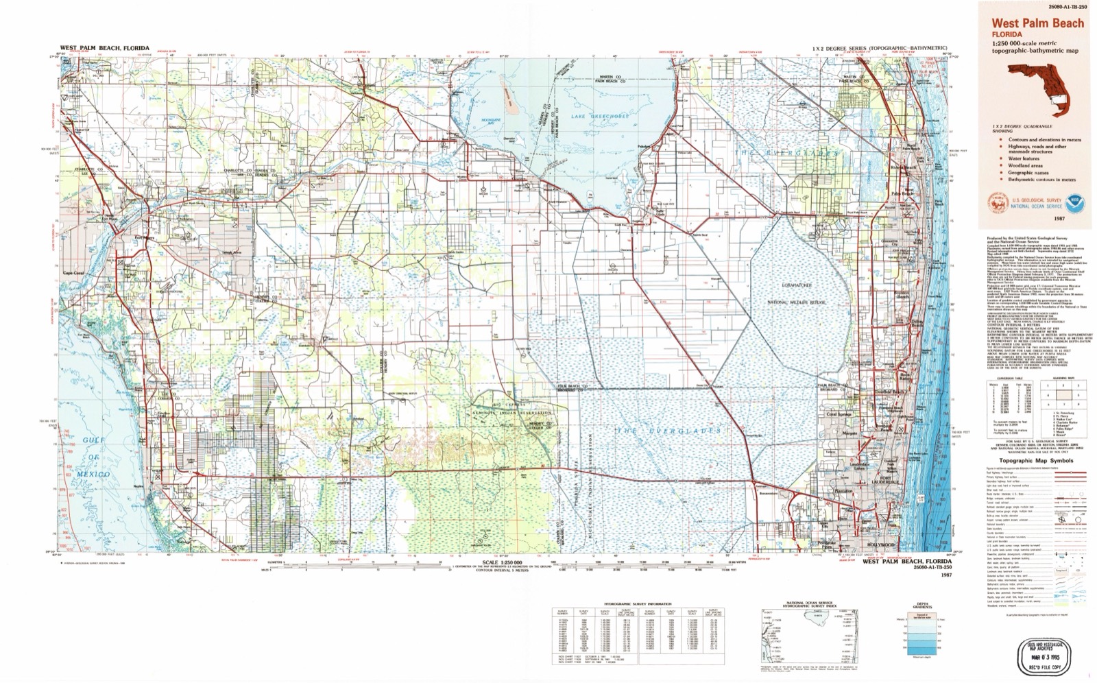
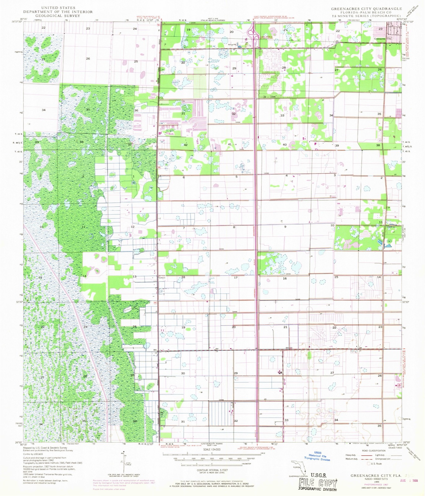
Compare 1945 against another survey:
Topographic sheets covering this place
8 surveys from 14 printed sheetsMatched by testing this settlement's coordinate against the published boundary of every sheet in the United States Geological Survey's historical collection. Each opens the scanned sheet at the Survey.
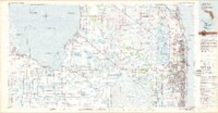
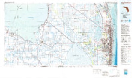
- 1945 USGS Greenacres City quadrangle1:24000, 4 printings
- 1950 USGS Greenacres City quadrangle1:24000
- 1956 USGS West Palm Beach quadrangle1:250000, 2 printings
- 1957 USGS West Palm Beach quadrangle1:250000
- 1958 USGS West Palm Beach quadrangle1:250000, 2 printings
- 1981 USGS West Palm Beach quadrangle1:100000
- 1985 USGS West Palm Beach quadrangle1:100000
- 1987 USGS West Palm Beach quadrangle1:250000, 2 printings




Fires near this place
47 since 1992Regional context, not property-specific evidence. The federal wildfire occurrence database lists 47 fires within 5 miles of Florida Gardens between 1992 and 2020, burning about 358 acres in total. 5 started naturally. 3 were recorded as arson. Distance is straight-line from the map coordinates, so a fire counted here may appear on a neighbouring settlement's page as well.
| Reported cause | Fires |
|---|---|
| Misuse of fire by a minor | 11 |
| Railroad operations and maintenance | 7 |
| Recreation and ceremony | 6 |
| Natural | 5 |
| Missing data/not specified/undetermined | 4 |
| Debris and open burning | 4 |
| Power generation/transmission/distribution | 3 |
| Arson/incendiarism | 3 |
| Equipment and vehicle use | 3 |
| Smoking | 1 |
The most recent of them, most recent first, with the day each was reported and the service that recorded it.
| Date | Cause | Size | Reported by | Name on the report |
|---|---|---|---|---|
| 7 August 2003 | Natural | under an acre | Florida Forest Service | THE CATCHMEN COMMAND |
| 6 July 2003 | Arson/incendiarism | 2.0 acres | Florida Forest Service | 110TH COMMAND FIRE |
| 5 July 2006 | Misuse of fire by a minor | under an acre | Florida Forest Service | PEARSON ROAD COMMAND |
| 25 July 1994 | Railroad operations and maintenance | 5.0 acres | Florida Forest Service | not named |
| 21 July 2004 | Debris and open burning | under an acre | Florida Forest Service | 836 |
| 13 June 2015 | Debris and open burning | 2.0 acres | Florida Forest Service | BALD CYPRESS |
| 6 May 2005 | Natural | under an acre | Florida Forest Service | FOREST HILL COMMAND |
| 26 May 2013 | Recreation and ceremony | 2.0 acres | Florida Forest Service | OKEEHEELEE THREE ( 50 ) |
Settlements close enough to share some of these fires:
Mines and quarries near this place
4 within 5 milesRegional context, not property-specific evidence. The federal mineral resources record lists 4 workings within 5 miles of Florida Gardens: 2 past producers, 2 producers. 2 still produce. What was taken out: Stone, Crushed/Broken, Sand. Distance is straight-line from the map coordinates, so a quarry counted here may appear on a neighbouring settlement's page as well.
| Where | Site | Commodity | Status | Recorded |
|---|---|---|---|---|
| Hardrives Co. - Knollbroke Pit | Sand | Producer | ||
| Bell Farms Shell Pit | Stone, Crushed/Broken | Producer | ||
| Golden Lakes Pit | Stone, Crushed/Broken | Past Producer | ||
| Lantan Rock Pit | Stone, Crushed/Broken | Past Producer |
Storms near this place
28 since 2007Regional context, not property-specific evidence. The National Weather Service names Florida Gardens in 28 storm reports between 2007 and 2025: 13 hail, 5 thunderstorm wind, 3 lightning, 3 flood. The reports record 1 injury. Each account below is quoted exactly as the forecast office filed it, from the NOAA Storm Events Database, and each date opens the federal record of that event.
| When | Event | Place named | Harm | What the report says |
|---|---|---|---|---|
| August 2010 | Lightning | Florida Gardens | 1 hurt | A teen was fishing at a lake near Lake Worth Road and the Turnpike in the Vista Pines Community when he was struck by lightning. A man witnessed the teen being struck and rushed to help. When arriving at the scene the teen was not breathing, bleeding out the nose, and burned, but he was revived and then rushed to Delray Medical Center where he was able to move his extremities and was later able to talk.||The boy was expected to recover from his injuries. |
| June 2024 | Thunderstorm Wind | Florida Gardens | $5,000 | There were several public reports of downed trees in Florida Gardens and Aberdeen due to the strong winds associated with passing thunderstorms. A thunderstorm wind gust of 54 mph/47 knots was measured at a sensor in Florida Gardens, with radar estimates of winds near 60 mph in the general area. |
| May 2023 | Thunderstorm Wind | Florida Gardens | $2,000 | A ham radio operator reported a large tree and power lines down on Lantana Road near Jog Road as a severe thunderstorm moved through the area. |
| April 2021 | Thunderstorm Wind | Florida Gardens | $1,000 | Large hardwood tree uprooted reported by social media. Large branches were also seen broken on hardwood trees along Florida's Turnpike west of Lake Worth. Time estimated from radar. |
| June 2013 | Lightning | Florida Gardens | $1,000 | A lightning strike caused a roof fire at a home in the 6000 block of Hudson Bay Lane in Lake Worth. Rescue crews arrived at the house and discovered a one-by-two foot hole in the roof of the home and quickly extinguished the fire. There were three people, four cats and one dog inside the home but there were no injuries. |
| July 2009 | Lightning | Florida Gardens | $1,000 | A home in Lake Worth was struck by lightning, and the strike blew out pieces of concrete from a corner of the house. No injuries were reported. Also multiple grass fires were started across the county. |
| May 2025 | Hail | Florida Gardens | - | A trained spotter near Lake Worth Road and Jog Road reported hail up to the size of quarter dollars during a severe thunderstorm. |
| May 2025 | Hail | Florida Gardens | - | A trained spotter reported hail ranging in size from peas to quarter dollars during a severe thunderstorm around W Boynton Beach Blvd and Lyons Rd. |
| May 2025 | Hail | Florida Gardens | - | A trained spotter reported hail to the size of quarter dollars piling up in her yard near Lake Worth Road between US 441 and Florida's Turnpike. |
| May 2025 | Hail | Florida Gardens | - | A member of the public reported ping pong ball size hail in western Lake Worth. |
| May 2024 | Hail | Florida Gardens | - | Reports from trained spotters and the public of hail of penny-sized (0.75-inch diameter) to quarter-sized (1.00 inch diameter) hail near Lantana Road and Jog Road after a strong thunderstorm moved through the area. |
| May 2024 | Hail | Florida Gardens | - | Picture from social media of 1-inch diameter (quarter-sized) hail near Lyons Road and Gulfstream Preserve as a severe thunderstorm moved through the area. Time estimated via radar. |
| April 2023 | Flood | Florida Gardens | - | A major road closed, with a stranded vehicle, due to flooding from heavy rain in Greenacres. Time estimated from heavy rainfall and media reports. |
| September 2023 | Flood | Florida Gardens | - | A trained spotter reported street flooding due to heavy rainfall in a portion of metro Palm Beach County that included Wellington, Florida Gardens, and Greenacres. Broadcast media shared a video of significant street flooding in Tropical Country Estates near Lyons Road, with water getting into the front yards of homes. A total of 6-8 inches of rain fell in this area, with most of the rain falling in about 2 hours. No structures were reported to be impacted. |
| October 2020 | Flood | Florida Gardens | - | Standing water from days of heavy rainfall affected fields and farms in unincorporated westernmost areas of Boynton Beach west of State Road 7 and bordering on the Loxahatchee National Wildlife Refuge. Horses were up to their knees in standing water for a few days and required removal from the affected properties. |
| June 2020 | Flash Flood | Florida Gardens | - | Public reported significant flooding of roads and areas around lakes and streets in and around West Lake Worth and Boynton beach areas. One report was of water about 3.5 feet deep on a street in the Lake Charleston neighborhood. A nearby rain gauge recorded 5.38 inches of rain, most of it falling in just over an hour. |
| July 2015 | Hail | Florida Gardens | - | Penny sized hail was reported one mile south of Greenacres. Received via social media. |
| August 2015 | Funnel Cloud | Florida Gardens | - | Photos of funnel cloud received via social media. |
| July 2014 | Funnel Cloud | Florida Gardens | - | Palm Beach County relayed Sheriff's report of a funnel cloud northwest of State Road 7 and West Boynton Beach Blvd. The funnel did not reach the surface with movement to the north. |
| June 2014 | Hail | Florida Gardens | - | A trained spotter reported penny size hail 3 miles northwest of Florida Gardens. |
| March 2014 | Thunderstorm Wind | Florida Gardens | - | An amateur radio operator reported branches and signs down at the intersection of Jog Road and Hypoluxo Road. |
| May 2013 | Flash Flood | Florida Gardens | - | Heavy rains and flooding affected portions of western Boynton Beach and Aberdeen. Rainfall totals were estimated in the 4 to 9 inch range, with measured amounts nearby of up to 8 inches in less than 12 hours. Impacts were primarily to closed streets, fields and parking lots. Park Vista High School was in lock-down mode during the midday hour due to the extent and magnitude of the flooding surrounding the school. |
| April 2011 | Thunderstorm Wind | Florida Gardens | - | A tractor trailer overturned along the Florida Turnpike near the Boynton Beach Blvd exit. Power lines were also reported downed at the intersection of Hagen Ranch Road and Flavor Pict Road. |
| February 2010 | Hail | Florida Gardens | - | Reported by CoCoRaHS observer in Greenacres City. |
| February 2010 | Hail | Florida Gardens | - | Hail size varied from pea to nickel size. |
| June 2009 | Hail | Florida Gardens | - | Trained spotter reported quarter size hail covering his yard in the Greenacres area. |
| July 2009 | Hail | Florida Gardens | - | A spotter reported nickel sized hail along the Florida Turnpike and Lake Worth Road. |
| April 2007 | Hail | Florida Gardens | - | Penny to quarter size hail near Lantana Road and State Road 7. |
Nearest settlements
The eight closest, with where each one stands in the county. Distances are straight-line, computed from the Geographic Names Information System coordinates.
| Map | Place | Distance | Sheets |
|---|---|---|---|
| Poincianna Place | 1.0 miles | 14 | |
| Hometown Lake Worth Village | 2.3 miles | 14 | |
| Greenacres City | 2.6 miles | 14 | |
| Atlantis | 3.9 miles | 14 | |
| Seminole Manor | 4.1 miles | 14 | |
| Aberdeen | 4.2 miles | 14 | |
| Palm Beach Farms | 4.3 miles | 14 | |
| Palm Springs | 4.3 miles | 16 |
Elsewhere
Matched on this settlement's Geographic Names Information System number rather than its name, so it cannot be a different place of the same name in another state.
| Wikidata item Q122545627 | The structured record the population and elevation above come from. Public domain (CC0). |
Provenance
This settlement is recorded in the Geographic Names Information System as feature 302690. The sheet list is computed by point-in-boundary test against the United States Geological Survey's historical topographic inventory. Both are works of the United States government and carry no copyright under 17 U.S.C. 105.
Wildfire. Short, Karen C. 2022. Spatial wildfire occurrence data for the United States, 1992-2020 [FPA_FOD_20221014]. 6th Edition. Fort Collins, CO: Forest Service Research Data Archive. https://doi.org/10.2737/RDS-2013-0009.6 Collected with United States Government funding and usable without additional permissions or fees.
Mines and quarries. USGS Mineral Resources Data System (MRDS) https://mrdata.usgs.gov/mrds/ A work of the United States government, no copyright under 17 U.S.C. 105.
Storms. NOAA National Centers for Environmental Information, Storm Events Database https://www.ncei.noaa.gov/stormevents/ A work of the United States government, no copyright under 17 U.S.C. 105. Narratives are quoted verbatim from the National Weather Service report and are not edited or summarised.