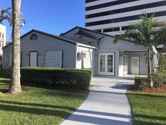
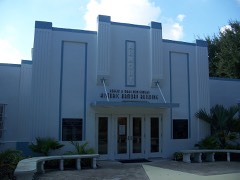
Block
BlockFrom the record
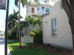
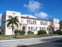
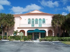
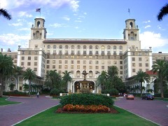
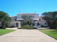
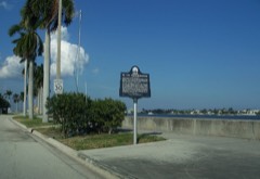
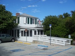
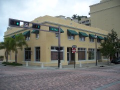
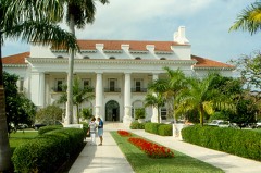
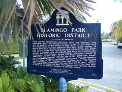
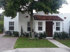
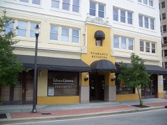
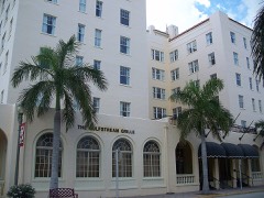
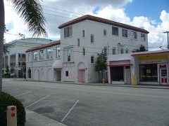
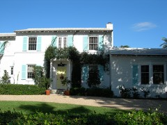
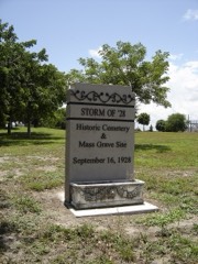
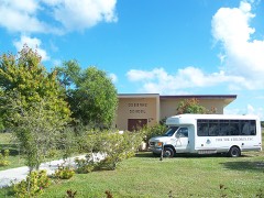
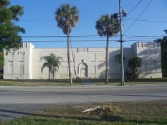
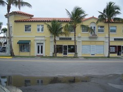
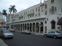
74 National Register listings published here, 2 of them National Historic Landmarks.
Sources: the National Register database, National Park Service
109 topographic sheets cover 134 settlements here, and 74 properties are on the National Register of Historic Places.
74 National Register listings published here, 2 of them National Historic Landmarks.
Sources: the National Register database, National Park Service
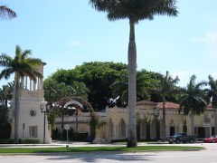
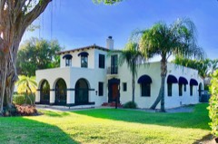
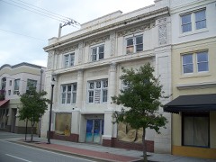
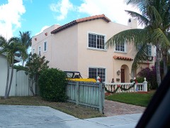
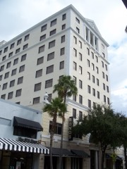
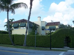
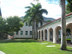
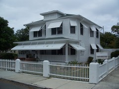
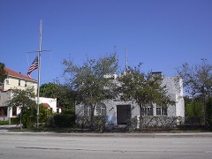
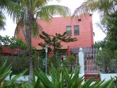
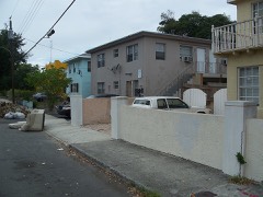
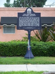
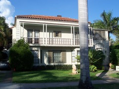
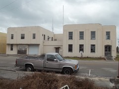
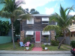
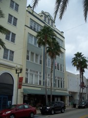
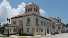
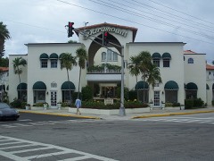
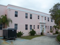
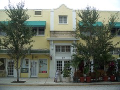
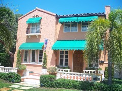
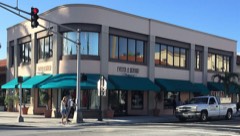
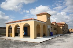
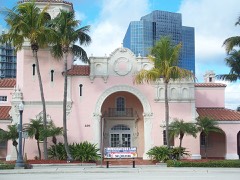
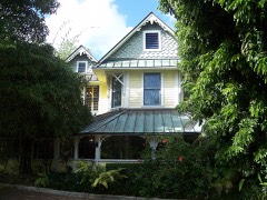
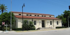
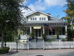
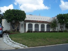
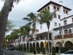
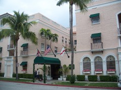
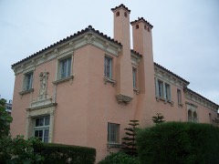
Every property in this county listed on the National Register of Historic Places, with the year it was listed and the federal nomination document.
Drawn when these were printed as single large sheets: the town seen from the air, and the county divided into its farms with every owner named. Each opens the original at the Library of Congress.
![Bird's-eye view, 1915 - [Panoramic view of West Palm Beach, North Palm Beach and Lake Worth]](assets/locview_2003627032.jpg)
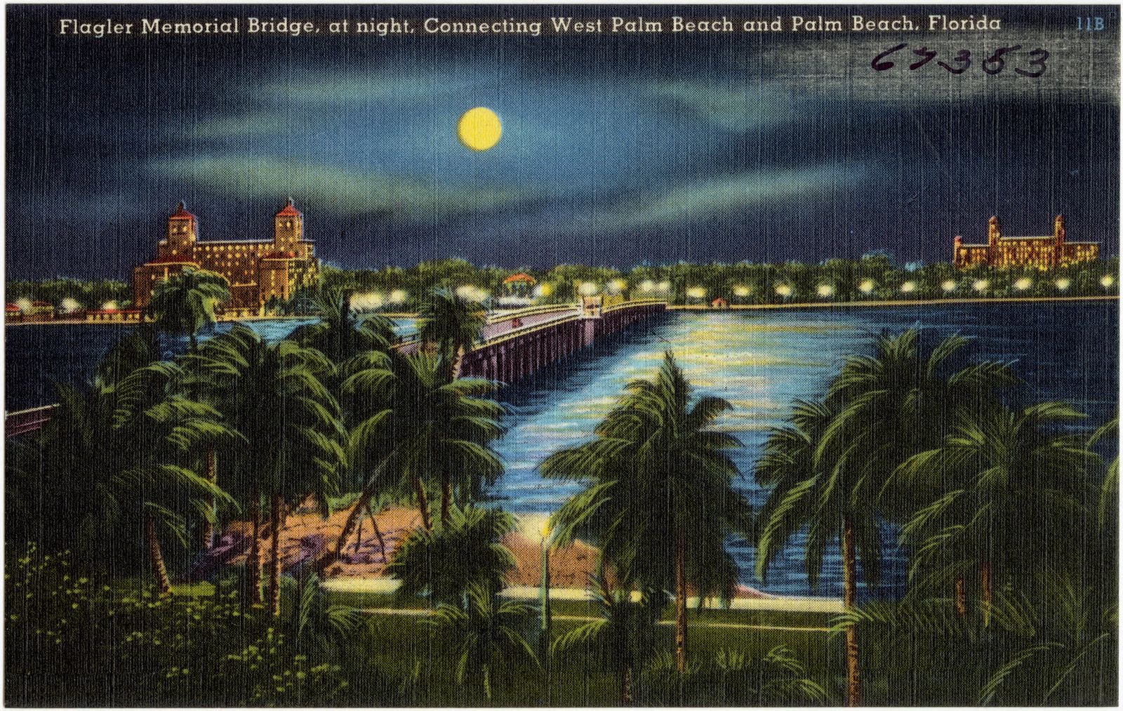
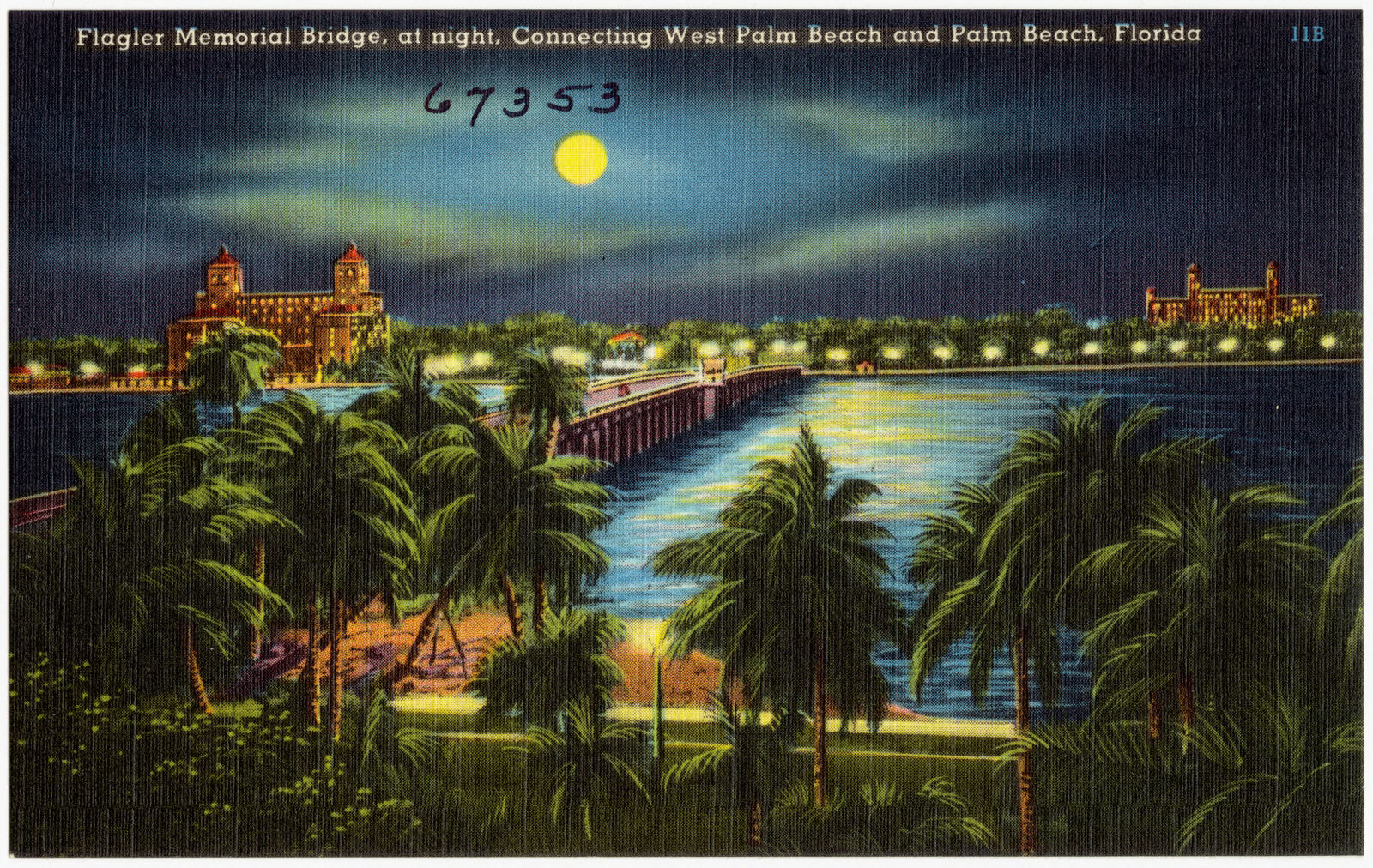
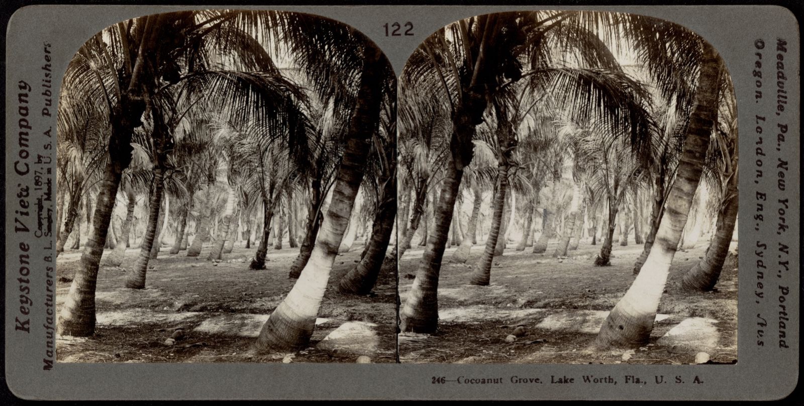
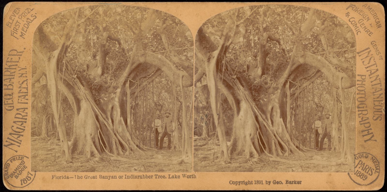
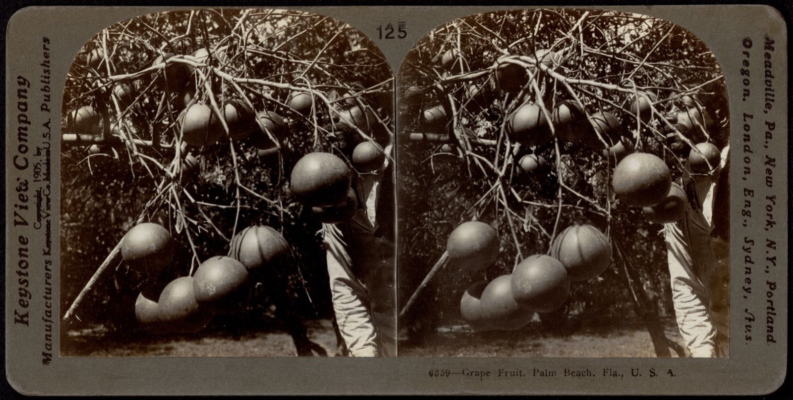
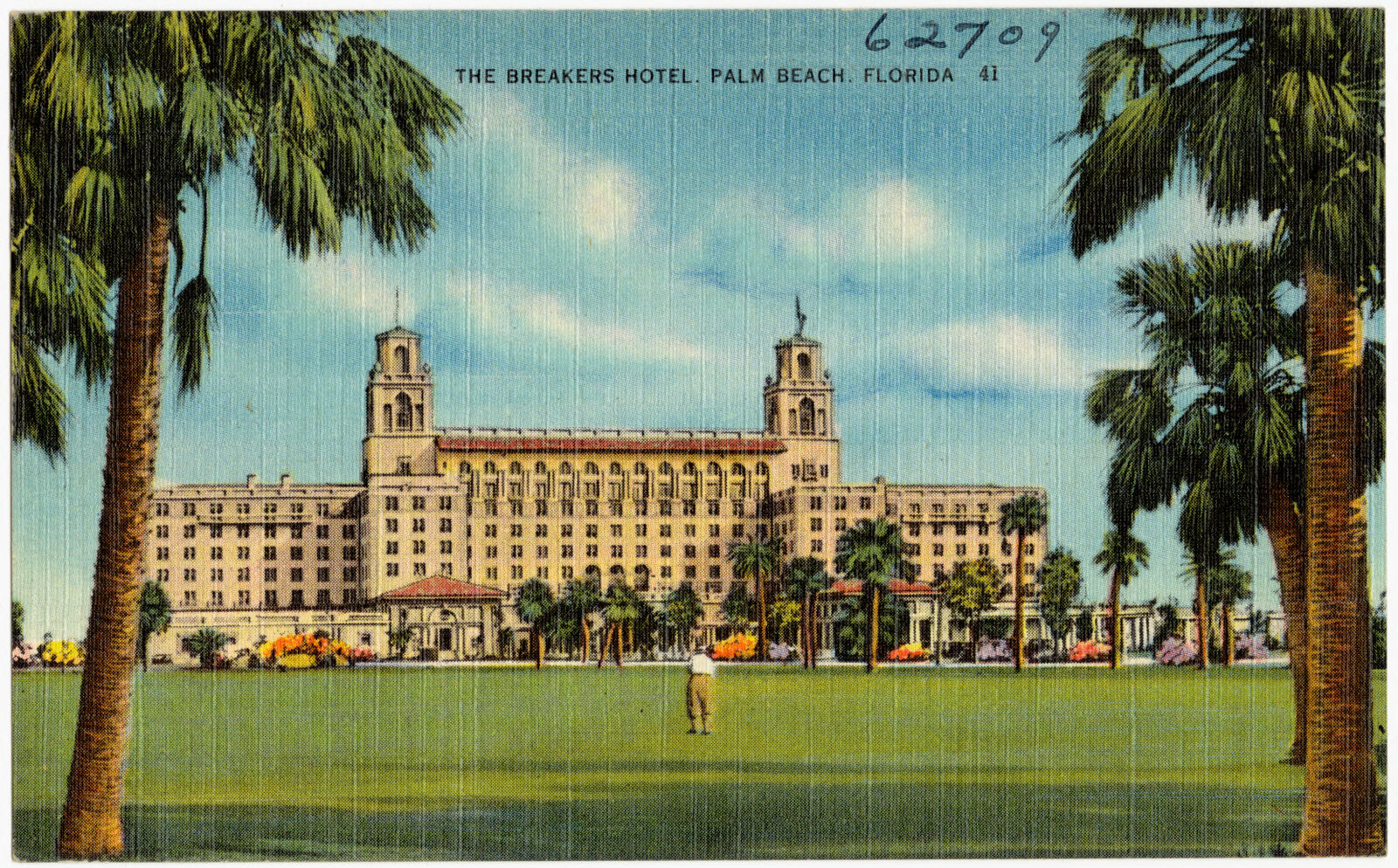
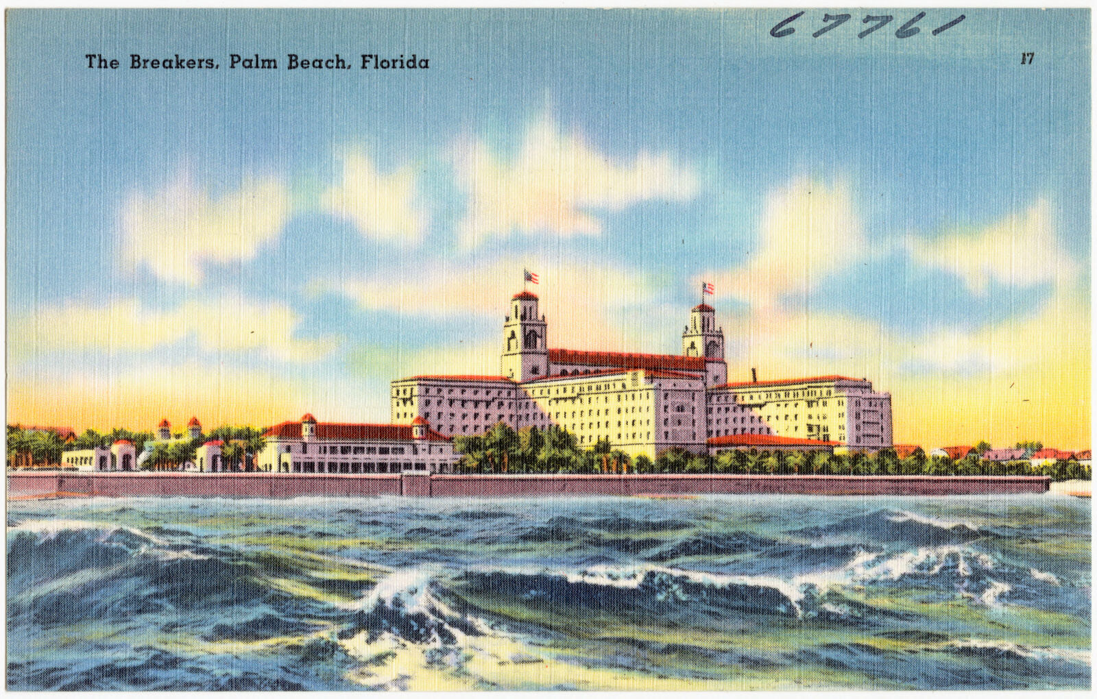
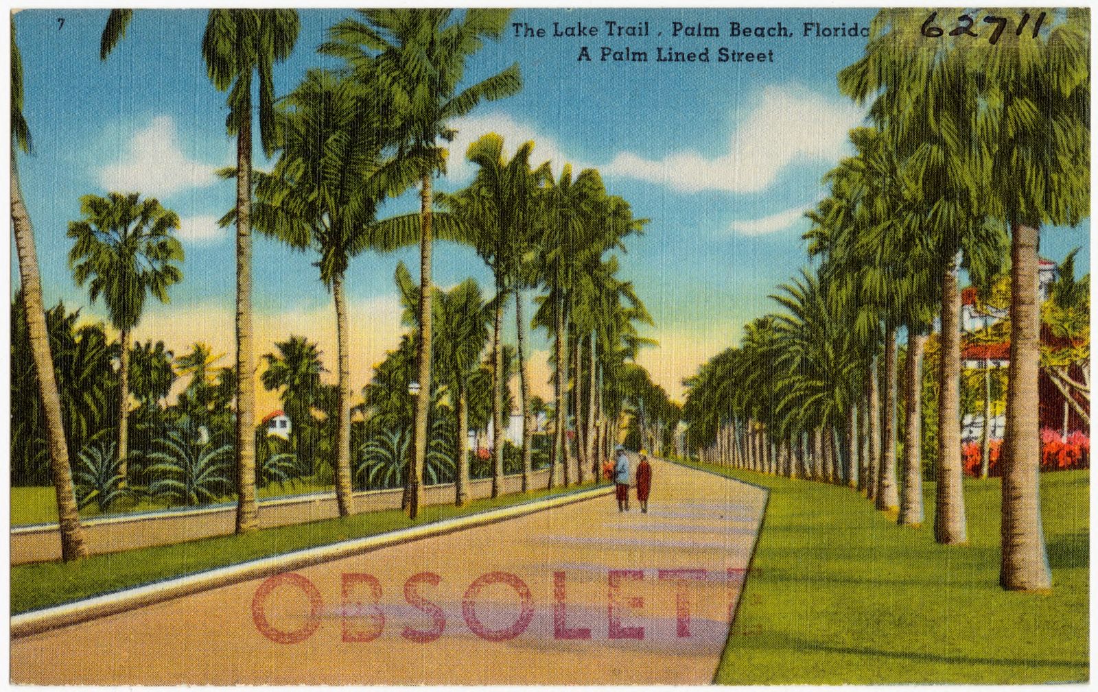
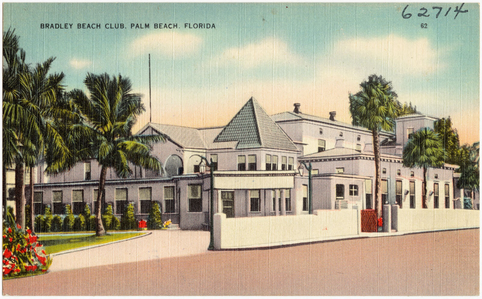
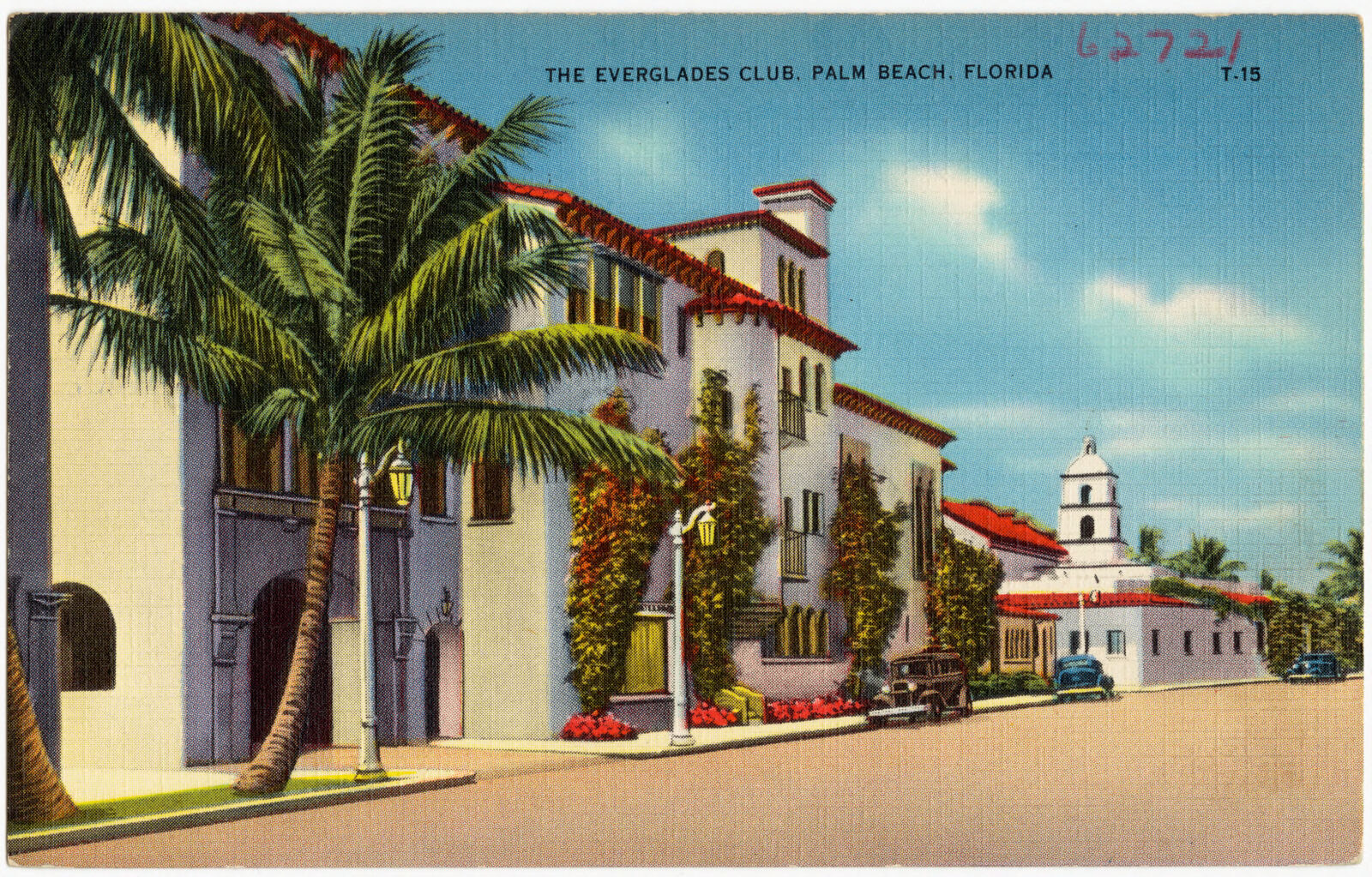
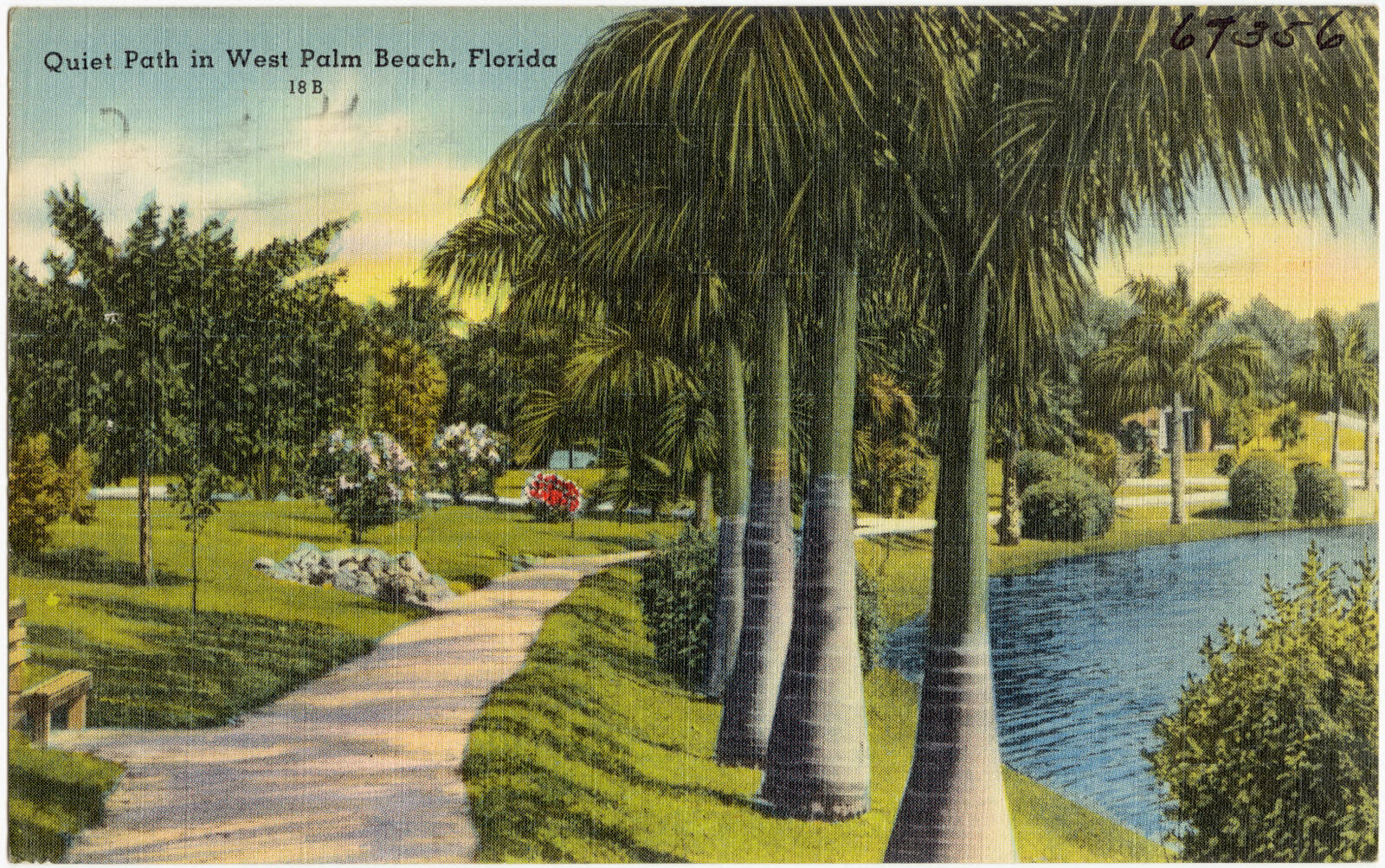
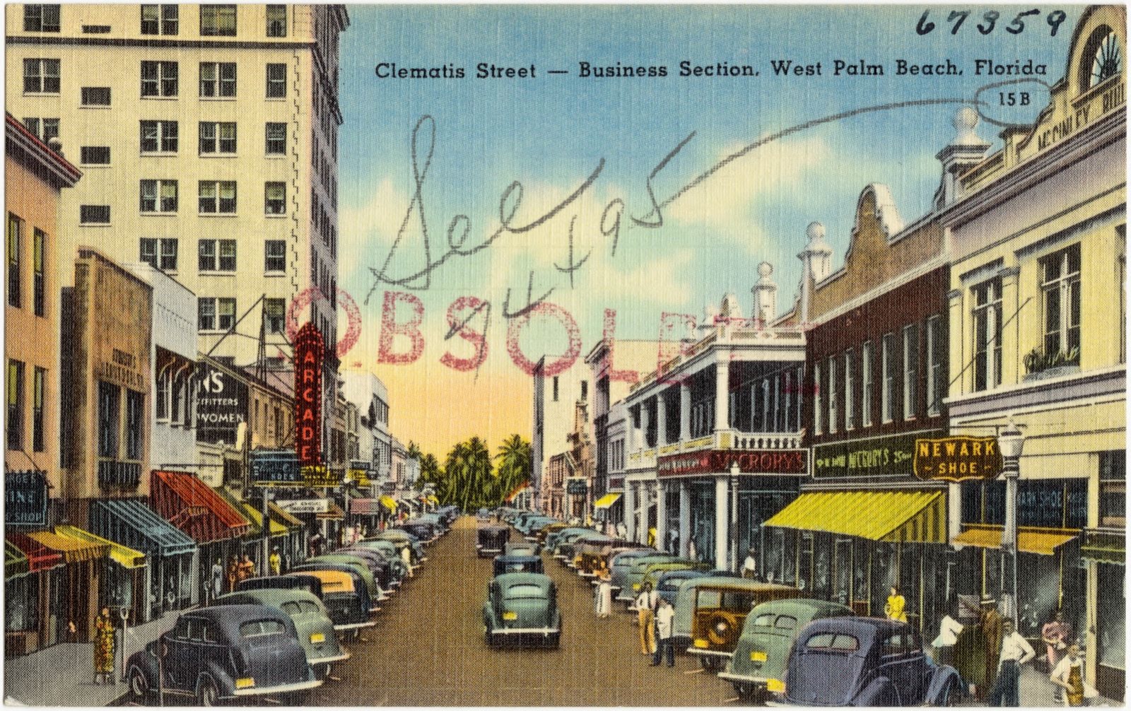
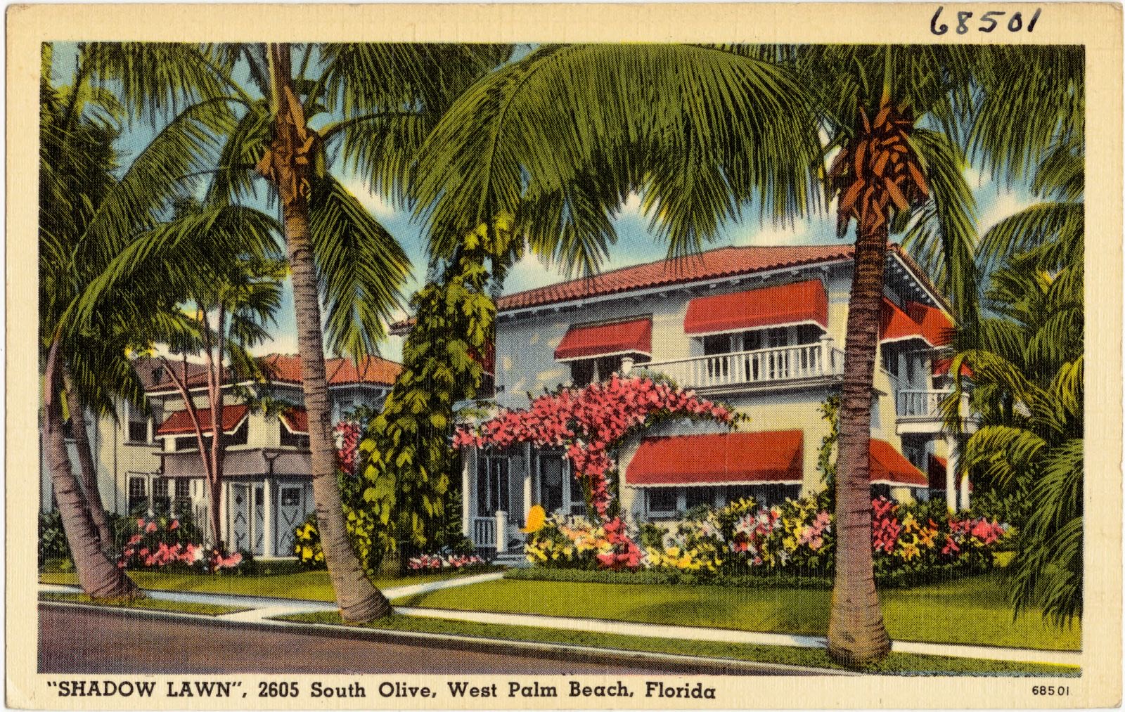
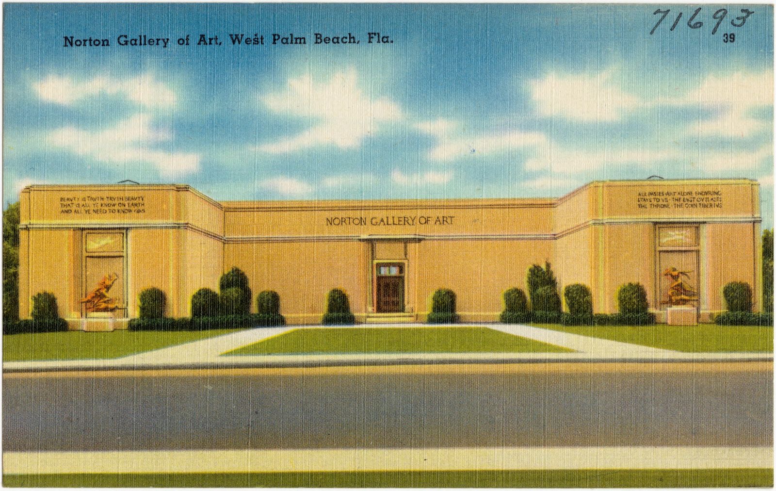
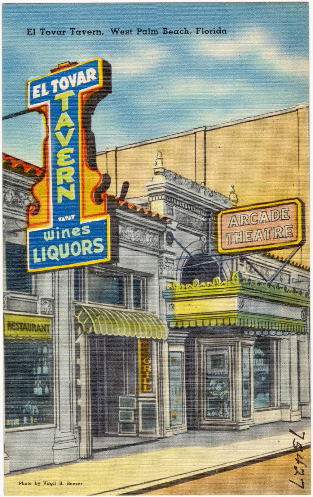
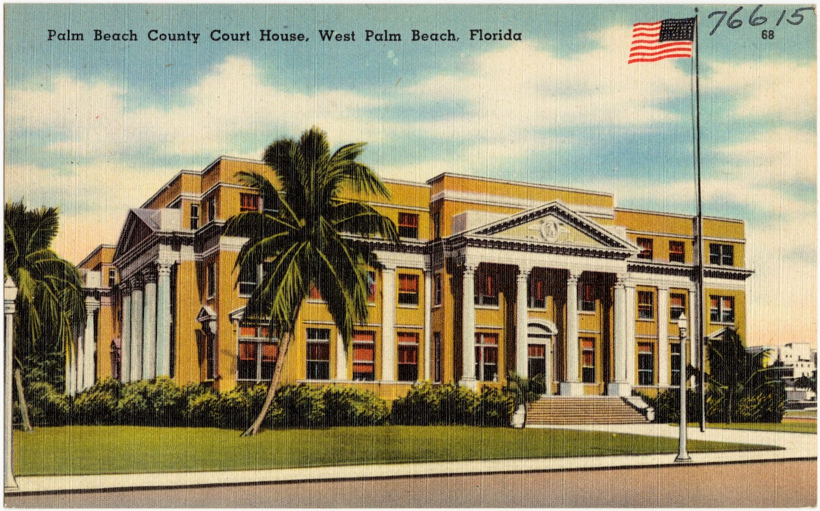
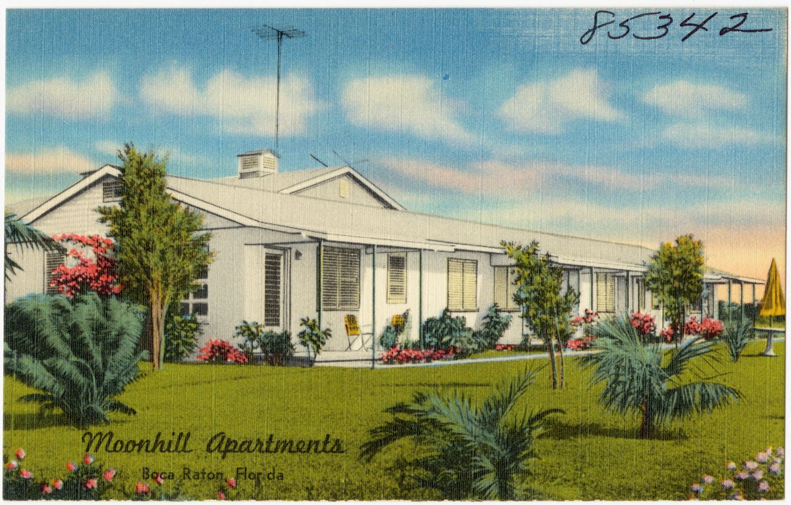
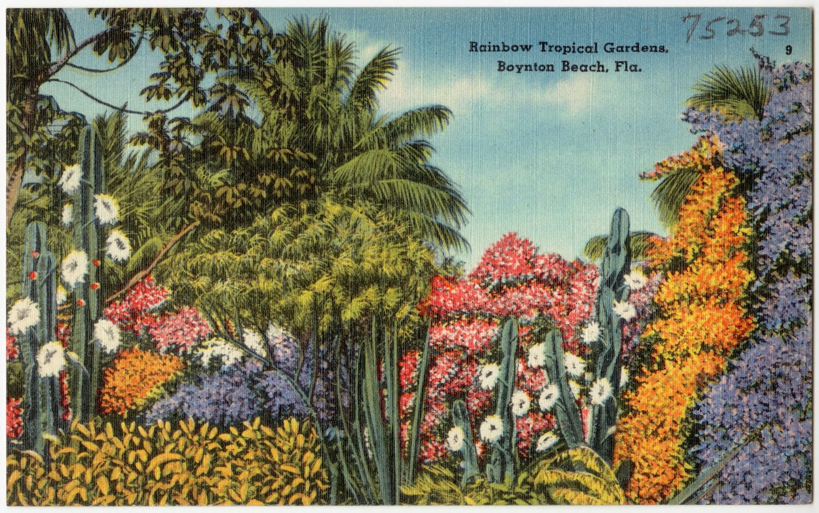
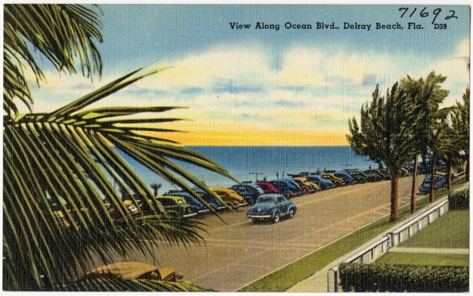
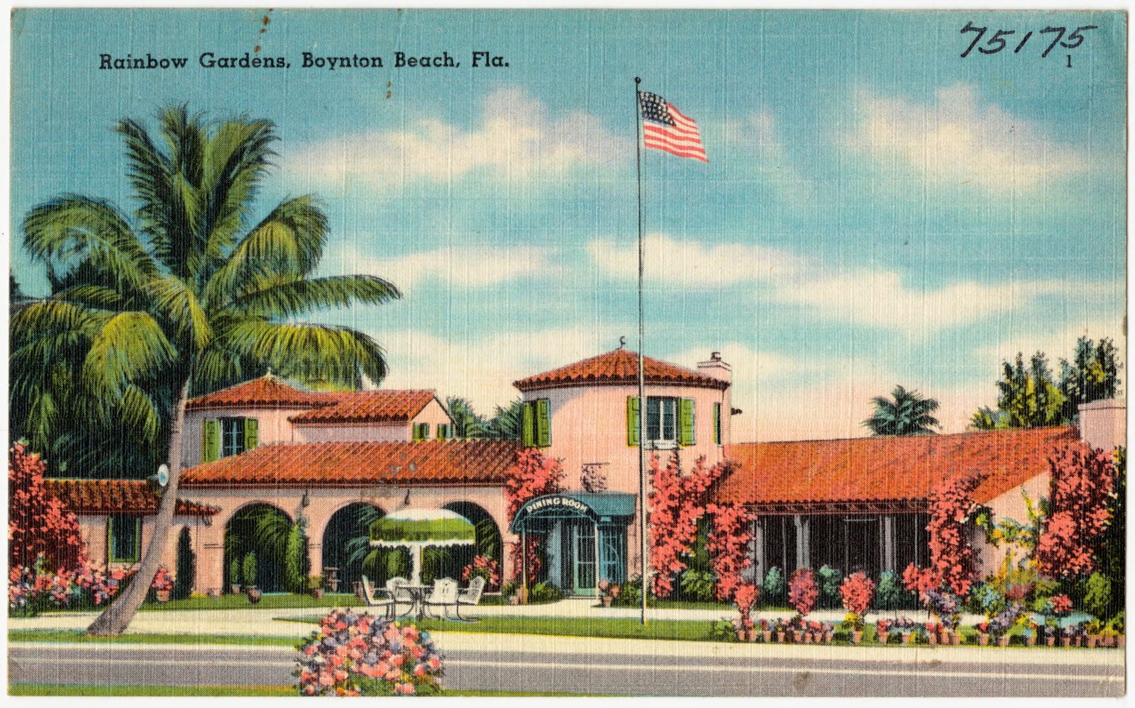
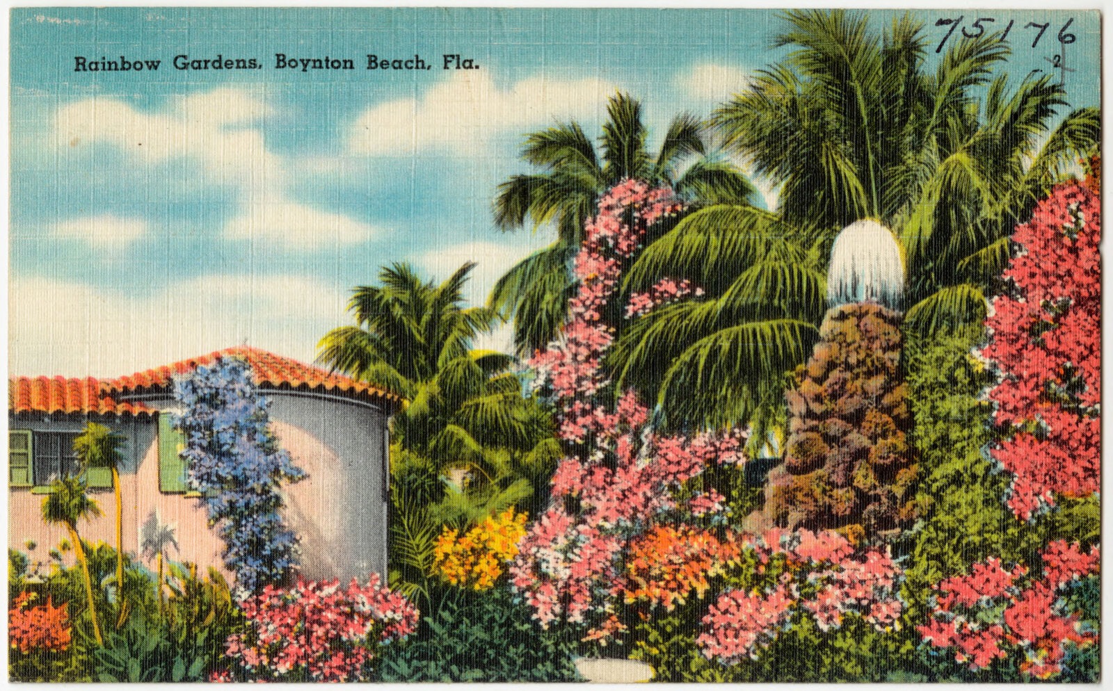
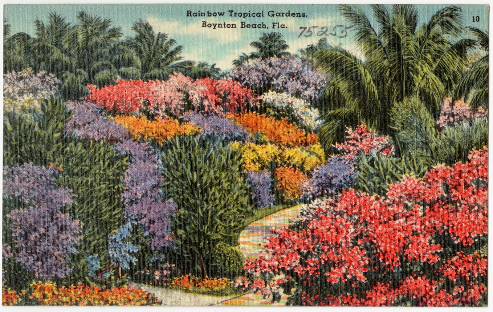
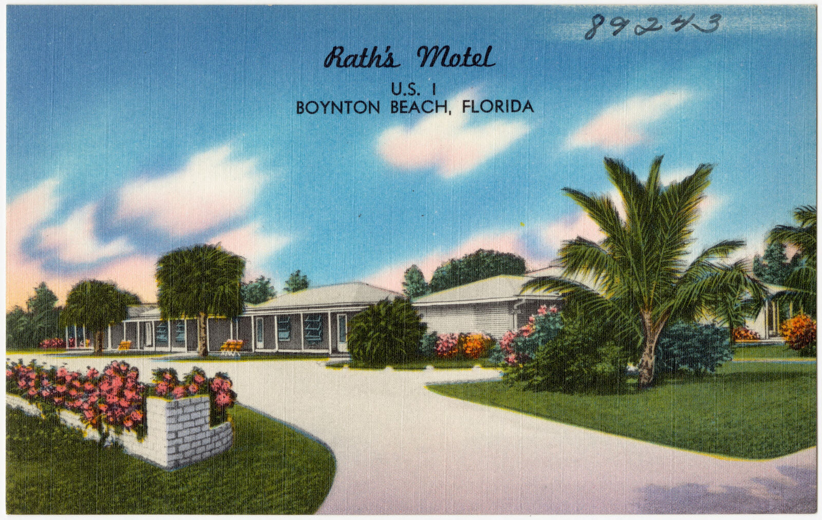
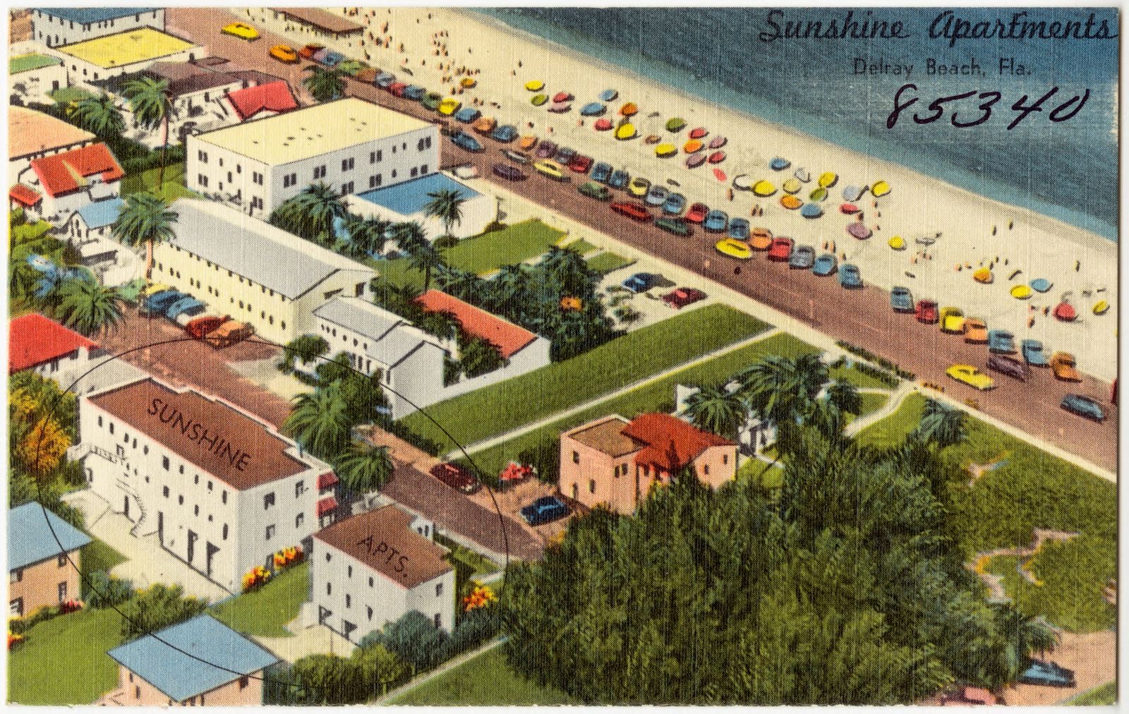
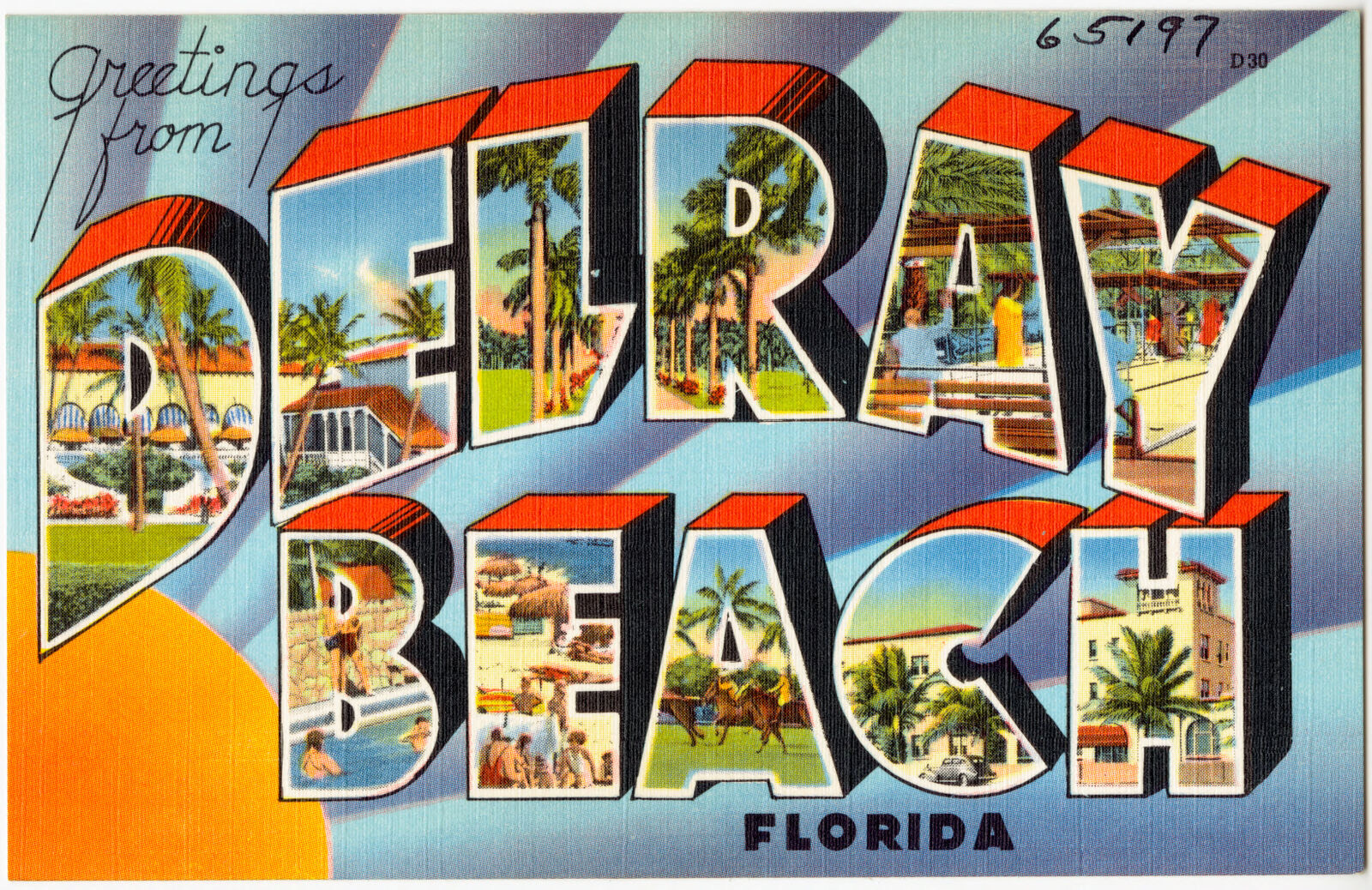
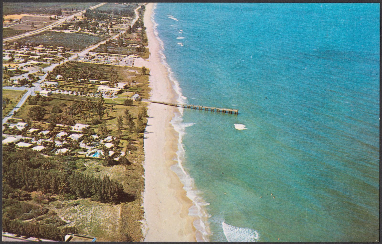
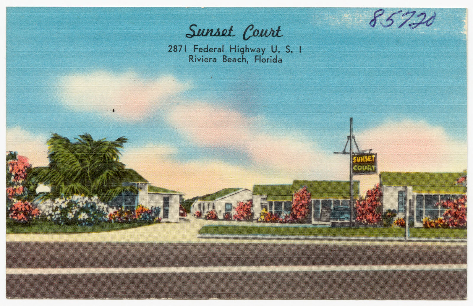
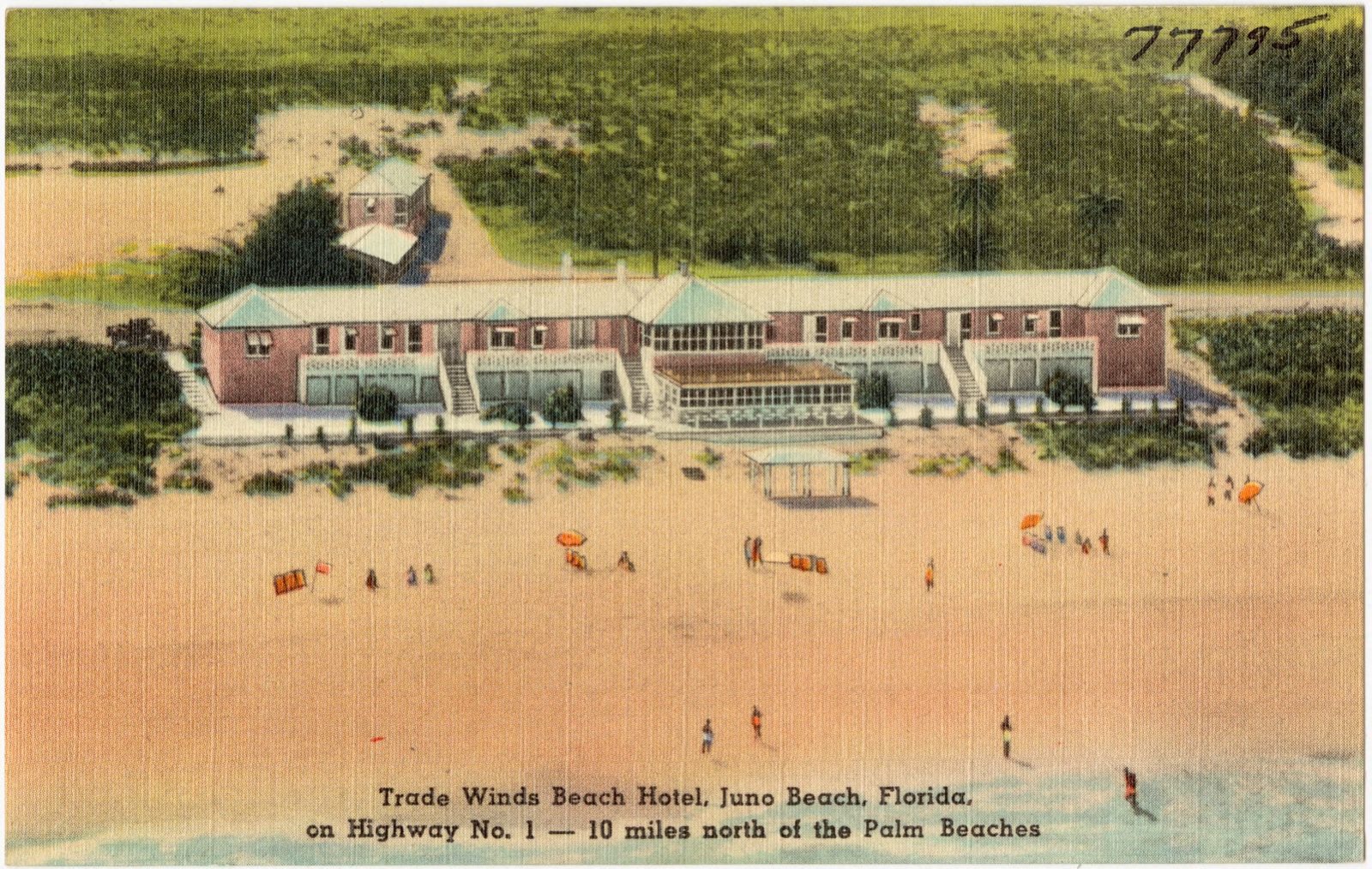
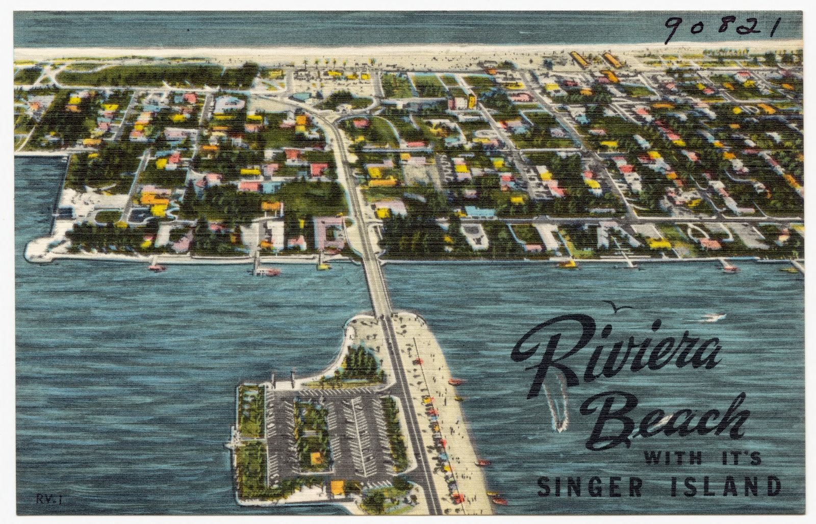
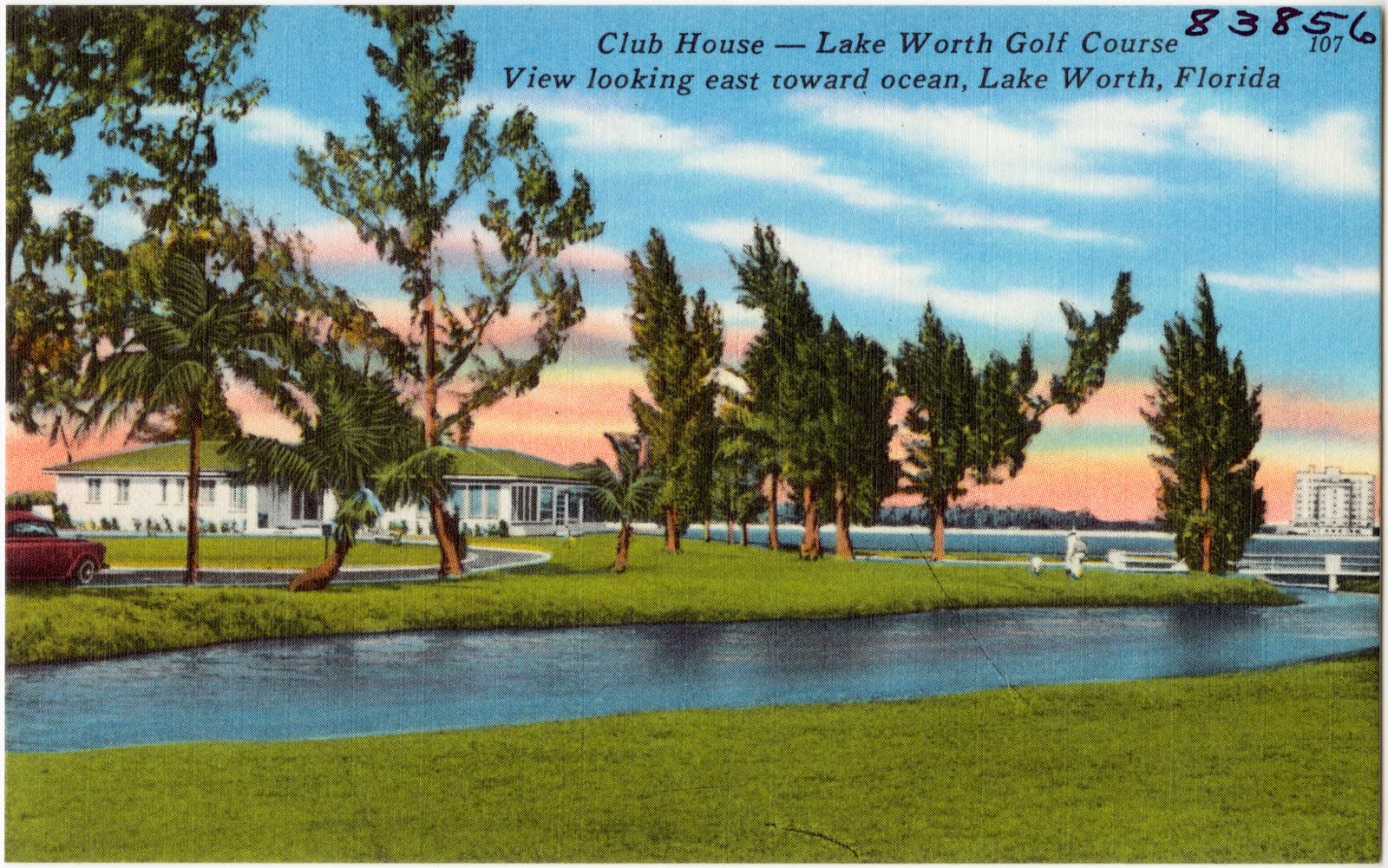
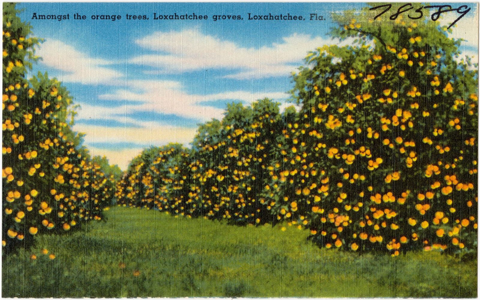
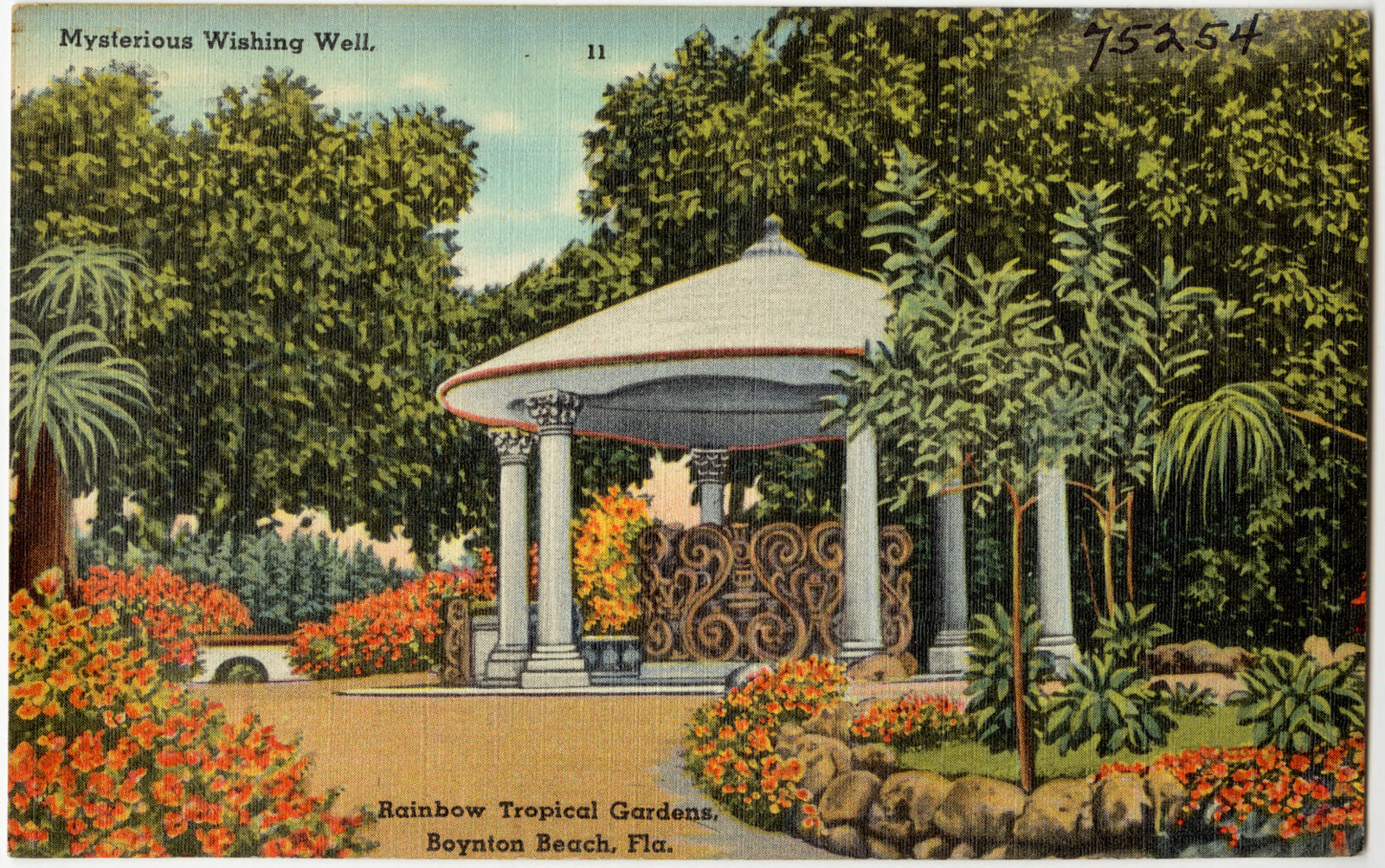
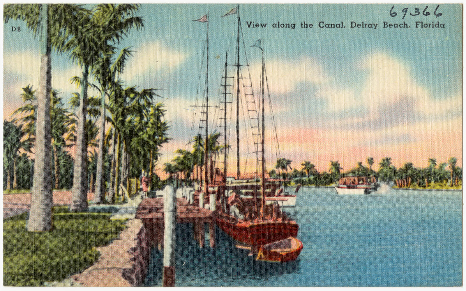
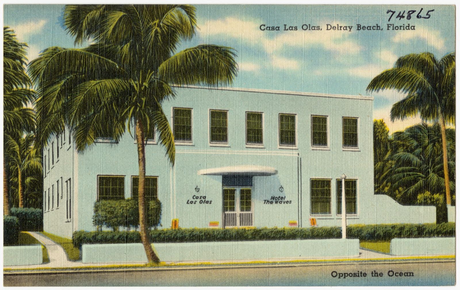
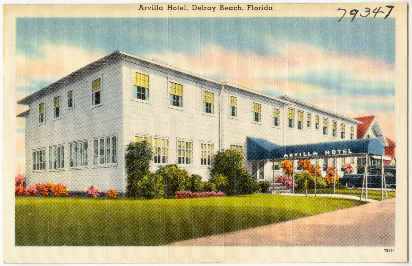
Selected from the Digital Public Library of America's 271 image records catalogued for this county. Every one shown here carries a public-domain status or a licence that permits reuse on a site that carries advertising; non-commercial, share-alike and restricted images are excluded. The selection is spread across the county's towns (at most eight per town), so no single institution's bulk upload crowds out the rest. Each opens the holding library's record, and the complete set at the Digital Public Library of America is one click away.
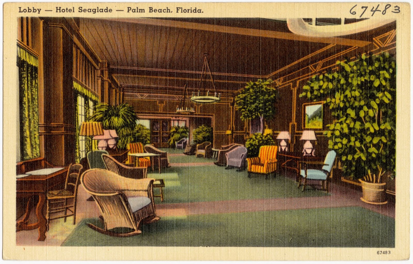
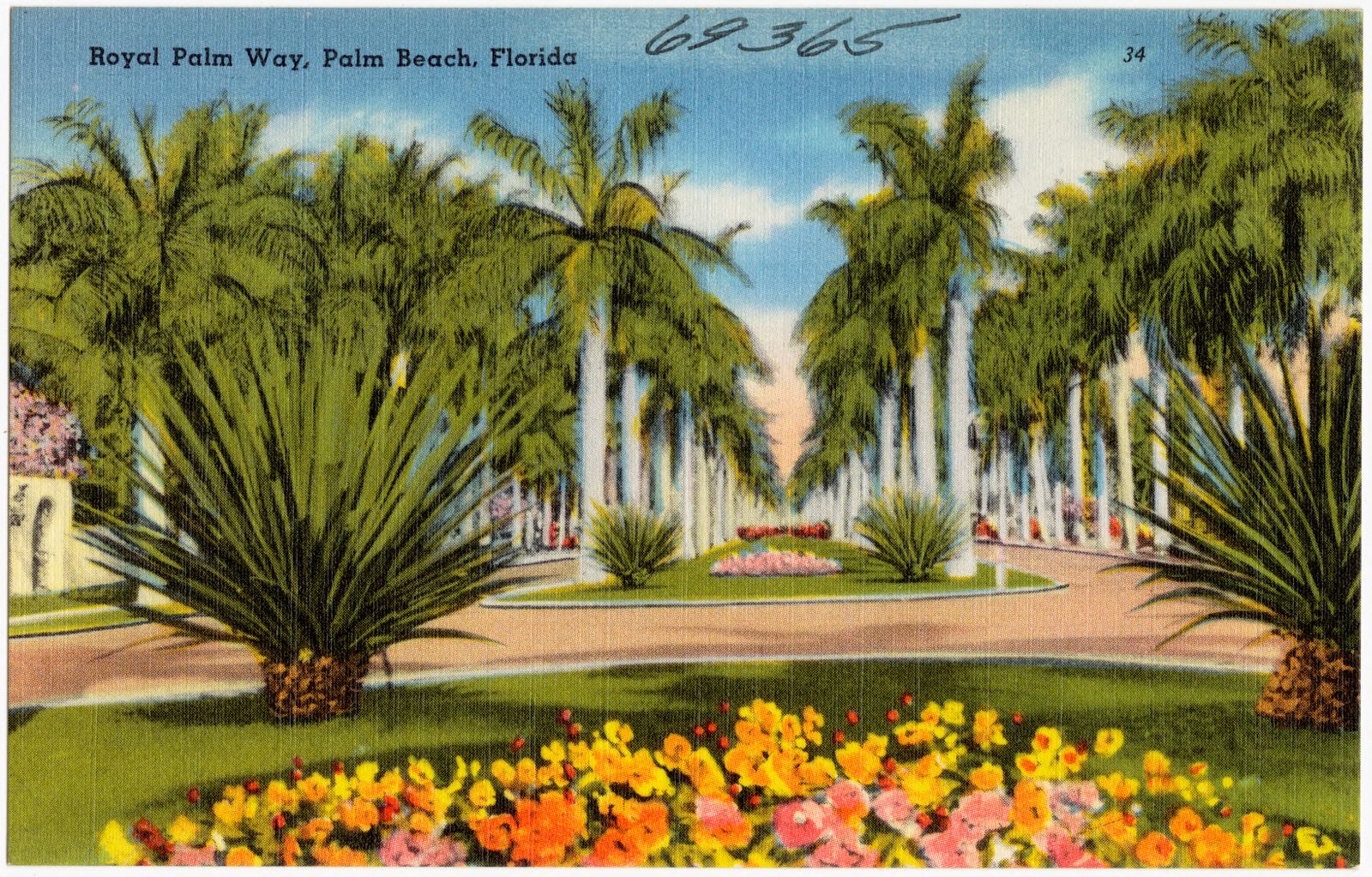
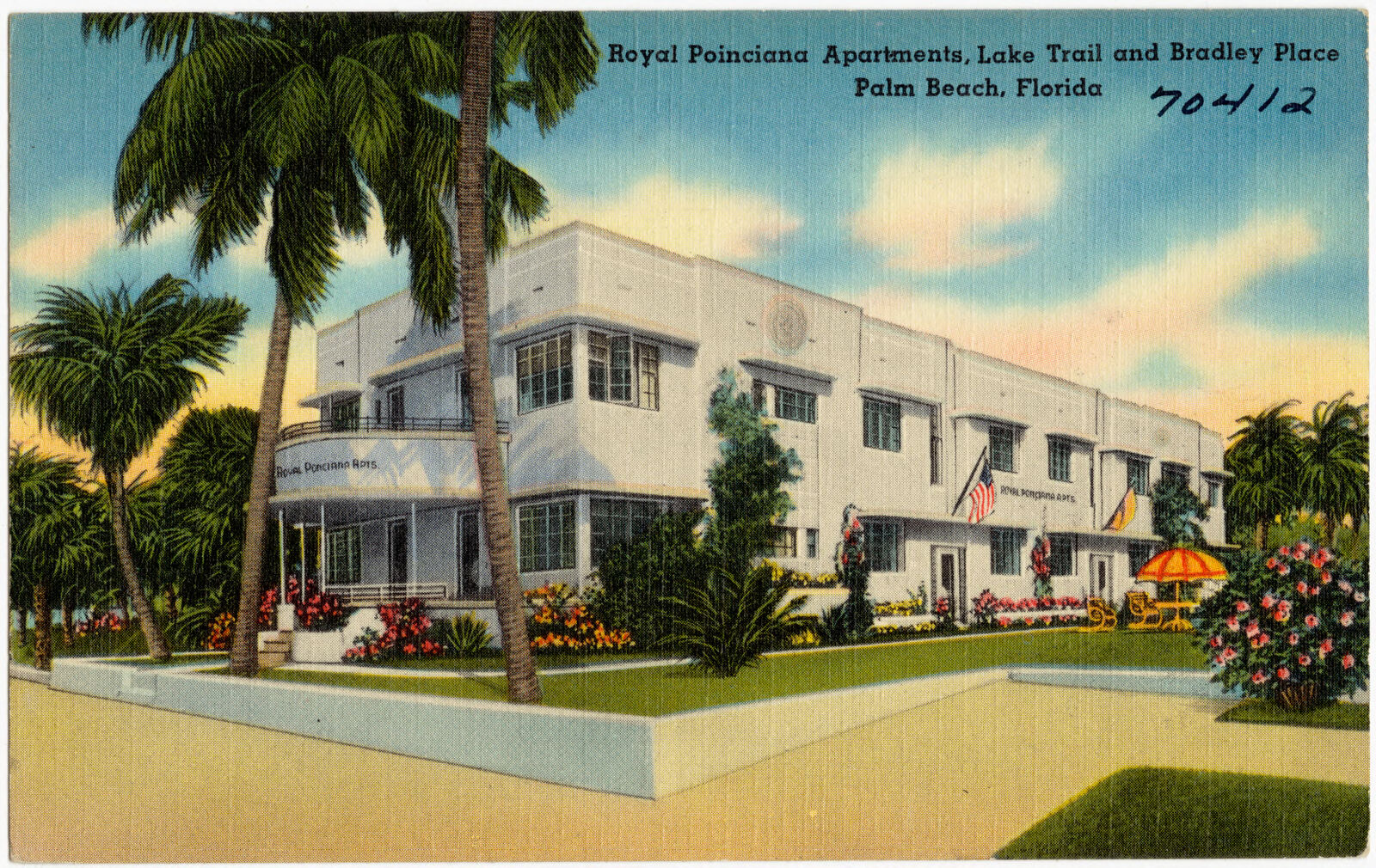
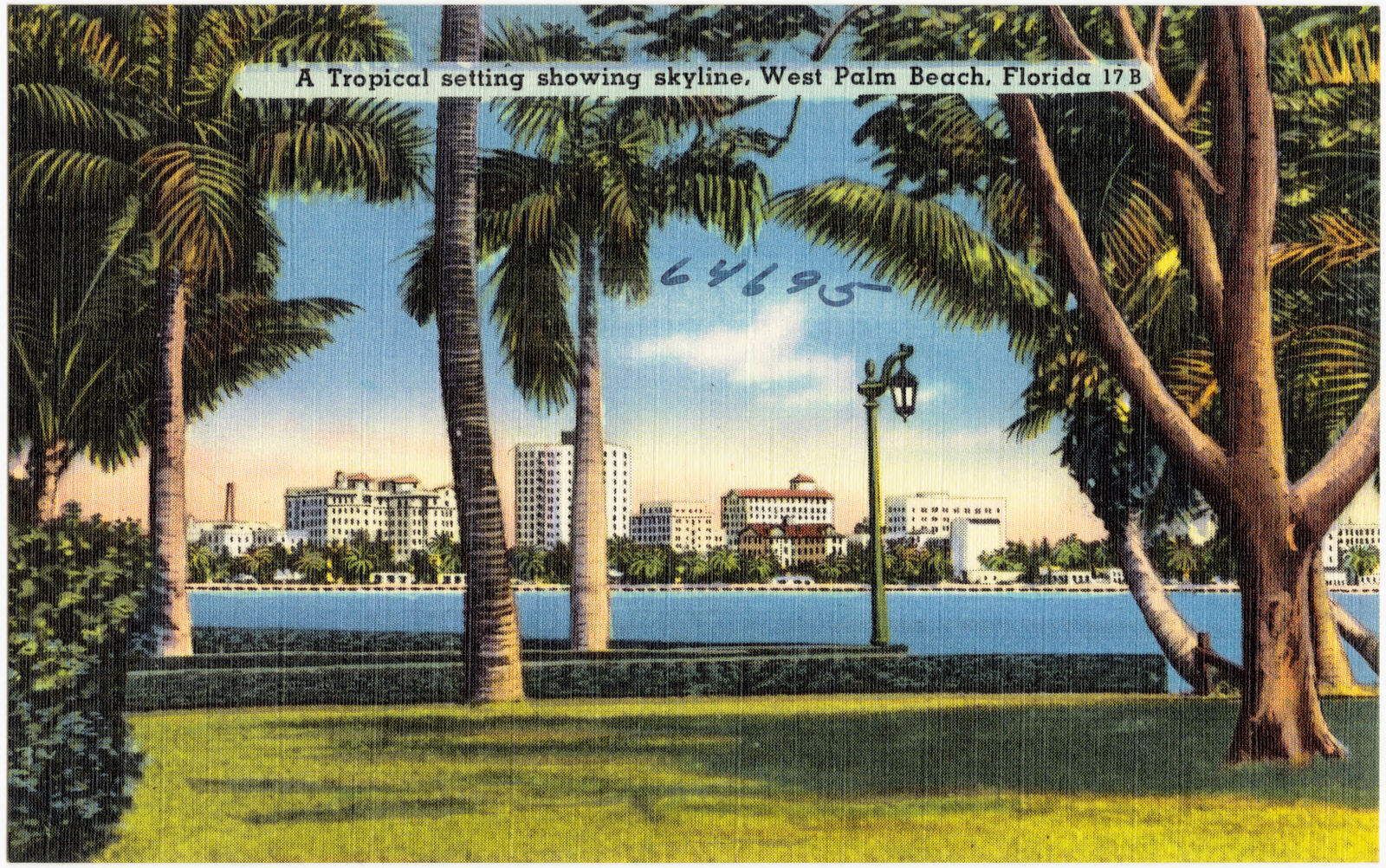

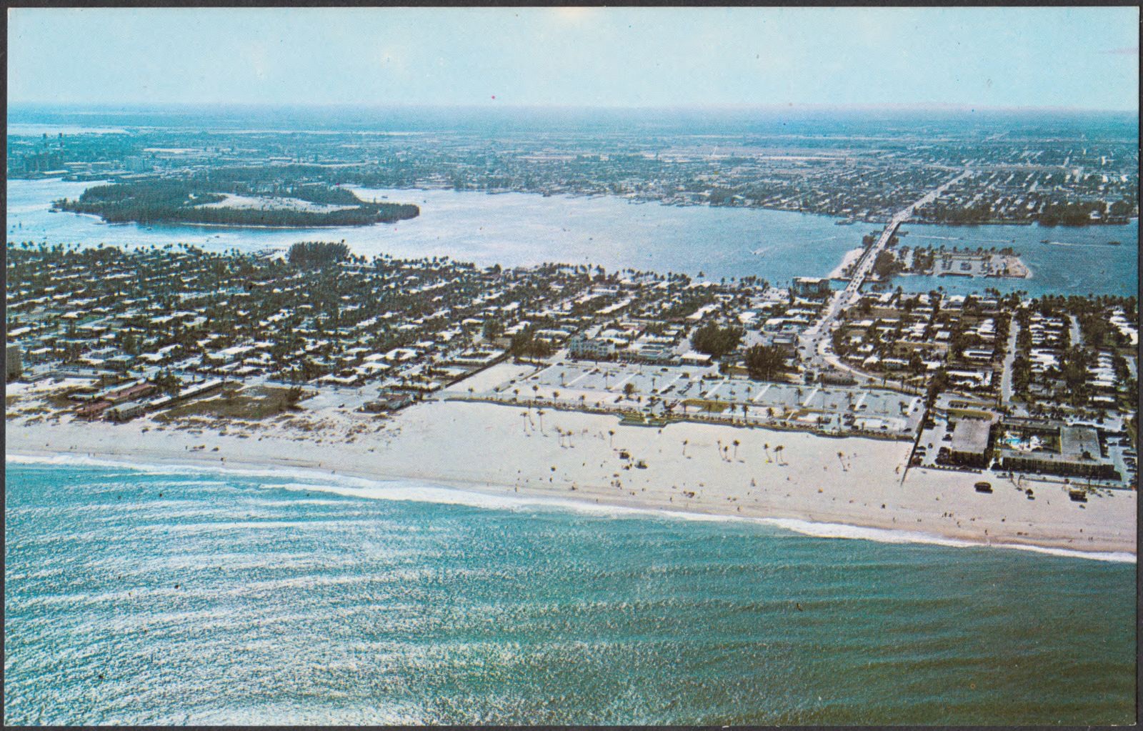
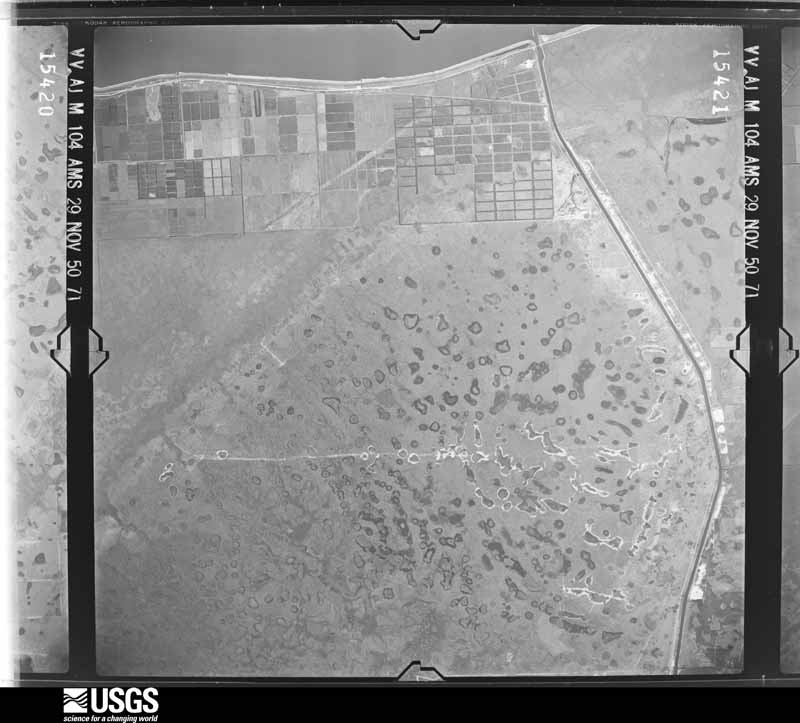
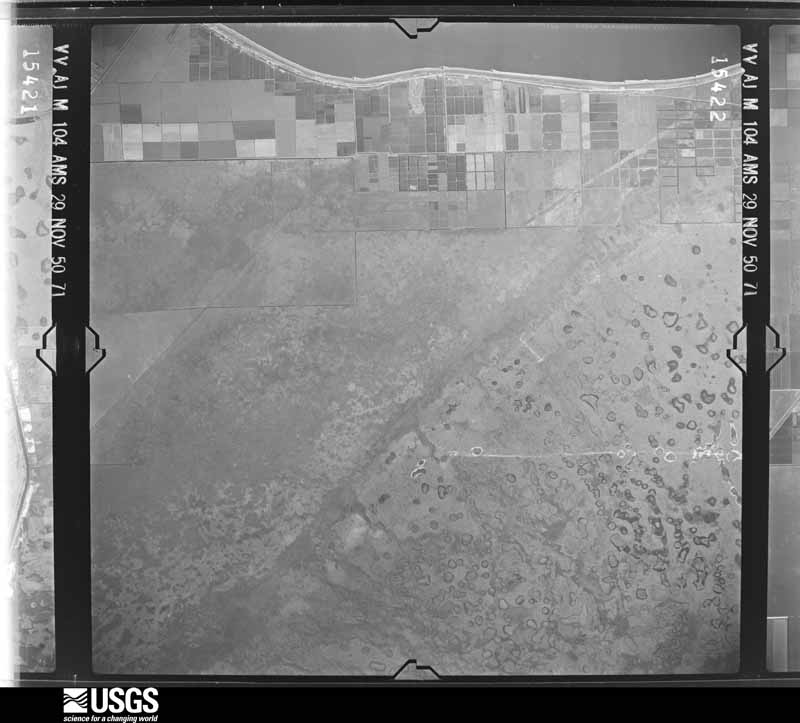
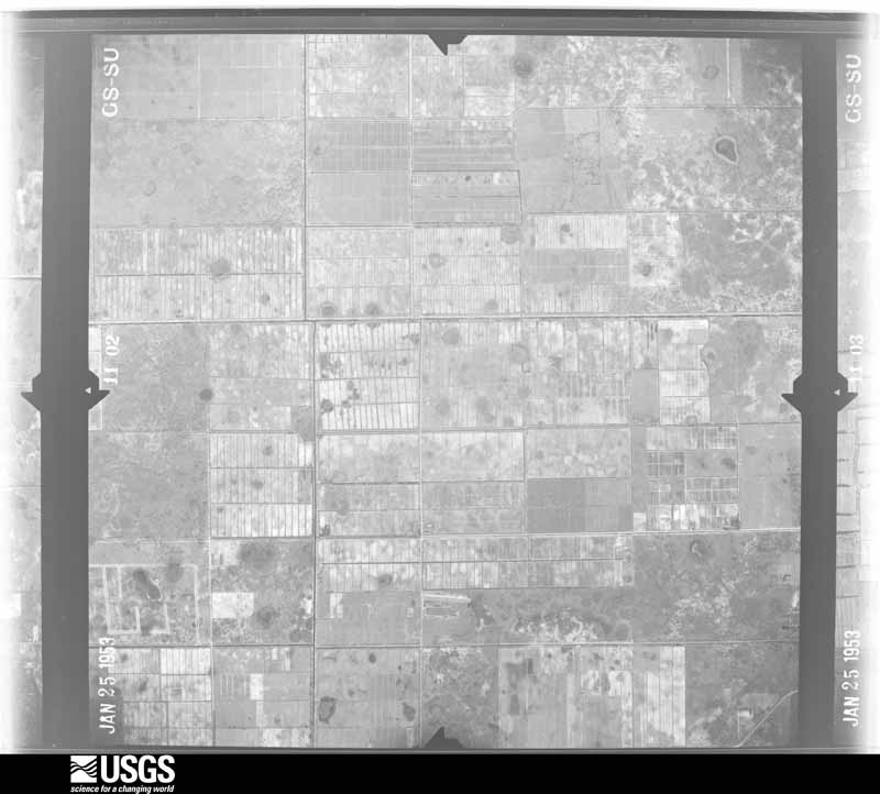
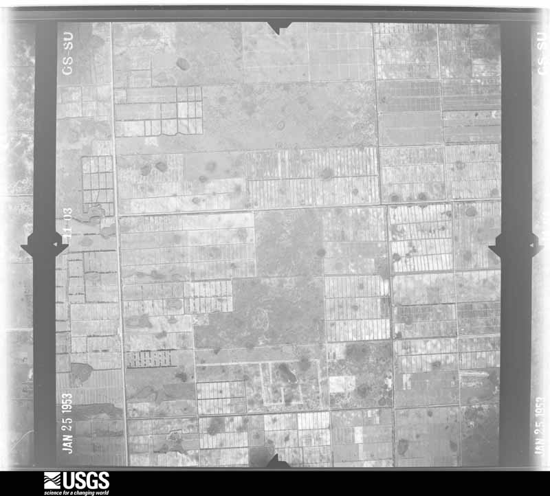
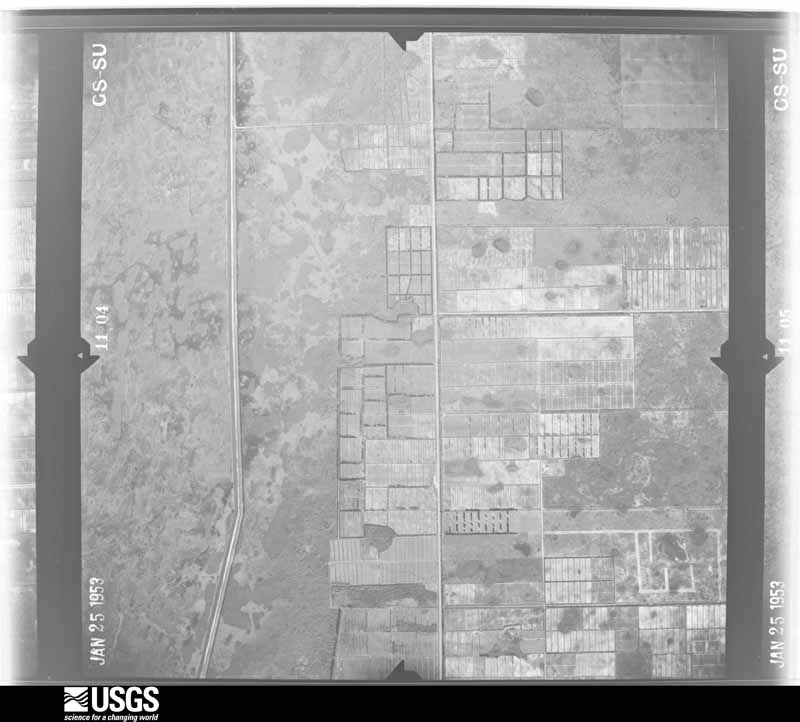
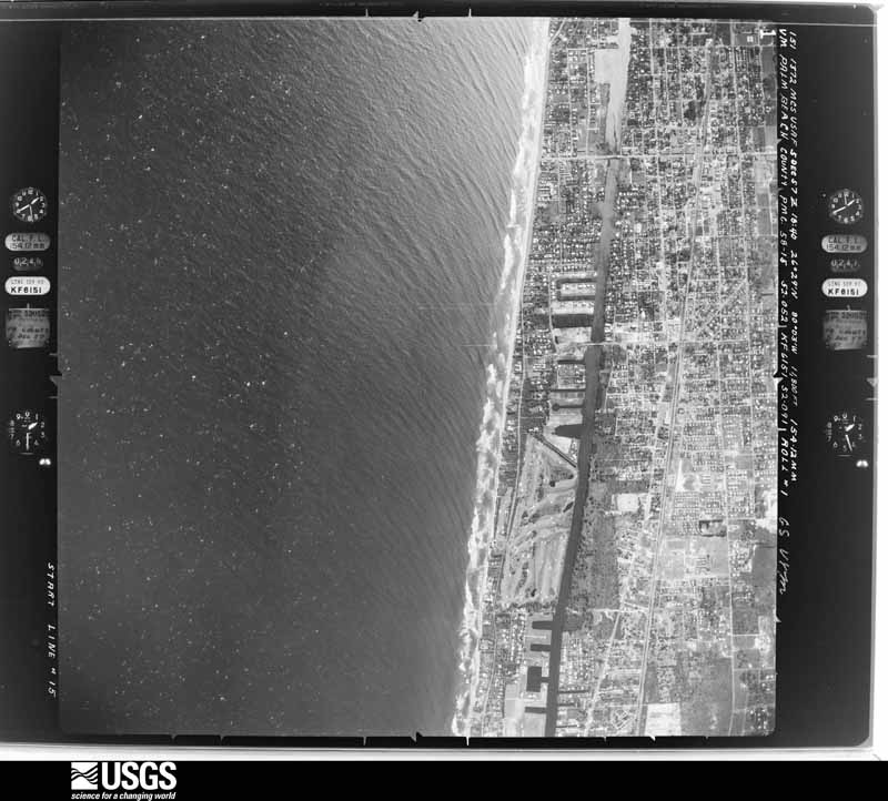
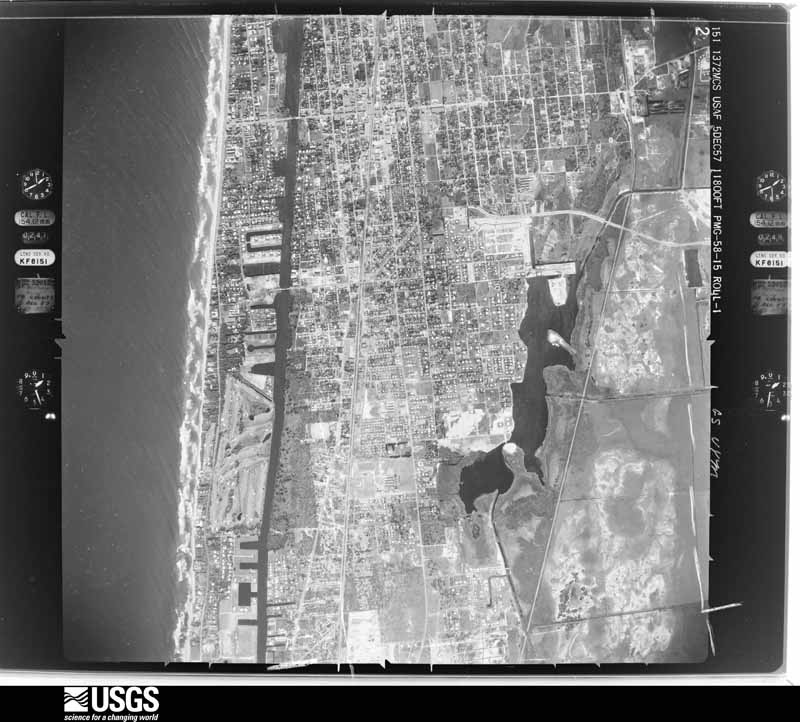
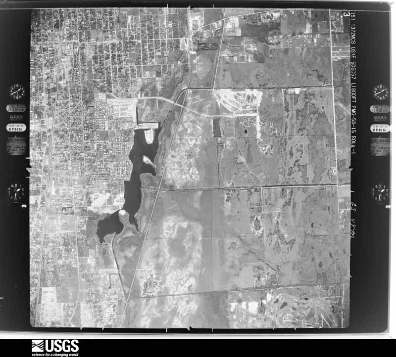
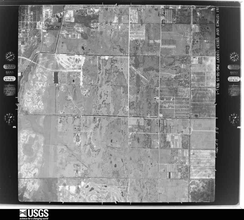
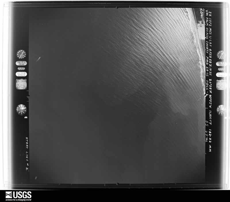
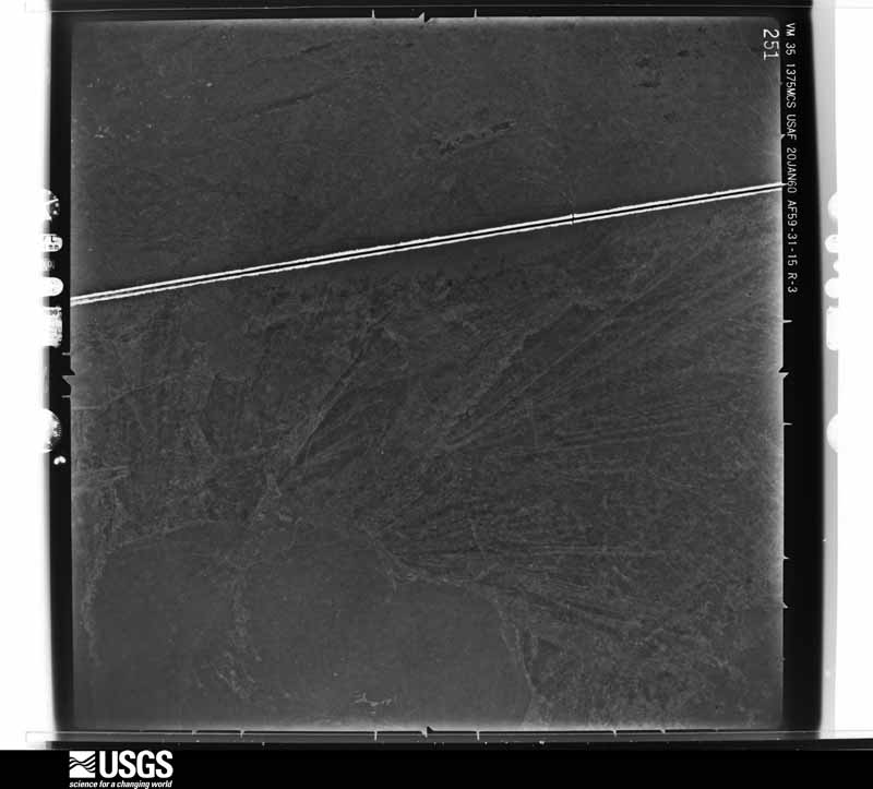
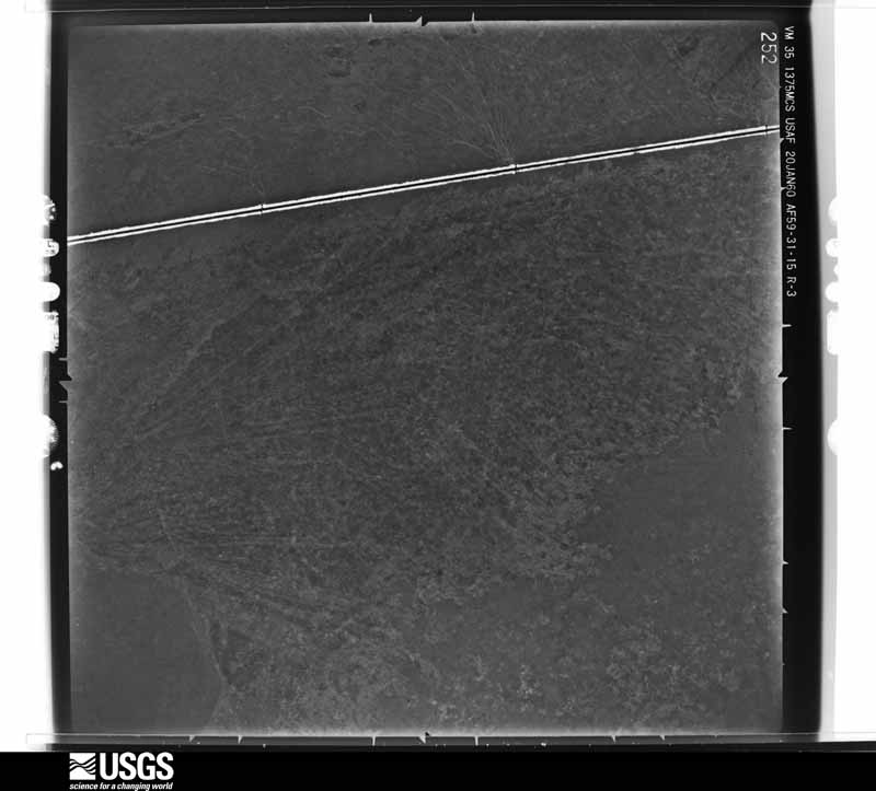
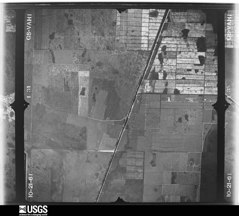
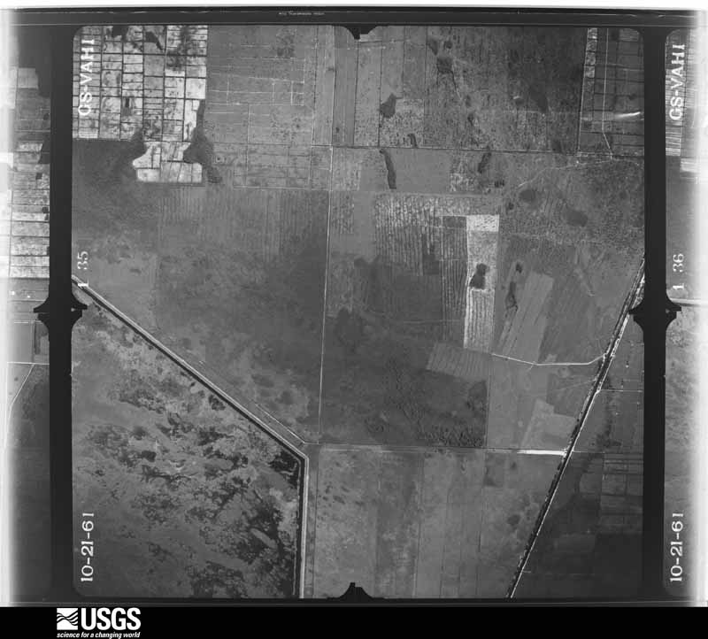
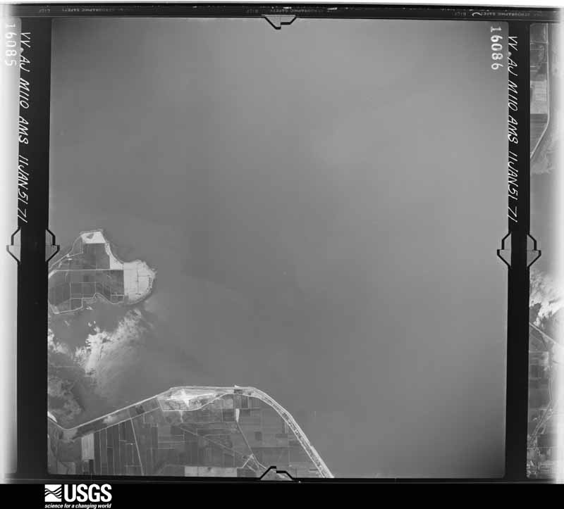
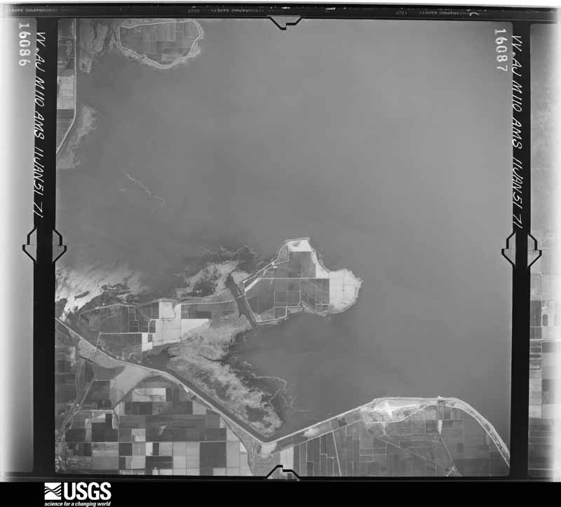
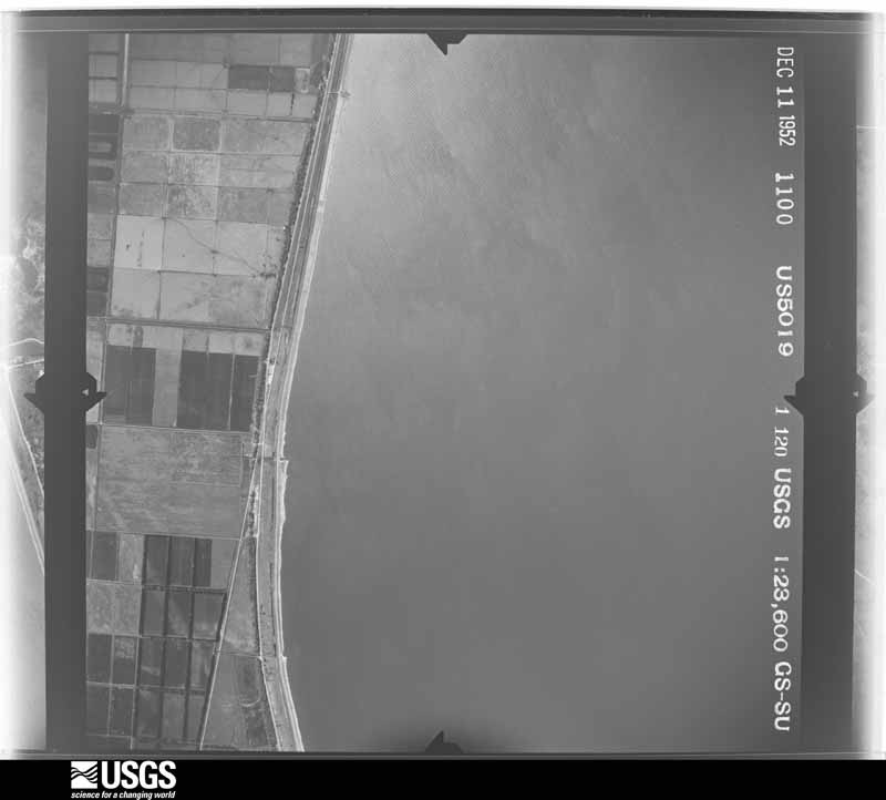
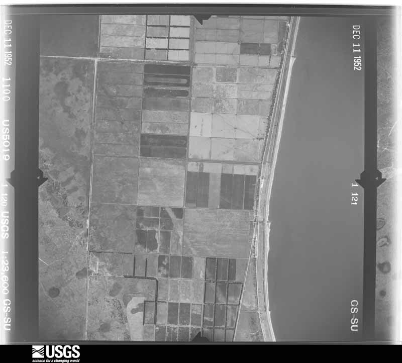
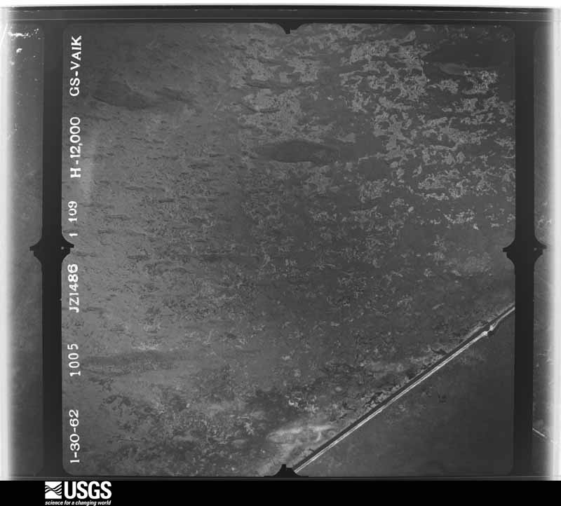
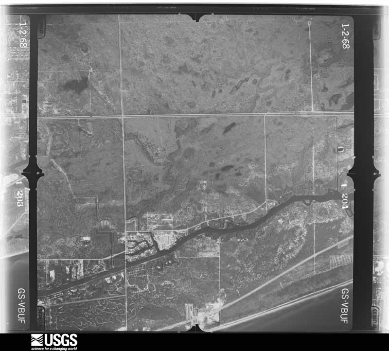
Flown by the U.S. Geological Survey between 1937 and 1989, the Aerial Photo Single Frames collection is the definitive mid-century view of the land: fields, roads and rivers as the camera saw them. The Survey holds 3,847 frames inside the rectangle that bounds this county; the 48 frames below were taken over the county itself, chosen across the decades of flights (at most four a year from that rectangle), so one flight cannot crowd out the rest. The full set is free to browse and download at EarthExplorer under the dataset Aerial Photo Single Frames.
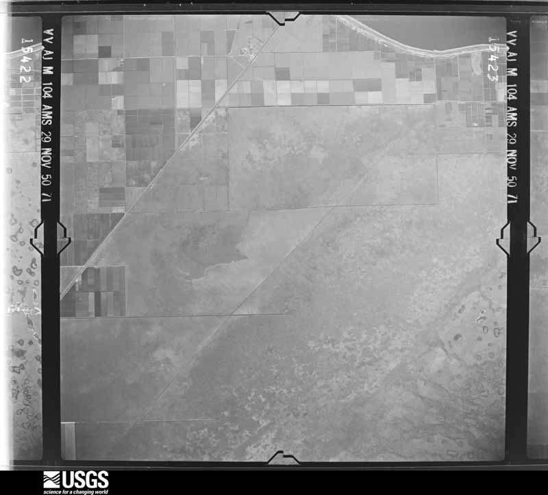
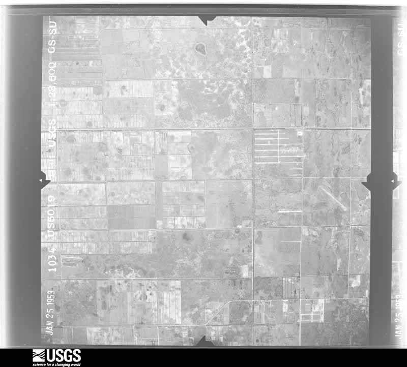
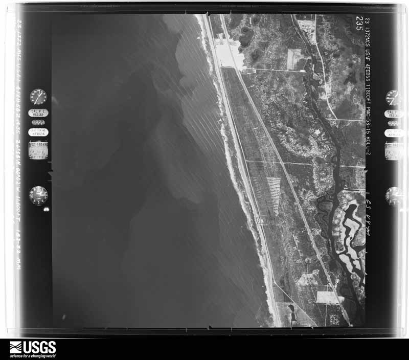
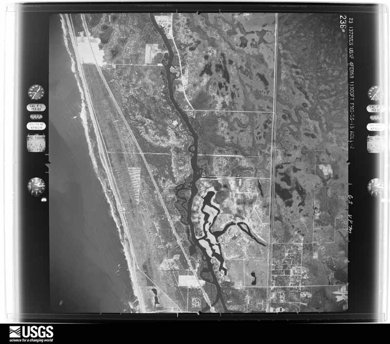
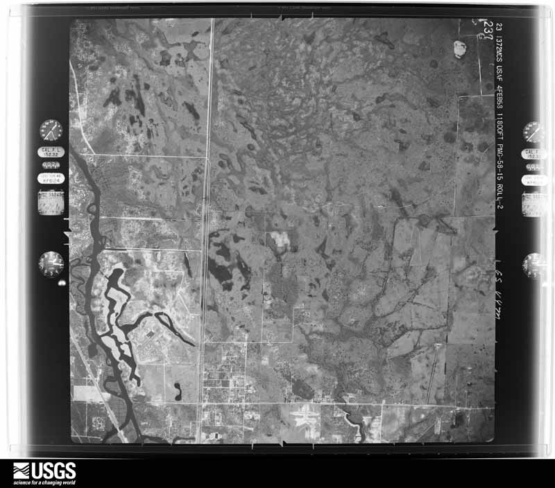
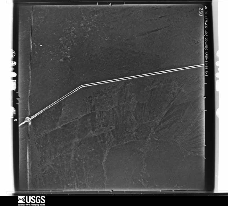
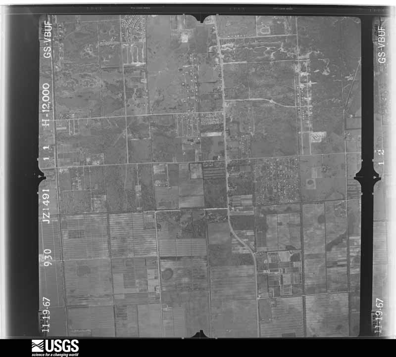
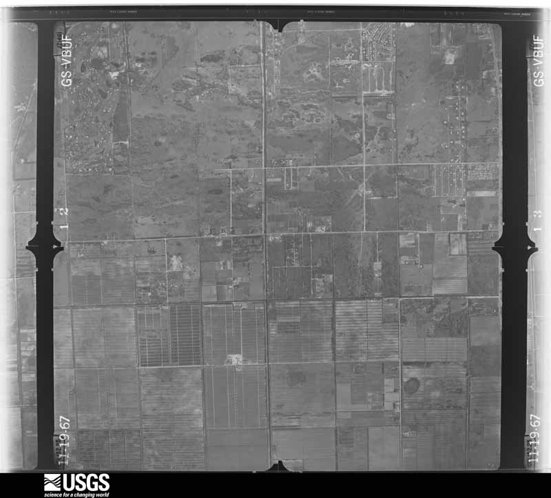
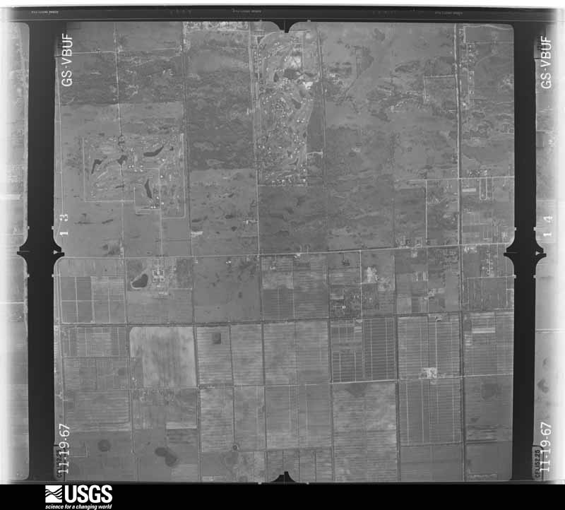
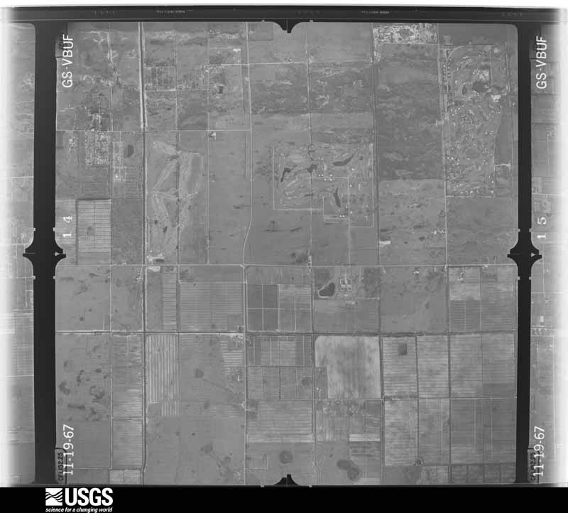
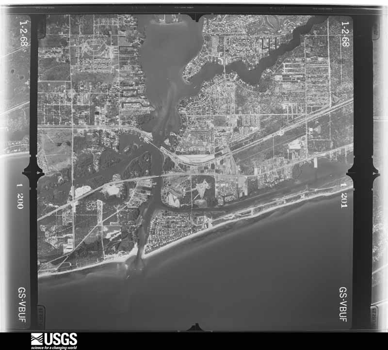
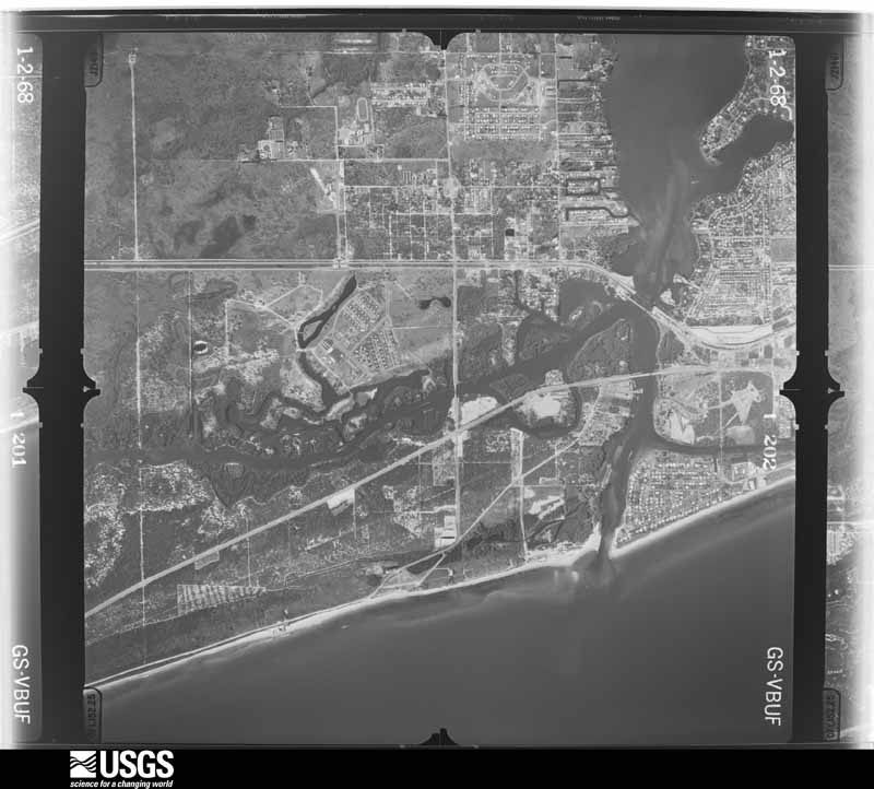
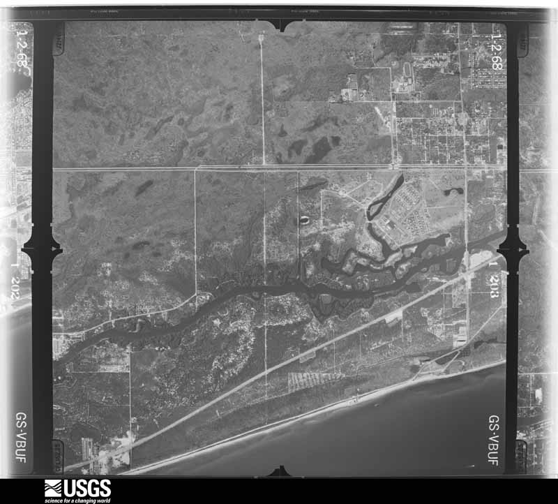
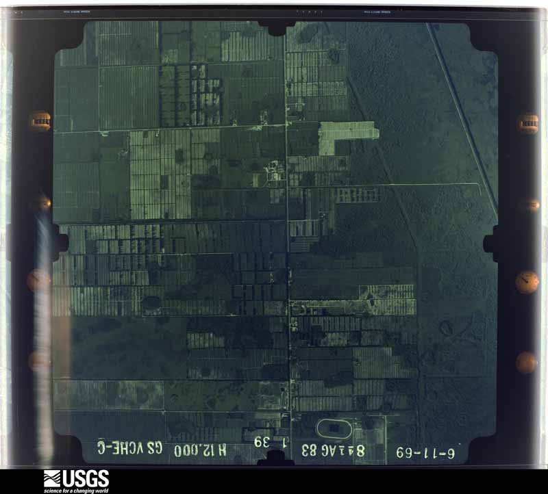
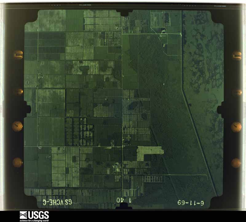
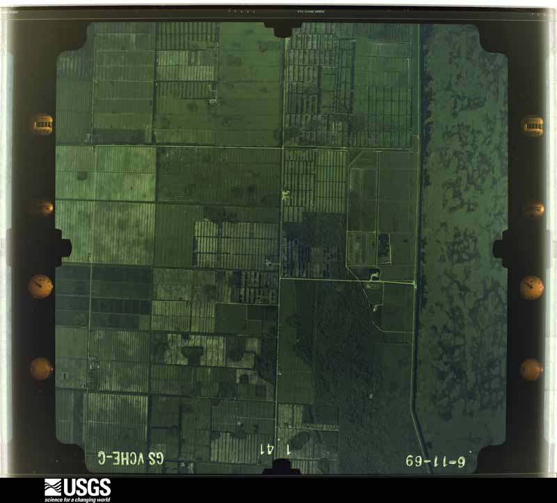
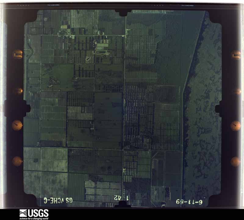
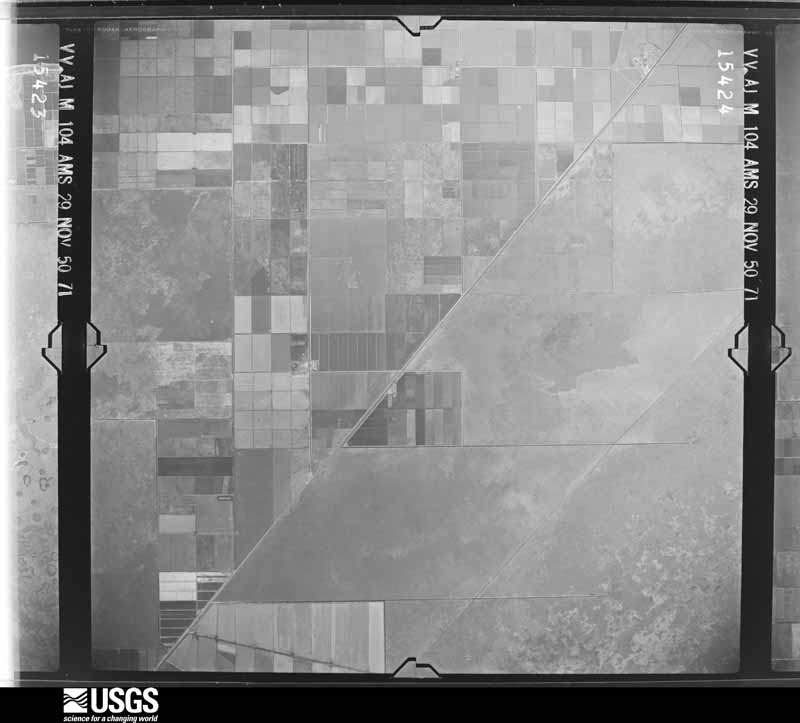
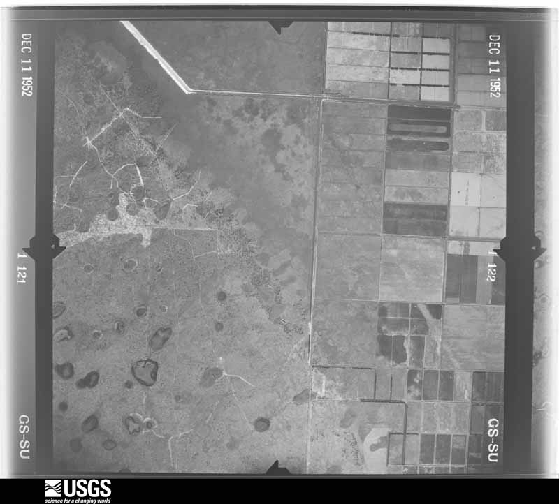
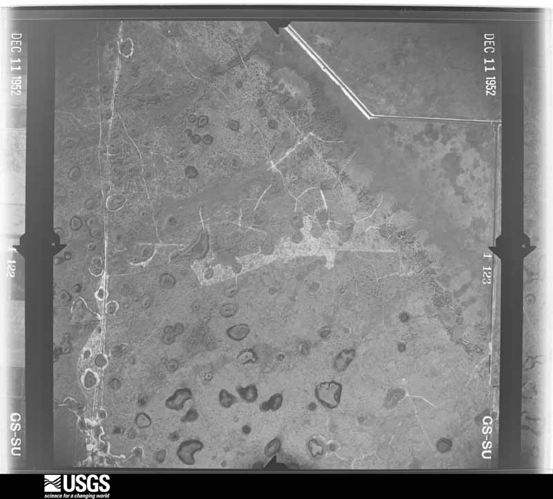
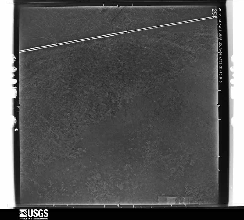
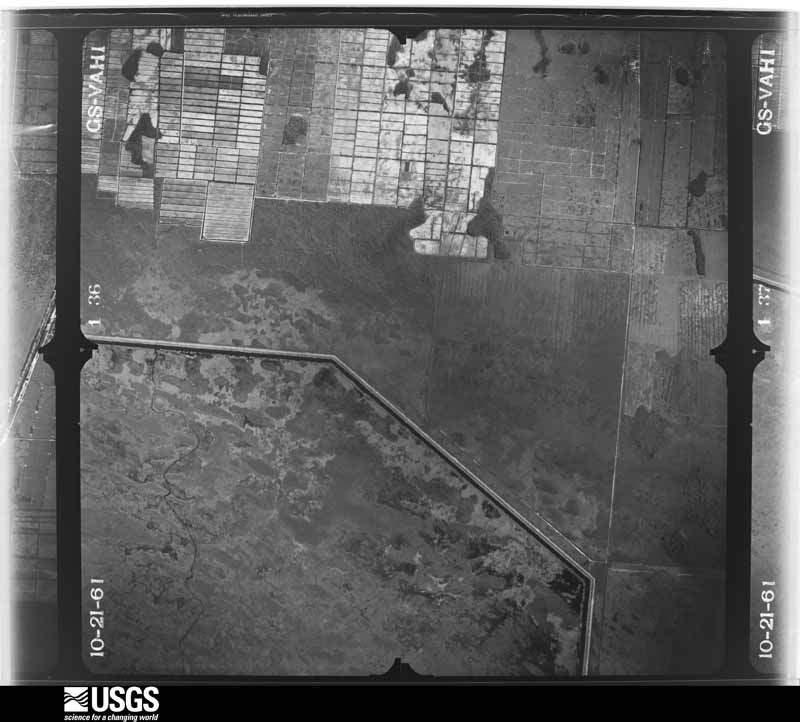
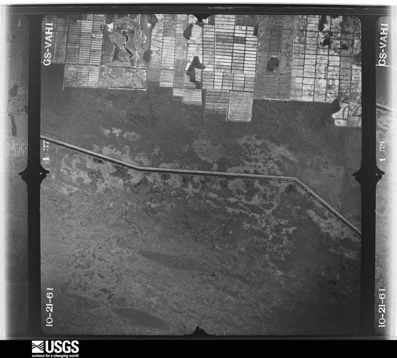
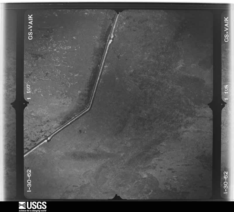
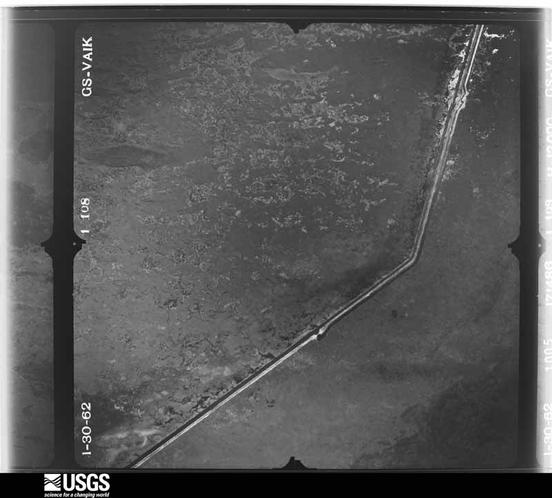
The thermometers that kept this county's weather, and the gages that measured the flow of its streams, as the federal records hold them. The extremes below are measured values from those records, not estimates.
Who lived here in 1950, one enumeration district at a time, as the Census Bureau described each district. Each row opens its official National Archives result, with Population Schedules and ED Maps available there.
Every wildfire the federal occurrence database records inside this county: 1,151 of them, burning about 407,104 acres. 419 started naturally and 51 were recorded as arson. Each settlement page carries the fires within five miles of it.
| Reported cause | Fires |
|---|---|
| Natural | 419 |
| Railroad operations and maintenance | 219 |
| Misuse of fire by a minor | 107 |
| Equipment and vehicle use | 106 |
| Missing data/not specified/undetermined | 105 |
| Debris and open burning | 82 |
| Arson/incendiarism | 51 |
| Smoking | 24 |
| Recreation and ceremony | 22 |
| Power generation/transmission/distribution | 14 |
| Fireworks | 2 |
The five largest, by the area the report gives. None of them was recorded as arson.
| Date | Cause | Size | Reported by | Name on the report |
|---|---|---|---|---|
| 9 May 2006 | Natural | 29,250 acres | Florida Forest Service | BERG FIRE |
| 21 May 2015 | Natural | 26,428 acres | Arthur R. Marshall/Loxahatchee National Wildlife Refuge | PUMPHOUSE |
| 3 July 2019 | Natural | 21,100 acres | Florida Forest Service | TWO ALPHA ( 50 ) |
| 19 May 2017 | Equipment and vehicle use | 19,600 acres | Florida Forest Service | THREE MILE ( 50 ) |
| 11 June 1994 | Natural | 17,000 acres | Florida Forest Service | HOLYLAND |
| 20 June 2006 | Natural | 16,000 acres | Florida Forest Service | THE DEERFLY FIRE |
| 27 May 2000 | Debris and open burning | 14,000 acres | Florida Forest Service | HOLEYLAND |
| 9 July 2015 | Natural | 12,784 acres | Arthur R. Marshall/Loxahatchee National Wildlife Refuge | LAST DANCE |
Every settlement page carries the fires within five miles of it - see the settlement index below.
The NOAA Storm Events Database holds 1,095 reports for this county, causing 22 deaths, 185 injuries and about $274,359,060 in recorded property damage. Each settlement page carries the reports that name it.
| Kind of event | Reports |
|---|---|
| Thunderstorm Wind | 303 |
| Tornado | 198 |
| Hail | 171 |
| Funnel Cloud | 142 |
| Lightning | 83 |
| Waterspout | 64 |
| Flood | 55 |
| Flash Flood | 47 |
| Rip Current | 16 |
| Heavy Rain | 11 |
| Wildfire | 4 |
| Storm Surge/Tide | 1 |
The most serious of them, by death, then injury, then recorded damage. The accounts are quoted exactly as the forecast office filed them.
| When | Event | Place named | Harm | What the report says |
|---|---|---|---|---|
| January 2014 | Flash Flood | Delray Beach | 2 killed, $500,000 | Intense thunderstorms began to develop over the east coast metropolitan area of Palm Beach County during the evening hours and began to train across the same areas for the next several hours. As a result, high rainfall amounts were observed from Delray Beach to Jupiter. The heaviest rain fell from about 8 PM to Midnight. The area from Kings Point to Boynton Beach, Hypoluxo and Town of Palm Beach received the heaviest amounts of 10 to 20 inches, with the maximum amount reported from a mesonet site in Boynton Beach just east of I-95 and north of Gateway Boulevard receiving an astonishing 22.21 inches in about a 6-hour period. Other reports were 16.03 inches just southwest of Palm Beach, 15.04 inches at Lantana and 13.13 inches at Boynton Beach. These heavy rainfall amounts also resulted in several road closures including all lanes of I-95 in Boynton Beach between mile markers 56 and 60 with many cars on side streets reported being flooded. Tragically, two fatalities were also reported the following morning: a 56-year old female drove her vehicle off a flooded roadway in Delray Beach and into a lake and also in Delray Beach, a 90-year old male drowned after slipping into a canal while walking down a street. Several businesses and residences also reported inundation during the event but little damage was reported, including along Worth Avenue in Palm Beach, Boynton Beach east of I-95 and in parts of Delray Beach. ||Approximately 200 homes had water intrusion, although the vast majority of these only had minor flooding. Damage totals indicated are estimated based on number of homes with water intrusion and level of water. |
| September 2003 | Rip Current | Boca Raton | 2 killed | Two residents drowned in rip currents at an unguarded section of beach. Both persons were weak swimmers and were in 4.5 feet of water when the rip currents pulled them into deeper water. |
| October 1958 | Tornado (F3) | not stated | 1 killed, 24 hurt, $250,000 | no account filed |
| July 2019 | Lightning | Wellington | 1 killed, 5 hurt | Palm Beach Post reported 6 people, a woman and 5 men, were struck by lightning at the Shakerwood development off of Wellington Trace. This is west of the Mall at Wellington Green. The victims were working on the roof of a townhouse when the lightning struck. Two people, a 20-year-old woman and a man, were knocked off the roof by the lightning strike and were taken to a local hospital trauma center where the women was in critical condition. The woman died from her injuries on August 9th. ||Two others were taken to local hospitals and recovered, while the remaining two victims were treated at the scene and released. ||Based on lightning detection network data, the lightning strike was likely the first strike from a thunderstorm that developed very close to the location. |
| July 1987 | Thunderstorm Wind | not stated | 1 killed, 2 hurt | no account filed |
| July 2018 | Lightning | Lake Worth | 1 killed, 1 hurt | Multiple media outlets reported that 2 men were working in a wooded area when a tree near them was struck by lightning sending the current into them. They both were then transported to local area hospitals where one man was deceased and the other survived his injuries. |
| April 2016 | Lightning | Hypoluxo | 1 killed | A 23 year old male was struck by lightning while standing underneath a tree in front of his home at 250 North Palm Drive in Boynton Beach. CPR was performed at the scene and he was transported to Bethesda Medical Center, where he later died from his injuries. |
| July 2007 | Lightning | Boca Raton | 1 killed | A 20-year-old male was struck while lightning while playing soccer at Lake Wyman Park in Boca Raton. The victim went to the hospital and died 3 days later. Time of lightning strike is estimated.||A thunderstorm had passed through the park and the victim along with a group of friends took refuge in a park restroom. After the rain stopped, the group went back outside. Lightning struck shortly thereafter, striking the ground near the victim and traveled along the wet grass, entering the victim's left foot. There was a hole in his left shoe and both his socks were burned off. |
| April 2006 | Lightning | West Palm Beach | 1 killed | A 65-year-old man was killed when he was struck by lightning while standing in his front yard talking to his neighbor. |
| August 2003 | Lightning | Boca Raton | 1 killed | A 51-year-old man was killed by lightning as he walked from his car to his mailbox outside his home. It was raining moderately at the time. |
| August 2003 | Lightning | Delray Beach | 1 killed | A 67-year old male was killed by lightning as he edged his yard. |
| August 2002 | Lightning | Jupiter | 1 killed | A 28-year old man working on a roof at the Admiral's Cove subdivision was struck by lightning and mortally injured. He was holding roof flashing and a metal tray when the lightning struck.. He was transported to the hospital where he died 9 days later. |
| February 2001 | Rip Current | Boca Raton | 1 killed | A 62-year old man drowned in a rip current along an unguarded section of Highland Beach. Winds were east at 20 to 25 mph. |
| July 2001 | Rip Current | Lantana | 1 killed | A Lantana-resident drowned in a rip current while attempting to swim back to the beach. |
| October 1998 | Rip Current | Boynton Beach | 1 killed | Strong easterly winds resulted in rip currents. 20 year old man was last seen surfing but time of drowning is unknown. Lifeguards reported several rescues. |
| July 1997 | Lightning | West Palm Beach | 1 killed | 34 year old male struck by lightning shortly after getting out of his car at his residence on stoneway lane. |
| October 1997 | Rip Current | Manalapan | 1 killed | swimmer caught in current near 2000 s . ocean blvd. |
| June 1999 | Lightning | Boca Raton | 1 killed | no account filed |
| February 1997 | Rip Current | Ocean Ridge | 1 killed | no account filed |
| November 1996 | Rip Current | 860 S Ocean Blvd | 1 killed | no account filed |
| August 2003 | Tornado (F1) | Palm Beach Gardens | 28 hurt, $80,000,000 | A SKYWARN spotter sighted a funnel cloud that touched down near North Lake Boulevard and North Military Trail. The tornado moved south through the Garden Walk Mobile Home Park then turned southeast and crossed I-95, overturning a semi-tractor trailer. The tornado proceeded east through Riviera Beach damaging the roofs of many houses and businesses. Twenty-eight persons suffered minor injuries, 58 homes were destroyed, 21 homes suffered major damage and 150 homes had minor damage. Several cars and trucks were overturned and damage was estimated at $70-80 million. |
| October 1964 | Tornado (F2) | not stated | 22 hurt, $250,000 | no account filed |
| July 1996 | Lightning | Pahokee | 9 hurt | no account filed |
| October 2024 | Tornado (EF3) | Loxahatchee | 7 hurt, $81,350,000 | A tornado originated in the Loxahatchee National Wildlife Refuge, where there was an observed radar-based circulation and a video of a tornado captured in this area from western Delray Beach. The tornado moved north-northeast, eventually affecting several western Palm Beach County communities. A National Weather Service survey identified the southernmost surveyed point in the Rustic Ranches section of Wellington where a double-wide mobile home on Deer Path Lane was left practically unrecognizable, rated as an EF-3 at this location with 7 injuries reported. The tornado tracked north-northeast over the far western portion of Wellington, across the Lakefield West, Meadowwood, and Binks Forest communities, where EF-1 and EF-2 damage was noted to homes and trees. The tornado crossed Southern Boulevard/US Highway 98, then continued north-northeast across Loxahatchee Groves and The Acreage where EF-1 to isolated EF-2 damage was observed to homes, trees, and outbuildings. The tornado intensified as it approached Northlake Boulevard on the north end of The Acreage, then did its most considerable damage in the Avenir community of Palm Beach Gardens. At the beginning of this community, a large portion of the roof collapsed of a Publix supermarket building which was recently completed and set to open in the near future, and rated EF-3. Considerable structural damage rated EF-2 and EF-3, including heavy roof damage, impact-resistant windows which were shattered and blown in, and vehicles lifted and moved at least 100 yards were observed. The tornado then moved just west but very close to North Palm Beach County General Aviation Airport, where a wind gust of 92 mph from the south-southwest was measured at the AWOS around 4:10 PM EST. The tornado crossed Bee Line Highway/SR 710 where tree damage was observed, then entered Jupiter Farms where EF-1 to EF-2 damage was noted to trees, outbuildings, and power poles. Footage from a Florida Turnpike highway camera showed the tornado moving north past Jupiter Farms to the Martin County line, where it continued north for a short distance. The tornado was rated a EF-3 with a path width of 200-300 yards for much of the track, with only a few places where the circulation may have briefly lifted. There were 15 structures destroyed, and 321 with minor to major damage with a total of $81.35 million in damage. |
| December 1986 | Tornado (F1) | not stated | 7 hurt, $250,000 | no account filed |
| March 2004 | Rip Current | Palm Beach | 6 hurt | A dozen people were caught in a rip current at Sunset Avenue Beach. The people were rescued but eight of them were transported to the hospital. |
| October 1964 | Tornado (F1) | not stated | 3 hurt, $25,000 | no account filed |
| April 1958 | Tornado (F1) | not stated | 3 hurt, $25,000 | no account filed |
| October 1964 | Tornado (F1) | not stated | 3 hurt, $2,500 | no account filed |
| October 1964 | Tornado (F1) | not stated | 3 hurt, $2,500 | no account filed |
| March 2016 | Lightning | Boca Raton | 3 hurt | Lightning struck three firefighters in the backyard of a home in the 3100 block of NW 27 Avenue in the Strathmore subdivision in Boca Raton. The victims were standing under an overhang over the home when lightning struck. All three firefighters were knocked off their feet and one was thrown 15 feet in the air and suffered a seizure. Two sustained minor injuries, including hearing problems. Time is estimated. |
| August 2008 | Lightning | Ocean Ridge | 3 hurt | Around 5:30 PM a trooper from the Florida Highway Patrol was investigating a crash on interstate 95 in Palm Beach County when he was struck by lightning. The trooper was able to radio for help and was taken to Bethesda Memorial Hospital along with two other people who were involved in the crash. All three people injured by the strike were later released by the hospital. |
| July 1997 | Lightning | Tequesta | 3 hurt | three male workers (ages...54,21 and 35) were working on the roof of a townhouse in tequesta oaks when a bolt of lightning struck nearby. they were taken to nearby hospitals for observation. in suburban lake worth a tree was struck by lightning resulting in a small fire. |
| August 1983 | Tornado (F2) | not stated | 2 hurt, $2,500,000 | no account filed |
| November 1968 | Tornado (F1) | not stated | 2 hurt, $250,000 | no account filed |
| September 2022 | Tornado (EF2) | Boca Raton | 2 hurt | A strong tornado affected portions of Boca Raton and unincorporated Delray Beach on the evening of September 27th, 2022. The beginning of the identified damage was at the Florida Atlantic University Campus in Boca Raton, where siding was torn off of a |building. Doppler radar showed evidence of strong rotation along the track, however damage reports are unavailable for the remainder of the Boca Raton portion of the track. EF-0 damage was noted at the American Heritage School just south of Linton Blvd where trees were uprooted and fences were damaged. ||The tornado intensified after crossing Linton Blvd and entered the Kings Point community. Considerable damage to condominium buildings, trees, and vehicles was noted. EF-1 and EF-2 damage was common in Kings Point. The roof was completely lifted off of a small two-story building complex, with an adjacent larger two-story building complex having about 25% of its roof lifted. Several palm trees were snapped at the middle, and one of the snapped palm trees crashed into a second story|unit and tore a large hole into the wall. A few cars were flipped and moved, and many large tree branches were snapped at the top of the tree canopies. ||In Kings Point, 2 people were injured in their homes when their roof collapsed. One person was rescued from her bathroom after her roof collapsed. A total of about 30 people were evacuated. ||Just north of the Kings Point community, large tree branches were broken off trees at a Home Depot parking lot at Jog Road and Atlantic Avenue. The tornado continued north of Atlantic Avenue and entered the Villages of Oriole where EF-1 damage was observed to a few homes, mainly in the form of roof uplift and loss of roof covering/shingles. The tornado lifted in the area of Jog Road and N. Oriole Blvd. |
| July 2005 | Lightning | Jupiter | 2 hurt | Two boys, ages 15 and 16, were knocked unconscious while standing under a tree in the woods, next to a canal. The 15-year-old was struck in the head and suffered cardiac arrest, but later recovered. It was just beginning to rain at the time. |
| August 2004 | Lightning | Wellington | 2 hurt | In two separate incidents, women were struck by lightning while in parking lots. One woman was taken to the hospital in critical condition. |
| June 1980 | Tornado (F1) | not stated | 1 hurt, $2,500,000 | no account filed |
| September 1999 | Lightning | West Palm Beach | 1 hurt, $50,000 | no account filed |
| June 1996 | Lightning | Belle Glade | 1 hurt, $50,000 | no account filed |
| March 1982 | Tornado (F1) | not stated | 1 hurt, $25,000 | no account filed |
| June 1978 | Tornado (F0) | not stated | 1 hurt, $25,000 | no account filed |
| February 2008 | Thunderstorm Wind | Lake Park Arpt | 1 hurt, $5,000 | Thunderstorm winds produced damage at the Moroso Motor Sports Park on BeeLine Highway in North Central Palm Beach County. An awning was blown off a trailer, and a man was injured when a 400-500 pound water barrel struck him. Damage was also done to a truck on site. |
| June 2008 | Lightning | Tequesta | 1 hurt, $3,000 | A car was struck by lightning while driving on I-95 in northern Palm Beach County between Indiantown and Donald Ross roads. A female passenger was taken to the hospital for precationary measures. The vehicle was inoperable, likely due to electrical damage caused by the lightning strike. |
| January 1987 | Tornado (F0) | not stated | 1 hurt, $2,500 | no account filed |
| August 2019 | Lightning | Palm Beach Gardens | 1 hurt | Broadcast media reports a man was critically injured due to a lightning strike. He was injured while walking his dog in Lake Park. The man was transported to a local hospital. |
| July 2017 | Lightning | Westgate | 1 hurt | Many reports of a man being shocked while shutting a gate that was struck by lightning at the 100 block of Australian Avenue in West Palm Beach. He was transported to a nearby hospital for treatment. Time is based on archived lightning data which showed 2 strikes very close to the location. |
| September 2016 | Lightning | Wellington | 1 hurt | A local newspaper reported a man was struck by lightning in Wellington in Palm Beach County. The incident occured in the 15000 block of Sunnyland Lane. The man was taken to a local trauma center for treatment. |
| September 2015 | Lightning | Westgate | 1 hurt | A woman working at Palm Beach International Airport was apparently struck by lightning on the tarmac and was taken to the hospital. Lightning data from the National Lightning Detection Network showed a lightning strike at the airport at the reported time of the emergency call. |
| July 2014 | Lightning | Boca Raton | 1 hurt | A young woman was injured by a lightning strike in suburban Boca Raton. She was standing in a puddle when lightning struck nearby and felt the shock to her body. She was released from the hospital a short time later. |
| July 2014 | Lightning | Delray Beach | 1 hurt | A person was rushed to the hospital with traumatic injuries after being struck by lightning in Boca Country Club. |
| July 2014 | Lightning | Westgate | 1 hurt | A man was shocked on a ramp at Atlantic Aviation at Palm Beach International Airport when lightning struck nearby. The man fell to the ground and was taken to the hospital for treatment. |
| June 2013 | Tornado (EF1) | Wellington | 1 hurt | An EF-1 tornado tracked almost due north in the Acreage community of north central Palm Beach County. The tornado moved across a suburban, residential community just west of 130th Path North between 69th St. North and 87th St. North. Several homes sustained minor to moderate roof damage, mainly in the form of shingles and roof covering torn off. A couple of homes sustained more substantial rood damage with partial uplift of roofs. Numerous trees were uprooted or sheared off near the trunk, along with plenty of large branches broken or split from the main trunk. Trees damaged consisted primarily of Oaks, Slash Pines and Palms. Flying debris from trees resulted in broken windows in several homes.||One serious injury required hospitalization in a home on 76th Road North. An 85-year old woman was injured when she was struck by flying debris from a large Oak tree which broke through her bedroom window. One home sustained damage to the garage door, causing the door to blow in and leading to the roof being completely punctured above the garage. A few vehicles were moved from their original locations and a 30-foot boat was flipped on its side. |
| July 2010 | Lightning | Delray Beach | 1 hurt | Lightning struck a man in his late 20s in Delray Beach on Old Germantown Road at around 9pm local time. The man was taken to the hospital and appeared to be in stable condition. |
| August 2010 | Lightning | Florida Gardens | 1 hurt | A teen was fishing at a lake near Lake Worth Road and the Turnpike in the Vista Pines Community when he was struck by lightning. A man witnessed the teen being struck and rushed to help. When arriving at the scene the teen was not breathing, bleeding out the nose, and burned, but he was revived and then rushed to Delray Medical Center where he was able to move his extremities and was later able to talk.||The boy was expected to recover from his injuries. |
| September 2010 | Lightning | Tequesta | 1 hurt | Lightning struck a man at Frenchman's Bend in Palm Beach Gardens. He was taken to the front office by some landscapers where he was then taken to Saint Mary's Medical Center by emergency crews. He was in stable condition. |
| June 2010 | Lightning | Jupiter | 1 hurt | A 19-year-old woman was shocked by a lightning strike which struck about 25 feet from her home's driveway as she was outside loading clothes into a vehicle. The woman was 8 months pregnant. The victim was taken to a nearby hospital and was released the same day. |
| August 2009 | Lightning | Tequesta | 1 hurt | A Jupiter Heights resident loaded his truck as he prepared to go to work about 7AM. The man was then struck in the head and thrown about 10 feet. The bolt also burned an egg shaped hole in his hat. |
| June 2009 | Lightning | (Pbi)Palm Beach Arpt | 1 hurt | Lightning struck the roof of a house and ignited a fire, injuring a resident of the home. |
The Survey's mineral resources record lists 23 workings inside this county. 14 still produce and 9 are closed or unrecorded. Each settlement page carries the workings within five miles of it.
| Commodity | Workings |
|---|---|
| Stone, Crushed/Broken | 11 |
| Sand | 6 |
| Limestone, General | 4 |
| Sand and Gravel, Construction | 1 |
| Calcium | 1 |
The least common of them first, because a county's hundredth gravel pit says nothing its first ten did not.
| Where | Site | Commodity | Status | Recorded |
|---|---|---|---|---|
| Gilbert Pit #134 | Calcium | Producer | ||
| Palm Beach County Mine | Sand and Gravel, Construction | Past Producer | ||
| Bergeron Land Development - Bergeron Pit | Limestone, General | Producer | Limestone | |
| Gkk, Inc. Palm Beach Aggregates,Inc. | Limestone, General | Producer | Limestone | |
| Griffin Brothers - Terrytown Number 2 | Limestone, General | Producer | Limestone | |
| Southern Sand and Stone - Number 2 | Limestone, General | Producer | Limestone | |
| Bell Engineering - Bell Farms Pit | Sand | Producer | ||
| Griffin Brothers - Rock Quarry Number 2 | Sand | Producer | ||
| Hardrives Co, - Loxahatchee Road | Sand | Producer | ||
| Hardrives Co. - Knollbroke Pit | Sand | Producer | ||
| Loxahatchee Enterprises - Loxahatchee Mine | Sand | Unknown | Sand | |
| Ryan, Inc. - Lox Road Mine | Sand | Unknown | Sand | |
| Bell Farms Shell Pit | Stone, Crushed/Broken | Producer | ||
| Dubois Limestone Quarry | Stone, Crushed/Broken | Past Producer | ||
| Golden Lakes Pit | Stone, Crushed/Broken | Past Producer | ||
| Lantan Rock Pit | Stone, Crushed/Broken | Past Producer | ||
| Loxahatchee Enterprises Inc. | Stone, Crushed/Broken | Producer | ||
| Okeechobee Pit | Stone, Crushed/Broken | Past Producer | ||
| Peanut Island Limestone Quarry | Stone, Crushed/Broken | Past Producer | ||
| Rabbit Island Rock Division | Stone, Crushed/Broken | Producer | ||
| Rock Pit #2 | Stone, Crushed/Broken | Producer | ||
| South Bay Limestone Quarry | Stone, Crushed/Broken | Past Producer | ||
| Southeast Mine | Stone, Crushed/Broken | Producer |
Named settlements recorded in the Geographic Names Information System, each with the topographic sheets covering it. Villages, hamlets and abandoned places alike. Each is shown with the nearest named watercourse or landform and the survey quadrangle it falls on.
Boynton Beach-Delray Beach census division · 33472 · Greenacres City quadrangle
14 sheets, 1945 to 1987
Belle Glade-Pahokee census division · 33440 · Lake Harbor quadrangle
11 sheets, 1956 to 1987
Belle Glade-Pahokee census division · 33430 · Belle Glade quadrangle
12 sheets, 1956 to 1987
Belle Glade-Pahokee census division · 33430 · Belle Glade quadrangle
12 sheets, 1956 to 1987
West Palm Beach census division · 33409 · Palm Beach quadrangle
16 sheets, 1946 to 1987
Boca Raton census division · 33433 · West Dixie Bend quadrangle
16 sheets, 1946 to 1987
Boynton Beach-Delray Beach census division · 33435 · Lake Worth quadrangle
14 sheets, 1945 to 1987
Boynton Beach-Delray Beach census division · 33435 · Lake Worth quadrangle
14 sheets, 1945 to 1987
Belle Glade-Pahokee census division · 33438 · Pahokee quadrangle
10 sheets, 1956 to 1987
West Palm Beach census division · 33417 · Palm Beach Farms quadrangle
14 sheets, 1946 to 1987
Boynton Beach-Delray Beach census division · 33435 · Delray Beach quadrangle
17 sheets, 1950 to 1987
Boynton Beach-Delray Beach census division · 33436 · Lake Worth quadrangle
14 sheets, 1945 to 1987
Boynton Beach-Delray Beach census division · 33484 · University Park quadrangle
16 sheets, 1947 to 1987
West Palm Beach census division · 33417 · Palm Beach quadrangle
16 sheets, 1946 to 1987
Belle Glade-Pahokee census division · 33430 · Belle Glade quadrangle
12 sheets, 1956 to 1987
Boynton Beach-Delray Beach census division · 33444 · Delray Beach quadrangle
17 sheets, 1950 to 1987
Boynton Beach-Delray Beach census division · 33445 · Delray Beach quadrangle
17 sheets, 1950 to 1987
Boynton Beach-Delray Beach census division · 33445 · Delray Beach quadrangle
17 sheets, 1950 to 1987
Royal Palm Beach-West Jupiter census division · 33412 · Delta quadrangle
16 sheets, 1945 to 1987
Boynton Beach-Delray Beach census division · 33436 · Delray Beach quadrangle
17 sheets, 1950 to 1987
Lake Worth census division · 33467 · Greenacres City quadrangle
14 sheets, 1945 to 1987
Boynton Beach-Delray Beach census division · 33445 · Delray Beach quadrangle
17 sheets, 1950 to 1987
Belle Glade-Pahokee census division · 33476 · Near Padgett Island · Pahokee quadrangle
10 sheets, 1956 to 1987
Royal Palm Beach-West Jupiter census division · 33411 · Palm Beach Farms quadrangle
14 sheets, 1946 to 1987
Boynton Beach-Delray Beach census division · 33436 · Delray Beach quadrangle
17 sheets, 1950 to 1987
Riviera Beach census division · 33407 · Riviera Beach quadrangle
14 sheets, 1946 to 1987
Lake Worth census division · 33463 · Greenacres City quadrangle
14 sheets, 1945 to 1987
Boynton Beach-Delray Beach census division · 33483 · Delray Beach quadrangle
17 sheets, 1950 to 1987
Sunshine Parkway census division · 33434 · University Park quadrangle
16 sheets, 1947 to 1987
Boynton Beach-Delray Beach census division · 33484 · University Park quadrangle
16 sheets, 1947 to 1987
Lake Worth census division · 33463 · Greenacres City quadrangle
14 sheets, 1945 to 1987
Boynton Beach-Delray Beach census division · 33462 · On Hypoluxo Island · Lake Worth quadrangle
14 sheets, 1945 to 1987
Boynton Beach-Delray Beach census division · 33462 · Lake Worth quadrangle
14 sheets, 1945 to 1987
Riviera Beach census division · 33408 · On Frenchmans Creek · Jupiter quadrangle
15 sheets, 1948 to 1987
Jupiter census division · 33458 · On Southwest Fork Loxahatchee River · Jupiter quadrangle
15 sheets, 1948 to 1987
Jupiter census division · 33469 · On Loxahatchee River · Jupiter quadrangle
15 sheets, 1948 to 1987
Belle Glade-Pahokee census division · 33440 · Clewiston South quadrangle
11 sheets, 1956 to 1987
Boynton Beach-Delray Beach census division · 33484 · University Park quadrangle
16 sheets, 1947 to 1987
Boynton Beach-Delray Beach census division · 33445 · Delray Beach quadrangle
17 sheets, 1950 to 1987
West Palm Beach census division · 33413 · Palm Beach Farms quadrangle
14 sheets, 1946 to 1987
Lake Worth census division · 33406 · Palm Beach quadrangle
16 sheets, 1946 to 1987
Belle Glade-Pahokee census division · 33440 · Lake Harbor quadrangle
11 sheets, 1956 to 1987
Riviera Beach census division · 33403 · On Earman River · Riviera Beach quadrangle
14 sheets, 1946 to 1987
Boca Raton census division · 33431 · Delray Beach quadrangle
17 sheets, 1950 to 1987
West Palm Beach census division · 33417 · Palm Beach quadrangle
16 sheets, 1946 to 1987
Boynton Beach-Delray Beach census division · 33462 · Near Hypoluxo Island · Lake Worth quadrangle
14 sheets, 1945 to 1987
Royal Palm Beach-West Jupiter census division · 33470 · Loxahatchee quadrangle
11 sheets, 1956 to 1987
Boynton Beach-Delray Beach census division · 33462 · Near Hypoluxo Island · Lake Worth quadrangle
14 sheets, 1945 to 1987
West Palm Beach census division · 33407 · Riviera Beach quadrangle
14 sheets, 1946 to 1987
West Palm Beach census division · 33417 · Palm Beach quadrangle
16 sheets, 1946 to 1987
Sunshine Parkway census division · 33498 · West Dixie Bend quadrangle
16 sheets, 1946 to 1987
Riviera Beach census division · 33403 · Riviera Beach quadrangle
14 sheets, 1946 to 1987
Boynton Beach-Delray Beach census division · 33435 · Lake Worth quadrangle
14 sheets, 1945 to 1987
Belle Glade-Pahokee census division · 33493 · Okeelanta quadrangle
11 sheets, 1956 to 1987
Belle Glade-Pahokee census division · 33476 · On Padgett Island · Pahokee quadrangle
10 sheets, 1956 to 1987
Belle Glade-Pahokee census division · 33476 · Near Padgett Island · Pahokee quadrangle
10 sheets, 1956 to 1987
West Palm Beach census division · 33480 · Near Everglades Island · Palm Beach quadrangle
16 sheets, 1946 to 1987
Lake Worth census division · 33413 · Palm Beach Farms quadrangle
14 sheets, 1946 to 1987
Royal Palm Beach-West Jupiter census division · 33418 · Delta quadrangle
16 sheets, 1945 to 1987
Riviera Beach census division · 33404 · Near Singer Island · Riviera Beach quadrangle
14 sheets, 1946 to 1987
West Palm Beach census division · 33401 · Palm Beach quadrangle
16 sheets, 1946 to 1987
Riviera Beach census division · 33404 · Near Singer Island · Riviera Beach quadrangle
14 sheets, 1946 to 1987
Riviera Beach census division · 33404 · Riviera Beach quadrangle
14 sheets, 1946 to 1987
Boca Raton census division · 33486 · West Dixie Bend quadrangle
16 sheets, 1946 to 1987
Jupiter census division · 33410 · On Frenchmans Creek · Jupiter quadrangle
15 sheets, 1948 to 1987
Lake Worth census division · 33467 · Greenacres City quadrangle
14 sheets, 1945 to 1987
Boynton Beach-Delray Beach census division · 33445 · Delray Beach quadrangle
17 sheets, 1950 to 1987
Boynton Beach-Delray Beach census division · 33472 · Greenacres City quadrangle
14 sheets, 1945 to 1987
Riviera Beach census division · 33404 · Near Peanut Island · Riviera Beach quadrangle
14 sheets, 1946 to 1987
Royal Palm Beach-West Jupiter census division · 33478 · Rood quadrangle
16 sheets, 1948 to 1987
Royal Palm Beach-West Jupiter census division · 33411 · Palm Beach Farms quadrangle
14 sheets, 1946 to 1987
West Palm Beach census division · 33415 · Palm Beach Farms quadrangle
14 sheets, 1946 to 1987
Jupiter census division · 33477 · On Loxahatchee River · Jupiter quadrangle
15 sheets, 1948 to 1987
Belle Glade-Pahokee census division · 33438 · Port Mayaca quadrangle
10 sheets, 1956 to 1987
Sunshine Parkway census division · 33433 · West Dixie Bend quadrangle
16 sheets, 1946 to 1987
West Palm Beach census division · 33417 · Palm Beach quadrangle
16 sheets, 1946 to 1987
Boynton Beach-Delray Beach census division · 33462 · Lake Worth quadrangle
14 sheets, 1945 to 1987
Boynton Beach-Delray Beach census division · 33445 · Delray Beach quadrangle
17 sheets, 1950 to 1987
Belle Glade-Pahokee census division · 33493 · Belle Glade quadrangle
12 sheets, 1956 to 1987
Lake Worth census division · 33480 · Near Hypoluxo Island · Lake Worth quadrangle
14 sheets, 1945 to 1987
West Palm Beach census division · 33417 · Palm Beach quadrangle
16 sheets, 1946 to 1987
Boynton Beach-Delray Beach census division · 33437 · Greenacres City quadrangle
14 sheets, 1945 to 1987
Western Community census division · 33470 · West of Delta quadrangle
12 sheets, 1956 to 1987
Boynton Beach-Delray Beach census division · 33483 · Delray Beach quadrangle
17 sheets, 1950 to 1987
Boca Raton census division · 33431 · University Park quadrangle
16 sheets, 1947 to 1987
Boynton Beach-Delray Beach census division · 33446 · University Park quadrangle
16 sheets, 1947 to 1987
Sunshine Parkway census division · 33414 · Palm Beach Farms quadrangle
14 sheets, 1946 to 1987
Royal Palm Beach-West Jupiter census division · 33478 · Rood quadrangle
16 sheets, 1948 to 1987
West Palm Beach census division · 33401 · Near Everglades Island · Palm Beach quadrangle
16 sheets, 1946 to 1987
West Palm Beach census division · 33413 · Palm Beach Farms quadrangle
14 sheets, 1946 to 1987
Royal Palm Beach-West Jupiter census division · 33470 · West of Delta quadrangle
12 sheets, 1956 to 1987
Sunshine Parkway census division · 33496 · University Park quadrangle
16 sheets, 1947 to 1987