 Block
BlockIslamorada, Florida
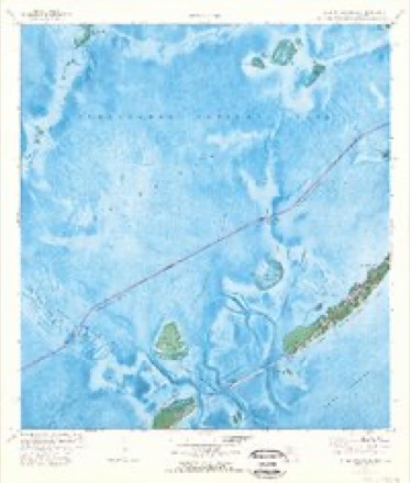
5 topographic sheets cover this place, the earliest surveyed in 1971 and the latest in 1989. It stands in the Upper Keys census division. It lies in ZIP code area 33036. It lies near Upper Matecumbe Key. The Survey maps it on the Upper Matecumbe Key quadrangle.
Then and now
1971 to 1989The same ground, surveyed 18 years apart. Drag the handle to wipe between them. Both sheets are United States Geological Survey originals; neither has been altered.
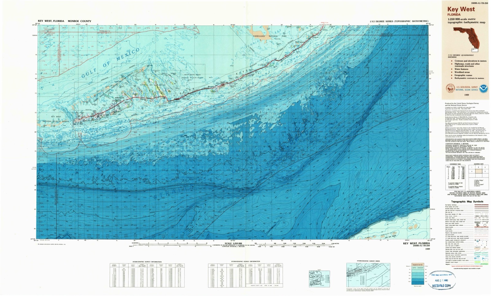
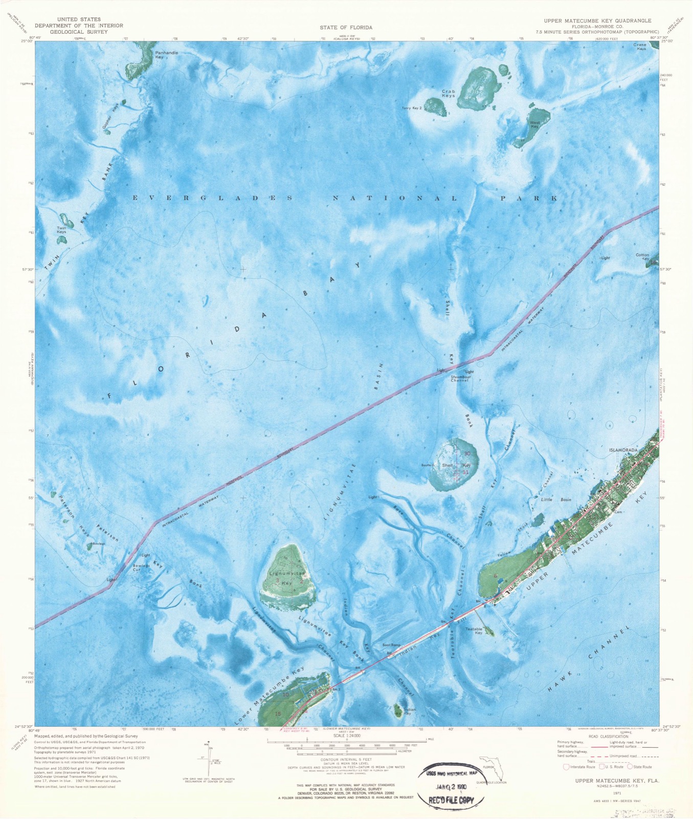
On record in Islamorada
Buildings and businesses the archive holds for this place. Each opens its own page, with the source record it came from.
On the National Register 8 records
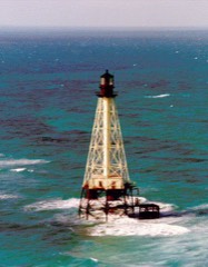 Alligator Reef Lightlisted 2011
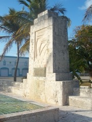 Florida Keys Memoriallisted 1995
- Chaves Shipwreck Sitelisted 2006
- Herrara Shipwreck Sitelisted 2006
- Matecumbe Methodist Churchlisted 2020
- Matecumbe Methodist Church Cemeterylisted 2021
- SAN PEDRO (shipwreck)listed 2001
- Tres Puentes Shipwreck Sitelisted 2006
Topographic sheets covering this place
3 surveys from 5 printed sheetsMatched by testing this settlement's coordinate against the published boundary of every sheet in the United States Geological Survey's historical collection. Each opens the scanned sheet at the Survey.
- 1971 USGS Upper Matecumbe Key quadrangle1:24000, 3 printings
- 1983 USGS Islamorada quadrangle1:100000
- 1989 USGS Key West quadrangle1:250000
Storms near this place
9 since 1998Regional context, not property-specific evidence. The National Weather Service names Islamorada in 9 storm reports between 1998 and 2001: 3 waterspout, 3 thunderstorm wind, 2 tornado, 1 lightning. The reports record 1 injury. Each account below is quoted exactly as the forecast office filed it, from the NOAA Storm Events Database, and each date opens the federal record of that event.
| When | Event | Place named | Harm | What the report says |
|---|---|---|---|---|
| August 2001 | Lightning | Islamorada | 1 hurt | Female injured by lightning during a thunderstorm. She was touching a stainless steel counter of the restaurant she worked at when she was struck. She worked at the Islamorada Fish Company. |
| November 1998 | Tornado (F1) | Islamorada | $100,000 | A tornado moved ashore from the Straits of Florida into the middle Keys near mile marker 80. It travelled in a northeast direction crossing to the west side of U.S. 1. Damage occurred to the roof of a motel and to trees, fences and power lines. |
| April 2001 | Waterspout | Islamorada | - | Waterspout observed 1/4 mile North of Islamorada |
| July 2001 | Thunderstorm Wind | Islamorada | - | 16-foot boat capsized; two fisherman rescued by coastguard; no injuries reported. |
| September 2001 | Thunderstorm Wind | Islamorada | - | Minor roof damage to a convienience store. A flagpole was removed from ground. |
| July 2001 | Thunderstorm Wind | Islamorada | - | Billboard flattened, power and telephone lines knocked down. Molasses Reef C-MAN station, about 5 miles offshore of Key Largo, measured a 42 knot wind gust at 7:59 pm EDT and a 52 knot gust at 8:59 pm EDT. |
| August 2000 | Waterspout | Islamorada | - | Waterspout observed 1 mile south of Islamorada |
| September 1999 | Waterspout | Islamorada | - | Waterspout occurred 1 mile north of Snake Creek near Islamorada |
| February 1998 | Tornado (F0) | Islamorada | - | Tornado moved from the south across Islamorada near MM 80. Extensive damage to homes and businesses. Widespread tree and vegetation loss. |
Nearest settlements
The eight closest, with where each one stands in the county. Distances are straight-line, computed from the Geographic Names Information System coordinates.
| Map | Place | Distance | Sheets |
|---|---|---|---|
| Matecumbe | 0.9 miles | 5 | |
| Plantation | 5.4 miles | 4 | |
| Plantation Key | 5.4 miles | 4 | |
| Plantation Key Colony | 6.8 miles | 4 | |
| Lower Matecumbe Beach | 7.6 miles | 3 | |
| Tavernier | 8.5 miles | 11 | |
| Craig (historical) | 9.1 miles | 3 | |
| Thompson | 10.9 miles | 15 |
Provenance
This settlement is recorded in the Geographic Names Information System as feature 284606. The sheet list is computed by point-in-boundary test against the United States Geological Survey's historical topographic inventory. Both are works of the United States government and carry no copyright under 17 U.S.C. 105.
Storms. NOAA National Centers for Environmental Information, Storm Events Database https://www.ncei.noaa.gov/stormevents/ A work of the United States government, no copyright under 17 U.S.C. 105. Narratives are quoted verbatim from the National Weather Service report and are not edited or summarised.