Block
BlockFrom the record
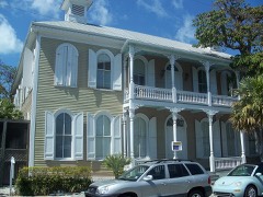
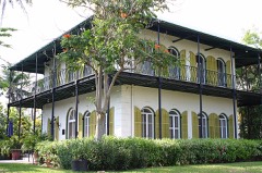
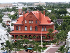
50 National Register listings published here, 6 of them National Historic Landmarks.
Sources: the National Register database, National Park Service
83 topographic sheets cover 50 settlements here, and 50 properties are on the National Register of Historic Places.
50 National Register listings published here, 6 of them National Historic Landmarks.
Sources: the National Register database, National Park Service
Every property in this county listed on the National Register of Historic Places, with the year it was listed and the federal nomination document.
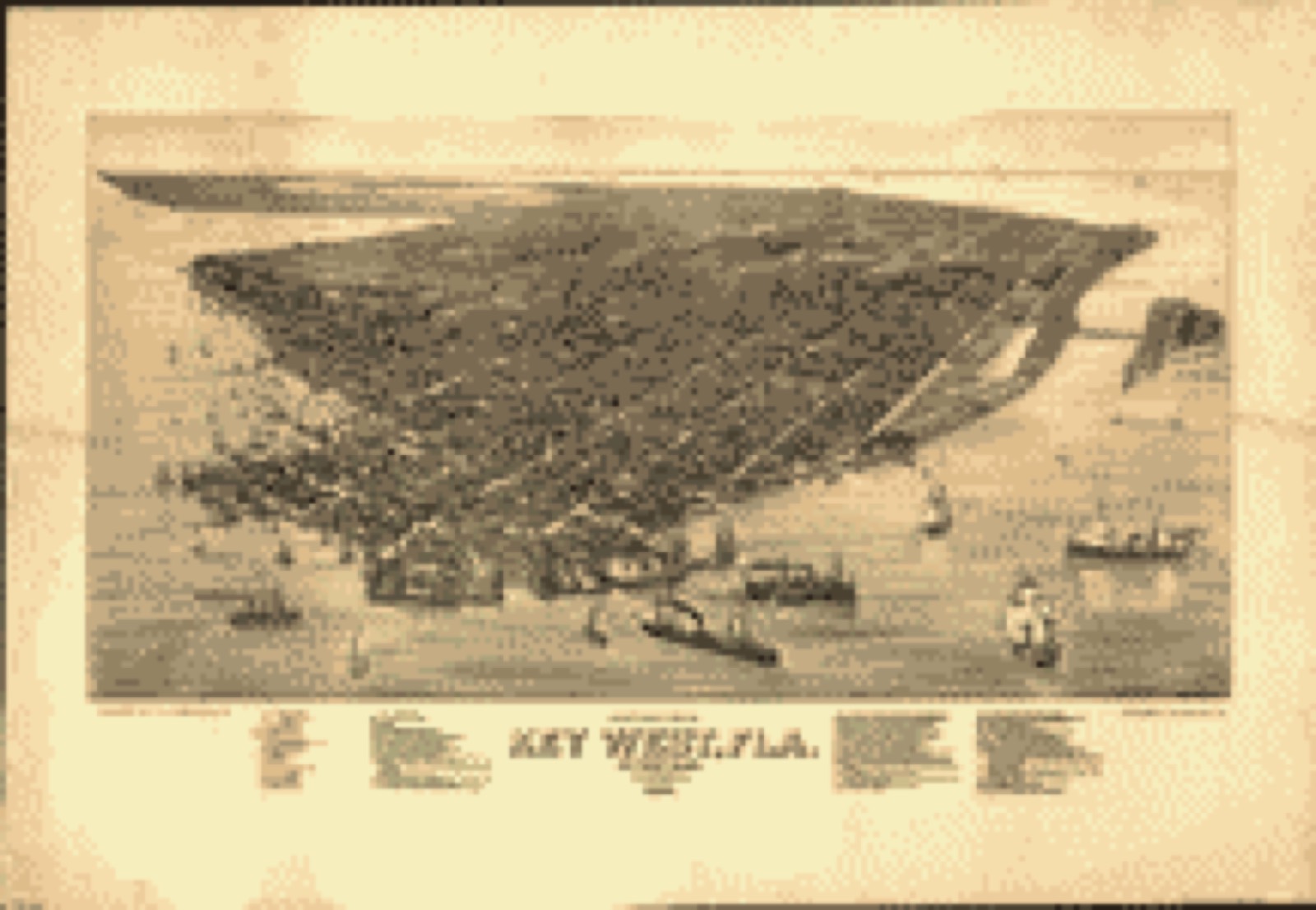
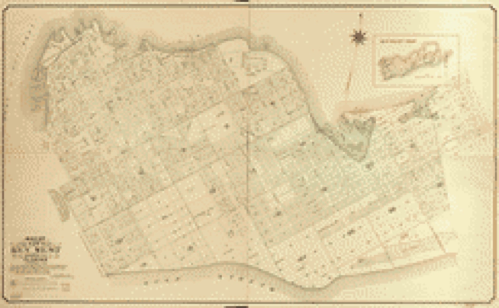
Drawn when these were printed as single large sheets: the town seen from the air, and the county divided into its farms with every owner named. Each opens the original at the Library of Congress.
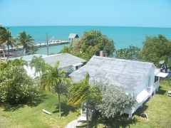
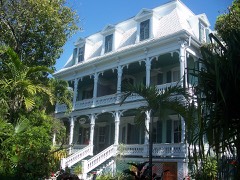
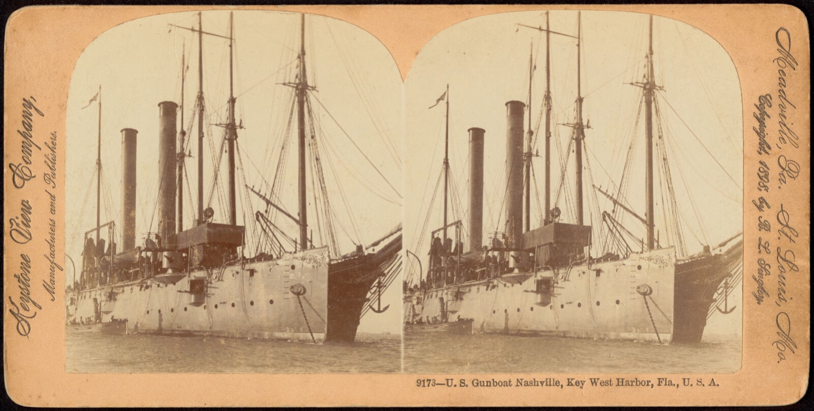
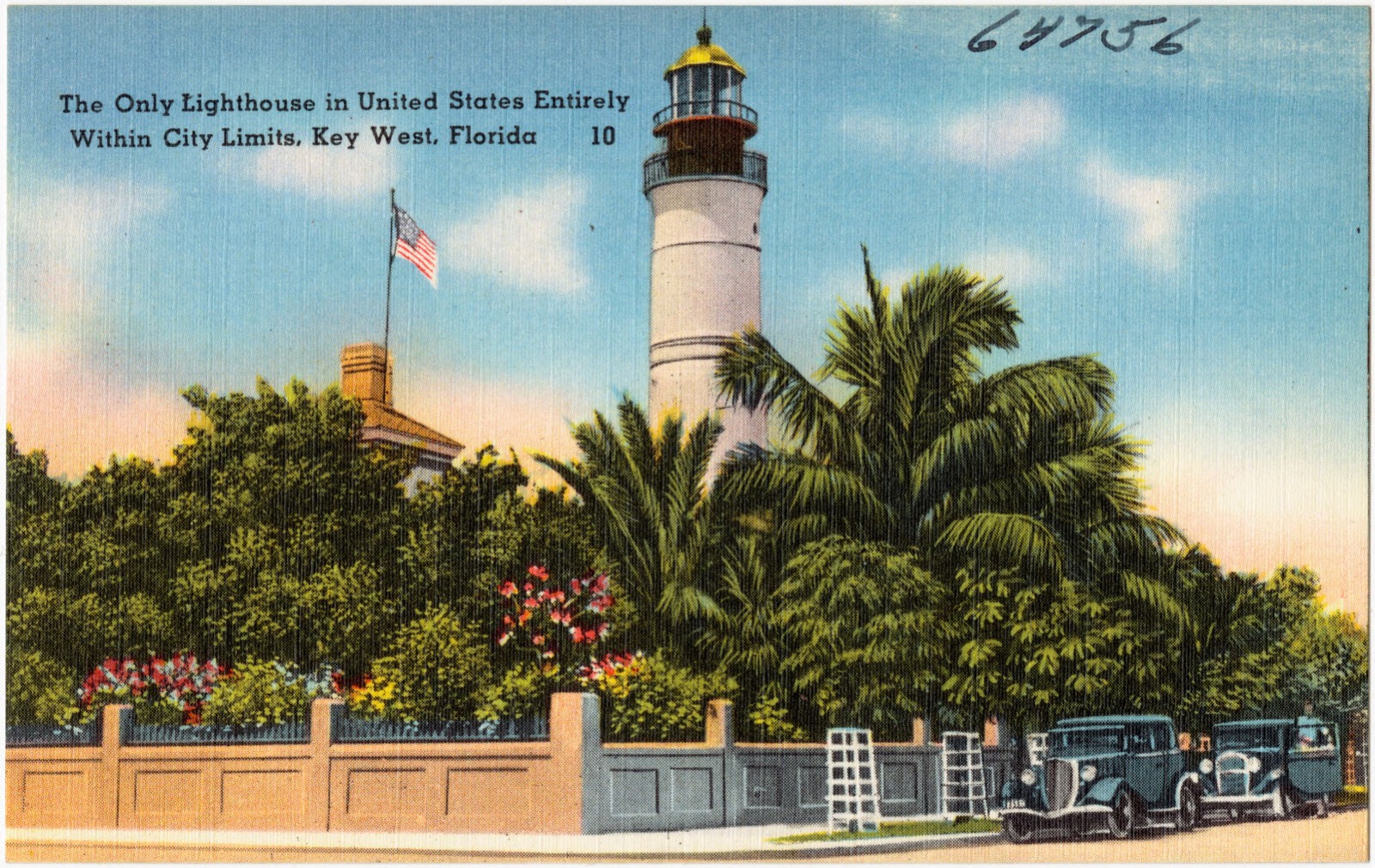
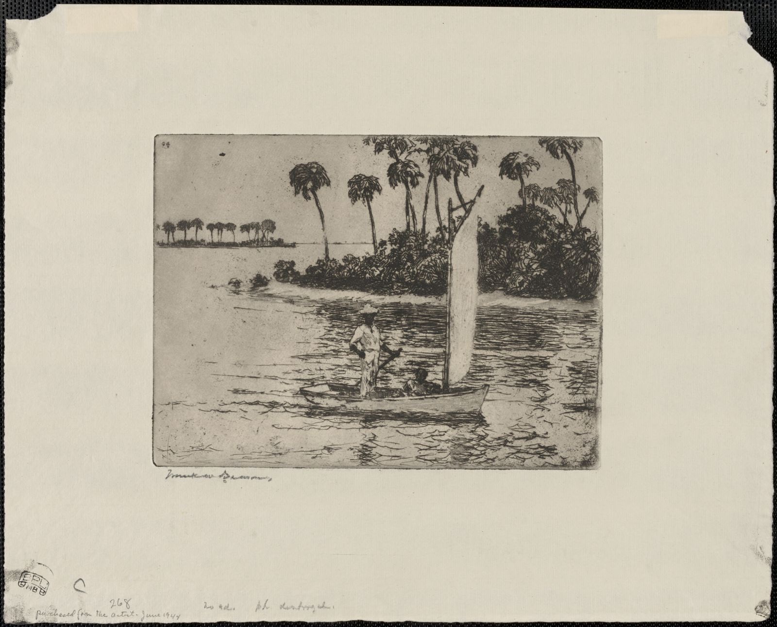
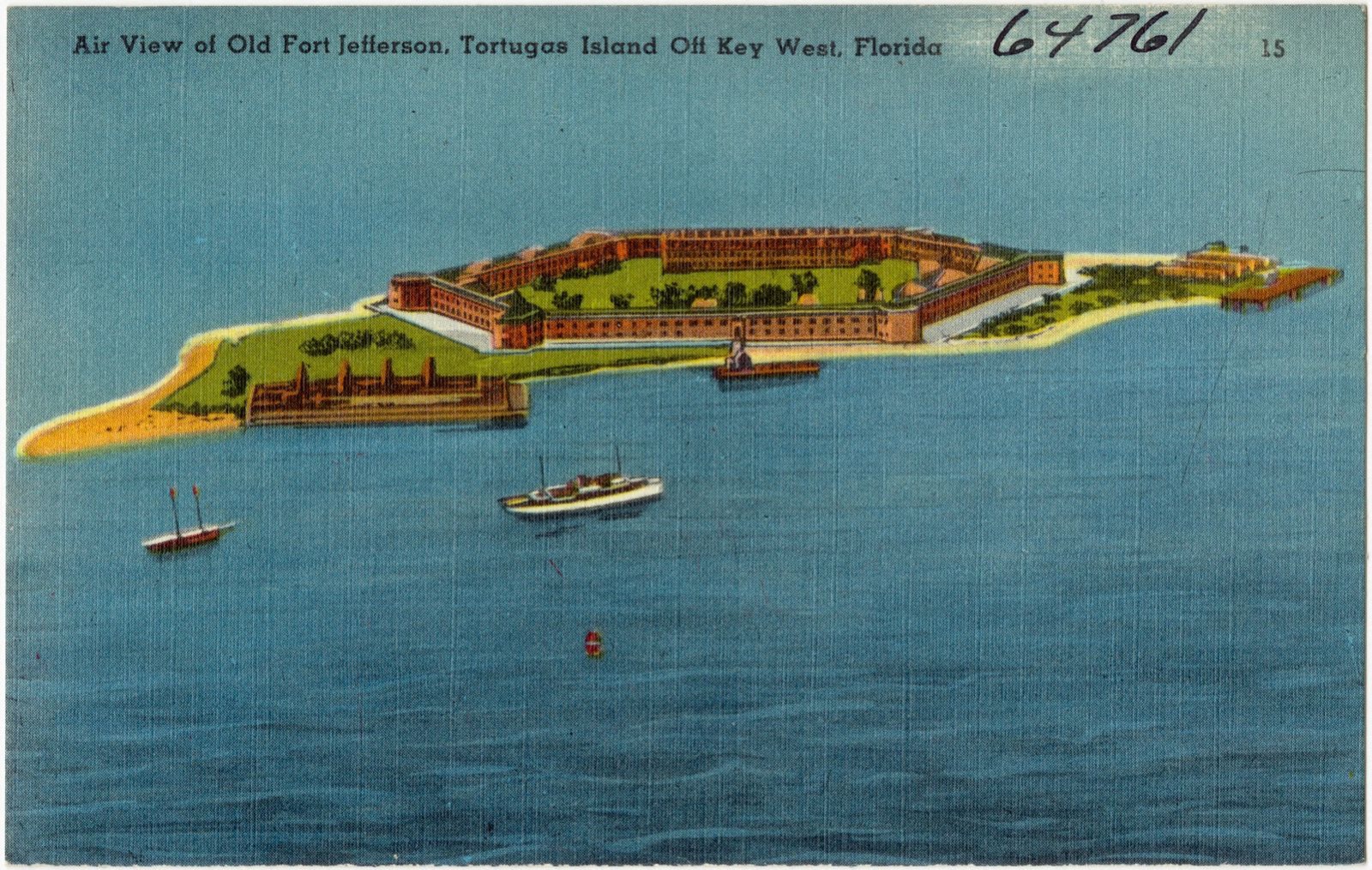
Selected from the Digital Public Library of America's 122 image records catalogued for this county. Every one shown here carries a public-domain status or a licence that permits reuse on a site that carries advertising; non-commercial, share-alike and restricted images are excluded. The selection is spread across the county's towns (at most eight per town), so no single institution's bulk upload crowds out the rest. Each opens the holding library's record, and the complete set at the Digital Public Library of America is one click away.


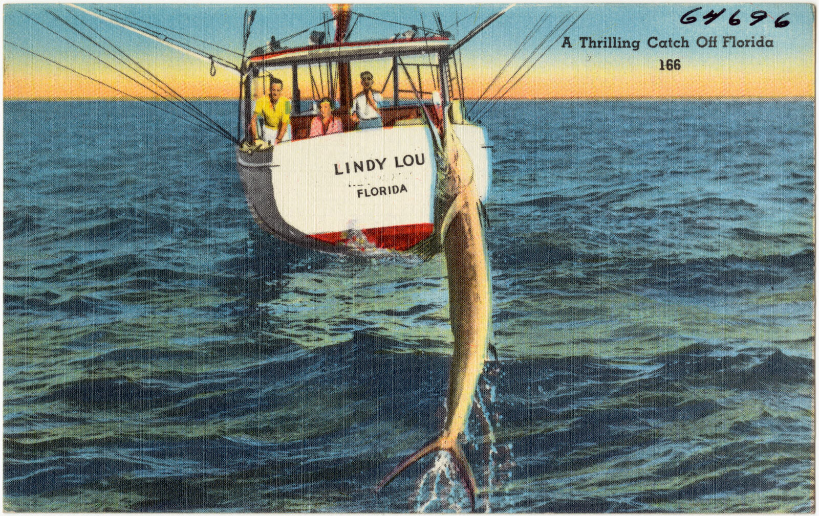
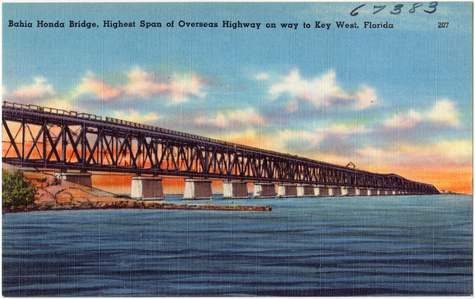
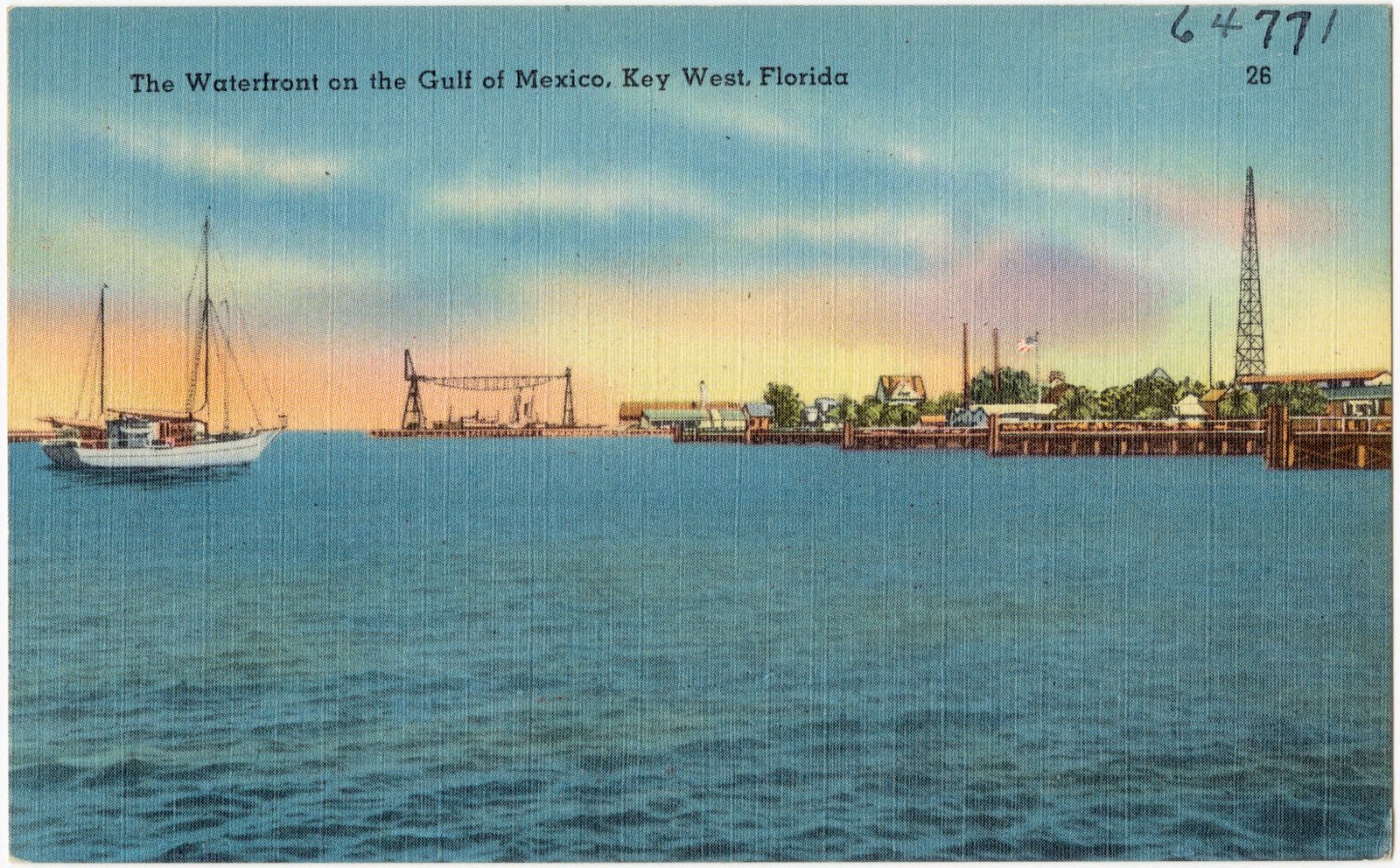
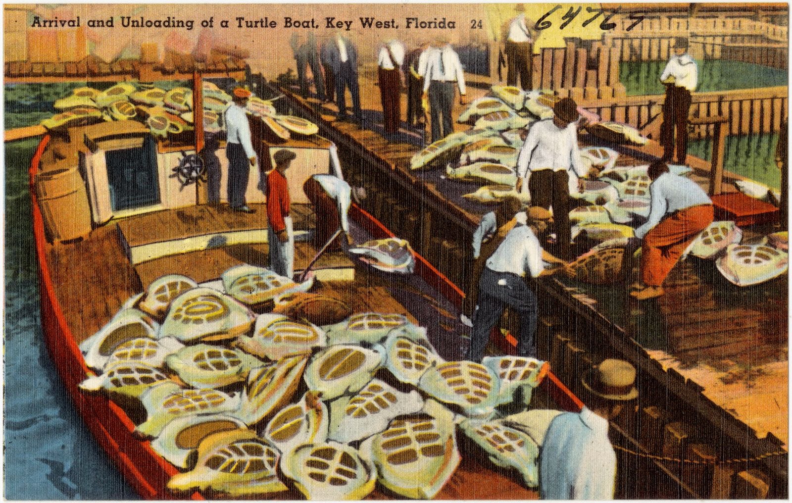



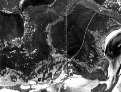
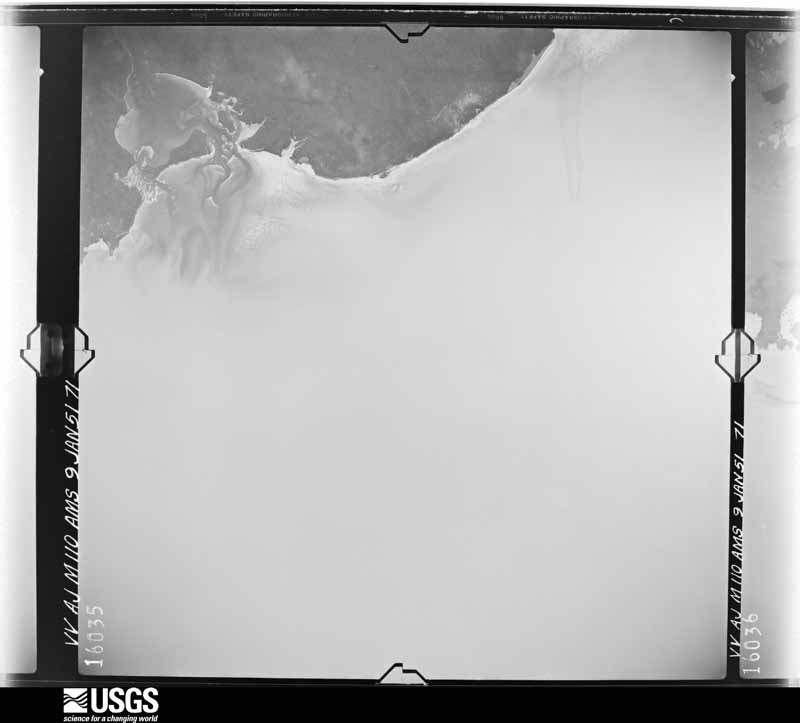
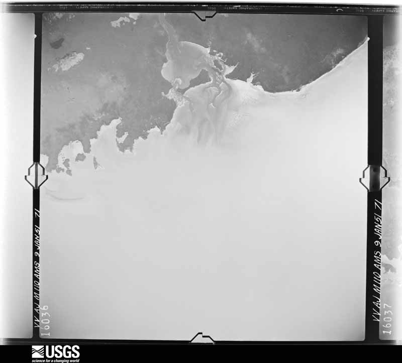
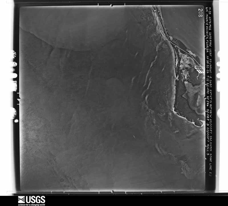
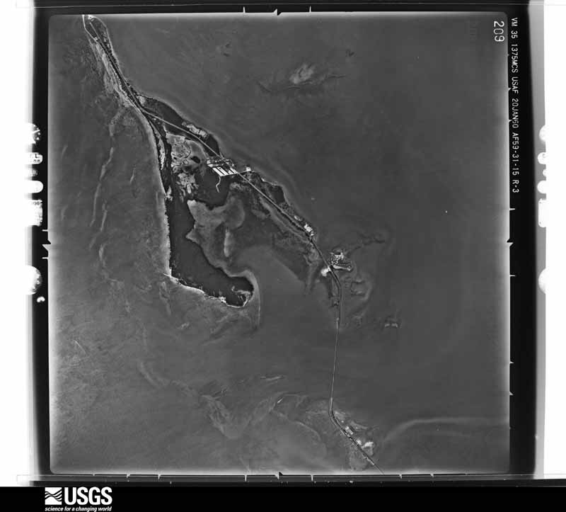
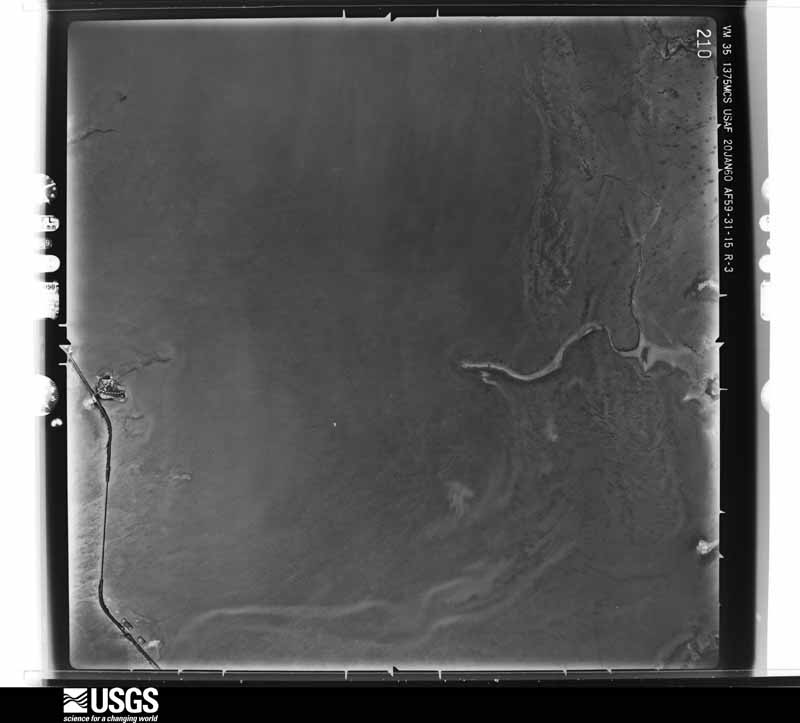
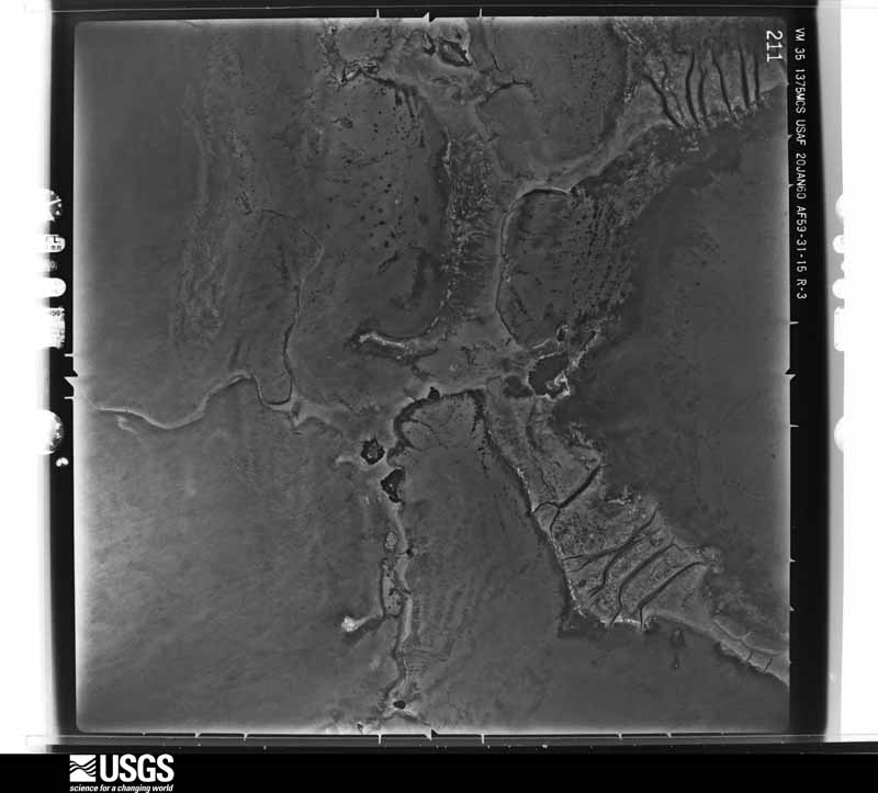
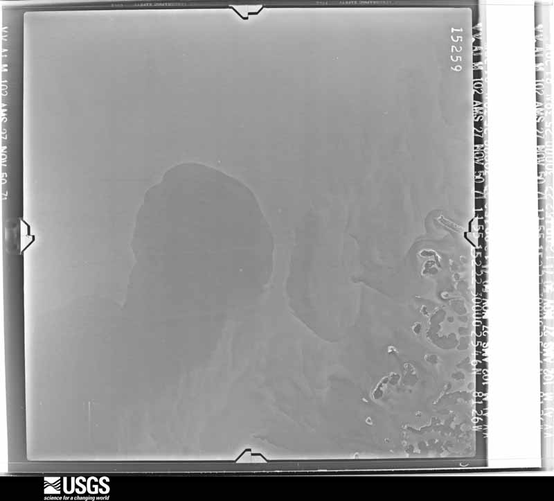
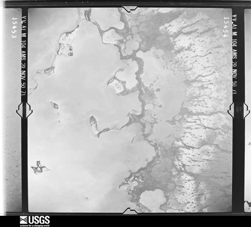
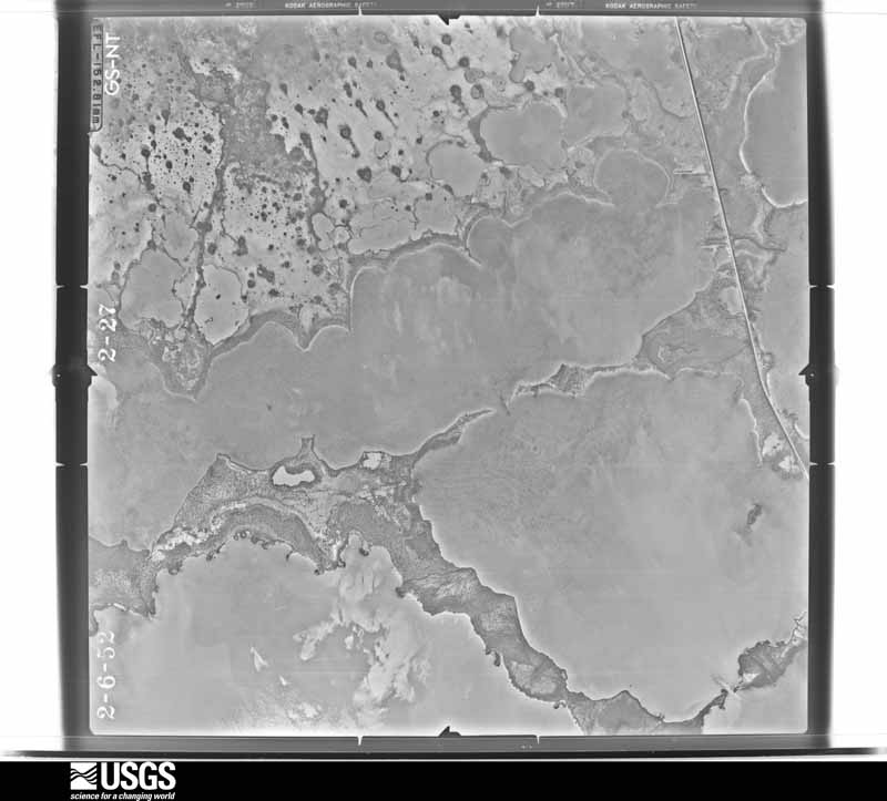
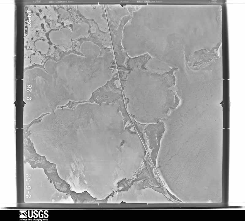
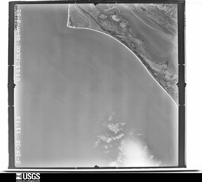
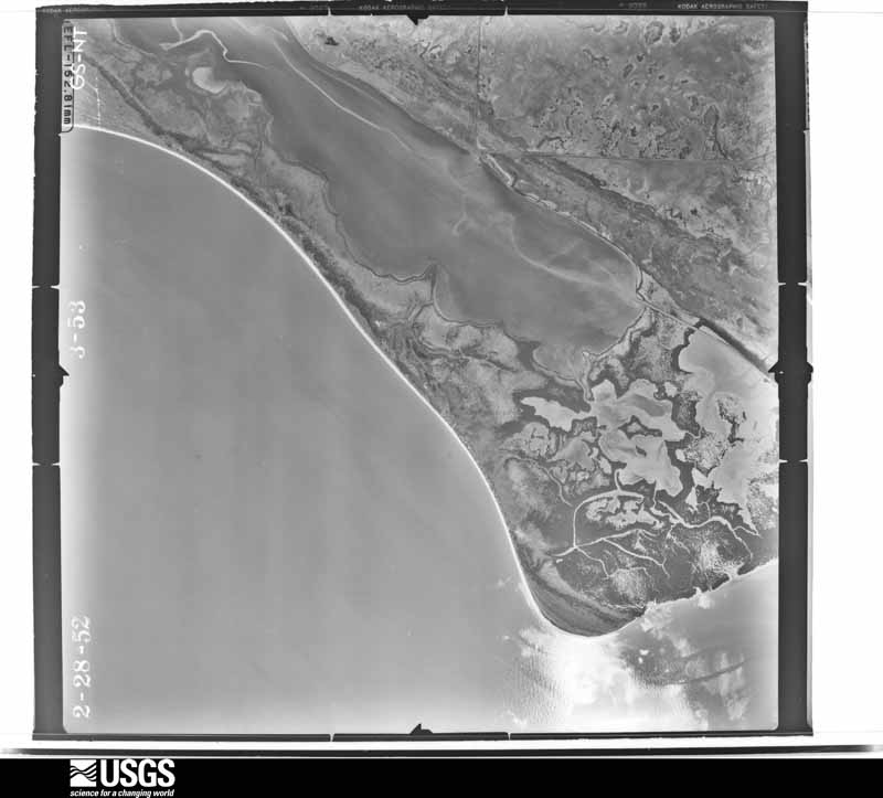
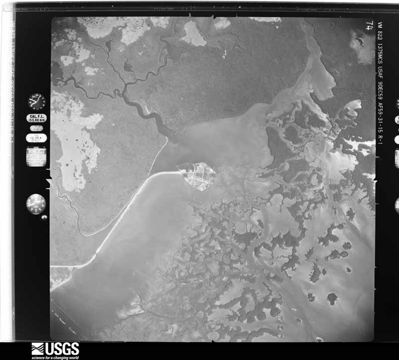
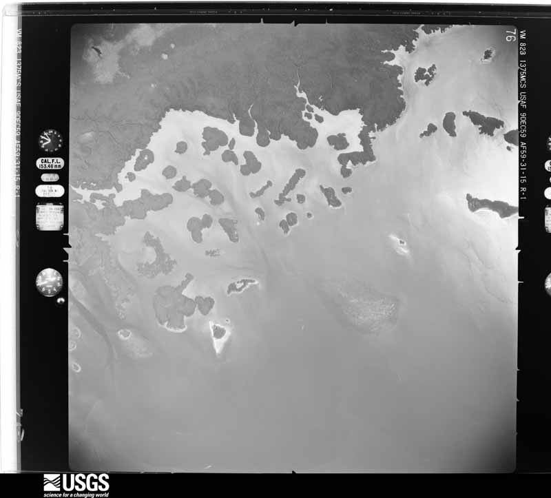
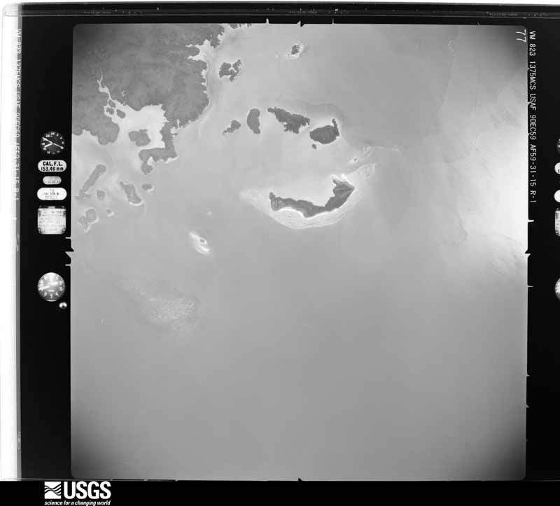
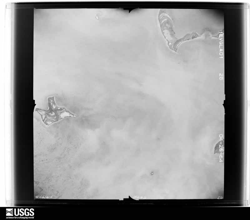
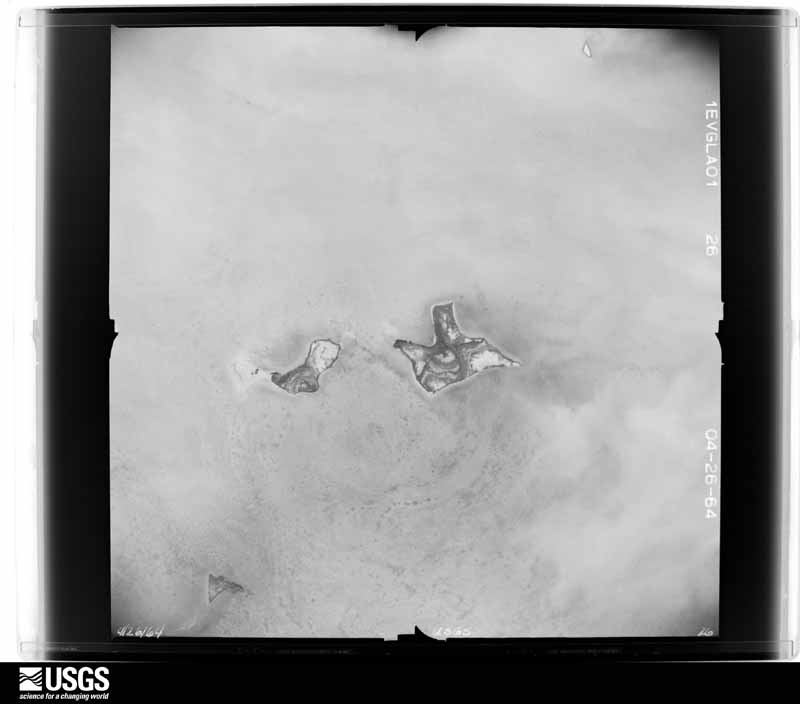
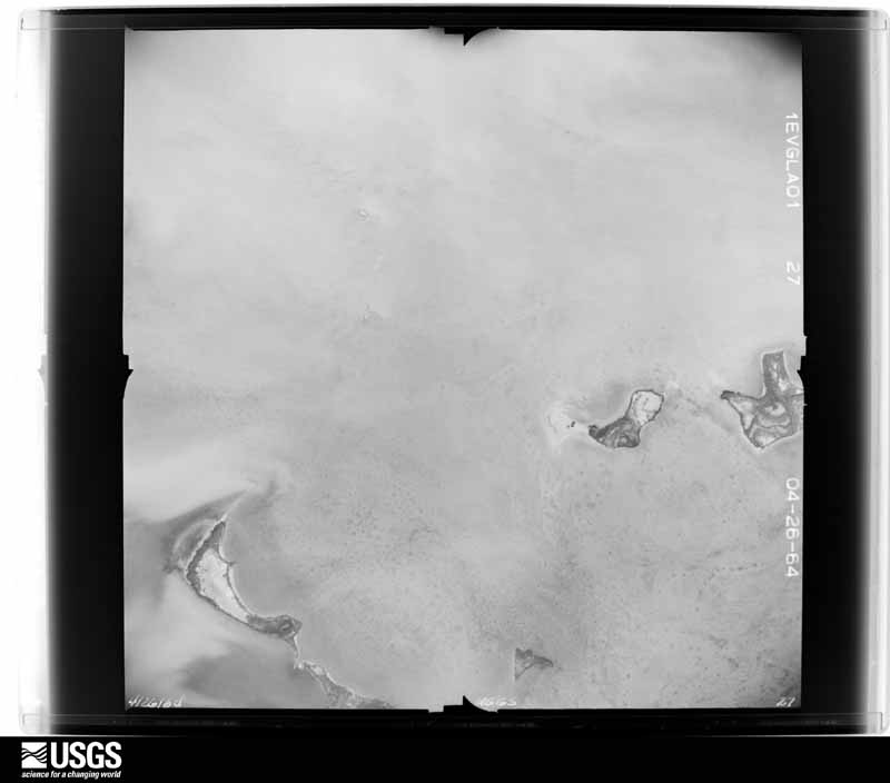
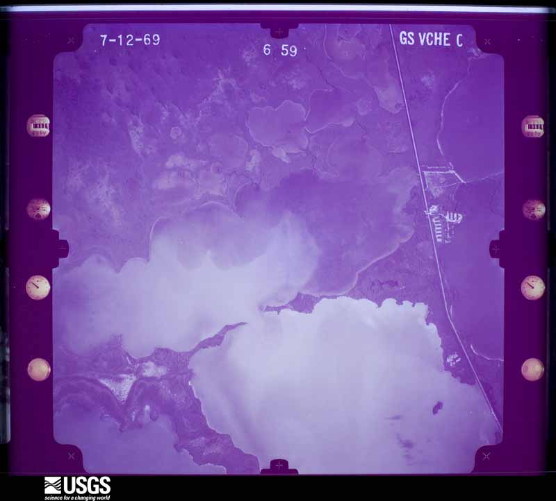
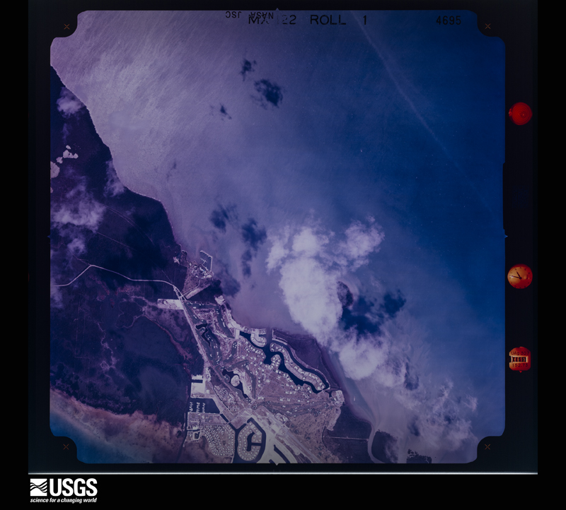
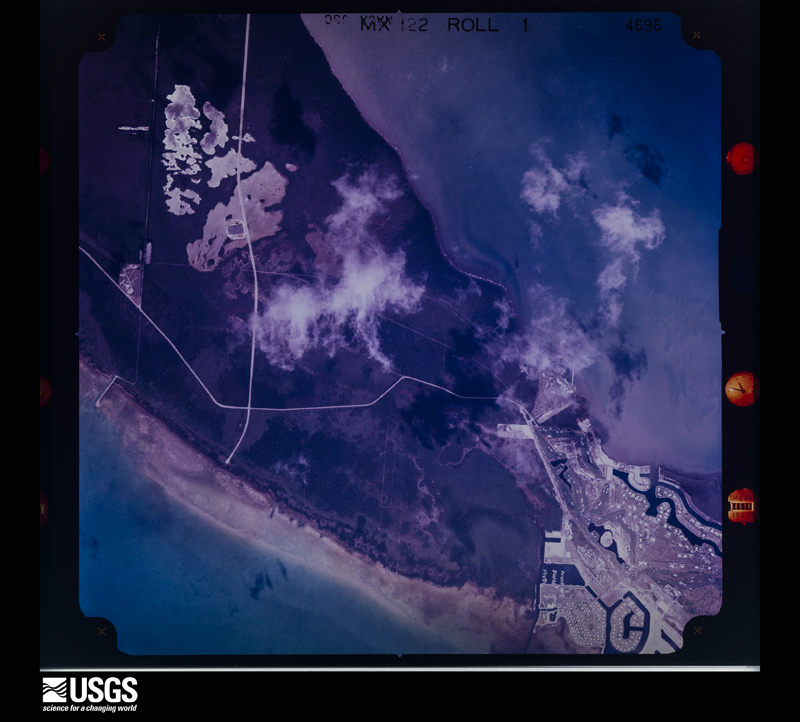
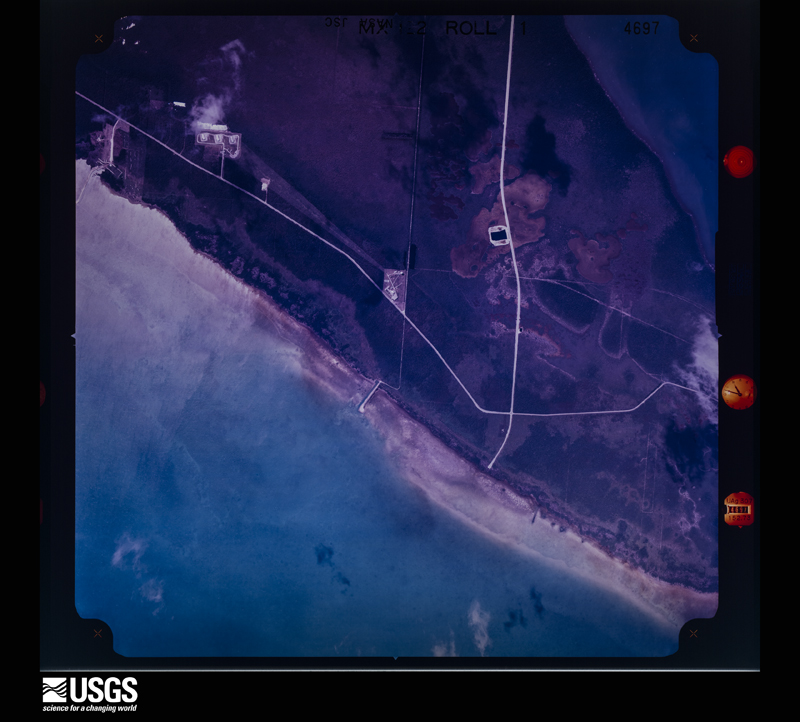
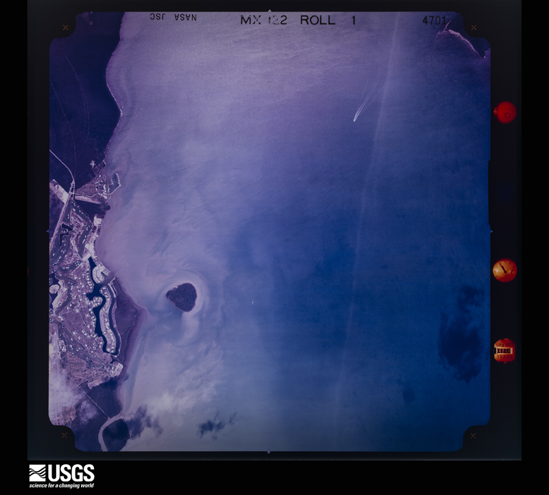
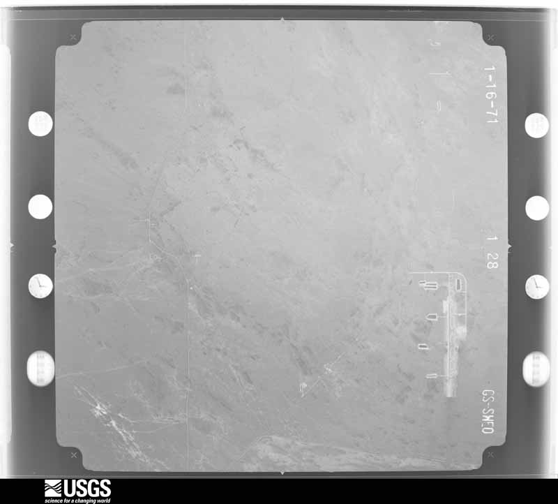
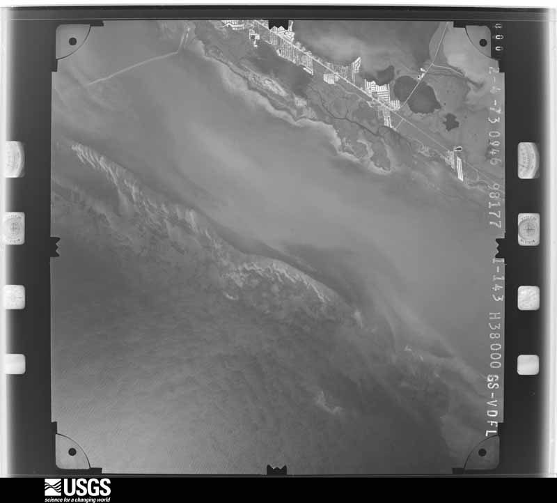
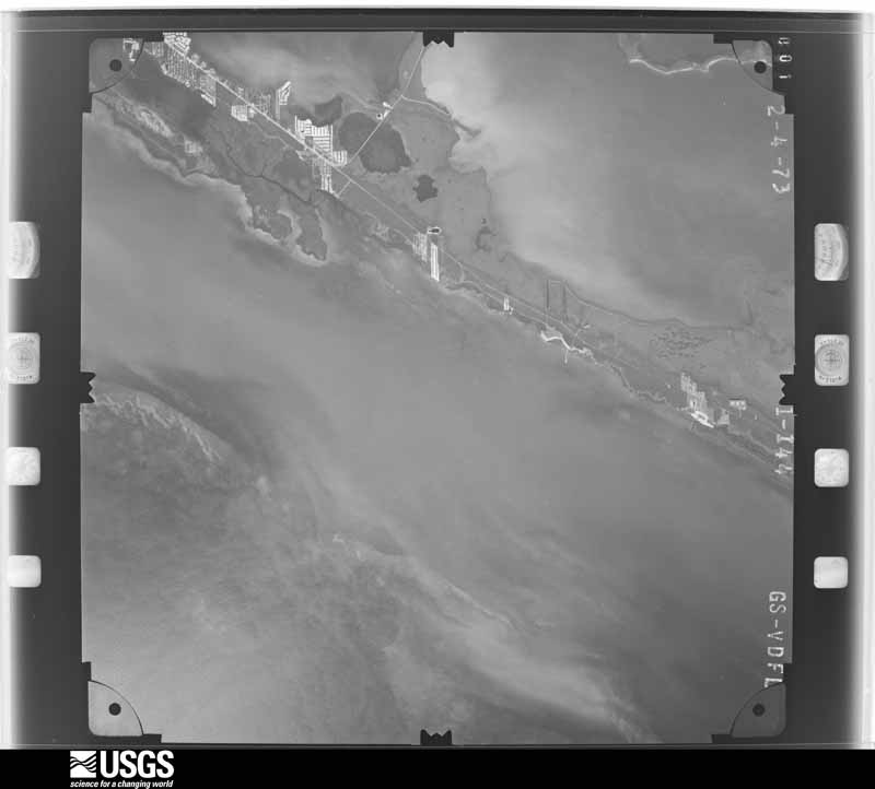
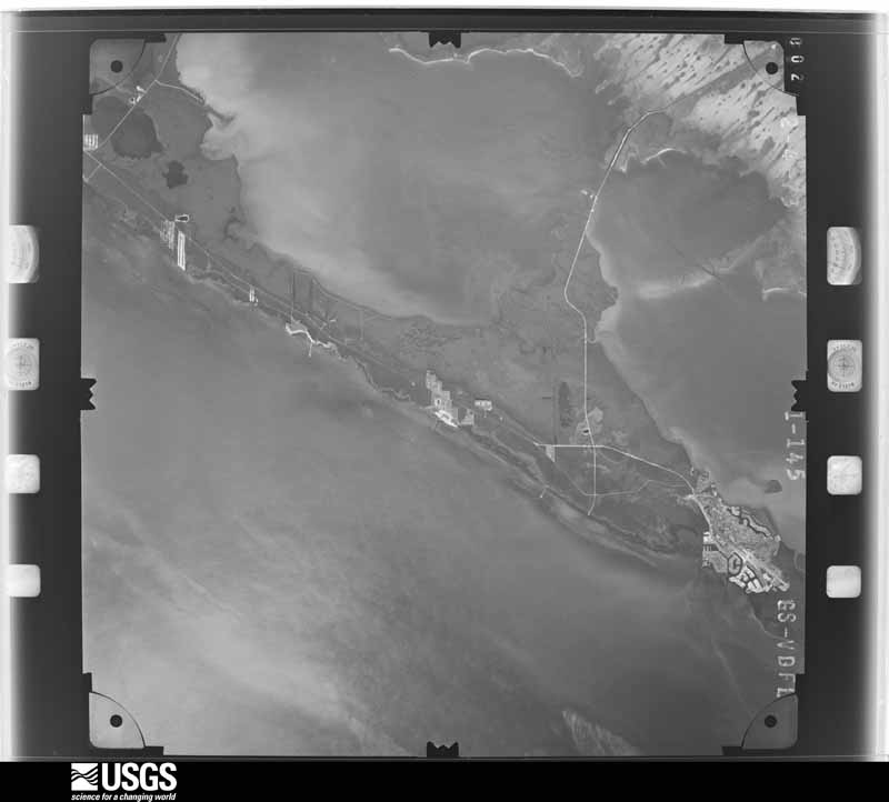
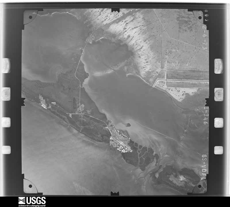
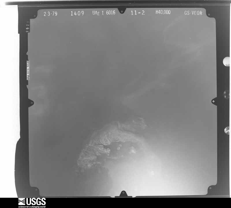
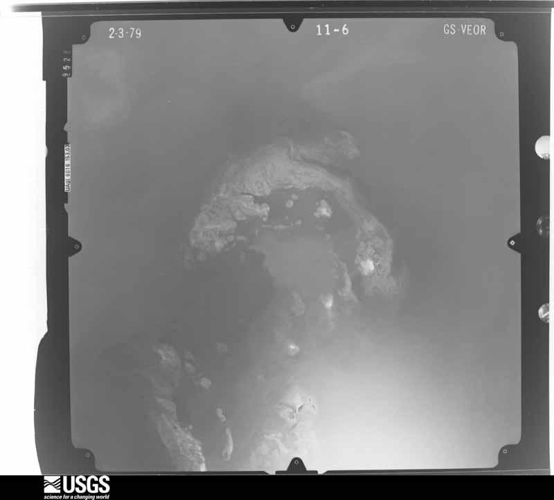
Flown by the U.S. Geological Survey between 1937 and 1989, the Aerial Photo Single Frames collection is the definitive mid-century view of the land: fields, roads and rivers as the camera saw them. The Survey holds 9,162 frames inside the rectangle that bounds this county; the 48 frames below were taken over the county itself, chosen across the decades of flights (at most four a year from that rectangle), so one flight cannot crowd out the rest. The full set is free to browse and download at EarthExplorer under the dataset Aerial Photo Single Frames.


















The thermometers that kept this county's weather, and the gages that measured the flow of its streams, as the federal records hold them. The extremes below are measured values from those records, not estimates.
Who lived here in 1950, one enumeration district at a time, as the Census Bureau described each district. Each row opens its official National Archives result, with Population Schedules and ED Maps available there.
Every wildfire the federal occurrence database records inside this county: 498 of them, burning about 82,379 acres. 190 started naturally and 36 were recorded as arson. Each settlement page carries the fires within five miles of it.
| Reported cause | Fires |
|---|---|
| Natural | 190 |
| Missing data/not specified/undetermined | 80 |
| Misuse of fire by a minor | 48 |
| Railroad operations and maintenance | 41 |
| Debris and open burning | 37 |
| Arson/incendiarism | 36 |
| Smoking | 24 |
| Recreation and ceremony | 21 |
| Equipment and vehicle use | 11 |
| Power generation/transmission/distribution | 8 |
| Fireworks | 2 |
The five largest, by the area the report gives. None of them was recorded as arson.
| Date | Cause | Size | Reported by | Name on the report |
|---|---|---|---|---|
| 7 May 2020 | Equipment and vehicle use | 25,834 acres | Big Cypress National Preserve | MOONFISH |
| 2 May 2018 | Natural | 8,389 acres | Big Cypress National Preserve | CURLEW |
| 25 May 2009 | Natural | 6,175 acres | Everglades National Park | HELLS BAY |
| 2 June 2001 | Natural | 4,134 acres | Everglades National Park | SQUAWKCRK2 |
| 9 July 2014 | Natural | 3,635 acres | Everglades National Park | ROGERS RIVER WF |
| 4 June 1999 | Natural | 3,155 acres | Everglades National Park | LOSTMAN'S |
| 10 July 2015 | Natural | 2,772 acres | Everglades National Park | 10 MILE WF |
| 25 June 2001 | Natural | 2,472 acres | Everglades National Park | ONIONKEYBY |
Every settlement page carries the fires within five miles of it - see the settlement index below.
The NOAA Storm Events Database holds 617 reports for this county, causing 1 death, 76 injuries and about $55,176,410 in recorded property damage. Each settlement page carries the reports that name it.
| Kind of event | Reports |
|---|---|
| Waterspout | 314 |
| Thunderstorm Wind | 109 |
| Tornado | 78 |
| Funnel Cloud | 53 |
| Flood | 25 |
| Lightning | 13 |
| Hail | 12 |
| Heavy Rain | 12 |
| Storm Surge/Tide | 1 |
The most serious of them, by death, then injury, then recorded damage. The accounts are quoted exactly as the forecast office filed them.
| When | Event | Place named | Harm | What the report says |
|---|---|---|---|---|
| July 1998 | Thunderstorm Wind | Marathon | 1 killed | ASOS at Marathon Airport recorded 50 knots at 1620 EDT. The C-MAN at Sombrero Key recorded 59 knots. A storm spotter estimated wind gusts of 65 knots. Signs and trees were downed throughout the Marathon area. Several boats were swamped. Five people were knocked overboard from their sailboat. Four were rescued by the USCG. A 34 year old man was found drowned two days later. |
| June 1972 | Tornado (F2) | not stated | 40 hurt, $250,000 | no account filed |
| November 1998 | Tornado (F2) | Key Largo | 20 hurt, $25,000,000 | A multivortex tornado touched down just west of U.S. 1 near mile marker 100. The tornado moved north northeast at 30 mph passing across ten housing subdivision, mostly mobile home parks. It damaged about 600 structures, tore down utility lines, damaged vessels and destroyed a great deal of foliage. The tornado crossed to the east of U.S. 1 near the intersection of Highway 905, overturning a semi tractor trailer, and continue north northeast for about six miles damaging house roofs and foliage. |
| April 1980 | Tornado (F2) | not stated | 10 hurt, $250,000 | no account filed |
| June 1966 | Tornado (F2) | not stated | 1 hurt, $25,000 | no account filed |
| June 2013 | Lightning | Stock Is | 1 hurt | A police officer was injured when his motorcycle was struck, possibly indirectly, by lightning. It was unknown whether the original lightning strike was to a utility pole or directly to the right-hand handlebar of the motorcycle. The officer was waiting at a traffic signal at Palm Avenue and North Roosevelt Boulevard while returning to the Key West Police Station in order to switch to his assigned car after hearing thunder. The officer experienced a significant jolt which threw his right arm backward, causing a shoulder injury. The officer remained conscious and was able to call for rescue service using his own radio. The officer was admitted for overnight observation and medical testing and did not receive any burns from the lightning strike. The officer was released shortly thereafter and was expected to return to duty soon. |
| July 2009 | Lightning | (Eyw)Key West Inl Ar | 1 hurt | Lightning struck a palm tree near the entrance to White Street Pier in Key West. The bolt passed from the tree to a 19-year-old male. The strike survivor remained conscious and was treated at Lower Keys Medical Center for minor injuries. |
| August 2001 | Lightning | Islamorada | 1 hurt | Female injured by lightning during a thunderstorm. She was touching a stainless steel counter of the restaurant she worked at when she was struck. She worked at the Islamorada Fish Company. |
| July 2000 | Lightning | Key West | 1 hurt | Lightning struck a boat just west of Key West. 5 people were knocked out of the boat with one person injured with burns. |
| July 1997 | Lightning | (Nqx)Key West Nas | 1 hurt | lightning struck a male on cudjoe key. he received severe burns and was taken to the key west hospital. |
| February 1998 | Tornado (F1) | Marathon | $20,000,000 | Tornado moved from south across Grassy Key near MM 56.5. |
| August 2005 | Tornado (F2) | Marathon | $5,000,000 | Tornado damage path began oceanfront at 73rd Street Ocean (F1) in Marathon and moved northeast, crossing U.S. Highway 1 near 76th Street Ocean, passing through Marathon Airport before entering Florida Bay near the Sea Air Estates Subdivision. Most signficant damage (F2) included concrete block residential structure shifted on foundation...a frame residence shifted on pilings, and bent large steel I-Beams on recently constructed hangars at Marathon Airport. One boat sunk in canal. Extensive damage to porches and trees along narrow path. |
| June 1983 | Tornado (F1) | not stated | $2,500,000 | no account filed |
| October 1987 | Tornado (F1) | not stated | $250,000 | no account filed |
| June 1986 | Tornado (F1) | not stated | $250,000 | no account filed |
| June 1982 | Tornado (F1) | not stated | $250,000 | no account filed |
| June 1972 | Tornado (F2) | not stated | $250,000 | no account filed |
| May 1997 | Tornado (F1) | Mm58.5 Grassy Key | $150,000 | no account filed |
| September 2008 | Tornado (EF1) | Craig Key | $120,000 | A violent waterspout associated with a supercell made landfall as a tornado in Lower Matecumbe Key at Sunset Drive and moved northwest, crossing U.S. Highway One and then along Palm Drive through a residential section near Mile Marker 74 on the Overseas Highway. The tornado damage path ended on Buttonwood Lane before reaching Florida Bay. Most damage was to deck railings, screens, windows and soffits on numerous homes. A few homes displayed more significant damage, including penetration through exterior doors and walls, with one home losing 50 percent of its roof decking. The EF1 rating with estimated maximum wind speeds of 90 to 100 mph was based on roof damage to a residence along Palm Drive. Debris from sheet metal paneling and mangrove branches may have contributed to a major power outage throughout all of the Keys from Islamorada through Key West as it was carried across U.S. Highway One and a major electrical transmission line. |
| November 1998 | Tornado (F1) | Islamorada | $100,000 | A tornado moved ashore from the Straits of Florida into the middle Keys near mile marker 80. It travelled in a northeast direction crossing to the west side of U.S. 1. Damage occurred to the roof of a motel and to trees, fences and power lines. |
| February 2024 | Tornado (EF0) | Summerland Key | $75,000 | A waterspout was observed by resident video of a |mature waterspout passing just to the north of the southern end of |Cudjoe Key, entering Cudjoe Bay on a northeast path. The waterspout |made landfall in a residential section along Cudjoe Bay near Spanish |Main Drive and moved through the Venture Out residential community of mixed single |family and manufactured residences. The EF0 rating is based on tree |damage including snapped hardwood branches and a healthy palm trunk |roughly 15 feet above the ground. The top portion of the tree fell |onto a manufactured residence with major wall damage and release of |numerous roofing panels deposited as far as 300 yards to the |northeast. Siding was removed from several residences. The tornado |exited the northeast portion of the community and traveled over the |western portion of Kemp Channel, before crossing U.S. Highway One |just west of the Kemp Channel Bridge. A small hardwood tree and |several large hardwood limbs were downed to the north just west of |the western bridge abutment. Maximum winds near 85 mph were estimated at the Venture Out community with a patch width near 120 yards. ||The continuing waterspout observed by resident video of a |mature waterspout approaching the western shore of Big Torch Key |from Niles Channel approximately 2.5 miles north of the Niles |Channel Bridge. The waterspout made landfall as a tornado north of |Osprey Lane and moved northeast, crossing Dorn Road about three |miles north of U.S. Highway 1. Numerous large hardwood branches |were broken off from area trees with a lightweight residential |amenities deposited along a narrow path about 125 yards to the |northeast. No assessment could be made further northeast due to |dense mangrove marshland as the tornado moved toward the northern |portion of Pine Channel. Maximum winds were estimated near 75 mph with a path width of about 80 yards on Big Torch Key. |
| June 2005 | Thunderstorm Wind | Marathon | $60,000 | Thunderstorm winds estimated at 60 to 70 mph blew down a large billboard on top of permanent shelter canopies at the Marathon Municipal Skate Park. Large tree blown down at Monroe County Sheriffs Office, an 80-foot guy-wired communications antenna snapped at a level 20 feet above the ground, and a 30-foot-tall 4-foot diameter rubber tree was uprooted and damaged the corner section of a roof of a day care center. |
| November 1998 | Tornado (F0) | Rock Harbor | $50,000 | A tornado touched down just west of U.S. 1 near mile marker 98. Damage occurred to the roof of a house and to foliage. |
| April 1995 | Tornado | Tavernier | $50,000 | A waterspout moved ashore from the ocean-side into Tavernier at mile marker 92.5. Trailers in the Sherill Park Mobile Home subdivision suffered $50 thousand damage and several boats suffered minor damage. |
| July 2012 | Lightning | (Eyw)Key West Inl Ar | $40,000 | A duplex residence was severely damaged when struck by a positive-polarity lightning bolt. Lightning struck the ground near an exterior Jacuzzi in a side yard, near the front corner of the structure. The lightning strike left a hold in the ground roughly 2 feet by 2 feet by 18 inches deep. A ground rod and wire was installed for the Jacuzzi but not attached. The charge followed the exterior power conduit to an exterior junction box, where the box's cover was blown free. Wires were charred, the conduit destroyed. The residence's washer/dryer electric supply was charred. The electric meter box exploded according to the responding fire unit, with wires charred and burned and all connections melted. In the front of the residence, wood was charred under metal screws securing the exterior soffit. Aluminum frames for glass jalaousie windows in the front of the residence were melted with windows knocked out. Light bulbs in various locations throughout the residence were blown, including the bedroom lamps and ceiling fixture, bathroom wall fixture, and kitchen ceiling light fixture. The bathroom mirror was shattered. The residence was declared unfit for occupation due to damage to the electrical system, although no fire resulted. Keys Energy Services replaced a blown fuse for a transformer serving the residence, and three other residences had tripped circuits but no permanent damage was reported. The struck residence was occupied by one female at the time of the strike, who was observed by rescue personnel to not have any injuries. |
| April 2013 | Tornado (EF0) | Big Pine | $30,000 | A waterspout was observed by the public, backlit by frequent lightning strikes approaching long beach estates from the west-southwest, passing to the south of the Newfound Harbor Keys. The waterspout moved ashore along the oceanside of Long Beach Drive and passed over the public observer's property, a bed-and-breakfast inn. It was at this landfall location that the tornado was at its maximum intensity and width of about 80 yards. Widespread damage to large limbs of native hardwood trees occurred, and one royal palm snapped at a level above 15 feet. A ground deck with four kayaks became airborne with the dock dropped within mangroves beyond 30 yards from the original location. A large unmounted above-ground cistern containing nearly 200 gallons of water slide just over 15 yards, knocking a large camping trailer off its front mount. Bolts securing a large grill to wood ground decking were sheared off. While numerous tables and lounge chairs were carried to the leeward side of the property, one 40-lb steel lounge chair was lifted to the edge of the roof line of the two-story residence, crushing the rain gutter, before settling in the lee of the structure. Small gravel and pea rock along the waterfront caused moderate to severe paint chipping on the oceanside of several homes. Screens including their wood frames were torn off several residences' oceanside porches, with one home losing about 40 percent of its oceanside vinyl siding. A phone line was downed along Long Beach Drive. ||The tornado continued across mud flats along the southeast edge of Coupon Bight, where only isolated damage to mangrove branches was observed. Small limbs were observed downed across Long Beach Drive between Southeast Point and U.S. Highway 1, eventually crossed through a campground just south of the Spanish Harbor Channel Bridge. Several tents including one large aluminum-framed dome tent strucutre were overturned before the tornado likely passed into Spanish Harbor Channel. The intensity of the tornado at Spanish Harbor Channel had decreased since its original landfall with estimated winds near 60 mph. |
| November 2009 | Thunderstorm Wind | Marathon | $30,000 | Severe wind gusts out of the north northeast spread out of the east end of Boot Key Harbor. Three small vessels, including one trimaran, were overturned. A vessel docked at Dockside Marina measured a wind gust in excess of 100 mph at mast level. An outdoor canopy secured by heavy tube steel framing was destroyed at a restaurant. A tent was also carried into power lines, causing a power outage to most of the Sombrero Country Club and Sombrero Beach area. |
| September 2008 | Tornado (EF0) | Upper Key Largo | $25,000 | Tornado touched down on Atlantic side of U.S. Highway One and moved toward the northwest. The tornado caused minor damage to facia on a business on the bayside of U.S. Highway One, then moved into a residential area. One residence with two broken windows, and another residence had an exterior wall penetrated with a 2x4 carried from over 250 yards away from a home under construction. Several trees and large limbs downed. Estimated maximum wind speed 60 to 70 mph. |
| March 1984 | Tornado (F0) | not stated | $25,000 | no account filed |
| June 1982 | Tornado (F0) | not stated | $25,000 | no account filed |
| June 1982 | Tornado (F0) | not stated | $25,000 | no account filed |
| August 1978 | Tornado (F0) | not stated | $25,000 | no account filed |
| June 1972 | Tornado (F1) | not stated | $25,000 | no account filed |
| June 2022 | Flood | Upper Key Largo | $20,000 | Localized street flooding was observed in several neighborhoods in the Key Largo through Tavernier areas of the upper Florida Keys. In addition, a few boats on lifts with drain plugs left in were damaged or dropped into local canals due to the weight of accumulated rainfall onboard. |
| November 2009 | Thunderstorm Wind | Marathon | $20,000 | Significant damage to trees was noted along the back nine of the Sombrero Country Club, with lose objects and lawn furniture tossed from under stilted homes into Boot Key Harbor. No damage was observed to roofing materials, doors or windows. |
| June 2007 | Tornado (EF0) | Sugarloaf Key | $20,000 | A tornado touched down at 1155 EST June 1st along Mira Road on Sugarloaf Key, downing a 30-foot Ficus tree, damaging a screen porch and scattering loose items stored underneath an elevated home. The tornado likely had an intermittent north northwest path partially over water, before damging a home on Hawksbill Road along the northeast portion of Sugarloaf Key. An enclosed patio along the back portion of the home had been destroyed, allowing metal covering to peel back on roughly one third of the home. No other homes were damaged, including one across a canal directly in the path of the tornado. Therefore it was concluded the the roof covering failure without any wood roof decking failures occurred due to the failure of the light wood porch. Heavy rain was noted which also may have caused excessive loads on the screens, contributing to porch failure. Therefore the maximum damage rating for the entire event was set at EF0. |
| October 2007 | Lightning | Tavernier | $20,000 | Lightning struck the cupola of an unoccupied large oceanfront home in Plantation Key. The strike caused a small fire and damaged plumbing within the roof structure of the home. |
| April 1996 | Thunderstorm Wind | (Eyw)Key West Inl Ar | $20,000 | no account filed |
| April 2010 | Tornado (EF0) | Key Largo Pt Arpt | $15,000 | A waterspout accompanying a line of severe thunderstorms moved onshore the Florida Bay side of Key Largo at the Marriott Florida Bay Resort. A tree was blown down blocking part of U.S. Highway 1 in front of the hotel. An outdoor day spa consisting of a thatched roof and bamboo shutters and interior mirrors was destroyed. Weighted deck loungers were blown across the pool deck and significant landscaping damage occurred on the waterfront side of the hotel. The tornado quickly dissipated over U.S. Highway 1, and was likely a non-supercell spawned waterspout. Estimated maximum winds were near 70 mph. |
| July 2000 | Tornado (F0) | Big Pine Key | $15,000 | Waterspout moved onshore along the south end of Big Pine Key. Damaged a bed and breakfast Inn. |
| June 1998 | Tornado (F0) | Key West | $15,000 | Funnel cloud moved onshore and lowered resulting in a F0 tornado. The tornado moved along 10th ST between North Roosevelt Ave and Flagler Ave. Tree were toppled...roofs and awnings were damaged...powerlines were downed and a shack was tipped over. |
| June 1995 | Tornado | Marathon | $15,000 | A waterspout, travelling toward the west southwest, moved ashore near Marathon Airport. The tornado jumped highway U.S. 1 then descended on Sombrero Boulevard. The tornado moved offshore into Boot Key Harbor before dissipating. Fences and small trees were blown down and several vehicles suffered minor damage at Sombrero Key Resort and Country Club. A dinghy was destroyed when it was lifted into the air, over telephone lines, then dropped to the ground. |
| September 2020 | Flood | Stock Is | $10,000 | Key West Police Department reported numerous streets impassable due to flooding with stalled vehicles, including the Triangle (U.S. 1 and Roosevelt Boulevards), South Roosevelt and New Town neighborhoods along Northside Drive through Flagler Boulevard, and near Flagler and 5th Street. Flooding later expanded to include the Bertha Street and Atlantic Boulevard neighborhoods, flooding a resident to a depth of 6 inches on Atlantic Drive. |
| March 2011 | Thunderstorm Wind | Tavernier | $10,000 | Strong thunderstorm winds destroyed a permanent steel-framed canopy at a restaurant. a free-standing wood-framed fruit stand was overturned and splintered. A wood utility-grade sign pole snapped at the base. Power Outages to approximately 200 customers occurred in Tavernier, along with hail up to one half inch (0.50) in diameter. |
| October 2011 | Flood | Stock Is | $10,000 | Street flooding of 3 to 4 feet deep was reported at the corners of White and Eaton Streets and Caroline and Margaret Streets in Old Town Key West, as well as at Donald and 20th Streets in New Town Key West. Several cars were stranded due to street flooding along South Roosevelt Boulevard between the Overseas Highway and Flagler Avenue, as well as near 1st Street and North Roosevelt Boulevard. Isolated low elevation home flooding was observed in Mid Town Key West along Fogarty Avenue. |
| September 2010 | Flood | Craig Key | $10,000 | Heavy rainfall caused extensive street flooding over Lower and Upper Matecumbe Keys within the Village of Islamorada. Water entered one home on Lower Matecumbe Key, causing one family to be temporarily displaced. |
| December 2009 | Tornado (EF0) | (Eyw)Key West Inl Ar | $10,000 | A weak tornado produced EF0 damage across the extreme southeast part of Key West through south Stock Island. The tornado was first observed by a motorist just offshore South Roosevelt Boulevard before moving briefly onshore at a hotel. Over a half dozen palm trees with some decay were snapped at the base. Lawn furniture associated with the hotel's tiki hut north of the tornado path were blown southeast onto South Roosevelt Boulevard in the torando's wake. The tornado tracked northeast across Cow Key Channel before moving ashore south Stock Island along 12th Avenue. Two trees were downed onto 12th Avenue in a northeast direction. A deck umbrella was lofted northeast from the east end of 11th Avenue onto power lines on 5th Street, bringing down the lines and causing a power outage throughout the area. The tornado continued northeast and likely lifted or dissipated over 5th Avenue northeast of Bernstein Park. There, a small ornamental tree was found snapped at the base and laying toward the west partially onto 5th Street. Several trash cans placed around Bernstein park had fallen and rolled southward or southeastward. At the tornado path northeast terminus, a television cable line was downed. Maximum winds were estimated at 60 to 70 mph along the path from Key West through 11th Avenue in Stock Island. |
| November 2018 | Lightning | Ramrod Key | $7,500 | Lightning struck a residence along Barbados Lane on Ramrod Key, resulting in roof and electrical system damage. A neighboring residence also experienced electrical system damage. Report relayed by social media. |
| June 2007 | Thunderstorm Wind | Ocean Reef | $7,000 | An emergency management official reported strong thunderstorm winds had knocked down several trees and power lines on Marina Drive in North Key Largo. |
| May 2013 | Flood | Stock Is | $5,000 | Flooding was reported in the Old Town Historic District of Key West, including up to two feet of flood depth at the corner of Front and Simonton Streets, at Duval and Greene Streets, and up to three feet in depth at Duval and Front Streets. Up to 7 inches of rain was measured at the Key West Wastewater Treatment Plant on the south end of Fleming Key. Several businesses had water inundation to around 6 inches in depth. |
| December 2009 | Tornado (EF0) | Key Largo Pt Arpt | $5,000 | The NWS investigated a newspaper report of a tornado at Key Largo, and found the same supercell which spawned a weak tornado in the Lower Florida Keys also caused a short-lived weak tornado near Mile Marker 104 of the Overseas Highway. The tornado produced minor damage with some outdoor furniture destroyed and ornamental palm trees downed in a parking lot at a Florida Bay-side business, and porch screens blown out at a restaurant next door. Maximum winds estimated at 65 mph. |
| June 2005 | Tornado (F0) | Marathon | $5,000 | Tornado touched down at F0 intensity along 52nd Street Gulf and had a skipping, curved path generally toward the east-southeast. The tornado continued through the Garden Club and across U.S. Highway 1. Numerous large limbs up to 12 inches in diameter and a few trees were downed in a narrow convergent path across the parking lots of a vacant establishment and a supermarket. Limbs were deposited along curving cyclonic paths from 50 to 150 yards from the original source trees. Numerous parking and stop signs were damaged and destroyed along the path. The damage path ended approximately 150 yards south of U.S. Highway 1 near Sombrero Beach Road. Estimated maximum winds of 65 mph on a narrow, intermittent path. |
| December 2002 | Thunderstorm Wind | Key West Nas | $5,000 | Wind Damage to Key West Naval Air Station facilities. Several trees were downed, and three utility poles snapped above the ground. A dumpster and a small power boat on a trailer were overturned. Minor damage to wood fascia on building. |
| April 2018 | Tornado (EF1) | Tavernier | $4,000 | Summary: A waterspout or funnel cloud was observed backlit by |lightning over Florida Bay shortly before making landfall as a |tornado at Indian Mound Trail of the Indian Waterways subdivision of |Plantation Key, Islamorada. Large gumbo limbo tree limbs were downed |as well as the top of a palm tree, landing 20 yards from streetside |the front steps of a residence. And adjacent residence had a rolling |driveway gate completely dislodged from its mounts, pushed into a |trailered boat and car. The tornado continue to produce mostly |damage to large limbs of hardwood trees, including gumbo limbo and |mahogany, in a path rarely exceeded two residential properties in |width toward the east-northeast. An entire gutter and downspout |system was removed from a residence. Numerous loose items, including |filled trash cans and lawn/patio furniture was moved from the |backyards and understory of homes onto front lawns and streets. Most |of the observed damage in the Indian Waterways community were |consistent with 60 to 70 mph, with possible spot values near 75 mph.||The tornado crossed a patch of mangroves and undeveloped forest, and |reached greatest intensity at San Pedro Catholic Church. There, a |large tree split at the trunk, and an old-growth mahogany was |uprooted, falling toward the east onto a portion of the structure |connecting the rectory with the main church. Fortunately, the upper |portion of the tree did not substantially damage the roof, with no |leaks observed in the downpour that followed. However, several |barrel tiles were removed from the peak ridges forming the hip roof |pattern over the rectory, as well as from the southeast edge of the |church, onto the top of the church's main entrance. Numerous large |limbs were downed toward the east, with lightweight free-standing |signs deposited northward cross the tornado path from right to left.|Estimated wind speeds were maximized in the range of 90 to 100 mph |with maximum width near 60 yards. Good impact reference made to the |observed wind impacts at this location from recent Hurricane Irma, |all having previously been removed or repaired. ||The tornado continued toward the east-northeast, crossing U.S. |Highway 1 and the Old Highway, but weakened such that only large |tree limbs were downed. From this point, the tornado likely moved |out over the oceanside as a waterspout into Hawk Channel, southwest |of the oceanside entrance to Tavernier Creek. |
| June 2013 | Lightning | Key Colony Beach | $2,500 | Two lightning strikes occurred to the Bonefish Towers complex in the Coco Plum section of the city of Marathon. The first bolt was observed to strike a small grouping of palm trees, which were set on fire. The local fire department extinguished the fire. A second strike to the main rooftop dryer vent melted the aluminum framing around dryer lint screens on the 4th, 7th, 8th and 9th floors along the southeast corner of the condominum tower. Laundry rooms exist on all floors of the condominium except the 14th floor penthouse. |
| June 2007 | Tornado (EF0) | Marathon | $2,500 | A large nonsupercell waterspout made landfall as a tornado on Palm Island, a private resort community. Trees were damaged, along with air conditioning units torn off a commercial structure, and outdoor furniture tossed throughout the resort and into the water. The tornado crossed back into the water, and made a second landfall just west of the Seven Mile Grille Restaurant on the Florida Bay side of Vaca Key. There, only medium sized tree limbs were damaged. Peak damage rating was confirmed as EF0. The tornado dissipated as a weakening swirl across US Highway 1. |
| March 1989 | Tornado (F0) | not stated | $2,500 | no account filed |
| August 1976 | Tornado (F0) | not stated | $2,500 | no account filed |
| September 1972 | Tornado (F1) | not stated | $2,500 | no account filed |
| May 1970 | Tornado | not stated | $2,500 | no account filed |
The Survey's mineral resources record lists 17 workings inside this county. 15 still produce and 2 are closed or unrecorded. Each settlement page carries the workings within five miles of it.
| Commodity | Workings |
|---|---|
| Limestone, General | 9 |
| Stone, Crushed/Broken | 8 |
The least common of them first, because a county's hundredth gravel pit says nothing its first ten did not.
| Where | Site | Commodity | Status | Recorded |
|---|---|---|---|---|
| Big Pine Key Quarry | Stone, Crushed/Broken | Past Producer | ||
| Big Pine Quarry | Stone, Crushed/Broken | Producer | ||
| Grassy Key Pit | Stone, Crushed/Broken | Producer | ||
| Long Key Rock Pit | Stone, Crushed/Broken | Producer | ||
| Monroe Pit 1 | Stone, Crushed/Broken | Past Producer | ||
| No Name Lake Pit | Stone, Crushed/Broken | Producer | ||
| Rockland Key Quarry | Stone, Crushed/Broken | Producer | ||
| Tavernier Pit | Stone, Crushed/Broken | Producer | ||
| Frank Keevan and Sons - Summerland Key Mine | Limestone, General | Producer | Limestone | |
| Keystone Products - Noel Mine | Limestone, General | Producer | Limestone | |
| Pinewood Materials - No Name Key | Limestone, General | Producer | Limestone | |
| Tarmac-Florida - Big Pine Key | Limestone, General | Producer | Limestone | |
| Tarmac-Florida - Cudjoe Key | Limestone, General | Producer | Limestone | |
| Tarmac-Florida - Rockland Key | Limestone, General | Producer | Limestone | |
| Upper Keys Marine Constr. - Blue Waters Pit | Limestone, General | Producer | Limestone | |
| Upper Keys Marine Constr. - Long Key Pit | Limestone, General | Producer | Limestone | |
| Upper Keys Marine Constr. - Noel Pit | Limestone, General | Producer | Limestone |
Named settlements recorded in the Geographic Names Information System, each with the topographic sheets covering it. Villages, hamlets and abandoned places alike. Each is shown with the nearest named watercourse or landform and the survey quadrangle it falls on.
Upper Keys census division · 33037 · Near El Radabob Key · Blackwater Sound quadrangle
13 sheets, 1947 to 1988
Lower Keys census division · 33040 · Near Wells Key · Sugarloaf Key quadrangle
9 sheets, 1921 to 1989
Key West census division · 33040 · On Big Coppitt Key · Boca Chica Key quadrangle
7 sheets, 1921 to 1989
Lower Keys census division · 33043 · Near Big Mangrove Key · Big Pine Key quadrangle
4 sheets, 1972 to 1989
Lower Keys census division · 33043 · Near Big Mangrove Key · Big Pine Key quadrangle
4 sheets, 1972 to 1989
Upper Keys census division · 33037 · Near Basin Hills · Card Sound quadrangle
18 sheets, 1949 to 1994
Middle Keys census division · 33050 · Near Conch Keys · Grassy Key quadrangle
4 sheets, 1971 to 1989
Middle Keys census division · 33050 · On Craig Key · Long Key quadrangle
3 sheets, 1971 to 1989
No longer a settlement
Lower Keys census division · 33042 · On Cudjoe Key · Summerland Key quadrangle
5 sheets, 1972 to 1989
Middle Keys census division · 33050 · On Duck Key · Grassy Key quadrangle
4 sheets, 1971 to 1989
Key West census division · 33040 · Near Big Coppitt Key · Boca Chica Key quadrangle
7 sheets, 1921 to 1989
Cape Sable census division · 33034 · Near Joe Kemp Key · Flamingo quadrangle
11 sheets, 1956 to 1988
Key West census division · 33040 · Near Garden Key · Dry Tortugas OE E quadrangle
3 sheets, 1971 to 1989
Upper Keys census division · 33037 · Near Key Largo · Garden Cove quadrangle
14 sheets, 1947 to 1988
Upper Keys census division · 33037 · On Dispatch Creek · Card Sound quadrangle
18 sheets, 1949 to 1994
Upper Keys census division · 33036 · Near Upper Matecumbe Key · Upper Matecumbe Key quadrangle
5 sheets, 1971 to 1989
Upper Keys census division · 33037 · Near Cross Key · Blackwater Sound quadrangle
13 sheets, 1947 to 1988
Middle Keys census division · 33050 · Near Grassy Key · Grassy Key quadrangle
4 sheets, 1971 to 1989
Middle Keys census division · 33050 · Near Crawl Key Number Two · Marathon quadrangle
5 sheets, 1971 to 1989
Upper Keys census division · 33037 · Near Pelican Key · Rock Harbor quadrangle
15 sheets, 1947 to 1988
Upper Keys census division · 33037 · On South Sound Creek · Rock Harbor quadrangle
15 sheets, 1947 to 1988
Key West census division · 33040 · On Key West · Key West quadrangle
10 sheets, 1921 to 1989
Middle Keys census division · 33001 · Near Long Key · Long Key quadrangle
3 sheets, 1971 to 1989
Cape Sable census division · 33034 · On Little Creek · Lostmans River Ranger Station quadrangle
9 sheets, 1956 to 1988
Upper Keys census division · 33036 · Near Veterans Key · Lower Matecumbe Key quadrangle
3 sheets, 1971 to 1989
Middle Keys census division · 33050 · Near Pretty Joe Rock · Marathon quadrangle
5 sheets, 1971 to 1989
Middle Keys census division · 33050 · Near Shands Key · Marathon quadrangle
5 sheets, 1971 to 1989
Upper Keys census division · 33036 · Near Upper Matecumbe Key · Upper Matecumbe Key quadrangle
5 sheets, 1971 to 1989
Upper Keys census division · 33037 · On South Sound Creek · Rock Harbor quadrangle
15 sheets, 1947 to 1988
Lower Keys census division · 33042 · Near Buttonwood Key · Sugarloaf Key quadrangle
9 sheets, 1921 to 1989
Cape Sable census division · 34141 · Near Tamarind Hammock · Lostmans Trail quadrangle
9 sheets, 1956 to 1988
Lower Keys census division · 33042 · Near Sugarloaf Key · Sugarloaf Key quadrangle
9 sheets, 1921 to 1989
Upper Keys census division · 33070 · On Plantation Key · Plantation Key quadrangle
4 sheets, 1971 to 1989
Upper Keys census division · 33070 · On Plantation Key · Plantation Key quadrangle
4 sheets, 1971 to 1989
Upper Keys census division · 33070 · Near Kalteux Key · Plantation Key quadrangle
4 sheets, 1971 to 1989
Upper Keys census division · 33037 · Near Pelican Key · Rock Harbor quadrangle
15 sheets, 1947 to 1988
Key West census division · 33040 · On Stock Island · Boca Chica Key quadrangle
7 sheets, 1921 to 1989
Lower Keys census division · 33042 · Near Buttonwood Key · Sugarloaf Key quadrangle
9 sheets, 1921 to 1989
Lower Keys census division · 33042 · On Summerland Key · Summerland Key quadrangle
5 sheets, 1972 to 1989
Upper Keys census division · 33037 · Near Dove Key · Rock Harbor quadrangle
15 sheets, 1947 to 1988
Upper Keys census division · 33070 · On Tavernier Key · Tavernier quadrangle
11 sheets, 1956 to 1988
Upper Keys census division · 33037 · Near Dove Key · Rock Harbor quadrangle
15 sheets, 1947 to 1988
Cape Sable census division · 34141 · Near Hunters Hammock · Fiftymile Bend quadrangle
12 sheets, 1956 to 1995
Middle Keys census division · 33050 · Near Little Crawl Key · Crawl Key quadrangle
3 sheets, 1971 to 1989
Cape Sable census division · 33034 · On Toms Creek · Lostmans River Ranger Station quadrangle
9 sheets, 1956 to 1988
The vanished settlements of Monroe County: the places named above that are no longer on the map.