 Block
BlockJensen Beach, Florida
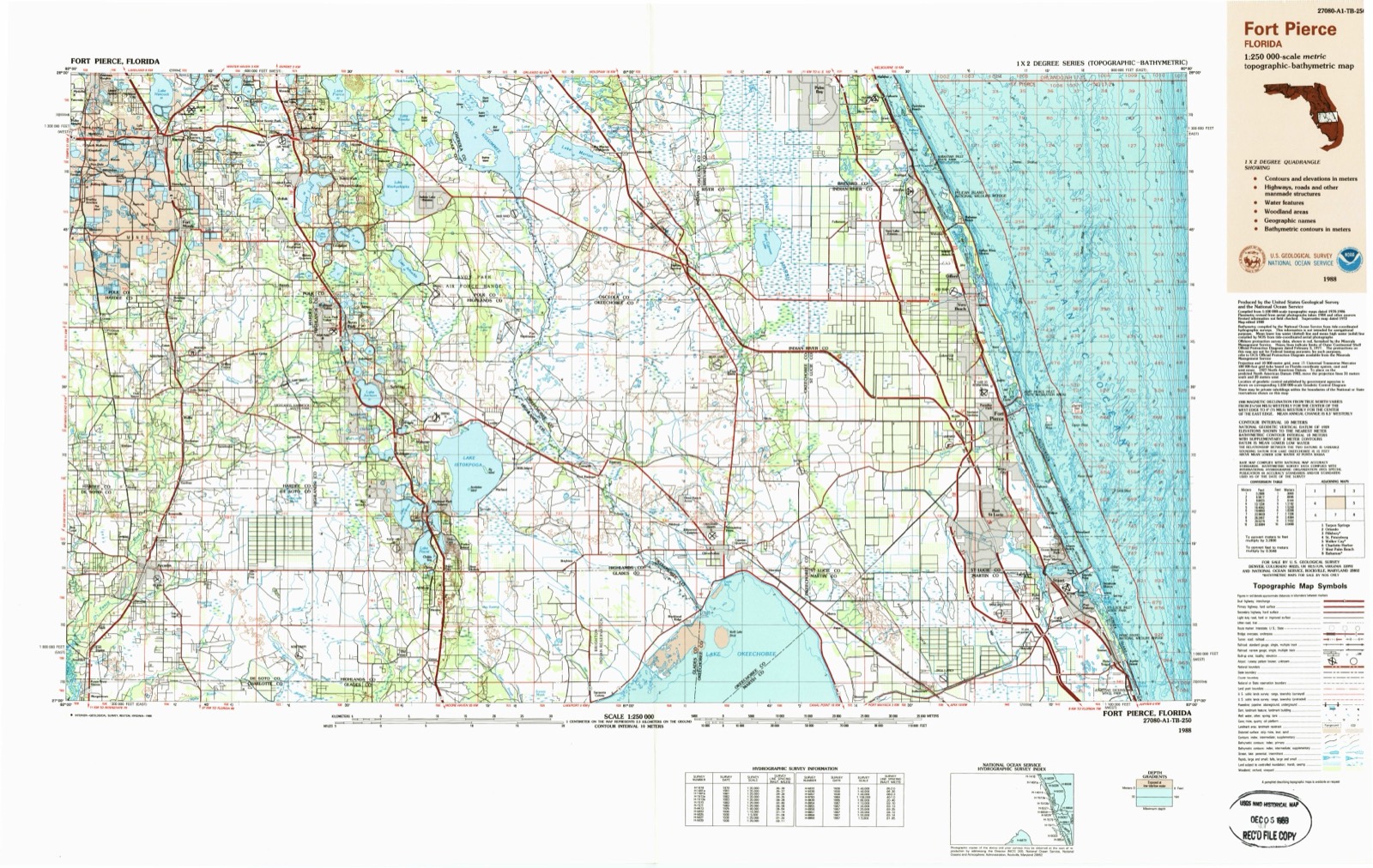
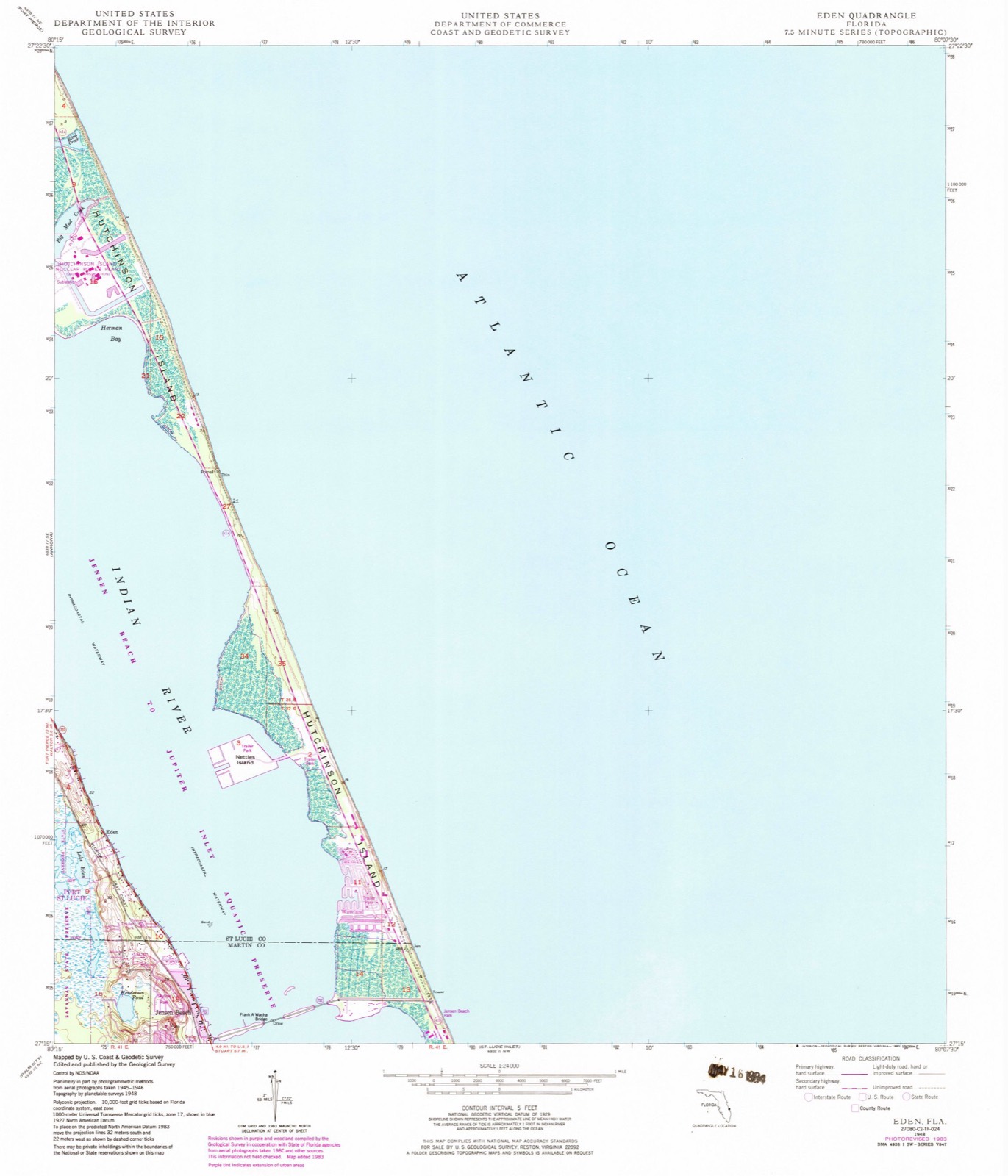
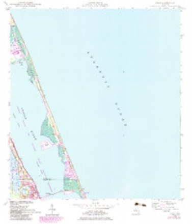
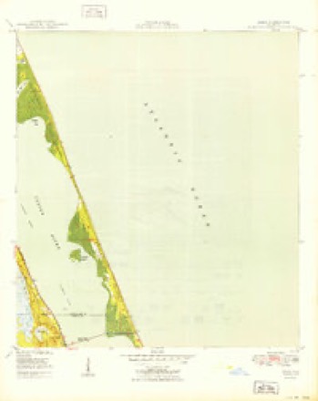
15 topographic sheets cover this place, the earliest surveyed in 1948 and the latest in 1988. It stands in the Stuart census division. It lies in ZIP code area 34957. The Survey maps it on the Eden quadrangle. 12,652 people lived here at the 2020 count. It stands 7 feet above sea level.
Then and now
1948 to 1988The same ground, surveyed 40 years apart. Drag the handle to wipe between them. Both sheets are United States Geological Survey originals; neither has been altered.
On record in Jensen Beach
Buildings and businesses the archive holds for this place. Each opens its own page, with the source record it came from.
On the National Register 3 records
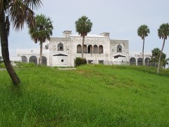 Mount Elizabeth Archeological Sitelisted 2002
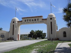 Stuart Welcome Archlisted 2004
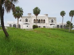 Tuckahoelisted 2005
Population over time
2 figuresJensen Beach grew from 11,707 to 12,652 between 2010 and 2020. These are the recorded population figures Wikidata holds for this place, reached through the Geographic Names Information System number this page is keyed on rather than by name, so they belong to this place and not to another of the same name. Most are census counts, but not all are: an early figure may be a founding or settlement estimate, and an estimate published within five years of a census is left out. The change column is computed, and is left blank where more than 20 years separate a figure from the one before it, because a gap that long is not a change between two counts.
| Year | People | Change |
|---|---|---|
| 2010 | 11,707 | |
| 2020 | 12,652 | +945 (+8%) |
Topographic sheets covering this place
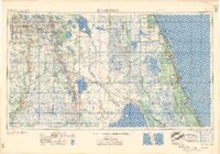
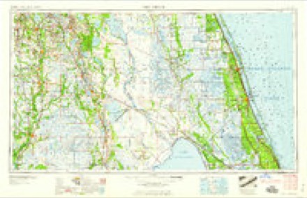
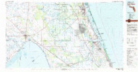
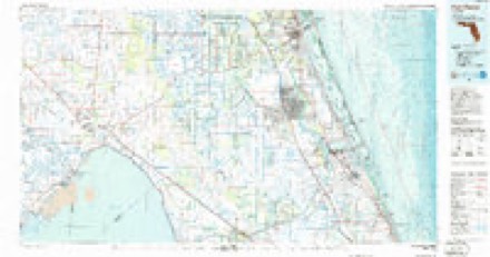
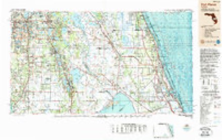
8 surveys from 15 printed sheetsMatched by testing this settlement's coordinate against the published boundary of every sheet in the United States Geological Survey's historical collection. Each opens the scanned sheet at the Survey.
- 1948 USGS Eden quadrangle1:24000, 3 printings
- 1950 USGS Eden quadrangle1:24000
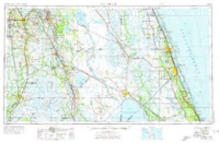
- 1956 USGS Fort Pierce quadrangle1:250000, 4 printings
- 1958 USGS Fort Pierce quadrangle1:250000
- 1959 USGS Fort Pierce quadrangle1:250000, 3 printings
- 1981 USGS Fort Pierce quadrangle1:100000
- 1986 USGS Fort Pierce quadrangle1:100000
- 1988 USGS Fort Pierce quadrangle1:250000
Fires near this place
74 since 1992Regional context, not property-specific evidence. The federal wildfire occurrence database lists 74 fires within 5 miles of Jensen Beach between 1992 and 2019, burning about 852 acres in total. 22 started naturally. 7 were recorded as arson. Distance is straight-line from the map coordinates, so a fire counted here may appear on a neighbouring settlement's page as well.
| Reported cause | Fires |
|---|---|
| Natural | 22 |
| Misuse of fire by a minor | 16 |
| Missing data/not specified/undetermined | 10 |
| Railroad operations and maintenance | 8 |
| Arson/incendiarism | 7 |
| Equipment and vehicle use | 5 |
| Debris and open burning | 2 |
| Smoking | 1 |
| Recreation and ceremony | 1 |
| Fireworks | 1 |
| Power generation/transmission/distribution | 1 |
The most recent of them, most recent first, with the day each was reported and the service that recorded it.
| Date | Cause | Size | Reported by | Name on the report |
|---|---|---|---|---|
| 9 August 1993 | Misuse of fire by a minor | under an acre | Florida Forest Service | not named |
| 4 August 1999 | Natural | 1.0 acres | Florida Forest Service | not named |
| 2 August 1993 | Natural | under an acre | Florida Forest Service | not named |
| 16 August 2011 | Natural | 5.0 acres | Florida Forest Service | GOLDEN ROD RD(43) |
| 14 August 1996 | Natural | 15 acres | Florida Forest Service | not named |
| 9 July 2012 | Natural | 30 acres | Florida Forest Service | SAVANNAH RD. (43) |
| 4 July 2013 | Missing data/not specified/undetermined | 1.0 acres | Florida Forest Service | THE PINES (43) |
| 31 July 1998 | Natural | 20 acres | Florida Forest Service | not named |
Settlements close enough to share some of these fires:
Mines and quarries near this place
1 within 5 milesRegional context, not property-specific evidence. The federal mineral resources record lists 1 working within 5 miles of Jensen Beach: 1 producer. All of them still produce. What was taken out: Sand and Gravel, Construction. Distance is straight-line from the map coordinates, so a quarry counted here may appear on a neighbouring settlement's page as well.
| Where | Site | Commodity | Status | Recorded |
|---|---|---|---|---|
| Jensen Mine | Sand and Gravel, Construction | Producer |
Storms near this place
15 since 1993Regional context, not property-specific evidence. The National Weather Service names Jensen Beach in 15 storm reports between 1993 and 2024: 6 thunderstorm wind, 3 hail, 2 lightning, 1 heavy rain. The reports record 1 death and 1 injury. Each account below is quoted exactly as the forecast office filed it, from the NOAA Storm Events Database, and each date opens the federal record of that event.
| When | Event | Place named | Harm | What the report says |
|---|---|---|---|---|
| May 2017 | Lightning | Jensen Beach | 1 killed | A weak developing thunderstorm over the nearshore waters off Martin County moved westward over Jensen Beach during the late afternoon. A 47-year-old construction worker was seriously injured when he was struck by lightning while working on a pool and club house at Ocean Breeze Park. Other co-workers on the site performed CPR until first responders arrived. The injured man was then transported to a local hospital in critical condition, and later to a regional medical center in West Palm Beach. The man died from the lightning injuries over a month later. |
| August 2019 | Lightning | Jensen Beach | 1 hurt | Local broadcast media reported that a lifeguard at Jensen Beach received non-life threatening injuries after lightning struck nearby. The lifeguard was transported to a local hospital and later released. |
| February 2015 | Flash Flood | Jensen Beach | $105,000 | A combination of CoCoRAaS, ham radio and public reports indicated 5 to 11 inches of rain fell across northeastern Martin County, with most of the rain falling in a 6-hour or less period. The highest totals occurred within the southwestern portion of Stuart and in Palm City. ||Flooding closed many roadways, stranding over 100 vehicles. Drainage canals and creeks overflowed. While high water surrounded many subdivisions, businesses and homes, water was reported to have entered 7 homes in Palm City. Damage was estimated around $105,000 dollars. |
| March 1993 | Thunderstorm Wind | Jensen Beach | $5,000 | A mobile home was overturned by strong winds. |
| March 1993 | Thunderstorm Wind | Jensen Beach | $5,000 | Strong thunderstorm winds damaged roofs. |
| July 2024 | Funnel Cloud | Jensen Beach | - | Public report via social media with pictures of a funnel cloud north of A1A and NE Causeway Blvd in Jensen Beach. The funnel did not touch the ground and dissipated shortly after. |
| April 2021 | Thunderstorm Wind | Jensen Beach | - | The public reported damage in South Jensen Beach, which consisted of downed tree limbs, backyard items thrown around, and a covered porch that was lifted and dropped a few feet away. |
| August 2019 | Thunderstorm Wind | Jensen Beach | - | Martin County Emergency Management reported that damage to home in Jensen Beach, consisting of the complete collapse of backyard pool enclosure, damage to the roof and building siding, and medium sized tree branches were downed. |
| October 2016 | Flood | Jensen Beach | - | Rainbands associated with Hurricane Matthew produced rainfall totals between 2.5 and 4 inches, resulting in areas of mostly minor urban and poor drainage flooding. Several roadways were impacted by significant ponding. |
| April 2015 | Hail | Jensen Beach | - | The Martin County Sheriff's Office relayed a report of quarter-sized hail along the 9200 Block of South Ocean Drive. |
| June 2011 | Thunderstorm Wind | Jensen Beach | - | A National Weather Service employee in Jensen Beach estimated wind gusts to 60 mph as a severe thunderstorm crossed the region. |
| February 2010 | Hail | Jensen Beach | - | Newspaper story of large hail occurring at the Dunkin Donuts store in Jensen Beach, just inland from the intracoastal waterway. Photo's accompanying the story indicated hail of quarter size and greater. |
| June 2008 | Heavy Rain | Jensen Beach | - | Spotters reported 4 inches of rain in less than an hour. |
| June 1994 | Thunderstorm Wind | Jensen Beach | - | Severe thunderstorm winds blew down power lines and produced minor roof damage in Jensen Beach and Hobe Sound. |
| May 2005 | Hail | Jensen Beach | - | no account filed |
Nearest settlements
The eight closest, with where each one stands in the county. Distances are straight-line, computed from the Geographic Names Information System coordinates.
| Map | Place | Distance | Sheets |
|---|---|---|---|
| Skyline Heights | 0.5 miles | 16 | |
| Ocean Breeze Park | 1.4 miles | 16 | |
| Palm Lake Park | 2.3 miles | 17 | |
| Rio | 2.5 miles | 16 | |
| North River Shores | 3.3 miles | 17 | |
| Snug Harbor | 3.6 miles | 16 | |
| Sewall's Point | 4.1 miles | 16 | |
| Stuart | 4.1 miles | 17 |
Elsewhere
Matched on this settlement's Geographic Names Information System number rather than its name, so it cannot be a different place of the same name in another state.
| Wikipedia article on Jensen Beach | An encyclopaedic summary. Its text is share-alike, so it is linked here rather than copied. |
| Wikidata item Q2375999 | The structured record the population and elevation above come from. Public domain (CC0). |
Provenance
This settlement is recorded in the Geographic Names Information System as feature 284759. The sheet list is computed by point-in-boundary test against the United States Geological Survey's historical topographic inventory. Both are works of the United States government and carry no copyright under 17 U.S.C. 105.
Wildfire. Short, Karen C. 2022. Spatial wildfire occurrence data for the United States, 1992-2020 [FPA_FOD_20221014]. 6th Edition. Fort Collins, CO: Forest Service Research Data Archive. https://doi.org/10.2737/RDS-2013-0009.6 Collected with United States Government funding and usable without additional permissions or fees.
Mines and quarries. USGS Mineral Resources Data System (MRDS) https://mrdata.usgs.gov/mrds/ A work of the United States government, no copyright under 17 U.S.C. 105.
Storms. NOAA National Centers for Environmental Information, Storm Events Database https://www.ncei.noaa.gov/stormevents/ A work of the United States government, no copyright under 17 U.S.C. 105. Narratives are quoted verbatim from the National Weather Service report and are not edited or summarised.