 Block
BlockFrom the record
14 National Register listings published here.
Sources: the National Register database, National Park Service
78 topographic sheets cover 32 settlements here, and 14 properties are on the National Register of Historic Places.
14 National Register listings published here.
Sources: the National Register database, National Park Service
Every property in this county listed on the National Register of Historic Places, with the year it was listed and the federal nomination document.
| Photograph | Property | Type | Listed | Reference |
|---|---|---|---|---|
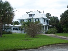 | Burn Brae Plantation-Krueger House | building | 2002 | 02000002 |
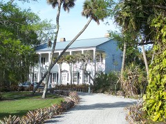 | Cypress Lodge | building | 2008 | 08001040 |
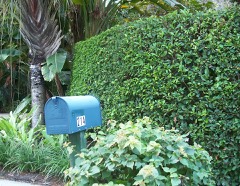 | Gate House | building | 2001 | 01001246 |
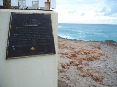 | Georges Valentine Shipwreck Site | site | 2006 | 06000619 |
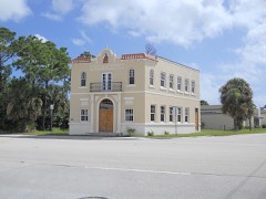 | Golden Gate Building | building | 2017 | 100001736 |
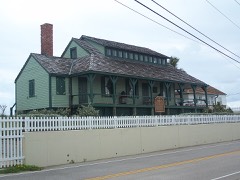 | House of Refuge at Gilbert's Bar | building | 1974 | 74000651 |
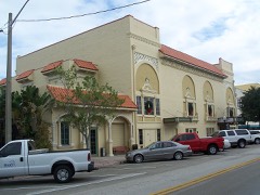 | Lyric Theatre | building | 1993 | 93001204 |
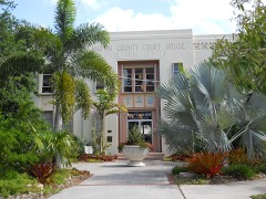 | Martin County Court House, Old | building | 1997 | 97001329 |
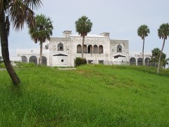 | Mount Elizabeth Archeological Site | site | 2002 | 02001011 |
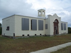 | Olympia School | building | 2002 | 02001534 |
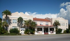 | Seminole Inn | building | 2006 | 06000442 |
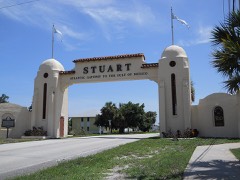 | Stuart Welcome Arch | structure | 2004 | 04000971 |
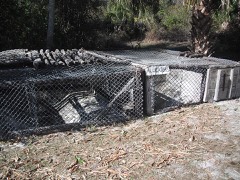 | Trapper Nelson Zoo Historic District | district | 2006 | 06000918 |
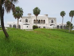 | Tuckahoe | building | 2005 | 05001339 |
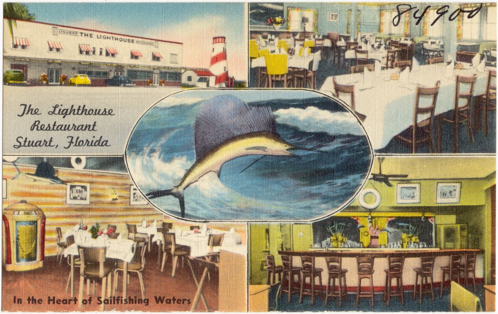
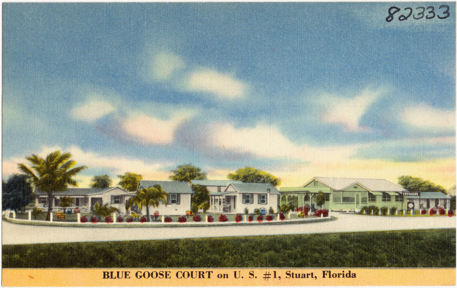
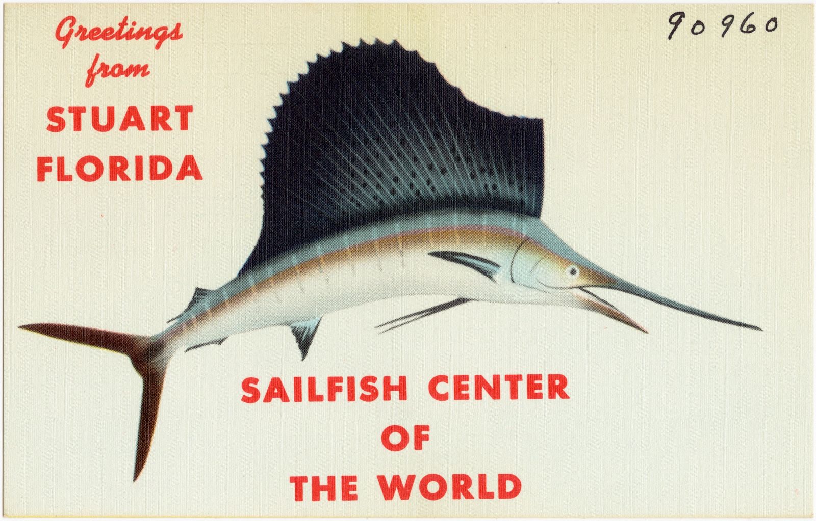
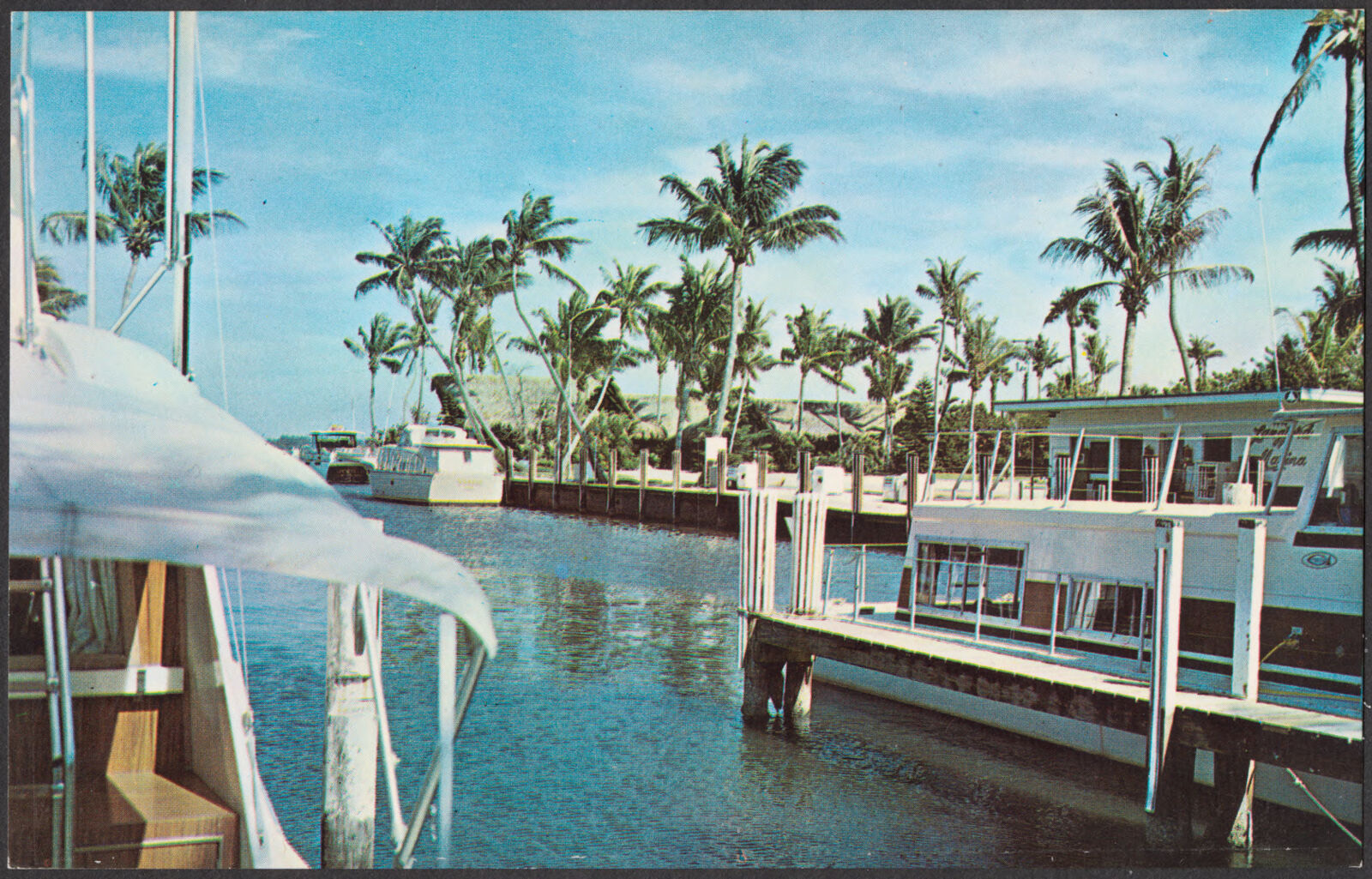
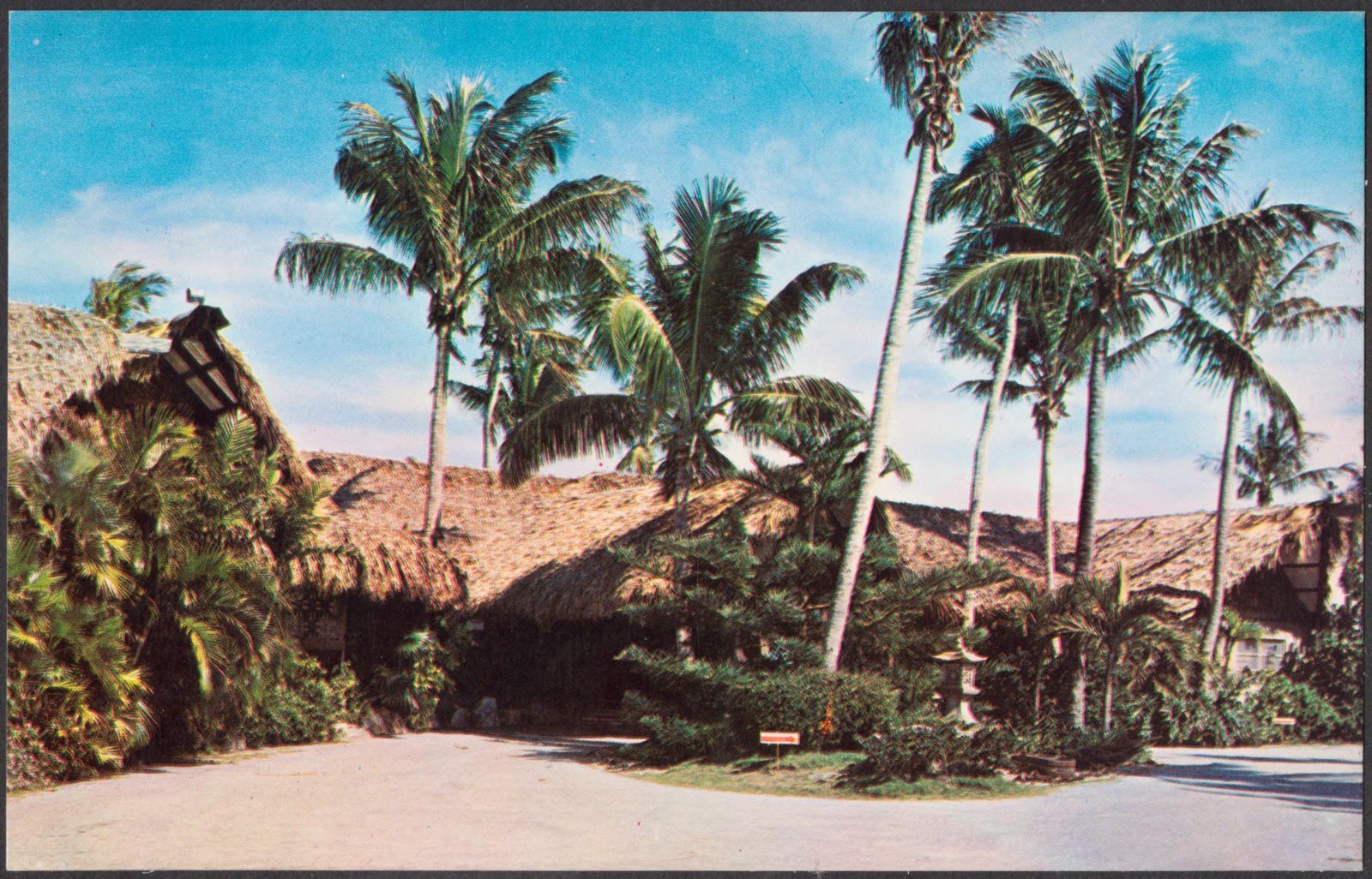
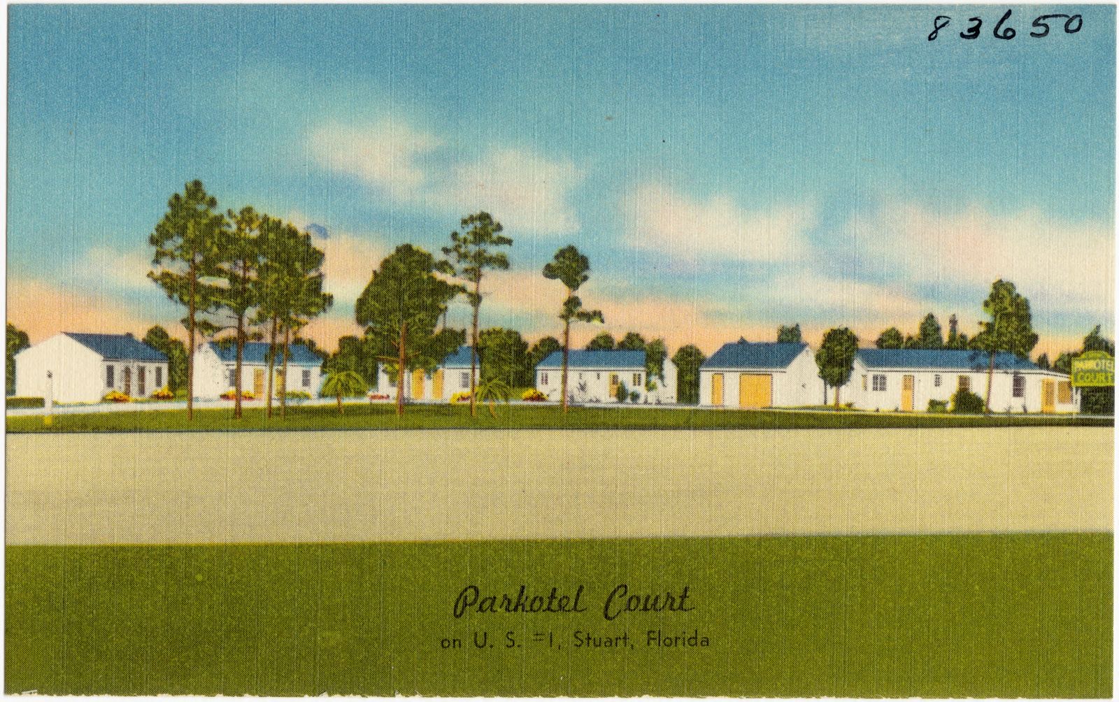
Selected from the Digital Public Library of America's 10 image records catalogued for this county. Every one shown here carries a public-domain status or a licence that permits reuse on a site that carries advertising; non-commercial, share-alike and restricted images are excluded. The selection is spread across the county's towns (at most eight per town), so no single institution's bulk upload crowds out the rest. Each opens the holding library's record, and the complete set at the Digital Public Library of America is one click away.
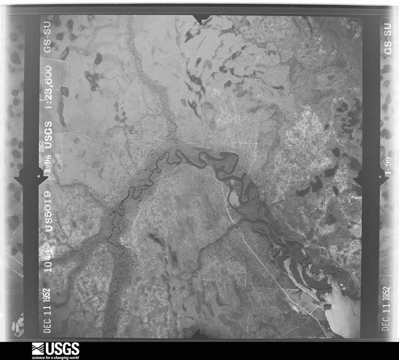
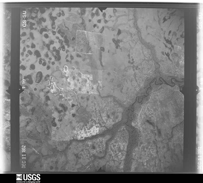
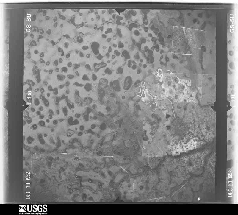
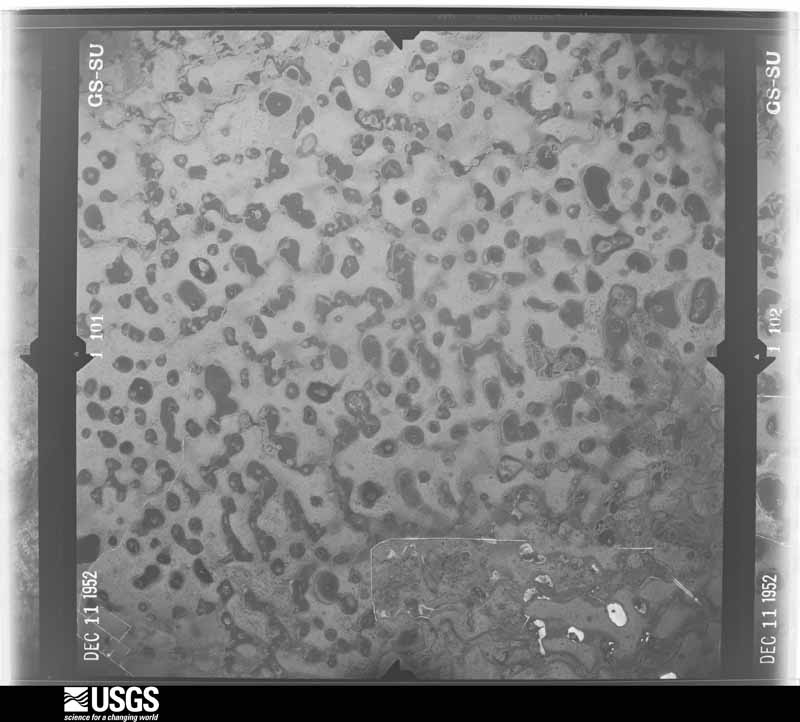
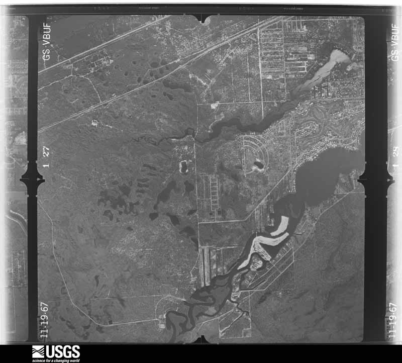
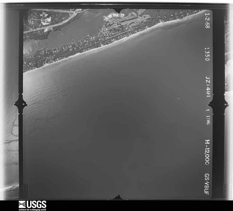
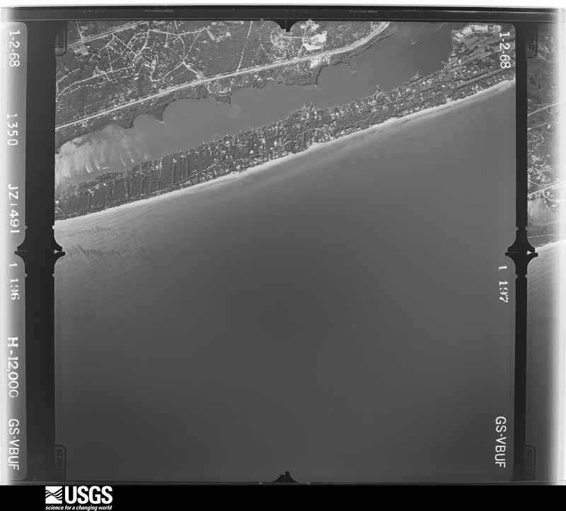
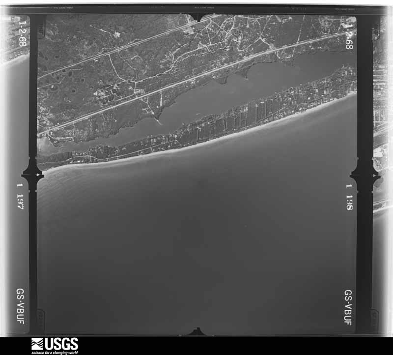
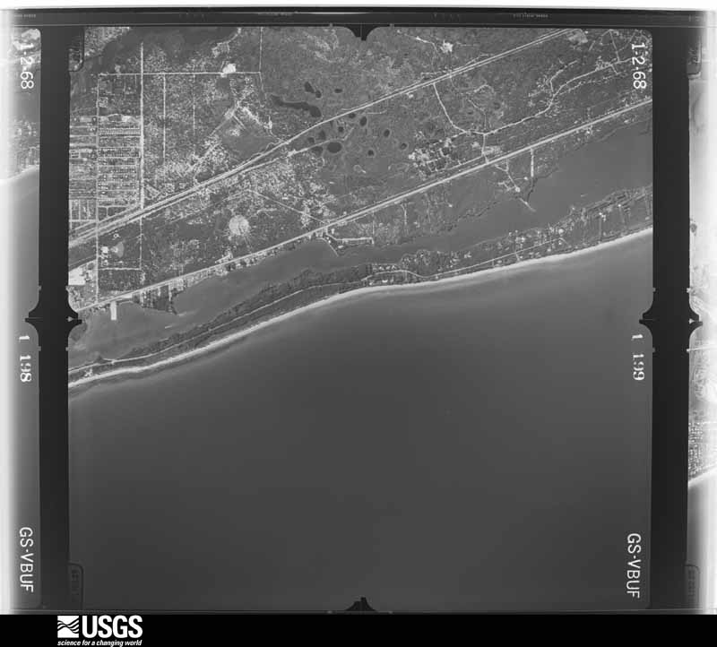
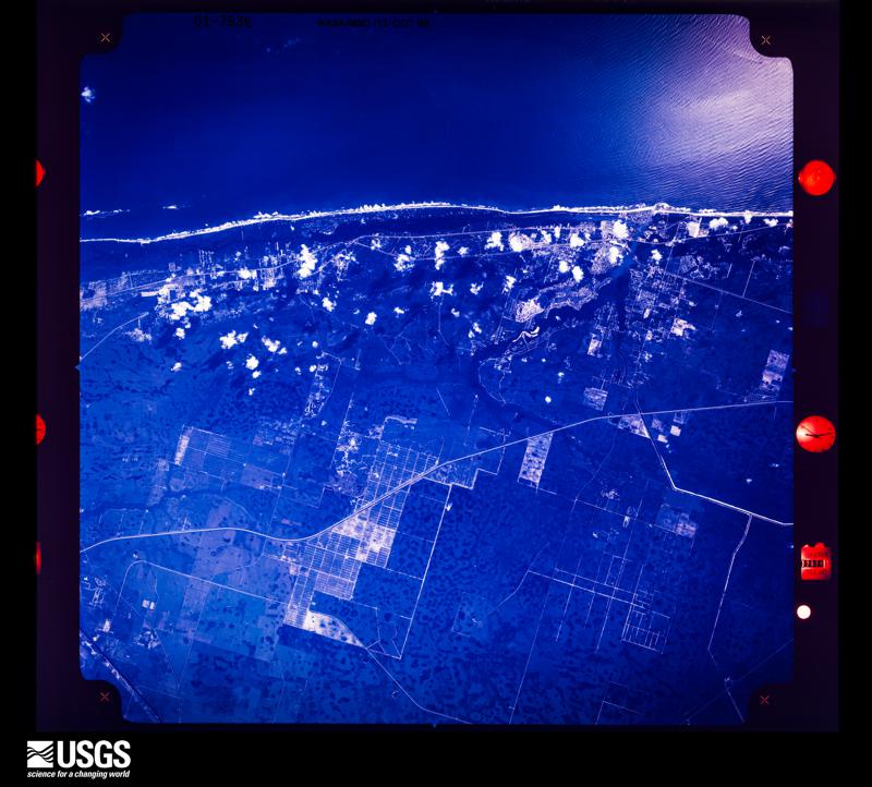
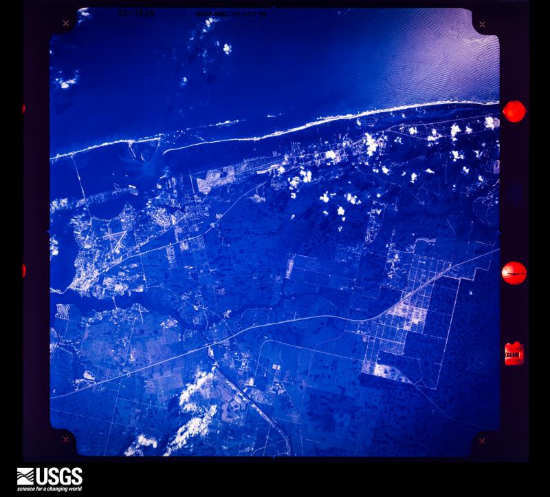
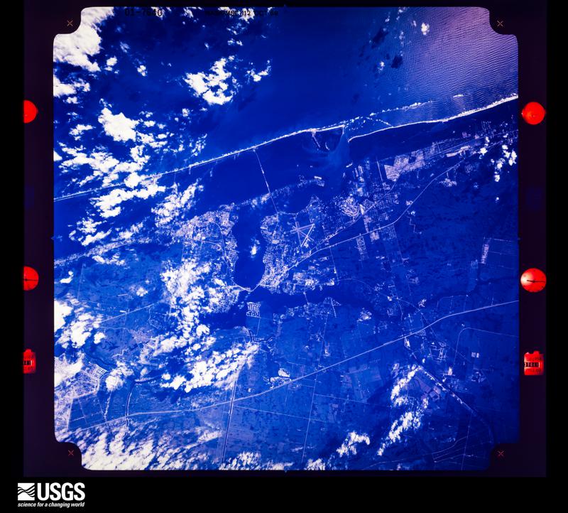
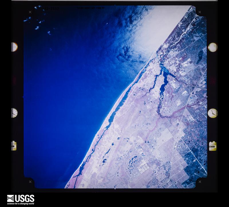
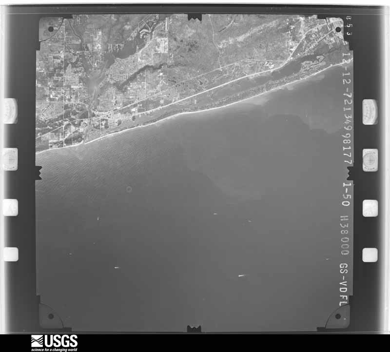
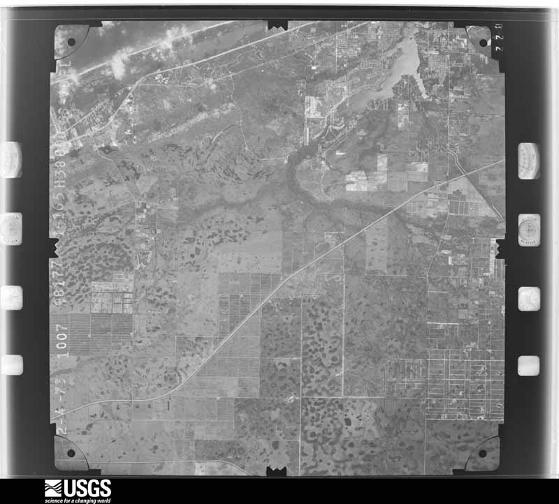
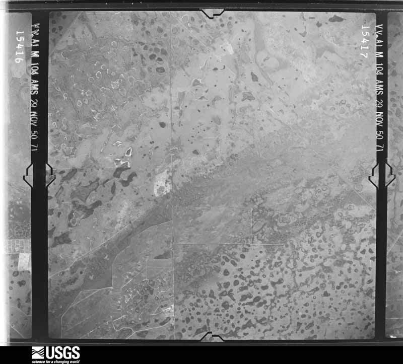
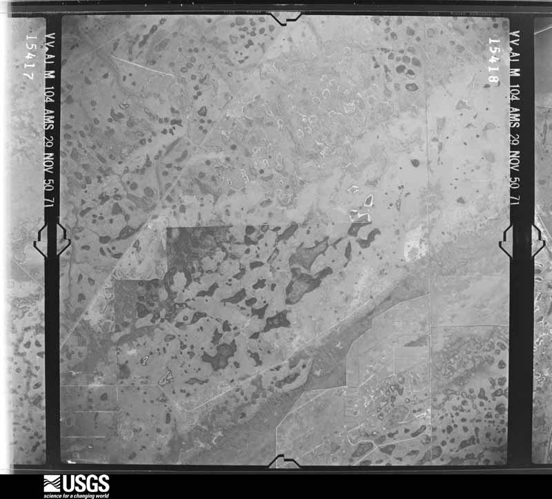
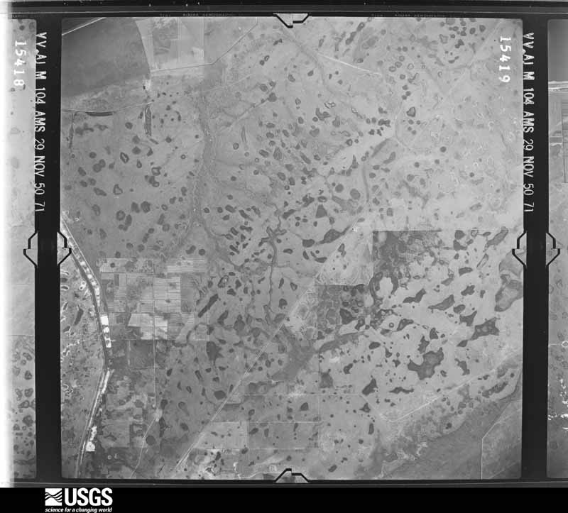
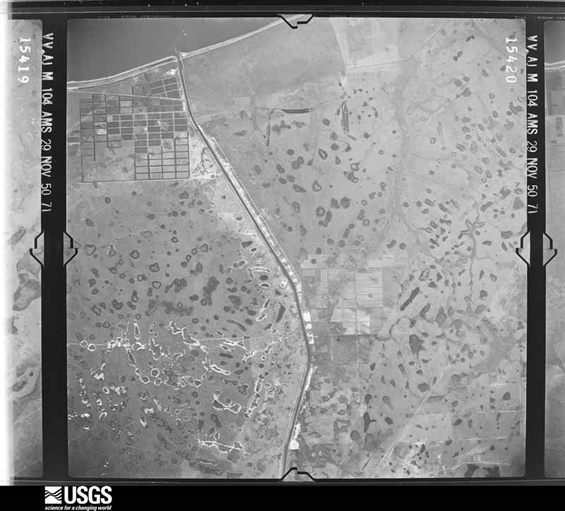
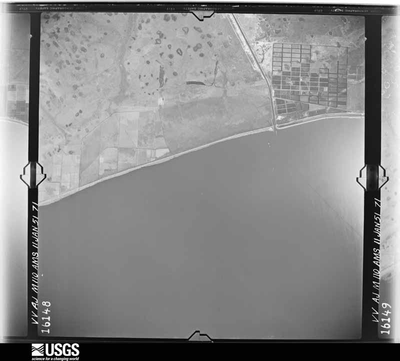
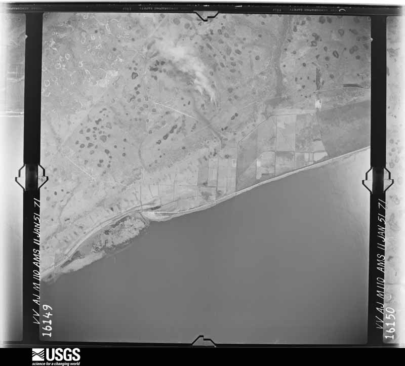
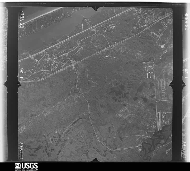
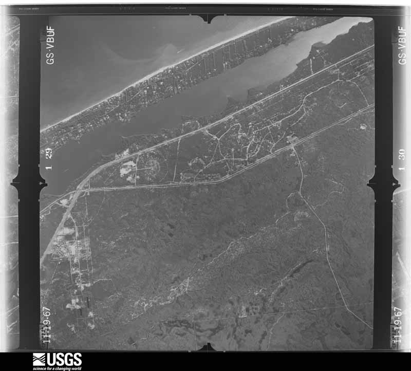
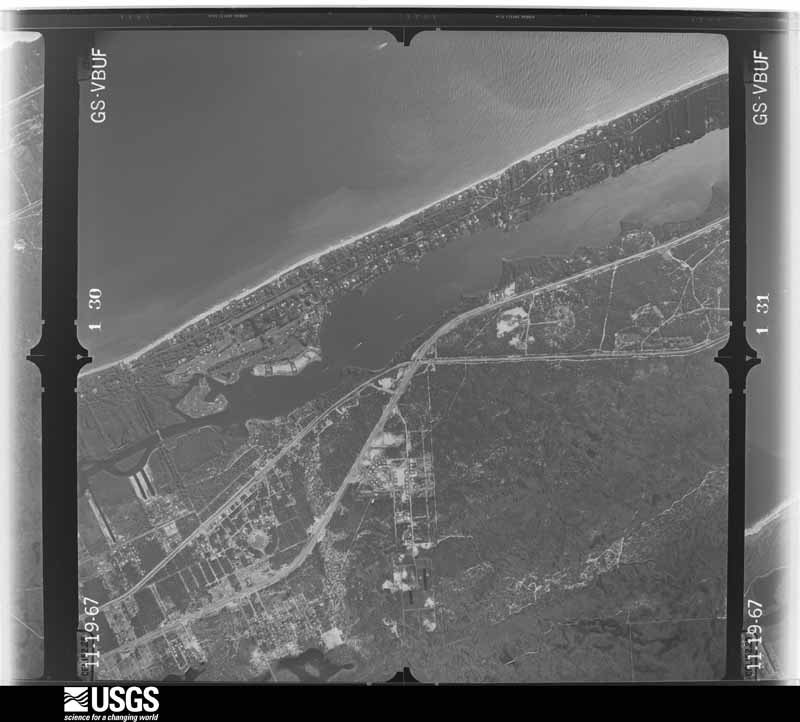
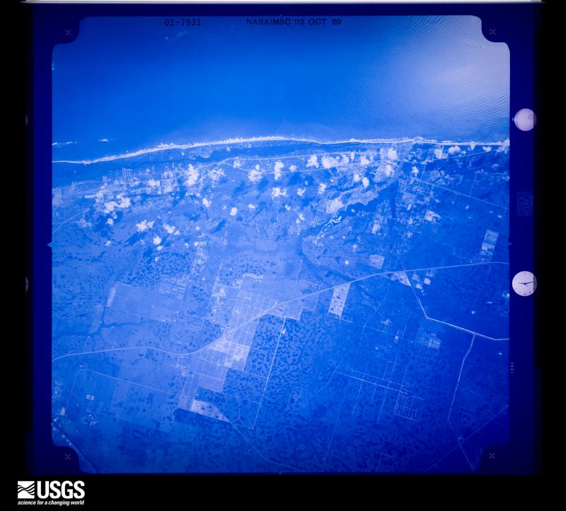
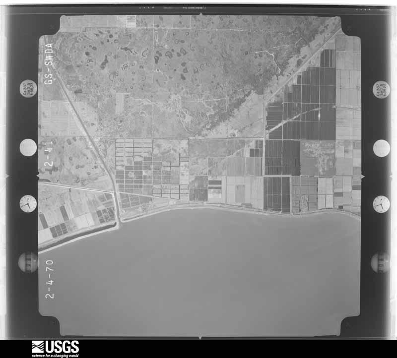
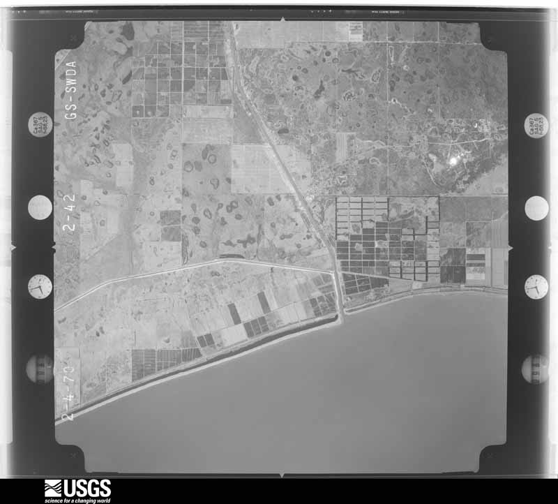
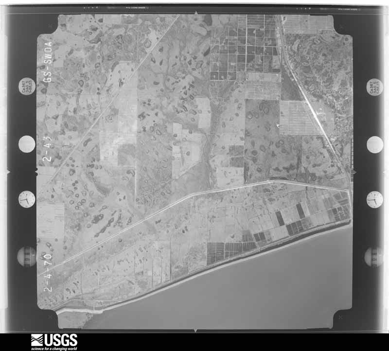
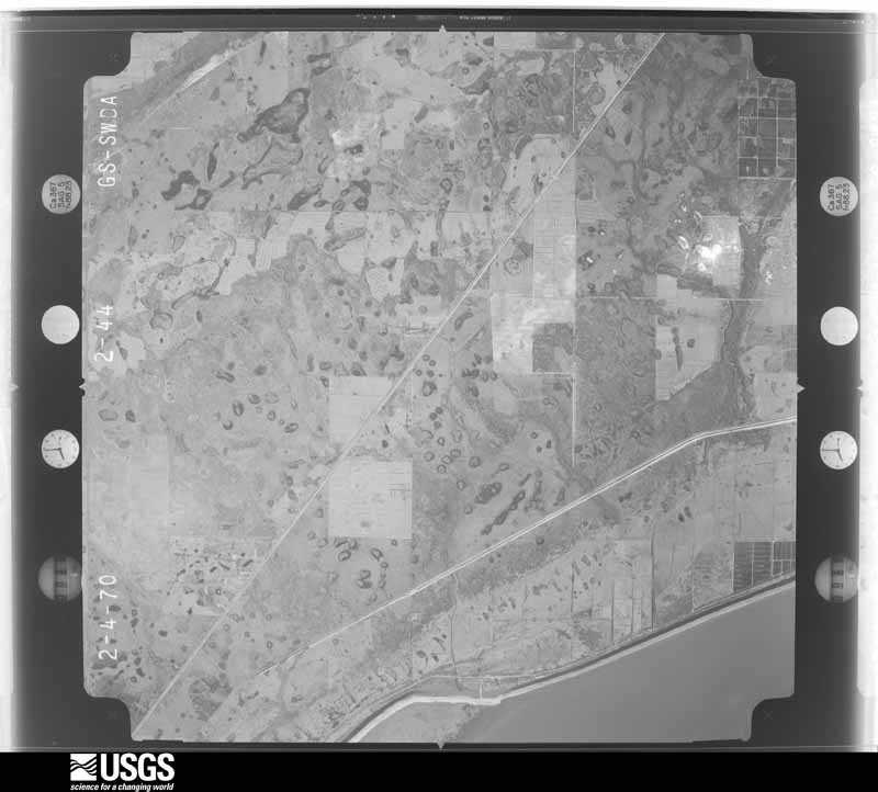
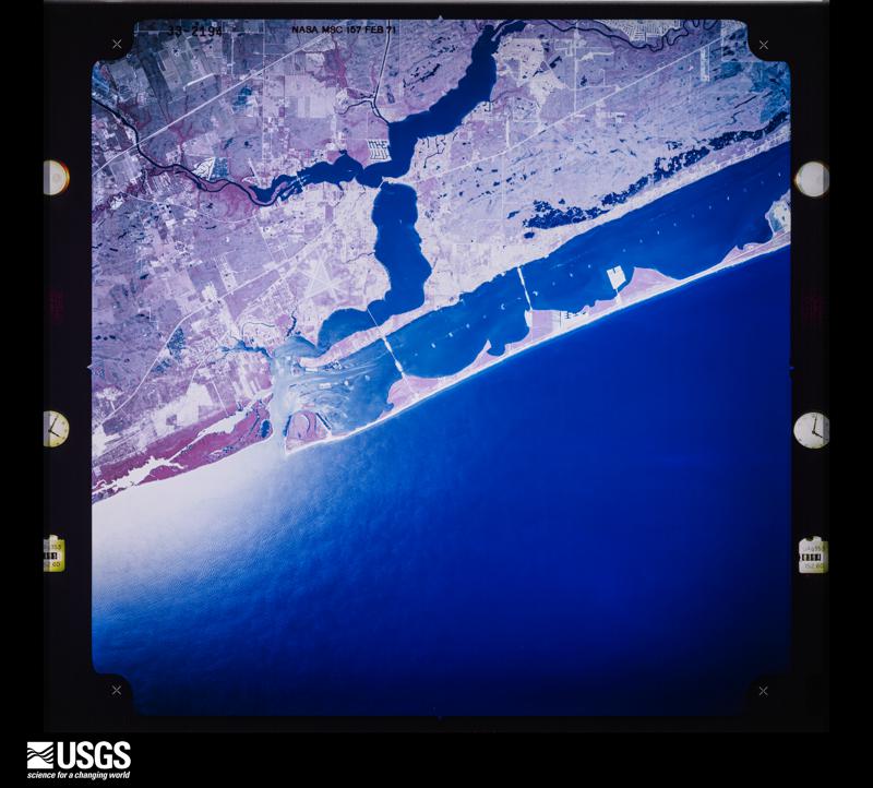
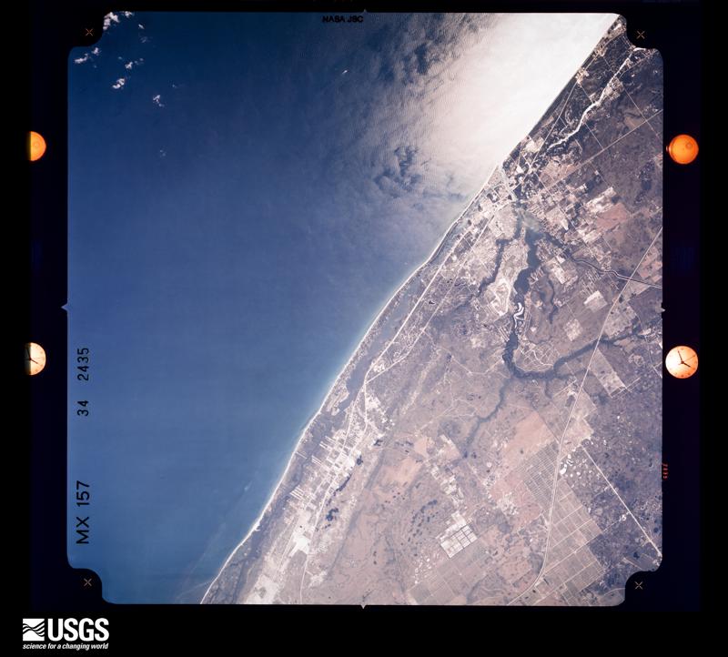
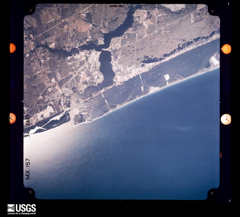
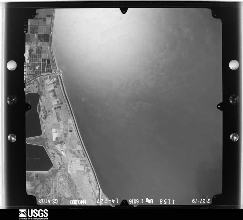
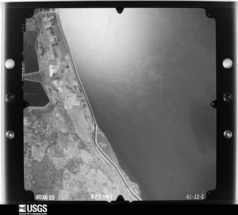
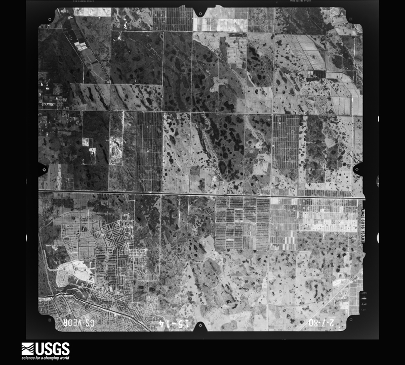
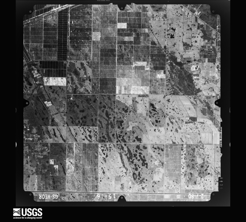
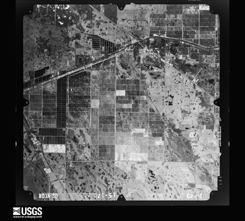
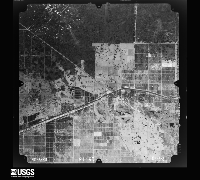
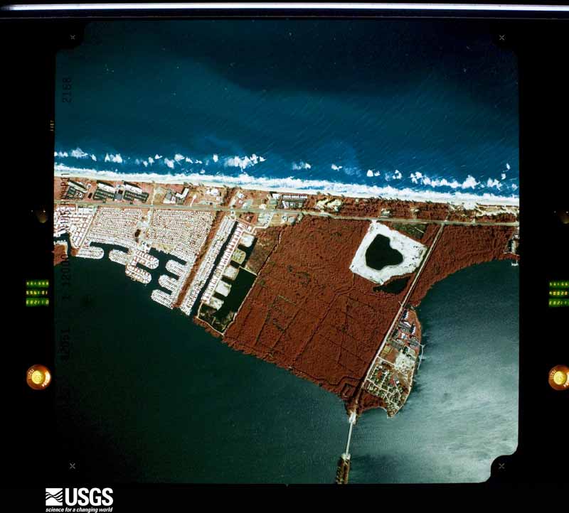
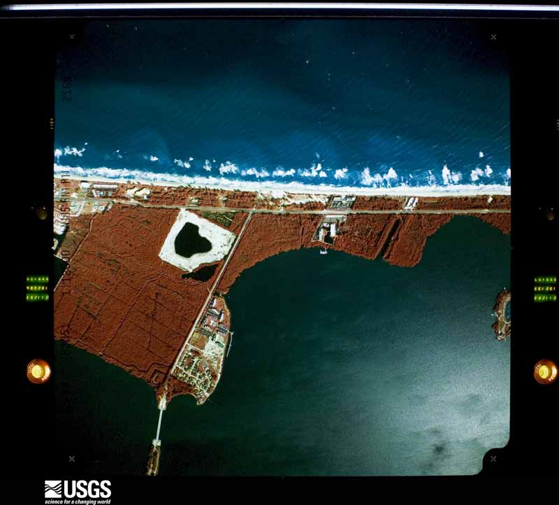
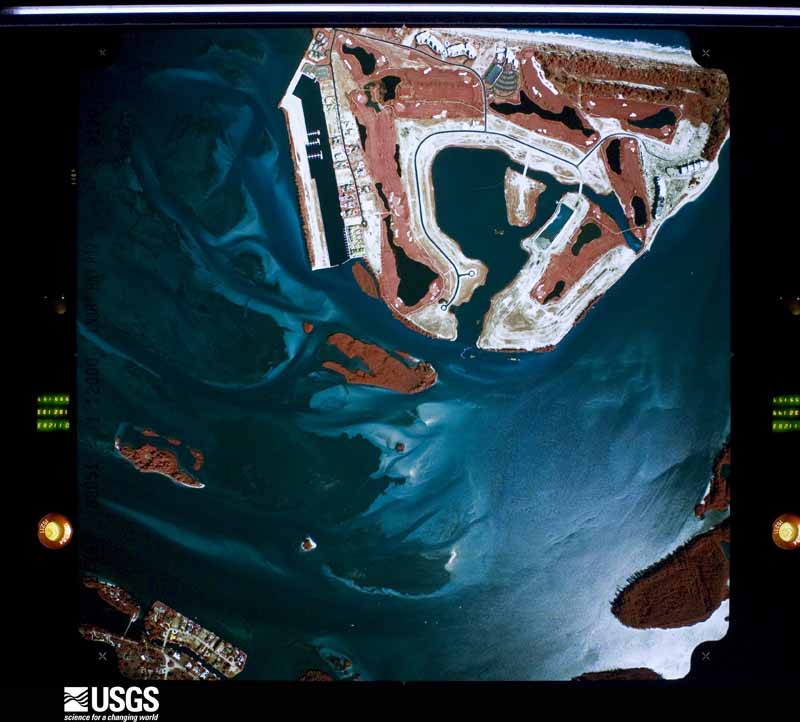
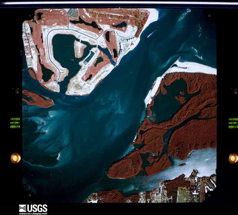
Flown by the U.S. Geological Survey between 1937 and 1989, the Aerial Photo Single Frames collection is the definitive mid-century view of the land: fields, roads and rivers as the camera saw them. The Survey holds 826 frames inside the rectangle that bounds this county; the 44 frames below were taken over the county itself, chosen across the decades of flights (at most four a year from that rectangle), so one flight cannot crowd out the rest. The full set is free to browse and download at EarthExplorer under the dataset Aerial Photo Single Frames.

The thermometers that kept this county's weather, and the gages that measured the flow of its streams, as the federal records hold them. The extremes below are measured values from those records, not estimates.
Who lived here in 1950, one enumeration district at a time, as the Census Bureau described each district. Each row opens its official National Archives result, with Population Schedules and ED Maps available there.
Every wildfire the federal occurrence database records inside this county: 954 of them, burning about 25,844 acres. 424 started naturally and 52 were recorded as arson. Each settlement page carries the fires within five miles of it.
| Reported cause | Fires |
|---|---|
| Natural | 424 |
| Missing data/not specified/undetermined | 111 |
| Debris and open burning | 79 |
| Misuse of fire by a minor | 65 |
| Equipment and vehicle use | 64 |
| Railroad operations and maintenance | 54 |
| Arson/incendiarism | 52 |
| Recreation and ceremony | 43 |
| Power generation/transmission/distribution | 38 |
| Smoking | 17 |
| Fireworks | 6 |
| Other causes | 1 |
The five largest, by the area the report gives. None of them was recorded as arson.
| Date | Cause | Size | Reported by | Name on the report |
|---|---|---|---|---|
| 18 May 2011 | Natural | 1,047 acres | Florida Forest Service | ATLANTIC (43) |
| 13 May 2002 | Recreation and ceremony | 1,011 acres | Florida Forest Service | CLEMENTSVILLE COMMAND |
| 17 February 1992 | Missing data/not specified/undetermined | 1,005 acres | Florida Forest Service | not named |
| 18 April 2011 | Natural | 847 acres | Florida Forest Service | (MA) U-PICK (336) |
| 28 May 2000 | Natural | 800 acres | Florida Forest Service | GREEN SWAMP GROVE |
| 10 May 2009 | Missing data/not specified/undetermined | 725 acres | Florida Forest Service | (MA) INDIAN TRAIL (453) |
| 2 June 2001 | Natural | 600 acres | Florida Forest Service | not named |
| 24 June 2000 | Natural | 600 acres | Florida Forest Service | not named |
Every settlement page carries the fires within five miles of it - see the settlement index below.
The NOAA Storm Events Database holds 221 reports for this county, causing 3 deaths, 16 injuries and about $21,075,480 in recorded property damage. Each settlement page carries the reports that name it.
| Kind of event | Reports |
|---|---|
| Hail | 64 |
| Thunderstorm Wind | 63 |
| Tornado | 42 |
| Funnel Cloud | 16 |
| Lightning | 10 |
| Flash Flood | 8 |
| Flood | 8 |
| Heavy Rain | 7 |
| Waterspout | 2 |
| Dust Devil | 1 |
The most serious of them, by death, then injury, then recorded damage. The accounts are quoted exactly as the forecast office filed them.
| When | Event | Place named | Harm | What the report says |
|---|---|---|---|---|
| May 2017 | Lightning | Jensen Beach | 1 killed | A weak developing thunderstorm over the nearshore waters off Martin County moved westward over Jensen Beach during the late afternoon. A 47-year-old construction worker was seriously injured when he was struck by lightning while working on a pool and club house at Ocean Breeze Park. Other co-workers on the site performed CPR until first responders arrived. The injured man was then transported to a local hospital in critical condition, and later to a regional medical center in West Palm Beach. The man died from the lightning injuries over a month later. |
| March 2016 | Lightning | Jupiter Is | 1 killed | A 41-year old man was struck by lightning in Jonathan Dickinson State Park, south of Hobe Sound. The man was playing catch with his son in a grassy field when he was struck by lightning on the top of his head. He was transported to a hospital in critical condition and died on April 4. |
| February 1995 | Thunderstorm Wind | Port Salerno | 1 killed | A man drowned after being washed overboard by a large wave generated by thunderstorm winds. GEORGIA |
| July 2017 | Lightning | Palm City | 3 hurt | A lightning strike associated with a mid day thunderstorm struck a tree in Phipps Park. The strike injured three people who were nearby. Two of the three people were hospitalized. While the extent of their injuries were unknown, all of them were conscious when paramedics arrived. |
| June 2020 | Lightning | Jupiter Is | 2 hurt | Martin County Fire Rescue and local broadcast media reported that two men were struck by lightning while fishing at Hobe Sound Beach. The lightning strike occurred at approximately 1530 LST, 200 yards north of a lifeguard tower. First responders arrived to find the two men injured and both were transported to local hospitals in critical conditions. |
| September 2015 | Lightning | Hobe Sound | 2 hurt | A thunderstorm with infrequent lightning produced a strike which hit a construction crane and injured two nearby workers. The two men were transported to a nearby hospital with non life-threatening injuries. |
| February 2010 | Hail | Lighthouse Pt | 2 hurt | Ping pong to golf ball sized hail occurred in association with a fast moving severe thunderstorms. Reports indicated that the hail fell as chunks. Two golfers at the Palm Cove Golf Course were struck and injured by the large hail. Both golfers sustained minor head lacerations, were treated at the scene, then transported and released from an area hospital. Report relayed by Martin County Emergency Management and Martin County Fire Rescue. |
| October 2024 | Tornado (EF1) | Salerno | 1 hurt, $2,000,000 | A tornado, embedded within one of Hurricane Milton's outer rainbands, touched down just south of US-1 where a camper home was tossed and its occupant was injured. The circulation moved across SE Federal Highway where it impacted portions of the Colonial Heights subdivision. Here, several mobile homes experienced significant damage to roofs and carports. A few experienced major damage when they were moved off their foundation. ||A continuous damage path was noted north into the New Monrovia subdivision, where numerous homes experienced moderate to major damage, and several manufactured homes experienced complete roof loss. The Murray Middle School also experienced roof and vegetative damage. Damage continued northward into Rocky Point, a large subdivision along the St. Lucie River. Several homes within the western half of the community experienced minor to moderate damage to roofs, soffits, and carports; however, a home on SE Dennis Way experienced total roof loss. ||The circulation then moved into the St. Lucie River and Intracoastal where it became a waterspout. Video from a resident along the Intracoastal indicates the waterspout dissipated before approaching the Jensen Beach Causeway. |
| February 1983 | Tornado (F2) | not stated | 1 hurt, $250,000 | no account filed |
| May 1974 | Tornado (F1) | not stated | 1 hurt, $250,000 | no account filed |
| February 1973 | Tornado (F2) | not stated | 1 hurt, $250,000 | no account filed |
| August 2019 | Lightning | Jensen Beach | 1 hurt | Local broadcast media reported that a lifeguard at Jensen Beach received non-life threatening injuries after lightning struck nearby. The lifeguard was transported to a local hospital and later released. |
| July 1997 | Lightning | Salerno | 1 hurt | A 70 year old man was admitted to a local hospital after being struck and injured by lightning. |
| August 1997 | Lightning | Stuart | 1 hurt | Lightning struck a boater near Stuart in the Indian River Lagoon. He was knocked unconscious and fell into the water. He was pulled back on the boat and revived by his wife. |
| October 2024 | Tornado (EF2) | Gomez | $11,000,000 | A tornado touched down in a wooded rural area in between I-95 and US-1 in eastern Martin County. Damage began in the Lost Lake subdivision before the tornado moved north into The Preserve, where vegetative damage was extensive and numerous concrete block homes experienced significant tile loss. The tornado moved north into the Mariner Sands community, where some of the most significant damage occurred along its nearly 6 mile long path. Several wood-framed homes experienced total roof loss and partial wall collapse due to estimated winds of 110 to 120 mph. One resident who was trapped under his fallen roof was extracted and transported to a nearby hospital with minor injuries. ||The strong tornado then intersected the Manatee Creek subdivision where nearly 30 wood-framed homes experienced major damage in the form of roof loss and/or wall collapse from winds up to 120 mph. Finally, the circulation persisted into Rocky Point, where the eastern side of the subdivision experienced more sporadic damage in the roof of partial roof loss, soffit damage, and downed trees and power lines. Based on radar data, the tornado likely became a waterspout as it moved into the Intracoastal where it dissipated shortly thereafter. |
| October 2024 | Tornado (EF2) | Indiantown Crl T Arp | $1,500,000 | The tornado, which produced a large swath of EF-0 and EF-1 damage, and a small section of EF-2 damage, was one of several tornadoes to impact the area as Hurricane Milton's outer rainbands swept across the Treasure Coast. Based on radar dual polarimetric data, this tornado initially touched down in Palm Beach County. ||As it moved into rural Martin County, the system intersected a few homes south of SW Kanner Hwy. A large, newer construction home, experienced major damage when nearly all of its roof was torn back and tossed onto an adjacent home. Nearby metal storage structures were also significantly damaged, indicating EF-2 winds of 115 - 125 mph. The tornado continued northward through rural Martin County where sporadic damage to vegetation and residential structures was witnessed along Citrus Blvd, producing winds ranging from 85 to 105 mph (EF-0 to EF-1). The circulation damaged several industrial buildings, including the canopy of a gas station, near SW Martin Hwy and SW 42nd Ave. ||The tornado subsequently crossed Florida's Turnpike where it then entered several subdivisions before crossing into St. Lucie County, producing only minor (EF-0) damage given that most of the homes were concrete block structures. |
| August 2001 | Flash Flood | Stuart | $1,500,000 | Rains associated with distant Tropical Storm Barry in the Gulf of Mexico produced flooding across much of Martin County. About 13 inches of rain fell in the area between midnight and late morning on August 2nd. The most serious flooding occurred in Stuart, Port Salerno and Palm City. Over 300 homes received some water damage. Major damage was reported in 63 homes and 6 mobile homes. |
| March 2008 | Thunderstorm Wind | Stuart Witham Fld | $1,000,000 | Air traffic controllers reported a thunderstorm wind gust to 97 mph at Witham Field Airport in Stuart. The winds flipped 7 planes and damaged a total of 14 planes. The roof collapsed on the sheriff annex building. Several hangers were damaged. The storm also knocked out power to 10,000 power company customers in the arera. The local YMCA had minor roof damage as well as a building at the fairgrounds. |
| July 2013 | Lightning | Palm City | $500,000 | A home sustained damage estimated at $500,000 due to a fire which started after the home was struck by lightning. |
| June 2020 | Flash Flood | Lighthouse Pt | $450,000 | Widespread rain totals of 5-10 inches affected portions of Jensen Beach, Stuart, Palm City and Hobe Sound between the evening of June 2 and mid afternoon on June 3. Excessive rain rates (6 inches in less than 4 hours) occurred within an area of saturated soils from Palm City to Hobe sound, with peak event total rainfall of 11 to 13 inches measured by a weatherstem site and a SKYWARN spotter, respectively, both in Hobe Sound. Fourteen homes experienced minor damage consisting of several inches of water accumulation and 8 homes sustained major damage with waters levels up to or beyond electrical outlets. Numerous roadways throughout the area became impassable due to high water and were closed. Additionally, water poured into some homes in Stuart near Manatee Pocket, where heavy rain combined with the high tide, likely causing water levels to rise along a stream connected to the St. Lucie River. |
| June 2020 | Flash Flood | Salerno | $250,000 | Two to four inches of rain fell within two hours, across an area which received 7 to 13 inches of rain over the previous three days. With saturated soils and standing water remaining in many areas, flooding quickly developed. Flood waters entered several homes, mainly within Hobe Heights. Some homes may have experienced water intrusion two days earlier from the first period of flooding. Numerous roadways within Hobe Sound became inpassable due to high levels of standing water. |
| January 1979 | Tornado | not stated | $250,000 | no account filed |
| October 1958 | Tornado (F3) | not stated | $250,000 | no account filed |
| January 2014 | Flood | Rio | $220,000 | Radar-based rainfall estimates were between 6 and 12 inches across eastern-most Martin County, with most of the rain falling in a 6-hour or less period. The twenty-four hour rain gage total at Stuart was 10.55 inches and 12.00 inches at Nettles Island, but with most of the rain falling in less than 6 hours. Flooding closed many roadways, stranding vehicles. Drainage canals and creeks overflowed. While high water surrounded many subdivisions, businesses and homes, water only entered one building, a Martin County High School, causing an estimated $220,000 in damage. |
| October 2011 | Tornado (EF0) | Indiantown | $207,000 | A thunderstorm quickly intensified southwest of Indiantown and produced a brief, but high-end EF0 tornado in rural area north of the town center. A NWS damage survey estimated maximum winds of 80-85 mph. The tornado caused mainly light damage to a two-story home (several windows blown in, vinyl siding removed, soffit damaged), caused the roof of a pole barn to collapse upon itself, and totally removed the roof of an adjacent commercial building (VFW lodge). Several large tree branches were downed and one tall pine tree was uprooted. DI1 DOD5 LB, DI2 DOD2 EXP, DOD28 DI3 EXP. |
| October 2011 | Tornado (EF0) | Gomez | $200,000 | A NWS Storm Survey team confirmed a brief touchdown of an EF0 tornado within the Ridgeway Mobile Home Park in Hobe Sound. Winds were estimated at 65 to 70 mph. The tornado removed the roof from one mobile home and carried it approximately 50 yards downwind. Small portions of metal roofs were peeled back from three other mobile homes. Thirty eight additional mobile homes experienced minor damage to window awnings and carports. Two vehicles experienced damage due to movement by the wind into an adjacent structure. Three large palm trees were uprooted or toppled, and many smaller trees sustained damage. The tornado lifted just prior to reaching Highway A1A. DI3 DOD4 LB. |
| January 2014 | Thunderstorm Wind | Hobe Sound | $150,000 | A NWS Storm Survey confirmed a zone of straight-line wind damage approximately aligned northeast to southwest, approximately one-third of a mile long and up to about 300 feet wide, affecting the Woodbridge Mobile Home park in the town of Hobe Sound. Twenty mobile homes sustained wind damage. Carports and awnings were removed from homes, and several homes had parts of their metal roofs peeled back. Two large trees sustained damage, primarily from debris impact. Damage estimates totalled $150,000. |
| February 2015 | Flash Flood | Jensen Beach | $105,000 | A combination of CoCoRAaS, ham radio and public reports indicated 5 to 11 inches of rain fell across northeastern Martin County, with most of the rain falling in a 6-hour or less period. The highest totals occurred within the southwestern portion of Stuart and in Palm City. ||Flooding closed many roadways, stranding over 100 vehicles. Drainage canals and creeks overflowed. While high water surrounded many subdivisions, businesses and homes, water was reported to have entered 7 homes in Palm City. Damage was estimated around $105,000 dollars. |
| October 2024 | Tornado (EF0) | Hobe Sound | $100,000 | Using a combination of reports from Martin County Emergency Management and radar dual polarimetric data, the National Weather Service in Melbourne can confirm that a tornado moved northward out of Jupiter (Palm Beach County) and into far southern Martin County. This is associated with the Palm Beach Gardens tornado that was recorded by the National Weather Service Miami Office. ||Radar data suggests the circulation was weakening as it moved into Martin County before crossing I-95 around Mile Marker 91. A report from Florida Highway Patrol indicated the tornado produced tree damage and flipped a tractor trailer at this location. The tornado subsequently moved into Jonathan Dickinson State Park where it believed to have lifted. |
| October 2024 | Tornado (EF0) | Indiantown Crl T Arp | $100,000 | The tornado initially touched down in a wooded area in Martin County, to the south of the SW Martin Hwy and I-95 Interchange. Martin County Fire Rescue reported a tractor trailer was flipped by the tornado near mile marker 109. The circulation continued north along the interstate, downing numerous trees along its path with estimated peak wind speeds of 75 to 85 mph. The tornado continued into St. Lucie County very near the intersection of the County Line Canal and Interstate 95 (near Mile Marker 114). |
| January 2016 | Tornado (EF1) | Gomez | $100,000 | A NWS storm survey team determined an EF-1 tornado touched down in Hobe Sound, just east of U.S. Highway 1, in a wooded area between SE Courtney Terrace and SE Highpoint Way. Numerous uprooted trees (convergent pattern) indicated peak winds near 90 mph. The tornado then moved east-northeast and weakened to EF-0 strength, affecting a three block area before lifting near the intercoastal waterway between SE Marina Bay Drive and SE Palm Street. Eight homes sustained minor damage due to falling trees and debris penetration of windows. Four vehicles were also damaged from falling trees and flying debris. DI28 DOD3 EXP. |
| June 2007 | Lightning | Jupiter Is | $60,000 | Fire from a lightning strike destroyed a guest house belonging to a prominent PGA golfer. |
| April 1993 | Tornado (F0) | Stuart | $50,000 | A small tornado briefly touched down at the intersection of Dixie Highway and Indian Street in Stuart damaging the roof of a U-Haul rental building, moving a U-Haul trailer 200 yards, and blew around signs and garbage cans. |
| August 1989 | Tornado (F0) | not stated | $25,000 | no account filed |
| August 1986 | Tornado (F0) | not stated | $25,000 | no account filed |
| June 1982 | Tornado (F0) | not stated | $25,000 | no account filed |
| May 1979 | Tornado (F1) | not stated | $25,000 | no account filed |
| January 1978 | Tornado (F0) | not stated | $25,000 | no account filed |
| July 1974 | Tornado (F0) | not stated | $25,000 | no account filed |
| June 1970 | Tornado (F1) | not stated | $25,000 | no account filed |
| August 2008 | Tornado (EF0) | Salerno | $20,000 | An EF0 tornado associated with a rain band moving on shore from Tropical Storm Fay, touched down briefly in Stuart. The tornado overturned a panel truck and damaged a service station awning. |
| August 2006 | Tornado (F0) | Stuart | $20,000 | An F0 tornado briefly touched down in the Rocky Point area near Stuart damaging solar panels and roofs. |
| March 2004 | Tornado (F0) | Hobe Sound | $20,000 | An F0 tornado touched down briefly along US Highway 708 about 5 miles west of Hobe Sound. The tornado struck an animal hospital, damaging the roof of the structure, overturning a small trailer and damaging the roof of a barn. A few trees were also blown down |
| August 2008 | Flood | Jupiter Is | $20,000 | no account filed |
| August 2012 | Flood | Hobe Sound | $15,000 | Persistent heavy rainbands from Tropical Storm Isaac produced widespread urban and lowland flooding across much of the county. Rainfall from the morning of August 26 until the evening of August 27 averaged 5 to 10 inches, with isolated totals of 12 to 14 inches, most of which fell during the morning and afternoon of August 27. The most significant impacts occurred in and near Jensen Beach, Stuart, Palm City, and Port Salerno. Several roads became temporarily impassible due to standing water. Water entered one complex in Palm City, comprised of multiple businesses. |
| April 2012 | Thunderstorm Wind | Hobe Sound | $10,000 | A localized damaging wind event occurred in Tequesta during a strong thunderstorm, with maximum winds of near 55 mph. Several power-poles sustained damage along with numerous power-lines being knocked down. A tree was also toppled. Photos from local emergency management and news media were obtained along with information from an eyewitness. |
| March 2004 | Tornado (F0) | Hobe Sound | $10,000 | The F0 tornado that touched down to the west lifted for about five miles and then touched down briefly in the Banner Lake area of Hobe Sound near the intersection of Federal Highway and US Highway 708. The only reported damage was a few downed trees and power lines. |
| May 2018 | Tornado (EF0) | Marcy | $7,500 | A NWS Storm Survey determined that a severe thunderstorm along a band of convection spawned a brief tornado over rural northwest Martin County. The EF-0 tornado, with estimated winds of 70-80 mph, caused minor damage to a screen porch and damaged roof shingles on a two-story home. The tornado also ripped a portions of a roof and south-facing wall from an adjacent barn and uprooted a large tree. Debris was carried northward from the impact area. |
| March 1995 | Hail | Palm City | $5,000 | Severe thunderstorm winds blew down a carport in Palm City slightly damaging a car. Nickel-size hail was also reported. |
| March 1993 | Thunderstorm Wind | Jensen Beach | $5,000 | A mobile home was overturned by strong winds. |
| March 1993 | Thunderstorm Wind | Jensen Beach | $5,000 | Strong thunderstorm winds damaged roofs. |
| April 2000 | Thunderstorm Wind | Palm City | $3,000 | Thunderstorm winds blew the roof off a barn. |
| February 1981 | Tornado (F1) | not stated | $2,500 | no account filed |
| May 1979 | Tornado (F0) | not stated | $2,500 | no account filed |
| July 1977 | Tornado (F0) | not stated | $2,500 | no account filed |
| October 1964 | Tornado (F2) | not stated | $2,500 | no account filed |
| March 2003 | Thunderstorm Wind | Stuart | $2,000 | Thunderstorm winds damaged a carport, fence and metal shed, and blew down large tree limbs near Stuart. |
| March 2022 | Tornado (EF0) | Rio St Lucie | $1,000 | A brief, short-lived EF-0 tornado, with peak winds estimated at 60 to 65 mph, touched down in the Rio neighborhood at approximately 1624LST. Based on numerous video and eyewitness reports from trained spotters, the public, and local broadcast media, the tornado was nearly stationary as it produced minor damage along NE Railroad Street and NE Haven Lane. The tornado lifted at approximately 1625LST. Damage consisted of downed branches, downed fences, and backyard items tossed around. |
| December 2018 | Thunderstorm Wind | Stuart | $1,000 | A member of the public reported a medium-sized tree had fallen over onto a shed in Stuart, one mile west-northwest of Stuart Witham Airport. |
| May 2017 | Thunderstorm Wind | Marcy | $1,000 | A strong thunderstorm with estimated wind gusts near 50 mph caused minor wind damage at the J & S Fish Camp in western Martin County. A park officer reported that four awnings were torn off mobile homes, and multiple medium sized tree branches were torn off trees. |
The Survey's mineral resources record lists 3 workings inside this county. All of them still produce. Each settlement page carries the workings within five miles of it.
| Commodity | Workings |
|---|---|
| Sand and Gravel, Construction | 1 |
| Iron | 1 |
| Sand | 1 |
The least common of them first, because a county's hundredth gravel pit says nothing its first ten did not.
| Where | Site | Commodity | Status | Recorded |
|---|---|---|---|---|
| Indiantown Steel Mill | Iron | Producer | ||
| Jensen Mine | Sand and Gravel, Construction | Producer | ||
| Sheltra and Sons - Melear Pit | Sand | Producer |
Named settlements recorded in the Geographic Names Information System, each with the topographic sheets covering it. Villages, hamlets and abandoned places alike. Each is shown with the nearest named watercourse or landform and the survey quadrangle it falls on.
Indiantown census division · 34956 · Barley Barber Swamp quadrangle
16 sheets, 1953 to 1988
Port Salerno-Hobe Sound census division · 33455 · Jupiter quadrangle
15 sheets, 1948 to 1987
Port Salerno-Hobe Sound census division · 34997 · On Manatee Creek · Saint Lucie Inlet quadrangle
16 sheets, 1948 to 1988
Port Salerno-Hobe Sound census division · 34997 · Near Long Island · Saint Lucie Inlet quadrangle
16 sheets, 1948 to 1988
Port Salerno-Hobe Sound census division · 34997 · Saint Lucie Inlet quadrangle
16 sheets, 1948 to 1988
Port Salerno-Hobe Sound census division · 33455 · Near Corset Island · Gomez quadrangle
18 sheets, 1948 to 1988
Port Salerno-Hobe Sound census division · 33469 · Jupiter quadrangle
15 sheets, 1948 to 1987
Port Salerno-Hobe Sound census division · 33455 · Gomez quadrangle
18 sheets, 1948 to 1988
Port Salerno-Hobe Sound census division · 33455 · On Jupiter Island · Hobe Sound quadrangle
17 sheets, 1948 to 1988
Stuart census division · 34990 · On North Fork Saint Lucie River · Palm City quadrangle
17 sheets, 1948 to 1988
Stuart census division · 34994 · On Bessy Creek · Palm City quadrangle
17 sheets, 1948 to 1988
Stuart census division · 34957 · On Warner Creek · Saint Lucie Inlet quadrangle
16 sheets, 1948 to 1988
Stuart census division · 34990 · On Danforth Creek · Palm City quadrangle
17 sheets, 1948 to 1988
Stuart census division · 34994 · On Warner Creek · Palm City quadrangle
17 sheets, 1948 to 1988
Port Salerno-Hobe Sound census division · 34997 · Gomez quadrangle
18 sheets, 1948 to 1988
Port Salerno-Hobe Sound census division · 34997 · On Manatee Creek · Saint Lucie Inlet quadrangle
16 sheets, 1948 to 1988
Stuart census division · 34996 · On Saint Lucie River · Saint Lucie Inlet quadrangle
16 sheets, 1948 to 1988
Indiantown census division · 34997 · On Roebuck Creek · Indiantown SE quadrangle
17 sheets, 1953 to 1988
Stuart census division · 34957 · On Warner Creek · Saint Lucie Inlet quadrangle
16 sheets, 1948 to 1988
Stuart census division · 34996 · On Saint Lucie River · Saint Lucie Inlet quadrangle
16 sheets, 1948 to 1988
Stuart census division · 34996 · Near Pisgah Hill · Saint Lucie Inlet quadrangle
16 sheets, 1948 to 1988
Stuart census division · 34957 · Saint Lucie Inlet quadrangle
16 sheets, 1948 to 1988
Stuart census division · 34996 · On Krueger Creek · Saint Lucie Inlet quadrangle
16 sheets, 1948 to 1988
Stuart census division · 34994 · On Frazier Creek · Palm City quadrangle
17 sheets, 1948 to 1988
Indiantown census division · 34997 · On Hog Creek · Indiantown SE quadrangle
17 sheets, 1953 to 1988