 Block
BlockLake Monroe, Florida
14 topographic sheets cover this place, the earliest surveyed in 1955 and the latest in 1979. It stands in the Sanford census division. It lies in ZIP code area 32771. The Survey maps it on the Sanford quadrangle. It stands 13 feet above sea level.
Then and now
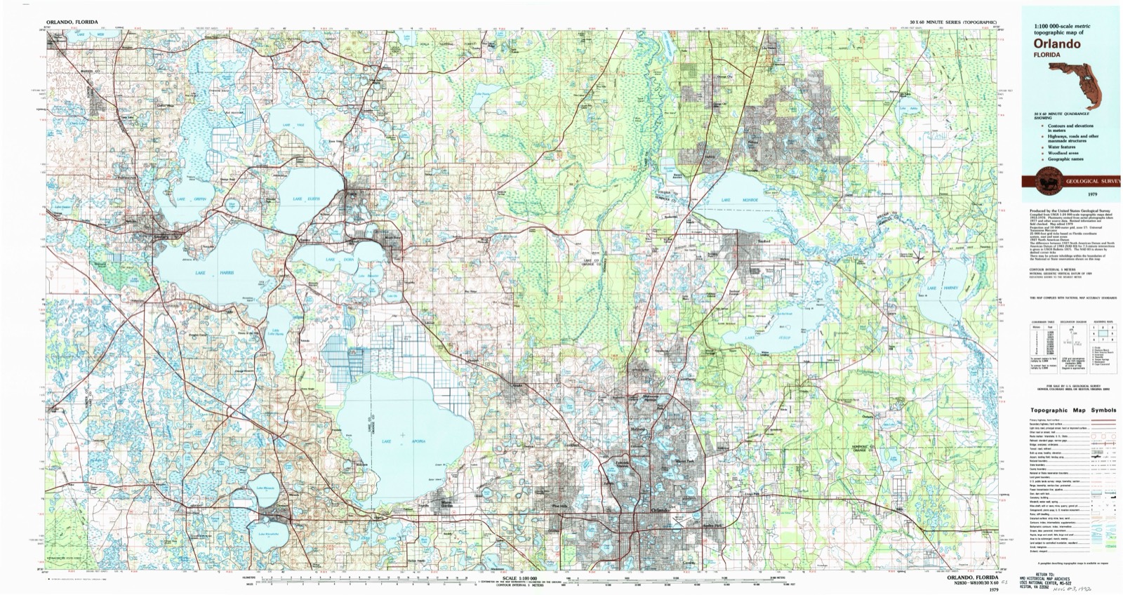
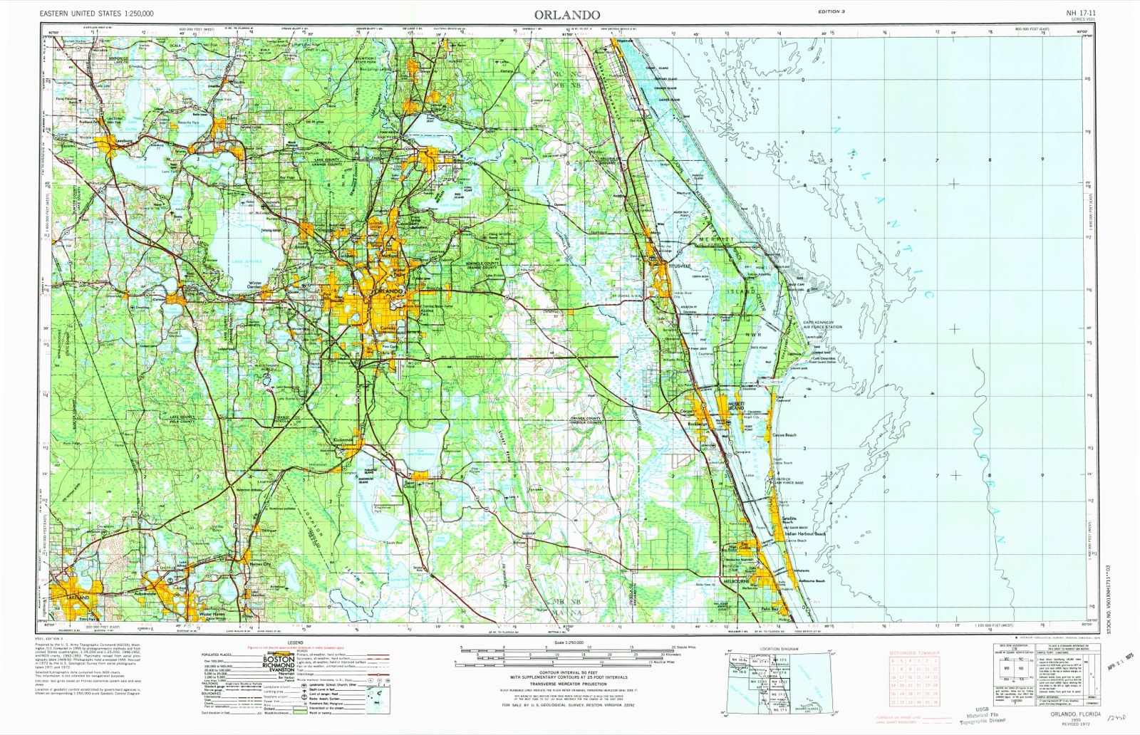
1955 to 1979The same ground, surveyed 24 years apart. Drag the handle to wipe between them. Both sheets are United States Geological Survey originals; neither has been altered.
Topographic sheets covering this place
6 surveys from 14 printed sheetsMatched by testing this settlement's coordinate against the published boundary of every sheet in the United States Geological Survey's historical collection. Each opens the scanned sheet at the Survey.
- 1955 USGS Orlando quadrangle1:250000, 3 printings
- 1957 USGS Orlando quadrangle1:250000
- 1958 USGS Orlando quadrangle1:250000
- 1962 USGS Orlando quadrangle1:250000
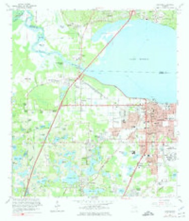
- 1965 USGS Sanford quadrangle1:24000, 5 printings
- 1979 USGS Orlando quadrangle1:100000, 3 printings
Fires near this place
92 since 1992Regional context, not property-specific evidence. The federal wildfire occurrence database lists 92 fires within 5 miles of Lake Monroe between 1992 and 2020, burning about 1,022 acres in total. 30 started naturally. 10 were recorded as arson. Distance is straight-line from the map coordinates, so a fire counted here may appear on a neighbouring settlement's page as well.
| Reported cause | Fires |
|---|---|
| Natural | 30 |
| Railroad operations and maintenance | 24 |
| Missing data/not specified/undetermined | 15 |
| Arson/incendiarism | 10 |
| Equipment and vehicle use | 5 |
| Misuse of fire by a minor | 4 |
| Debris and open burning | 2 |
| Recreation and ceremony | 2 |
The most recent of them, most recent first, with the day each was reported and the service that recorded it.
| Date | Cause | Size | Reported by | Name on the report |
|---|---|---|---|---|
| 18 September 2008 | Natural | under an acre | Florida Forest Service | 2008-10-0738 |
| 31 August 2013 | Natural | under an acre | Florida Forest Service | KONOMAC LAKE (64) |
| 23 August 2007 | Natural | 2.0 acres | Florida Forest Service | WF DUTCHMANS BEND DEBARRY |
| 1 August 2006 | Natural | 1.0 acres | Florida Forest Service | WF WEST HIGH BANKS DEBARRY |
| 8 July 2004 | Natural | 40 acres | Florida Forest Service | not named |
| 8 July 2000 | Natural | 1.5 acres | Florida Forest Service | not named |
| 6 July 2012 | Natural | 7.7 acres | Florida Forest Service | FORT FLORIDA (64) |
| 5 July 1993 | Natural | 3.0 acres | Florida Forest Service | not named |
Settlements close enough to share some of these fires:
Mines and quarries near this place
1 within 5 milesRegional context, not property-specific evidence. The federal mineral resources record lists 1 working within 5 miles of Lake Monroe: 1 unknown. None of them still produces. What was taken out: Sand. Distance is straight-line from the map coordinates, so a quarry counted here may appear on a neighbouring settlement's page as well.
| Where | Site | Commodity | Status | Recorded |
|---|---|---|---|---|
| Dot Oviedo - Oviedo #1 Mine | Sand | Unknown |
Storms near this place
4 since 2012Regional context, not property-specific evidence. The National Weather Service names Lake Monroe in 4 storm reports between 2012 and 2022: 1 thunderstorm wind, 1 heavy rain, 1 tornado, 1 flood. No death or injury is recorded in these reports. Each account below is quoted exactly as the forecast office filed it, from the NOAA Storm Events Database, and each date opens the federal record of that event.
| When | Event | Place named | Harm | What the report says |
|---|---|---|---|---|
| January 2019 | Tornado (EF0) | Lake Monroe | $1,380,000 | A NWS damage survey confirmed an EF-0 tornado occurred in Sanford. The tornado developed from a thunderstorm within a broken squall line which advanced rapidly across the central Florida peninsula during the morning. Peak winds were estimated between 75 and 85 mph, along a path of nearly one half mile, with a width of 175 yards. The tornado moved generally northeast beginning near the intersection of Church Street and Monroe Road in Sanford, crossing a lumber yard, SunRail tracks and dissipating within the Central Florida Zoo. Numerous structures in the lumber yard were damaged or destroyed, two (empty) railway cars were overturned, and several trees were uprooted or snapped along the tornado path. |
| November 2022 | Flood | Lake Monroe | - | Rainfall totals of 4-7 inches, which fell between 0700EST on the 8th and 1500EST on the 10th, led to generally minor street flooding across portions of the county. The St. Johns River at Sanford, which was already in minor flood stage due to remnant effects from Ian, experienced water level rises to moderate flood stage on Thu. Nov. 10. Above Lake Harney at Geneva, the river, which was already in minor flood stage, experienced slow rises into moderate flood stage in the days after. A small number of structures experienced at least some damage according to reports; however, official estimates were unavailable at the time of this writing. |
| June 2016 | Heavy Rain | Lake Monroe | - | Twenty-four hour rainfall totals ending at 0600LST June 7 reached between 2.5 and 4.57 inches at Chuluota, Sanford, Oviedo, Lake Mary and Valdez. |
| June 2012 | Thunderstorm Wind | Lake Monroe | - | Two trees were knocked down as a cluster of severe thunderstorms moved through near Lake Monroe. |
Nearest settlements
The eight closest, with where each one stands in the county. Distances are straight-line, computed from the Geographic Names Information System coordinates.
| Map | Place | Distance | Sheets |
|---|---|---|---|
| Bookertown | 0.4 miles | 14 | |
| Sanford Farms | 0.8 miles | 14 | |
| Saint Josephs | 0.9 miles | 14 | |
| Saint Johns River Estates | 1.1 miles | 14 | |
| Woodruff Springs | 1.5 miles | 14 | |
| Wilson Place | 1.8 miles | 14 | |
| Astor Farms | 1.9 miles | 14 | |
| New Upsala | 2.0 miles | 14 |
Elsewhere
Matched on this settlement's Geographic Names Information System number rather than its name, so it cannot be a different place of the same name in another state.
| Wikipedia article on Lake Monroe | An encyclopaedic summary. Its text is share-alike, so it is linked here rather than copied. |
| Wikidata item Q6476975 | The structured record the population and elevation above come from. Public domain (CC0). |
Provenance
This settlement is recorded in the Geographic Names Information System as feature 285265. The sheet list is computed by point-in-boundary test against the United States Geological Survey's historical topographic inventory. Both are works of the United States government and carry no copyright under 17 U.S.C. 105.
Wildfire. Short, Karen C. 2022. Spatial wildfire occurrence data for the United States, 1992-2020 [FPA_FOD_20221014]. 6th Edition. Fort Collins, CO: Forest Service Research Data Archive. https://doi.org/10.2737/RDS-2013-0009.6 Collected with United States Government funding and usable without additional permissions or fees.
Mines and quarries. USGS Mineral Resources Data System (MRDS) https://mrdata.usgs.gov/mrds/ A work of the United States government, no copyright under 17 U.S.C. 105.
Storms. NOAA National Centers for Environmental Information, Storm Events Database https://www.ncei.noaa.gov/stormevents/ A work of the United States government, no copyright under 17 U.S.C. 105. Narratives are quoted verbatim from the National Weather Service report and are not edited or summarised.