 Block
BlockFrom the record
19 National Register listings published here.
Sources: the National Register database, National Park Service
53 topographic sheets cover 87 settlements here, and 19 properties are on the National Register of Historic Places.
19 National Register listings published here.
Sources: the National Register database, National Park Service
Every property in this county listed on the National Register of Historic Places, with the year it was listed and the federal nomination document.
| Photograph | Property | Type | Listed | Reference |
|---|---|---|---|---|
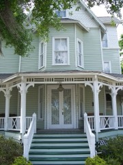 | Bradlee-McIntyre House | building | 1991 | 72000352 |
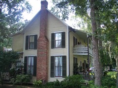 | Browne-King House | building | 2001 | 01001023 |
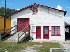 | Estes, R.W. Celery Company Precooler Historic District | district | 2001 | 01001022 |
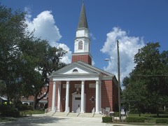 | First Methodist Church of Oviedo | building | 2007 | 07000743 |
| Georgetown Historic District | district | 2020 | 100005670 | |
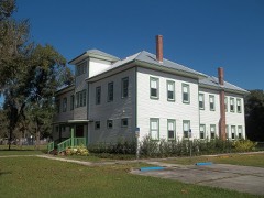 | Hopper Academy | building | 2015 | 15000209 |
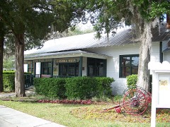 | Lake Mary Chamber of Commerce Building | building | 2004 | 04000022 |
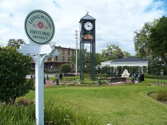 | Longwood Historic District | district | 1990 | 90001480 |
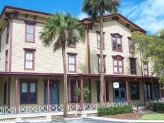 | Longwood Hotel | building | 1984 | 84000963 |
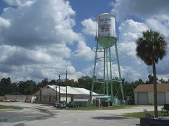 | Nelson and Company Historic District | district | 2001 | 01001010 |
| Nils M. and Beverly Schweizer House | building | 2024 | 100010495 | |
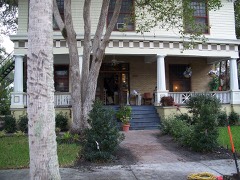 | Old Fernald-Laughton Memorial Hospital | building | 1987 | 87000805 |
 | Ritz Theater | building | 2001 | 00001130 |
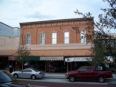 | Sanford Commercial District | district | 1976 | 76000606 |
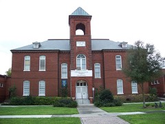 | Sanford Grammar School | building | 1984 | 84000253 |
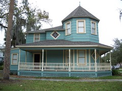 | Sanford Residential Historic District | district | 1989 | 89002119 |
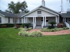 | Seminole County Home | building | 1999 | 99000696 |
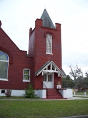 | St. James A. M. E. Church | building | 1992 | 92000352 |
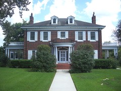 | Wheeler-Evans House | building | 2001 | 01001024 |
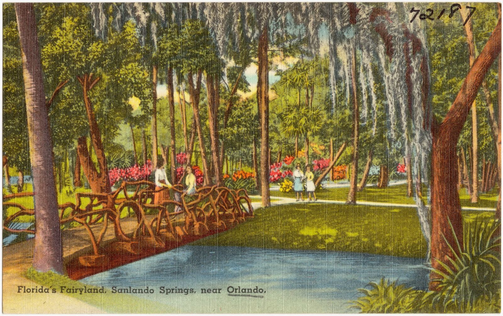
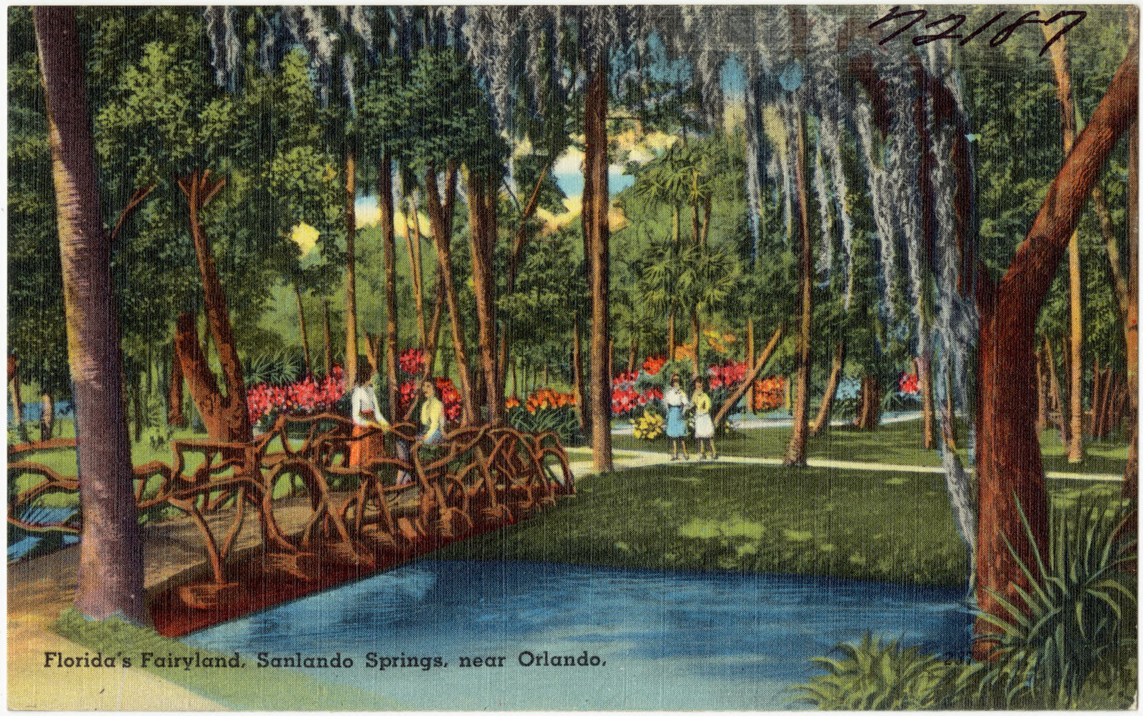
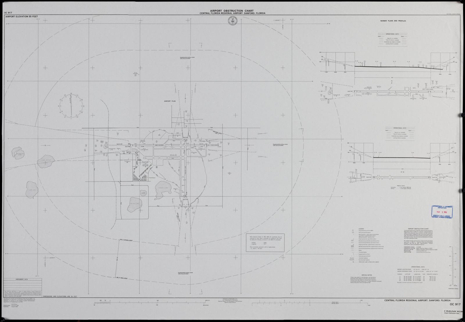
Selected from the Digital Public Library of America's 3 image records catalogued for this county. Every one shown here carries a public-domain status or a licence that permits reuse on a site that carries advertising; non-commercial, share-alike and restricted images are excluded. The selection is spread across the county's towns (at most eight per town), so no single institution's bulk upload crowds out the rest. Each opens the holding library's record, and the complete set at the Digital Public Library of America is one click away.
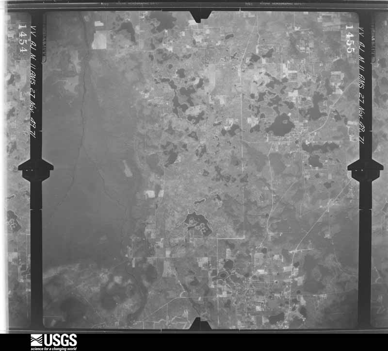
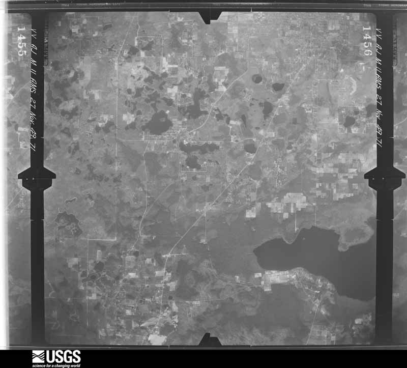
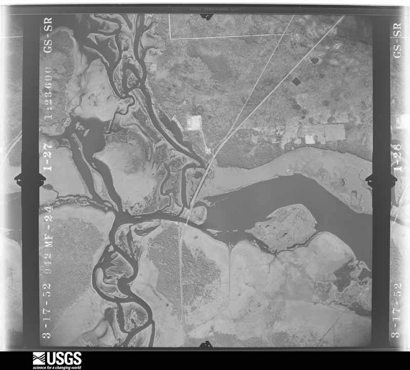
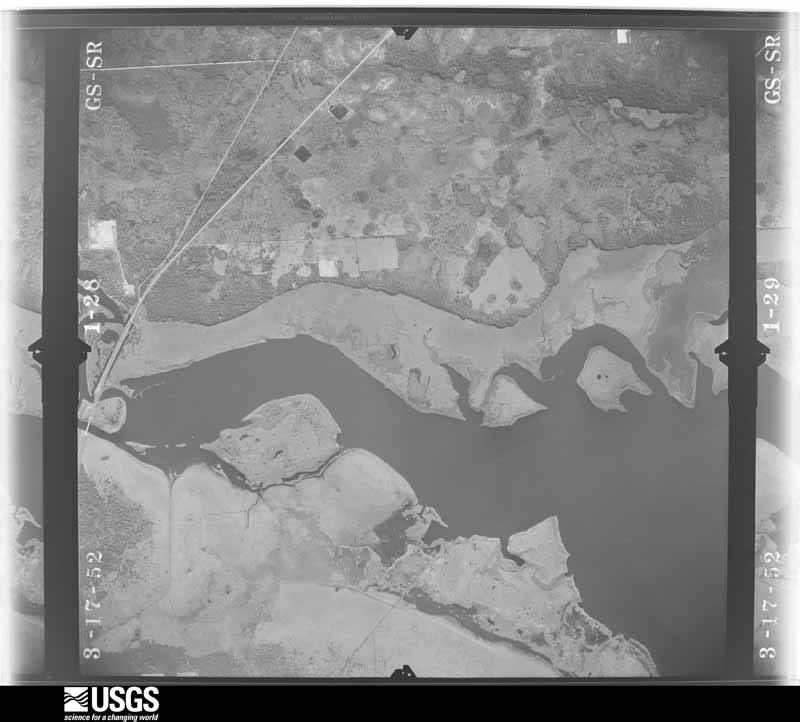
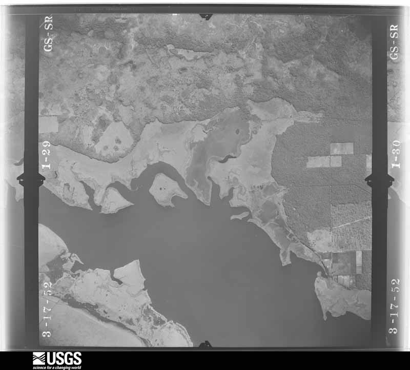
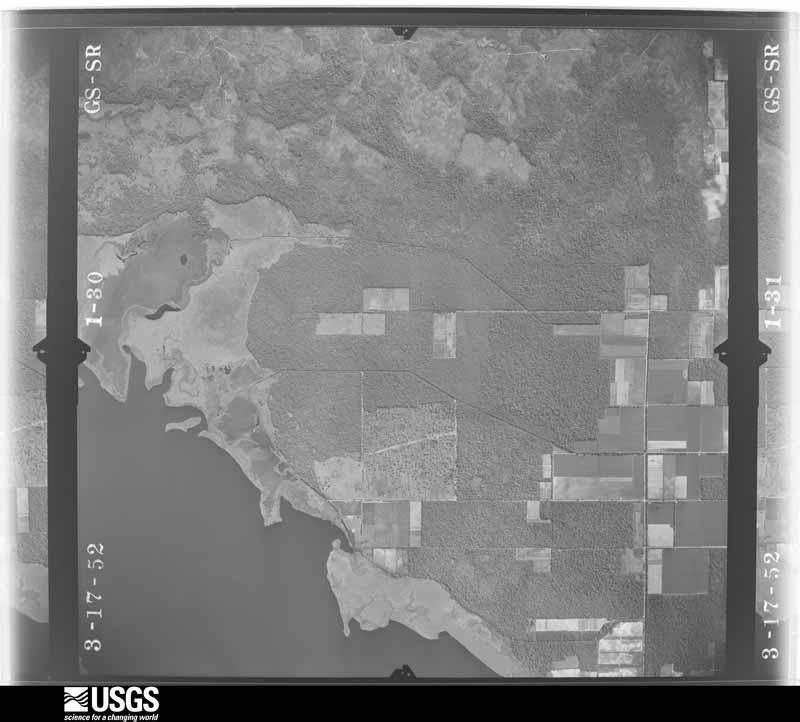
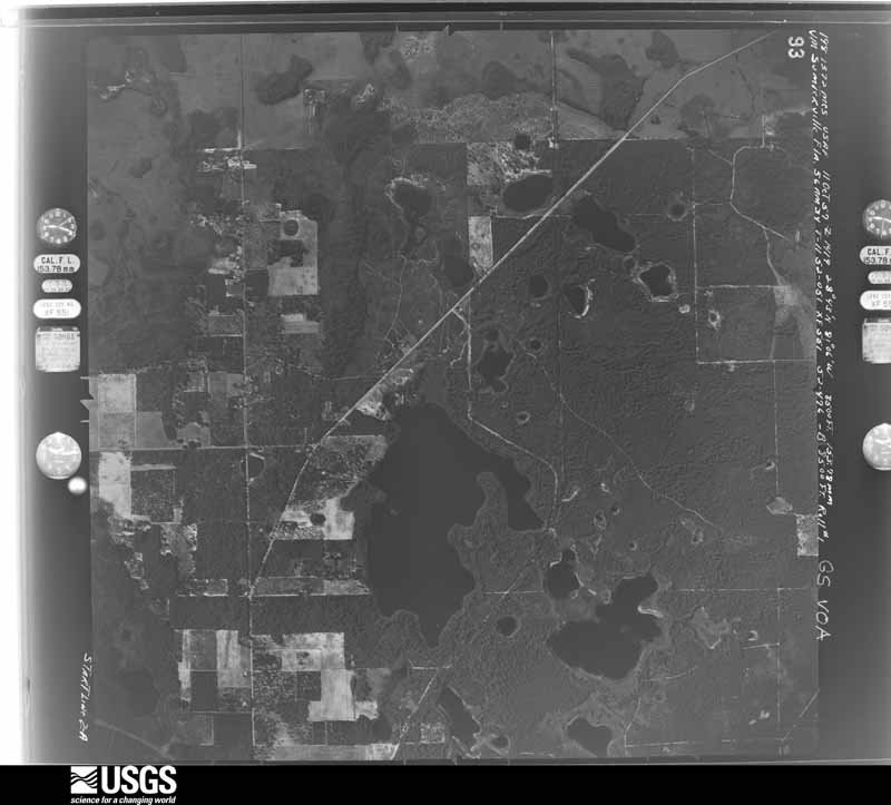
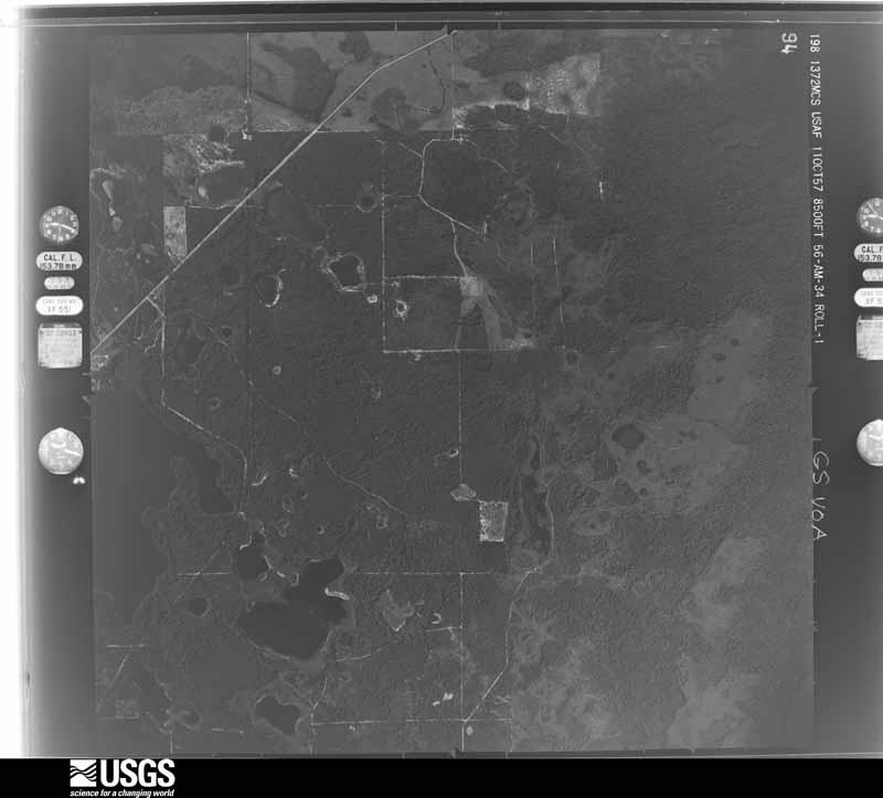
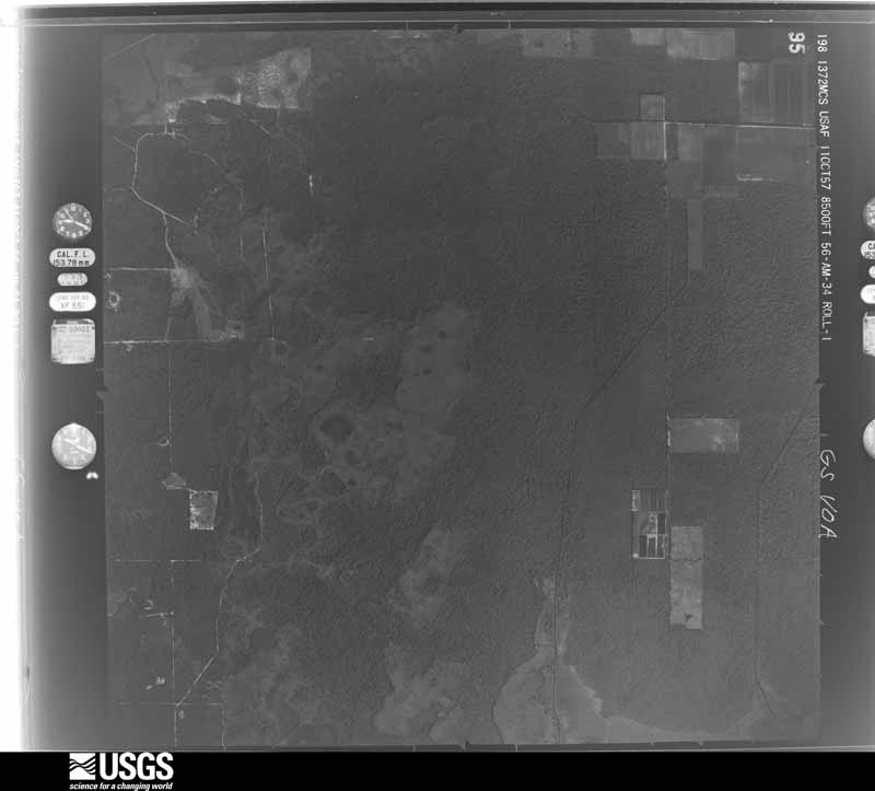
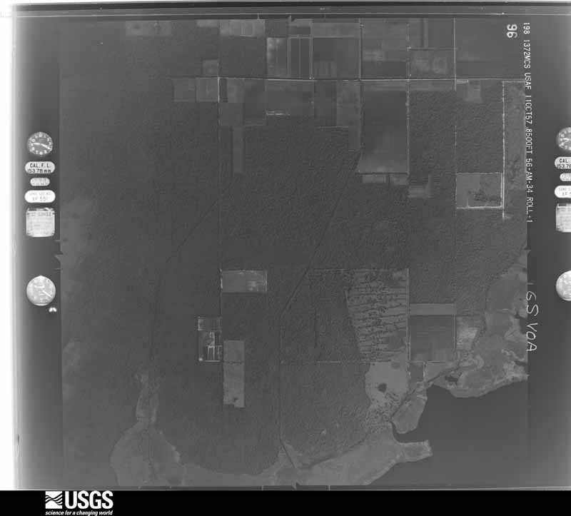
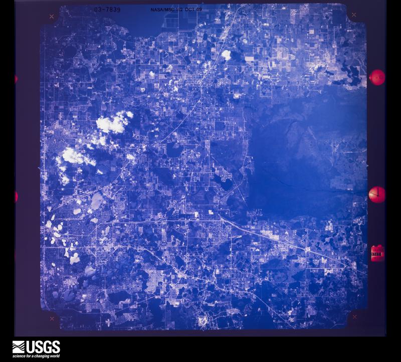
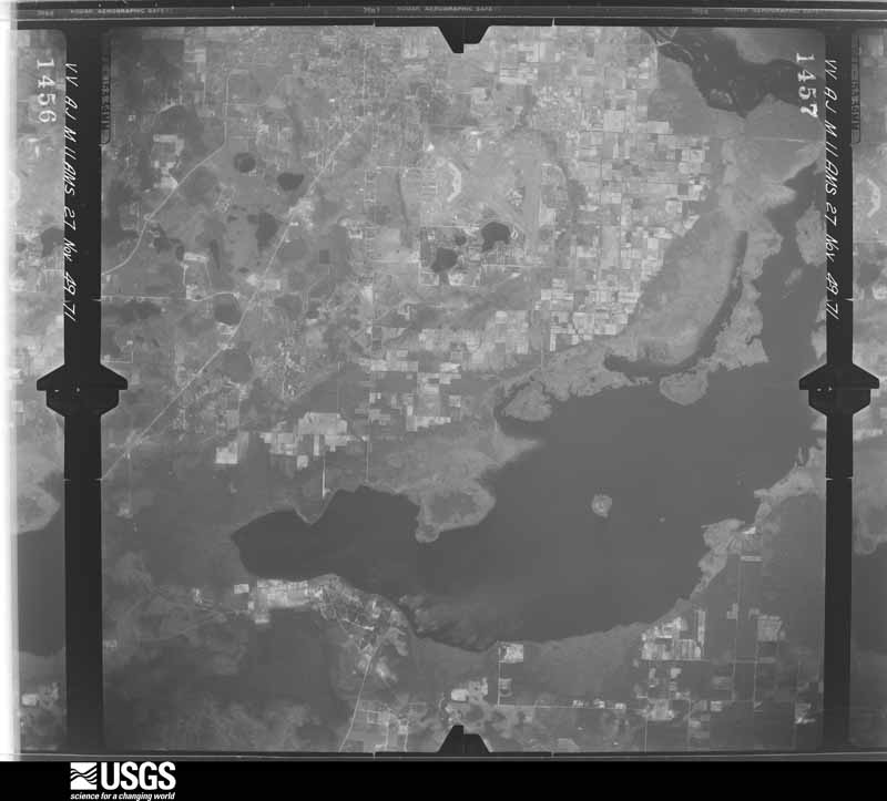
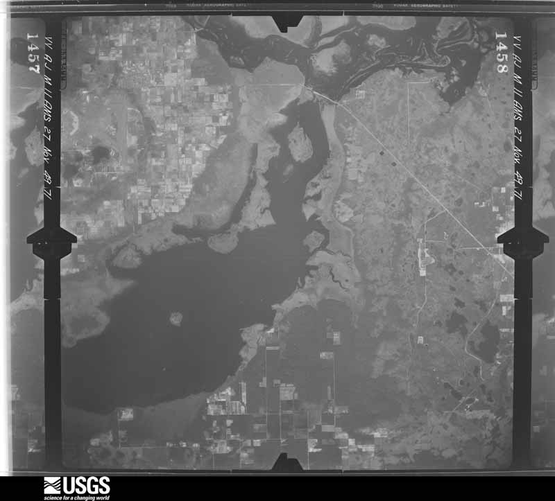
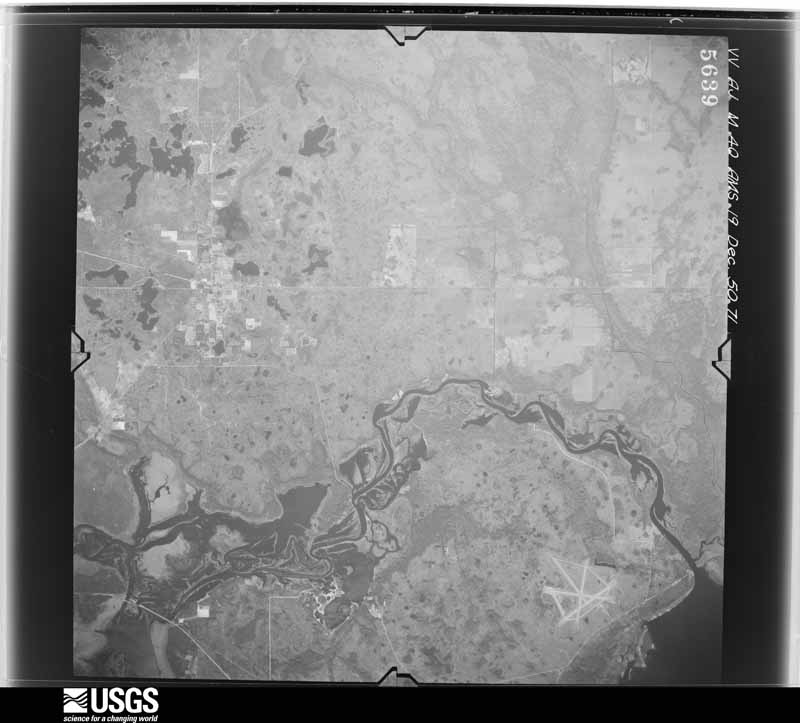
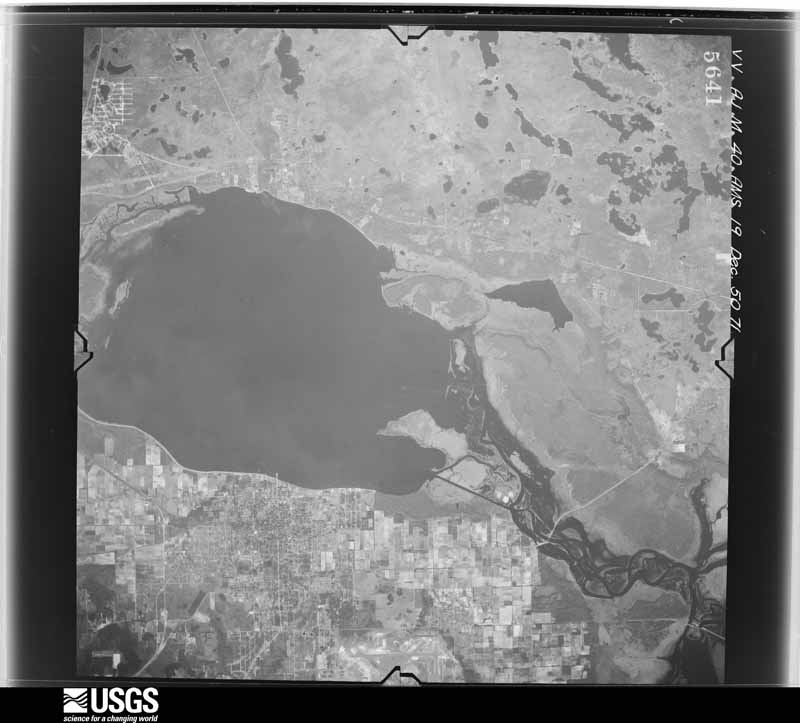
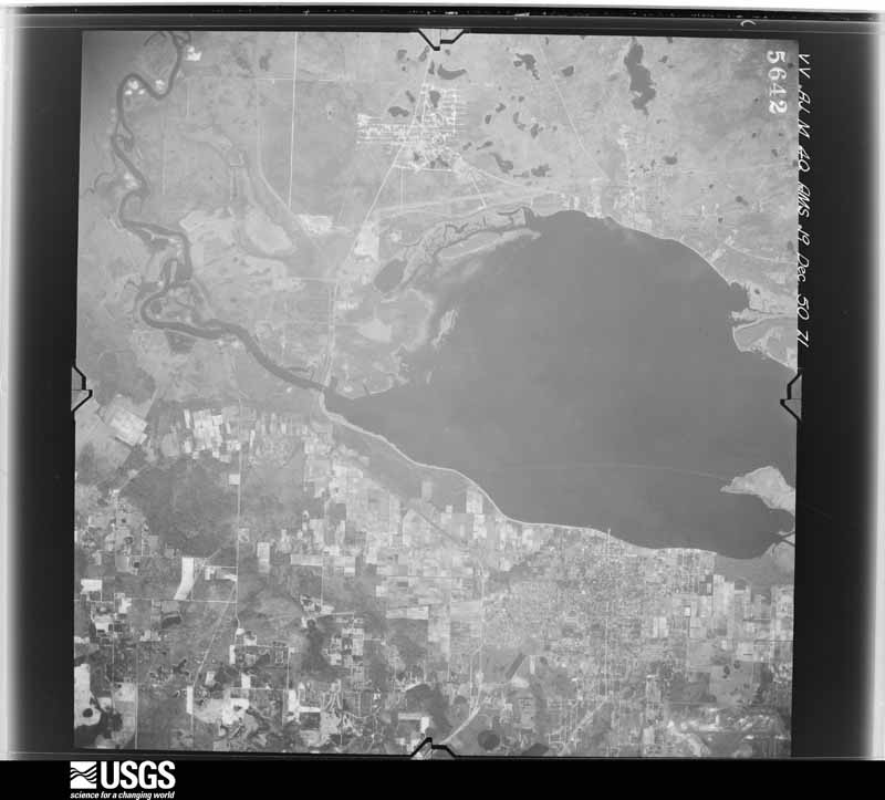
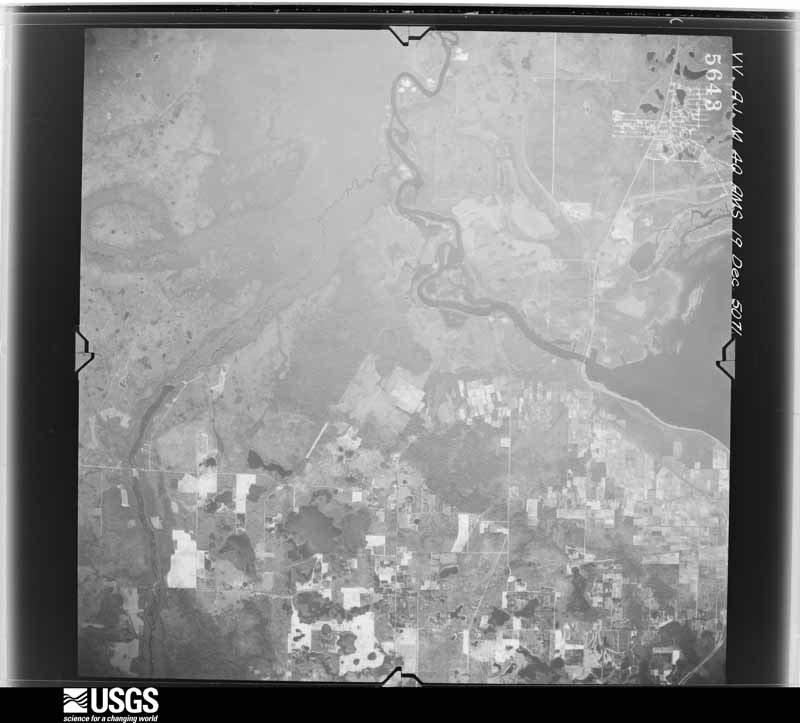
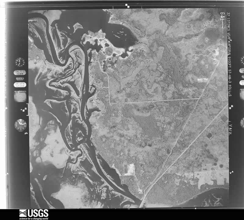
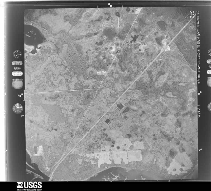
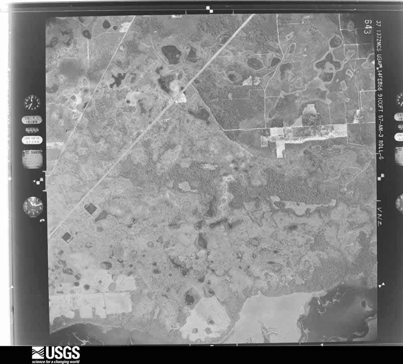
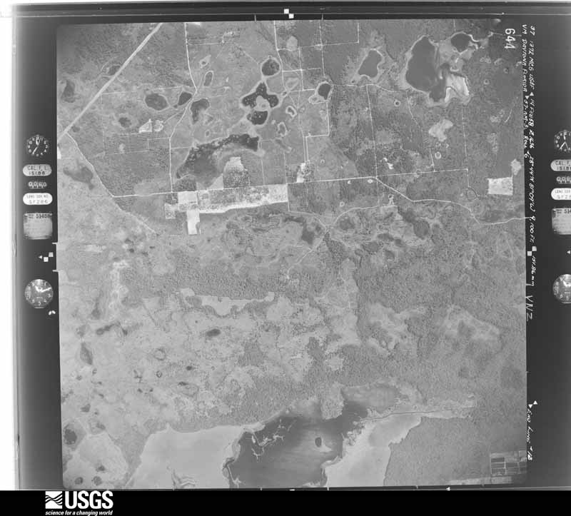
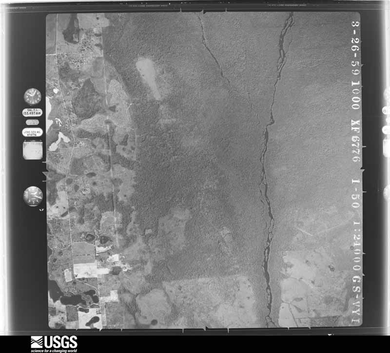
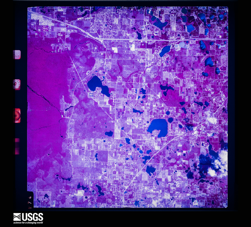
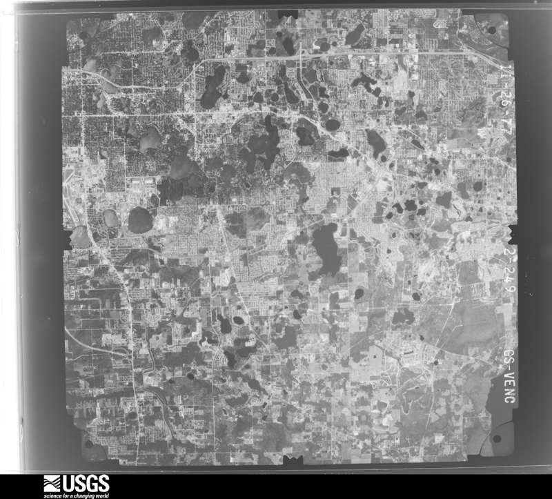
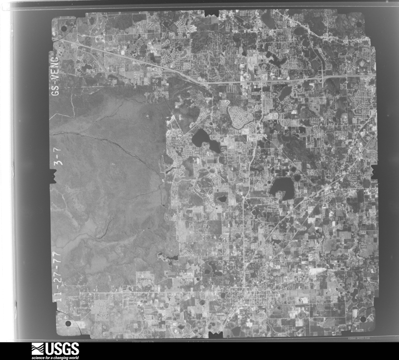
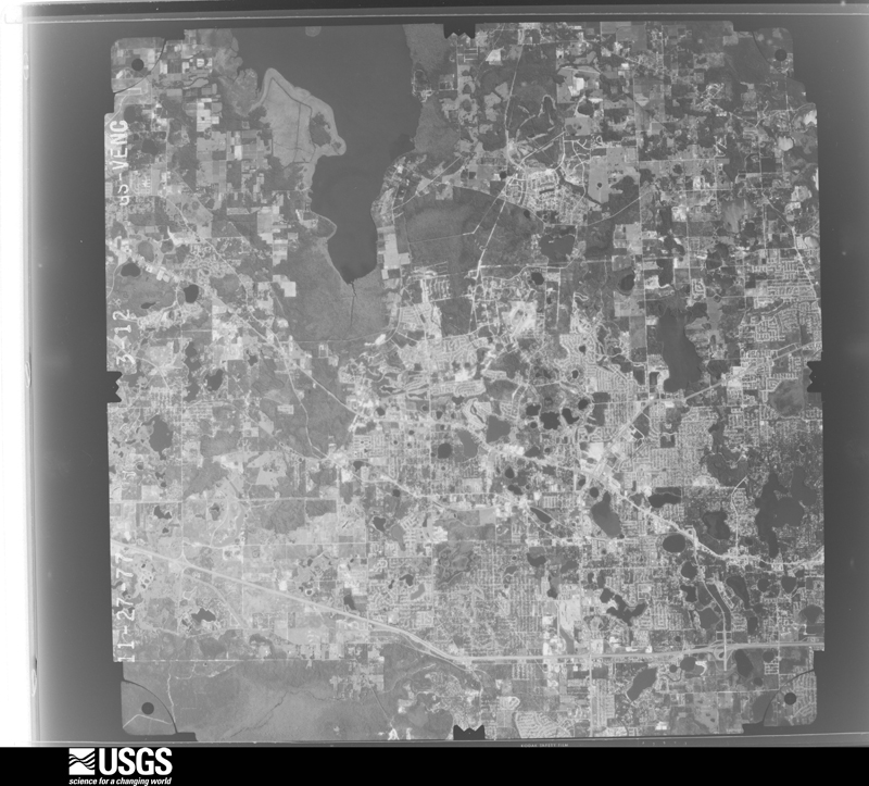
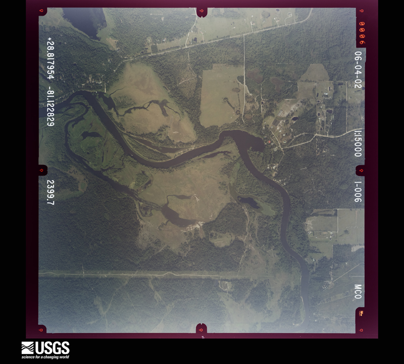
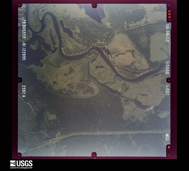
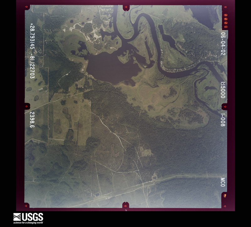
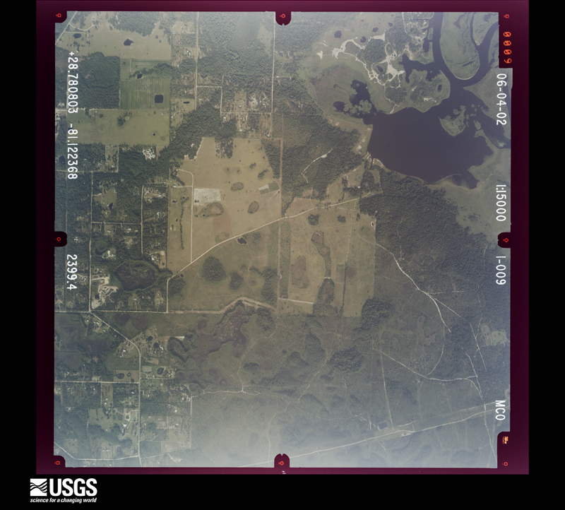
Flown by the U.S. Geological Survey between 1937 and 1989, the Aerial Photo Single Frames collection is the definitive mid-century view of the land: fields, roads and rivers as the camera saw them. The Survey holds 1,126 frames inside the rectangle that bounds this county; the 33 frames below were taken over the county itself, chosen across the decades of flights (at most four a year from that rectangle), so one flight cannot crowd out the rest. The full set is free to browse and download at EarthExplorer under the dataset Aerial Photo Single Frames.



The thermometers that kept this county's weather, and the gages that measured the flow of its streams, as the federal records hold them. The extremes below are measured values from those records, not estimates.
Who lived here in 1950, one enumeration district at a time, as the Census Bureau described each district. Each row opens its official National Archives result, with Population Schedules and ED Maps available there.
Every wildfire the federal occurrence database records inside this county: 478 of them, burning about 10,701 acres. 190 started naturally and 9 were recorded as arson. Each settlement page carries the fires within five miles of it.
| Reported cause | Fires |
|---|---|
| Natural | 190 |
| Railroad operations and maintenance | 138 |
| Missing data/not specified/undetermined | 77 |
| Debris and open burning | 27 |
| Equipment and vehicle use | 16 |
| Arson/incendiarism | 9 |
| Misuse of fire by a minor | 9 |
| Recreation and ceremony | 6 |
| Power generation/transmission/distribution | 4 |
| Fireworks | 1 |
| Other causes | 1 |
The five largest, by the area the report gives. Two of them were set deliberately.
| Date | Cause | Size | Reported by | Name on the report |
|---|---|---|---|---|
| 18 February 2016 | Arson/incendiarism | 3,741 acres | Florida Forest Service | BRUMLEY FLAG (59) |
| 6 June 1998 | Missing data/not specified/undetermined | 2,000 acres | Florida Forest Service | not named |
| 6 March 1996 | Missing data/not specified/undetermined | 780 acres | Florida Forest Service | not named |
| 4 August 1993 | Equipment and vehicle use | 260 acres | Florida Forest Service | not named |
| 18 February 2016 | Arson/incendiarism | 240 acres | Florida Forest Service | FLAG (59) |
| 22 May 2007 | Natural | 200 acres | Florida Forest Service | BROWN COW (03) |
| 8 May 2004 | Missing data/not specified/undetermined | 200 acres | Florida Forest Service | FREEDOM (O-3) |
| 10 April 1998 | Railroad operations and maintenance | 200 acres | Florida Forest Service | not named |
Every settlement page carries the fires within five miles of it - see the settlement index below.
The NOAA Storm Events Database holds 363 reports for this county, causing 17 deaths, 70 injuries and about $343,293,360 in recorded property damage. Each settlement page carries the reports that name it.
| Kind of event | Reports |
|---|---|
| Thunderstorm Wind | 153 |
| Hail | 133 |
| Tornado | 31 |
| Lightning | 15 |
| Funnel Cloud | 13 |
| Flash Flood | 7 |
| Flood | 7 |
| Heavy Rain | 3 |
| Wildfire | 1 |
The most serious of them, by death, then injury, then recorded damage. The accounts are quoted exactly as the forecast office filed them.
| When | Event | Place named | Harm | What the report says |
|---|---|---|---|---|
| February 1998 | Tornado (F3) | Longwood | 12 killed, 36 hurt, $30,000,000 | The Seminole County category F3 tornado was produced by the same supercell that produced the Winter Garden tornado. It initially set down near Longwood and moved northeast at 45 mph. The tornado passed through several neighborhhoods in the southeast portion of Sanford killing 12 people in mobile homes and injuring 70. It continued northeast and crossed into Volusia County 5 miles east of Sanford. The near 200 mph winds of the tornado damaged or destroy 625 structures. |
| August 2022 | Lightning | Winter Spgs | 1 killed, 2 hurt | Seminole County Emergency Management and local broadcast media relayed information about a lightning strike that killed a 42-year-old woman, and injured a 10-year-old girl and 18-year-old woman. The incident occurred near the 1300th block of Park Villa Place in Winter Springs at approximately 1320LST. Bystanders reported that lightning struck a tree just as the three victims were walking nearby. First responders and bystanders performed life saving measures, and all three victims were transported to local hospitals. The 42-year-old woman later died from her injuries, while the 10-year-old and 18-year-old were treated for minor injuries and later released. |
| September 2003 | Lightning | Lake Mary | 1 killed, 2 hurt | A 22 year old man was killed by lightning while fishing under a gazebo at the end of a short pier in a lake. Two teen age boys who were also in the gazebo when the lightning struck were injured. |
| October 2018 | Thunderstorm Wind | Sanford | 1 killed, 1 hurt | The large circulation around Hurricane Michael located near the western tip of Cuba combined with high pressure to the north caused quick-moving showers with gusty winds to move west across central Florida from the Atlantic. As these showers moved over inland lakes, wind gusts of 30 to 40 mph occurred. A boat containing two men who were fishing on Lake Monroe capsized due to choppy seas created by the gusty winds. One man, who was wearing a non-secured life vest, drifted away from the boat and was found deceased the following day. The other man retrieved his lift vest while hanging onto the side of the boat and was rescued nearly 24 hours later. He was transported to a local hospital, suffering from hypothermia and exhaustion and was later released. |
| September 2020 | Lightning | Forest City | 1 killed | A 58 year old man was struck and killed by a lightning strike while grilling outdoors next to a tree. |
| September 2001 | Flood | Winter Spgs | 1 killed | no account filed |
| April 1982 | Tornado (F2) | not stated | 10 hurt, $250,000 | no account filed |
| June 2002 | Lightning | Sanford Arpt | 4 hurt | Five baggage handlers were struck by lightning while loading an aircraft at Sanford International Airport. Four were hospitalized. |
| August 1966 | Tornado (F2) | not stated | 3 hurt, $25,000 | no account filed |
| July 1998 | Wildfire | Countywide | 2 hurt, $30,000,000 | no account filed |
| August 1999 | Thunderstorm Wind | Sanford | 2 hurt, $80,000 | Thunderstorm winds produced widespread damage along the marina area of Sanford. A hotel, several boats, dock houses, and an office building suffered damage. Two people were injured when their car windows were blown out. |
| March 1981 | Tornado (F2) | not stated | 1 hurt, $250,000 | no account filed |
| September 1993 | Thunderstorm Wind | Oviedo | 1 hurt, $50,000 | Severe thunderstorm winds blew down trees and power lines. One tree severely damaged a house injuring one person. |
| July 2024 | Lightning | Forest City | 1 hurt | A 17 year-old male from Altamonte Springs was struck by lightning while outside performing lawn maintenance at his neighbor's home. The victim stated in interviews with local media that rain had just started to fall at the time of the incident. The victim was transported to the hospital and made a full recovery within several days. |
| June 2010 | Thunderstorm Wind | Jones Lndg | 1 hurt | Colliding sea breeze boundaries created a locally severe thunderstorm whose winds toppled a tree onto a mobile home in the Palm Valley Mobile Home Park in Oviedo. A young boy in the home experienced minor injuries to his arm as a result of the falling tree. |
| June 2004 | Lightning | Lake Mary | 1 hurt | A power company worker was injured by a lightning strike while working on power lines. |
| May 2002 | Lightning | Geneva | 1 hurt | A 17 year old boy was struck and injured by lightning while working on a boat ramp. |
| May 1998 | Hail | Winter Spgs | 1 hurt | One inch hail fell in Maitland injuring a woman. One inch hail also fell in Apopka. |
| August 1997 | Lightning | Sanford | 1 hurt | A 41 year old woman was injured by lightning while standing next to a window in a house. |
| September 2022 | Flood | Bear Lake | $241,000,000 | Rainfall totals averaging between 12 to 14 inches, with locally higher amounts of up to 16 inches were reported, resulting in widespread street, urban, and poor drainage flooding. County officials reported significant residential flooding in homes along both the Little and Big Econlockhatchee Rivers near Oviedo, as well as Howell and Gee Creeks in Winter Springs. An on-site survey, combined with county areal photography, confirmed major flooding along the Little Wekiva River, with water entering numerous homes along Little Wekiva Rd. in the Spring Oaks subdivision of Altamonte Springs. See separate entry for details on the significant (flash) flooding event which affected the Spring Oaks subdivision along the Little Wekiva River. ||Widespread inundation occurred along the shores of the St. Johns River and its associated lakes in Seminole County. Lake Harney, where the river crested at a record stage of 12.7 ft. on Oct. 3, flooded numerous structures including the Jolly Gator Fish Camp and homes along Prevatt Rd., Lake Harney Cir., Fort Lane Rd., and Whitcomb Dr. Flooding was reported in communities adjacent to the river near Mullet Lake and north of SR-46 in Geneva. A portion of SR-46, between S. Jungle Rd. and Hatbill Rd., was closed from Oct. 2 - 22. Additional flooding of structures was reported on the south end of Lake Jesup on Lake St. near Overlook Park, as well as in the Black Hammock Community in Oviedo. Further downstream, at Lake Monroe, widespread inundation occurred along the Sanford Waterfront on Seminole Blvd., including residential areas to the east between Mellonville Ave. and Crescent Blvd. More homes were flooded in a community west of the Interstate 4 and US-17 bridges between Missouri Ave. and Canal Dr., as well as along Michigan Ave. near the Black Bear Wilderness Area. The river at Sanford crested at a record stage of 8.96 ft. on Oct. 9th.||A countywide damage assessment indicated 3058 structures affected, 580 with minor damage, 1076 with major damage, and 2 destroyed, mainly due to widespread and historic flooding. The combined effects of Ian led to a total estimated damage of approximately $241M. |
| October 2024 | Flood | Chuluota | $27,000,000 | Seminole County Emergency Management reported significant urban, street, and low-lying flooding as a result of 4 to 8 inches (southeast) 8 to 12 inches (northwest) of rain in association with Hurricane Milton. A period of very heavy rainfall rates associated with the core of the storm led to flash flooding during the overnight period (Oct 9 - 10).||The heavy rain that fell as a result of the storm also led to a long-term river flood event along the St. Johns with the river near Geneva entering major flood on Oct 14, peaking at 10.15 feet on Oct 15. At Deland, the river rapidly rose to major flood stage on Oct 11, peaking at 5.49 ft on Oct. 14. |
| March 2025 | Tornado (EF2) | Forest City | $3,900,000 | The circulation touched down at approximately 9:35 AM EDT near the southeastern edge of Wekiwa Springs State Park where it produced mainly vegetative damage in the form of downed oak and pine trees, with peak winds of 80 to 90 mph. The tornado continued on a northeast trajectory where it crossed a wooded area of the state park and into the Wingfield Reserve subdivision of Longwood. Here, more trees were downed in the vicinity of Alvarado Ct and Wingfield Dr due to winds of 80 to 85 mph.||More substantial damage was noted in the Whispering Winds subdivision where a significant number of oak trees were downed and snapped by EF-1 winds of up to 100 mph. Several residential structures within the subdivision near the intersection of Misty |Morn Pl and Blue Iris Pl experienced significant damage, including numerous blown out windows, damage to garage doors, as well as the loss of part of their roofs and awnings. The tornado likely peaked in this area, where a two-story wood framed home on Blue Iris Pl collapsed due to peak winds estimated up to 120 mph (EF-2 intensity).||The circulation weakened some while moving quickly toward the northeast across Markham Wood Rd and then towards Interstate 4, where mainly tree damage was noted. The tornado impacted a local news station on Skyline Dr before dissipating shortly thereafter at approximately 9:41 AM EDT. |
| January 1978 | Tornado (F2) | not stated | $2,500,000 | no account filed |
| November 2006 | Tornado (F1) | Oviedo | $1,400,000 | An F1 tornado touched down in southern Seminole County just north of Aloma Avenue and moved northeast, crossing the 417 Beltway and lifting along West Chapman Road. The tornado severly damaged four homes. Eight homes had moderate damage and 32 homes and mobile homes had minor damage. |
| January 2019 | Tornado (EF0) | Lake Monroe | $1,380,000 | A NWS damage survey confirmed an EF-0 tornado occurred in Sanford. The tornado developed from a thunderstorm within a broken squall line which advanced rapidly across the central Florida peninsula during the morning. Peak winds were estimated between 75 and 85 mph, along a path of nearly one half mile, with a width of 175 yards. The tornado moved generally northeast beginning near the intersection of Church Street and Monroe Road in Sanford, crossing a lumber yard, SunRail tracks and dissipating within the Central Florida Zoo. Numerous structures in the lumber yard were damaged or destroyed, two (empty) railway cars were overturned, and several trees were uprooted or snapped along the tornado path. |
| June 2009 | Lightning | Oviedo | $700,000 | A 5000 square foot home was destroyed after being hit by lightning during a strong thunderstorm. |
| June 2007 | Lightning | Winter Spgs | $600,000 | Lightning caused a fire that destroyed a home in Winter Springs. |
| May 2025 | Lightning | Paola | $550,000 | Emergency manager reported that a lightning caused fire destroyed a home on Northumbria Dr in Sanford. The house was a total loss. |
| March 2011 | Thunderstorm Wind | Winter Spgs | $500,000 | Twelve homes damaged from severe thunderstorm winds. Three homes sustained severe damage, with the remainder experiencing moderate damage. |
| June 2010 | Lightning | Forest City | $500,000 | Lightning associated with a strong thunderstorm struck a large estate home in the Sweetwater Club subdivision of Longwood. The home became fully engulfed in flames and officials declared it a total loss. |
| November 1990 | Tornado (F1) | not stated | $250,000 | no account filed |
| December 1986 | Tornado (F0) | not stated | $250,000 | no account filed |
| January 1978 | Tornado (F1) | not stated | $250,000 | no account filed |
| June 2012 | Lightning | Longwood | $200,000 | Lightning sparked a house fire on Rangeline Woods Cove, east of Interstate 4 and north of State Road 434 in Longwood. The house suffered extensive damage and one firefighter was injured while fighting the fire. |
| February 1998 | Tornado (F0) | Sanford | $200,000 | A small F-0 tornado touched down in Sanford destroying the roof on a log cabin house. |
| April 2005 | Thunderstorm Wind | Oviedo | $150,000 | Thunderstorm winds blew down trees and produced minor roof damage on five homes near Pine Lake Road. Minor wind damage was also reported at Oviedo Highschool and to a service station awning. A warehouse in the area received major roof damage. |
| June 2005 | Lightning | Lake Mary | $150,000 | Two homes and a sport utility vehicle were heavily damaged by fire caused by lightning in lame Mary. |
| May 2009 | Tornado (EF0) | Casselberry | $100,000 | A EF0 tornado touched down briefly and removed the roofs from a single family home and mobile home. Portions of the roofs and other debris were carried downstream, with large metal pieces deposited in trees. Another 8 homes sustained minor damage. |
| July 2003 | Lightning | Altamonte Spgs | $100,000 | Lightning started a fire in an apartment complex that heavily damaged 8 units. |
| July 2000 | Thunderstorm Wind | Lake Mary | $100,000 | Thunderstorm winds damaged 4 houses and blew down trees in the Lake Mary area. |
| July 1998 | Thunderstorm Wind | Longwood | $65,000 | Severe thunderstorm winds blew down trees and power lines, overturned 7 tractor trailer trucks and damaged the doors on a large warehouse near Longwood. |
| August 2002 | Flash Flood | Sanford | $60,000 | Three inches of rapid rainfall flooded streets and six homes in Sanford. |
| January 1999 | Thunderstorm Wind | Sanford | $50,000 | Thunderstorm winds blew down trees in the Sanford area. The fallen trees damaged two mobile homes and a house. |
| August 1997 | Thunderstorm Wind | Sanford | $45,000 | Thunderstorm winds blew a large tree on to a house causing extensive damage. |
| April 1997 | Thunderstorm Wind | Longwood | $40,000 | Thunderstorm winds blew down trees and damaged the roof of a high school in Longwood. |
| April 1997 | Thunderstorm Wind | Oviedo | $40,000 | Thunderstorm winds blew down a large tree and damaged a school in Oviedo. |
| April 1997 | Thunderstorm Wind | Longwood | $40,000 | Thunderstorm winds blew down trees and damaged the roof of a high school in Longwood. |
| April 1997 | Thunderstorm Wind | Oviedo | $40,000 | Thunderstorm winds blew down a large tree and damaged a school in Oviedo. |
| June 1995 | Thunderstorm Wind | Casselberry | $40,000 | Severe thunderstorm winds blew down numerous trees damaging cars and taking down power lines in Casselberry. Electrical power was knocked out in 7000 homes. |
| January 1999 | Thunderstorm Wind | Geneva | $30,000 | Thunderstorm winds overturned a mobile home near Geneva. |
| July 1983 | Tornado (F1) | not stated | $25,000 | no account filed |
| September 1977 | Tornado (F0) | not stated | $25,000 | no account filed |
| March 1976 | Tornado (F0) | not stated | $25,000 | no account filed |
| July 1972 | Tornado (F2) | not stated | $25,000 | no account filed |
| February 1972 | Tornado (F1) | not stated | $25,000 | no account filed |
| June 1967 | Tornado | not stated | $25,000 | no account filed |
| June 2012 | Thunderstorm Wind | Longwood | $20,000 | Two trees were knocked down in Longwood off of Orlando Avenue producing property damage to a car and house. Photos were obtained. |
| June 2001 | Thunderstorm Wind | Casselberry | $20,000 | Thunderstorm winds blew down numerous trees in the Casselberry area damaging a fast food store. |
| May 1999 | Thunderstorm Wind | Geneva | $20,000 | Thunderstorm winds blew down several trees on a house in Geneva. |
| June 2012 | Thunderstorm Wind | Forest City | $15,000 | A SKYWARN spotter reported a balcony on an apartment complex being damaged by downed trees a quarter mile south of city hall in Altamonte Springs. Several other trees were also downed in the area. A photo was obtained. |
The Survey's mineral resources record lists 12 workings inside this county. 5 still produce and 7 are closed or unrecorded. Each settlement page carries the workings within five miles of it.
| Commodity | Workings |
|---|---|
| Sand | 11 |
| Clay | 1 |
The least common of them first, because a county's hundredth gravel pit says nothing its first ten did not.
| Where | Site | Commodity | Status | Recorded |
|---|---|---|---|---|
| Cds Trucking Corporation - Club Ii Mine | Clay | Unknown | ||
| Cecil A. Stone Co. - Stone Pit | Sand | Producer | ||
| Dot Oviedo - Oviedo #1 Mine | Sand | Unknown | ||
| Excavated Products - Sr 46 Pit | Sand | Producer | ||
| Excavated Products, Inc - Sr 46 | Sand | Producer | ||
| Hubbard Construction - Demetree North Mine | Sand | Unknown | ||
| Marquette Shores, Inc. - Marquette Shores Mine | Sand | Unknown | ||
| Sullivan Materials - Sullivan Materials Mine | Sand | Unknown | Sand | |
| Sullivan Materials - Tuscawilla Units | Sand | Producer | ||
| White Construction Co. - S.R. 427 Mine | Sand | Producer | ||
| White Construction Company, Inc. - Fdot Mine | Sand | Unknown | ||
| White Construction Company, Inc. - Pineway Mine | Sand | Unknown |
Named settlements recorded in the Geographic Names Information System, each with the topographic sheets covering it. Villages, hamlets and abandoned places alike. Each is shown with the nearest named watercourse or landform and the survey quadrangle it falls on.
Oviedo census division · 32765 · Near Mitchell Hammock · Oviedo quadrangle
14 sheets, 1955 to 1979
Sanford census division · 32779 · On Little Wekiva River · Sanford SW quadrangle
13 sheets, 1955 to 1979
Casselberry-Altamonte Springs census division · 32701 · Casselberry quadrangle
15 sheets, 1955 to 1994
Sanford census division · 32771 · On Beck Hammock · Osteen quadrangle
12 sheets, 1955 to 1979
Sanford census division · 32773 · On Reedy Creek · Osteen quadrangle
12 sheets, 1955 to 1979
Sanford census division · 32771 · Near Beck Hammock · Osteen quadrangle
12 sheets, 1955 to 1979
Casselberry-Altamonte Springs census division · 32707 · Casselberry quadrangle
15 sheets, 1955 to 1994
Oviedo census division · 32766 · On Mills Branch · Geneva quadrangle
14 sheets, 1953 to 1979
Casselberry-Altamonte Springs census division · 32708 · By Caldwell Point · Casselberry quadrangle
15 sheets, 1955 to 1994
Sanford census division · 32773 · Near Eureka Hammock · Casselberry quadrangle
15 sheets, 1955 to 1994
Casselberry-Altamonte Springs census division · 32730 · Casselberry quadrangle
15 sheets, 1955 to 1994
Casselberry-Altamonte Springs census division · 32703 · Forest City quadrangle
15 sheets, 1955 to 1995
Sanford census division · 32771 · Near Beck Hammock · Osteen quadrangle
12 sheets, 1955 to 1979
Oviedo census division · 32765 · On Sweetwater Creek · Oviedo quadrangle
14 sheets, 1955 to 1979
Sanford census division · 32771 · On Mills Creek · Sanford quadrangle
14 sheets, 1955 to 1979
Casselberry-Altamonte Springs census division · 32750 · Casselberry quadrangle
15 sheets, 1955 to 1994
Casselberry-Altamonte Springs census division · 32750 · Casselberry quadrangle
15 sheets, 1955 to 1994
Sanford census division · 32771 · Near Beck Hammock · Osteen quadrangle
12 sheets, 1955 to 1979
Sanford census division · 32773 · Near Eureka Hammock · Casselberry quadrangle
15 sheets, 1955 to 1994
Oviedo census division · 32765 · On Sweetwater Creek · Oviedo quadrangle
14 sheets, 1955 to 1979
Casselberry-Altamonte Springs census division · 32701 · Forest City quadrangle
15 sheets, 1955 to 1995
Oviedo census division · 32765 · Near Mitchell Hammock · Oviedo quadrangle
14 sheets, 1955 to 1979
Sanford census division · 32771 · On Woodruff Creek · Osteen quadrangle
12 sheets, 1955 to 1979
Sanford census division · 32771 · Sanford quadrangle
14 sheets, 1955 to 1979
Sanford census division · 32771 · On Mills Creek · Sanford quadrangle
14 sheets, 1955 to 1979
Casselberry-Altamonte Springs census division · 32750 · Forest City quadrangle
15 sheets, 1955 to 1995
Sanford census division · 32771 · On Mills Creek · Sanford quadrangle
14 sheets, 1955 to 1979
Oviedo census division · 32765 · Near Mitchell Hammock · Oviedo quadrangle
14 sheets, 1955 to 1979
Sanford census division · 32771 · Sanford quadrangle
14 sheets, 1955 to 1979
Oviedo census division · 32765 · Near Black Hammock · Oviedo quadrangle
14 sheets, 1955 to 1979
Casselberry-Altamonte Springs census division · 32708 · On Gee Creek · Casselberry quadrangle
15 sheets, 1955 to 1994
Casselberry-Altamonte Springs census division · 32714 · Forest City quadrangle
15 sheets, 1955 to 1995
Casselberry-Altamonte Springs census division · 32779 · Forest City quadrangle
15 sheets, 1955 to 1995
Oviedo census division · 32708 · On Howell Creek · Oviedo quadrangle
14 sheets, 1955 to 1979
Casselberry-Altamonte Springs census division · 32708 · On Soldier Creek · Casselberry quadrangle
15 sheets, 1955 to 1994