 Block
BlockMacclenny, Florida
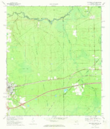
12 topographic sheets cover this place, the earliest surveyed in 1917 and the latest in 1981. It stands in the Macclenny census division. It lies in ZIP code area 32063. The Survey maps it on the Macclenny East quadrangle. 7,304 people lived here at the 2020 count. It stands 131 feet above sea level.
Research this city
Then and now
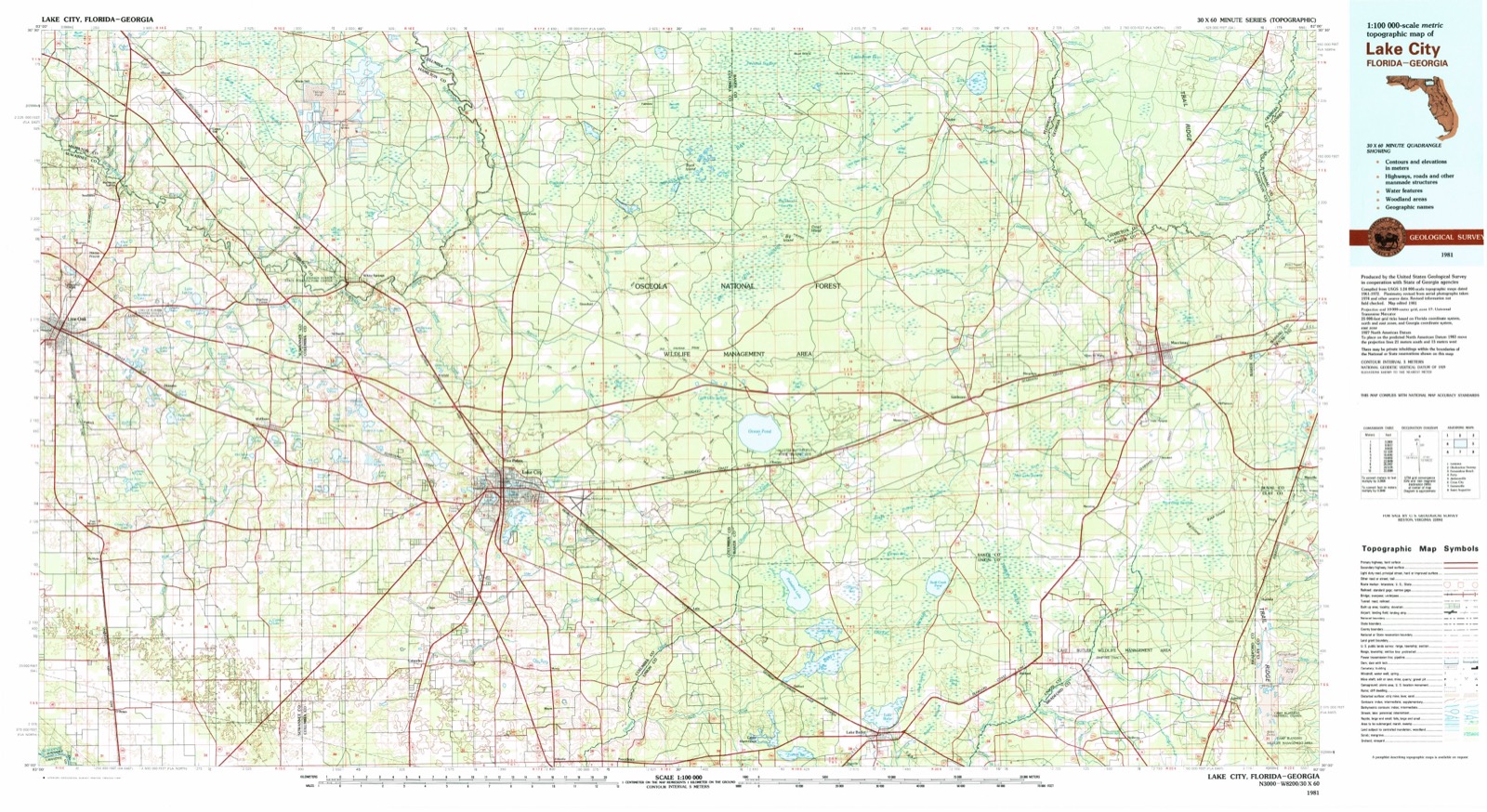
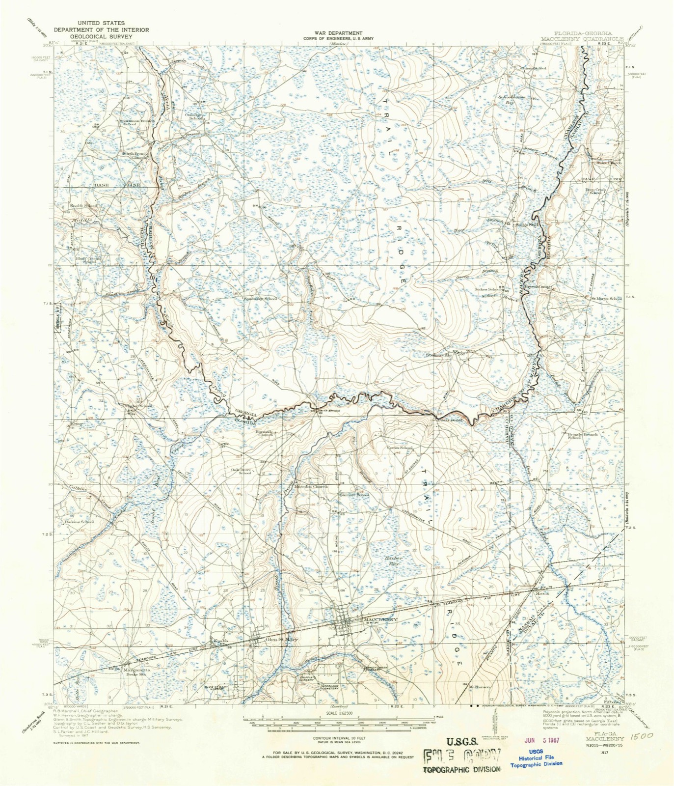
1917 to 1981The same ground, surveyed 64 years apart. Drag the handle to wipe between them. Both sheets are United States Geological Survey originals; neither has been altered.
Compare 1917 against another survey:
On record in Macclenny
Buildings and businesses the archive holds for this place. Each opens its own page, with the source record it came from.
On the National Register 1 record
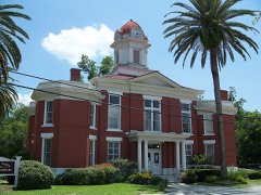 Old Baker County Courthouselisted 1986
Population over time
2 figuresMacclenny grew from 6,374 to 7,304 between 2010 and 2020. These are the recorded population figures Wikidata holds for this place, reached through the Geographic Names Information System number this page is keyed on rather than by name, so they belong to this place and not to another of the same name. Most are census counts, but not all are: an early figure may be a founding or settlement estimate, and an estimate published within five years of a census is left out. The change column is computed, and is left blank where more than 20 years separate a figure from the one before it, because a gap that long is not a change between two counts.
| Year | People | Change |
|---|---|---|
| 2010 | 6,374 | |
| 2020 | 7,304 | +930 (+15%) |
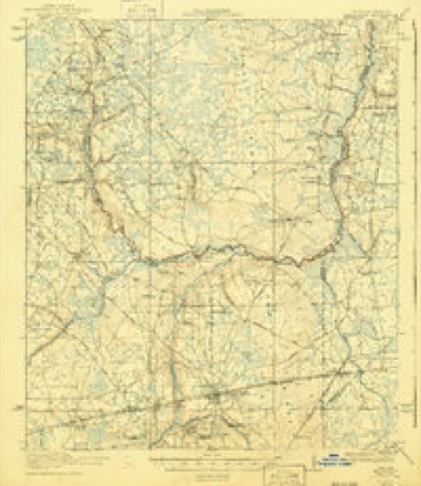
Topographic sheets covering this place
7 surveys from 12 printed sheetsMatched by testing this settlement's coordinate against the published boundary of every sheet in the United States Geological Survey's historical collection. Each opens the scanned sheet at the Survey.
- 1917 USGS Macclenny quadrangle1:62500
- 1918 USGS Macclenny quadrangle1:62500, 4 printings
- 1954 USGS Valdosta quadrangle1:250000, 2 printings
- 1958 USGS Valdosta quadrangle1:250000
- 1959 USGS Valdosta quadrangle1:250000
- 1972 USGS Macclenny East quadrangle1:24000
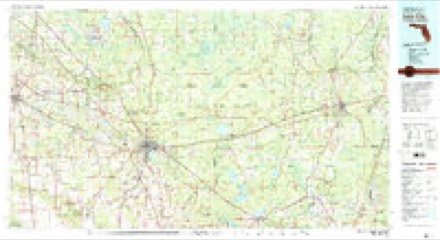
- 1981 USGS Lake City quadrangle1:100000, 2 printings
Fires near this place
302 since 1992Regional context, not property-specific evidence. The federal wildfire occurrence database lists 302 fires within 5 miles of Macclenny between 1992 and 2020, burning about 2,220 acres in total. 49 started naturally. 23 were recorded as arson. Distance is straight-line from the map coordinates, so a fire counted here may appear on a neighbouring settlement's page as well.
| Reported cause | Fires |
|---|---|
| Equipment and vehicle use | 91 |
| Natural | 49 |
| Debris and open burning | 37 |
| Railroad operations and maintenance | 37 |
| Missing data/not specified/undetermined | 30 |
| Arson/incendiarism | 23 |
| Misuse of fire by a minor | 22 |
| Recreation and ceremony | 6 |
| Power generation/transmission/distribution | 4 |
| Smoking | 3 |
The most recent of them, most recent first, with the day each was reported and the service that recorded it.
| Date | Cause | Size | Reported by | Name on the report |
|---|---|---|---|---|
| 30 September 2019 | Debris and open burning | under an acre | Florida Forest Service | BOB BURNSED ROAD (02) |
| 16 September 1997 | Natural | 3.0 acres | Florida Forest Service | not named |
| 7 August 2014 | Natural | 2.0 acres | Florida Forest Service | O AND I BOUNDARY (16) |
| 7 August 2013 | Smoking | under an acre | Florida Forest Service | SMOKEY ROAD |
| 31 August 2013 | Natural | under an acre | Florida Forest Service | ODIS YARBOROUGH RD (02) |
| 31 August 2011 | Natural | 92 acres | Florida Forest Service | RD 72 (02) |
| 29 August 2011 | Equipment and vehicle use | 4.0 acres | Florida Forest Service | MACEDONIA HAY (02) |
| 25 August 2018 | Natural | 14 acres | Florida Forest Service | STEEL BRIDGE RD (02) |
Settlements close enough to share some of these fires:
Specimens collected near this place
12 of 1,370 shownRegional context, not property-specific evidence. Museums hold 1,370 specimens collected within 10 miles of Macclenny between 1887 and 1975: 1,209 Animalia, 102 Plantae, 58 Fungi, 1 Protozoa. 12 distinct Species records are shown. Collected by A H Curtiss, A. H. Antonie, A. H. Curtiss and others. Each is a physical object with a catalogue number, and each entry opens the museum's record. This is what was collected and kept, not a survey of what lives here - nothing can be concluded from a species being absent.
| Image | Species | Year | Collected by | Where, as recorded |
|---|---|---|---|---|
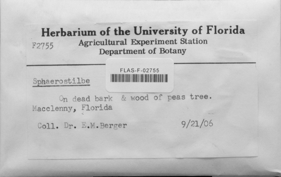 | Sphaerostilbe | 1906 | E.M. Berger | Macclenny |
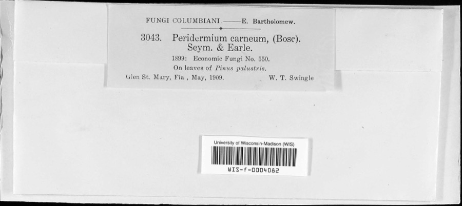 | Coleosporium vernoniae Berk. & Curt. | 1909 | W.T. Swingle | Glen St. Mary |
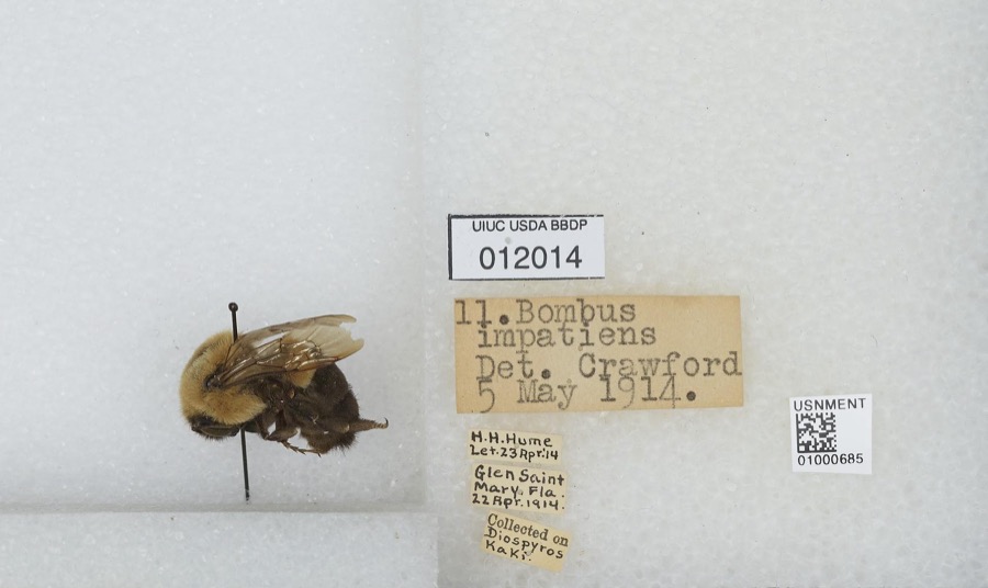 | Bombus impatiens Cresson, 1863 | 1914 | H. Hume | Glen Saint Mary |
| Pinguicula caerulea Walter | 1887 | H.M.H. | Macclenny | |
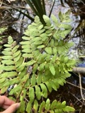 | Osmunda regalis L. | 1890 | Alice J. Heading | Macclenny.<br/> |
| Ludwigia linearis Walter | 1897 | A. H. Curtiss | McClenny. | |
| Schizachyrium tenerum Nees | 1897 | A. H. Curtiss | McClenny. | |
| Scleria distans Poir. | 1897 | A. H. Curtiss | Near Maclenny, Fla. | |
| Woodwardia angustifolia Sm. | 1897 | A. H. Curtiss | McClenny. | |
| Rorippa teres (Michx.) Stuckey | 1899 | L. H. Lighthipe | Low grounds, Glen St. Mary. | |
 | Castanea dentata (Marshall) Borkh. | 1900 | Curtiss, A.H. | |
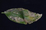 | Elsinoe fawcettii Bitanc. & Jenkins | 1904 | Rolfs P. H. | Glen St. Mary |
All 1,370 specimens within 10 miles, at the Global Biodiversity Information Facility.
Storms near this place
60 of 80 shownRegional context, not property-specific evidence. The National Weather Service names Macclenny in 80 storm reports between 1995 and 2025: 41 thunderstorm wind, 14 hail, 12 heavy rain, 7 flood. The reports record 4 injuries. Each account below is quoted exactly as the forecast office filed it, from the NOAA Storm Events Database, and each date opens the federal record of that event.
| When | Event | Place named | Harm | What the report says |
|---|---|---|---|---|
| April 2015 | Lightning | Macclenny | 2 hurt | A lightning strike in Macclenny injured two. A structure fire was also caused. The cost of damage was unknown. |
| May 2022 | Lightning | Macclenny | 1 hurt | A person was struck by lightning north of Macclenny. The person was alert when medics arrived. |
| June 2013 | Thunderstorm Wind | Macclenny | 1 hurt | Winds blew down trees and power lines, which injured one person SSE of Macclenny. |
| October 1996 | Flash Flood | Macclenny | $600,000 | no account filed |
| February 1998 | Thunderstorm Wind | Macclenny | $25,000 | Mobile home destroyed |
| May 1997 | Thunderstorm Wind | Macclenny | $8,000 | A portion of a farm supply business was destroyed. |
| July 2000 | Thunderstorm Wind | Macclenny | $5,000 | Large trees and power lines were blown down. |
| July 1996 | Flash Flood | Macclenny | $5,000 | no account filed |
| April 1998 | Thunderstorm Wind | Macclenny | $3,500 | Large trees and power lines were blown down. |
| June 2001 | Thunderstorm Wind | Macclenny | $3,000 | Large trees were uprooted on the North end of CR 121. |
| April 2000 | Thunderstorm Wind | Macclenny | $3,000 | Large trees were blown down. |
| August 2000 | Thunderstorm Wind | Macclenny | $2,500 | Large trees and power lines were blown down. |
| January 2000 | Thunderstorm Wind | Macclenny | $2,500 | Large trees and power lines were blown down. |
| August 1999 | Thunderstorm Wind | Macclenny | $2,500 | Large trees and power lines were blown down. |
| June 1998 | Thunderstorm Wind | Macclenny | $2,500 | Large trees and power lines were blown down. |
| March 1998 | Thunderstorm Wind | Macclenny | $2,500 | Large trees and power lines were blown down. |
| August 2022 | Flood | Macclenny | $2,000 | Emergency manager reported that the steel bridge road was closed. All addresses east of steel bridge road were unable to be reached due to flooding from the St. Marys river. As of 5 pm EDT, the St. Marys river near Macclenny is in minor flood stage at a height of 12.78 ft. This type of impact typically occurs when the river reaches 15 ft. Steel bridge road was reopened on Sept 1st. |
| August 2000 | Thunderstorm Wind | Macclenny | $2,000 | Large trees and power lines were blown down. |
| July 1996 | Thunderstorm Wind | Macclenny | $2,000 | no account filed |
| June 1998 | Thunderstorm Wind | Macclenny | $1,500 | Large trees and power lines were blown down. |
| June 1998 | Thunderstorm Wind | Macclenny | $1,500 | Large trees and power lines were blown down. |
| August 2022 | Flood | Macclenny | $1,000 | Baker county dispatch reported flooding ongoing in Macclenny along US-90. Ditches and low lying spots were inundated with ponding of water, some water was encroaching homes. |
| July 1996 | Thunderstorm Wind | Macclenny | $500 | no account filed |
| July 2025 | Heavy Rain | Macclenny | - | FSWN Macclenny Raiford Road Church site reported 2.13 inches of rain fall from 2 pm to 3 pm. |
| January 2025 | Heavy Rain | Macclenny | - | Mesonet station GW1567 MACCLENNY measured rainfall of 4.83 inches in the past 12 hrs as of 6:30 am 1/19/2025. |
| May 2024 | Thunderstorm Wind | Macclenny | - | Tree limbs were broken and some shingles blown off. The time of damage was based on radar. |
| December 2023 | Heavy Rain | Macclenny | - | A mesonet site near Macclenny measured 4.07 inches of storm total rainfall. |
| July 2023 | Thunderstorm Wind | Macclenny | - | A tree was blown down near the intersection of North County Road 23A and North Tall Pine Road. The time of damage was based on radar. |
| July 2023 | Thunderstorm Wind | Macclenny | - | A tree was blown down at the cross section of Cooper Creek Drive and North County Road 23A. The time of damage was based on radar. |
| November 2023 | Heavy Rain | Macclenny | - | A mesonet station in Macclenny measured a 24 hour rainfall of 2.99 inches. |
| December 2023 | Flood | Macclenny | - | Minor flooding impacted US Highway 90 through Macclenny. |
| August 2022 | Heavy Rain | Macclenny | - | Mesonet station gw1567 macclenny measured about 3.30 inches of rain. |
| September 2022 | Flood | Macclenny | - | All lanes of U.S. Highway 90 near the intersection of East Enterprise Blvd were closed in Macclenny due to flood water. |
| July 2021 | Flood | Macclenny | - | Turkey Creek overflowed it's bank and flooded a road south of Lowder Street. |
| July 2021 | Thunderstorm Wind | Macclenny | - | A pine tree was blown down near the intersection of State Road 121 and southern State Nursery Road. The tree was about 6 inches in diameter. The time of damage was based on radar. |
| July 2021 | Thunderstorm Wind | Macclenny | - | Trees were uprooted and snapped near State Road 121 and Jeff Starling Road. |
| February 2020 | Thunderstorm Wind | Macclenny | - | Wind damage was reported about 2 miles SE of Glen St. Mary which included 1 inch tree limbs broken and shingles blown off of structures. The time of damage was based on radar. |
| February 2020 | Thunderstorm Wind | Macclenny | - | Wind damage was reported about 2 miles south of Macclenny where 1-inch tree limbs were broken and shingles were blown off of structures. Time of damage was based on radar. |
| July 2020 | Thunderstorm Wind | Macclenny | - | A tree was blown down at the Baker County Sheriff office. The time of the event was based on radar. |
| December 2020 | Thunderstorm Wind | Macclenny | - | A tree was blown down across State Road 121 at 13490 N SR 121 near the weigh station. It blocked both lanes. A car crashed into the tree, but no injuries occurred. Occupants were trapped inside due to a power line on the vehicle. |
| December 2020 | Thunderstorm Wind | Macclenny | - | A tree was blown down onto power lines at 6288 Chestnut Road and at 6238 George Hodges Road. The time of damage was based on radar. |
| December 2020 | Thunderstorm Wind | Macclenny | - | Power lines and trees were blown down at 12417 N State Road 121. Power lines were also blown down across State Road 121. The time of damage was based on radar. |
| December 2020 | Thunderstorm Wind | Macclenny | - | A power line was blown down and hanging in the parking lot at 391 West Macclenny Ave. |
| April 2019 | Thunderstorm Wind | Macclenny | - | A large tree was blown down near the intersection of East Shuey Ave and Milton St. Time of damage was based on radar. |
| July 2019 | Heavy Rain | Macclenny | - | A WeatherStem mesonet site at the Wal-Mart distribution center measured rainfall of 2.64 inches in about 45 minutes. |
| March 2018 | Hail | Macclenny | - | Widespread 1 hail was reported near Macclenny. |
| July 2018 | Heavy Rain | Macclenny | - | Since 5 pm, 5.24 of rainfall was measured. |
| June 2018 | Thunderstorm Wind | Macclenny | - | A cable pole was blown down and damage two vehicles. The time of damage was based on radar. |
| August 2017 | Thunderstorm Wind | Macclenny | - | Power lines were blown down on South Blvd East. The time of damage was based on radar. |
| September 2016 | Heavy Rain | Macclenny | - | The public measured 3.43 inches of rainfall a couple miles south of Macclenny since 5:30 pm. |
| April 2015 | Thunderstorm Wind | Macclenny | - | A tree was blown down on a power line at Deer Creek Lane and County Road 23A. |
| January 2014 | Thunderstorm Wind | Macclenny | - | A spotter measured a wind gust to 60 mph as the squall line moved through his location. |
| April 2014 | Hail | Macclenny | - | Quarter size hail was observed north of Macclenny per photos from a local news station website. The hail size was estimated from photos on the news station website. |
| March 2014 | Heavy Rain | Macclenny | - | An observer south of Macclenny measured 3.28 inches of storm total rainfall. |
| February 2013 | Hail | Macclenny | - | Quarter size hail was reported. |
| February 2013 | Hail | Macclenny | - | Quarter size hail was reported on Interstate 10. |
| August 2013 | Heavy Rain | Macclenny | - | Four hour rainfall total was measured at 4.02 inches. Flooding was reported along dirt roads and in yards. |
| October 2012 | Thunderstorm Wind | Macclenny | - | Multiple reports of trees and power lines blown down were relayed to the NWS. The time of damage was based on radar. |
| January 2011 | Hail | Macclenny | - | Penny size hail was reported in Macclenny. |
| May 2011 | Thunderstorm Wind | Macclenny | - | Trees were blown down in Macclenny. The time was based on radar. |
Nearest settlements
The eight closest, with where each one stands in the county. Distances are straight-line, computed from the Geographic Names Information System coordinates.
| Map | Place | Distance | Sheets |
|---|---|---|---|
| Glen Saint Mary | 2.1 miles | 14 | |
| LaBuena | 3.0 miles | 13 | |
| Pine Top | 3.2 miles | 14 | |
| McPherson | 3.3 miles | 13 | |
| Bessent | 4.2 miles | 13 | |
| Steckert | 4.9 miles | 12 | |
| Margaretta | 5.4 miles | 14 | |
| Manning | 7.9 miles | 12 |
Elsewhere
Matched on this settlement's Geographic Names Information System number rather than its name, so it cannot be a different place of the same name in another state.
| Wikipedia article on Macclenny | An encyclopaedic summary. Its text is share-alike, so it is linked here rather than copied. |
| Wikidata item Q985363 | The structured record the population and elevation above come from. Public domain (CC0). |
Provenance
This settlement is recorded in the Geographic Names Information System as feature 286243. The sheet list is computed by point-in-boundary test against the United States Geological Survey's historical topographic inventory. Both are works of the United States government and carry no copyright under 17 U.S.C. 105.
Wildfire. Short, Karen C. 2022. Spatial wildfire occurrence data for the United States, 1992-2020 [FPA_FOD_20221014]. 6th Edition. Fort Collins, CO: Forest Service Research Data Archive. https://doi.org/10.2737/RDS-2013-0009.6 Collected with United States Government funding and usable without additional permissions or fees.
Specimens. Global Biodiversity Information Facility (GBIF), https://www.gbif.org/. Only records licensed CC0 or CC BY are used. Records licensed CC BY-NC are excluded because this site carries advertising. Images are checked individually and any whose licence is non-commercial, no-derivatives or unreadable is refused.
Storms. NOAA National Centers for Environmental Information, Storm Events Database https://www.ncei.noaa.gov/stormevents/ A work of the United States government, no copyright under 17 U.S.C. 105. Narratives are quoted verbatim from the National Weather Service report and are not edited or summarised.