 Block
BlockFrom the record
4 National Register listings published here.
Sources: the National Register database, National Park Service
51 topographic sheets cover 19 settlements here, and 4 properties are on the National Register of Historic Places.
4 National Register listings published here.
Sources: the National Register database, National Park Service
Every property in this county listed on the National Register of Historic Places, with the year it was listed and the federal nomination document.
| Photograph | Property | Type | Listed | Reference |
|---|---|---|---|---|
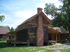 | Burnsed Blockhouse | building | 1973 | 73000567 |
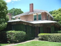 | Glen Saint Mary Nurseries Company | district | 2003 | 03001111 |
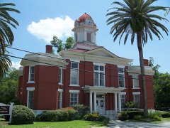 | Old Baker County Courthouse | building | 1986 | 86001729 |
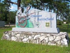 | Olustee Battlefield | site | 1970 | 70000177 |
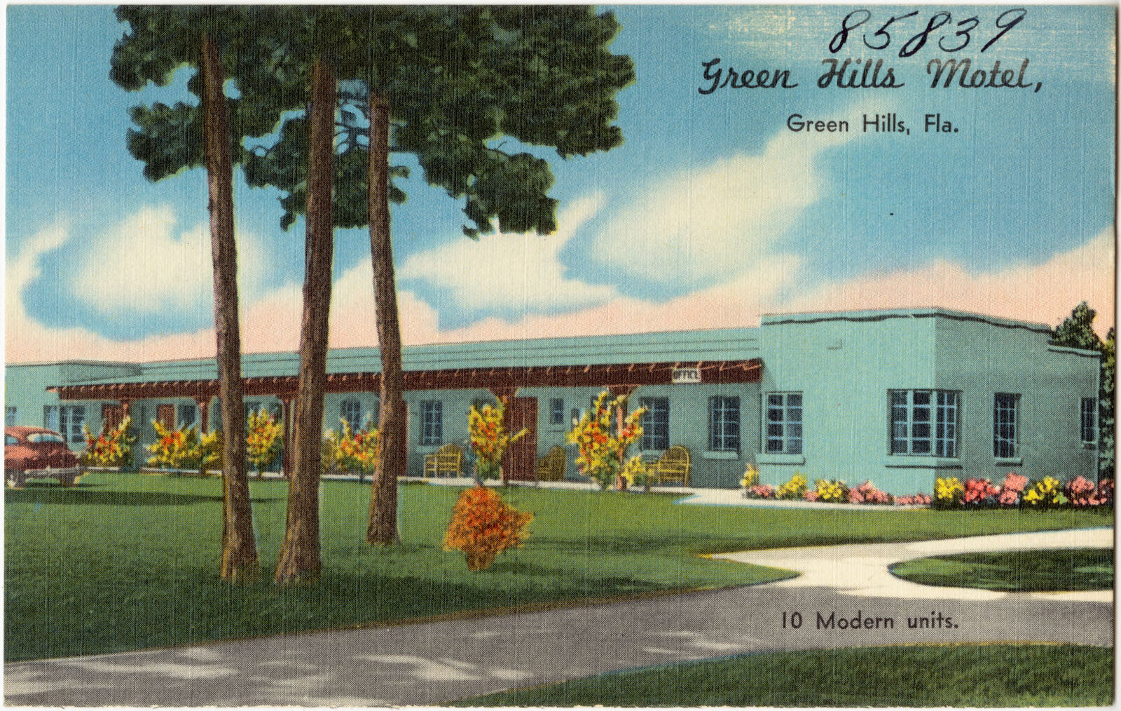
Selected from the Digital Public Library of America's 3 image records catalogued for this county. Every one shown here carries a public-domain status or a licence that permits reuse on a site that carries advertising; non-commercial, share-alike and restricted images are excluded. The selection is spread across the county's towns (at most eight per town), so no single institution's bulk upload crowds out the rest. Each opens the holding library's record, and the complete set at the Digital Public Library of America is one click away.
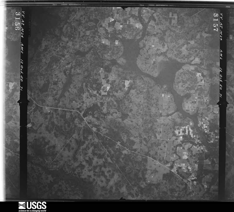
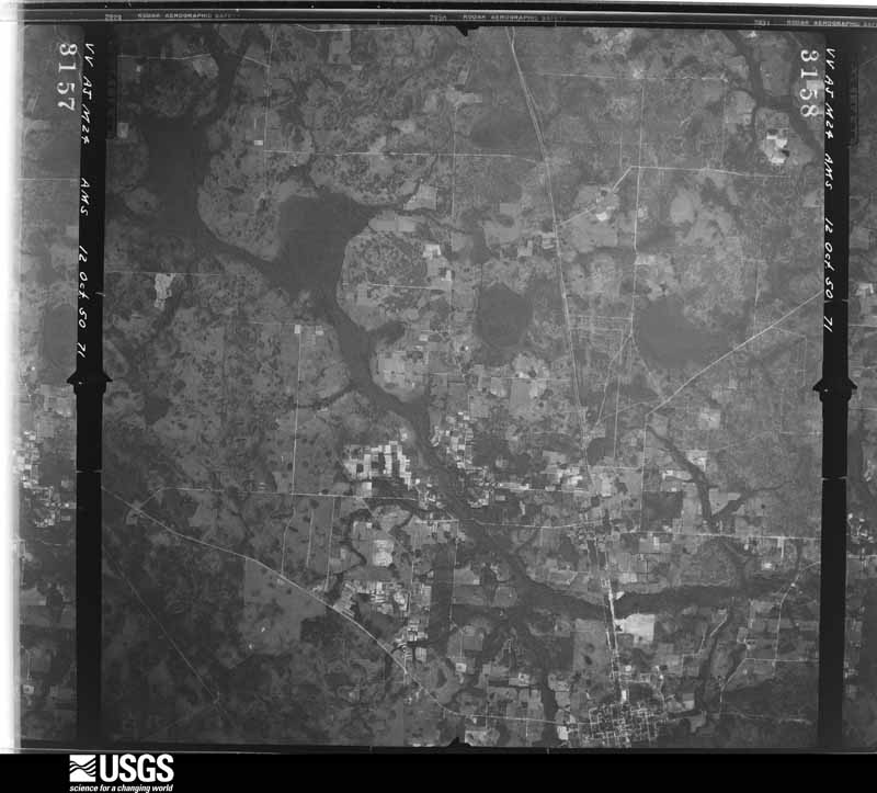
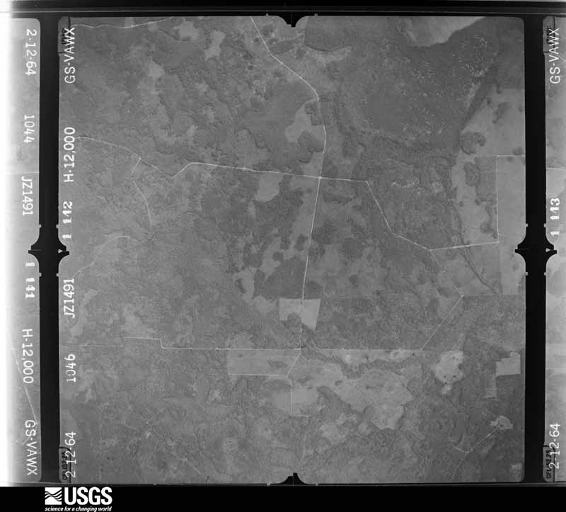
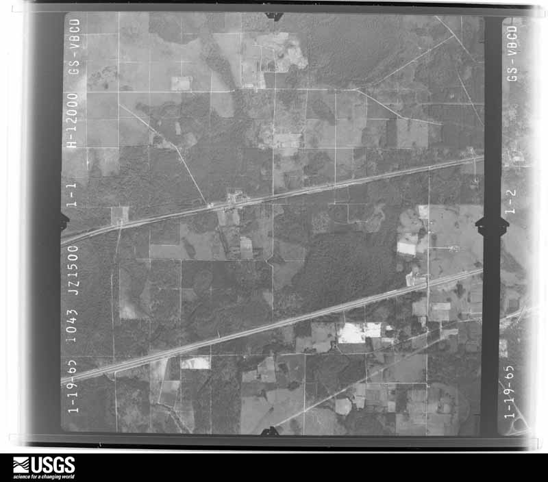
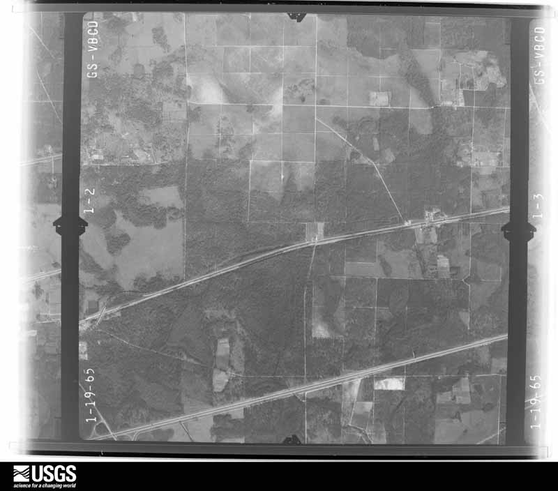
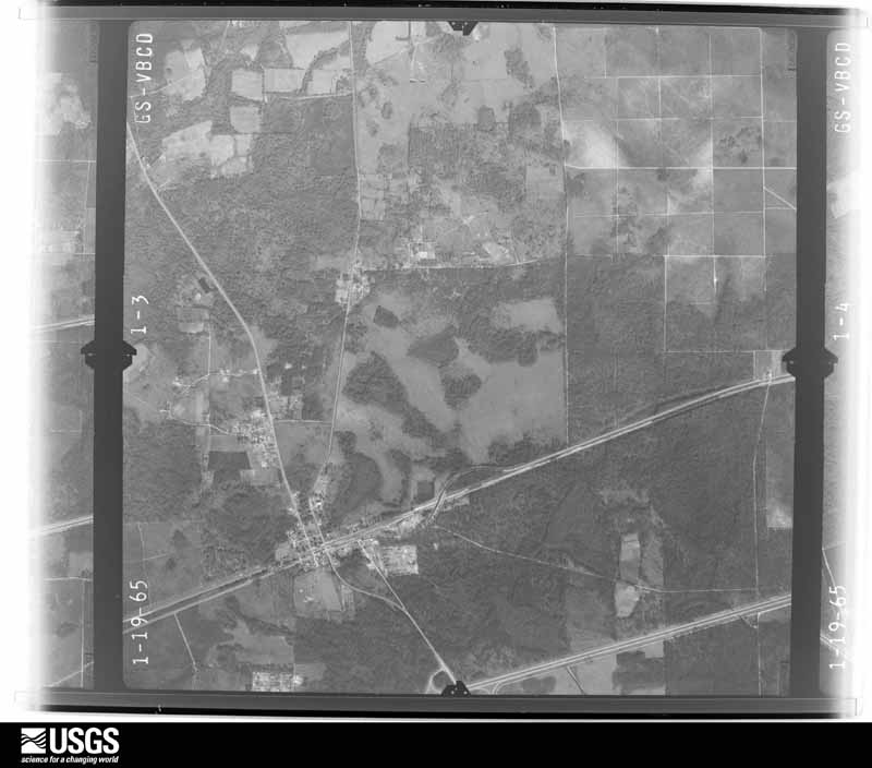
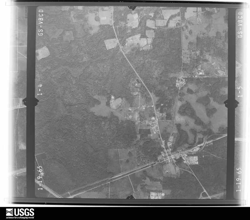
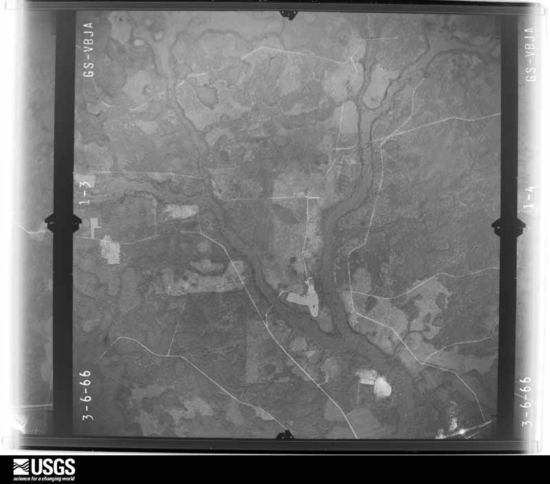
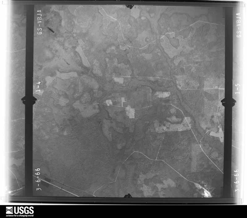
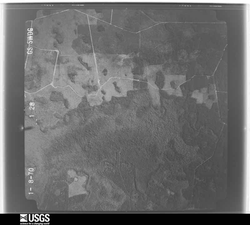
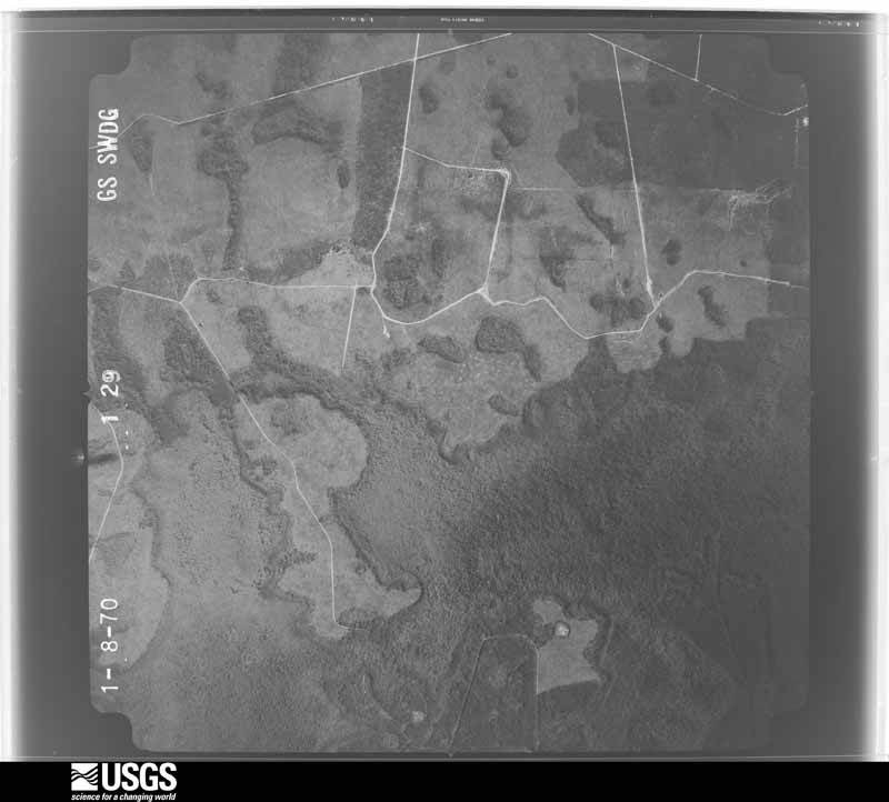
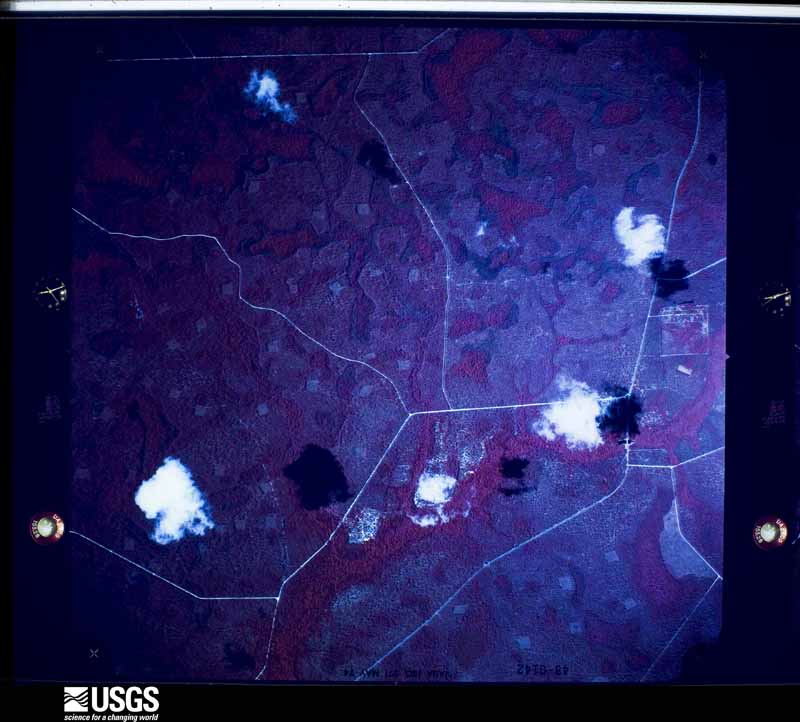
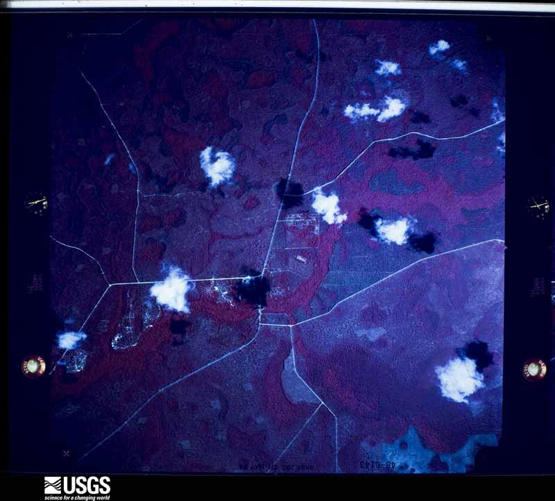
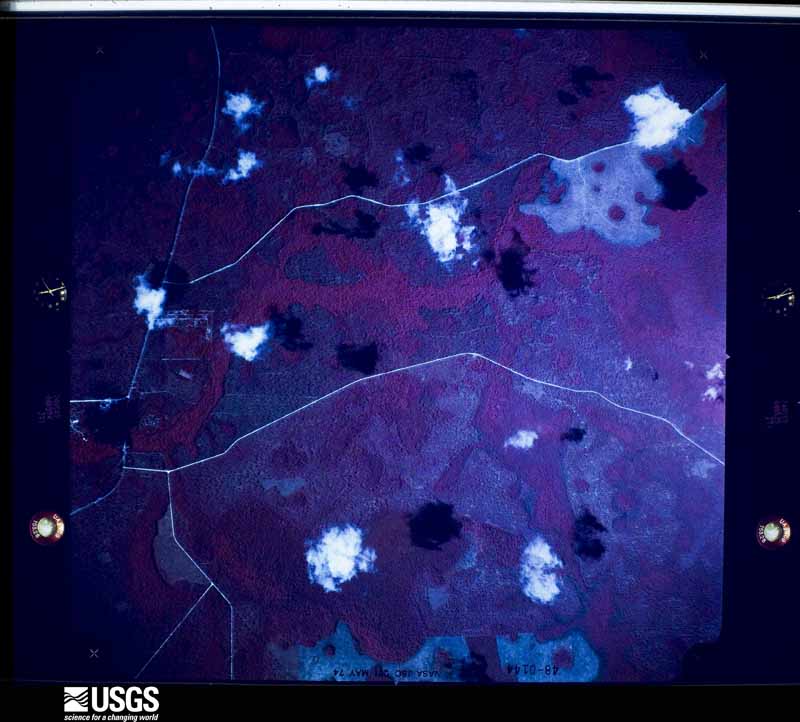
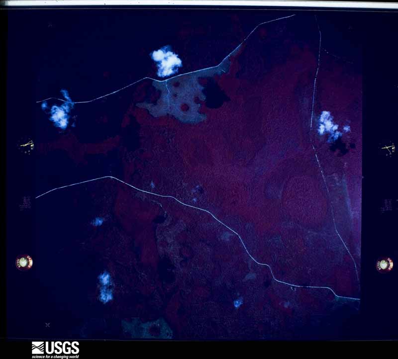
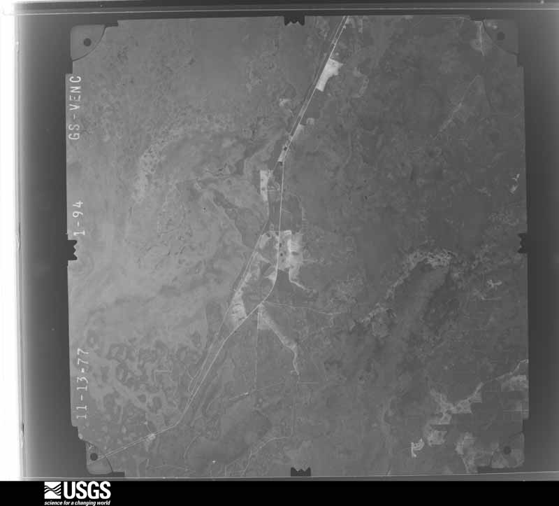
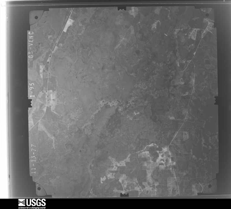
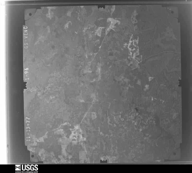
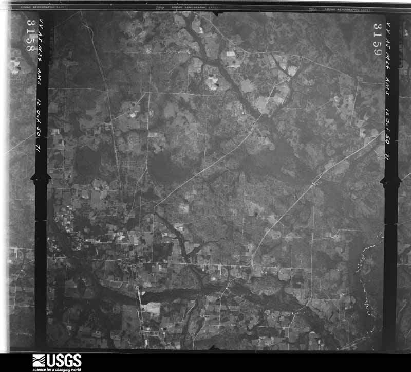
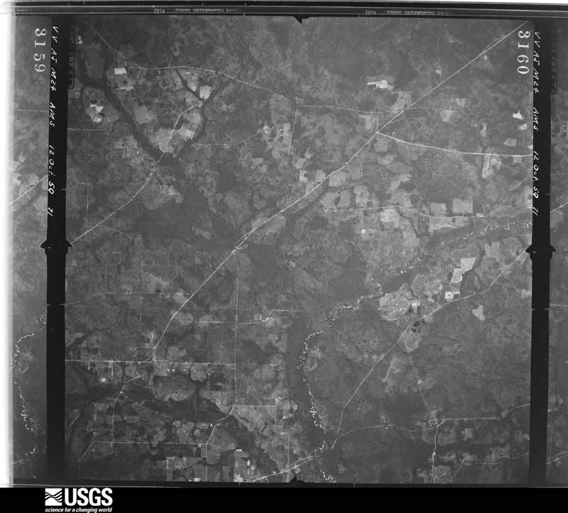
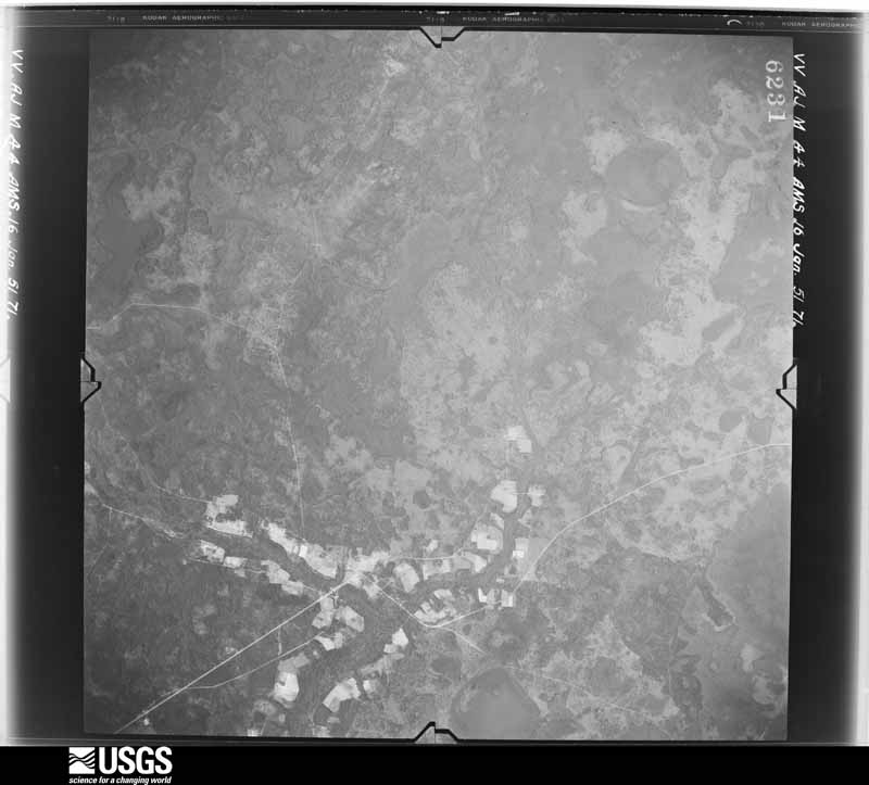
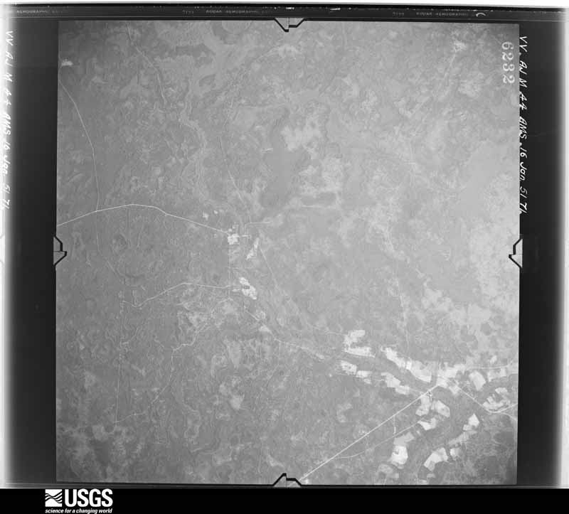
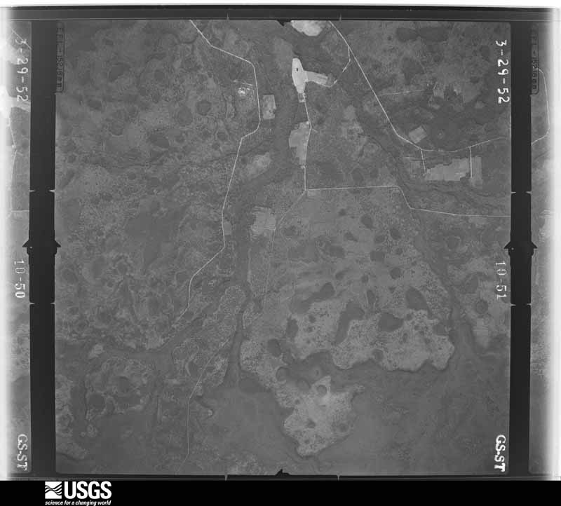
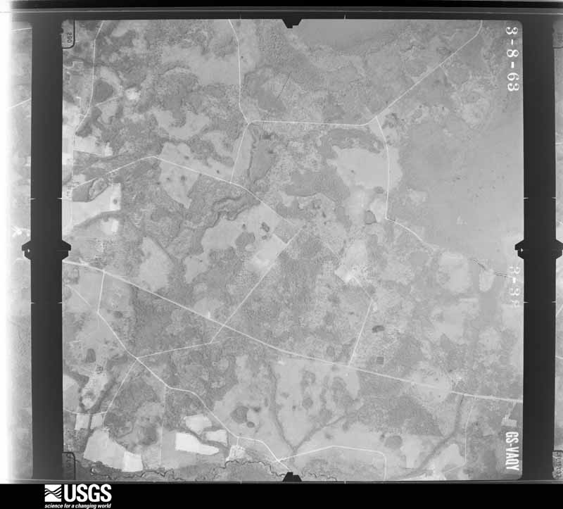
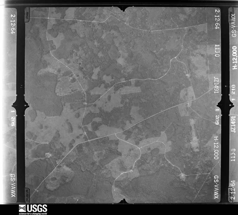
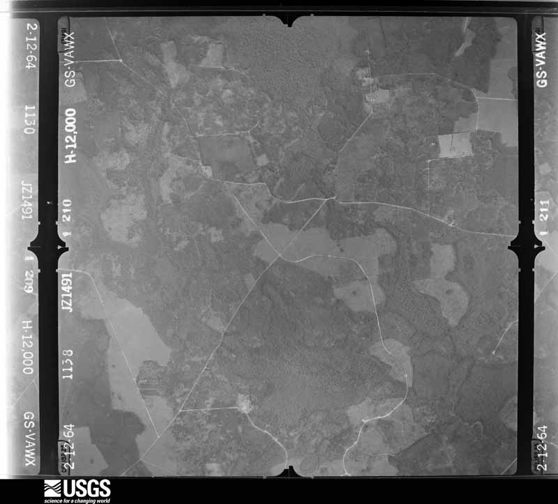
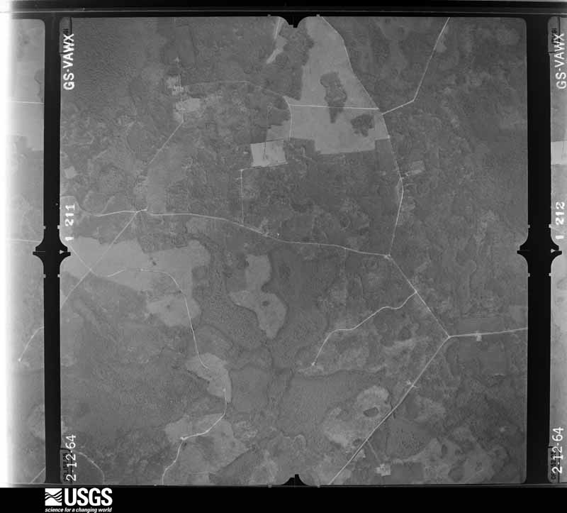
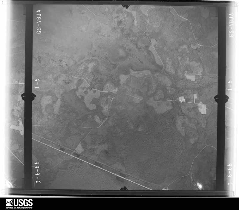
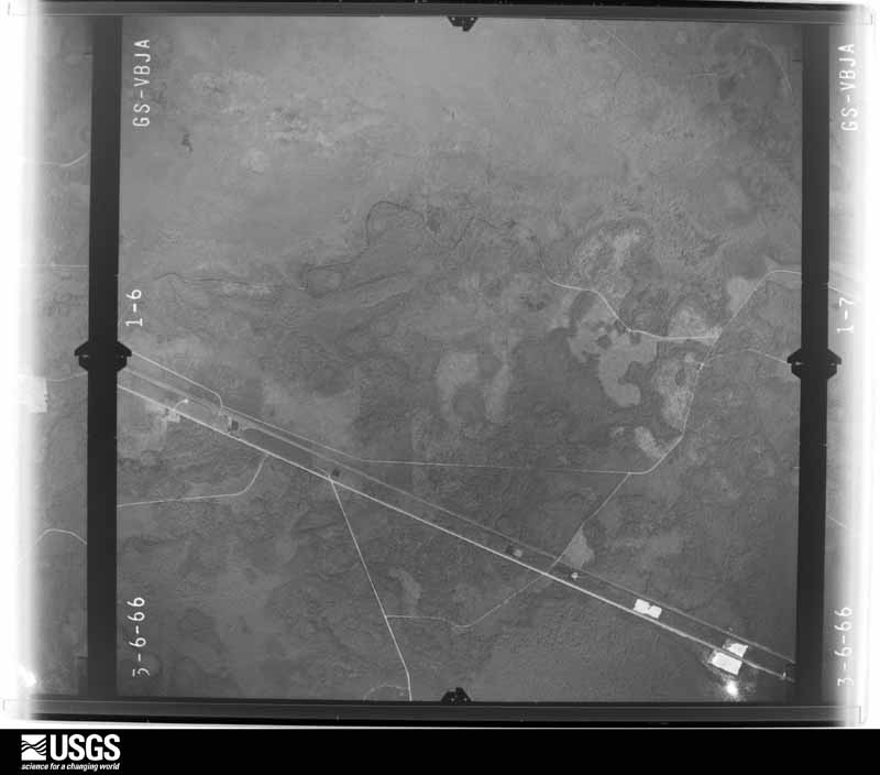
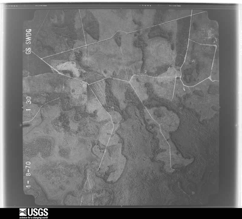
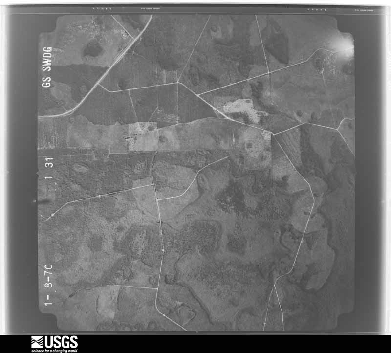
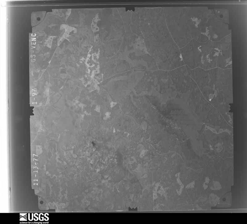
Flown by the U.S. Geological Survey between 1937 and 1989, the Aerial Photo Single Frames collection is the definitive mid-century view of the land: fields, roads and rivers as the camera saw them. The Survey holds 679 frames inside the rectangle that bounds this county; the 40 frames below were taken over the county itself, chosen across the decades of flights (at most four a year from that rectangle), so one flight cannot crowd out the rest. The full set is free to browse and download at EarthExplorer under the dataset Aerial Photo Single Frames.


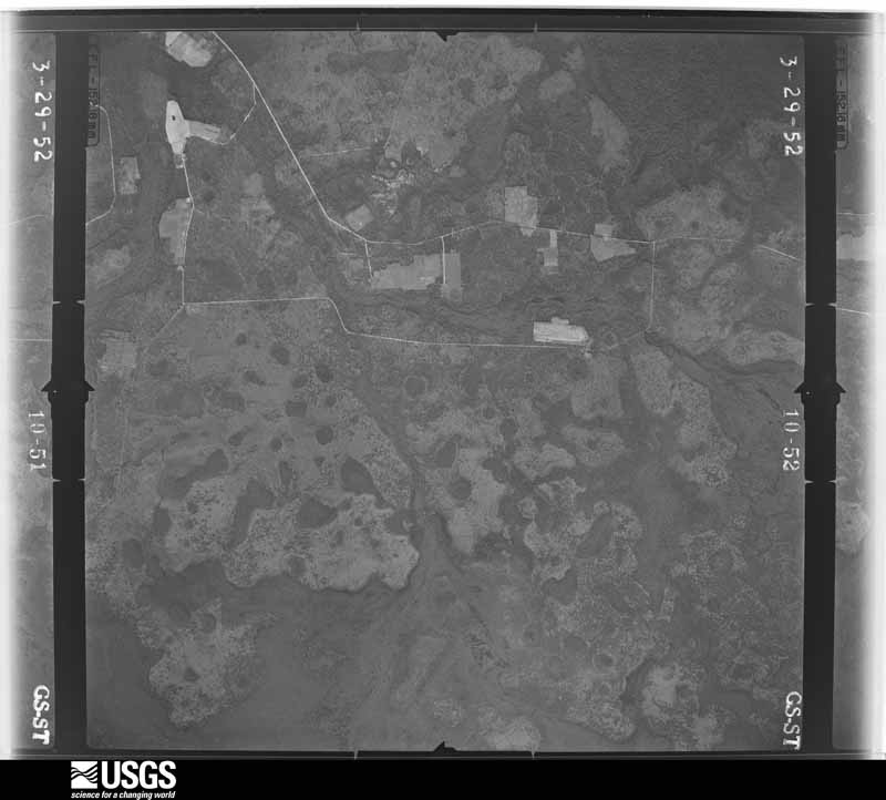
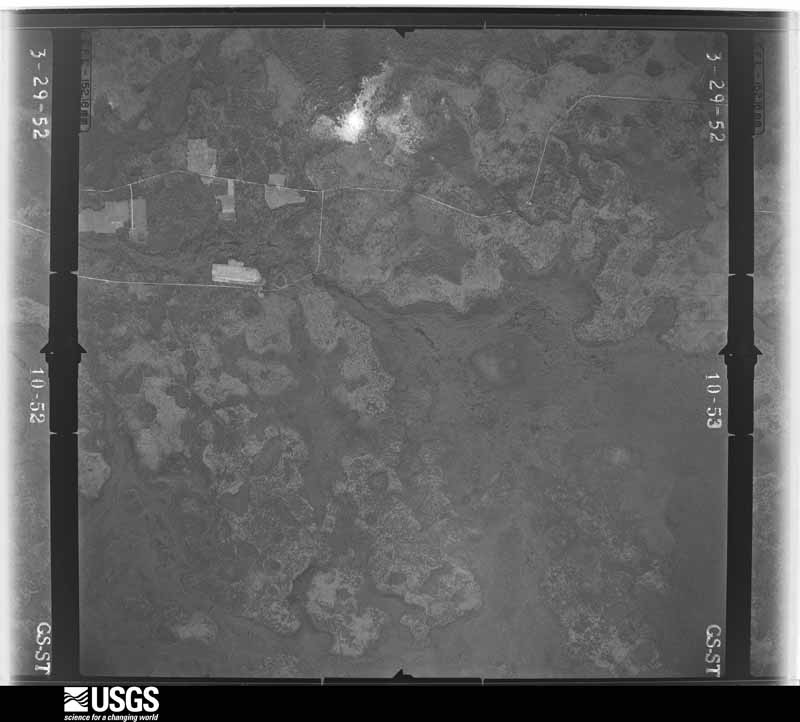
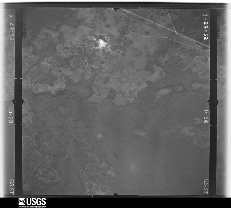
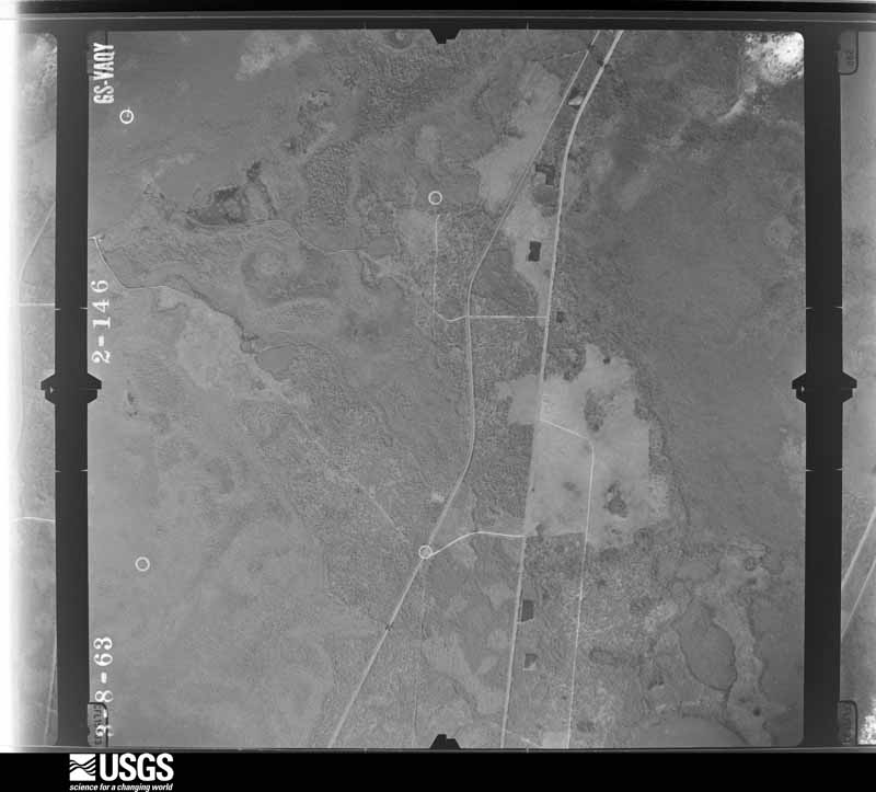


The thermometers that kept this county's weather, and the gages that measured the flow of its streams, as the federal records hold them. The extremes below are measured values from those records, not estimates.
Who lived here in 1950, one enumeration district at a time, as the Census Bureau described each district. Each row opens its official National Archives result, with Population Schedules and ED Maps available there.
Every wildfire the federal occurrence database records inside this county: 1,431 of them, burning about 413,757 acres. 356 started naturally and 189 were recorded as arson. Each settlement page carries the fires within five miles of it.
| Reported cause | Fires |
|---|---|
| Natural | 356 |
| Equipment and vehicle use | 328 |
| Debris and open burning | 206 |
| Arson/incendiarism | 189 |
| Missing data/not specified/undetermined | 125 |
| Railroad operations and maintenance | 122 |
| Misuse of fire by a minor | 36 |
| Power generation/transmission/distribution | 29 |
| Recreation and ceremony | 25 |
| Smoking | 13 |
| Fireworks | 1 |
| Other causes | 1 |
The five largest, by the area the report gives. One of them was set deliberately.
| Date | Cause | Size | Reported by | Name on the report |
|---|---|---|---|---|
| 7 April 2017 | Natural | 152,515 acres | Okefenokee National Wildlife Refuge | WEST MIMS |
| 8 May 2007 | Natural | 123,014 acres | National Forests in Florida | FLORIDA BUGABOO |
| 21 May 1999 | Natural | 69,060 acres | National Forests in Florida | FRIENDLY |
| 5 April 2012 | Natural | 34,936 acres | National Forests in Florida | COUNTYLINE |
| 2 September 2011 | Natural | 3,810 acres | National Forests in Florida | OCEAN BAY |
| 28 May 2006 | Natural | 3,259 acres | National Forests in Florida | 277 |
| 26 May 2004 | Missing data/not specified/undetermined | 2,820 acres | National Forests in Florida | ROAD 1 |
| 20 April 1999 | Arson/incendiarism | 2,000 acres | National Forests in Florida | CYPRESS CREEK |
Every settlement page carries the fires within five miles of it - see the settlement index below.
The NOAA Storm Events Database holds 263 reports for this county, causing no deaths, 7 injuries and about $1,624,470 in recorded property damage. Each settlement page carries the reports that name it.
| Kind of event | Reports |
|---|---|
| Thunderstorm Wind | 147 |
| Hail | 39 |
| Heavy Rain | 36 |
| Tornado | 12 |
| Flood | 12 |
| Flash Flood | 6 |
| Wildfire | 4 |
| Lightning | 4 |
| Funnel Cloud | 3 |
The most serious of them, by death, then injury, then recorded damage. The accounts are quoted exactly as the forecast office filed them.
| When | Event | Place named | Harm | What the report says |
|---|---|---|---|---|
| April 2015 | Lightning | Macclenny | 2 hurt | A lightning strike in Macclenny injured two. A structure fire was also caused. The cost of damage was unknown. |
| May 1974 | Tornado (F2) | not stated | 1 hurt, $250,000 | no account filed |
| May 2022 | Lightning | Macclenny | 1 hurt | A person was struck by lightning north of Macclenny. The person was alert when medics arrived. |
| June 2013 | Thunderstorm Wind | Macclenny | 1 hurt | Winds blew down trees and power lines, which injured one person SSE of Macclenny. |
| March 2008 | Tornado (EF0) | Taylor | 1 hurt | A tornado, which was spanned by the same from mesocyclone which moved through Lake City earlier in the day, moved through northeastern Baker County. One brick residence was completely destroyed at 11456 O. C. Horne Road, in Sanderson and a second residence at 20192 Golden Grass Farms Road had tin roof blown. The tornado continued toward the St Marys River but lifted prior to reaching the river. An additional touchdown occurred in Charlton County, Georgia. |
| July 1999 | Lightning | Sanderson | 1 hurt | no account filed |
| October 1996 | Flash Flood | Macclenny | $600,000 | no account filed |
| June 2012 | Flood | Taylor | $500,000 | Record flooding occurred in Baker county with a historic crest on the St. Marys River due to persistent heavy rainfall over NE Florida and SE Georgia in the river's upstream charge basin. Radar estimated that 15 to 25 inches fell in the charge basin over several days. On 6/25 at 9:32 pm, a spotter reported 3.46 inches of rainfall in the past 5 hours at a location 3 miles ESE of Sanderson. Ditches were at capacity in the area at the time of the report. At 10:25 pm that evening, the media reported 4.08 inches of rainfall since 5 pm that afternoon in Glen St. Mary. Water was crossing roads west of Glen St. Mary. At 10:30 pm, the media reported Interstate 10 eastbound at mile marker 317 near Sanderson was closed due to flooding. At 10:44 pm, Interstate 10 westbound at mile marker 324 near Glen St. Mary was closed due to flooding per a media report. Flooding continued through the end of the month. On 6/28 significant river flooding ensured on the St. Marys with numerous mobile homes flooded and a total loss. Other homes were also flooded. At 10:50 am, baker county emergency management reported a bridge floating down the St. Marys River. At 1:06 pm, the State Road 121 bridge was flooded by the St. Marys River and was closed. The County Road 127 bridge over Cedar Creek collapsed. The cost of property loss was estimated and is likely greatly under-estimated. |
| January 1994 | Tornado (F0) | S of Macclenny | $50,000 | Several houses were damaged and tops of 60 foot pine trees were twisted off along a two mile path. |
| February 1998 | Thunderstorm Wind | Macclenny | $25,000 | Mobile home destroyed |
| May 1983 | Tornado (F1) | not stated | $25,000 | no account filed |
| March 1976 | Tornado (F0) | not stated | $25,000 | no account filed |
| November 2014 | Tornado (EF0) | Sapp | $15,000 | A convergent track of tree damage occurred from Boyce Road to Steed Road in Glen St. Mary. Several trees were snapped and uprooted, and one shed was destroyed and damage was done to a carport. Power lines were damaged. The cost of damage was unknown, but it was estimated for Storm Data. |
| November 2002 | Thunderstorm Wind | Taylor | $10,000 | Several large trees blown down across roadways and power lines. |
| June 1998 | Thunderstorm Wind | Sanderson | $10,000 | Mobile home damaged. |
| May 1997 | Thunderstorm Wind | Macclenny | $8,000 | A portion of a farm supply business was destroyed. |
| June 2020 | Thunderstorm Wind | Sanderson | $5,000 | A large tree fell on a home near Bay Street and Highway 229. The cost of damage was estimated for the event to be included in Storm Data. |
| June 2012 | Flash Flood | Sanderson | $5,000 | Widespread interstate flooding occurred along Interstate 10 in Baker County. The interstate was closed near mile marker 317 near Sanderson due to flooding. The cost of damage was estimated and is likely underestimated. |
| July 2000 | Thunderstorm Wind | Macclenny | $5,000 | Large trees and power lines were blown down. |
| July 1996 | Flash Flood | Macclenny | $5,000 | no account filed |
| July 1999 | Thunderstorm Wind | Sanderson | $4,000 | Large trees and power lines were blown down. |
| January 1999 | Thunderstorm Wind | Glen St Mary | $3,500 | Roof damge at Kuyper Field. |
| April 1998 | Thunderstorm Wind | Macclenny | $3,500 | Large trees and power lines were blown down. |
| May 2019 | Thunderstorm Wind | Sanderson | $3,000 | Baker County Law Enforcement Social Media showed a picture of a large tree blown down onto a home roof and a few other trees down at a residence on Abernathy Circle near County Road 127. The cost of damage was unknown but estimated for Storm Data. |
| June 2001 | Thunderstorm Wind | Macclenny | $3,000 | Large trees were uprooted on the North end of CR 121. |
| April 2000 | Thunderstorm Wind | Macclenny | $3,000 | Large trees were blown down. |
| July 1999 | Thunderstorm Wind | Sanderson | $3,000 | Large trees and power lines were blown down. |
| March 2001 | Thunderstorm Wind | Sanderson | $2,500 | Large trees and power lines were blown down. |
| June 2001 | Thunderstorm Wind | Glen St Mary | $2,500 | Large trees were blown down. |
| July 2001 | Thunderstorm Wind | Taylor | $2,500 | Large trees and power lines were blown down. |
| March 2000 | Flash Flood | Countywide | $2,500 | Numerous roads closed. |
| August 2000 | Thunderstorm Wind | Macclenny | $2,500 | Large trees and power lines were blown down. |
| January 2000 | Thunderstorm Wind | Macclenny | $2,500 | Large trees and power lines were blown down. |
| August 1999 | Thunderstorm Wind | Macclenny | $2,500 | Large trees and power lines were blown down. |
| June 1998 | Thunderstorm Wind | Macclenny | $2,500 | Large trees and power lines were blown down. |
| March 1998 | Thunderstorm Wind | Macclenny | $2,500 | Large trees and power lines were blown down. |
| May 1996 | Thunderstorm Wind | Sanderson | $2,500 | no account filed |
| May 1973 | Tornado (F0) | not stated | $2,500 | no account filed |
| August 2022 | Flood | Macclenny | $2,000 | Emergency manager reported that the steel bridge road was closed. All addresses east of steel bridge road were unable to be reached due to flooding from the St. Marys river. As of 5 pm EDT, the St. Marys river near Macclenny is in minor flood stage at a height of 12.78 ft. This type of impact typically occurs when the river reaches 15 ft. Steel bridge road was reopened on Sept 1st. |
| August 2015 | Thunderstorm Wind | Glen St Mary | $2,000 | Multiple trees were blown down in the Glen St. Mary area. The time of damage was based on radar. The cost of damage was estimated for the event to be included in StormData. |
| February 2003 | Thunderstorm Wind | Taylor | $2,000 | Power lines downed. |
| July 2002 | Thunderstorm Wind | Olustee | $2,000 | Large trees down near Interstate 10. |
| July 2002 | Thunderstorm Wind | Taylor | $2,000 | Large trees down. |
| July 2002 | Thunderstorm Wind | Sanderson | $2,000 | Large trees down between Sanderson and Taylor along highway 250. |
| August 2000 | Thunderstorm Wind | Macclenny | $2,000 | Large trees and power lines were blown down. |
| July 1996 | Thunderstorm Wind | Macclenny | $2,000 | no account filed |
| March 2000 | Thunderstorm Wind | Sanderson | $1,500 | Large trees and power lines were blown down. |
| August 1999 | Thunderstorm Wind | Sanderson | $1,500 | Large trees and power lines were blown down. |
| June 1998 | Thunderstorm Wind | Macclenny | $1,500 | Large trees and power lines were blown down. |
| June 1998 | Thunderstorm Wind | Macclenny | $1,500 | Large trees and power lines were blown down. |
| February 1998 | Hail | Taylor | $1,500 | Large trees and power lines were blown down. |
| December 1997 | Tornado (F0) | Sanderson | $1,500 | Large trees and power lines were blown down. |
| June 2023 | Thunderstorm Wind | Sapp | $1,000 | Trees and power lines were blown down along Country Estates Ct. |
| August 2022 | Flood | Macclenny | $1,000 | Baker county dispatch reported flooding ongoing in Macclenny along US-90. Ditches and low lying spots were inundated with ponding of water, some water was encroaching homes. |
| January 2010 | Thunderstorm Wind | Taylor | $1,000 | Central dispatch reported property damage and numerous trees blown down at a residence off of Palm Road. Strong winds damaged a pump house and a water softener. The damage was estimated at one thousand dollars. |
| June 2002 | Thunderstorm Wind | Glen St Mary | $1,000 | Large trees and power lines down. |
| July 1997 | Thunderstorm Wind | Sanderson | $1,000 | Large tress were blown down along I-10. |
| June 1995 | Thunderstorm Wind | not stated | $1,000 | Numerous trees and power lines blown down near Glen St. Marys. |
| June 2023 | Thunderstorm Wind | Glen St Mary | $500 | A couple of trees and power lines were blown down across Cedar Creek Farm Road. A cold front lingered across South Georgia. This feature combined with elevated MLCAPE of 2000 J/kg, steep mid-level lapse rates, decent shear and moist dew pts produced scattered strong to severe storms during the afternoon and evening. |
| June 2020 | Thunderstorm Wind | Sanderson | $500 | A large tree was snapped near Gaskins Circle and Highway 229. The cost of damage was estimated for the event to be included in Storm Data. |
The Survey's mineral resources record lists 2 workings inside this county. None of them still produces: all are closed or unrecorded. Each settlement page carries the workings within five miles of it.
| Commodity | Workings |
|---|---|
| Phosphorus-Phosphates | 2 |
| Uranium, Iron, Magnesite, Aluminum, Water, Free, Fluorine-Fluorite | 1 |
| Aluminum, Uranium, Iron, Magnesite, Fluorine-Fluorite, Water, Free | 1 |
The least common of them first, because a county's hundredth gravel pit says nothing its first ten did not.
| Where | Site | Commodity | Status | Recorded |
|---|---|---|---|---|
| Baker County Deposit #1 | Phosphorus-Phosphates, Aluminum, Uranium, Iron, Magnesite, Fluorine-Fluorite, Water, Free | Occurrence | 1965 | |
| North Baker County Deposit | Phosphorus-Phosphates, Uranium, Iron, Magnesite, Aluminum, Water, Free, Fluorine-Fluorite | Prospect |
Museum specimens collected in and around this county - inside the rectangle that bounds it - and catalogued with a date and a place: 1,722 of them, by kingdom 1,405 animalia, 188 plantae, 122 fungi, 4 protozoa, 3 unrecorded. Each is a physical object in a named collection, not a sighting. Held by UCFC, FSU, USNM, CUMV, FMNH, BPI among others, and each settlement page carries the specimens collected near it.
The oldest of them. A specimen proves something was collected on that day; its absence proves nothing.
| Photograph | Year | Species | Kingdom | Where | Collector | Catalogue |
|---|---|---|---|---|---|---|
| 1861 | Libellula axilena Westwood, 1837 | Animalia | Osceola National Forest, Ocean Pond Camp | A. & H. Dietrich | CUIC CUIC000121835 | |
| 1887 | Eriocaulon compressum Lam. | Plantae | not stated | Miss H.M. Heading | USF 274577 | |
| 1887 | Leucothoe axillaris (Lam.) D.Don | Plantae | not stated | Miss H.M. Heading | USF 34404 | |
| 1887 | Pinguicula caerulea Walter | Plantae | Macclenny | H.M.H. | MIN 191295 | |
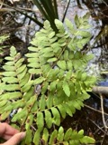 | 1890 | Osmunda regalis L. | Plantae | Macclenny.<br/> | Alice J. Heading | WTU 124681 |
| 1897 | Ludwigia linearis Walter | Plantae | McClenny. | A. H. Curtiss | USF 209956 | |
| 1897 | Schizachyrium tenerum Nees | Plantae | McClenny. | A. H. Curtiss | USF 209673 | |
| 1897 | Scleria distans Poir. | Plantae | Near Maclenny, Fla. | A. H. Curtiss | FSU 000027339 |
Named settlements recorded in the Geographic Names Information System, each with the topographic sheets covering it. Villages, hamlets and abandoned places alike. Each is shown with the nearest named watercourse or landform and the survey quadrangle it falls on.
Sanderson census division · 32087 · On Moccasin Creek · Moniac quadrangle
11 sheets, 1918 to 1994
Sanderson census division · 32040 · On Turkey Creek · Macclenny West quadrangle
14 sheets, 1917 to 1981
Sanderson census division · 32072 · Olustee quadrangle
10 sheets, 1954 to 2005
No longer a settlement
Sanderson census division · 32087 · On Little River · Taylor quadrangle
10 sheets, 1954 to 2005
The vanished settlements of Baker County: the places named above that are no longer on the map.