 Block
BlockMandarin, Florida
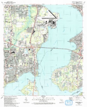
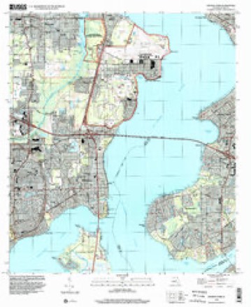
24 topographic sheets cover this place, the earliest surveyed in 1917 and the latest in 1994. It stands in the Jacksonville East census division. It lies in ZIP code area 32223. It stands on Mill Creek. The Survey maps it on the Orange Park quadrangle.
Then and now
1917 to 1994The same ground, surveyed 77 years apart. Drag the handle to wipe between them. Both sheets are United States Geological Survey originals; neither has been altered.
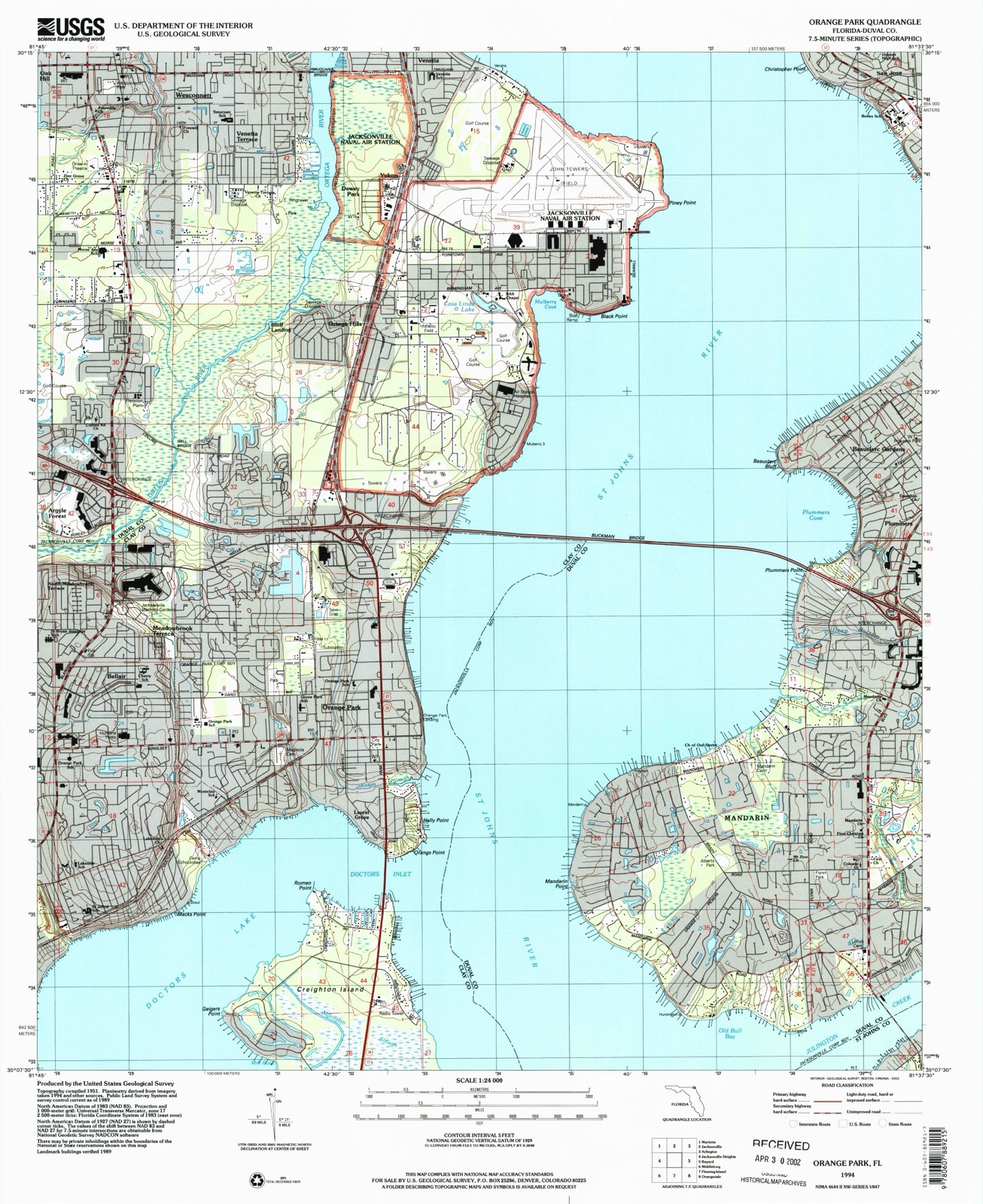
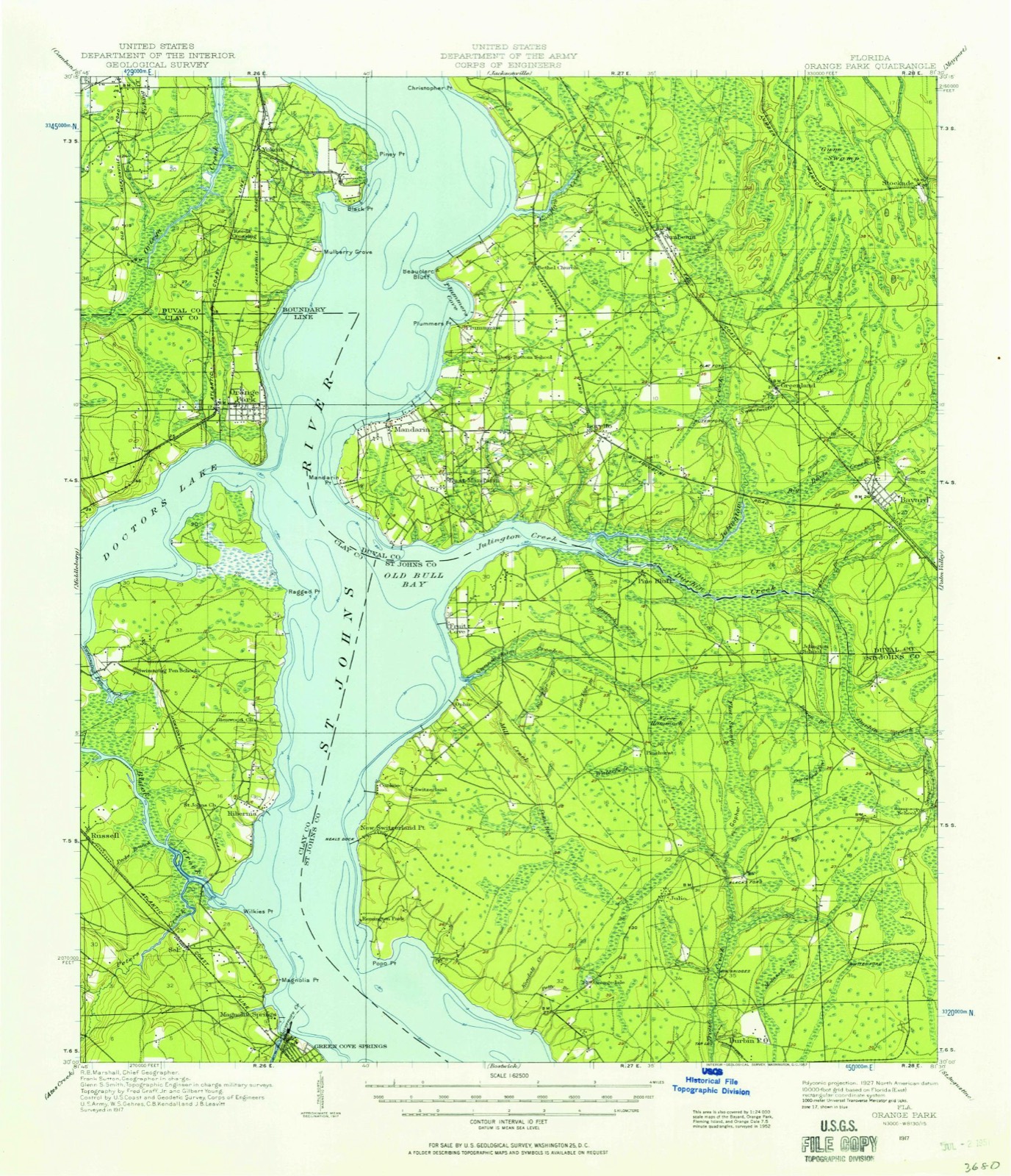
Compare 1917 against another survey:
On record in Mandarin
Buildings and businesses the archive holds for this place. Each opens its own page, with the source record it came from.
On the National Register within a mile 1 record
The National Register names another town for these. They stand within one mile of this settlement's coordinate.
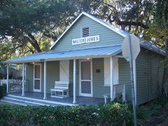 Mandarin Store and Post Officelisted 2001 · 0.0 miles away
Topographic sheets covering this place
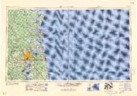
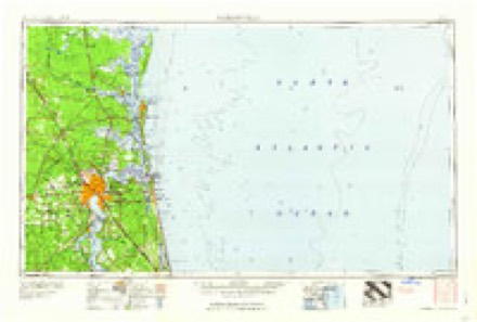
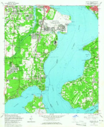
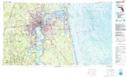
13 surveys from 24 printed sheetsMatched by testing this settlement's coordinate against the published boundary of every sheet in the United States Geological Survey's historical collection. Each opens the scanned sheet at the Survey.
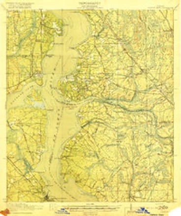
- 1917 USGS Orange Park quadrangle1:62500
- 1918 USGS Orange Park quadrangle1:62500, 5 printings
- 1948 USGS Jacksonville quadrangle1:250000
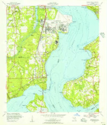
- 1952 USGS Orange Park quadrangle1:24000
- 1957 USGS Jacksonville quadrangle1:250000, 3 printings
- 1959 USGS Jacksonville quadrangle1:250000
- 1960 USGS Jacksonville quadrangle1:250000
- 1964 USGS Orange Park quadrangle1:24000, 5 printings
- 1977 USGS Jacksonville quadrangle1:100000
- 1980 USGS Jacksonville quadrangle1:100000
- 1988 USGS Jacksonville quadrangle1:250000
- 1993 USGS Orange Park quadrangle1:24000, 2 printings
- 1994 USGS Orange Park quadrangle1:24000
Fires near this place
79 since 1992Regional context, not property-specific evidence. The federal wildfire occurrence database lists 79 fires within 5 miles of Mandarin between 1992 and 2018, burning about 316 acres in total. 12 started naturally. 11 were recorded as arson. Distance is straight-line from the map coordinates, so a fire counted here may appear on a neighbouring settlement's page as well.
| Reported cause | Fires |
|---|---|
| Misuse of fire by a minor | 25 |
| Equipment and vehicle use | 14 |
| Natural | 12 |
| Arson/incendiarism | 11 |
| Railroad operations and maintenance | 6 |
| Missing data/not specified/undetermined | 5 |
| Debris and open burning | 4 |
| Fireworks | 1 |
| Recreation and ceremony | 1 |
The most recent of them, most recent first, with the day each was reported and the service that recorded it.
| Date | Cause | Size | Reported by | Name on the report |
|---|---|---|---|---|
| 6 September 1999 | Misuse of fire by a minor | 1.0 acres | Florida Forest Service | not named |
| 16 September 1993 | Misuse of fire by a minor | 1.0 acres | Florida Forest Service | not named |
| 11 September 2010 | Misuse of fire by a minor | 2.0 acres | Florida Forest Service | WF-55-IVY HOLLOW |
| 5 August 2014 | Arson/incendiarism | under an acre | Florida Forest Service | ORANGE PARK MALL (10) |
| 30 August 2011 | Missing data/not specified/undetermined | 3.0 acres | Florida Forest Service | ROOSEVELT BLVD (16) |
| 3 August 1999 | Natural | 13 acres | Florida Forest Service | not named |
| 2 August 1993 | Railroad operations and maintenance | 5.0 acres | Florida Forest Service | not named |
| 1 August 1999 | Natural | 1.0 acres | Florida Forest Service | not named |
Settlements close enough to share some of these fires:
Storms near this place
60 of 68 shownRegional context, not property-specific evidence. The National Weather Service names Mandarin in 68 storm reports between 1998 and 2024: 34 thunderstorm wind, 13 hail, 11 heavy rain, 3 flood. The reports record 1 injury. Each account below is quoted exactly as the forecast office filed it, from the NOAA Storm Events Database, and each date opens the federal record of that event.
| When | Event | Place named | Harm | What the report says |
|---|---|---|---|---|
| June 2006 | Thunderstorm Wind | Mandarin | 1 hurt | no account filed |
| April 2017 | Lightning | East Mandarin | $100,000 | A house fire occurred due to a lightning strike. All inside were able to evacuate. The cost of damage was unknown, but it was estimated for the event to be included in Storm Data. |
| June 2017 | Lightning | East Mandarin | $8,000 | A home chimney was struck by lightning, but no fire occurred. The cost of damage was unknown, but it was estimated for Storm Data. |
| September 2001 | Thunderstorm Wind | Mandarin | $3,500 | Large trees and power lines were blown down. |
| January 2000 | Thunderstorm Wind | Mandarin | $3,000 | Large trees and power lines were blown down. |
| April 1999 | Thunderstorm Wind | Mandarin | $3,000 | Large trees and power lines were blown down. |
| September 2001 | Thunderstorm Wind | Mandarin | $2,500 | Large trees were blown down. |
| August 1999 | Thunderstorm Wind | Mandarin | $2,500 | Large trees and power lines were blown down. |
| January 2011 | Lightning | East Mandarin | $2,000 | Lightning caused a structure fire at 3653 Mosswood Court in Mandarin. The cost of damaged was estimated. |
| July 1999 | Thunderstorm Wind | Mandarin | $2,000 | Large trees and power lines were blown down. |
| August 2022 | Thunderstorm Wind | East Mandarin | $1,000 | A tree was uprooted, fell and damaged a fence of a house near Julington Creek Rd and Micanopy Ln. Time was estimated by radar. Multiple reports of pea size hail were reported in the Mandarin area. A tornado and severe thunderstorm warning were in effect. |
| June 2022 | Thunderstorm Wind | East Mandarin | $1,000 | A few trees were reported down across the Mandarin area due to a passing thunderstorm. |
| August 2017 | Thunderstorm Wind | East Mandarin | $1,000 | Power lines were blown down near Hood Landing Road, south of Julington Creek Road. The time of damage was based on radar imagery. The cost of damage was unknown, but it was estimated so the event could be included in Storm Data. |
| July 2002 | Thunderstorm Wind | Mandarin | $1,000 | Large limbs and power lines down near 1616 Augustine Road. |
| July 2016 | Thunderstorm Wind | East Mandarin | $200 | A large tree branch was across San Jose Blvd at Loretto Road. The cost of damage was unknown but it was estimated for the event to be included in Storm Data. |
| September 2024 | Thunderstorm Wind | East Mandarin | $100 | A tree was blown down near Mandarin | Meadows Dr and San Jose Blvd. Saturated | soils make it easier for trees to be knocked | down with little wind. The cost of damage was unknown but it was estimated for inclusion of the event in Storm Data. |
| September 2024 | Flood | East Mandarin | - | Street flooding was reported along Julington Creek Drive. |
| May 2024 | Hail | East Mandarin | - | Nickel size hail was observed. |
| May 2023 | Heavy Rain | East Mandarin | - | A mesonet station in Jacksonville measured 2.24 inches of rainfall in 1 hour. |
| March 2020 | Thunderstorm Wind | East Mandarin | - | A tree was blown down across South Burning Tree Lane. Widespread power outages were reported. |
| March 2020 | Thunderstorm Wind | Mandarin | - | A large tree was blown down across the yard. |
| June 2020 | Thunderstorm Wind | East Mandarin | - | Trees were blown down in the Mandarin Oaks subdivision. Power lines were blown down along Mandarin Road. The time of damage was based on radar. |
| June 2020 | Hail | East Mandarin | - | Dime to penny size hail was observed. The time of the event was based on radar. |
| July 2020 | Flash Flood | East Mandarin | - | Flooding rainfall caused flooding of at least 2 homes with water inside along Sedgemore Drive. Multiple flooded streets were reported across Mandarin and Fruit Cove with some of the highest inundation in the Rams Gate Subdivision. Rainfall observations indicated 5-7.5 inches of rainfall across this area within about 1.5 hrs. |
| July 2020 | Heavy Rain | East Mandarin | - | A public rain gauge in Mandarin measured 4.48 inches of rain one hour. |
| July 2020 | Heavy Rain | East Mandarin | - | A mesonet station 1 ENE of Mandarin measured 7.33 inches of rainfall, most with the past hour. |
| July 2020 | Heavy Rain | East Mandarin | - | Multiple rainfall reports from across east Mandarin and Fruit Cove measured 6 to 7.5 inches mainly along and west of State Road 13. |
| April 2019 | Thunderstorm Wind | Mandarin | - | A tree branch blew down onto a power line along Brady Road, and the power line caught fire. The time of damage was based on radar. |
| July 2019 | Thunderstorm Wind | East Mandarin | - | A tree was blown down near Tayo Lane and Mandarin Road. The time of damage was based on radar. |
| June 2018 | Thunderstorm Wind | East Mandarin | - | Trees were blown down on two properties along Julington Creek Road. One tree clipped a home. The time of damage was based on radar. |
| May 2017 | Heavy Rain | East Mandarin | - | The public measured 3.01 inches within 2 hours. |
| June 2017 | Flood | East Mandarin | - | Reports of flooding from the Mandarin area were relay to the NWS. At 5:57 pm, the public reported via social media 8-12 inches of water covered Beauclerc and Scott Mill Road. At 6:05 pm, the public relayed a video of water flowing over Mandarin Road near Riverplace Drive. |
| July 2016 | Hail | East Mandarin | - | Quarter size hail was reported in Mandarin off of San Jose Blvd, just north of Interstate 295. |
| July 2016 | Thunderstorm Wind | East Mandarin | - | A tree was blown down at Loretto Road and Flynn Road in Mandarin. |
| August 2014 | Heavy Rain | East Mandarin | - | Rainfall of 3.15 was measured in Mandarin. |
| August 2014 | Heavy Rain | East Mandarin | - | A daily rainfall of 3.41 was measured in Mandarin. |
| June 2013 | Hail | East Mandarin | - | Quarter size hail was observed at San Jose Blvd and Interstate 295 and at I-295 and Old St. Augustine Road. |
| June 2013 | Thunderstorm Wind | East Mandarin | - | A spotter measured 60 mph wind gusts at Old St. Augustine Road and Loretto Road. |
| June 2013 | Hail | Mandarin | - | Pea to penny size hail was reported on the Buckman Bridge. |
| June 2012 | Flash Flood | Mandarin | - | Numerous road closures and structural flooding continued on the Jacksonville Westside due to heavy rainfall from Tropical Storm Debby. |
| May 2012 | Thunderstorm Wind | East Mandarin | - | Trees and power lines were blown down along Aladdin Terrace. |
| May 2012 | Thunderstorm Wind | East Mandarin | - | Trees and power lines were blown down along Brady Road. |
| May 2012 | Heavy Rain | East Mandarin | - | Three inches of rainfall fell within 2 hours. |
| August 2012 | Thunderstorm Wind | East Mandarin | - | Trees were blown down in Mandarin, as well as a few on the Westside of Jacksonville. Exact locations were not relayed by the County 911 Center. The time of damage was based on radar. |
| July 2011 | Thunderstorm Wind | East Mandarin | - | Power lines were blown down along Loretto Road. |
| August 2011 | Thunderstorm Wind | East Mandarin | - | Trees were blown down in Mandarin. |
| June 2010 | Heavy Rain | East Mandarin | - | A spotter measured 1.42 inches of rainfall in 45 minutes. A 42 mph wind gust was also measured along with small limbs down. |
| May 2010 | Heavy Rain | East Mandarin | - | Rainfall of 1.83 inches was measured in 30 minutes. Minor street flooding was observed. |
| June 2009 | Thunderstorm Wind | East Mandarin | - | The public reported a fence blown over and significant tree damage from a thunderstorm wind gust at Burnett Park near Hartsfield Road and Interstate 295. |
| June 2009 | Thunderstorm Wind | East Mandarin | - | Two homes were damaged between Loretto Road and San Jose from fallen trees. Most damage was done to the roofs. |
| June 2009 | Thunderstorm Wind | East Mandarin | - | A pine tree blew down and landed on a car on Loretto Road. The driver was taken to the hospital with minor injuries. |
| June 2009 | Thunderstorm Wind | East Mandarin | - | Winds destroyed a large Taco Bell sign located near Old St. Augustine Road and Interstate 295. A street sign was also blown over. |
| February 2008 | Thunderstorm Wind | East Mandarin | - | Public report of a tree resting on a roof on Clair Burrows Road off San Jose road in Mandarin. |
| February 2008 | Thunderstorm Wind | East Mandarin | - | WTEV Chief Meteorologist reports two trees down on a building at 2950 Halcyon Lane south of Interstate 295. |
| December 2008 | Tornado (EF0) | Mandarin | - | Two small waterspouts were observed on the St Johns River by a motorist near the Buckman Bridge and lasted for half a minute or less. |
| October 2007 | Flood | East Mandarin | - | A woman was stuck in car due to flooding on Algonquin Ave and flooding reported was on Toree Grande Ave. and Casa Grande Ave. as well as in the Beauclerc area. Flooding was also reported on San Jose Boulevard and near Julington Creek Plantation. Numerous secondary streets were reported as flooded on the Southside. Commonwealth Road was reported as being flooded at 07:00 north of Interstate 295 with vehicles stranded in the roadway. In the San Marco Area flooding was observed by NWS Storm Survey Crews from Childrens Way to Hendricks Avenue up to Nemours Hosptial just south of Interstate 95. The water was nearly up to residences on Childrens Way. Flooding was also observed in the Plantation Oaks South subdivision in Mandarin on Carters Grove Lane at 1700 Plantation Oak Drive with the road flooded and impassable. The Storm Survey also noted several inches of water in the home and garage of a residence located at 11665 Gywnford Lane. This is near the intersection of Loretto Road. At this location water was accumulated in the backyard to a depth of one foot. At McCoys Creek four feet of flooding was noted in a roofing business at Kings Street and McCoys Creek Blvd. Four homes were flooded to a depth of 1.5 to 2 feet at 4130 Leonard Circle West. Additionally water from Moncrief Creek crossed 33rd Street West and pushed a Toyota Corolla against the bridge resulting in a swift water rescue. |
| February 2002 | Thunderstorm Wind | Mandarin | - | Pea sized to one half inch hail reproted by EMA and local TV Meterologist. |
| June 2017 | Funnel Cloud | Mandarin | - | no account filed |
| May 2006 | Thunderstorm Wind | Mandarin | - | no account filed |
| April 2005 | Hail | Mandarin | - | no account filed |
Nearest settlements
The eight closest, with where each one stands in the county. Distances are straight-line, computed from the Geographic Names Information System coordinates.
| Map | Place | Distance | Sheets |
|---|---|---|---|
| Marshall Plantation (historical) | 0.9 miles | 24 | |
| East Mandarin | 1.1 miles | 24 | |
| Plummers | 2.5 miles | 24 | |
| Beauclerc Gardens | 3.0 miles | 24 | |
| Beauclerc | 3.1 miles | 24 | |
| Loretto | 3.4 miles | 22 | |
| Goodbys | 3.7 miles | 22 | |
| Ortega Hills | 4.6 miles | 24 |
Provenance
This settlement is recorded in the Geographic Names Information System as feature 286368. The sheet list is computed by point-in-boundary test against the United States Geological Survey's historical topographic inventory. Both are works of the United States government and carry no copyright under 17 U.S.C. 105.
Wildfire. Short, Karen C. 2022. Spatial wildfire occurrence data for the United States, 1992-2020 [FPA_FOD_20221014]. 6th Edition. Fort Collins, CO: Forest Service Research Data Archive. https://doi.org/10.2737/RDS-2013-0009.6 Collected with United States Government funding and usable without additional permissions or fees.
Storms. NOAA National Centers for Environmental Information, Storm Events Database https://www.ncei.noaa.gov/stormevents/ A work of the United States government, no copyright under 17 U.S.C. 105. Narratives are quoted verbatim from the National Weather Service report and are not edited or summarised.