 Block
BlockPlummers, Florida
24 topographic sheets cover this place, the earliest surveyed in 1917 and the latest in 1994. It stands in the Jacksonville East census division. It lies in ZIP code area 32257. It sits by Beauclerc Bluff. The Survey maps it on the Orange Park quadrangle.
Then and now
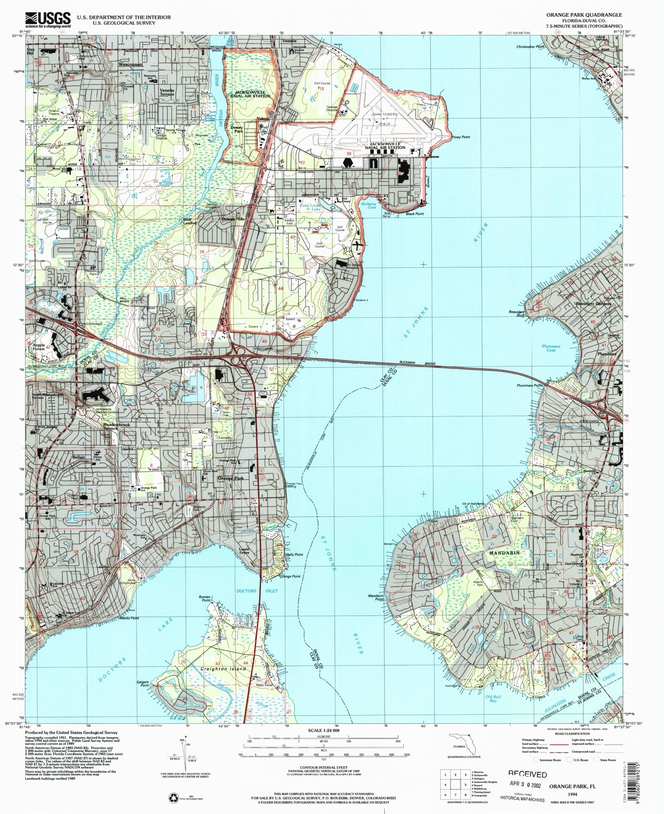
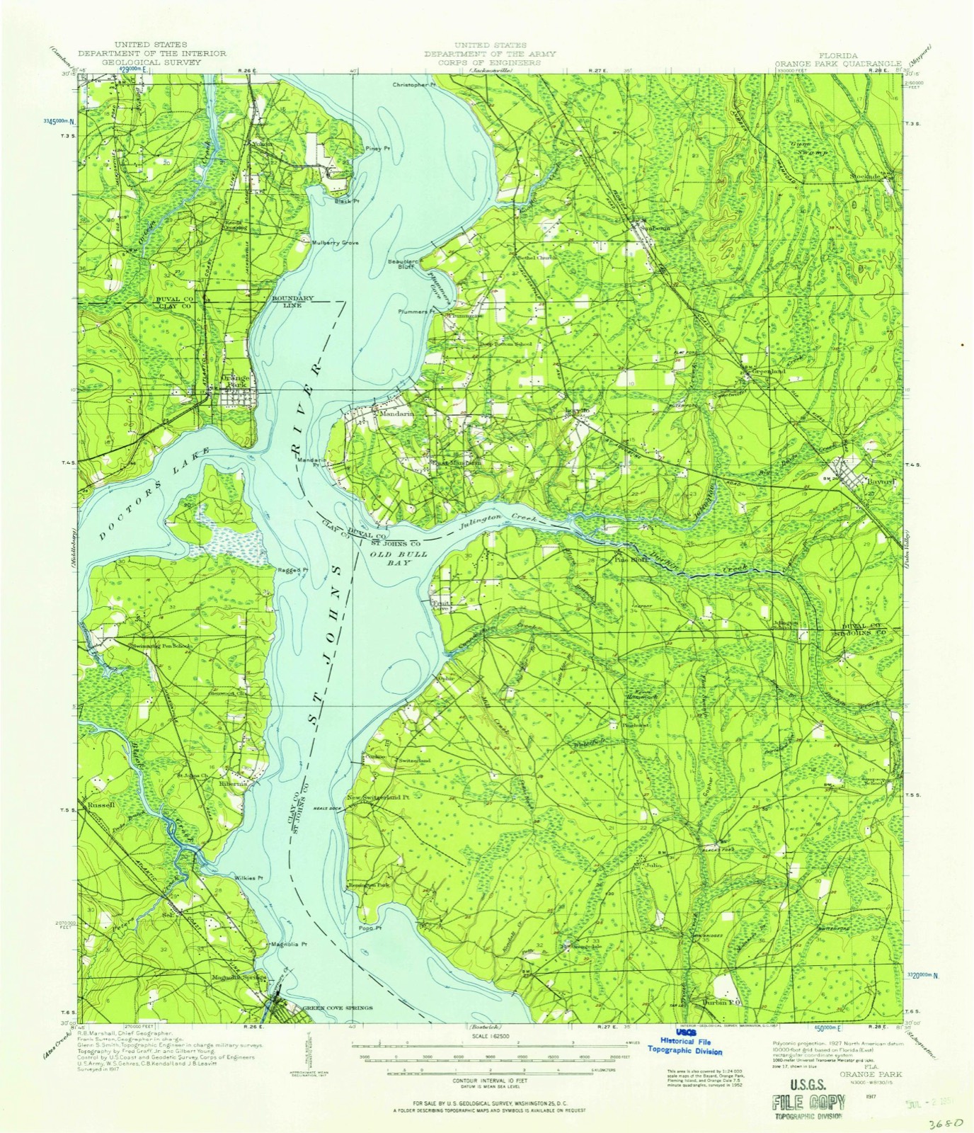
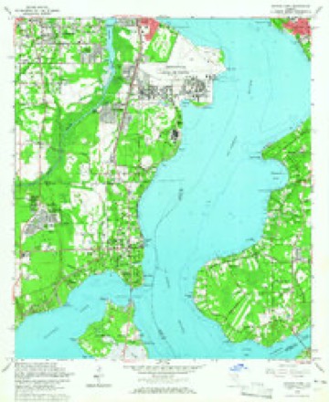
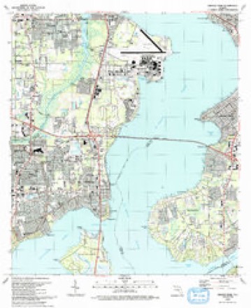
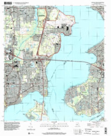
1917 to 1994The same ground, surveyed 77 years apart. Drag the handle to wipe between them. Both sheets are United States Geological Survey originals; neither has been altered.
Compare 1917 against another survey:
Topographic sheets covering this place
13 surveys from 24 printed sheetsMatched by testing this settlement's coordinate against the published boundary of every sheet in the United States Geological Survey's historical collection. Each opens the scanned sheet at the Survey.
- 1917 USGS Orange Park quadrangle1:62500
- 1918 USGS Orange Park quadrangle1:62500, 5 printings
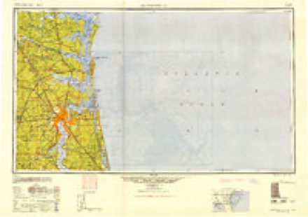
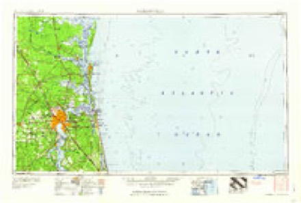
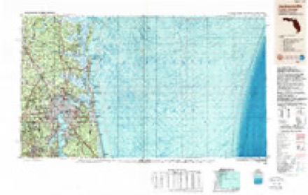
- 1948 USGS Jacksonville quadrangle1:250000
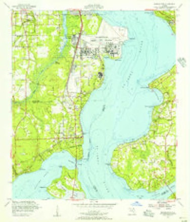
- 1952 USGS Orange Park quadrangle1:24000
- 1957 USGS Jacksonville quadrangle1:250000, 3 printings
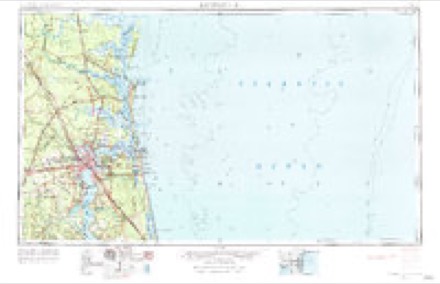
- 1959 USGS Jacksonville quadrangle1:250000
- 1960 USGS Jacksonville quadrangle1:250000
- 1964 USGS Orange Park quadrangle1:24000, 5 printings
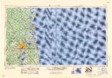
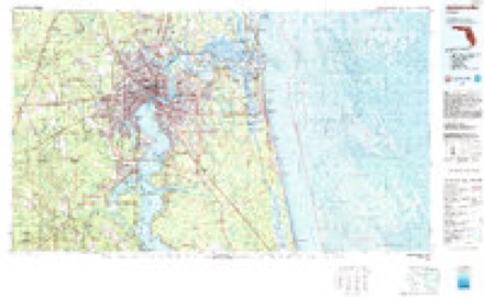
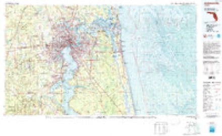
- 1977 USGS Jacksonville quadrangle1:100000
- 1980 USGS Jacksonville quadrangle1:100000
- 1988 USGS Jacksonville quadrangle1:250000
- 1993 USGS Orange Park quadrangle1:24000, 2 printings
- 1994 USGS Orange Park quadrangle1:24000
Fires near this place
67 since 1992Regional context, not property-specific evidence. The federal wildfire occurrence database lists 67 fires within 5 miles of Plummers between 1992 and 2018, burning about 317 acres in total. 13 started naturally. 8 were recorded as arson. Distance is straight-line from the map coordinates, so a fire counted here may appear on a neighbouring settlement's page as well.
| Reported cause | Fires |
|---|---|
| Equipment and vehicle use | 17 |
| Misuse of fire by a minor | 16 |
| Natural | 13 |
| Arson/incendiarism | 8 |
| Debris and open burning | 5 |
| Railroad operations and maintenance | 4 |
| Recreation and ceremony | 2 |
| Fireworks | 1 |
| Missing data/not specified/undetermined | 1 |
The most recent of them, most recent first, with the day each was reported and the service that recorded it.
| Date | Cause | Size | Reported by | Name on the report |
|---|---|---|---|---|
| 6 September 1999 | Misuse of fire by a minor | 1.0 acres | Florida Forest Service | not named |
| 30 August 2011 | Missing data/not specified/undetermined | 3.0 acres | Florida Forest Service | ROOSEVELT BLVD (16) |
| 3 August 1999 | Natural | 13 acres | Florida Forest Service | not named |
| 2 August 1993 | Railroad operations and maintenance | 5.0 acres | Florida Forest Service | not named |
| 1 August 1999 | Natural | 1.0 acres | Florida Forest Service | not named |
| 28 July 1992 | Natural | under an acre | Florida Forest Service | not named |
| 11 July 1993 | Natural | 1.0 acres | Florida Forest Service | not named |
| 8 June 1996 | Natural | 10 acres | Florida Forest Service | not named |
Settlements close enough to share some of these fires:
Storms near this place
12 since 2011Regional context, not property-specific evidence. The National Weather Service names Plummers in 12 storm reports between 2011 and 2024: 6 thunderstorm wind, 3 heavy rain, 1 tornado, 1 lightning. No death or injury is recorded in these reports. Each account below is quoted exactly as the forecast office filed it, from the NOAA Storm Events Database, and each date opens the federal record of that event.
| When | Event | Place named | Harm | What the report says |
|---|---|---|---|---|
| May 2021 | Lightning | Plummers | $10,000 | Lightning struck a pine tree, which fell onto a home. The home then caught fire. The event was at 10733 Orchard Walk Place near Hartley Road in Mandarin. The time of the event was based on radar and lightning data. The cost of the damage was unknown but it was estimated for inclusion of the event in Storm Data. The estimate is likely underestimated. |
| September 2024 | Flash Flood | Plummers | - | At 8 PM EDT, broadcast media shared a video showing Main St near 8th St was flooded. Floodwaters reached halfway up tires. About 3 to 4 inches of rain fell by this time. At 8:32 pm, emergency management reported that Jefferson Street and the UF Health parking lot was flooded. This is a known flood-prone site due to its proximity to Hogans Creek. About 3 to 4.5 inches of rain had fallen in this area. Videos were later shared showing floodwaters reached up to a woman's waist and above tires on an SUV. Floodwaters began entering homes along Moncrief Creek including along Leonard Cir E and Moncrief Rd. Floodwaters were deep enough that JFRD was unable to evacuate residents from a home along Leonard Cir E. Old St. Augustine Rd and Pritmore Rd were closed due to flooding. Widespread flooding with numerous cars stuck in floodwaters were reported across the San Marco, Downtown Jacksonville, Riverside, Ortega, Avondale, Hogan's Creek, Moncrief park, and Norwood areas. |
| April 2023 | Thunderstorm Wind | Plummers | - | Trees were uprooted along Claire Land and San Jose Blvd. The time of damage was based on radar data. |
| April 2023 | Thunderstorm Wind | Plummers | - | A spotter reported trees blown down, roof damage to a supermarket and pea size hail. The time of damage was based on radar data. |
| August 2022 | Heavy Rain | Plummers | - | A personal weather station KFL JACK 3466 measured 2.99 inches of rainfall between around 3:10 pm to 4:10 pm. Surrounding stations reported 2 to 2.8 inches of rainfall. |
| August 2022 | Thunderstorm Wind | Plummers | - | The Jacksonville Electric Authority reported severe thunderstorm wind damage to utility equipment along North Village Grove Drive off of Scott Mill Road. The time of damage was based on radar data. |
| August 2022 | Heavy Rain | Plummers | - | A public observing station measured 2.63 inches in 1.25 hours. |
| December 2020 | Tornado (EF1) | Plummers | - | Just before 7 pm, at QLCS tornado touched down just south of I-295 in Mandarin from the shore of the St. Johns River near Tacito Trail and ended near Scott Circle East. The tornado damaged trees and caused minor damage to the roof of one home due to a tree falling on it. Another tree fell on a transformer which caused it to blow out and ignite the tree on fire. The tornado had peak winds of 105 mph. |
| August 2019 | Heavy Rain | Plummers | - | Right lanes were partially flooded at the intersection of San Jose and Claire Lane. |
| April 2019 | Thunderstorm Wind | Plummers | - | A power line was blown down on Scott Mill Road. Time of damage based on radar. |
| July 2015 | Thunderstorm Wind | Plummers | - | A power line was blown down on San Jose Blvd just south of I-295. |
| May 2011 | Thunderstorm Wind | Plummers | - | A large tree was blown down blocking Scott Mill Road in Mandarin. The time was based on radar. |
Nearest settlements
The eight closest, with where each one stands in the county. Distances are straight-line, computed from the Geographic Names Information System coordinates.
| Map | Place | Distance | Sheets |
|---|---|---|---|
| Beauclerc Gardens | 0.7 miles | 24 | |
| Beauclerc | 0.7 miles | 24 | |
| Goodbys | 1.2 miles | 22 | |
| Mandarin | 2.5 miles | 24 | |
| East Mandarin | 2.6 miles | 24 | |
| Marshall Plantation (historical) | 2.9 miles | 24 | |
| Loretto | 3.0 miles | 22 | |
| Sunbeam | 3.0 miles | 22 |
Elsewhere
Matched on this settlement's Geographic Names Information System number rather than its name, so it cannot be a different place of the same name in another state.
| Wikidata item Q122552818 | The structured record the population and elevation above come from. Public domain (CC0). |
Provenance
This settlement is recorded in the Geographic Names Information System as feature 289092. The sheet list is computed by point-in-boundary test against the United States Geological Survey's historical topographic inventory. Both are works of the United States government and carry no copyright under 17 U.S.C. 105.
Wildfire. Short, Karen C. 2022. Spatial wildfire occurrence data for the United States, 1992-2020 [FPA_FOD_20221014]. 6th Edition. Fort Collins, CO: Forest Service Research Data Archive. https://doi.org/10.2737/RDS-2013-0009.6 Collected with United States Government funding and usable without additional permissions or fees.
Storms. NOAA National Centers for Environmental Information, Storm Events Database https://www.ncei.noaa.gov/stormevents/ A work of the United States government, no copyright under 17 U.S.C. 105. Narratives are quoted verbatim from the National Weather Service report and are not edited or summarised.