 Block
BlockMilton, Florida
15 topographic sheets cover this place, the earliest surveyed in 1920 and the latest in 1981. It stands in the Milton census division. It lies in ZIP code area 32570. The Survey maps it on the Milton North quadrangle. 10,197 people lived here at the 2020 count. It stands 33 feet above sea level.
Research this city
Then and now
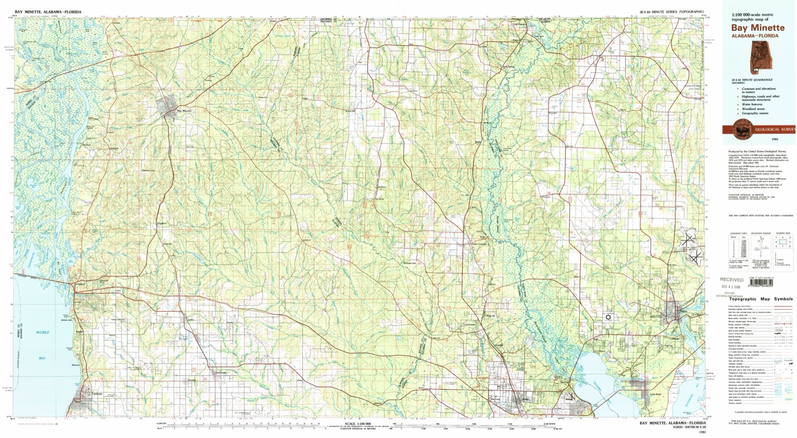
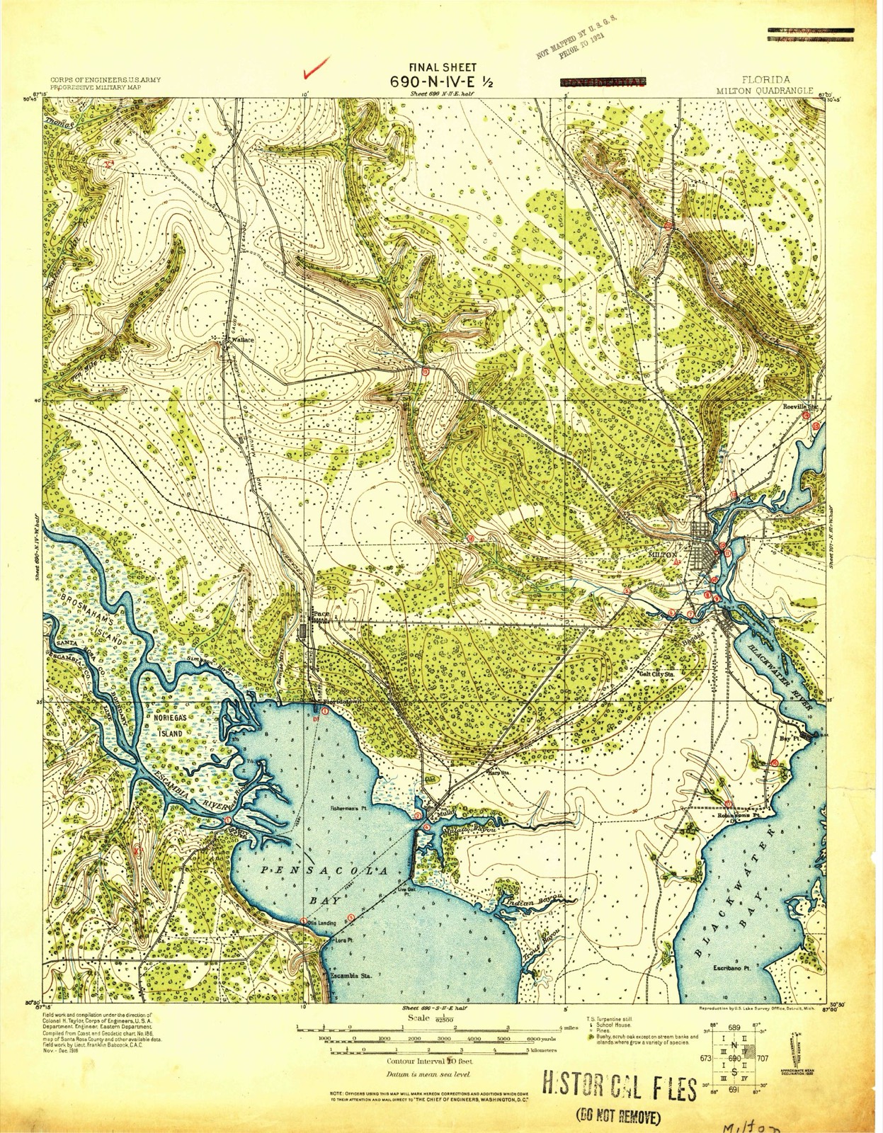
1920 to 1981The same ground, surveyed 61 years apart. Drag the handle to wipe between them. Both sheets are United States Geological Survey originals; neither has been altered.
On record in Milton
Buildings and businesses the archive holds for this place. Each opens its own page, with the source record it came from.
On the National Register 6 records
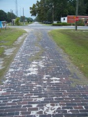 Florida State Road No. 1listed 1994
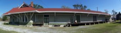 Louisville and Nashville Depotlisted 1982
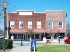 Milton Historic Districtlisted 1987
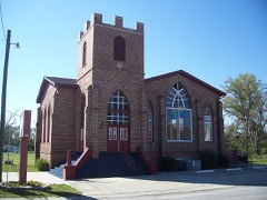 Mt. Pilgrim African Baptist Churchlisted 1992
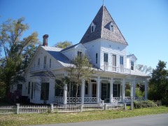 Ollinger-Cobb Houselisted 1983
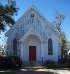 St. Mary's Episcopal Church and Rectorylisted 1982
Population over time
2 figuresMilton grew from 8,826 to 10,197 between 2010 and 2020. These are the recorded population figures Wikidata holds for this place, reached through the Geographic Names Information System number this page is keyed on rather than by name, so they belong to this place and not to another of the same name. Most are census counts, but not all are: an early figure may be a founding or settlement estimate, and an estimate published within five years of a census is left out. The change column is computed, and is left blank where more than 20 years separate a figure from the one before it, because a gap that long is not a change between two counts.
| Year | People | Change |
|---|---|---|
| 2010 | 8,826 | |
| 2020 | 10,197 | +1,371 (+16%) |
Topographic sheets covering this place
8 surveys from 15 printed sheetsMatched by testing this settlement's coordinate against the published boundary of every sheet in the United States Geological Survey's historical collection. Each opens the scanned sheet at the Survey.
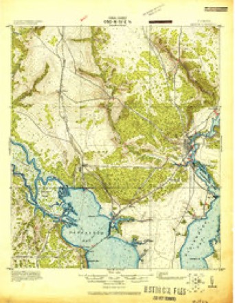
- 1920 USGS Milton quadrangle1:62500
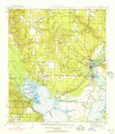
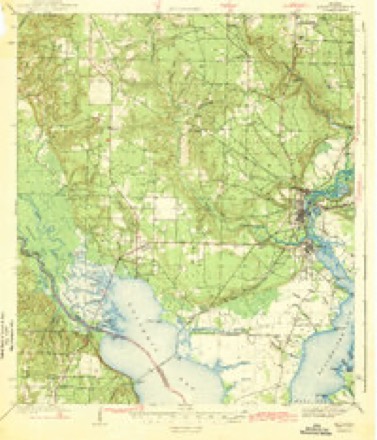
- 1941 USGS Milton quadrangle1:62500, 2 printings
- 1943 USGS Milton quadrangle1:62500, 2 printings
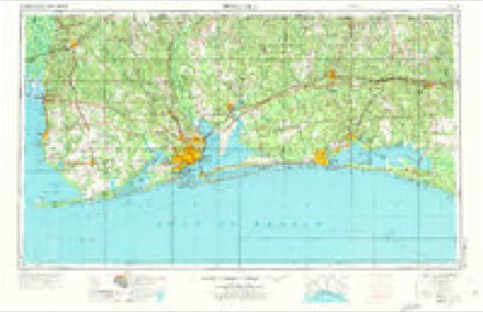
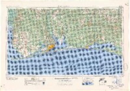
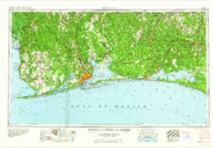
- 1957 USGS Pensacola quadrangle1:250000, 3 printings
- 1959 USGS Pensacola quadrangle1:250000
- 1960 USGS Pensacola quadrangle1:250000
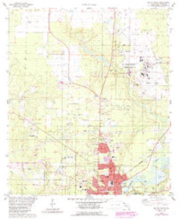
- 1978 USGS Milton North quadrangle1:24000, 3 printings
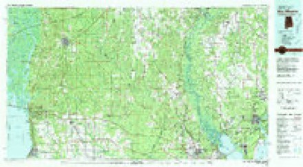
- 1981 USGS Bay Minette quadrangle1:100000, 2 printings
Fires near this place
512 since 1992Regional context, not property-specific evidence. The federal wildfire occurrence database lists 512 fires within 5 miles of Milton between 1992 and 2020, burning about 1,793 acres in total. 5 started naturally. 32 were recorded as arson. Distance is straight-line from the map coordinates, so a fire counted here may appear on a neighbouring settlement's page as well.
| Reported cause | Fires |
|---|---|
| Railroad operations and maintenance | 175 |
| Debris and open burning | 88 |
| Missing data/not specified/undetermined | 71 |
| Equipment and vehicle use | 63 |
| Misuse of fire by a minor | 42 |
| Arson/incendiarism | 32 |
| Smoking | 19 |
| Recreation and ceremony | 10 |
| Natural | 5 |
| Power generation/transmission/distribution | 3 |
| Other causes | 2 |
| Fireworks | 2 |
The most recent of them, most recent first, with the day each was reported and the service that recorded it.
| Date | Cause | Size | Reported by | Name on the report |
|---|---|---|---|---|
| 9 September 1999 | Railroad operations and maintenance | under an acre | Florida Forest Service | not named |
| 8 September 2004 | Power generation/transmission/distribution | under an acre | Florida Forest Service | NEW LAKE FIRE-1076 |
| 5 September 2004 | Debris and open burning | under an acre | Florida Forest Service | PARKER RD FIRE-1065 |
| 5 September 1995 | Railroad operations and maintenance | under an acre | Florida Forest Service | not named |
| 4 September 1997 | Equipment and vehicle use | under an acre | Florida Forest Service | not named |
| 4 September 1997 | Equipment and vehicle use | under an acre | Florida Forest Service | not named |
| 30 September 2019 | Debris and open burning | 1.8 acres | Florida Forest Service | PATTERSON TOWN (57) |
| 3 September 2006 | Debris and open burning | under an acre | Florida Forest Service | BENEVA RD FIRE1553 |
Settlements close enough to share some of these fires:
Mines and quarries near this place
10 of 15 shownRegional context, not property-specific evidence. The federal mineral resources record lists 15 workings within 5 miles of Milton: 13 unknowns, 2 past producers. None of them still produces. What was taken out: Sand, Clay, Sand and Gravel, Construction. Distance is straight-line from the map coordinates, so a quarry counted here may appear on a neighbouring settlement's page as well.
| Where | Site | Commodity | Status | Recorded |
|---|---|---|---|---|
| Gault City Pit | Sand and Gravel, Construction | Past Producer | ||
| Gault City Pit | Sand and Gravel, Construction | Past Producer | ||
| Kehoe Farm Clay Deposit | Clay | Unknown | ||
| Santa Rosa Co. Road Dept. - Avalon Mine | Clay | Unknown | ||
| Santa Rosa Co. Road Dept. - Geiger Mine | Clay | Unknown | ||
| Dot Pensacola - Rest Area Mine | Sand | Unknown | ||
| Edward M. Chadburn, Inc. - Hickory Hammock Mine | Sand | Unknown | ||
| Edward M. Chadburn, Inc. - Santa Rosa Mine | Sand | Unknown | ||
| Edward M. Chadburn, Inc. - T-Field Mine | Sand | Unknown | ||
| Salter/3-C's - B.Lowery Mine | Sand | Unknown | Sand |
Storms near this place
60 of 93 shownRegional context, not property-specific evidence. The National Weather Service names Milton in 93 storm reports between 1995 and 2025: 39 thunderstorm wind, 26 lightning, 17 hail, 6 flash flood. The reports record 6 injuries. Each account below is quoted exactly as the forecast office filed it, from the NOAA Storm Events Database, and each date opens the federal record of that event.
| When | Event | Place named | Harm | What the report says |
|---|---|---|---|---|
| August 2019 | Lightning | Milton | 2 hurt | Two people injured by lighting strike while sitting on metal chairs near the edge of a carport. |
| August 2013 | Lightning | Milton | 1 hurt, $5,000 | Lightning caused house fire and a shed fire due to separate lightning strikes near East Milton. |
| January 2020 | Lightning | Milton | 1 hurt | A person was indirectly struck on Forrestwood Drive. Person is conscious and alert. |
| August 2014 | Lightning | Milton | 1 hurt | Lightning struck a vehicle and injured a person leaning against it. |
| June 2012 | Lightning | Milton | 1 hurt | A woman was struck by lightning. |
| March 2005 | Hail | Milton | $2,500,000 | Large hail fell across the central part of Santa Rosa county. The large hail fell from near Milton to near Allentown. The largest confirmed hail was the size of baseballs. Larger hail was reported but no confirmation of these reports were ever received. The large hail damaged several helicopters and airplanes at Whiting Field Naval Air Station. Several buildings on the base also suffered roof damage. Several automobile dealerships around Milton reported hail damage to vehicles. A group of bicycle riders were out on a morning ride when the storm developed. They had to get off the road and hold their bicycles over them to protect their bodies from the large hail. One of the riders helmets was damaged by the hail. |
| October 2001 | Tornado (F1) | Milton | $625,000 | An F1 tornado occurred near Byron Street just to the northwest of Milton High School. Most of the damage produced by the tornado was to trees and to the roofs of homes, with one of the homes having it's roof completely torn off. The most significant damage which resulted from the tornado occurred at a storage facility near Stewart Street. Several units of the long storage buildings were damaged, and three rental trucks were also damaged. Shortly after passing north of the storage facility, the tornado lifted back into the cloud. |
| November 2004 | Tornado (F1) | Milton | $75,000 | An F1 tornado touched down just southwest of Milton near Avalon Blvd. The tornado damaged several roofs as it moved east. The tornado also damaged several FEMA trailers, that had been brought into the area after Hurricane Ivan, just east of Avalon Blvd. The tornado then dissipated. |
| August 2020 | Lightning | Milton | $50,000 | A house was hit by lightning and sustained heavy damage due to fire. |
| June 2017 | Lightning | Milton | $50,000 | A lightning strike caused a house fire on Ridgeview Drive. |
| June 2017 | Lightning | Milton | $50,000 | House fire caused by lightning strike on Camille Gardens Circle. |
| March 2013 | Lightning | Milton | $50,000 | Lightning caused significant damage to a house. |
| February 2008 | Thunderstorm Wind | Milton | $50,000 | Strong winds downed trees from Milton to Jay to Munson. Some of the trees fell on houses. |
| July 2005 | Lightning | Milton | $50,000 | Lightning struck a home near Milton and started a fire. Most of the home was destroyed before the fire could be put out. |
| November 2007 | Thunderstorm Wind | Milton | $50,000 | no account filed |
| March 2001 | Thunderstorm Wind | Milton | $35,000 | High winds from a thunderstorm blew several trees and power lines down near Milton. A roof was blown off a manufactured home in the area. Wind gusts of 58 mph were reported on Whiting Field at an observation site. |
| March 2014 | Thunderstorm Wind | Milton | $30,000 | no account filed |
| April 2014 | Lightning | Milton | $25,000 | Lightning struck a home in east Milton causing damage. |
| April 2000 | Thunderstorm Wind | Milton | $22,000 | High winds damaged three homes just off of State Highway 87 and just south of Whiting Field. Siding and pieces of tin were picked up by the wind and blown into the houses. Most of the damage was to the roofs of the homes caused by flying debris. Trees and power lines were also blown down. |
| May 2002 | Lightning | Milton | $20,000 | Lightning struck the Emergency Management building near Milton and knocked out their 911 service. Other electronic equipment also suffered damage. |
| July 2000 | Thunderstorm Wind | Milton | $15,000 | Strong thunderstorm winds blew down numerous trees and power lines between Milton and Munson. |
| March 1999 | Thunderstorm Wind | Milton | $15,000 | Several trees and power lines were blown down in the Pine Bluff Community north of Milton. |
| November 2006 | Thunderstorm Wind | Milton | $12,000 | High winds from a thunderstorm blew down several trees and power lines near Milton. |
| August 2020 | Lightning | Milton | $10,000 | A house was hit by lightning and sustained minor smoke damage. |
| March 2019 | Lightning | Milton | $10,000 | Lightning struck a home causing damage to wiring and electrical outlets. |
| March 2019 | Lightning | Milton | $10,000 | Lightning struck a transformer taking down power lines and causing a small grass fire along Highway 90. |
| December 2010 | Thunderstorm Wind | Milton | $10,000 | Wind gusts estimated at 70 mph knocked a chimney over. Small metal structures were also damaged. Trees and power lines were downed along Antelope Street. |
| June 2006 | Thunderstorm Wind | Milton | $10,000 | High winds from a thunderstorm blew down several trees near Milton. |
| August 2003 | Lightning | Milton | $10,000 | Lightning struck a house and started a fire. The fire was extinguished by the fire department but not before the house suffered damage. No one was injured. |
| March 2002 | Thunderstorm Wind | Milton | $10,000 | Trees and power lines were blown down east of Milton. |
| January 1999 | Thunderstorm Wind | Milton | $10,000 | The only major damage report in the county was that of a roof torn off of a double wide trailer. The trailer, located on Milton's southeast side, was shifted from its foundation due to the damaging wind. |
| September 1998 | Thunderstorm Wind | Milton | $10,000 | High winds damaged a building on the Naval Air Station at Whiting Field in Milton. |
| April 2011 | Lightning | Milton | $8,000 | Air conditioning unit took a direct lightning strike resulting in smoke inside a residence. |
| June 2004 | Thunderstorm Wind | Milton | $8,000 | Winds from a thunderstorm blew down several trees and power lines just east of Milton. Some minor roof damage was also reported. |
| June 2004 | Thunderstorm Wind | Milton | $8,000 | High winds from a thunderstorm blew down several trees near Milton. |
| June 2004 | Thunderstorm Wind | Milton | $8,000 | High winds from a thunderstorm blew down several trees just north of Milton. |
| June 2018 | Lightning | Milton | $5,000 | Lightning struck a commercial building in Milton. |
| January 2017 | Lightning | Milton | $5,000 | Lightning struck a house on Sunflower Avenue. |
| August 2016 | Lightning | Milton | $5,000 | Lightning struck a house. |
| July 2012 | Thunderstorm Wind | Milton | $5,000 | Winds estimated at 60 mph downed trees near I-10. |
| February 2011 | Thunderstorm Wind | Milton | $5,000 | Winds estimated at 60 mph downed trees across a road. |
| April 2011 | Lightning | Milton | $5,000 | Lightning strike to a motor home resulted in a small fire. |
| December 2010 | Thunderstorm Wind | Milton | $5,000 | Wind gusts estimated at 70 mph downed trees and along Red Fox Lane. |
| February 2003 | Lightning | Milton | $5,000 | Lightning from a thunderstorm hit the communication center in Milton and started a fire. The fire was put out with minor damage occurring to some electronic equipment at the center. |
| November 2002 | Thunderstorm Wind | Milton | $5,000 | High thunderstorm winds downed a few trees near Milton. |
| June 1999 | Lightning | Milton | $5,000 | Lightning struck the Santa Rosa county 911 center during the afternoon. It knocked the center off the air for several hours and they had to use a backup system to handle emergency calls. |
| January 1999 | Thunderstorm Wind | Milton | $5,000 | Several trees were blown down around the Santa Rosa County Emergency Management Office. |
| August 1997 | Thunderstorm Wind | Milton | $5,000 | Several trees and power lines were blown down in the east parts of Milton . |
| October 1997 | Thunderstorm Wind | Milton | $5,000 | Two pine trees were uprooted just east of Milton. Part of a fence was blown down and a couple of windows were blown out of a motor home. |
| April 2005 | Hail | Milton | $4,000 | Golfball size hail fell from a thunderstorm near Milton. The large hail damaged several vehicles. |
| August 1998 | Lightning | Milton | $4,000 | Lightning struck the Santa Rosa county communications center in Milton. The strike knocked out the 911 operations for the county for several minutes. |
| December 2010 | Thunderstorm Wind | Milton | $3,000 | Wind gusts estimated at 70 mph blew a small shed into a home. Trees and fences were downed along Iron Gate Blvd. |
| September 2018 | Thunderstorm Wind | Milton | $2,000 | High winds snapped a cedar tree in the Point Baker area near Whiting Field. |
| July 1995 | Thunderstorm Wind | Milton | $2,000 | Several trees were blown down in the west parts of Milton. One of the trees fell on a house causing damage to the roof. |
| November 1997 | Thunderstorm Wind | Milton | $1,500 | Trees were blown down along State Road 87 in Milton. |
| April 1995 | Thunderstorm Wind | Milton | $500 | Several trees were blown down in the Milton area. |
| April 1995 | Thunderstorm Wind | Milton | $500 | Trees and large limbs were blown down in the Milton area. |
| February 1996 | Lightning | Milton | $500 | no account filed |
| May 2024 | Thunderstorm Wind | Milton | - | Numerous trees and power lines down in the Milton and Bagdad areas. |
| April 2023 | Thunderstorm Wind | Milton | - | High winds downed multiple trees and power lines. |
Nearest settlements
The eight closest, with where each one stands in the county. Distances are straight-line, computed from the Geographic Names Information System coordinates.
| Map | Place | Distance | Sheets |
|---|---|---|---|
| East Milton | 1.5 miles | 15 | |
| Bagdad | 2.4 miles | 15 | |
| Galt City | 3.1 miles | 15 | |
| Roeville | 3.9 miles | 18 | |
| Ward Basin | 4.0 miles | 20 | |
| Point Baker | 4.1 miles | 15 | |
| Pine Bluff | 6.0 miles | 20 | |
| Harp | 6.1 miles | 15 |
Elsewhere
Matched on this settlement's Geographic Names Information System number rather than its name, so it cannot be a different place of the same name in another state.
| Wikipedia article on Milton | An encyclopaedic summary. Its text is share-alike, so it is linked here rather than copied. |
| Wikidata item Q962936 | The structured record the population and elevation above come from. Public domain (CC0). |
Provenance
This settlement is recorded in the Geographic Names Information System as feature 286947. The sheet list is computed by point-in-boundary test against the United States Geological Survey's historical topographic inventory. Both are works of the United States government and carry no copyright under 17 U.S.C. 105.
Wildfire. Short, Karen C. 2022. Spatial wildfire occurrence data for the United States, 1992-2020 [FPA_FOD_20221014]. 6th Edition. Fort Collins, CO: Forest Service Research Data Archive. https://doi.org/10.2737/RDS-2013-0009.6 Collected with United States Government funding and usable without additional permissions or fees.
Mines and quarries. USGS Mineral Resources Data System (MRDS) https://mrdata.usgs.gov/mrds/ A work of the United States government, no copyright under 17 U.S.C. 105.
Storms. NOAA National Centers for Environmental Information, Storm Events Database https://www.ncei.noaa.gov/stormevents/ A work of the United States government, no copyright under 17 U.S.C. 105. Narratives are quoted verbatim from the National Weather Service report and are not edited or summarised.