 Block
BlockFrom the record
11 National Register listings published here.
Sources: the National Register database, National Park Service
125 topographic sheets cover 47 settlements here, and 11 properties are on the National Register of Historic Places.
11 National Register listings published here.
Sources: the National Register database, National Park Service
Every property in this county listed on the National Register of Historic Places, with the year it was listed and the federal nomination document.
| Photograph | Property | Type | Listed | Reference |
|---|---|---|---|---|
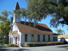 | Bagdad Village Historic District | district | 1987 | 87001991 |
| Fidelis School | building | 2021 | 100007241 | |
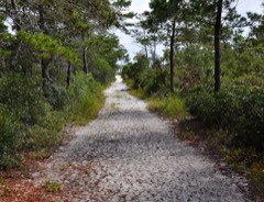 | First American Road in Florida | site | 1998 | 98001168 |
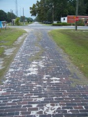 | Florida State Road No. 1 | structure | 1994 | 94000626 |
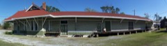 | Louisville and Nashville Depot | building | 1982 | 82001041 |
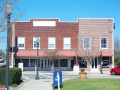 | Milton Historic District | district | 1987 | 87001944 |
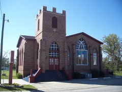 | Mt. Pilgrim African Baptist Church | building | 1992 | 92000634 |
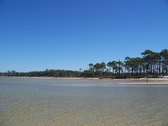 | Naval Live Oaks Reservation | site | 1998 | 98001169 |
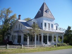 | Ollinger-Cobb House | building | 1983 | 83001440 |
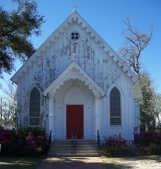 | St. Mary's Episcopal Church and Rectory | building | 1982 | 82002380 |
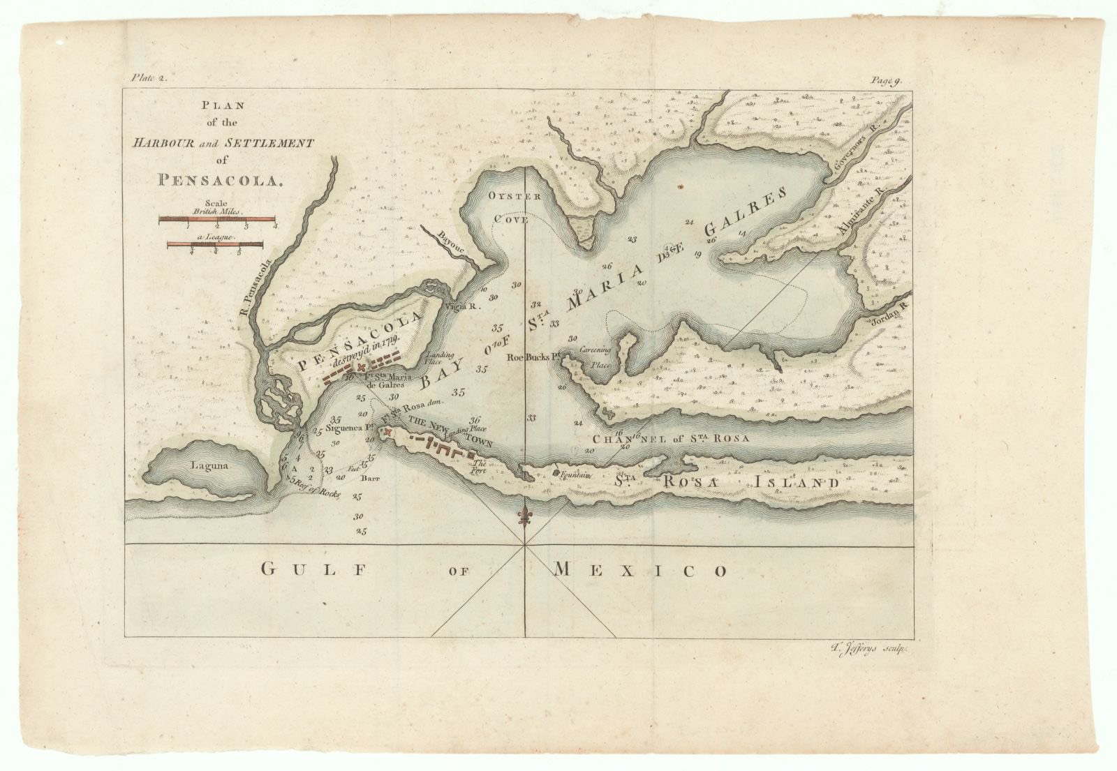
Selected from the Digital Public Library of America's 4 image records catalogued for this county. Every one shown here carries a public-domain status or a licence that permits reuse on a site that carries advertising; non-commercial, share-alike and restricted images are excluded. The selection is spread across the county's towns (at most eight per town), so no single institution's bulk upload crowds out the rest. Each opens the holding library's record, and the complete set at the Digital Public Library of America is one click away.
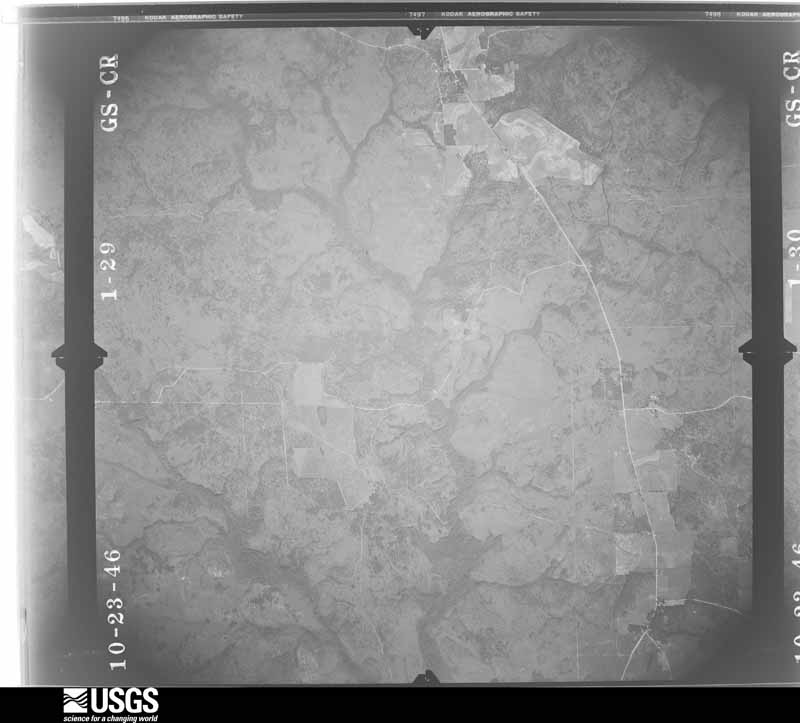
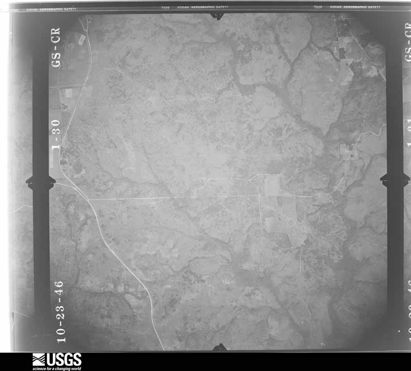
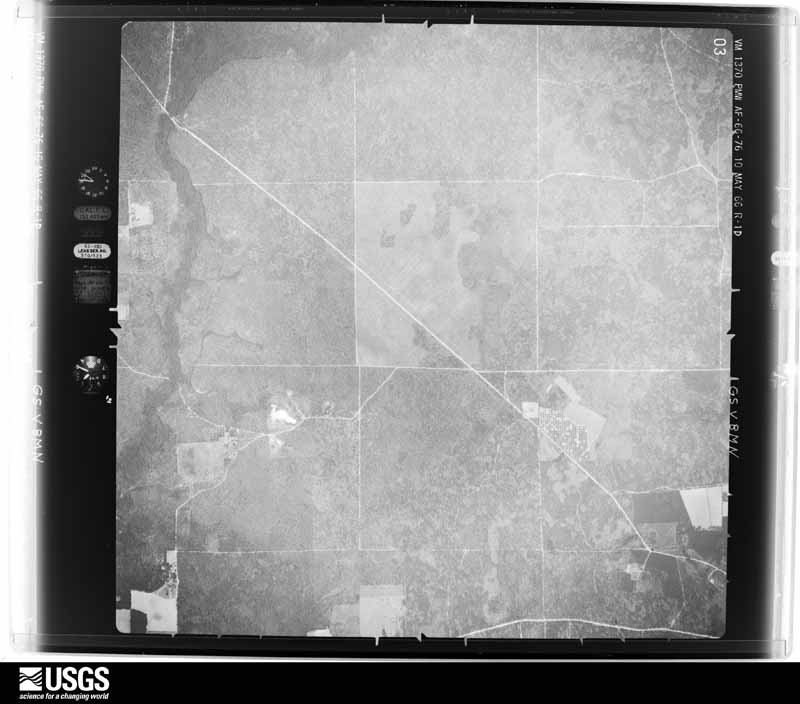
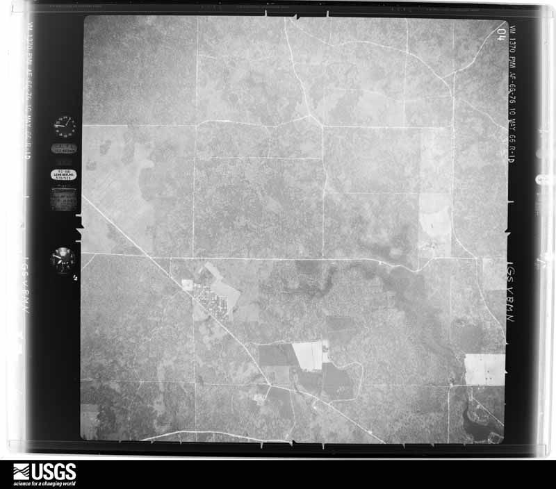
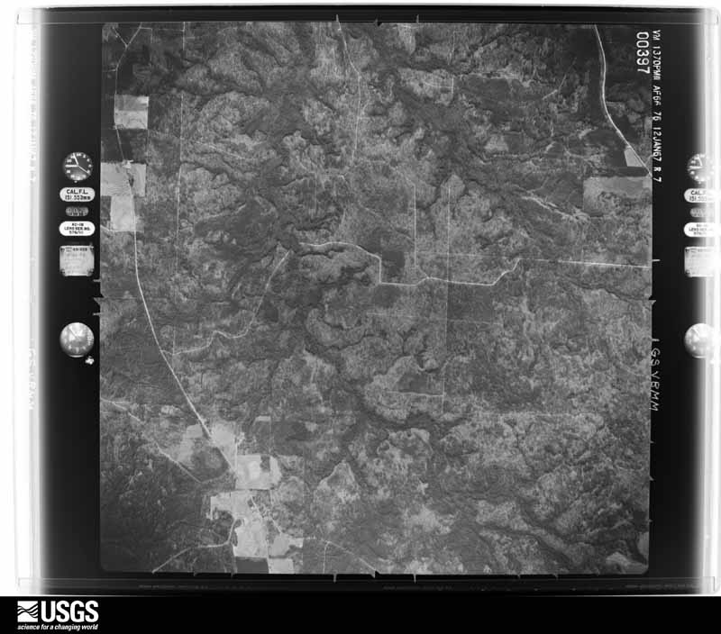
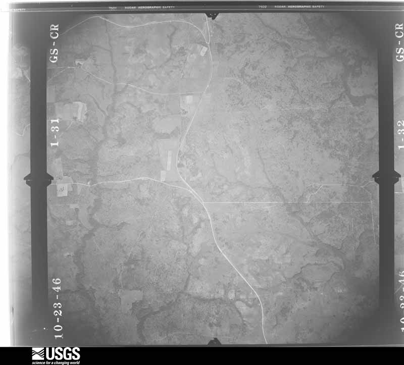
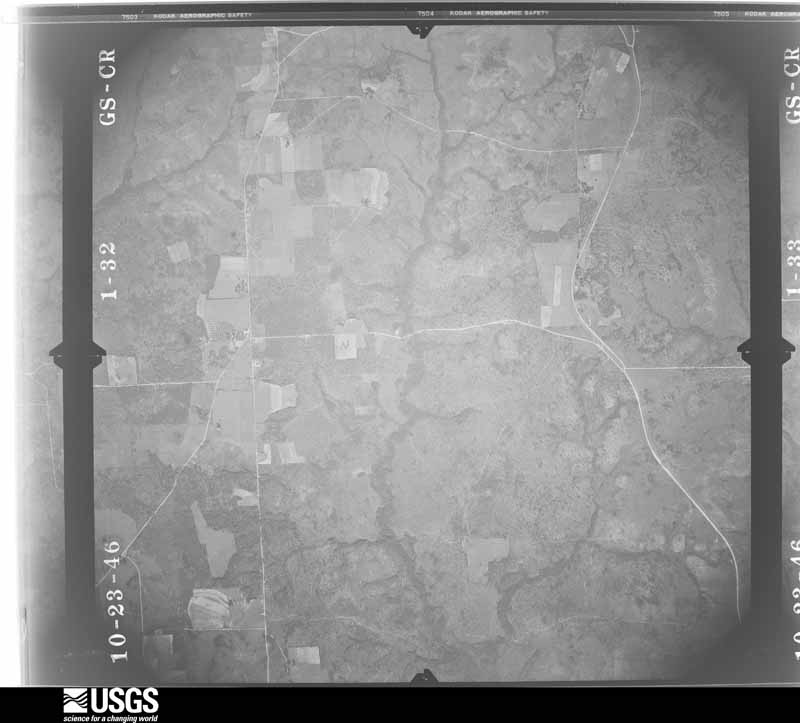
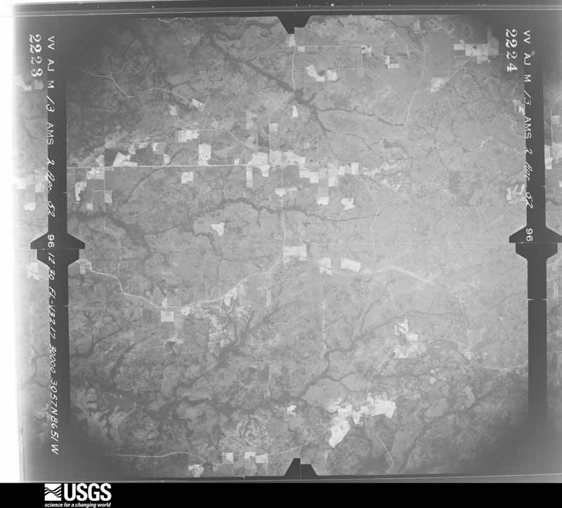
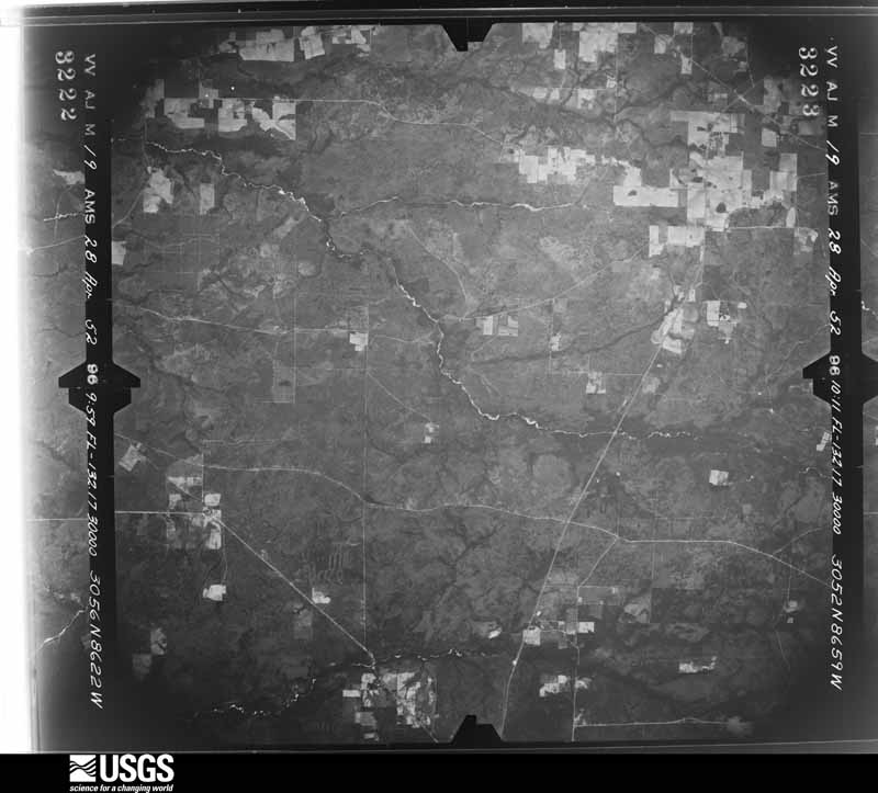
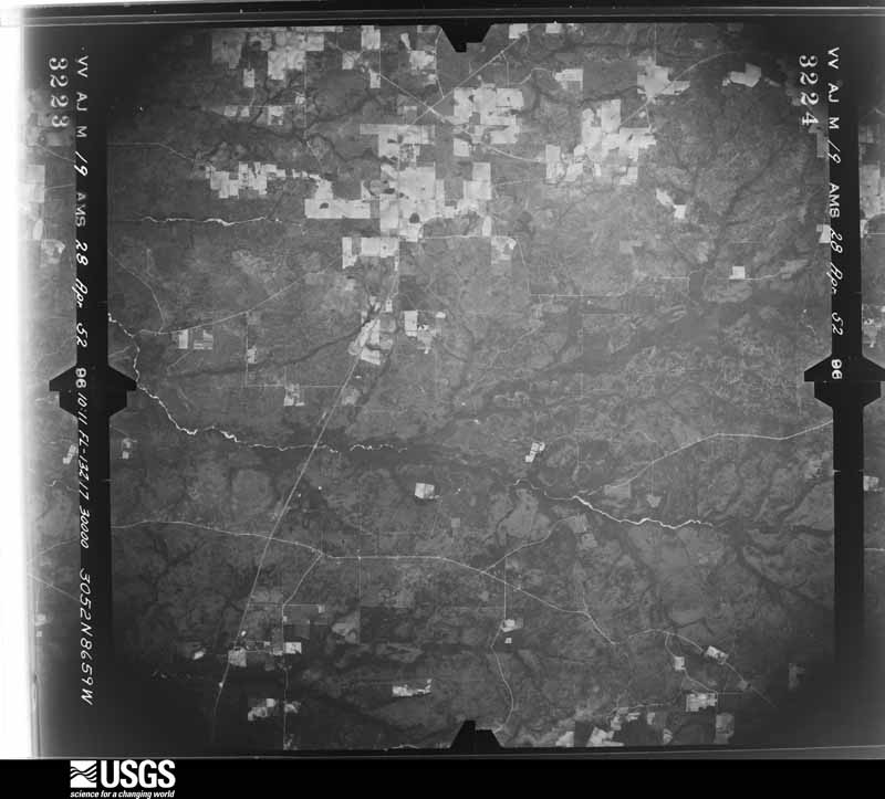
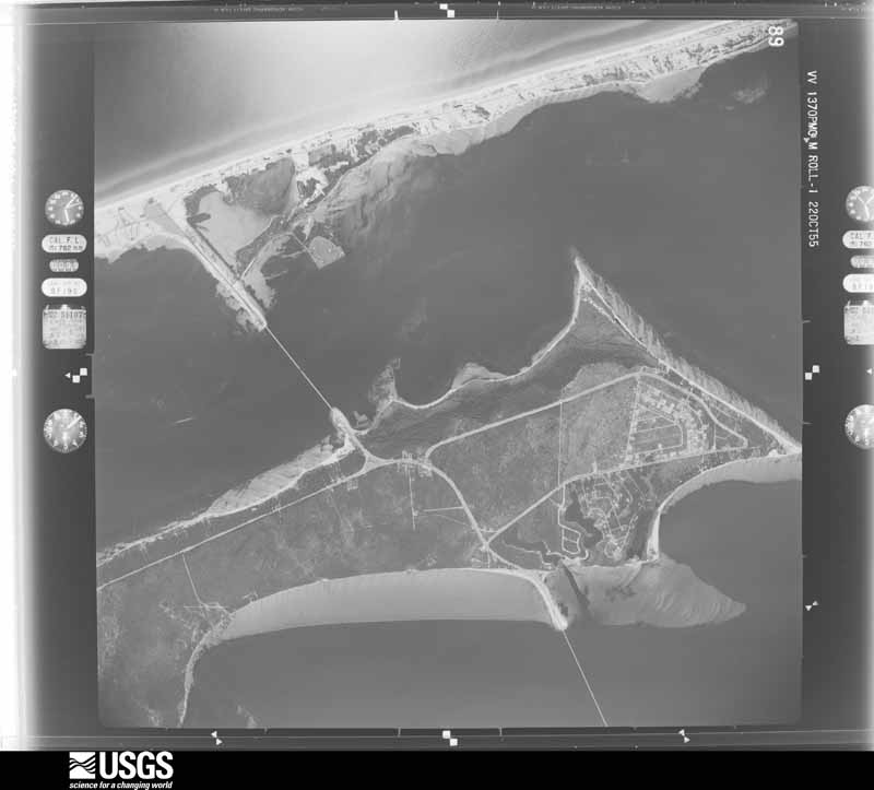
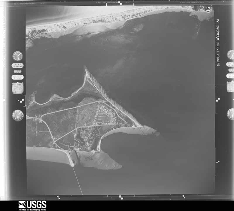
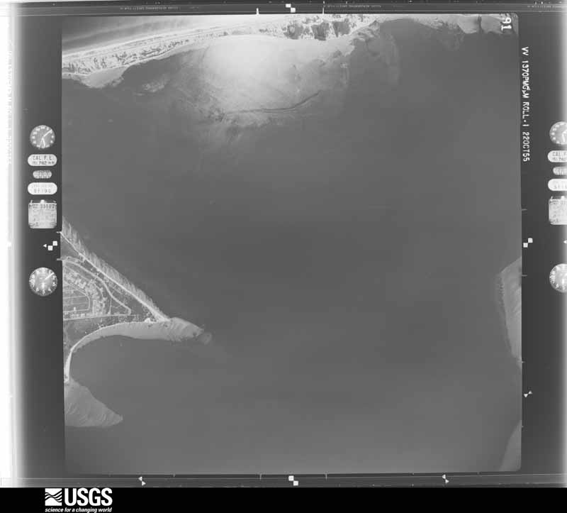
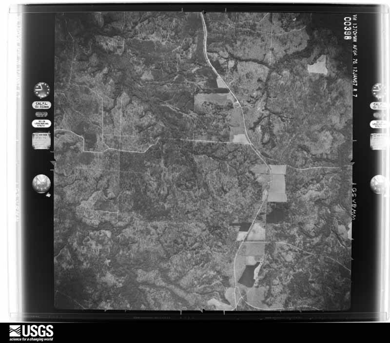
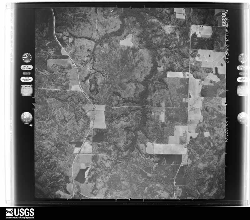
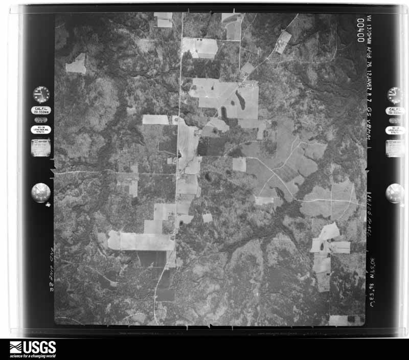
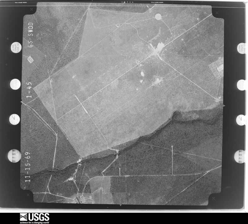
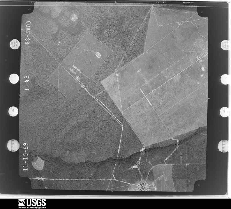
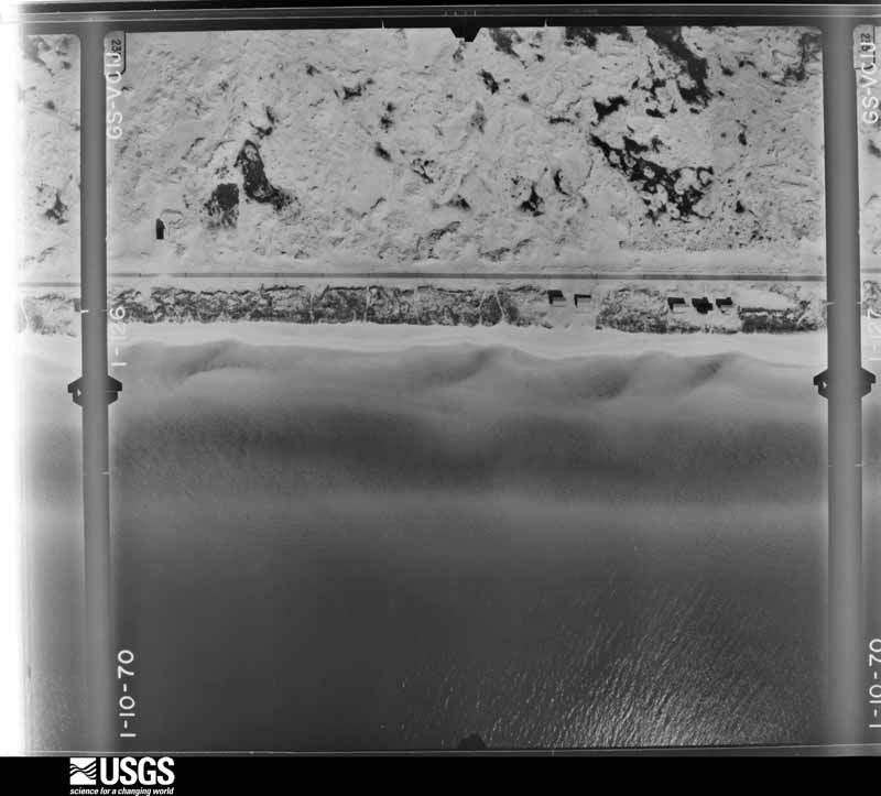
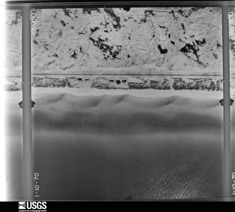
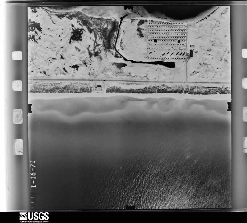
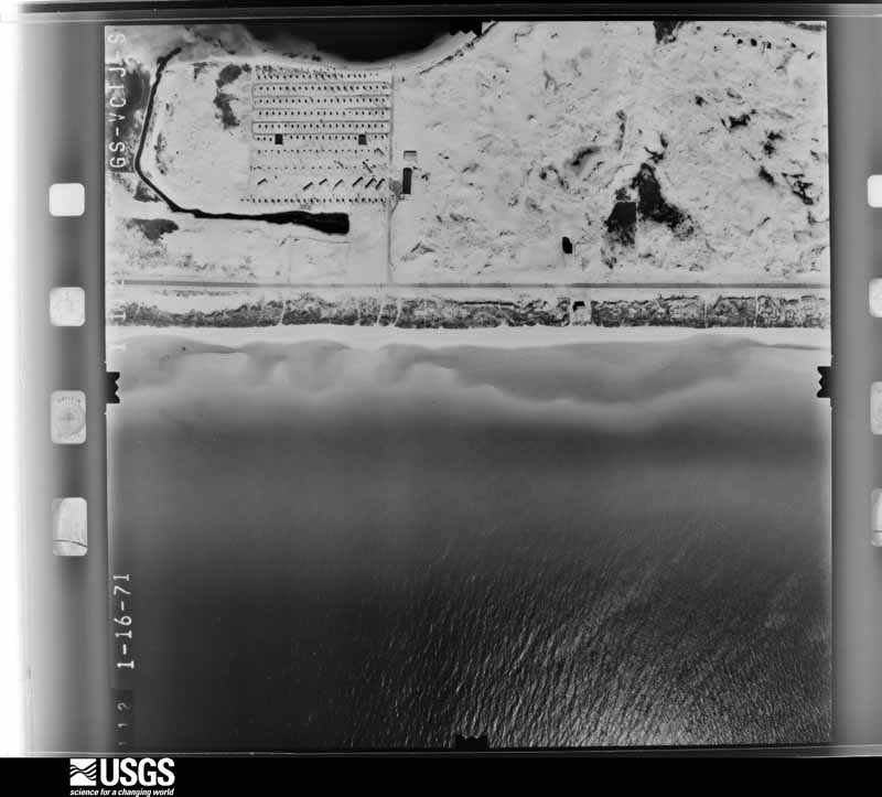
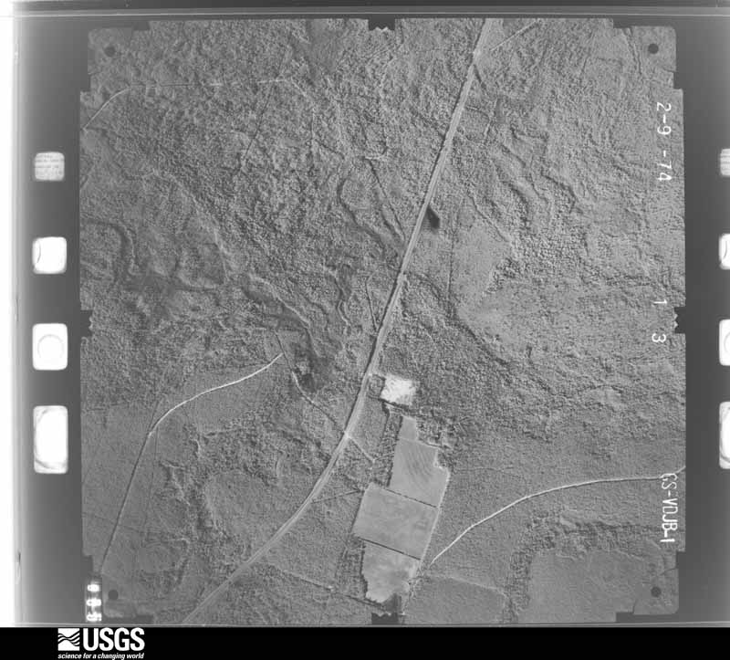
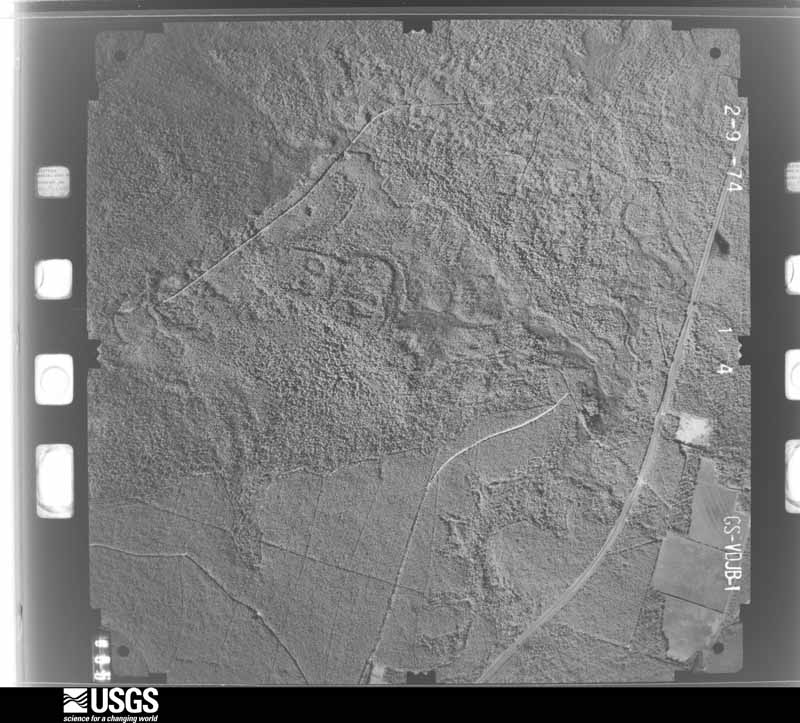
Flown by the U.S. Geological Survey between 1937 and 1989, the Aerial Photo Single Frames collection is the definitive mid-century view of the land: fields, roads and rivers as the camera saw them. The Survey holds 2,068 frames inside the rectangle that bounds this county; the 48 frames below were taken over the county itself, chosen across the decades of flights (at most four a year from that rectangle), so one flight cannot crowd out the rest. The full set is free to browse and download at EarthExplorer under the dataset Aerial Photo Single Frames.
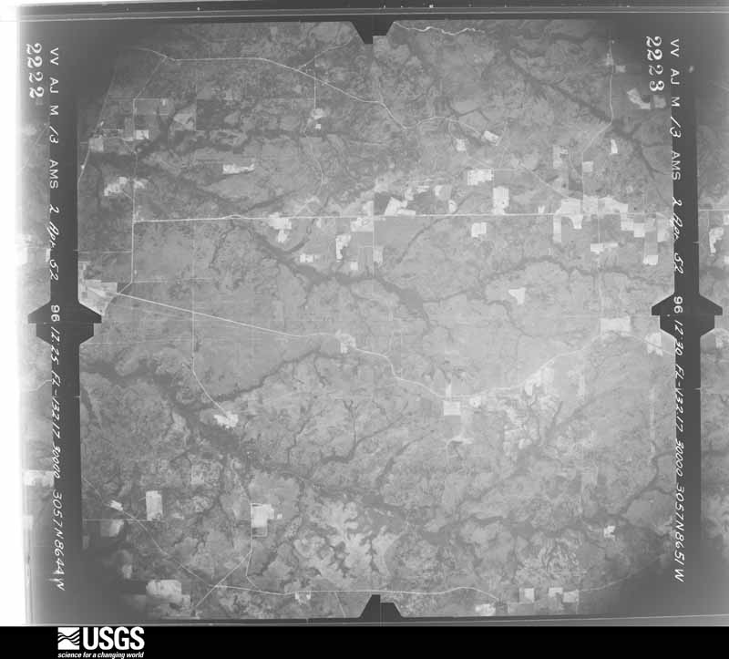
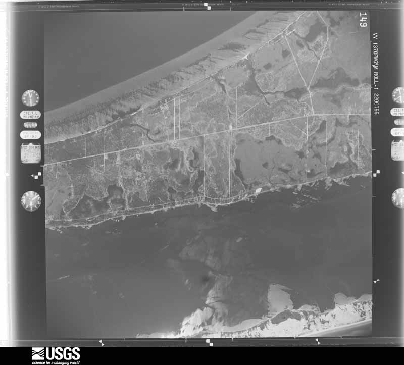
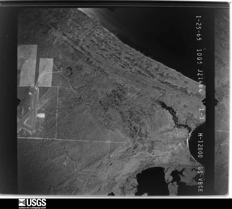
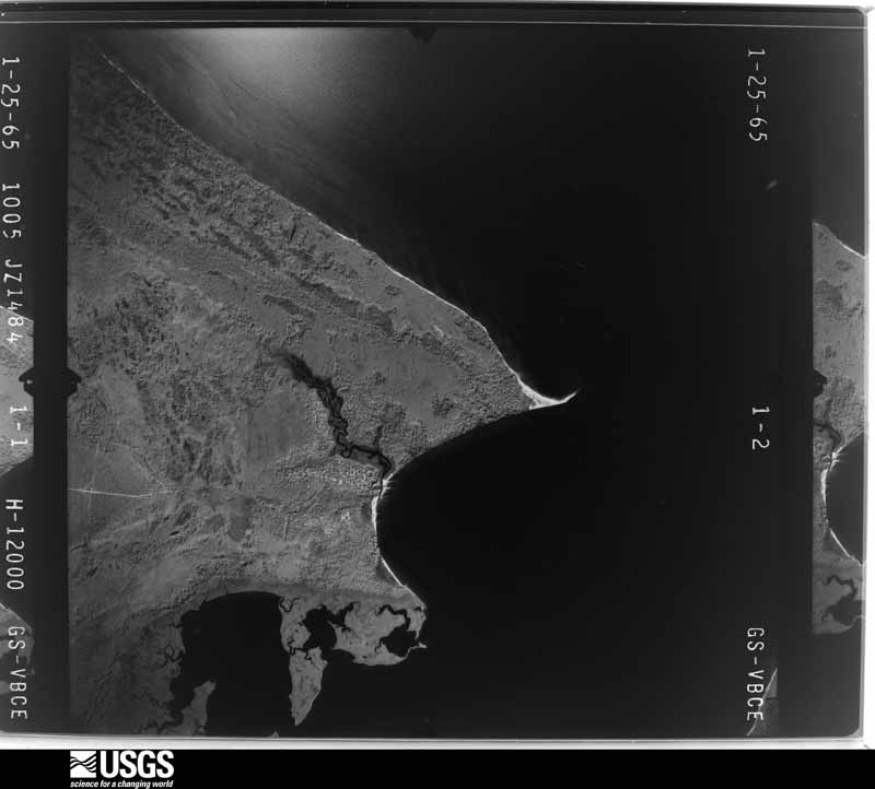
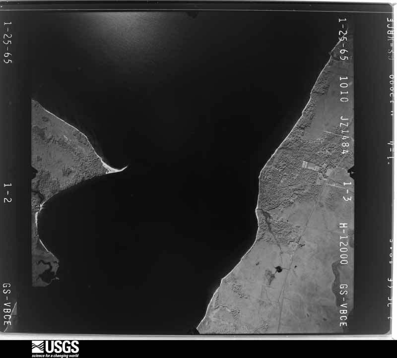
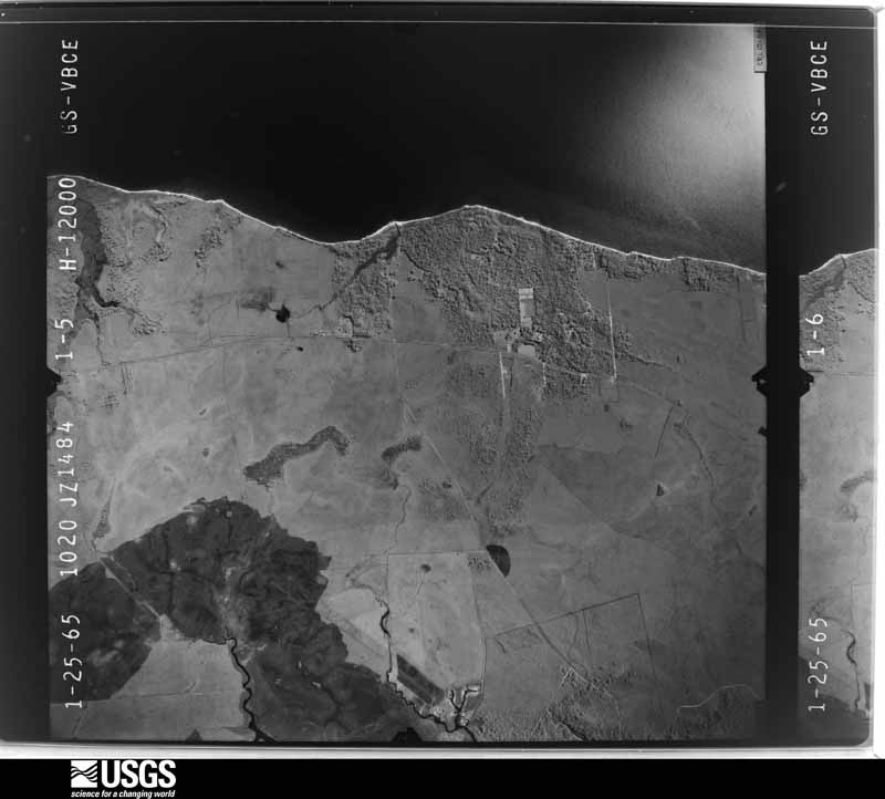
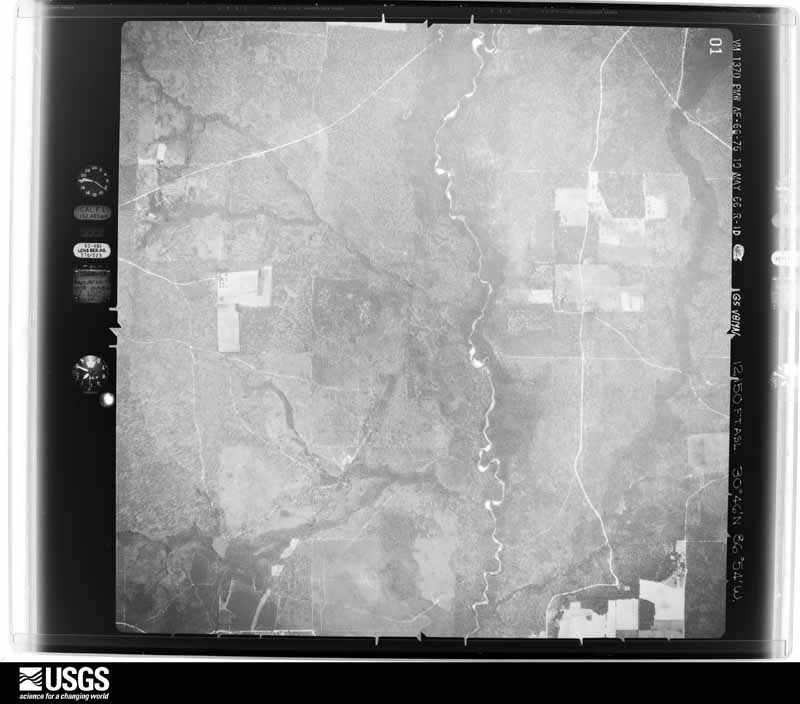
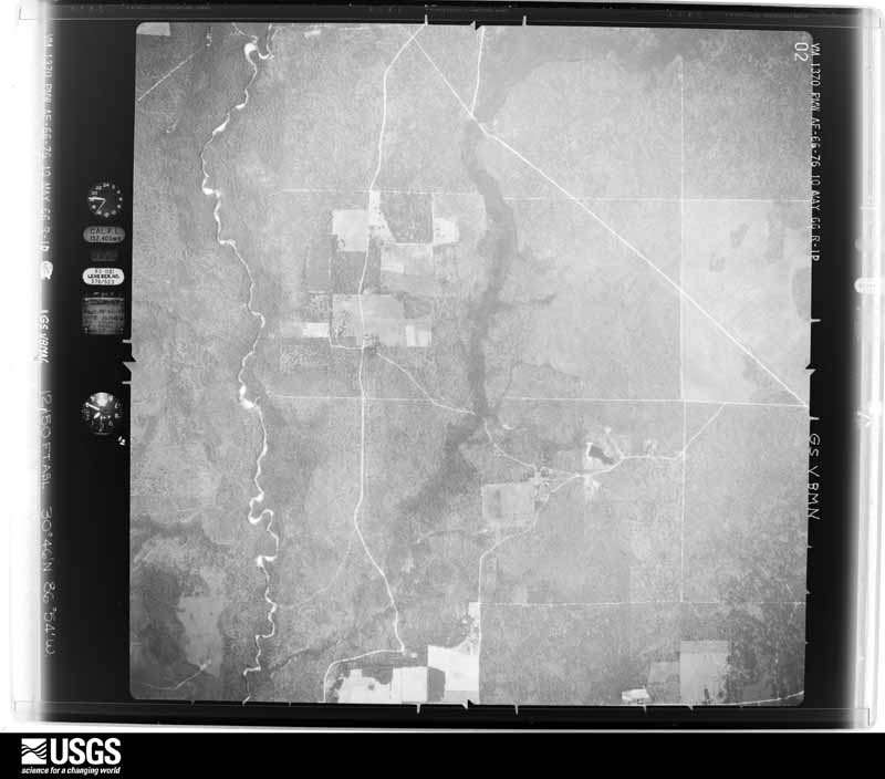
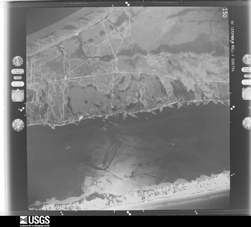
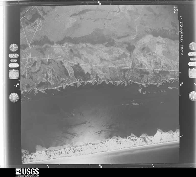
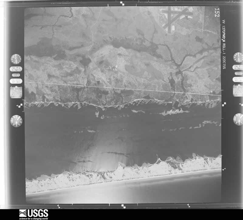
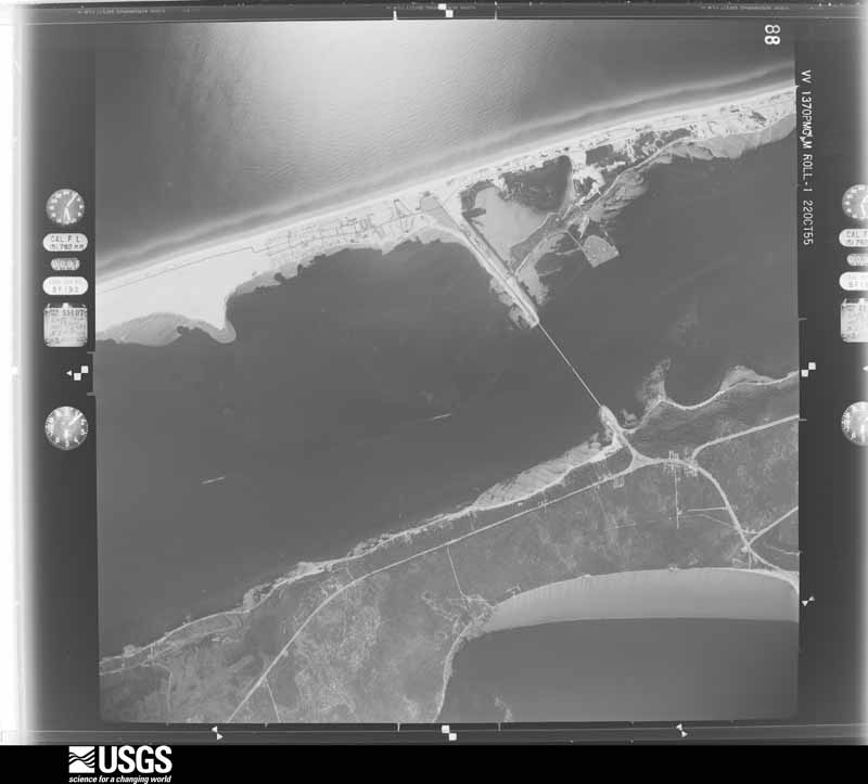
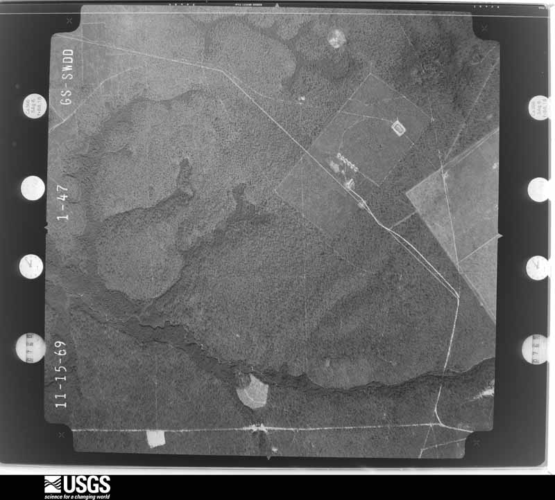
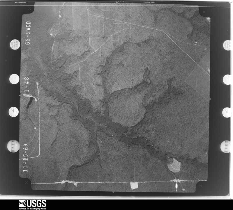
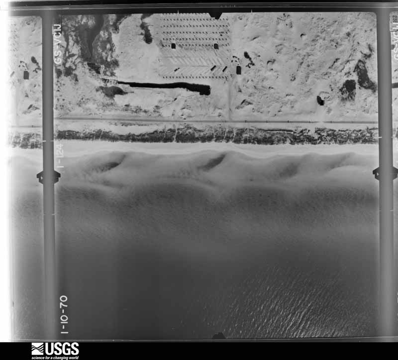
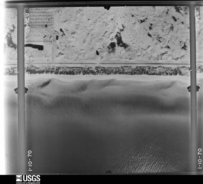
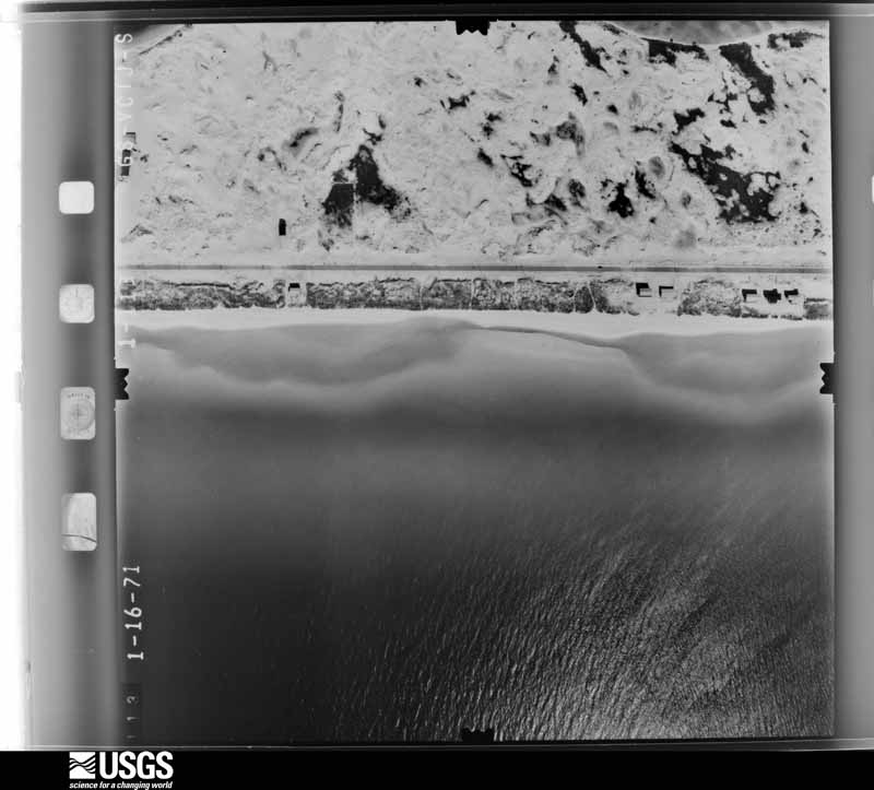
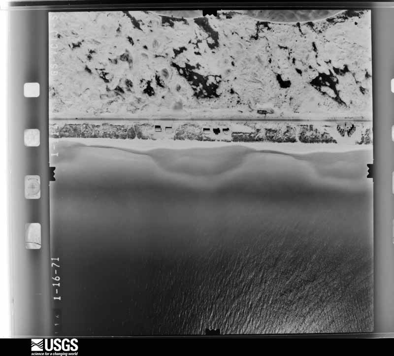
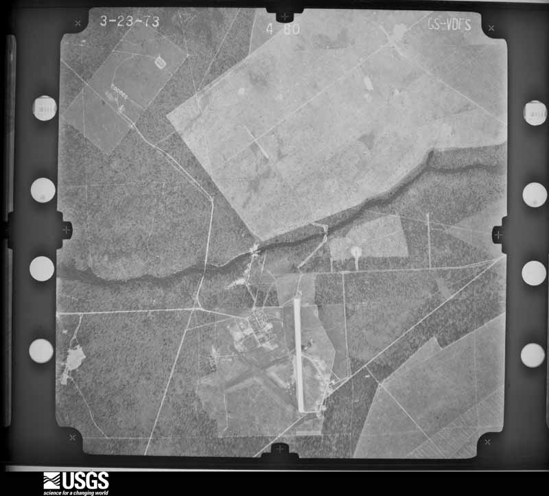
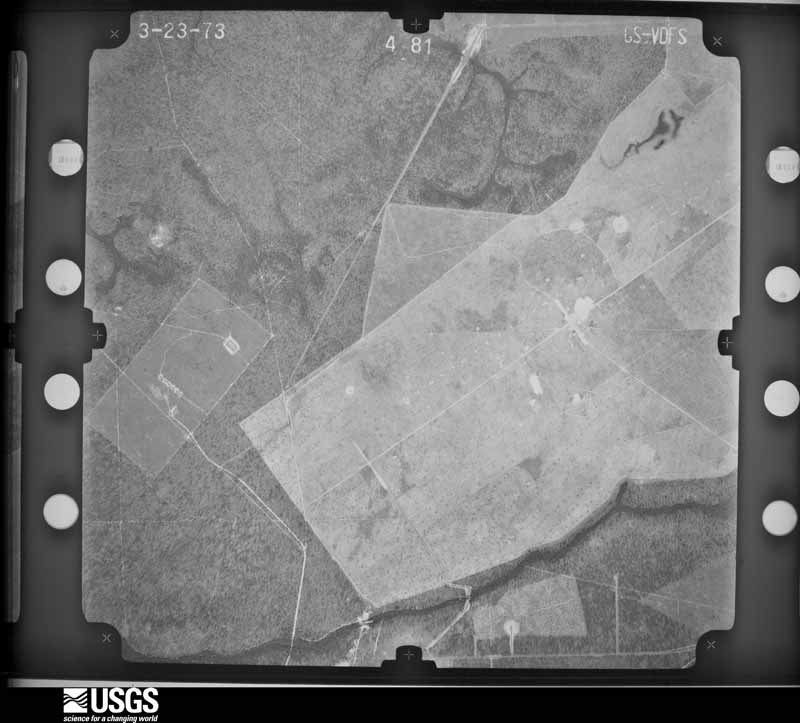
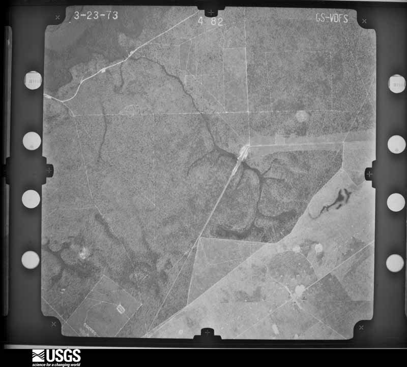
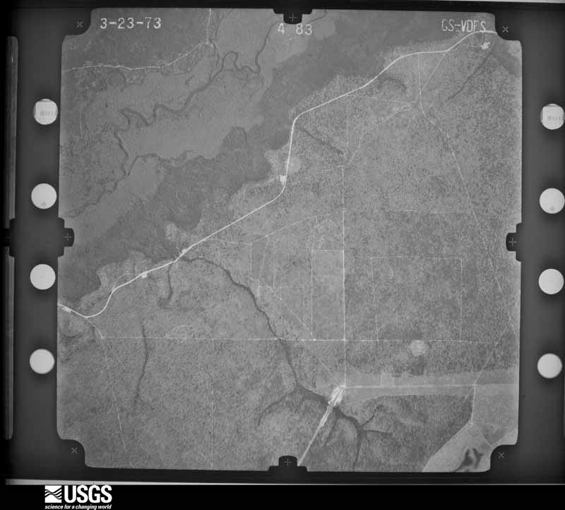
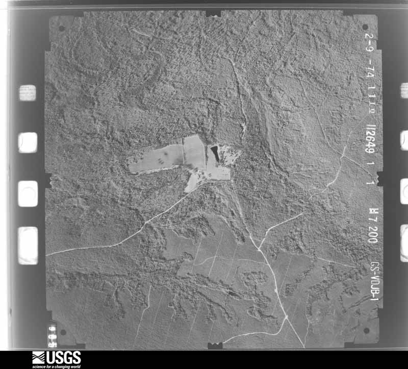
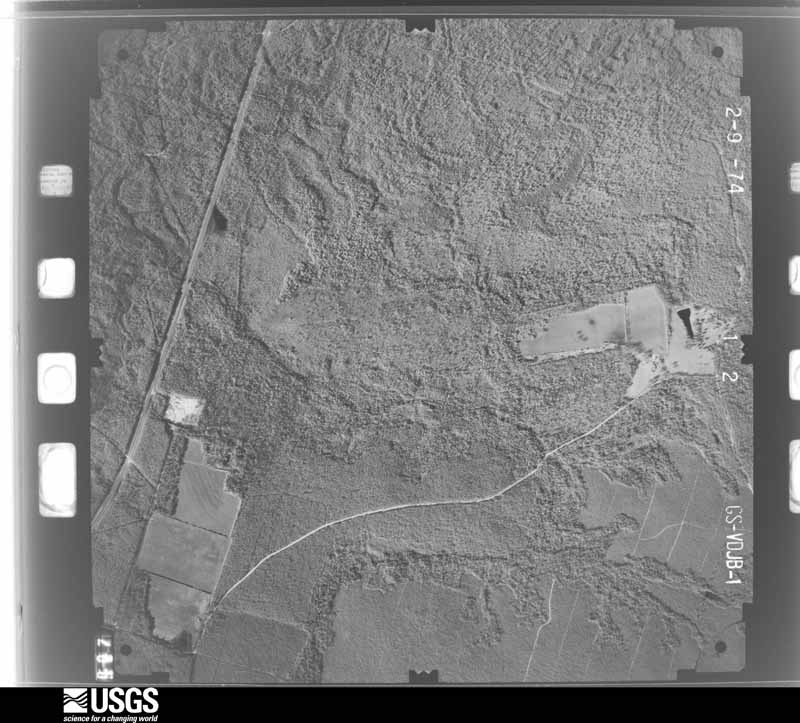
The thermometers that kept this county's weather, and the gages that measured the flow of its streams, as the federal records hold them. The extremes below are measured values from those records, not estimates.
Who lived here in 1950, one enumeration district at a time, as the Census Bureau described each district. Each row opens its official National Archives result, with Population Schedules and ED Maps available there.
Every wildfire the federal occurrence database records inside this county: 3,340 of them, burning about 81,865 acres. 122 started naturally and 383 were recorded as arson. Each settlement page carries the fires within five miles of it.
| Reported cause | Fires |
|---|---|
| Equipment and vehicle use | 794 |
| Railroad operations and maintenance | 664 |
| Missing data/not specified/undetermined | 544 |
| Debris and open burning | 473 |
| Arson/incendiarism | 383 |
| Misuse of fire by a minor | 165 |
| Natural | 122 |
| Smoking | 74 |
| Recreation and ceremony | 49 |
| Power generation/transmission/distribution | 39 |
| Other causes | 20 |
| Fireworks | 13 |
The five largest, by the area the report gives. One of them was set deliberately.
| Date | Cause | Size | Reported by | Name on the report |
|---|---|---|---|---|
| 8 March 2016 | Missing data/not specified/undetermined | 7,500 acres | Eglin Air Force Base | HORNET COMPLEX |
| 5 March 2013 | Missing data/not specified/undetermined | 5,100 acres | Eglin Air Force Base | LOW KEY |
| 20 March 2019 | Missing data/not specified/undetermined | 4,930 acres | Eglin Air Force Base | WET POND |
| 1 May 2003 | Missing data/not specified/undetermined | 4,900 acres | Eglin Air Force Base | 234 |
| 10 January 2015 | Missing data/not specified/undetermined | 4,490 acres | Gulf Island National Seashore | ESCRIBANO GCPEP |
| 23 February 2018 | Arson/incendiarism | 2,926 acres | Florida Forest Service | JUNIPER CREEK EAST (57) |
| 19 January 2009 | Missing data/not specified/undetermined | 2,486 acres | Eglin Air Force Base | KING/LEE |
| 8 April 2008 | Missing data/not specified/undetermined | 2,400 acres | Eglin Air Force Base | WHITMIRE ISLAND |
Every settlement page carries the fires within five miles of it - see the settlement index below.
The NOAA Storm Events Database holds 664 reports for this county, causing 29 deaths, 183 injuries and about $29,874,560 in recorded property damage. Each settlement page carries the reports that name it.
| Kind of event | Reports |
|---|---|
| Thunderstorm Wind | 294 |
| Lightning | 107 |
| Hail | 80 |
| Tornado | 75 |
| Flash Flood | 68 |
| Waterspout | 16 |
| Rip Current | 12 |
| Heavy Rain | 6 |
| Funnel Cloud | 4 |
| Coastal Flood | 1 |
| Flood | 1 |
The most serious of them, by death, then injury, then recorded damage. The accounts are quoted exactly as the forecast office filed them.
| When | Event | Place named | Harm | What the report says |
|---|---|---|---|---|
| March 1962 | Tornado (F3) | not stated | 17 killed, 100 hurt, $2,500,000 | no account filed |
| June 2005 | Lightning | Navarre | 1 killed, 1 hurt | A tourist from Louisiana was killed while walking on Navarre Beach. An eleven year old daughter of a friend was walking with him when the strike occurred. The girl was treated for minor injuries at the scene. The man was found in the surf and was pronounced dead at the scene. They were walking along the beach in between a thunderstorm to the west of them and one approaching from the east when the strike occurred. |
| June 2014 | Lightning | Allentown | 1 killed | A lightning strike killed a 71 year old man while he was out in a field picking blueberries. |
| May 2003 | Rip Current | Navarre | 1 killed | A 34 year old male and a younger boy were swimming near Navarre Beach. The rough water kept taking the two farther offshore and they began to struggle. A surfer was able to paddle to them and brought the younger boy to shore. By the time the rescuer got to the second individual he had already gone under. The surfer was able to locate the individual and bring him ashore. The individual was taken to a local hospital where he died. |
| April 2001 | Rip Current | Navarre | 1 killed | A 66 year old male drowned in rough surf near Navarre Beach. The man had gone into the rough surf to rescue his granddaughter. He got caught in a strong rip current and drowned. His granddaughter safely made it to shore. The man lived in Okaloosa county. The time of the drowning was estimated to be around noon. |
| April 2001 | Rip Current | Navarre | 1 killed | A 45 year old male drowned while swimming in rough water with his family near Navarre Beach. The family was vacationing at the beach and were from Maryland. The family got caught in a strong rip current and lifeguards were able to save the man's wife and son. By the time they got back to him he had drowned. Red flags were flying along the beaches warning people of dangerous surf. The family was swimming at an area that was near, but not patrolled by life guards. |
| April 2001 | Rip Current | Navarre | 1 killed | A 52 year old Walton county man drowned while swimming in rough surf near Navarre Beach. The man was swimming just offshore when he got caught in a strong rip current and drowned. The time of the downing was estimated to be around noon CST. This was the fourth person to die in strong rip currents in the area this month. |
| November 2001 | Rip Current | Navarre | 1 killed | For the second day in a row, a swimmer drowned in strong rip currents off the beaches at Navarre. The unusually warm weather for late November persuaded beachgoers to venture into the waters, but an increasingly strong onshore wind flow had developed dangerous rip currents along some beaches. A man visiting the area from Citrus County Florida was overcome by the rough waters, and drowned. |
| November 2001 | Rip Current | Navarre | 1 killed | An increasing onshore wind flow in advance of an approaching cold front resulted in the development of strong rip currents along some Florida panhandle beaches. Unusually warm temperatures prior to frontal passage persuaded more beachgoers to venture into the waters than would normally do so in late November. The combination of the warm temperatures and the developing rip currents proved deadly to one beachgoer, drowning a man visiting from Missouri. |
| March 2000 | Rip Current | Navarre | 1 killed | A 42 year old male, from Decatur AL, drowned after being caught in a rip current in the surf at Navarre. |
| July 1996 | Rip Current | Navarre Beach | 1 killed | no account filed |
| July 1996 | Rip Current | Navarre Beach | 1 killed | no account filed |
| July 1996 | Rip Current | Navarre Beach | 1 killed | no account filed |
| July 1996 | Rip Current | Navarre Beach | 35 hurt | no account filed |
| November 1996 | Tornado (F2) | Broxson | 7 hurt, $75,000 | no account filed |
| April 2017 | Lightning | Navarre | 3 hurt | Three injuries were reported in Navarre due to lightning strikes. One individual was seated in a metal chair when lightning struck his home. Two other individuals were transported to the hospital after lightning struck their facility while they were using the phone lines. |
| August 1998 | Lightning | Harold | 3 hurt | Several people were riding 4-wheelers near the Blackwater River State Park when a storm suddenly moved in. Lightning struck a pine tree near the people and they decided to get under that tree, thinking if it got hit once, lightning wouldn't strike it again. Lightning did strike the tree again and three people were injured and taken to a local hospital. One of the males had burns on one of his feet and two others had hair singed on their arms and legs. All three were treated and released. |
| November 1997 | Thunderstorm Wind | Jay | 2 hurt, $25,000 | High winds caused minor damage to three homes along State Road 87 just northeast of Jay. Trees and power lines were also blown down. Several vehicles suffered damage from the fallen trees. Two persons suffered minor injures. The damage appeared to have been caused from a microburst of 70 to 80 mph. |
| May 2024 | Thunderstorm Wind | Jay | 2 hurt | Large hardwood trees uprooted or snapped aloft with power lines also down near Jay High School. Residential damage also reported on Watermill Rd with 2 people transported to the hospital with injuries. |
| March 2022 | Tornado (EF1) | Mulat | 2 hurt | An EF1 tornado began on 3/31/22 along the Escambia Bay Bridge of|I-10 overturning an eastbound semi-truck resulting in two|injuries. The tornado continued northeast moving onshore off of|Escambia Bay resulting in very sporadic minor tree damage around|North 6th Avenue. The tornado turned east northeast and picked up|in intensity as it uprooted and snapped numerous hardwood/softwood|trees and caused minor to moderate roofing damage to residential|homes. The tornado tracked northeast reaching its peak intensity|of 104mph along De La Rue Drive where a small tree stand had most|of its trees snapped with multiple uprooted and snapped trees in|its vicinity. The tornado continued northeast from here crossing|another small residential community located along Highland Lake Rd|into Edinburgh Castle Drive uprooting and snapping multiple trees|and removing some roofing material from residential homes. The|tornado cross Edinburgh Castle Drive where it impacted a|residential home which had a personal weather station located on|the back side of the house. The weather station measured a peak|wind gust of 97mph associated with the tornado. The home suffered|notable roof damage along with many of its windows blown out.|Several snapped and uprooted trees were also on the property. The|tornado continued east northeast crossing Florida 281, directly|impacting Avalon Utilities building removing some siding and|roofing material. The tornado likely continued to track northeast|of here, weakening as it did so across open fields and tree|stands. Due to limited road access, the end point of the tornado|is estimated based on the weakening of the couplet on radar and|the lack of any convergent wind damage on accessible roads to the|northeast. |
| August 2019 | Lightning | Milton | 2 hurt | Two people injured by lighting strike while sitting on metal chairs near the edge of a carport. |
| August 2017 | Lightning | Harold | 2 hurt | Two individuals were struck by lightning. |
| July 2002 | Lightning | Munson | 2 hurt | Two people were outside barbequing at a local campground when they were struck by lightning. They were both taken to a local hospital, examined and later released. |
| March 1972 | Tornado (F1) | not stated | 1 hurt, $25,000 | no account filed |
| August 2013 | Lightning | Milton | 1 hurt, $5,000 | Lightning caused house fire and a shed fire due to separate lightning strikes near East Milton. |
| July 2013 | Lightning | Pace | 1 hurt, $5,000 | Lightning struck a residence. One person was injured. |
| June 2025 | Lightning | Navarre | 1 hurt | Lightning strike to an individual. |
| May 2024 | Lightning | Broxson | 1 hurt | One person injured due to a lightning strike. |
| April 2021 | Thunderstorm Wind | Bagdad | 1 hurt | High winds downed a tree on a Mobile home. |
| January 2020 | Lightning | Milton | 1 hurt | A person was indirectly struck on Forrestwood Drive. Person is conscious and alert. |
| January 2017 | Lightning | Bagdad | 1 hurt | A person was struck by Lightning on Garcon Point Road just south of Milton. |
| August 2014 | Lightning | Milton | 1 hurt | Lightning struck a vehicle and injured a person leaning against it. |
| June 2012 | Lightning | Milton | 1 hurt | A woman was struck by lightning. |
| August 2012 | Lightning | Navarre | 1 hurt | A 54 year old Male was stuck by lightning and suffered minor injuries. |
| July 2011 | Lightning | Gulf Breeze | 1 hurt | A 40 year old male was struck by lightning at the intersection of Avalon blvd and Tuscarora trail. After the strike the man noticed his pants were burned...the hairs on his arm singed...and he complained of a severe headache. He was transported to a local hospital. |
| March 2005 | Lightning | Berrydale | 1 hurt | Three people were working outside when lightning struck near them. Two of the people were treated at the scene and one was transported to the hospital and kept for a couple of hours and then released. |
| April 2005 | Lightning | Berrydale | 1 hurt | Three people were standing outside when lightning struck near them. One of the persons was taken to the hospital and later released. The other two refused treatment. |
| July 2002 | Lightning | Pace | 1 hurt | A male was working on a bridge in a high rise crane, when lightning hit the crane and injured him. He was life lighted to a local hospital. He was kept for a few days for observation and was later released. |
| August 2002 | Lightning | Holley | 1 hurt | A 48 year old male was working on a roof of a house when lightning hit near him. The man was stunned by the strike and was taken to a local hospital where he was examined and later released. |
| August 2002 | Lightning | Chumuckla | 1 hurt | A male was standing outside underneath an awning during a storm. Lightning hit the awning and the man was shocked. He was treated at the scene by medical personnel but he refused to go to the hospital. |
| July 2002 | Lightning | Bagdad | 1 hurt | A female went outside to roll up her automobile windows as a thunderstorm was approaching. She was hit by lightning when a strike hit a nearby tree, went through the root system of the tree and hit her. She was taken to a local hospital, examined and released. |
| July 2002 | Lightning | Allentown | 1 hurt | A male was outside when he was hit by lightning. No information about how or exactly where he was at when the strike occurred was known. He was taken to a local hospital, examined and later released. |
| June 2001 | Rip Current | Navarre | 1 hurt | A local thirty-nine year old female was taken to a hospital after being rescued at Navarre Beach from rough waters. She and three friends were swimming in the rough surf when they were caught in a rip current. Rescuers were able to rescue the three, with the one woman being taken to the hospital, and later released. |
| August 2008 | Lightning | Munson | 1 hurt | no account filed |
| September 1996 | Lightning | Jay | 1 hurt | no account filed |
| April 2014 | Flash Flood | Wallace | $16,000,000 | Major to historic flash flooding took place on the evening of April 29th through the early morning of April 30th as 12 to 22 inches of rain fell across the southern half of Santa Rosa county. The highest measured rainfall was 20.39 inches 10 miles south of Milton by a CoCoRAHS observer.||Hundreds of homes and businesses experienced significant flooding with property damage estimated to be just under $10 million. The hardest hit areas included Milton, Gulf Breeze, and Navarre. In addition, widespread infrastructure damage to roads, bridges, and drainage systems was caused by the rapid rising flood waters. Infrastructure damage is estimated to have cost around $6 million. |
| March 2005 | Hail | Milton | $2,500,000 | Large hail fell across the central part of Santa Rosa county. The large hail fell from near Milton to near Allentown. The largest confirmed hail was the size of baseballs. Larger hail was reported but no confirmation of these reports were ever received. The large hail damaged several helicopters and airplanes at Whiting Field Naval Air Station. Several buildings on the base also suffered roof damage. Several automobile dealerships around Milton reported hail damage to vehicles. A group of bicycle riders were out on a morning ride when the storm developed. They had to get off the road and hold their bicycles over them to protect their bodies from the large hail. One of the riders helmets was damaged by the hail. |
| March 1999 | Tornado (F1) | Holley | $1,000,000 | A weak F1 tornado (winds from 73 to 85 mph) moved through the Country Breeze Estates subdivision along County Rd. 399. The tornado, occurring around 130 AM CST, was about 50 to 75 yards wide with a damage path of approximately one half statute mile. 55 homes sustained some degree of structural damage, mainly with roofs. Of these, 20 suffered major damage. |
| January 2002 | Thunderstorm Wind | Navarre | $720,000 | A thunderstorm moved in from the Gulf of Mexico just before midnight. The storm moved from the Gulf of Mexico across Jessica Way then across U. S. Highway 98, where a strip mall was damaged, then down Whispering Pines Blvd. The winds from the storm damaged 29 homes on Jessica Way and Whispering Pines Blvd. as it moved to the northeast. Most of the damage to the homes were shingles blown from roofs and fences blown down. Several trees were also blown onto vehicles and flying debris broke several windshields. The most significant damage occurred to the strip mall along U. S. Highway 98. The winds from the storm hit the mall broadside and shifted several columns holding the front of the mall up. This allowed part of the center of the mall to collapse. Flying debris also knocked out several windows at the mall. There were occupants in part of the mall, but no one was injured as most of the damage occurred in the unoccupied portion of the mall. |
| October 2001 | Tornado (F1) | Milton | $625,000 | An F1 tornado occurred near Byron Street just to the northwest of Milton High School. Most of the damage produced by the tornado was to trees and to the roofs of homes, with one of the homes having it's roof completely torn off. The most significant damage which resulted from the tornado occurred at a storage facility near Stewart Street. Several units of the long storage buildings were damaged, and three rental trucks were also damaged. Shortly after passing north of the storage facility, the tornado lifted back into the cloud. |
| January 2006 | Tornado (F1) | Berrydale | $500,000 | An F1 tornado touched down near the intersection of County Road 178 and State Highway 87. Several manufactured homes were damaged where the tornado first touched down. The tornado tracked northeast and crossed Highway 87 and caused only minor damage east of the highway. Near Highway 87 a home had most of the roof torn off. The roof of the home had reportedly been damaged, twice, by high winds associated with hurricanes Ivan and Dennis over the past year and a half. Both times the roof was repaired. No injuries were reported. |
| March 1998 | Flash Flood | Countywide | $500,000 | no account filed |
| June 2017 | Flash Flood | Avalon Beach | $250,000 | Water across the road at exit 281 off I-10 on Avalon Blvd. |
| June 2017 | Flash Flood | Avalon Beach | $250,000 | Approximately 1-4 inches of water entered 12 houses in the Pace area. Numerous other roads and bridges were closed due to rushing water over the roadway. |
| February 1990 | Tornado (F1) | not stated | $250,000 | no account filed |
| December 1983 | Tornado (F2) | not stated | $250,000 | no account filed |
| February 2008 | Tornado (EF1) | Chumuckla | $200,000 | A moderate EF-1 tornado touched down just to the southwest of the intersection of Chumuckla Springs and Schnoor Roads and then moved northeast. The tornado ended just north of Howell Pitt Road. Two homes suffered extensive roof damage and a large heavy duty metal shed was destroyed. No injuries were reported. |
| June 1998 | Thunderstorm Wind | Countywide | $150,000 | A line of severe thunderstorms moved through the county between 1210 am and 100 am. Trees and power lines were blown down throughout the county. Most of the damage occurred in the central and south part of the county. Fifteen structures suffered minor damage as a result of high winds and trees falling on them in the Pace area. No injuries were reported. |
| December 2002 | Tornado (F0) | Munson | $142,000 | A weak tornado blew down several trees near Munson. The tornado also caused minor damage to several homes and outbuildings. Some of the trees fell onto houses and vehicles. A fire started as a result of downed power lines burnt down a small house. No injuries were reported. |
| July 2015 | Lightning | Navarre | $100,000 | Lightning induced structure fire at 7231 Manatee St. The home was 50 percent damaged by fire, 100 percent by smoke, and 75 percent by water. |
The Survey's mineral resources record lists 33 workings inside this county. 4 still produce and 29 are closed or unrecorded. Each settlement page carries the workings within five miles of it.
| Commodity | Workings |
|---|---|
| Sand | 19 |
| Clay | 6 |
| Sand and Gravel, Construction | 3 |
| Sulfur | 3 |
| Petroleum (Oil) | 2 |
| Titanium-Heavy Minerals | 1 |
| Kaolin | 1 |
The least common of them first, because a county's hundredth gravel pit says nothing its first ten did not.
Named settlements recorded in the Geographic Names Information System, each with the topographic sheets covering it. Villages, hamlets and abandoned places alike. Each is shown with the nearest named watercourse or landform and the survey quadrangle it falls on.
Avalon-Mulat census division · 32583 · On Indian Bayou · Milton South quadrangle
15 sheets, 1920 to 1994
Bagdad census division · 32530 · On Pond Creek · Milton South quadrangle
15 sheets, 1920 to 1994
Allentown census division · 32565 · On Diamond Creek · McDavid quadrangle
15 sheets, 1941 to 1994
East Milton census division · 32583 · On Pond Creek · Milton South quadrangle
15 sheets, 1920 to 1994
Berrydale census division · 32565 · On East Fork Juniper Creek · Fidelis quadrangle
14 sheets, 1943 to 1994
Pace census division · 32571 · On Barnett Mill Creek · Pace quadrangle
17 sheets, 1920 to 1994
Holley-Navarre census division · 32566 · On East Bay River · Holley quadrangle
20 sheets, 1921 to 1994
Holley-Navarre census division · 32566 · On Dean Creek · Holley quadrangle
20 sheets, 1921 to 1994
Munson census division · 32570 · On Snowden Creek · Harold quadrangle
18 sheets, 1934 to 1994
Allentown census division · 32565 · On Diamond Creek · McDavid quadrangle
15 sheets, 1941 to 1994
Jay census division · 32565 · On Dry Branch · Fidelis quadrangle
14 sheets, 1943 to 1994
Eglin AFB census division · 32566 · Near West Head · Holley quadrangle
20 sheets, 1921 to 1994
Harold census division · 32583 · On Burnt Grocery Creek · Harold SE quadrangle
17 sheets, 1934 to 1978
East Milton census division · 32583 · On Yellow River · Ward Basin quadrangle
20 sheets, 1934 to 1994
Skyline census division · 32570 · On Bucket Branch · Harold quadrangle
18 sheets, 1934 to 1994
Berrydale census division · 32565 · On Long Branch · McLellan quadrangle
13 sheets, 1948 to 1978
East Milton census division · 32583 · On Blackwater River · Ward Basin quadrangle
20 sheets, 1934 to 1994