 Block
BlockOakland Park, Florida
18 topographic sheets cover this place, the earliest surveyed in 1945 and the latest in 1995. It stands in the Fort Lauderdale census division. It lies in ZIP code area 33334. It stands on North Fork Middle River. The Survey maps it on the Fort Lauderdale North quadrangle. 44,229 people lived here at the 2020 count. It stands 3 feet above sea level.
Then and now
1945 to 1995The same ground, surveyed 50 years apart. Drag the handle to wipe between them. Both sheets are United States Geological Survey originals; neither has been altered.
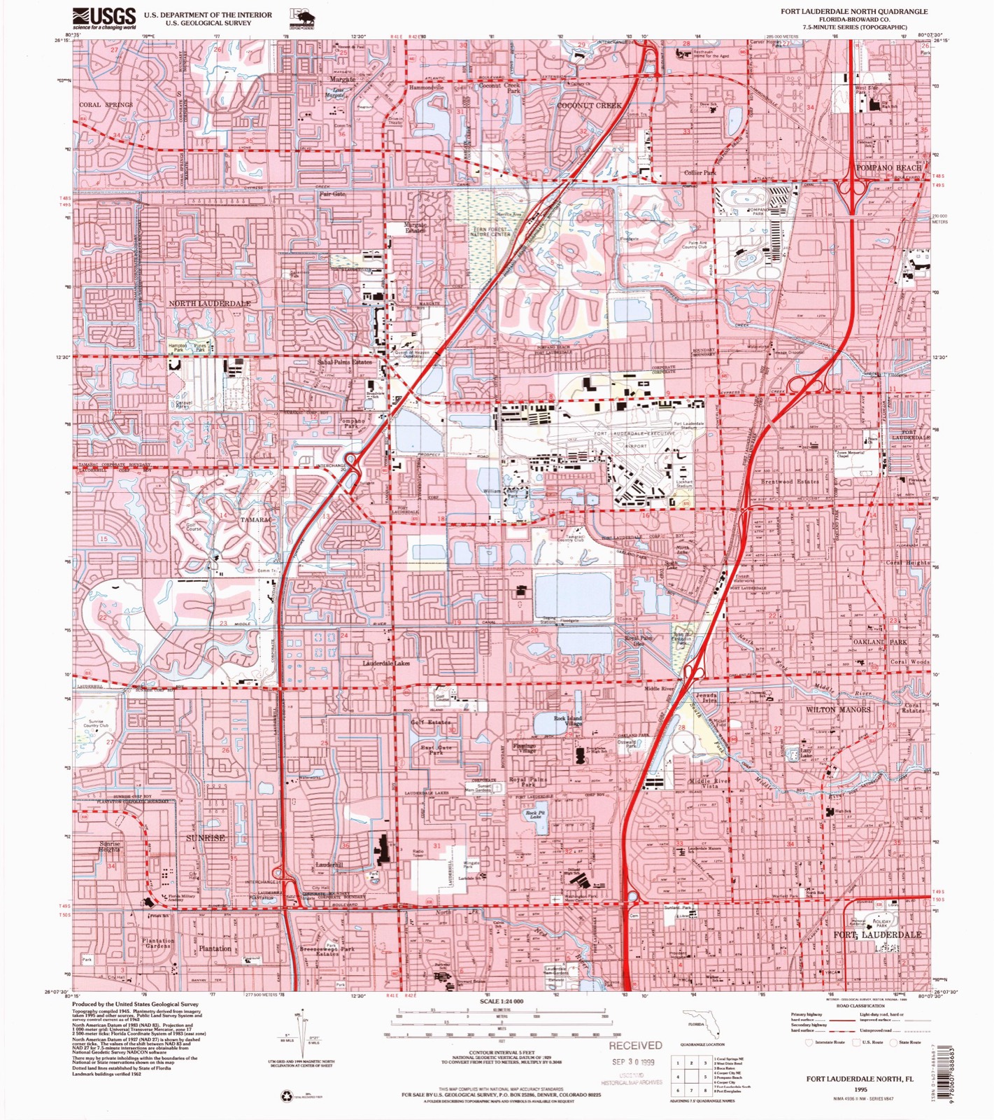
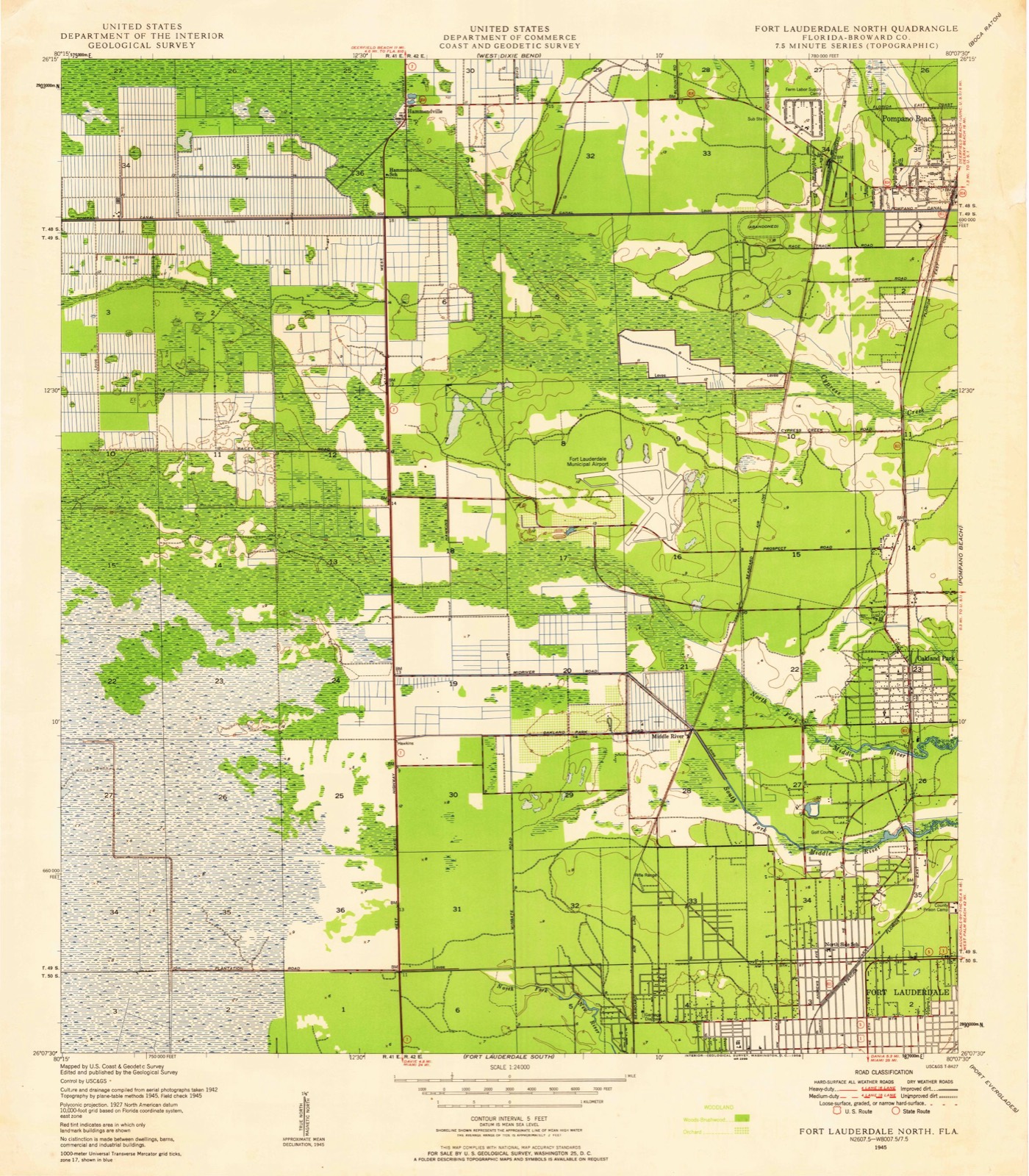
Compare 1945 against another survey:
On record in Oakland Park
Buildings and businesses the archive holds for this place. Each opens its own page, with the source record it came from.
On the National Register 2 records
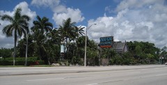 Mai-Kai Restaurantlisted 2014
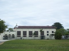 Oakland Park Elementary Schoollisted 1988
Population over time
2 figuresOakland Park grew from 41,363 to 44,229 between 2010 and 2020. These are the recorded population figures Wikidata holds for this place, reached through the Geographic Names Information System number this page is keyed on rather than by name, so they belong to this place and not to another of the same name. Most are census counts, but not all are: an early figure may be a founding or settlement estimate, and an estimate published within five years of a census is left out. The change column is computed, and is left blank where more than 20 years separate a figure from the one before it, because a gap that long is not a change between two counts.
| Year | People | Change |
|---|---|---|
| 2010 | 41,363 | |
| 2020 | 44,229 | +2,866 (+7%) |
Topographic sheets covering this place
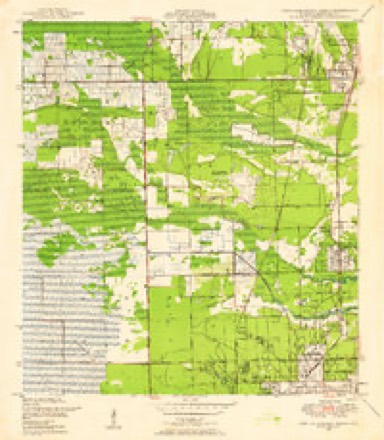
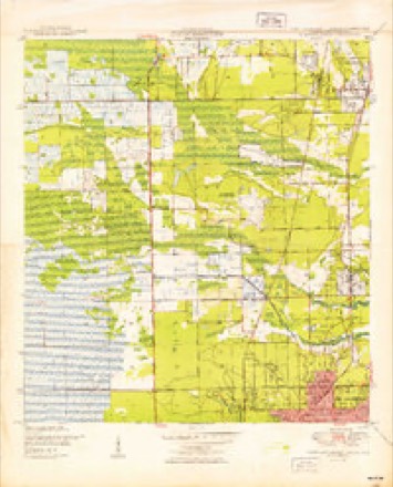
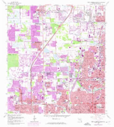
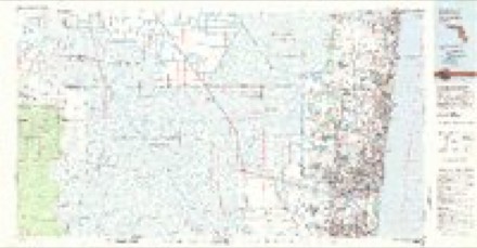
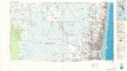
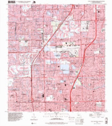
10 surveys from 18 printed sheetsMatched by testing this settlement's coordinate against the published boundary of every sheet in the United States Geological Survey's historical collection. Each opens the scanned sheet at the Survey.
- 1945 USGS Fort Lauderdale North quadrangle1:24000
- 1949 USGS Fort Lauderdale North quadrangle1:24000, 2 printings
- 1956 USGS West Palm Beach quadrangle1:250000, 2 printings
- 1957 USGS West Palm Beach quadrangle1:250000
- 1958 USGS West Palm Beach quadrangle1:250000, 2 printings
- 1962 USGS Fort Lauderdale North quadrangle1:24000, 4 printings
- 1981 USGS Fort Lauderdale quadrangle1:100000
- 1985 USGS Fort Lauderdale quadrangle1:100000, 2 printings
- 1987 USGS West Palm Beach quadrangle1:250000, 2 printings
- 1995 USGS Fort Lauderdale North quadrangle1:24000




Mines and quarries near this place
4 within 5 milesRegional context, not property-specific evidence. The federal mineral resources record lists 4 workings within 5 miles of Oakland Park: 3 past producers, 1 producer. 1 still produces. What was taken out: Stone, Crushed/Broken, Sand and Gravel, Construction. Distance is straight-line from the map coordinates, so a quarry counted here may appear on a neighbouring settlement's page as well.
| Where | Site | Commodity | Status | Recorded |
|---|---|---|---|---|
| Prospect Pit | Sand and Gravel, Construction | Producer | ||
| Decker Quarry | Stone, Crushed/Broken | Past Producer | ||
| Gateway Quarry | Stone, Crushed/Broken | Past Producer | ||
| Prospect Limestone Quarry | Stone, Crushed/Broken | Past Producer |
Storms near this place
16 since 1998Regional context, not property-specific evidence. The National Weather Service names Oakland Park in 16 storm reports between 1998 and 2025: 4 funnel cloud, 4 flood, 2 hail, 2 tornado. The reports record 1 injury. Each account below is quoted exactly as the forecast office filed it, from the NOAA Storm Events Database, and each date opens the federal record of that event.
| When | Event | Place named | Harm | What the report says |
|---|---|---|---|---|
| August 2014 | Lightning | Oakland Park | 1 hurt | A United States Postal Service worker sustained serious burns as lightning struck nearby his truck. The electricity traveled through the truck as he was touching it. The location was 1781 E. Commercial Blvd. near Oakland Park. |
| June 2007 | Heavy Rain | Oakland Park | $50,000 | Torrential rains from strong thunderstorms collapsed the roof of a gym at La Roca Church located at 3000 Prospect Road in Oakland Park. The roof collapsed at about 5 PM EDT. Fire Rescue personnel estimated that between 1500 to 2000 square feet of the roof fell.||The building was not occupied at the time. |
| February 2024 | Tornado (EFU) | Oakland Park | $40,000 | The broadcast media and public described, via social media posts and pictures, a tornado occurred within a residential neighborhood in the city of Oakland Park. There were pictures of flipped cars and damaged trees. Time, path length, and path width are estimated based on radar and satellite imagery. Due to an inability to survey the area, maximum wind speeds and EF rating are unknown. Damage amount is estimated. |
| July 1999 | Tornado (F0) | Oakland Park | $25,000 | no account filed |
| August 2004 | Thunderstorm Wind | Oakland Park | $10,000 | no account filed |
| October 2025 | Flood | Oakland Park | - | Wilton Manors police department reported on social media that multiple roads are experiencing flooding from heavy rainfall. |
| May 2022 | Flood | Oakland Park | - | WPLG-TV shared a video of a disabled vehicle near NE 6th Avenue in Oakland Park on a closed roadway covered with several inches of water. Measured rainfall amounts from the area were in the 2 to 3 inch range in under an hour. |
| June 2021 | Flood | Oakland Park | - | Local broadcast media reported street flooding in the Oakland Park area from todays repeated rounds of rainfall. Vehicles were having trouble clearing through the water. Nearby rain gauges and precipitation analyses indicate at least 3 inches of rain fell in the area. |
| October 2020 | Flood | Oakland Park | - | Photos via social media reported flooding of parking lot in Oakland Park with water several inches deep. |
| June 2015 | Funnel Cloud | Oakland Park | - | A funnel cloud was reported by the weather observer at Fort Lauderdale Executive Airport located about one mile to the southeast. The funnel began at 1036 AM EDT and dissipated at 1049 AM EDT. |
| June 2011 | Thunderstorm Wind | Oakland Park | - | A mesonet recorded a wind gust of 64 MPH. Power lines were downed in the area around Middle River Drive and NE 21 Street. |
| December 2005 | Funnel Cloud | Oakland Park | - | Funnel clouds were reported in eastern Broward County. These funnel clouds were associated with a line of showers extending from Oakland Park to Davie. The showers were moving slowly east. No reports of funnel clouds touching down were received. |
| September 2002 | Funnel Cloud | Oakland Park | - | A SKYWARN spotter sighted a funnel cloud. |
| March 2001 | Hail | Oakland Park | - | Nickel-size hail was observed. |
| September 1998 | Funnel Cloud | Oakland Park | - | Funnel cloud sighted near I-95 and Oakland Park Blvd. |
| July 1999 | Hail | Oakland Park | - | no account filed |
Nearest settlements
The eight closest, with where each one stands in the county. Distances are straight-line, computed from the Geographic Names Information System coordinates.
| Map | Place | Distance | Sheets |
|---|---|---|---|
| Coral Woods | 0.4 miles | 18 | |
| Coral Heights | 0.5 miles | 18 | |
| Coral Estates | 0.8 miles | 18 | |
| North Andrew Gardens | 0.8 miles | 18 | |
| Wilton Manors | 0.9 miles | 18 | |
| Lloyds Estates | 0.9 miles | 18 | |
| Middle River Manor | 1.2 miles | 17 | |
| Coral Hills | 1.2 miles | 17 |
Elsewhere
Matched on this settlement's Geographic Names Information System number rather than its name, so it cannot be a different place of the same name in another state.
| Wikipedia article on Oakland Park | An encyclopaedic summary. Its text is share-alike, so it is linked here rather than copied. |
| Wikidata item Q985183 | The structured record the population and elevation above come from. Public domain (CC0). |
Provenance
This settlement is recorded in the Geographic Names Information System as feature 288013. The sheet list is computed by point-in-boundary test against the United States Geological Survey's historical topographic inventory. Both are works of the United States government and carry no copyright under 17 U.S.C. 105.
Mines and quarries. USGS Mineral Resources Data System (MRDS) https://mrdata.usgs.gov/mrds/ A work of the United States government, no copyright under 17 U.S.C. 105.
Storms. NOAA National Centers for Environmental Information, Storm Events Database https://www.ncei.noaa.gov/stormevents/ A work of the United States government, no copyright under 17 U.S.C. 105. Narratives are quoted verbatim from the National Weather Service report and are not edited or summarised.