 Block
BlockOslo, Florida
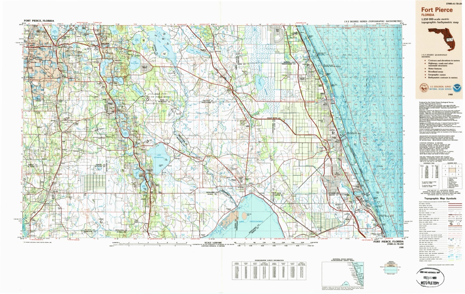
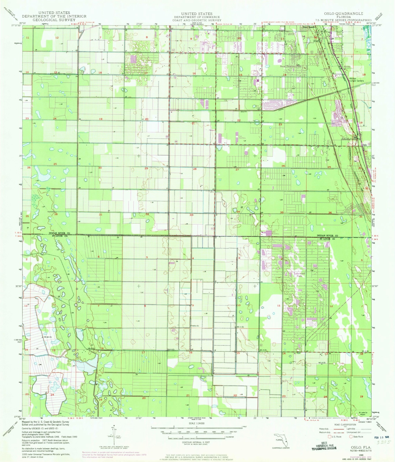
16 topographic sheets cover this place, the earliest surveyed in 1949 and the latest in 1988. It stands in the Vero Beach census division. It lies in ZIP code area 32962. It lies near Shell Island. The Survey maps it on the Oslo quadrangle.
Then and now
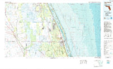
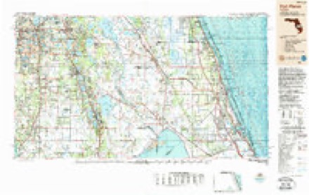
1949 to 1988The same ground, surveyed 39 years apart. Drag the handle to wipe between them. Both sheets are United States Geological Survey originals; neither has been altered.
Topographic sheets covering this place
8 surveys from 16 printed sheetsMatched by testing this settlement's coordinate against the published boundary of every sheet in the United States Geological Survey's historical collection. Each opens the scanned sheet at the Survey.
- 1949 USGS Oslo quadrangle1:24000, 3 printings
- 1950 USGS Oslo quadrangle1:24000, 2 printings
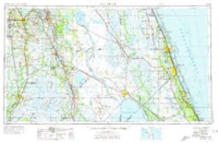
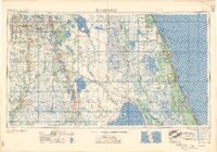
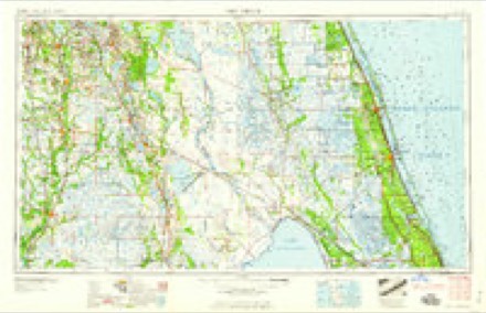
- 1956 USGS Fort Pierce quadrangle1:250000, 4 printings
- 1958 USGS Fort Pierce quadrangle1:250000
- 1959 USGS Fort Pierce quadrangle1:250000, 3 printings
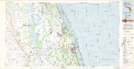
- 1981 USGS Vero Beach quadrangle1:100000
- 1985 USGS Vero Beach quadrangle1:100000
- 1988 USGS Fort Pierce quadrangle1:250000
Fires near this place
258 since 1992Regional context, not property-specific evidence. The federal wildfire occurrence database lists 258 fires within 5 miles of Oslo between 1992 and 2020, burning about 2,310 acres in total. 40 started naturally. 32 were recorded as arson. Distance is straight-line from the map coordinates, so a fire counted here may appear on a neighbouring settlement's page as well.
| Reported cause | Fires |
|---|---|
| Railroad operations and maintenance | 49 |
| Misuse of fire by a minor | 44 |
| Missing data/not specified/undetermined | 44 |
| Natural | 40 |
| Arson/incendiarism | 32 |
| Equipment and vehicle use | 17 |
| Recreation and ceremony | 14 |
| Debris and open burning | 12 |
| Power generation/transmission/distribution | 4 |
| Smoking | 2 |
The most recent of them, most recent first, with the day each was reported and the service that recorded it.
| Date | Cause | Size | Reported by | Name on the report |
|---|---|---|---|---|
| 5 September 2016 | Natural | 1.0 acres | Florida Forest Service | MILLSTONE (31) |
| 2 September 2013 | Natural | under an acre | Florida Forest Service | LION (56) |
| 2 September 2013 | Natural | under an acre | Florida Forest Service | EMERSON (56) |
| 2 September 2012 | Missing data/not specified/undetermined | 1.5 acres | Florida Forest Service | FIRST STREET (31) |
| 12 September 1997 | Railroad operations and maintenance | 30 acres | Florida Forest Service | not named |
| 11 September 1997 | Arson/incendiarism | 9.0 acres | Florida Forest Service | not named |
| 11 September 1997 | Equipment and vehicle use | 25 acres | Florida Forest Service | not named |
| 8 August 1999 | Natural | under an acre | Florida Forest Service | not named |
Settlements close enough to share some of these fires:
Mines and quarries near this place
3 within 5 milesRegional context, not property-specific evidence. The federal mineral resources record lists 3 workings within 5 miles of Oslo: 2 producers, 1 past producer. 2 still produce. What was taken out: Sand, Titanium, Zirconium, Titanium-Heavy Minerals. Distance is straight-line from the map coordinates, so a quarry counted here may appear on a neighbouring settlement's page as well.
| Where | Site | Commodity | Status | Recorded |
|---|---|---|---|---|
| Frank Stewert Trucking - Tozour Road Mine | Sand | Producer | ||
| Riz Mineral Co. Mine | Titanium, Zirconium | Past Producer | ||
| Vero Beach Placer | Titanium-Heavy Minerals | Producer | Kyanite, Zircon, Rutile, Leucoxene, Ilmenite |
Storms near this place
8 since 2013Regional context, not property-specific evidence. The National Weather Service names Oslo in 8 storm reports between 2013 and 2024: 4 tornado, 3 thunderstorm wind, 1 funnel cloud. No death or injury is recorded in these reports. Each account below is quoted exactly as the forecast office filed it, from the NOAA Storm Events Database, and each date opens the federal record of that event.
| When | Event | Place named | Harm | What the report says |
|---|---|---|---|---|
| October 2024 | Tornado (EF2) | Oslo | $39,000,000 | This tornado is a continuation of the unusually strong tornado that impacted St. Lucie County. The tornado moved out of the Spanish Lakes Subdivision in St. Lucie County where it then entered the Vero Beach Highlands neighborhood in Indian River County, where multiple properties suffered roof and outbuilding damage, and healthy hardwood trees either were toppled or snapped. This damage paralleled a few blocks within 6th Ave SW. Farther north along US-1 in the Oslo area, a Publix suffered broken windows. Roof AC units were dislodged and fell to the ground, and a car was flipped over. This damage is consistent with EF-1 winds of 90 - 110 mph. ||After crossing the Indian River, additional damage occurred on the barrier island of Vero Beach, mainly near and west of A1A between Bay Dr and Jaycee Park. Significant damage occurred at the Bayou condominiums, where sections of the roof were torn off both the east and west buildings and thrown northward into a neighboring tree line. A pontoon boat was lifted out of the water and landed upside down on the sea wall. Winds in this small area were likely 115 - 125 mph, or EF-2 strength. Wind magnitudes may have been accentuated by proximity to open water. ||North from there, missing shingles or roof tiles were noted on several homes and businesses, consistent with either EF-0 or EF-1 winds. Many large tree branches were broken. In the Bethel Creek neighborhood, multiple homes suffered major roof loss (greater than 50%) and pool cages were destroyed. A low-rise multi-family building also lost over 20% of its roof. The Bethel Creek area damage was EF-2 with winds of 115 - 125 mph. The tornado then continued into a wooded area along the beach, snapping or toppling many trees before moving offshore into the Atlantic Ocean near Jaycee Park where it likely became a waterspout. |
| May 2016 | Tornado (EF1) | Oslo | $395,000 | The tornado produced a short damage path impacting homes along a track encompassing about three blocks. The tornado traveled in a southward direction. Two homes sustained major damage with a significant portion of their roofs damaged. Sixteen other homes experienced minor damage to roofs, soffits and pool screen enclosures. Several trees were snapped and at least two trees were uprooted. The tornado was rated EF1, with estimated maximum winds of 80-90 mph. Estimated loss $395,000. DI2, DOD4, LB-EXP. |
| October 2022 | Tornado (EF0) | Oslo | $142,240 | A National Weather Service Melbourne damage survey confirms that a brief EF-0 tornado touched down in the Midway Estates mobile home community in Vero Beach. The tornado continued to the east-southeast for approximately 4 minutes along a 0.5 mile long track until it dissipated as it crossed into the Vero Shores residential community. The tornado had a maximum width of approximately 100 yards and peak winds estimated between 75-85 mph. Damage was first noted near the entrance to the Midway Estates community when the tornado touched down at approximately 541 PM |EST near the intersection of Douglas and Debra Lanes. Indian River Emergency Management documented 16 homes with at least some damage, with more substantial damage noted toward the southeast corner of the community. Most of these homes suffered at least some damage to their metal roofs, awnings, siding, and skirting. |Several carport and porch awnings were torn away from homes and lofted into neighboring yards, and about portion of one home's roof was lost into the neighboring woods. ||The tornado continued into the Vero Shores residential community where damage was noted to large oak trees and several boat lift awnings. Notably, a carport overhang from a home in neighboring Midway Estates landed in a resident's driveway at the corner of 5th Ct SE. The tornado lifted at approximately 545 PM EST near the|intersection of 5th Ct SE and 22nd St SE.||Per Indian River County EM, eight residential manufactured homes sustained Major damage, nine residential homes sustained Minor damage, and three residential homes were Affected. No residential manufactured homes were destroyed. |
| October 2024 | Tornado (EF0) | Oslo | $100,000 | This event is a continuation of a tornado that produced EF-1 type damage in St. Lucie County where it initially touched down very near Indrio Rd. The tornado crossed the county line near the Spanish Lakes subdivision near MM140 along Interstate 95. The circulation continued into a portion of Indian River County where it produced mainly EF-0 vegetative damage on local farmland. Little structural damage was noted. |
| October 2022 | Thunderstorm Wind | Oslo | $3,250 | Storm survey confirmed minor straight-line wind damage from a severe thunderstorm in a residential community adjacent to the Indian River Golf Club, centered near the intersection of 19th PL SW and 8th Ave SW in Vero Beach. The survey noted two uprooted trees, as well as damage to street signs and fencing. Peak winds estimated. |
| June 2023 | Thunderstorm Wind | Oslo | $250 | Received pictures via social media of one or two large tree branches down in the front yard of a home near the intersection of 14th St SW and 23rd Ave SW in Vero Beach Highlands. |
| May 2016 | Funnel Cloud | Oslo | - | A West Palm Beach TV station relayed a public report of a funnel cloud associated with a strong thunderstorm near Vero Beach. Video of the funnel cloud was also obtained. |
| September 2013 | Thunderstorm Wind | Oslo | - | Thunderstorm winds damaged at least 2 homes on 5th Place SW and 5th Street SW in Vero Beach. A porch was damaged on one home and a nearby resident sustained damage to an above ground pool and a fence. Tree branches and shrubs were also downed throughout the 3 block area. |
Nearest settlements
The eight closest, with where each one stands in the county. Distances are straight-line, computed from the Geographic Names Information System coordinates.
| Map | Place | Distance | Sheets |
|---|---|---|---|
| Florida Ridge | 0.6 miles | 16 | |
| Nevins | 1.7 miles | 16 | |
| South Beach | 1.9 miles | 16 | |
| Poinciana Park | 2.0 miles | 16 | |
| Royal Poinciana Park | 2.1 miles | 16 | |
| Vero Beach | 3.7 miles | 19 | |
| Riomar | 4.2 miles | 16 | |
| Gifford | 6.3 miles | 19 |
Elsewhere
Matched on this settlement's Geographic Names Information System number rather than its name, so it cannot be a different place of the same name in another state.
| Wikipedia article on Oslo | An encyclopaedic summary. Its text is share-alike, so it is linked here rather than copied. |
| Wikidata item Q1794768 | The structured record the population and elevation above come from. Public domain (CC0). |
Provenance
This settlement is recorded in the Geographic Names Information System as feature 295511. The sheet list is computed by point-in-boundary test against the United States Geological Survey's historical topographic inventory. Both are works of the United States government and carry no copyright under 17 U.S.C. 105.
Wildfire. Short, Karen C. 2022. Spatial wildfire occurrence data for the United States, 1992-2020 [FPA_FOD_20221014]. 6th Edition. Fort Collins, CO: Forest Service Research Data Archive. https://doi.org/10.2737/RDS-2013-0009.6 Collected with United States Government funding and usable without additional permissions or fees.
Mines and quarries. USGS Mineral Resources Data System (MRDS) https://mrdata.usgs.gov/mrds/ A work of the United States government, no copyright under 17 U.S.C. 105.
Storms. NOAA National Centers for Environmental Information, Storm Events Database https://www.ncei.noaa.gov/stormevents/ A work of the United States government, no copyright under 17 U.S.C. 105. Narratives are quoted verbatim from the National Weather Service report and are not edited or summarised.