Block
BlockFrom the record
31 National Register listings published here, 1 of them a National Historic Landmark.
Sources: the National Register database, National Park Service
54 topographic sheets cover 23 settlements here, and 31 properties are on the National Register of Historic Places.
31 National Register listings published here, 1 of them a National Historic Landmark.
Sources: the National Register database, National Park Service
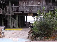
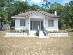
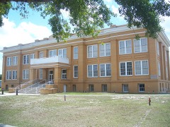
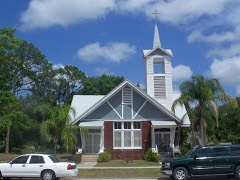
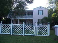
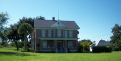
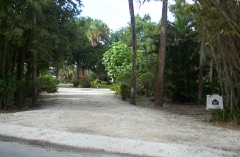
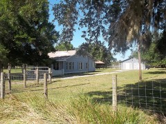
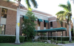
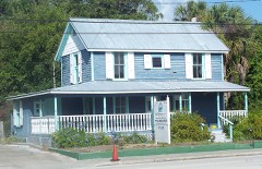
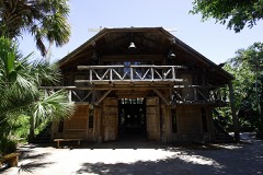
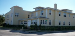
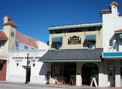
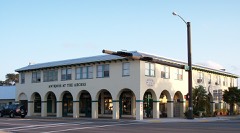
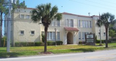
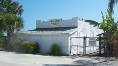
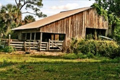
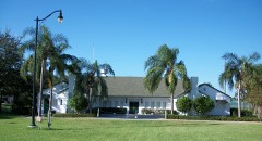
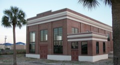
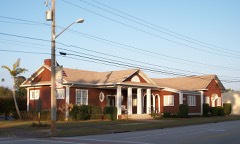
Every property in this county listed on the National Register of Historic Places, with the year it was listed and the federal nomination document.
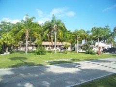
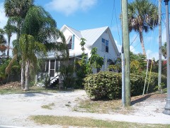
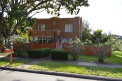
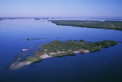
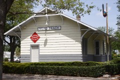
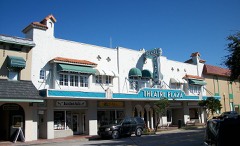
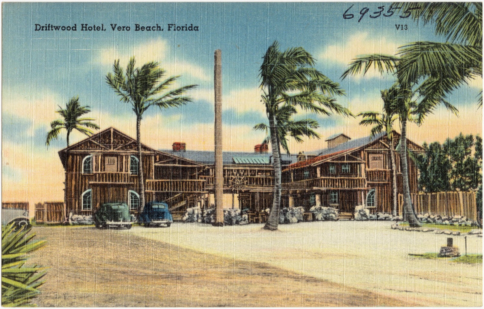
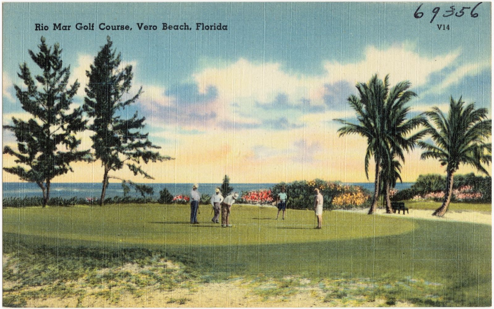
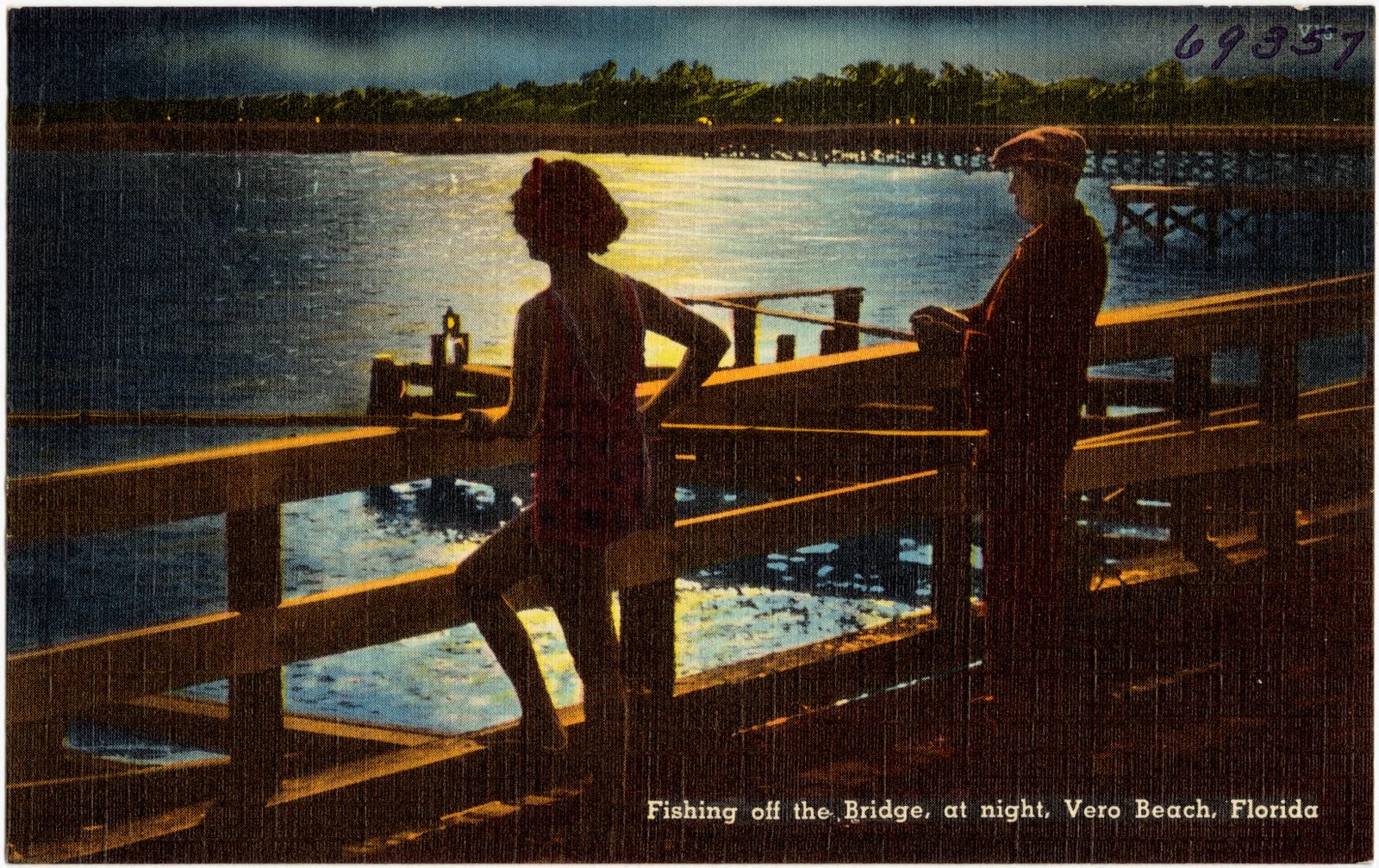
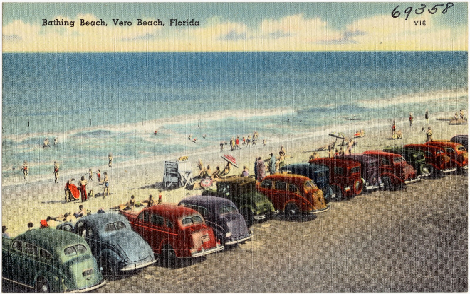
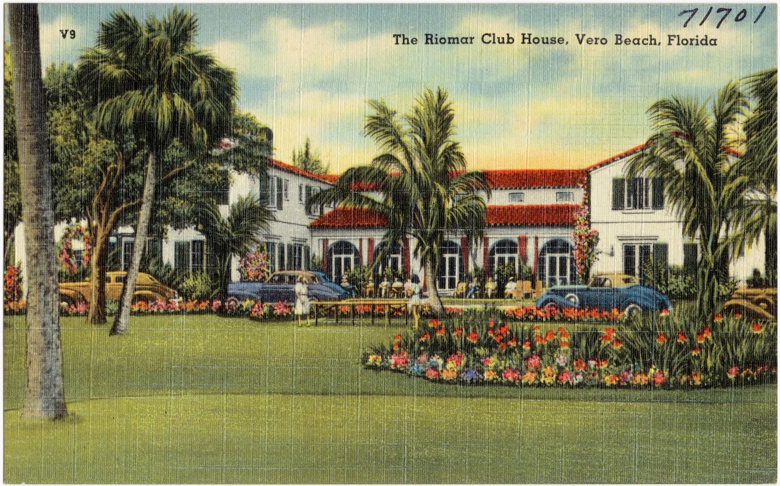
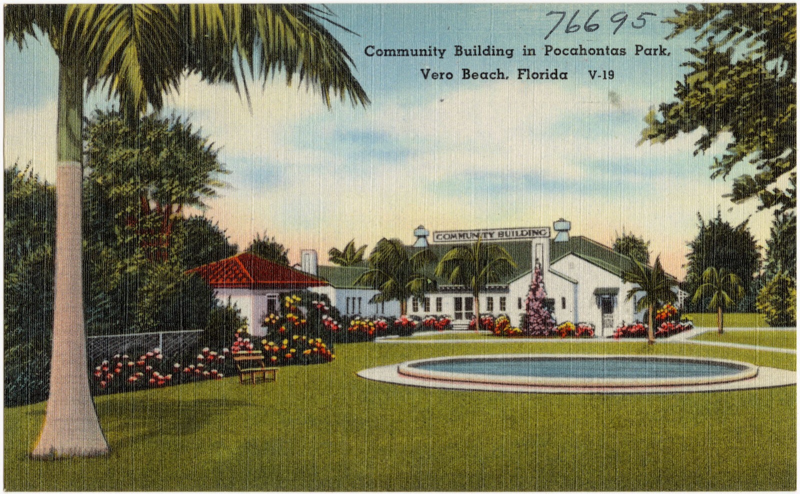
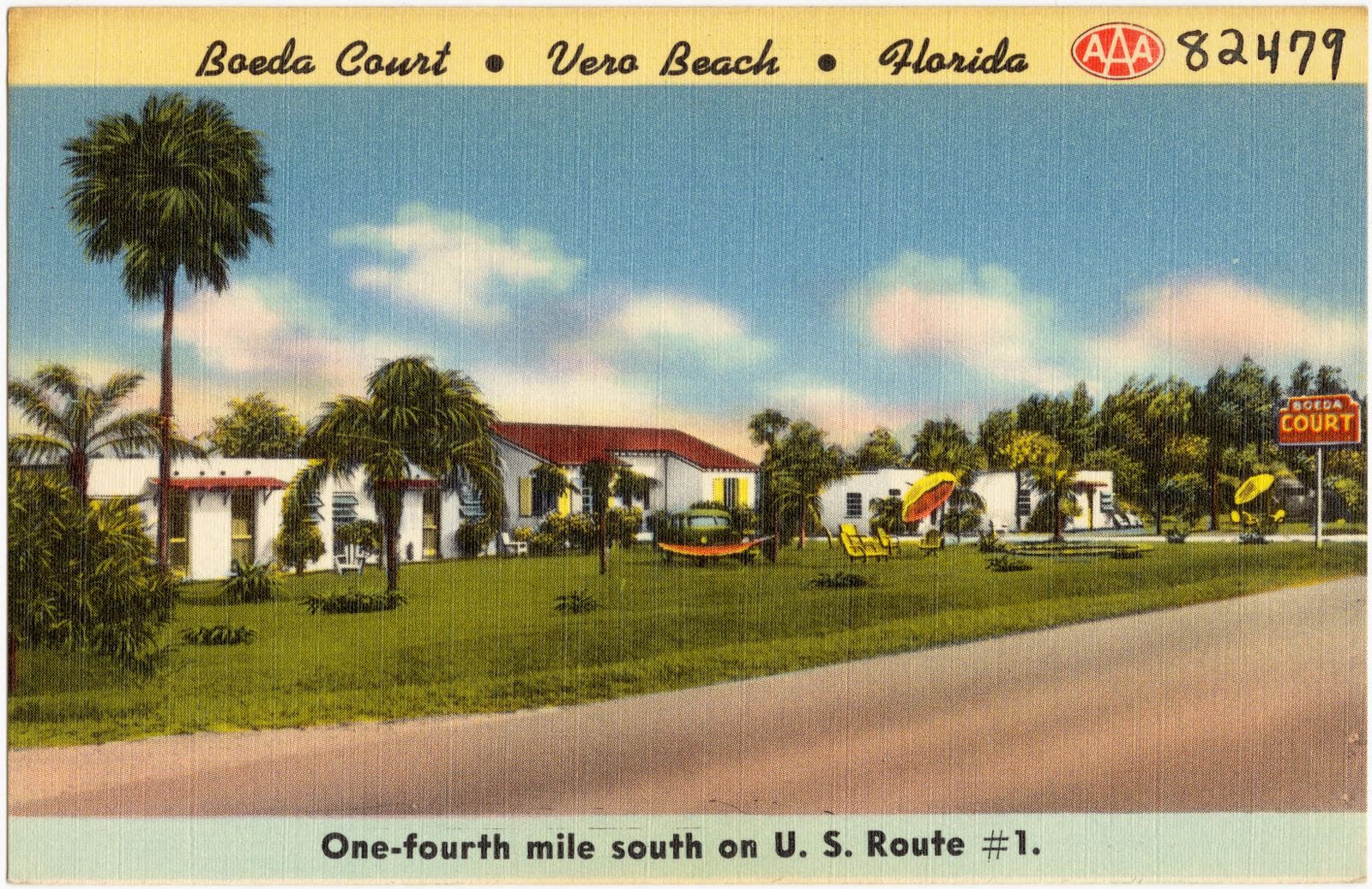
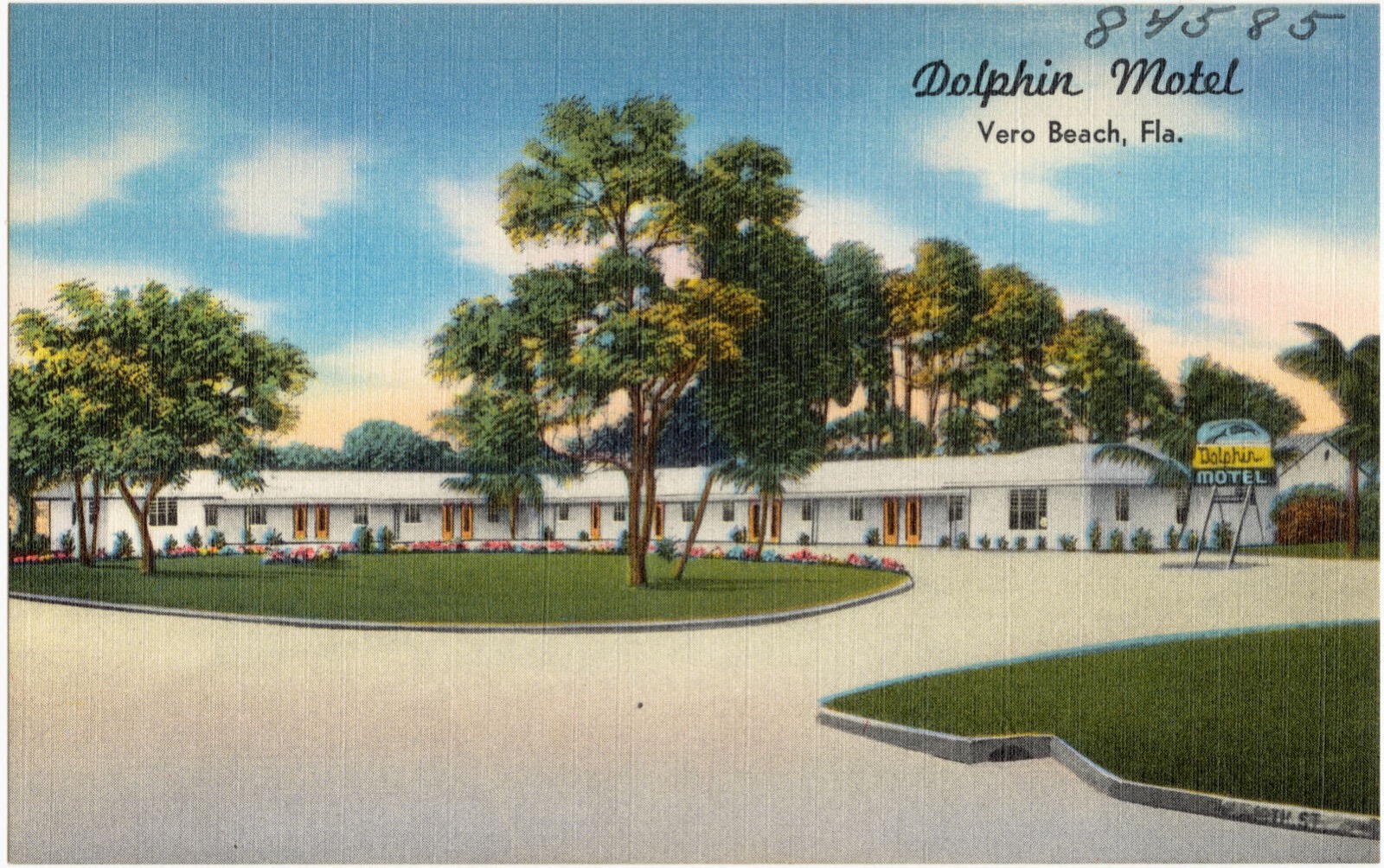
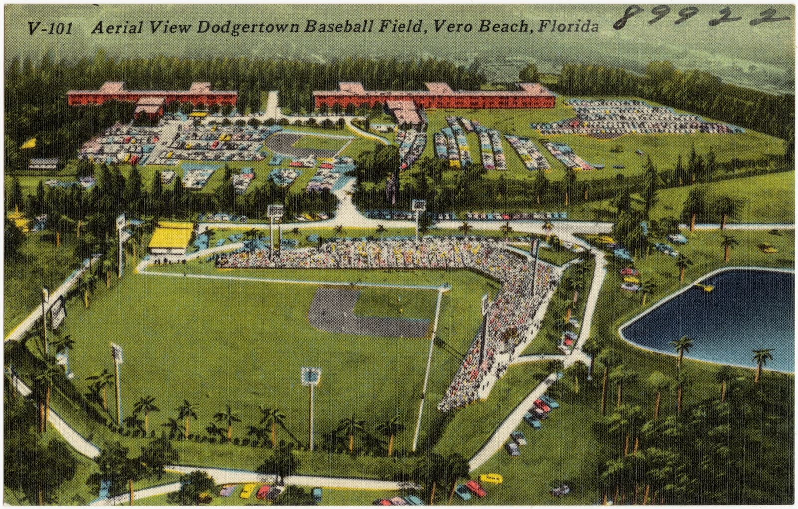
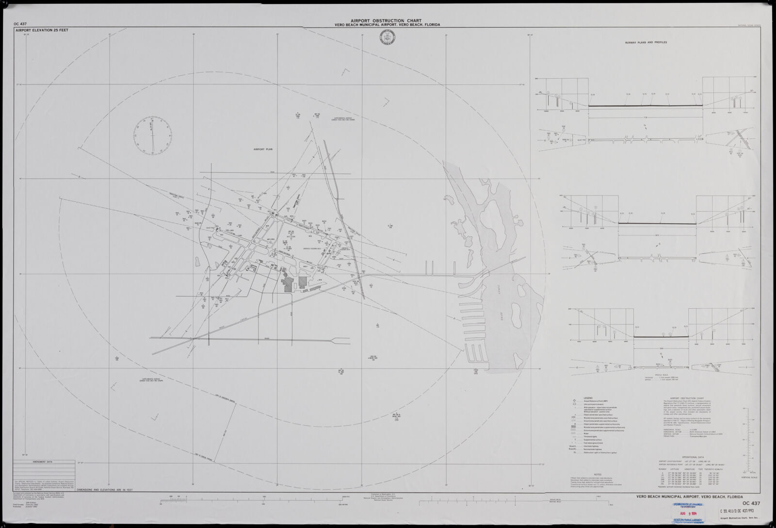
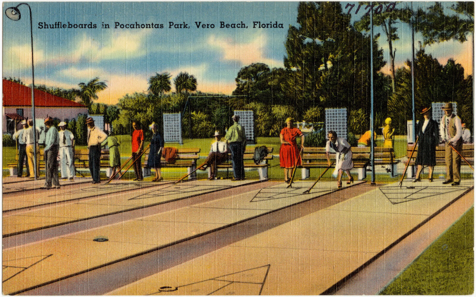
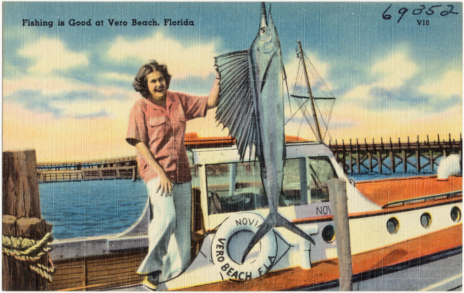
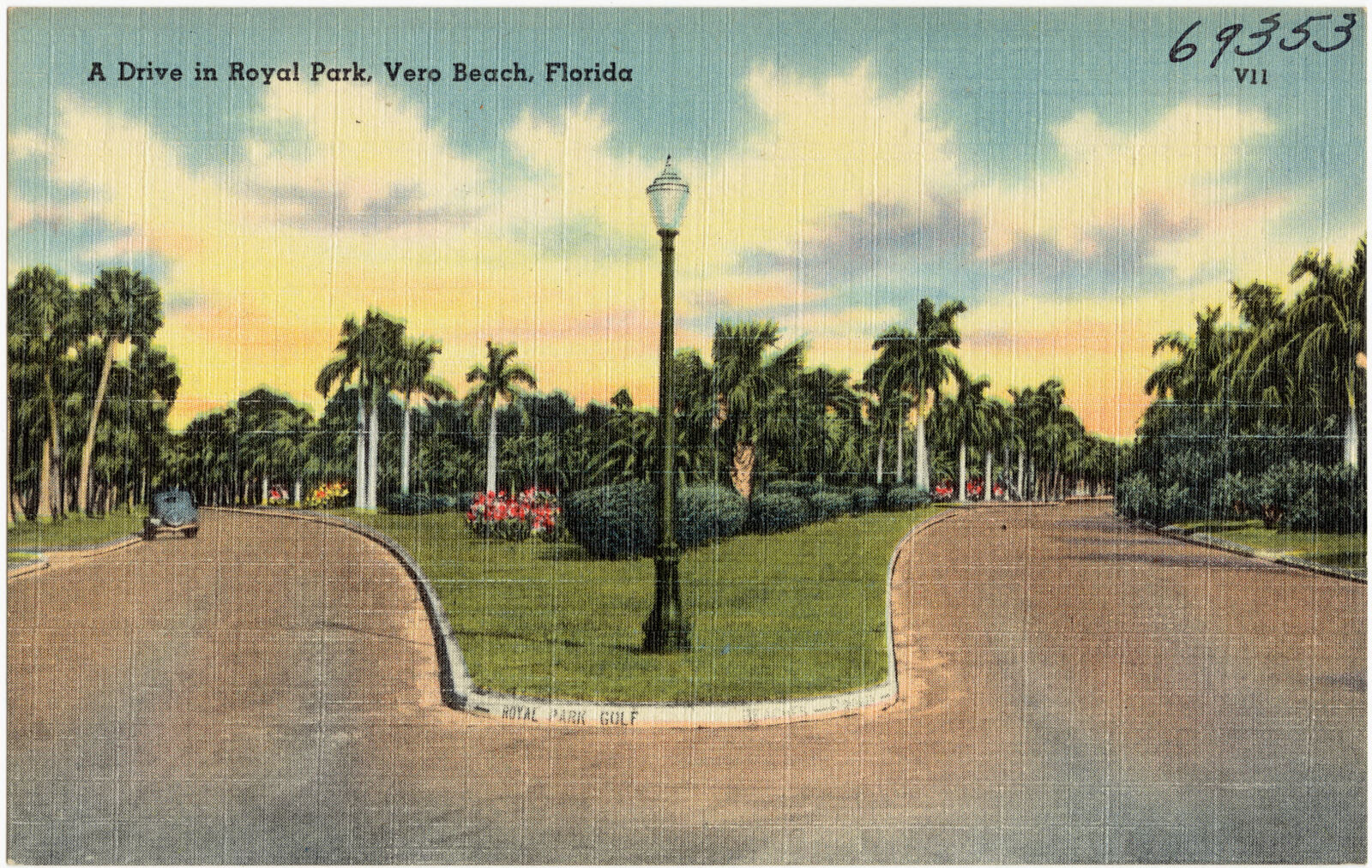
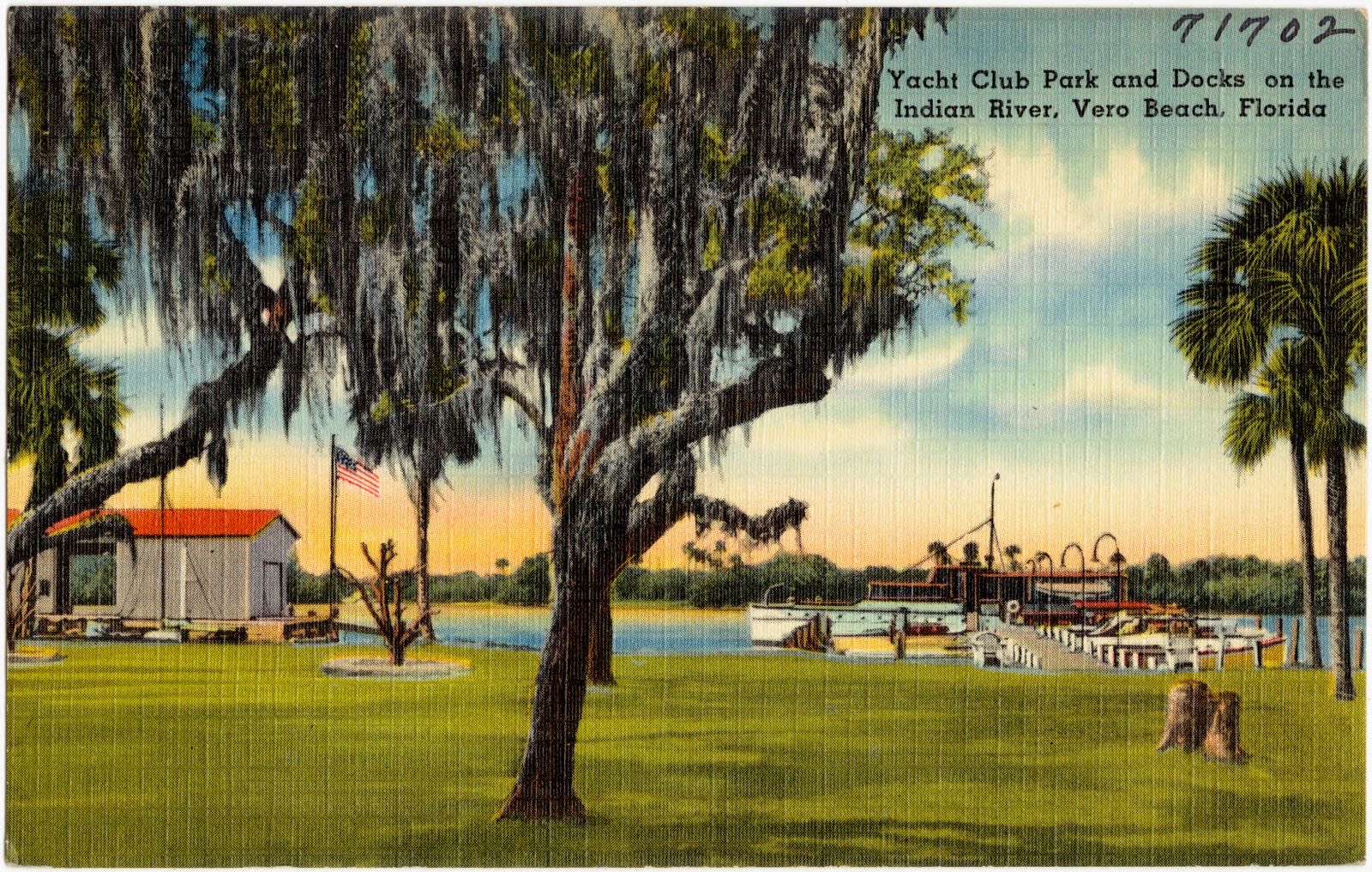
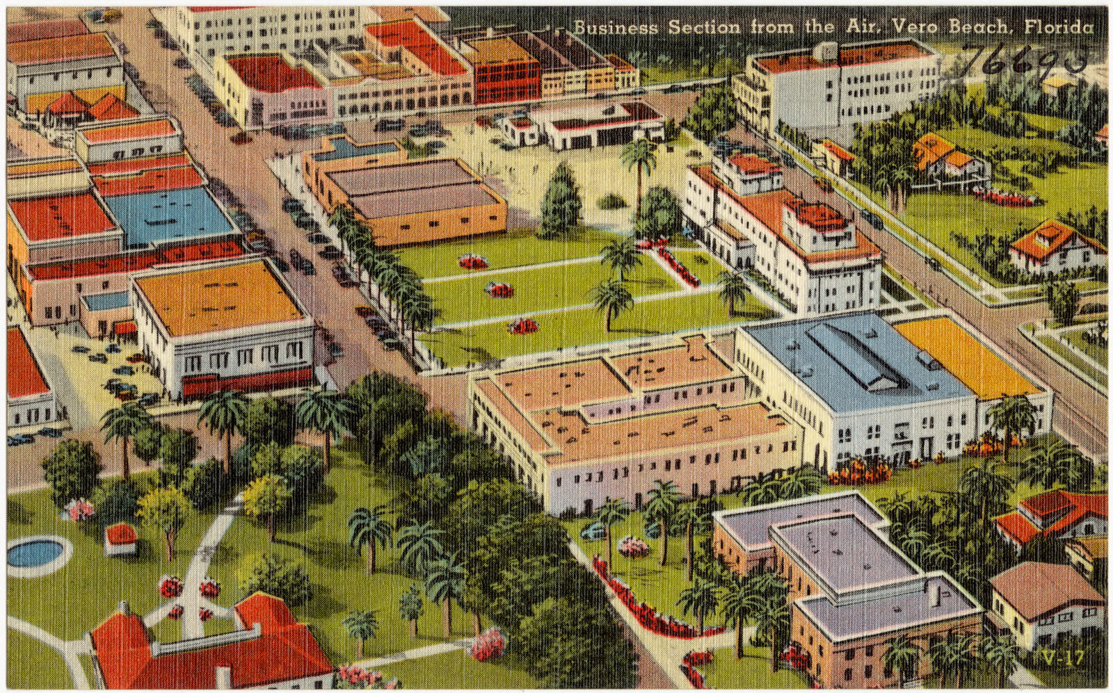
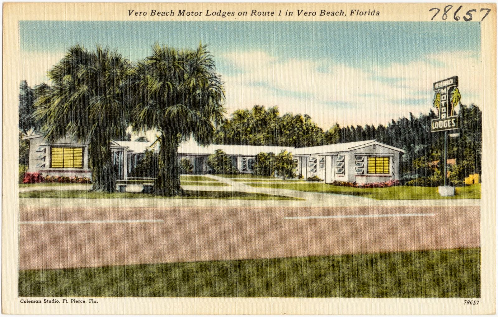
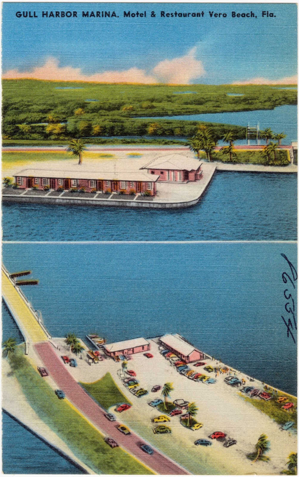
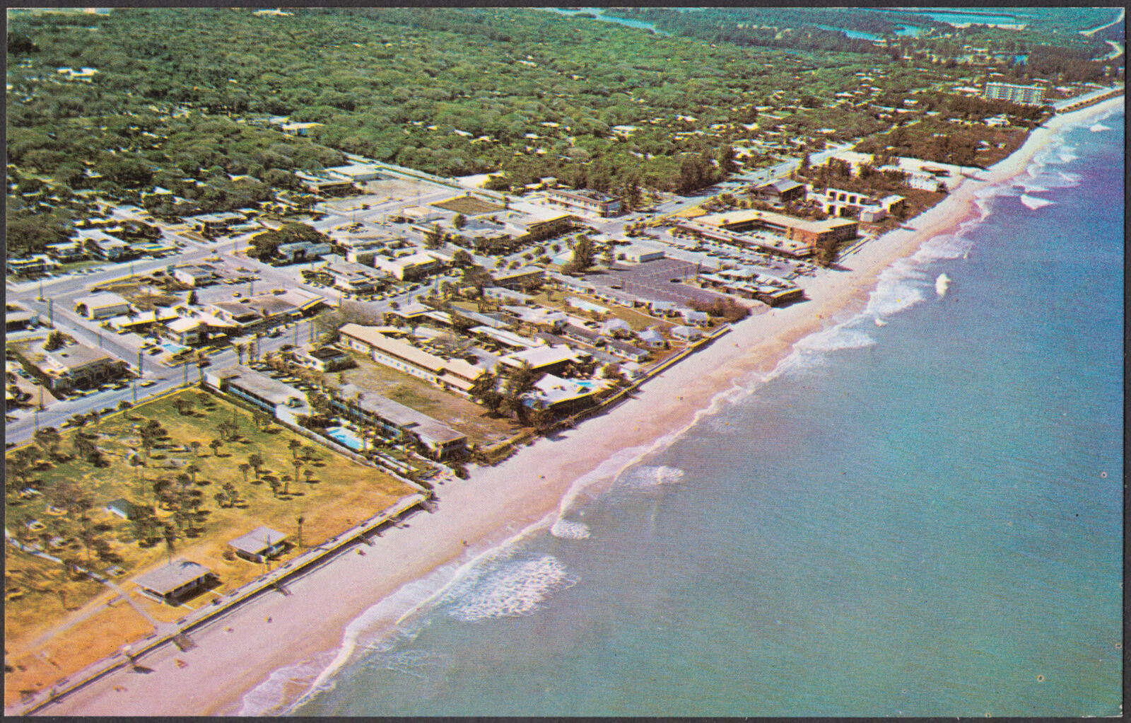
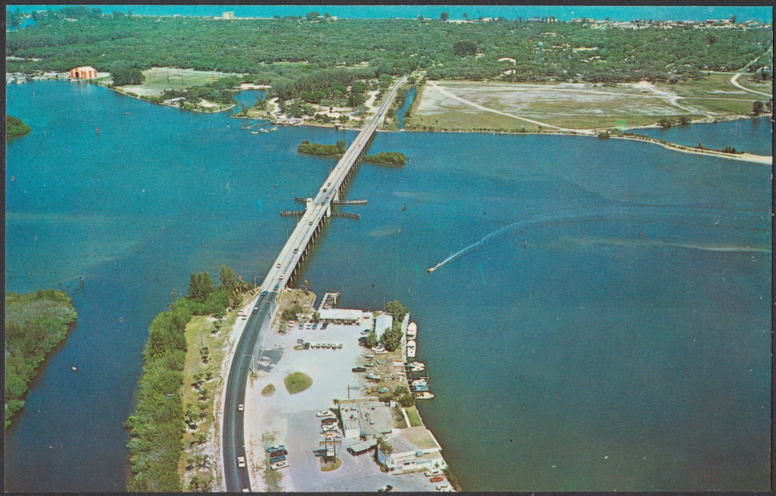
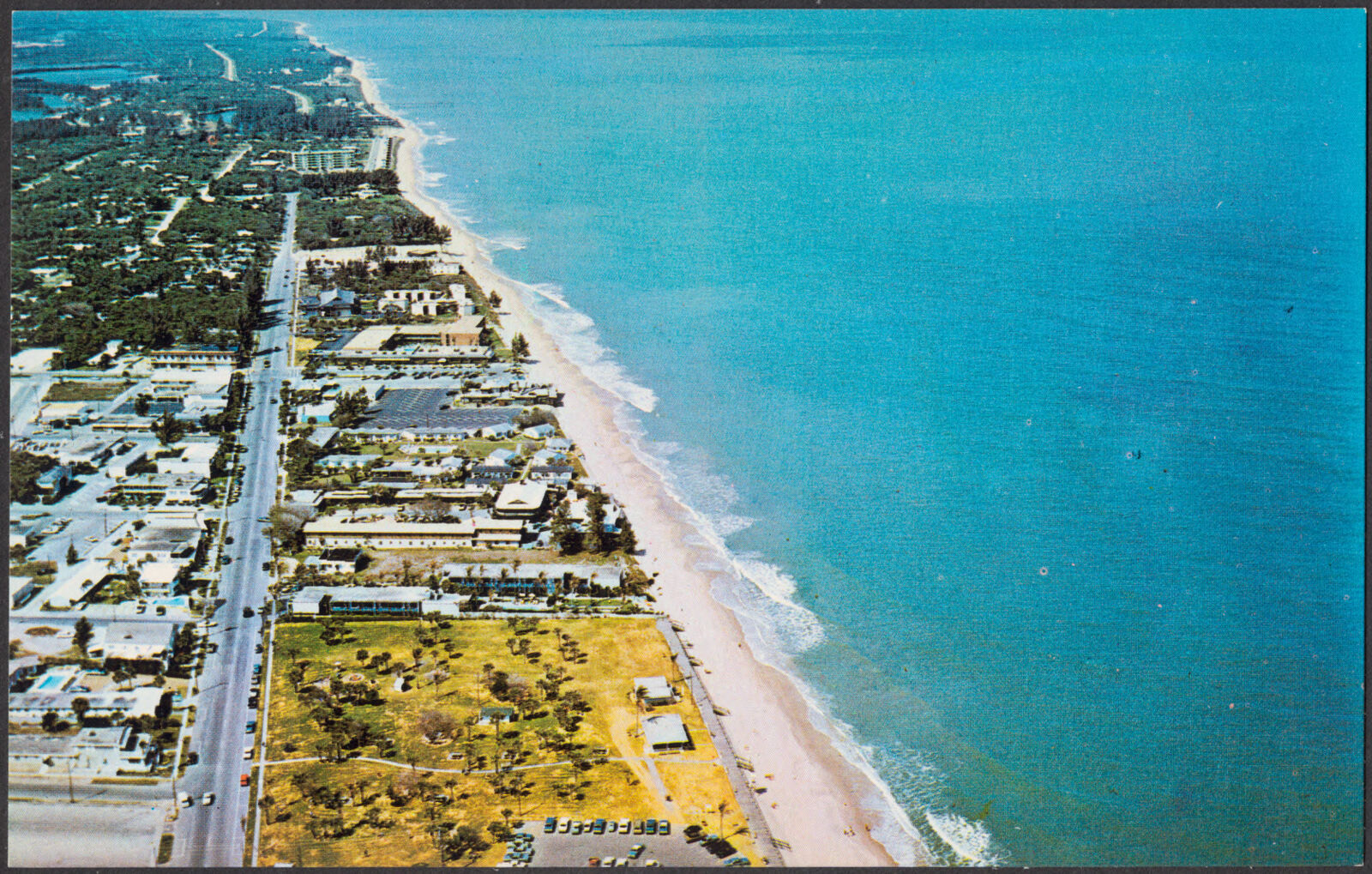
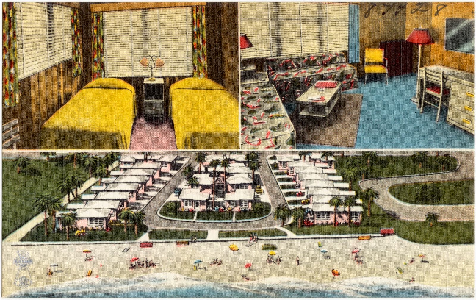
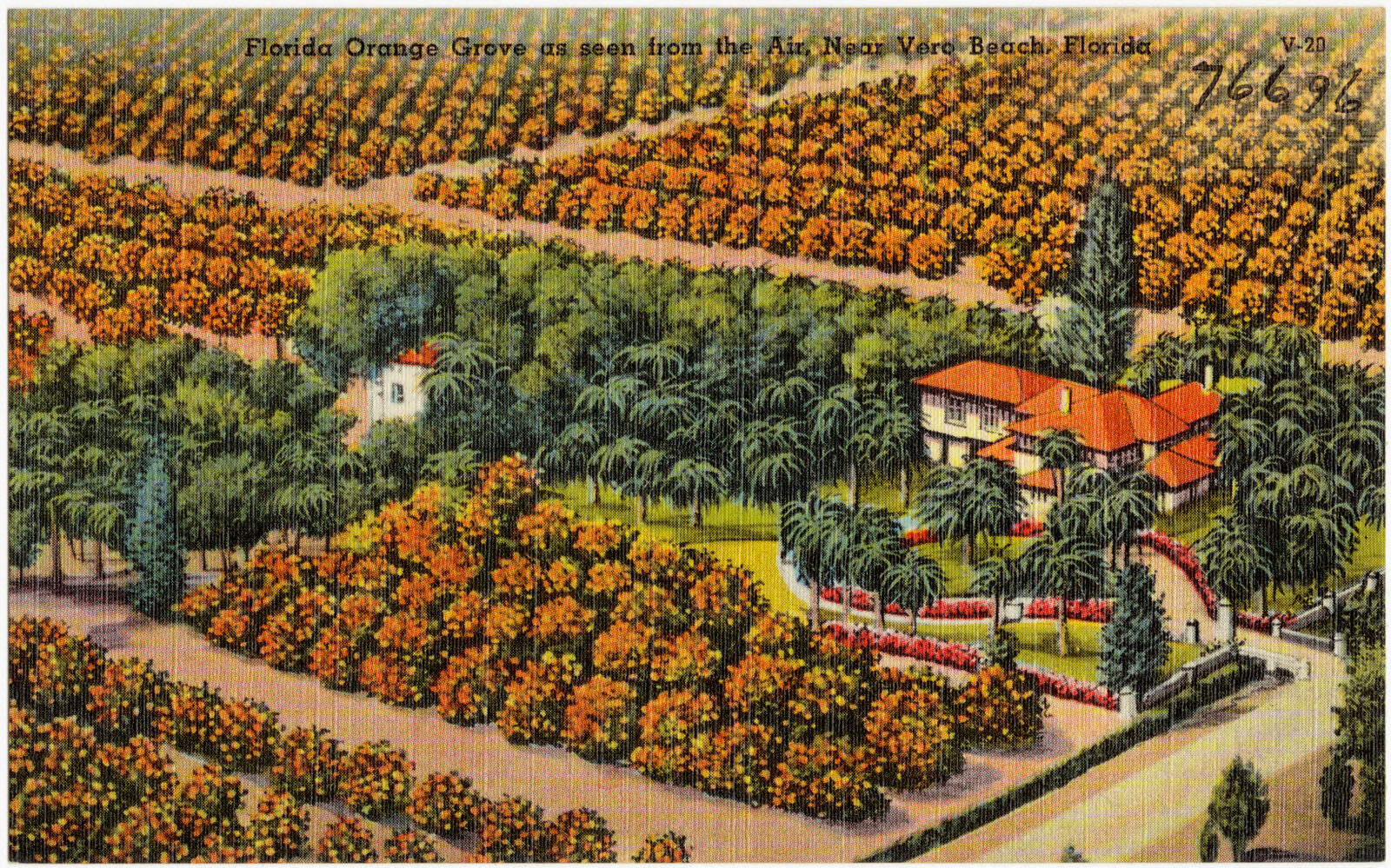
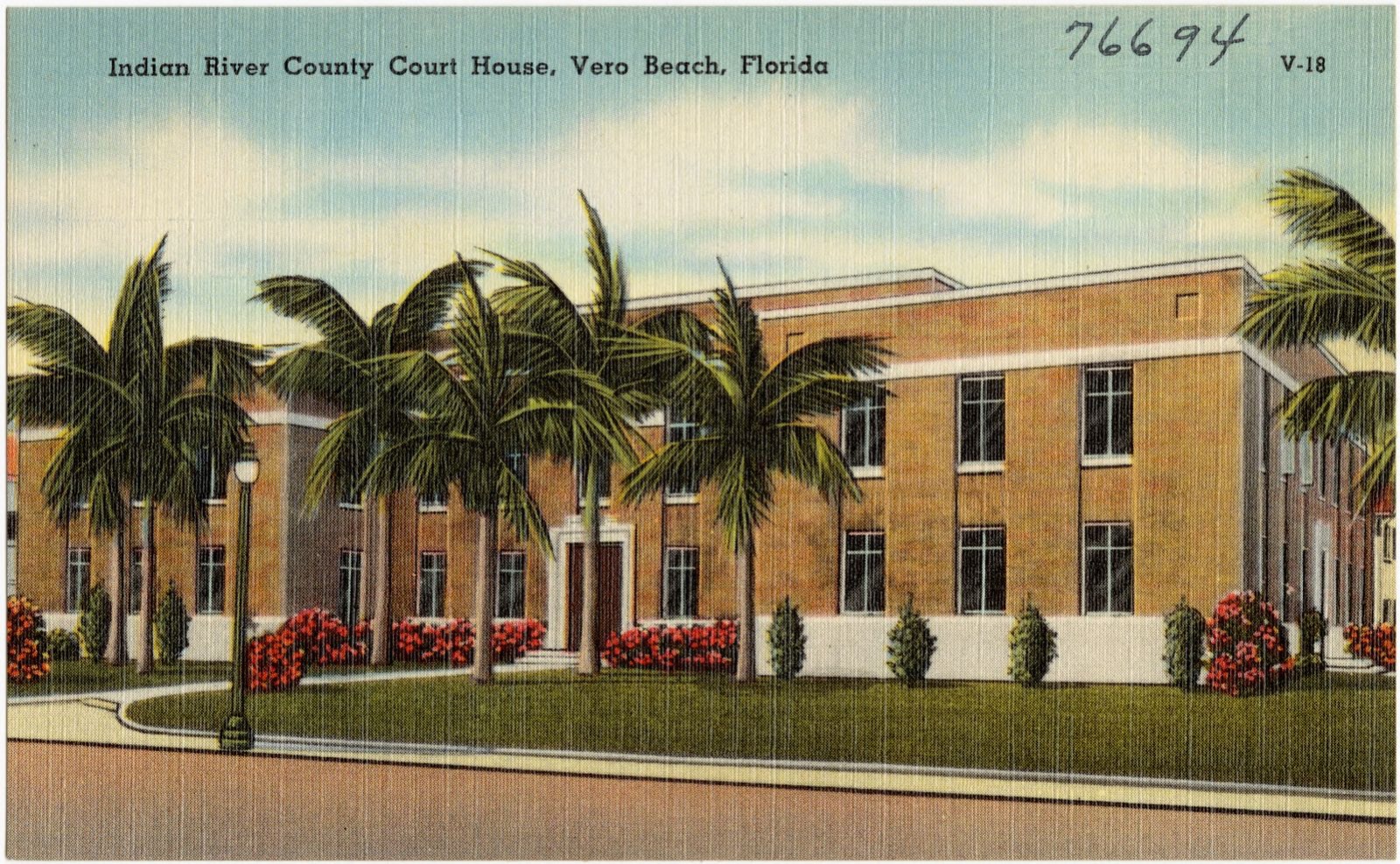
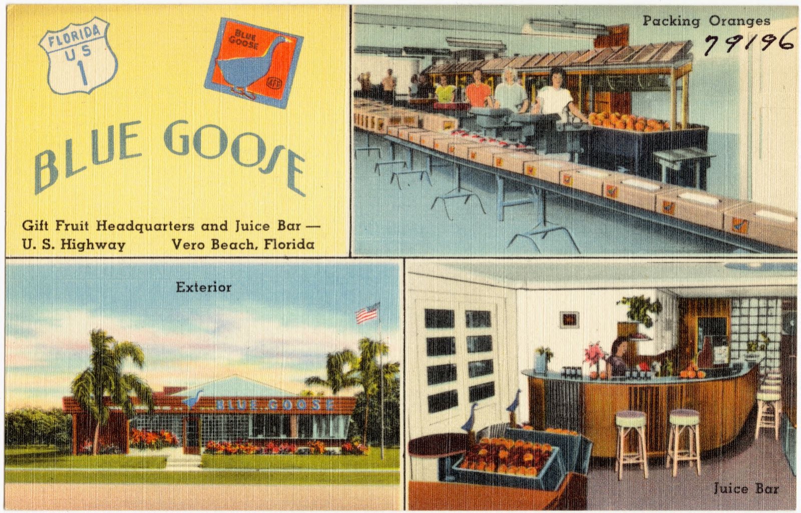
Selected from the Digital Public Library of America's 30 image records catalogued for this county. Every one shown here carries a public-domain status or a licence that permits reuse on a site that carries advertising; non-commercial, share-alike and restricted images are excluded. The selection is spread across the county's towns (at most eight per town), so no single institution's bulk upload crowds out the rest. Each opens the holding library's record, and the complete set at the Digital Public Library of America is one click away.
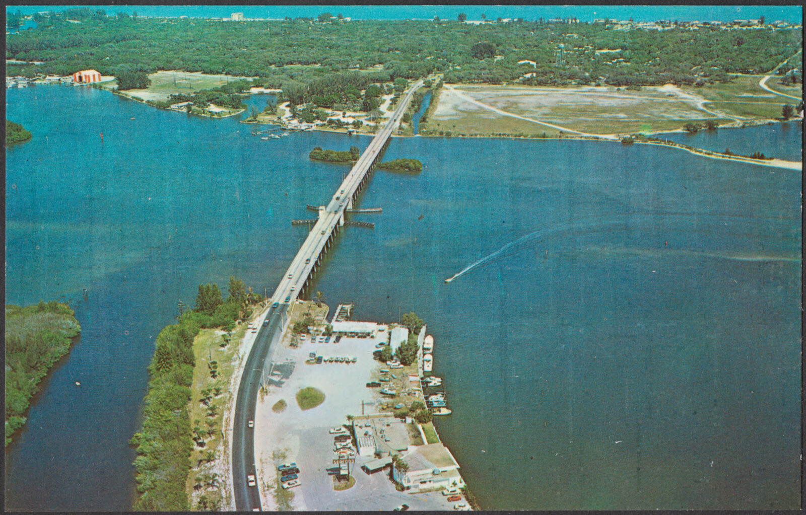


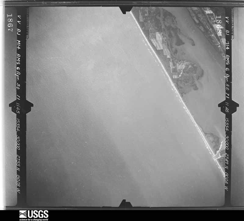
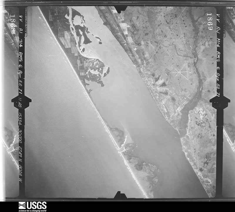
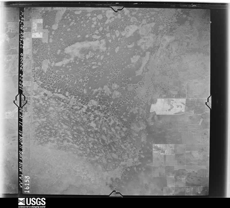
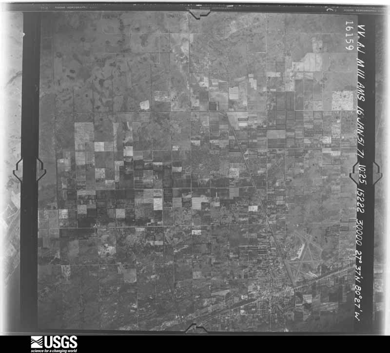
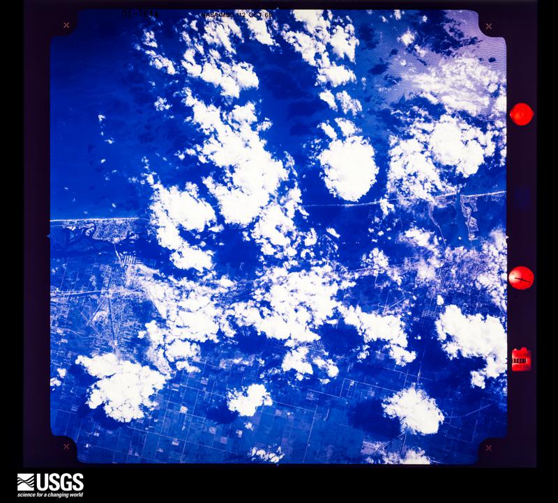
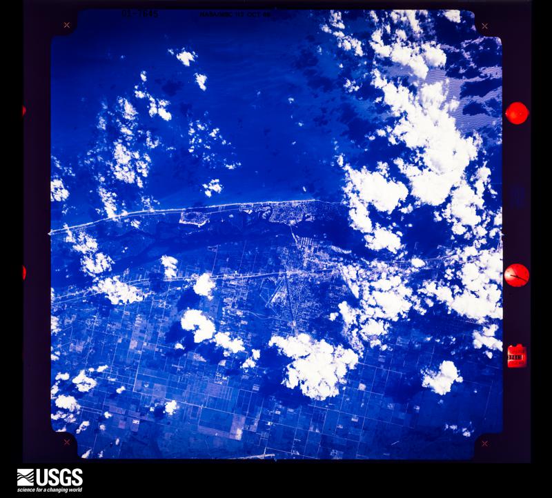
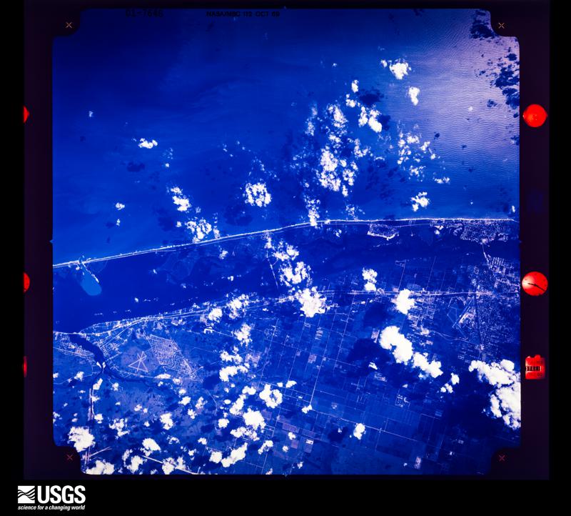
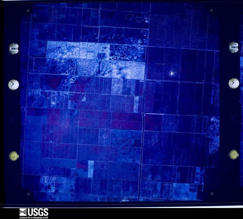
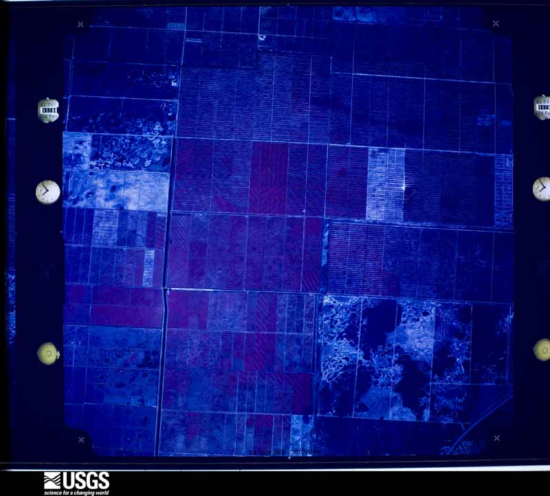
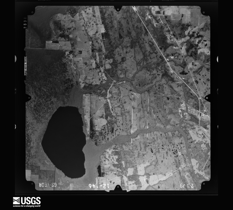
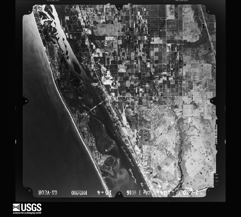
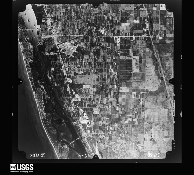
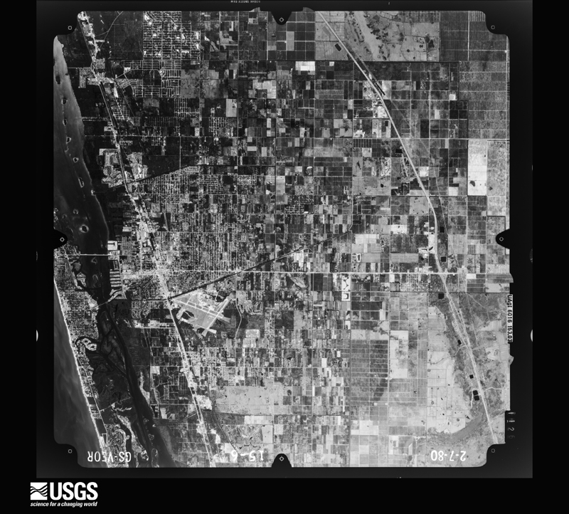
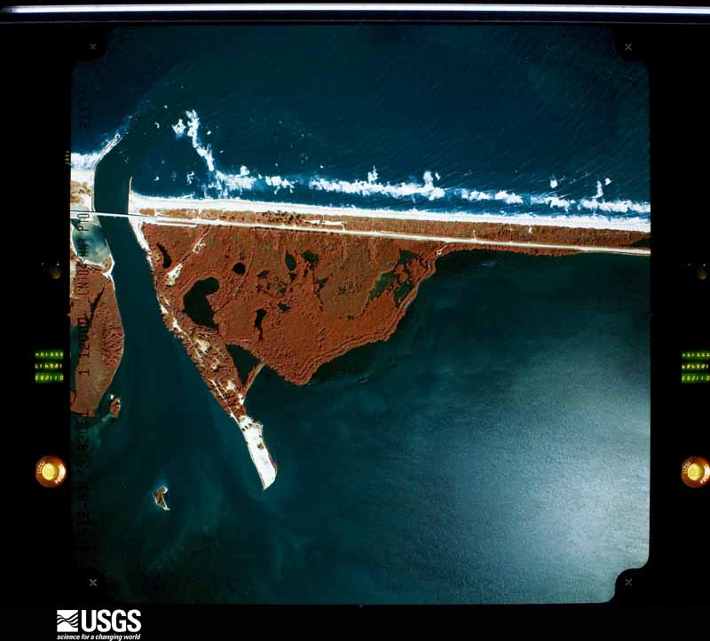
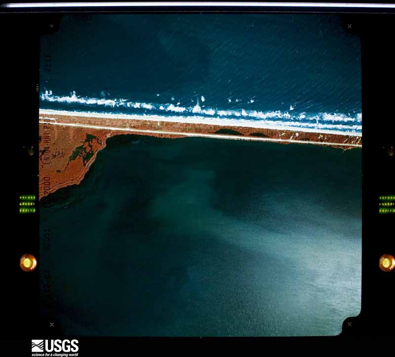
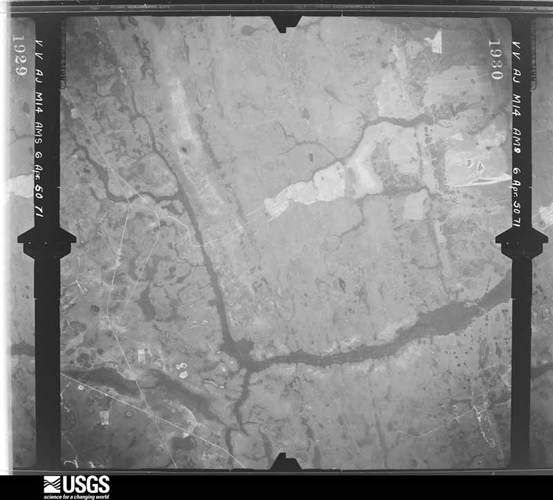
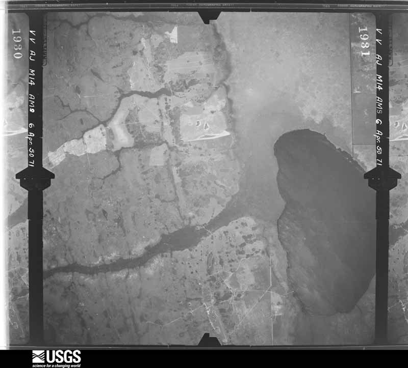
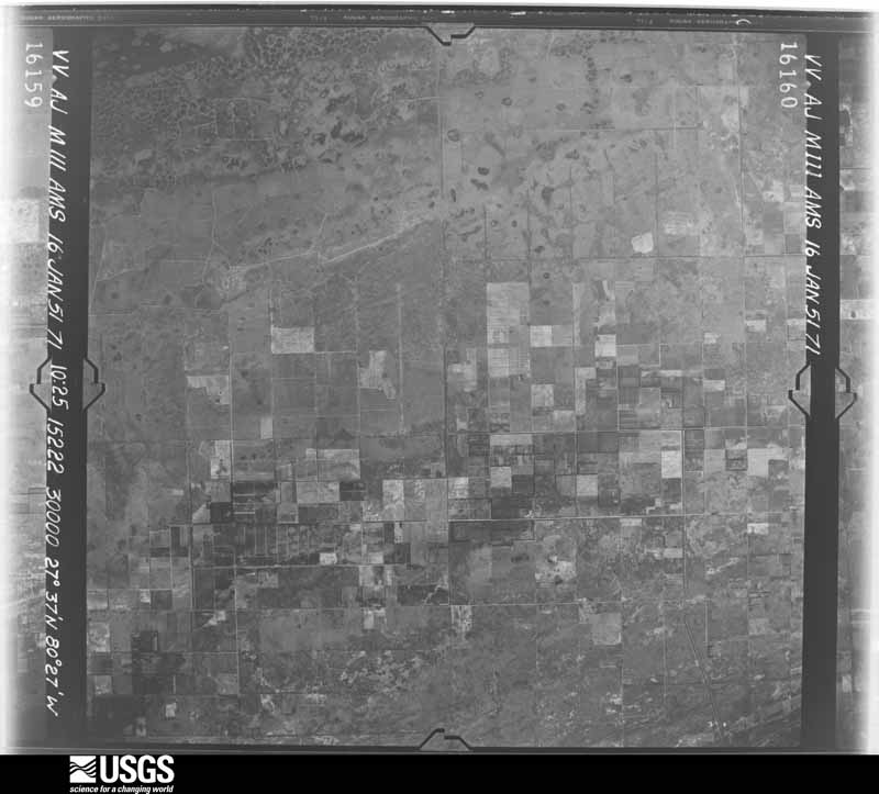
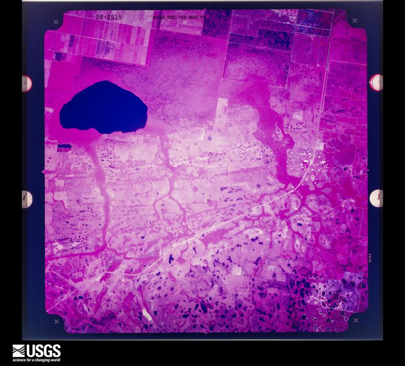
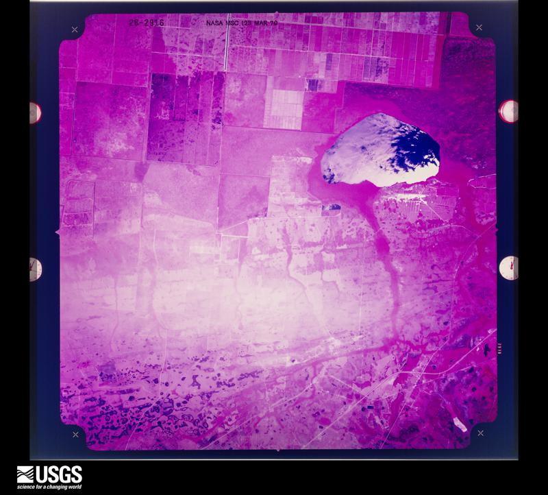
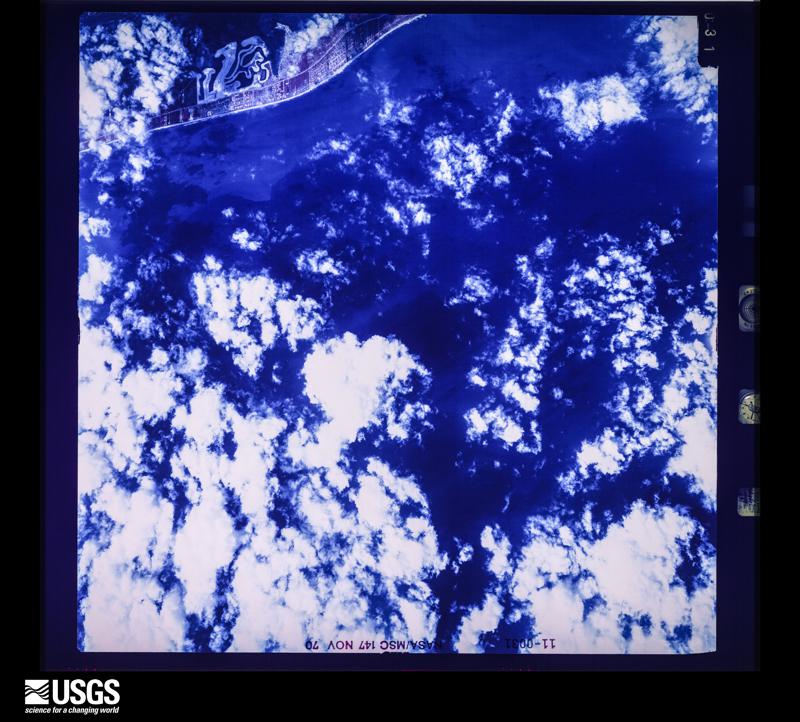
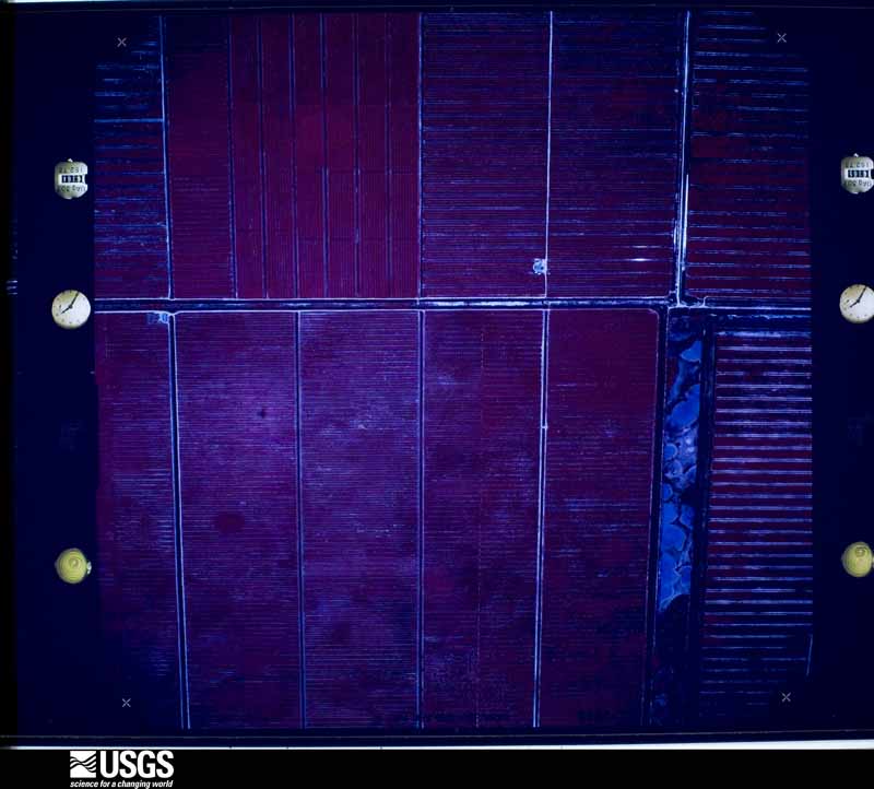
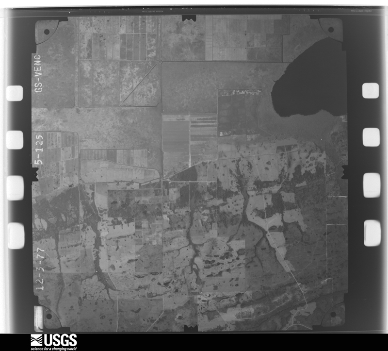
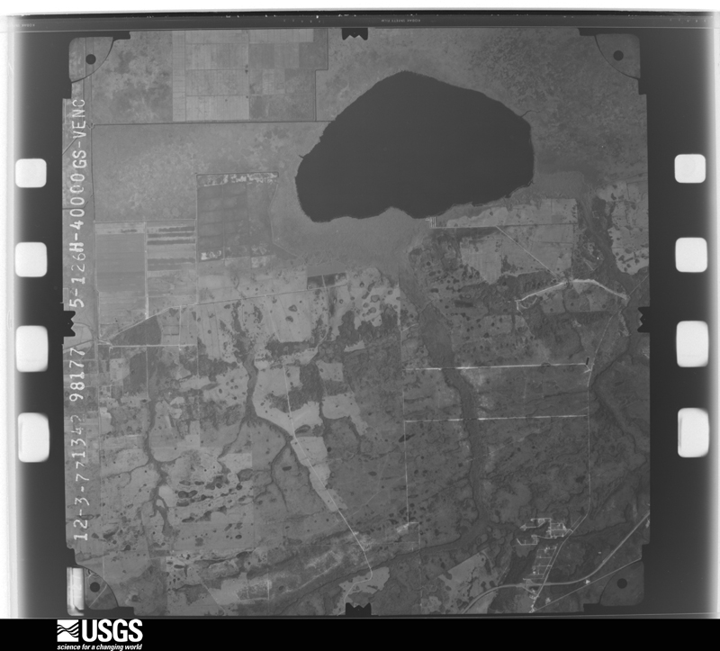
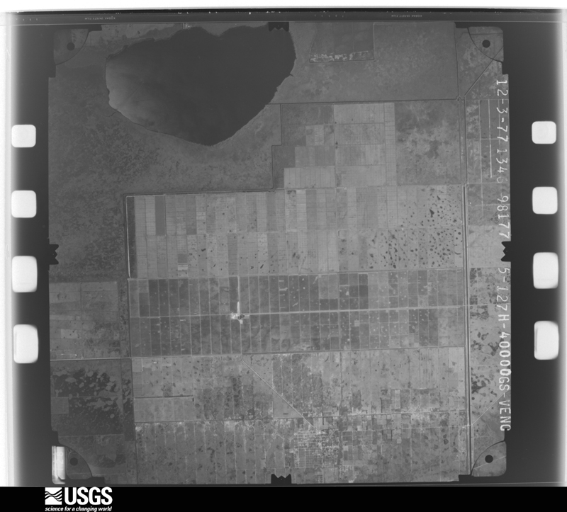
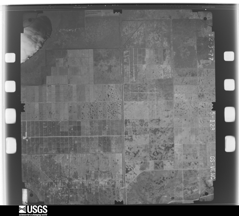
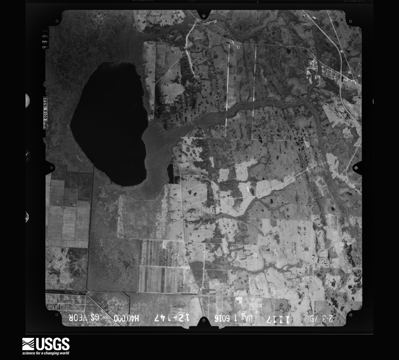
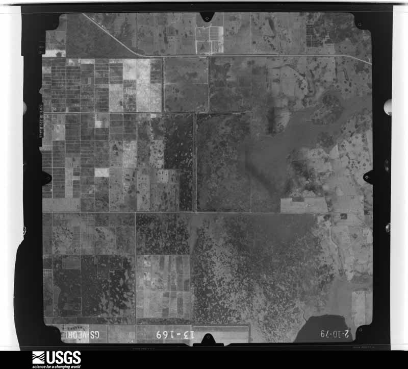
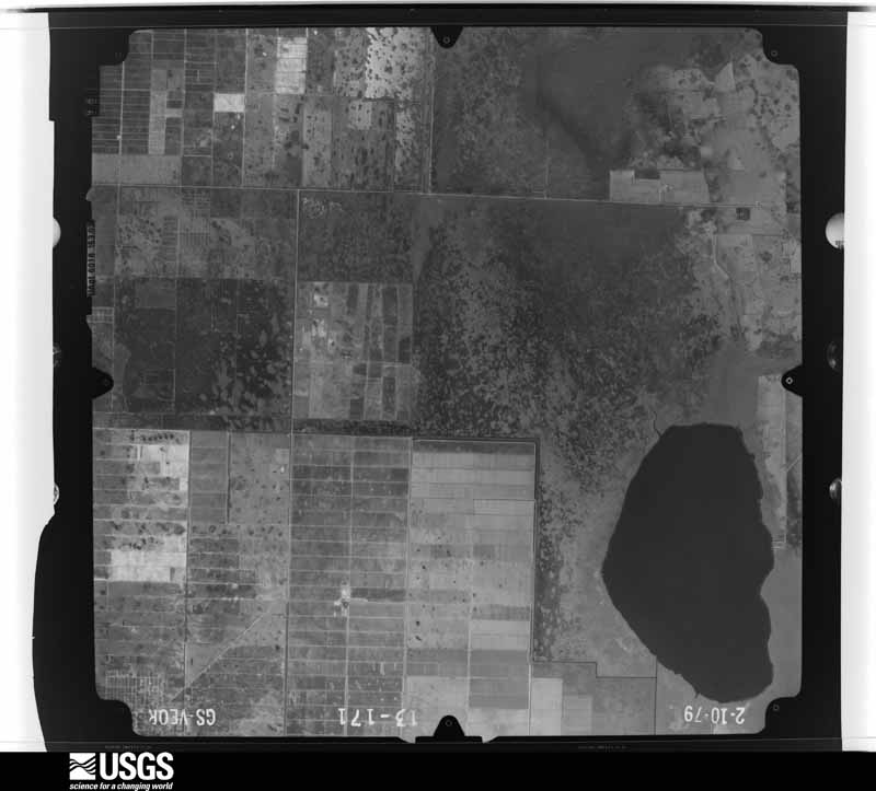
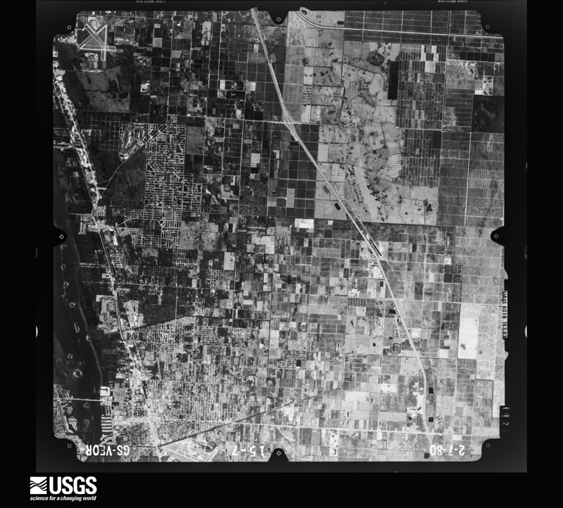
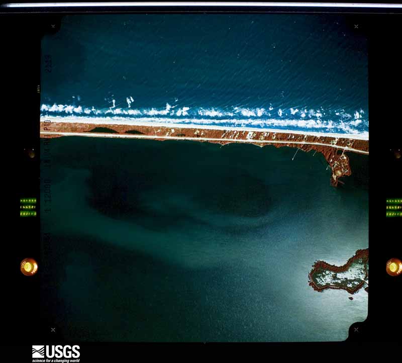
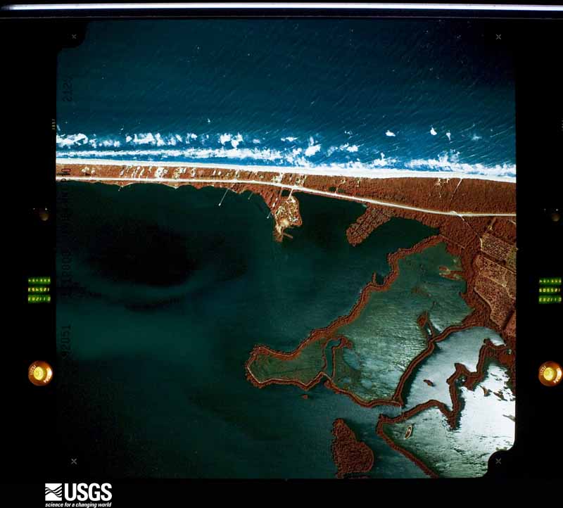
Flown by the U.S. Geological Survey between 1937 and 1989, the Aerial Photo Single Frames collection is the definitive mid-century view of the land: fields, roads and rivers as the camera saw them. The Survey holds 408 frames inside the rectangle that bounds this county; the 35 frames below were taken over the county itself, chosen across the decades of flights (at most four a year from that rectangle), so one flight cannot crowd out the rest. The full set is free to browse and download at EarthExplorer under the dataset Aerial Photo Single Frames.



The thermometers that kept this county's weather, and the gages that measured the flow of its streams, as the federal records hold them. The extremes below are measured values from those records, not estimates.
Who lived here in 1950, one enumeration district at a time, as the Census Bureau described each district. Each row opens its official National Archives result, with Population Schedules and ED Maps available there.
Every wildfire the federal occurrence database records inside this county: 821 of them, burning about 20,019 acres. 283 started naturally and 52 were recorded as arson. Each settlement page carries the fires within five miles of it.
| Reported cause | Fires |
|---|---|
| Natural | 283 |
| Railroad operations and maintenance | 128 |
| Missing data/not specified/undetermined | 111 |
| Misuse of fire by a minor | 79 |
| Debris and open burning | 58 |
| Equipment and vehicle use | 53 |
| Arson/incendiarism | 52 |
| Recreation and ceremony | 28 |
| Power generation/transmission/distribution | 15 |
| Smoking | 9 |
| Fireworks | 3 |
| Other causes | 2 |
The five largest, by the area the report gives. One of them was set deliberately.
| Date | Cause | Size | Reported by | Name on the report |
|---|---|---|---|---|
| 31 January 2001 | Equipment and vehicle use | 5,500 acres | Florida Forest Service | ST. JOHN'S MARSH COMMAND |
| 5 March 2007 | Missing data/not specified/undetermined | 1,092 acres | Florida Forest Service | TAILGATE |
| 23 October 2016 | Arson/incendiarism | 900 acres | Florida Forest Service | JOHNNY MARSH (31) |
| 10 March 2017 | Debris and open burning | 710 acres | Florida Forest Service | ROLLS (31) |
| 1 March 1999 | Railroad operations and maintenance | 540 acres | Florida Forest Service | not named |
| 22 August 1993 | Natural | 450 acres | Florida Forest Service | not named |
| 21 March 2018 | Natural | 392 acres | Florida Forest Service | SUNNY B (31) |
| 31 January 1992 | Equipment and vehicle use | 390 acres | Florida Forest Service | not named |
Every settlement page carries the fires within five miles of it - see the settlement index below.
The NOAA Storm Events Database holds 220 reports for this county, causing 1 death, 12 injuries and about $65,351,770 in recorded property damage. Each settlement page carries the reports that name it.
| Kind of event | Reports |
|---|---|
| Thunderstorm Wind | 77 |
| Hail | 67 |
| Tornado | 34 |
| Funnel Cloud | 11 |
| Flood | 10 |
| Lightning | 8 |
| Flash Flood | 6 |
| Heavy Rain | 5 |
| Waterspout | 2 |
The most serious of them, by death, then injury, then recorded damage. The accounts are quoted exactly as the forecast office filed them.
| When | Event | Place named | Harm | What the report says |
|---|---|---|---|---|
| September 2003 | Lightning | Wabasso | 1 killed, 4 hurt | A 49 year old woman was struck and killed by lightning while standing on a soccer field. About 20 other people were knocked to the ground by the strike. Four other people were transported to a local hospital. This was the first lightning ground stroke of the day in the area as showers began moving inland from the Atlantic. |
| August 2023 | Lightning | Sebastian | 2 hurt | A 11 year old girl visiting from Minnesota was struck and severely injured by a lightning strike at Sebastian Inlet State Park. As of a September 1st news report, the girl was still unconscious and is expected to be permanently disabled. Her mom was also injured but was later released from the hospital. Time estimated via lightning strike data. |
| March 1993 | Thunderstorm Wind | Vero Beach | 1 hurt, $500,000 | Downburst winds from a severe thunderstorm produced widespread damage in Vero Beach and Gifford. Eight homes in Vero Beach had major damage mainly from falling trees. Three commercial buildings were damaged, with trees and power lines down. Wings gusted to 83 mph at Vero Beach at 0427 EST. |
| December 2002 | Tornado (F1) | Wabasso | 1 hurt, $110,000 | An F-1 tornado dropped down in Wabasso about 1/4 mile south of SR 510 and 1.2 miles west of US Highway 1. The tornado moved east north east damaging trees in a citrus grove and overturning a large tractor trailer bed. It moved through a cluster of homes west of US Highway 1 where it destroyed an older wood house and a mobile home. It damaged seven other homes and an three vehicles. One person was hospitalized with heart problems due to the tornado. |
| August 2011 | Lightning | Sebastian | 1 hurt | The current from the lightning strike reportedly passed through the water, went through the boat's motor, metal steering cables and into the wheel that the man held. The strike caused the man to lose consciousness and temporarily stopped his heart. A nurse at the dock performed CPR until his pulse returned. The man was transported to a local hospital and was treated for kidney and ear drum injuries. |
| June 2008 | Lightning | Indian River Shrs | 1 hurt | A fisherman was struck and injured while standing on the beach at Indian River Shores. He was transported to a local hospital. |
| June 2000 | Lightning | Sebastian | 1 hurt | A fifteen year old boy was struck and seriously injured by lightning while on a surfboard at Sebastion Inlet in Indian River County. |
| April 1991 | Thunderstorm Wind | not stated | 1 hurt | no account filed |
| October 2024 | Tornado (EF2) | Oslo | $39,000,000 | This tornado is a continuation of the unusually strong tornado that impacted St. Lucie County. The tornado moved out of the Spanish Lakes Subdivision in St. Lucie County where it then entered the Vero Beach Highlands neighborhood in Indian River County, where multiple properties suffered roof and outbuilding damage, and healthy hardwood trees either were toppled or snapped. This damage paralleled a few blocks within 6th Ave SW. Farther north along US-1 in the Oslo area, a Publix suffered broken windows. Roof AC units were dislodged and fell to the ground, and a car was flipped over. This damage is consistent with EF-1 winds of 90 - 110 mph. ||After crossing the Indian River, additional damage occurred on the barrier island of Vero Beach, mainly near and west of A1A between Bay Dr and Jaycee Park. Significant damage occurred at the Bayou condominiums, where sections of the roof were torn off both the east and west buildings and thrown northward into a neighboring tree line. A pontoon boat was lifted out of the water and landed upside down on the sea wall. Winds in this small area were likely 115 - 125 mph, or EF-2 strength. Wind magnitudes may have been accentuated by proximity to open water. ||North from there, missing shingles or roof tiles were noted on several homes and businesses, consistent with either EF-0 or EF-1 winds. Many large tree branches were broken. In the Bethel Creek neighborhood, multiple homes suffered major roof loss (greater than 50%) and pool cages were destroyed. A low-rise multi-family building also lost over 20% of its roof. The Bethel Creek area damage was EF-2 with winds of 115 - 125 mph. The tornado then continued into a wooded area along the beach, snapping or toppling many trees before moving offshore into the Atlantic Ocean near Jaycee Park where it likely became a waterspout. |
| October 2024 | Tornado (EF1) | Vero Beach | $12,000,000 | This tornado, the second of two to impact downtown Vero Beach, started on the west side of the tracks in Vero Beach South where a few instances of vegetative damage were noted. The circulation strengthened as it continued north along the tracks where more significant damage was noted to trees and structures between 20th St (SR 60) and the Vero Beach airport, coincident with wind gusts up to 100 mph. ||Several businesses suffered extensive roof loss and numerous trees were uprooted. Additionally, a large metal warehouse shifted off its foundation as its walls and roof collapsed near the train tracks at 19th Pl. The tornado continued north toward the Vero Beach Airport where dual-polarimetric radar data suggests the circulation quickly weakened as it approached Gifford. |
| October 2024 | Tornado (EF1) | Vero Lake Estates | $8,000,000 | This tornado, the first of two to impact downtown Vero Beach, likely touched down in Vero Beach South along US-1 near 12th St. where generally vegetative damage was noted in the form of downed trees. Damage to residences and businesses was noted further to the north, particularly to roofs, as the tornado likely strengthened and produce wind speeds of up to 85 mph. ||The circulation intersected the Vero Beach Police Department at approximately 1453EST per surveillance video where several trees and utility poles were downed. A mesonet weather station at the facility recorded a peak wind gust of 92 mph at 1455EST. Several trees were downed in neighborhoods to the north of 20th St and US-1. The tornado continued on a north northwest path, generally near and just east of US-1 and the railroad tracks before diminishing as it moved into the Gifford area. |
| June 1997 | Lightning | Vero Beach | $1,000,000 | Lightning caused a fire that completely destroyed a large house in Vero Beach. Damage was estimated at 1 million dollars. |
| August 2012 | Flood | River Bridge | $856,000 | Persistent heavy rainbands from Tropical Storm Isaac produced widespread urban and lowland flooding across much of the county. Rainfall from the morning of August 26 until the evening of August 27 averaged 4 to 8 inches, with isolated totals of 14 to 17 inches, most of which fell during the morning and afternoon of August 27. The most significant impacts occurred near the coast from Winter Beach to Vero Beach and Florida Ridge. Twenty seven manufactured homes and two single family homes were damaged by water intrusion and 20 roads were temporarily closed due to standing water during the height of the flooding. |
| September 1998 | Tornado (F1) | Sebastian | $700,000 | A tornadic waterspout move on shore from the Indian River Lagoon and crossed the north part of Sebastian knocking down trees and severly damaging the roof of a large factor building. |
| August 2012 | Tornado (EF0) | Vero Beach Airpark | $500,000 | An EF0 tornado touched down just southeast of Indian River County Fire Station number 7 on 12th Street in Vero Beach. A discontinuous path of damage stretched 1.6 miles through the Vero Beach Estates and Countryside Village Mobile Home Parks, crossed State Road 60, and lifted just north of the Paradise Park residential area. A total of 95 structures (mostly mobile homes) were damaged, with 62 receiving minor damage and 33 sustaining major damage due to wind and rain. There were several short locations along the path were damage was minimal or non-evident. DI2 DOD4 LB; DI3 DOD4 LB-EXP, DI4 DOD7 LB. |
| November 2023 | Flood | Fellsmere | $400,000 | Emergency management confirmed a total of ten buildings with water intrusion in Fellsmere and Vero Lake Estates. Also reports that all lanes of 101st Ave were closed at 85th St in Vero Lake Estates. There was a petroleum spill due to eight stalled vehicles. In addition, all lanes of 79th St were closed in Fellsmere and two vehicles were stalled in Fellsmere due to the flooding rain. |
| May 2016 | Tornado (EF1) | Oslo | $395,000 | The tornado produced a short damage path impacting homes along a track encompassing about three blocks. The tornado traveled in a southward direction. Two homes sustained major damage with a significant portion of their roofs damaged. Sixteen other homes experienced minor damage to roofs, soffits and pool screen enclosures. Several trees were snapped and at least two trees were uprooted. The tornado was rated EF1, with estimated maximum winds of 80-90 mph. Estimated loss $395,000. DI2, DOD4, LB-EXP. |
| September 1979 | Tornado (F1) | not stated | $250,000 | no account filed |
| June 2008 | Lightning | Wabasso | $212,000 | Lightning ignited a fire that destroyed at a Marine Learning Center in Wabasso. |
| August 2020 | Lightning | River Bridge | $200,000 | Indian River County Emergency Management relayed a report of a home near the 1500th block of Crowberry Lane in Sebastian caught fire and was destroyed after being struck by lightning. There were no injuries or fatalities. |
| June 2001 | Tornado (F1) | Sebastian | $200,000 | An F1 tornado touched down in the western part of Sebastian and moved southeast along a 2 mile path through the town. It blew down numerous trees, damaged roofs, destroyed pool screens, and sheds. The garage door was blown in and one fourth of the roof was blown off of one house. |
| October 2022 | Tornado (EF0) | Oslo | $142,240 | A National Weather Service Melbourne damage survey confirms that a brief EF-0 tornado touched down in the Midway Estates mobile home community in Vero Beach. The tornado continued to the east-southeast for approximately 4 minutes along a 0.5 mile long track until it dissipated as it crossed into the Vero Shores residential community. The tornado had a maximum width of approximately 100 yards and peak winds estimated between 75-85 mph. Damage was first noted near the entrance to the Midway Estates community when the tornado touched down at approximately 541 PM |EST near the intersection of Douglas and Debra Lanes. Indian River Emergency Management documented 16 homes with at least some damage, with more substantial damage noted toward the southeast corner of the community. Most of these homes suffered at least some damage to their metal roofs, awnings, siding, and skirting. |Several carport and porch awnings were torn away from homes and lofted into neighboring yards, and about portion of one home's roof was lost into the neighboring woods. ||The tornado continued into the Vero Shores residential community where damage was noted to large oak trees and several boat lift awnings. Notably, a carport overhang from a home in neighboring Midway Estates landed in a resident's driveway at the corner of 5th Ct SE. The tornado lifted at approximately 545 PM EST near the|intersection of 5th Ct SE and 22nd St SE.||Per Indian River County EM, eight residential manufactured homes sustained Major damage, nine residential homes sustained Minor damage, and three residential homes were Affected. No residential manufactured homes were destroyed. |
| October 2024 | Tornado (EF0) | Oslo | $100,000 | This event is a continuation of a tornado that produced EF-1 type damage in St. Lucie County where it initially touched down very near Indrio Rd. The tornado crossed the county line near the Spanish Lakes subdivision near MM140 along Interstate 95. The circulation continued into a portion of Indian River County where it produced mainly EF-0 vegetative damage on local farmland. Little structural damage was noted. |
| May 1996 | Thunderstorm Wind | Sebastian | $100,000 | no account filed |
| August 2002 | Thunderstorm Wind | Sebastian | $60,000 | Thunderstorms winds from the west blew across Sebastian and the Intracoastal Waterway overturning three moored vessels. They were a 38 foot trimaran, a 28 foot sailboat and a 54 foot steel research vessel. About 20 trees were blown down on a spoil island east of the overturned vessels. |
| September 2017 | Flash Flood | Fellsmere | $50,000 | Excessive rainfall from Hurricane Irma produced flash flooding in Fellsmere. Indian River County Sheriffs and Fellsmere Police rescued 12 people from flood waters and transported them in a high-water vehicle to the nearby Fellsmere Elementary School evacuation shelter, which was also surrounded by high water and impassible. |
| May 2016 | Flood | Vero Beach Airpark | $50,000 | Persistent thunderstorms produced extremely heavy rain within a short time period from around Vero Beach south to beyond the St. Lucie County line. Numerous roads were closed due to high water and several cars were flooded. Standing water remained high within many neighborhoods for over 24 hours. The Vero Beach ASOS (KVRB) recorded a record 11.22 inches for the day and 8.99 inches accumulated in four hours (1100-1500LST). |
| August 2002 | Flash Flood | Vero Beach | $50,000 | Heavy rain measuring about 5 inches in a few hours flooded streets and 3 homes in Vero Beach. |
| June 1995 | Thunderstorm Wind | Vero Beach | $50,000 | Strong thunderstorm downburst winds blew down light poles at Dodgertown baseball stadium. It also blew down trees and took the roof off of a golf course clubhouse in Vero Beach. |
| June 1994 | Thunderstorm Wind | Sebastian Inlet State | $50,000 | Two pop-up campers were destroyed by thunderstorm winds. |
| February 1998 | Thunderstorm Wind | Vero Beach | $40,000 | Downburst wind from a thunderstorm swept over a mobile home community in Vero Beach producing minor exterior damage to eight mobile homes. Most of the damage was to awnings and carports. |
| October 2024 | Tornado (EF0) | Apoxsee | $25,000 | Based on KMLB dual-polarimetric radar, the tornado started in a rural area south of Fellsmere Rd. near the Indian River and Osceola County border. A damage survey indicated minor damage to a barn at a residence off of Fellsmere Road consistent with EF-0 type damage. The tornado quickly crossed into Osceola County after crossing Fellsmere Road. |
| April 1995 | Thunderstorm Wind | Wabasso | $25,000 | Severe thunderstorms blew down large tree limbs and broke windows out of a house near Ft. Drum. Four houses, two of which were under construction, suffered roof or window damage in the Windsor Subdivision near Wabasso. A nursery and large tent were also damaged in the thunderstorm near Wabasso. |
| June 1992 | Tornado (F0) | not stated | $25,000 | no account filed |
| July 1987 | Tornado (F0) | not stated | $25,000 | no account filed |
| May 1985 | Tornado (F1) | not stated | $25,000 | no account filed |
| October 1978 | Tornado (F0) | not stated | $25,000 | no account filed |
| February 1970 | Tornado (F2) | not stated | $25,000 | no account filed |
| October 2011 | Tornado (EF0) | Florida Ridge | $24,000 | Radar-detected rotation within a northeastward moving thunderstorm cell spawned a short-track EF0 tornado in Vero Beach Highlands. A NWS damage survey estimated maximum winds of 65-70 mph. An unoccupied home on 22nd Place SE sustained major damage, with part of the roof removed. A metal storage shed on a nearby property became airborne and landed in a neighbors front yard. Small branches broke from trees and shrubs were knocked down within a and light damage (mainly to soffits and due to impact from debris) occurred to other homes within the area. There were no injuries. ||Light damage extending one block north and south of 22nd place southeast with small trees damaged and metal storage shed blown off its foundation. |
| September 2004 | Tornado (F1) | Vero Beach | $20,000 | As the main eye wall of Hurricane Jeanne crossed the coast, an F1 strength tornado-like event moved through the northeast corner of the intersection of Interstate 95 and Highway 60, west of Vero Beach. In this area there was a path of blown down trees surrounded by trees with little damage. The size ofthe area was about .5 miles by 30 yards. |
| August 2008 | Flood | Sebastian | $20,000 | no account filed |
| June 1996 | Thunderstorm Wind | Vero Beach | $15,000 | no account filed |
| March 2017 | Thunderstorm Wind | Vero Beach Airpark | $10,000 | Florida Power and Light reported that four wooden power poles were snapped several feet from ground level as a severe thunderstorm moved into a mostly rural area just west of Interstate 95 and south of Highway 60. Photos of the damage suggest straight-line winds of 90-100 mph likely impacted the area. |
| June 2002 | Flash Flood | Fellsmere | $10,000 | Flooding from heavy rains rendered some roads impassable and flooded two homes in the Fellsmere area. |
| February 1998 | Thunderstorm Wind | Vero Beach | $10,000 | Thunderstorm winds blew down power lines and traffic signals in Vero Beach. |
| June 1995 | Thunderstorm Wind | Vero Beach | $10,000 | Severe thunderstorm winds blew down trees and power lines in Vero Beach. |
| March 2022 | Thunderstorm Wind | Gifford | $6,000 | Indian River County Emergency Management reported wind damage in Vero Beach associated with a line of severe storms. Damage included several trees downed near 12th Street at 40th Avenue, a tree down on a vehicle near 17th Street and 6th Avenue, and screen and soffit damage to a home near the intersection of 12th Street and 54th Avenue. |
| September 2012 | Thunderstorm Wind | (Vrb)Vero Beach Muni | $5,000 | A strong thunderstorm uprooted a large tree at the Indian River County jail. The ground was very moist from flooding a week earlier and likely contributed to the uprooting. A fence was damaged by the falling tree. Also at the jail, two law enforcement vehicles experienced minor damage after being impacted by debris. One vehicle was hit by a plastic chair and the other one was damaged when a wheeled storage trailer rolled into it. Measured wind gusts at the nearby Vero Beach airport reached 52 mph. |
| January 1999 | Thunderstorm Wind | Vero Beach Muni Arpt | $5,000 | Thunderstorm winds damaged doors to the terminal building at the Vero Beach Airport. |
| April 1997 | Thunderstorm Wind | Sebastian | $5,000 | Thunderstorm winds blew down limbs and destroyed a pool screen in Sebastian. |
| April 1997 | Thunderstorm Wind | Sebastian | $5,000 | Thunderstorm winds blew down limbs and destroyed a pool screen in Sebastian. |
| October 2022 | Thunderstorm Wind | Oslo | $3,250 | Storm survey confirmed minor straight-line wind damage from a severe thunderstorm in a residential community adjacent to the Indian River Golf Club, centered near the intersection of 19th PL SW and 8th Ave SW in Vero Beach. The survey noted two uprooted trees, as well as damage to street signs and fencing. Peak winds estimated. |
| September 2001 | Tornado (F0) | Sebastian | $3,000 | A rain band associated with Tropical Storm Gabrielle moving north along the Florida coastline produced a small F0 tornado just south of Sebastian Inlet. The tornado was on the ground briefly, blowing down a few trees, damaging a camp trailer and a picnic shelter. |
| May 1984 | Tornado (F0) | not stated | $2,500 | no account filed |
| April 1973 | Tornado (F0) | not stated | $2,500 | no account filed |
| November 1963 | Tornado (F2) | not stated | $2,500 | no account filed |
| June 2023 | Thunderstorm Wind | Sebastian | $1,000 | Emergency manager reported that State Road A1A was closed in the Pelican Island National Wildlife Preserve due to powerlines blocking the roadway. |
| September 2017 | Thunderstorm Wind | Cummings | $500 | A cluster of thunderstorms moved onshore from the Atlantic and spread inland, affecting the town of Sebastian. On Gilbert Street, some homes lost shingles and a fence was blown town. Nearby on Canal Circle, a home experienced minor roof damage and several surrounding homes lost some shingles. |
| March 1993 | Thunderstorm Wind | not stated | $500 | Thunderstorm winds blew down trees and power lines in western Indian River County. Dime-size hail fell in Sebastian. |
| February 1995 | Hail | Vero Beach | $500 | no account filed |
The Survey's mineral resources record lists 6 workings inside this county. 2 still produce and 4 are closed or unrecorded. Each settlement page carries the workings within five miles of it.
| Commodity | Workings |
|---|---|
| Sand | 4 |
| Titanium-Heavy Minerals | 1 |
| Titanium, Zirconium | 1 |
The least common of them first, because a county's hundredth gravel pit says nothing its first ten did not.
| Where | Site | Commodity | Status | Recorded |
|---|---|---|---|---|
| Riz Mineral Co. Mine | Titanium, Zirconium | Past Producer | ||
| Vero Beach Placer | Titanium-Heavy Minerals | Producer | Kyanite, Zircon, Rutile, Leucoxene, Ilmenite | |
| Henry Fischer & Sons, Inc. - San Sebastian Spgs-E Mine | Sand | Unknown | Sand | |
| Henry Fischer & Sons,Inc. - San Sebastian Spgs-W Mine | Sand | Unknown | Sand | |
| Henry Fischer & Sons,Inc. - Vickers Mine | Sand | Unknown | ||
| Henry Fischer and Son Sand Co. -Yellow Sand Pit | Sand | Producer |
Named settlements recorded in the Geographic Names Information System, each with the topographic sheets covering it. Villages, hamlets and abandoned places alike. Each is shown with the nearest named watercourse or landform and the survey quadrangle it falls on.
Vero Beach census division · 32958 · Near Pauls Island · Sebastian quadrangle
17 sheets, 1949 to 1988
Vero Beach census division · 32967 · On Gifford Island · Vero Beach quadrangle
19 sheets, 1949 to 1988
Vero Beach census division · 32963 · Near Barker Island · Vero Beach quadrangle
19 sheets, 1949 to 1988
Vero Beach census division · 32963 · Near Long Island · Sebastian quadrangle
17 sheets, 1949 to 1988
Vero Beach census division · 32963 · Near Preachers Island · Sebastian quadrangle
17 sheets, 1949 to 1988
Vero Beach census division · 32962 · Near Shell Island · Oslo quadrangle
16 sheets, 1949 to 1988
Vero Beach census division · 32963 · On Riomar Creek · Riomar quadrangle
16 sheets, 1948 to 1988
Vero Beach census division · 32958 · On South Prong Saint Sebastian River · Sebastian quadrangle
17 sheets, 1949 to 1988
Vero Beach census division · 32963 · Near Shell Island · Indrio quadrangle
16 sheets, 1948 to 1988
Fellsmere census division · 32967 · South of Fellsmere quadrangle
16 sheets, 1953 to 1988
Fellsmere census division · 32966 · South of Fellsmere quadrangle
16 sheets, 1953 to 1988
Vero Beach census division · 32967 · On Wabasso Island · Vero Beach quadrangle
19 sheets, 1949 to 1988
Vero Beach census division · 32963 · Near Michael Island · Sebastian quadrangle
17 sheets, 1949 to 1988
Vero Beach census division · 32967 · Near Hole in the Wall Island · Vero Beach quadrangle
19 sheets, 1949 to 1988