 Block
BlockPalm Coast, Florida
14 topographic sheets cover this place, the earliest surveyed in 1927 and the latest in 1981. It stands in the Flagler Beach census division. It lies in ZIP code area 32137. It stands on Big Mulberry Branch. The Survey maps it on the Beverly Beach quadrangle. 89,258 people lived here at the 2020 count. It stands 3 feet above sea level.
Then and now
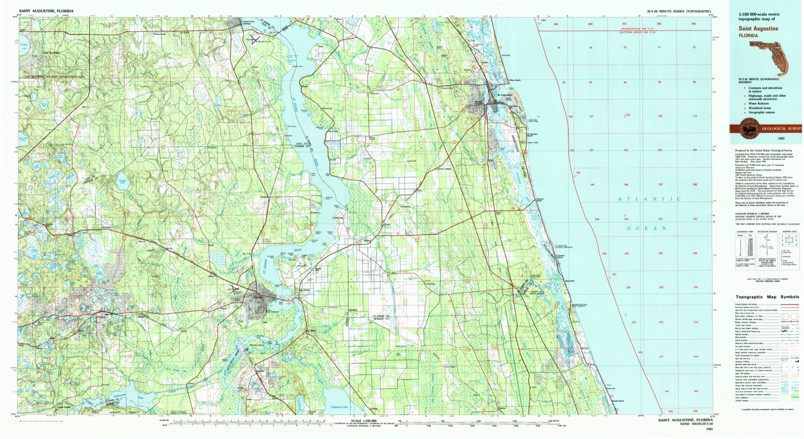
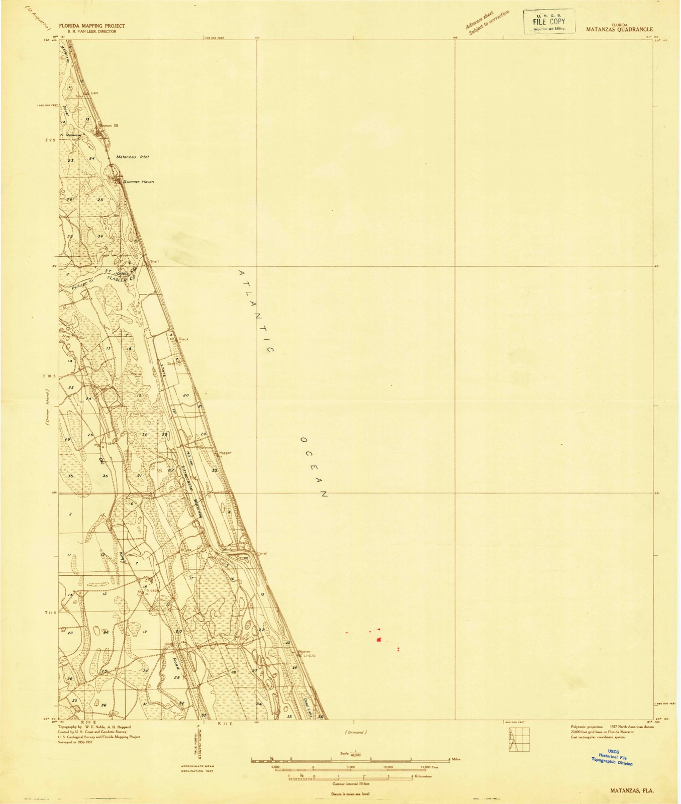
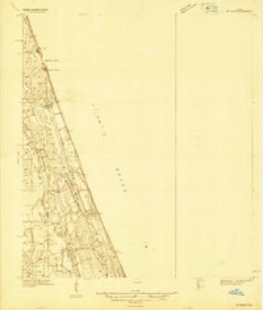
1927 to 1981The same ground, surveyed 54 years apart. Drag the handle to wipe between them. Both sheets are United States Geological Survey originals; neither has been altered.
Compare 1927 against another survey:
On record in Palm Coast
Buildings and businesses the archive holds for this place. Each opens its own page, with the source record it came from.
On the National Register 2 records
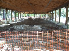 Mala Compra Plantation Archeological Sitelisted 2004
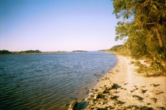 Washington Oaks Historic Districtlisted 2009
Population over time
2 figuresPalm Coast grew from 75,180 to 89,258 between 2010 and 2020. These are the recorded population figures Wikidata holds for this place, reached through the Geographic Names Information System number this page is keyed on rather than by name, so they belong to this place and not to another of the same name. Most are census counts, but not all are: an early figure may be a founding or settlement estimate, and an estimate published within five years of a census is left out. The change column is computed, and is left blank where more than 20 years separate a figure from the one before it, because a gap that long is not a change between two counts.
| Year | People | Change |
|---|---|---|
| 2010 | 75,180 | |
| 2020 | 89,258 | +14,078 (+19%) |
Topographic sheets covering this place
8 surveys from 14 printed sheetsMatched by testing this settlement's coordinate against the published boundary of every sheet in the United States Geological Survey's historical collection. Each opens the scanned sheet at the Survey.
- 1927 USGS Matanzas quadrangle1:48000
- 1943 USGS Matanzas quadrangle1:62500
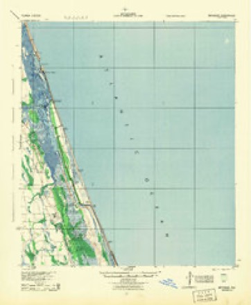
- 1944 USGS Matanzas quadrangle1:62500
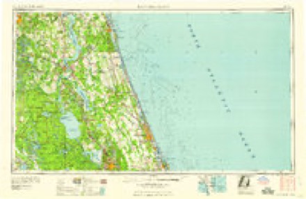
- 1954 USGS Daytona Beach quadrangle1:250000
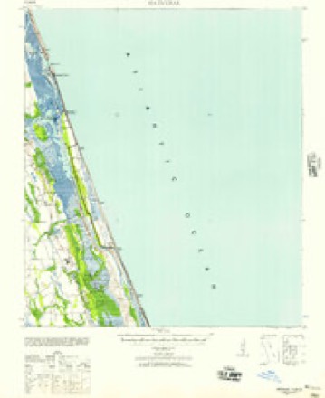
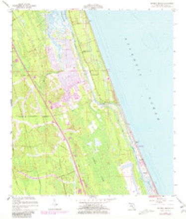
- 1956 USGS Beverly Beach quadrangle1:24000, 5 printings
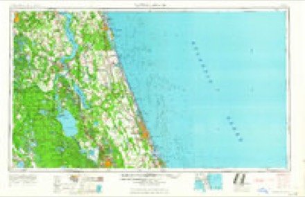
- 1958 USGS Daytona Beach quadrangle1:250000, 2 printings
- 1964 USGS Daytona Beach quadrangle1:250000
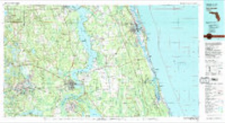
- 1981 USGS Saint Augustine quadrangle1:100000, 2 printings
Fires near this place
195 since 1992Regional context, not property-specific evidence. The federal wildfire occurrence database lists 195 fires within 5 miles of Palm Coast between 1992 and 2020, burning about 827 acres in total. 82 started naturally. 22 were recorded as arson. Distance is straight-line from the map coordinates, so a fire counted here may appear on a neighbouring settlement's page as well.
| Reported cause | Fires |
|---|---|
| Natural | 82 |
| Missing data/not specified/undetermined | 24 |
| Arson/incendiarism | 22 |
| Equipment and vehicle use | 21 |
| Misuse of fire by a minor | 19 |
| Railroad operations and maintenance | 9 |
| Debris and open burning | 7 |
| Power generation/transmission/distribution | 4 |
| Fireworks | 3 |
| Recreation and ceremony | 3 |
| Other causes | 1 |
The most recent of them, most recent first, with the day each was reported and the service that recorded it.
| Date | Cause | Size | Reported by | Name on the report |
|---|---|---|---|---|
| 6 September 1999 | Natural | under an acre | Florida Forest Service | not named |
| 5 September 2007 | Power generation/transmission/distribution | 1.0 acres | Florida Forest Service | WF MATANZAS WOODS/BELL TERRE |
| 16 September 2011 | Missing data/not specified/undetermined | 4.5 acres | Florida Forest Service | DAVIS GRADE 2 -18 |
| 14 September 2008 | Arson/incendiarism | under an acre | Florida Forest Service | WF-BELLE TERRE 0733 |
| 1 September 2005 | Natural | 18 acres | Florida Forest Service | WF-KELLY |
| 1 September 2003 | Missing data/not specified/undetermined | under an acre | Florida Forest Service | LANSING LANE |
| 9 August 2011 | Natural | 6.2 acres | Florida Forest Service | DAVIS GRADE (18) |
| 8 August 2002 | Misuse of fire by a minor | under an acre | Florida Forest Service | not named |
Settlements close enough to share some of these fires:
Storms near this place
60 of 87 shownRegional context, not property-specific evidence. The National Weather Service names Palm Coast in 87 storm reports between 1996 and 2023: 33 thunderstorm wind, 32 heavy rain, 12 hail, 4 funnel cloud. No death or injury is recorded in these reports. Each account below is quoted exactly as the forecast office filed it, from the NOAA Storm Events Database, and each date opens the federal record of that event.
| When | Event | Place named | Harm | What the report says |
|---|---|---|---|---|
| March 2011 | Thunderstorm Wind | Palm Coast | $30,000 | Thunderstorm downburst winds were first reported at 443 pm EDT in northeast Palm Coast when a 62 mph wind gust was measured. Pool screens were damaged and dime size hail was observed. At 444 pm, a tree was blown down onto a home along Richard Drive and reports of power lines blown down were received. By 445 pm, emergency management received reports of a roof blown off a mobile home on Starboard Drive, a tree on a home along Richland Lane, and multiple trees and electrical wires blown down in the Leigh Woods section of Palm Coast. No injuries were reported. The cost of total damage was estimated. |
| September 2012 | Thunderstorm Wind | Palm Coast | $17,500 | Three houses were damaged by a small mircoburst in Palm Coast on Campbell Court. Winds were estimated between 45 and 55 mph. The cost of damage was estimated between 15 and 20 thousand dollars. |
| January 1996 | Thunderstorm Wind | Palm Coast | $3,500 | no account filed |
| April 2018 | Thunderstorm Wind | Palm Coast | $3,000 | Several trees were blown down between Palm Coast and Flagler Beach, however, EM reported overall minor damage. There was minor damage done to signs and a few buildings. The cost of damage was unknown, but it was estimated for the event to be included in Storm Data. |
| March 2016 | Lightning | Palm Coast | $3,000 | A transformer was struck by lightning in Palm Coast. Power outages occurred in the area. The cost of damage was estimated. |
| August 2015 | Thunderstorm Wind | Palm Coast | $2,000 | Several trees were blown down in Palm Coast with estimated wind gusts to 50 mph. |
| July 2014 | Lightning | Palm Coast | $2,000 | Lightning started a shed fire at 30 Boulder Rock Drive. Several other small brush fires were started in the vicinity. The cost of damage was unknown, but estimated for this event to be included in StormData. |
| July 2009 | Lightning | Palm Coast | $2,000 | Lightning struck homes in Palm Coast and Flagler Beach. Brush fires were also reported. The cost of damage was estimated. |
| June 2022 | Thunderstorm Wind | Palm Coast | $1,000 | The Flagler county EM reported that a tree fell down into transformer wires in Palm Coast. Location was approximated. |
| June 2015 | Thunderstorm Wind | Palm Coast | $1,000 | A tree was blown onto power lines off of Fort Caroline Lane. The time of damage was based on radar. The cost of damage was estimated. |
| July 2014 | Thunderstorm Wind | Palm Coast | $1,000 | A tree and power lines were blown down along Foster Lane. The cost of damage was estimated for the event to be included in Storm Data. |
| June 2010 | Lightning | Palm Coast | $1,000 | A lightning strike caused a structure fire in Northern Palm Coast. The cost of damage was estimated. |
| April 2020 | Thunderstorm Wind | Palm Coast | $500 | A tree was blown down along Palm Harbor drive near Hammock Dunes Bridge. One minute later the WeatherStem station on the bridge reported a peak wind gust of 45 mph. The cost of damage was unknown, but it was estimated for inclusion of the event in Storm Data. |
| June 2019 | Thunderstorm Wind | Palm Coast | $500 | A tree was blown down near St. Johns Ave. The cost of damage was estimated. |
| June 2019 | Thunderstorm Wind | Palm Coast | $500 | A tree was blown down across a driveway in the Pine Lake section of Palm Coast. The cost of damage was estimated. |
| June 2019 | Thunderstorm Wind | Palm Coast | $500 | A tree was blown down onto power lines in Palm Coast on Parkview Drive. The cost of damage was estimated. |
| July 2015 | Thunderstorm Wind | Palm Coast | $500 | A tree was blown down on Fleetwood Drive in Palm Coast. The cost of damage was estimated. |
| August 2015 | Thunderstorm Wind | Palm Coast | $500 | A tree was blown down on Palm Harbor Parkway near Fire Station 24. The cost of damage was estimated. |
| January 2016 | Thunderstorm Wind | Palm Coast | $200 | Thunderstorm wind gusts of 35 to 40 mph were reported across Palm Coast as a broken squall line moved across the area. These winds blew down large tree limbs in some areas. The cost of damage was estimated for Storm Data. |
| June 2023 | Thunderstorm Wind | Palm Coast | - | All lanes of Palm Coast Parkway near the Hammock Dunes Bridge were obstructed by debris near 5000 Palm Coast Parkway. The Hammock Dunes Bridge gust to 57 mph. |
| June 2022 | Hail | Palm Coast | - | Flagler county EM reported 1 inch hail fell in Palm Coast around 3 PM EDT. |
| April 2021 | Heavy Rain | Palm Coast | - | Storm total rainfall was 3.40 inches for the day in NW Palm Coast. |
| April 2021 | Hail | Palm Coast | - | Near dime size hail was reported in Lehigh Woods in Palm Coast. |
| May 2021 | Funnel Cloud | Palm Coast | - | A funnel cloud was observed near Quail Hollow. |
| July 2021 | Thunderstorm Wind | Palm Coast | - | A large tree was blown down across Palm Harbor Parkway near address 101. The tree blocked the road. |
| June 2020 | Thunderstorm Wind | Palm Coast | - | The WeatherStem Station at Hammock Dunes Bridge measured a wind gust to 58 mph. |
| June 2020 | Thunderstorm Wind | Palm Coast | - | Large tree branches were blown down near Hammock Dunes Bridge. The WeatherStem station on the bridge measured a wind gust of 58 mph. |
| July 2020 | Heavy Rain | Palm Coast | - | Rainfall of 2.47 inches was measured in 45 minutes in East Palm Coast. |
| July 2018 | Heavy Rain | Palm Coast | - | A spotter in western Palm Coast measured a 24-hr rainfall from Sunday to Monday of 4 inches. |
| January 2017 | Hail | Palm Coast | - | Quarter size hail was reported in the C section of Palm Coast. |
| January 2017 | Hail | Palm Coast | - | EM team relayed multiple reports of penny size hail in Palm Coast. |
| April 2017 | Heavy Rain | Palm Coast | - | At 1030 am, the emergency manager reported slow traffic along A1A due to flooding caused by trapped rainwater (poor drainage). At 220 pm, the public reported 4.75 inches of daily rainfall measured in Palm Coast. |
| October 2017 | Flood | Palm Coast | - | Multiple secondary roads were flooding across the NE section of the county including roads in the Hammocks, Palm Coast and Bunnell. Several cars were submerged in the flood water. |
| October 2017 | Heavy Rain | Palm Coast | - | A spotter in western Palm Coast measured a 2 day rainfall of 13.12 inches. |
| July 2017 | Heavy Rain | Palm Coast | - | In 30 minutes, a spotter measured 2.4 inches of rainfall. |
| June 2015 | Flood | Palm Coast | - | Standing water on the road caused a flooded intersection that had to be closed. |
| July 2015 | Heavy Rain | Palm Coast | - | A spotter measured 1 inch of rainfall in 20 minutes. |
| April 2015 | Thunderstorm Wind | Palm Coast | - | A tree was blown down which completely blocked a roadway. |
| September 2015 | Heavy Rain | Palm Coast | - | Heavy rainfall reports from Palm Coast area included 1.80 inches in West Palm Coast occurring within 45 minutes. East Palm Coast from Fire Rescue measured 2.20 within one hour. A southwest Palm Coast spotter measured 1.30 within 40 minutes. In Eagle Rock a spotter measured 1.90 within 40 minutes. |
| October 2014 | Thunderstorm Wind | Palm Coast | - | A pool screen and mailbox were blown down on Folcroft Lane in Palm Coast. |
| September 2014 | Heavy Rain | Palm Coast | - | An observer in Palm Harbor measured 5.20 in 24 hours. |
| September 2014 | Heavy Rain | Palm Coast | - | A 24-hr rainfall amount of 5.75 was measured in County Club Cove. |
| September 2014 | Heavy Rain | Palm Coast | - | An observer measured 10.74 inches of rainfall in 24 hours. |
| September 2014 | Heavy Rain | Palm Coast | - | An observer measured 5.88 in 12 hours. |
| September 2014 | Heavy Rain | Palm Coast | - | Evening rainfall total was 6.36. |
| November 2014 | Thunderstorm Wind | Palm Coast | - | Trees were blown down and uprooted with large tree limbs down as well. |
| November 2014 | Heavy Rain | Palm Coast | - | Observer measured 4.35 in 24 hours. |
| July 2013 | Thunderstorm Wind | Palm Coast | - | Trees were blown down near Raemore Drive in Palm Coast. The time of the damage was based on radar. |
| August 2013 | Heavy Rain | Palm Coast | - | A spotter measured 3.5 inches of rainfall within 2 hours in NW Palm Coast. In NE Palm Coast, a spotter measured 1.3 inches. |
| June 2012 | Hail | Palm Coast | - | Dime to nickel size hail was reported along with minor local street flooding. |
| May 2012 | Heavy Rain | Palm Coast | - | Storm total rainfall from central Palm Coast was 4.02 inches. Northern Palm Coast reported 2.5 inches and west Palm Coast reported 2.25 inches. |
| May 2012 | Thunderstorm Wind | Palm Coast | - | A tree was down on Seminole Wood Parkway. |
| July 2011 | Hail | Palm Coast | - | Dime size hail was reported in the Bunker Hill area of Palm Coast. |
| January 2011 | Heavy Rain | Palm Coast | - | Widespread heavy rainfall occurred across Flagler county. Daily totals were generally around 1.5 to 2 inches. There was one report of 3 inches in West Central Palm Coast and another of 2.2 inches in Haw Creek. |
| February 2011 | Heavy Rain | Palm Coast | - | Emergency management relayed storm total rainfall reports from across Flagler County. Amounts of 2.6 were measure in West Palm Coast to 2.5 in South Central Palm Coast. Amounts generally ranged from 1 to 2 inches...with the lowest amount reported in the county at 1 inch in Haw Creek. |
| June 2011 | Thunderstorm Wind | Palm Coast | - | A pool awning on Bassett Land was damaged by thunderstorm winds. |
| June 2011 | Thunderstorm Wind | Palm Coast | - | Trees were blown down and damaged in the Indian Trails and Palm Harbor sub-divisions of Palm Coast. |
| June 2011 | Heavy Rain | Palm Coast | - | A spotter measured 4.0 inches within one hour in central Palm Coast. |
| September 2011 | Heavy Rain | Palm Coast | - | Several reports of 24 hour rainfall totals of 4 inches were recorded in Palm Coast. |
| June 2010 | Heavy Rain | Palm Coast | - | Heavy rainfall produced 1.6 inches of rain in 30 minutes in West Palm Coast. |
Nearest settlements
The eight closest, with where each one stands in the county. Distances are straight-line, computed from the Geographic Names Information System coordinates.
| Map | Place | Distance | Sheets |
|---|---|---|---|
| Bon Terra | 1.1 miles | 14 | |
| Painters Hill | 4.6 miles | 14 | |
| Marineland | 5.8 miles | 13 | |
| Beverly Beach | 5.9 miles | 14 | |
| Espanola | 7.6 miles | 14 | |
| Neoga | 7.9 miles | 14 | |
| Bunnell | 8.6 miles | 9 | |
| Flagler Beach | 8.7 miles | 14 |
Elsewhere
Matched on this settlement's Geographic Names Information System number rather than its name, so it cannot be a different place of the same name in another state.
| Wikipedia article on Palm Coast | An encyclopaedic summary. Its text is share-alike, so it is linked here rather than copied. |
| Wikidata item Q610463 | The structured record the population and elevation above come from. Public domain (CC0). |
Provenance
This settlement is recorded in the Geographic Names Information System as feature 295049. The sheet list is computed by point-in-boundary test against the United States Geological Survey's historical topographic inventory. Both are works of the United States government and carry no copyright under 17 U.S.C. 105.
Wildfire. Short, Karen C. 2022. Spatial wildfire occurrence data for the United States, 1992-2020 [FPA_FOD_20221014]. 6th Edition. Fort Collins, CO: Forest Service Research Data Archive. https://doi.org/10.2737/RDS-2013-0009.6 Collected with United States Government funding and usable without additional permissions or fees.
Storms. NOAA National Centers for Environmental Information, Storm Events Database https://www.ncei.noaa.gov/stormevents/ A work of the United States government, no copyright under 17 U.S.C. 105. Narratives are quoted verbatim from the National Weather Service report and are not edited or summarised.