 Block
BlockFrom the record
11 National Register listings published here.
Sources: the National Register database, National Park Service
54 topographic sheets cover 22 settlements here, and 11 properties are on the National Register of Historic Places.
11 National Register listings published here.
Sources: the National Register database, National Park Service
Every property in this county listed on the National Register of Historic Places, with the year it was listed and the federal nomination document.
| Photograph | Property | Type | Listed | Reference |
|---|---|---|---|---|
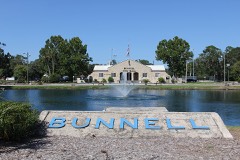 | Bunnell City Hall | building | 2019 | 100003406 |
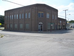 | Bunnell State Bank Building, Old | building | 1992 | 92000824 |
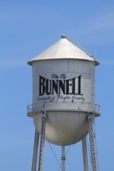 | Bunnell Water Tower | structure | 2019 | 100003407 |
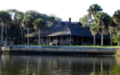 | Cherokee Grove | building | 1997 | 97000379 |
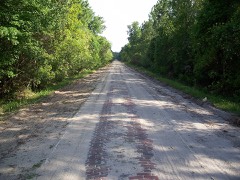 | Dixie Highway-Hastings, Espanola and Bunnell Road | structure | 2005 | 05000311 |
| Espanola Schoolhouse | building | 2020 | 100005382 | |
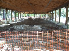 | Mala Compra Plantation Archeological Site | site | 2004 | 04000142 |
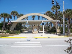 | Marine Studios | district | 1986 | 86000831 |
| St. Mary Catholic Church | building | 2024 | 100009785 | |
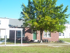 | Vocational Agriculture Building | building | 2007 | 07000058 |
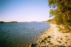 | Washington Oaks Historic District | district | 2009 | 09000400 |
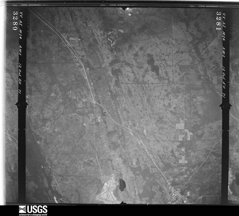
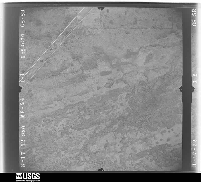
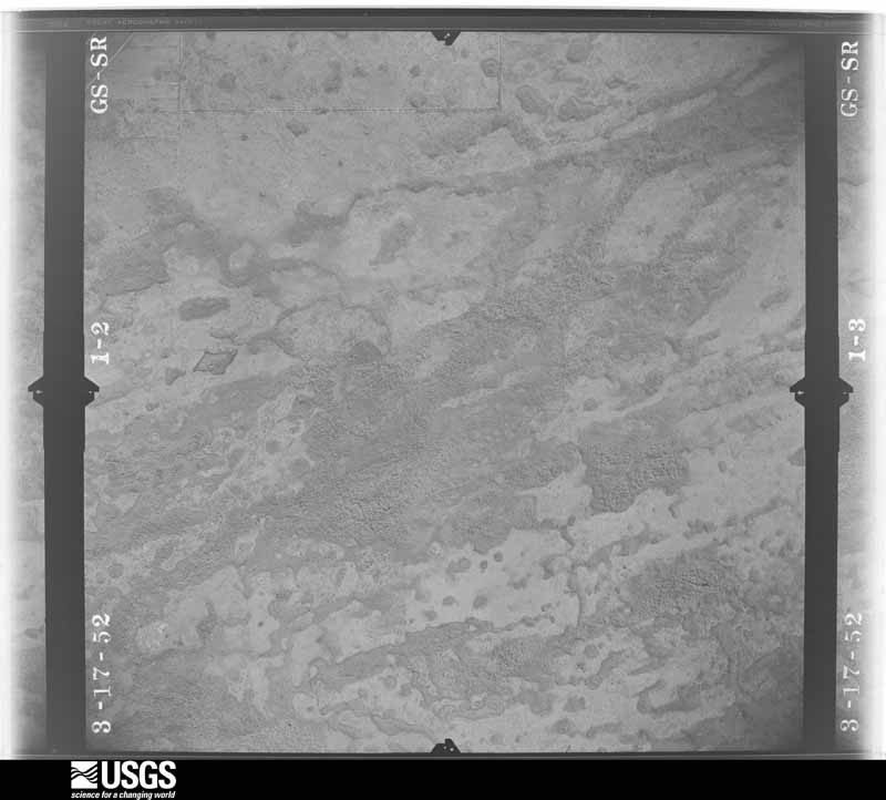
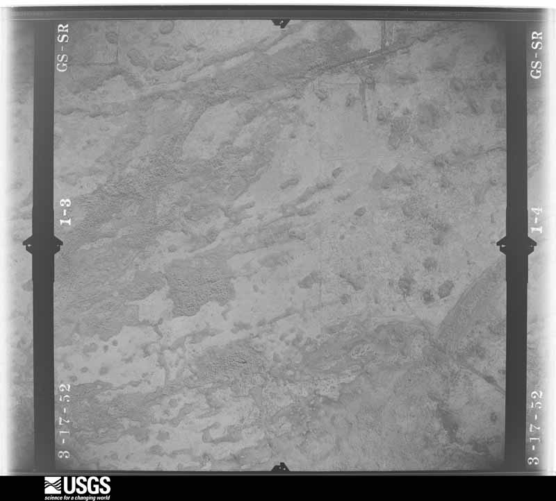
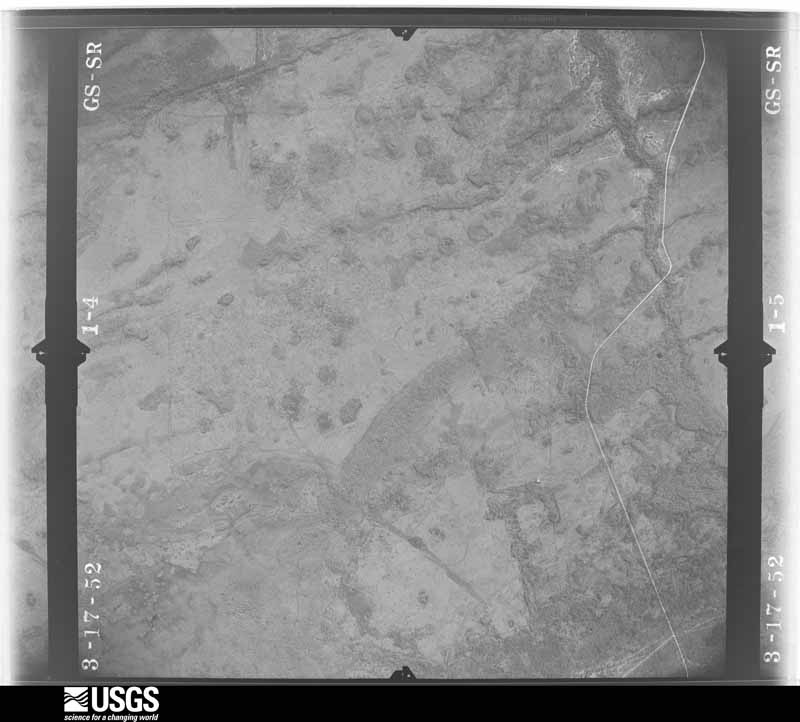
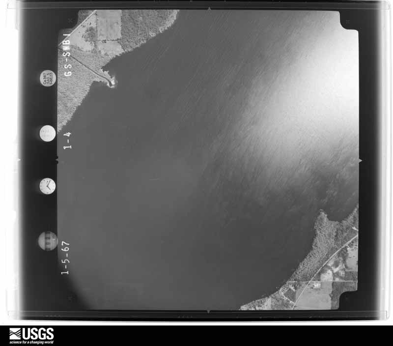
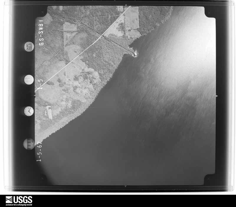
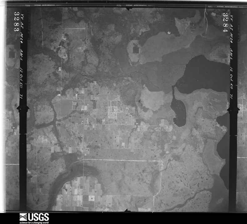
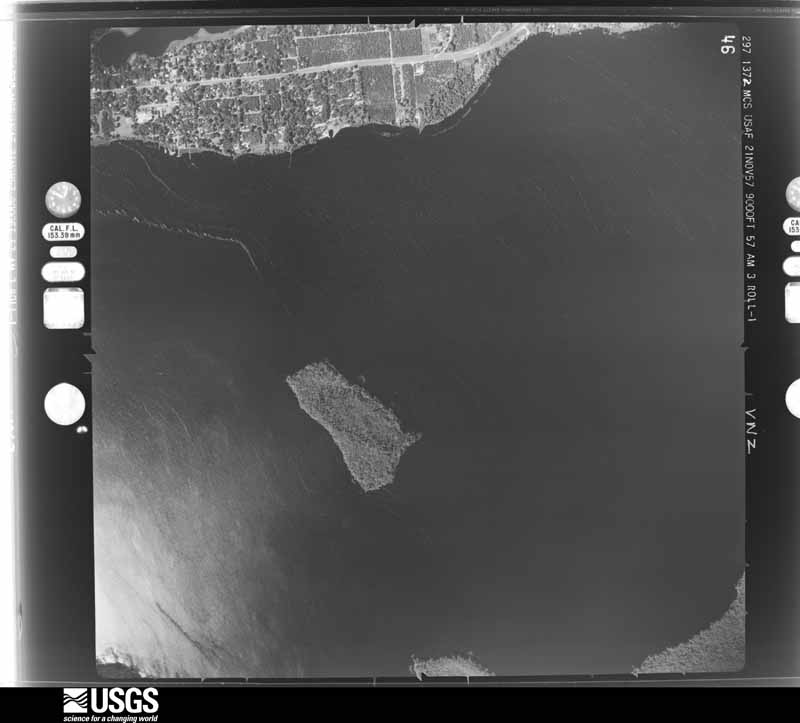
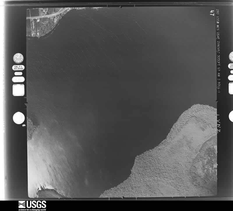
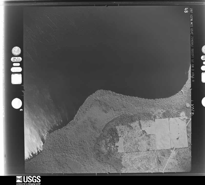
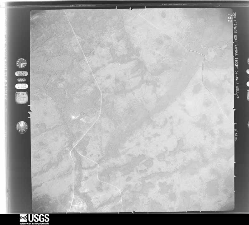
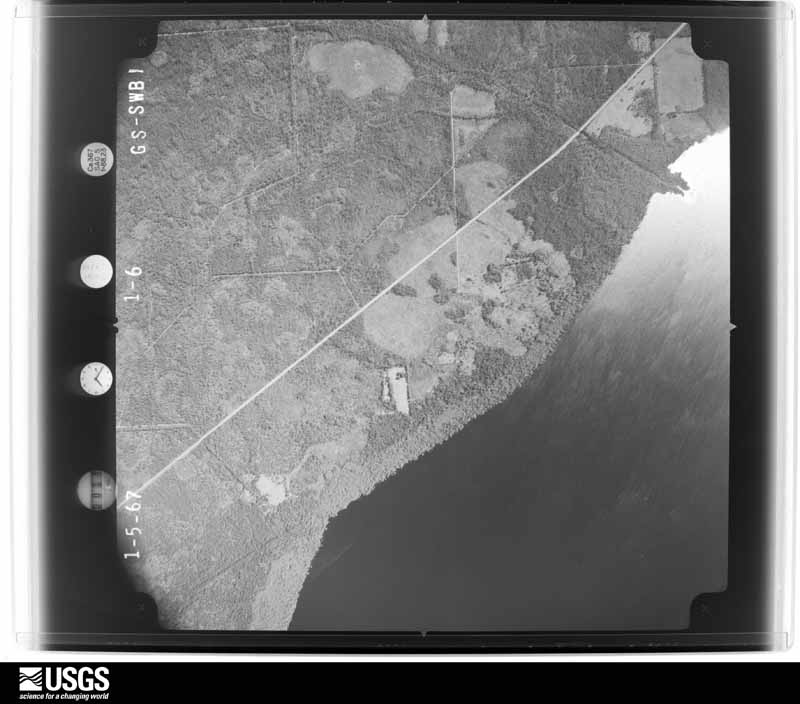
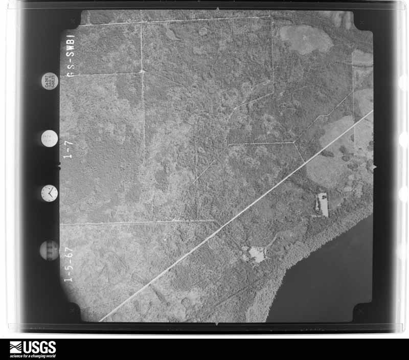
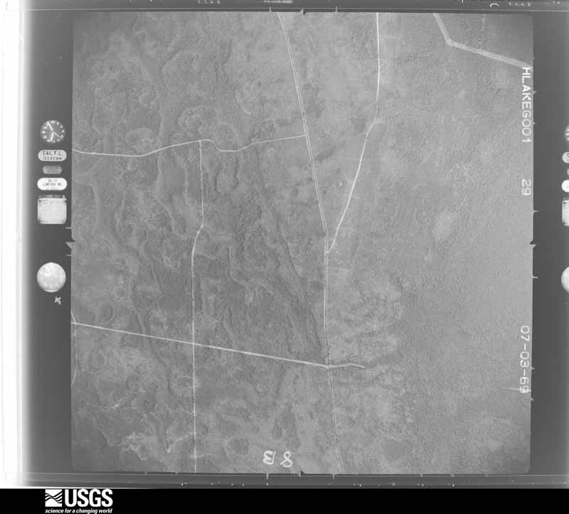
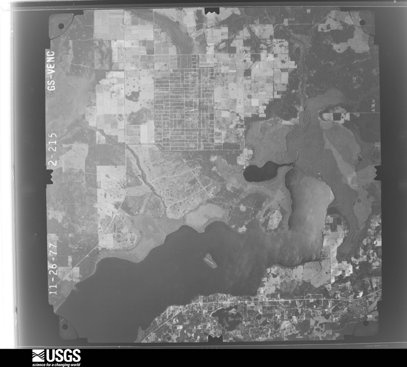
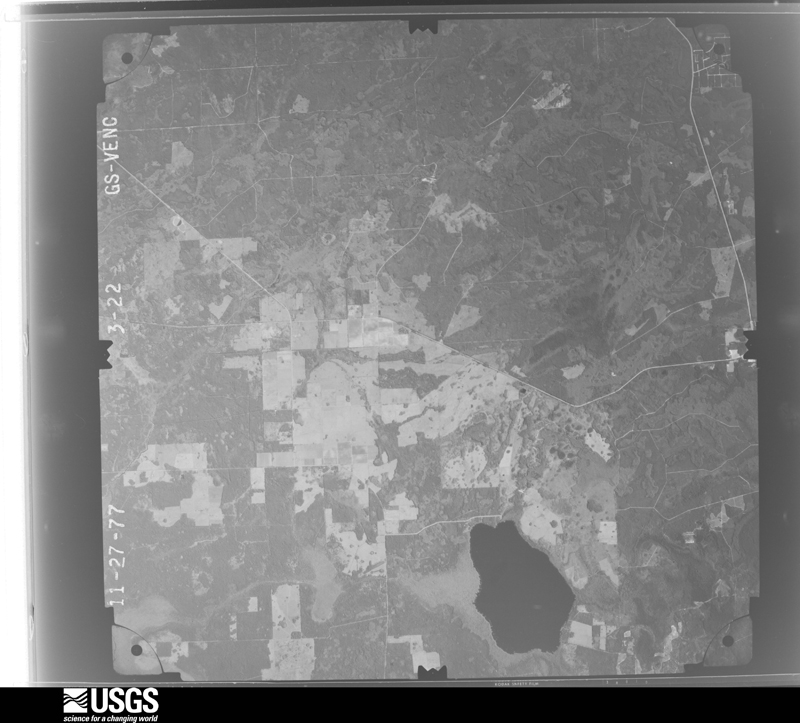
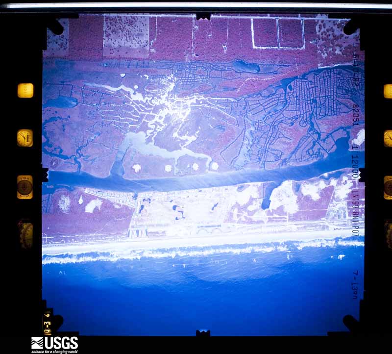
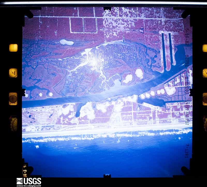
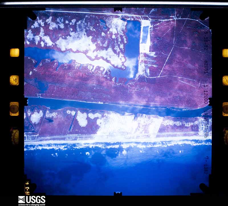
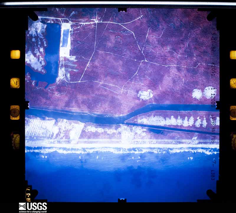
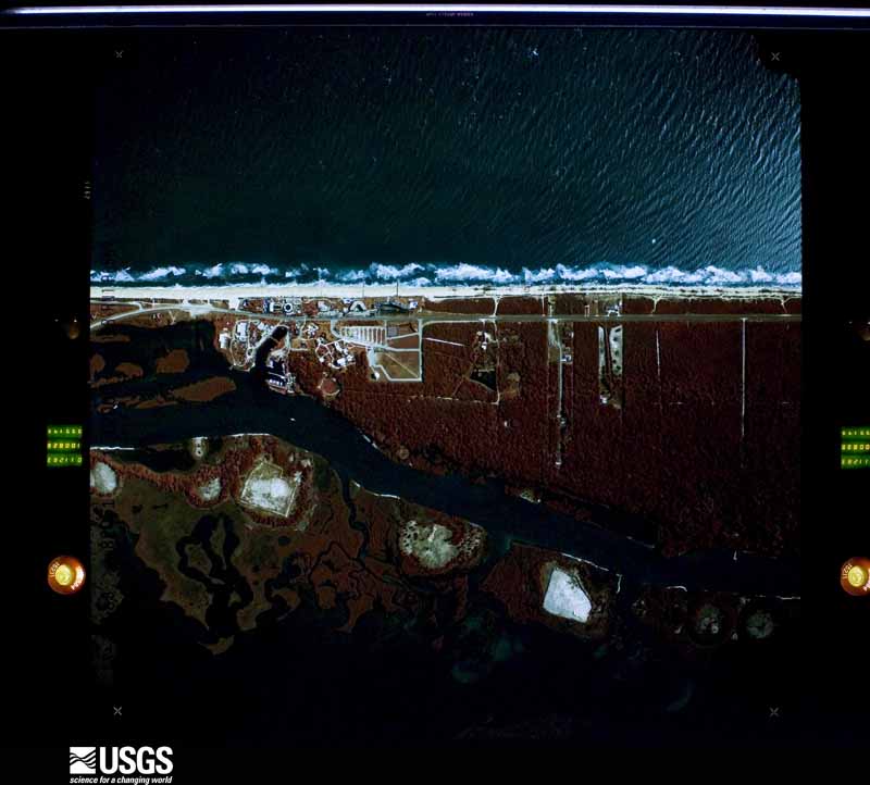
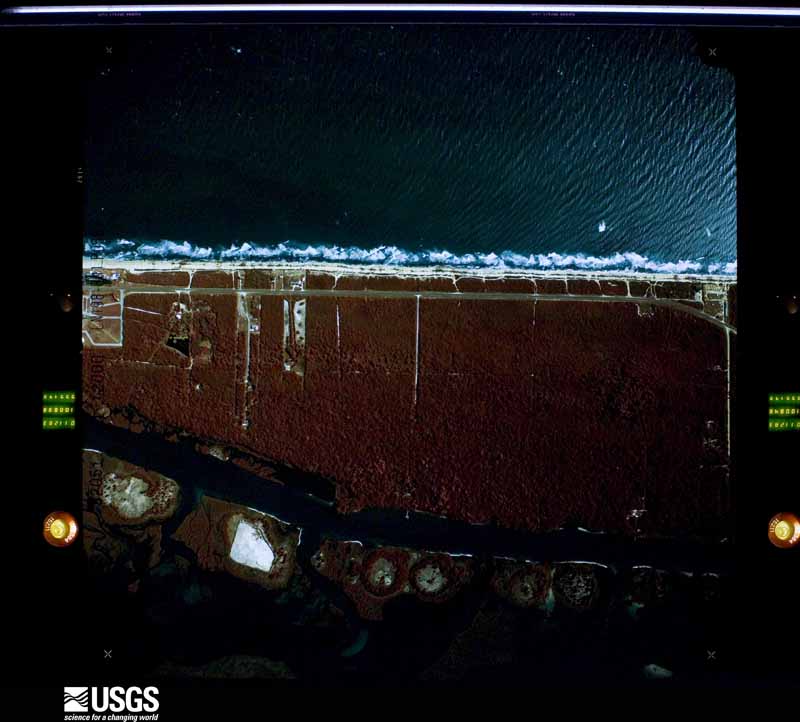
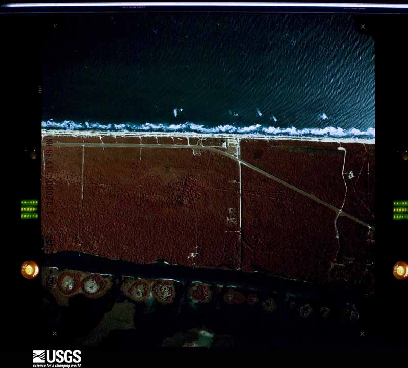
Flown by the U.S. Geological Survey between 1937 and 1989, the Aerial Photo Single Frames collection is the definitive mid-century view of the land: fields, roads and rivers as the camera saw them. The Survey holds 780 frames inside the rectangle that bounds this county; the 36 frames below were taken over the county itself, chosen across the decades of flights (at most four a year from that rectangle), so one flight cannot crowd out the rest. The full set is free to browse and download at EarthExplorer under the dataset Aerial Photo Single Frames.
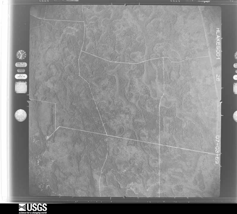
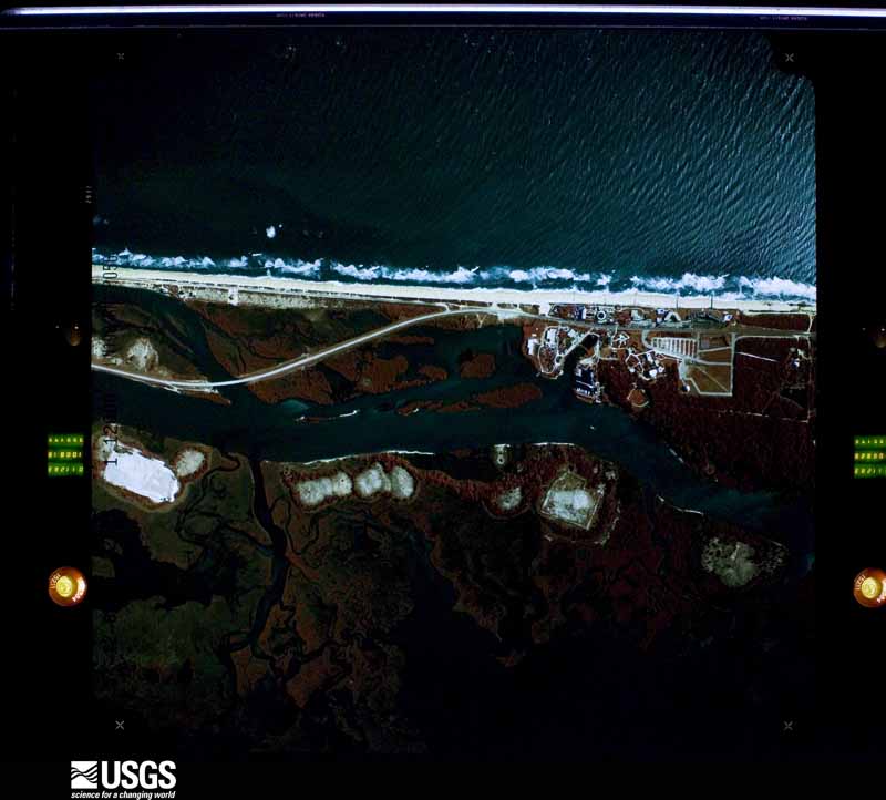
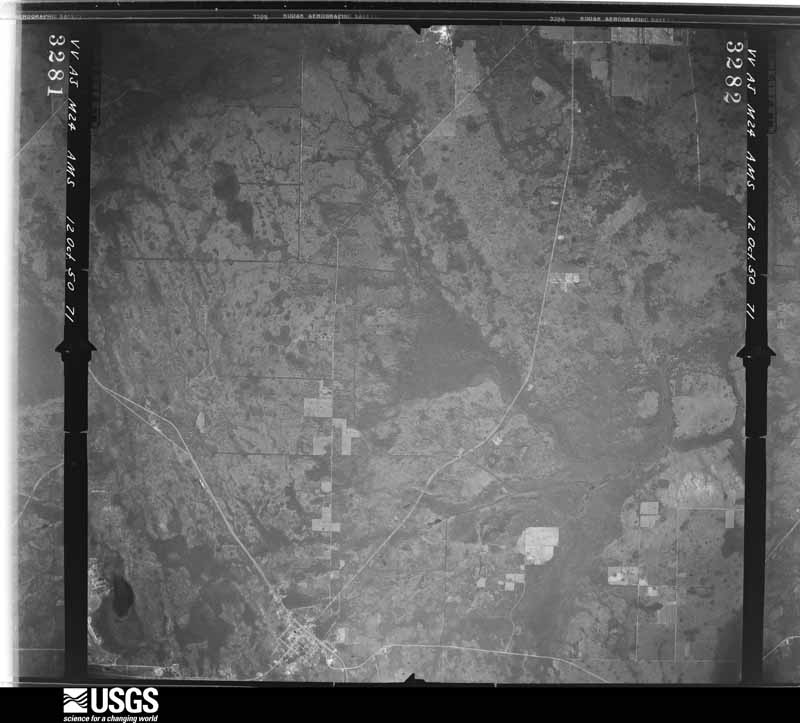
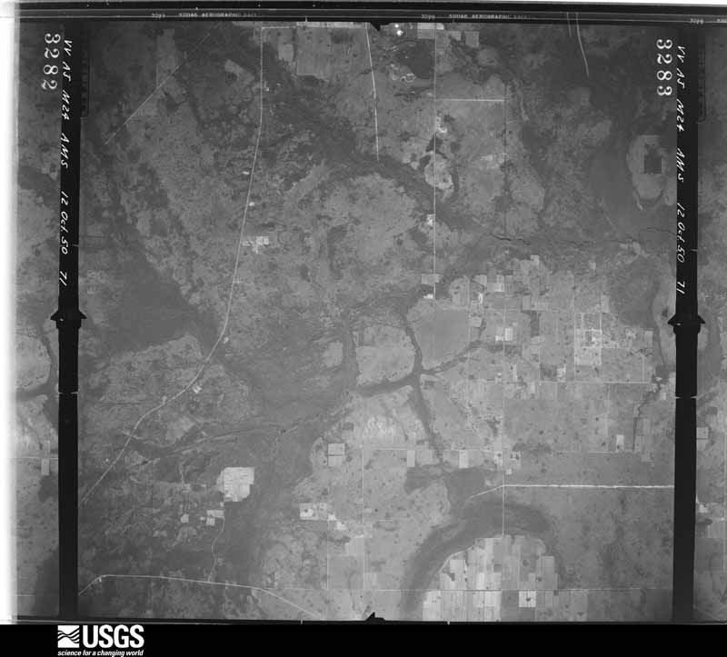
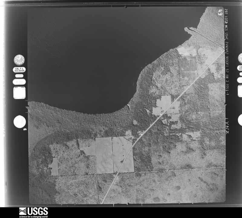
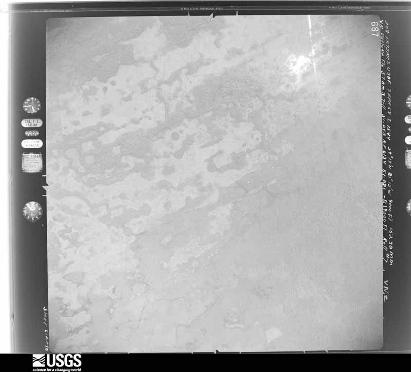
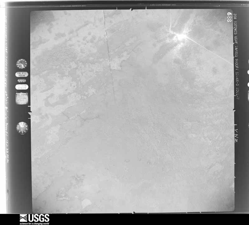
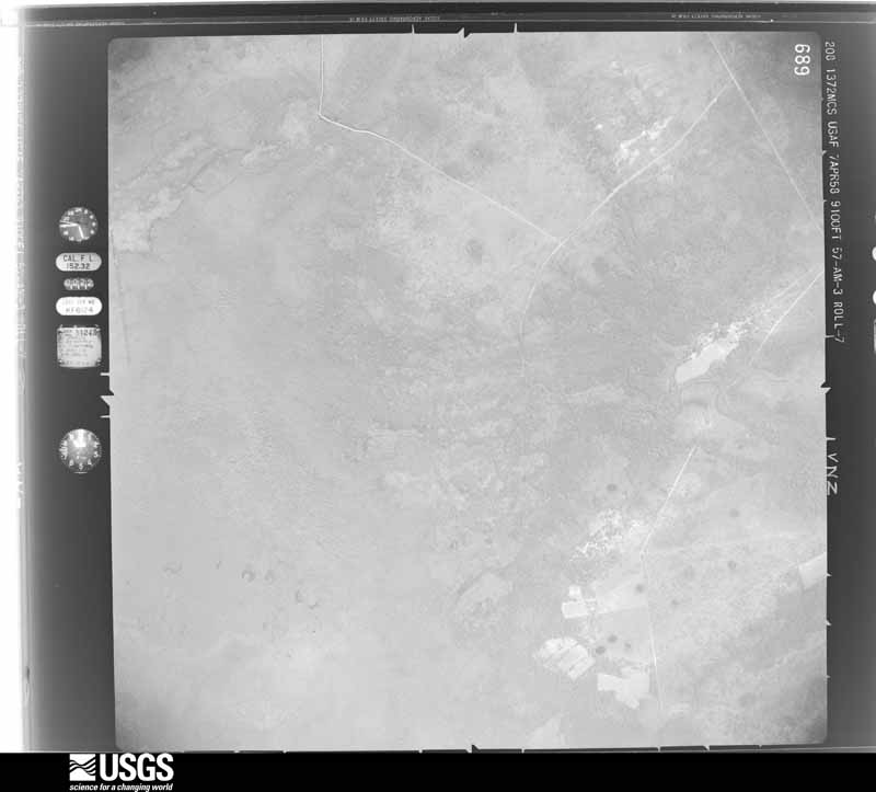
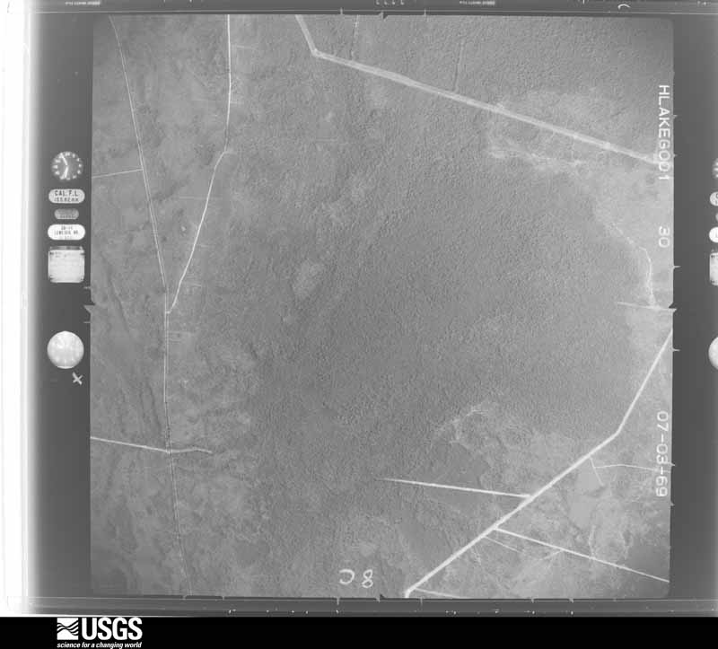
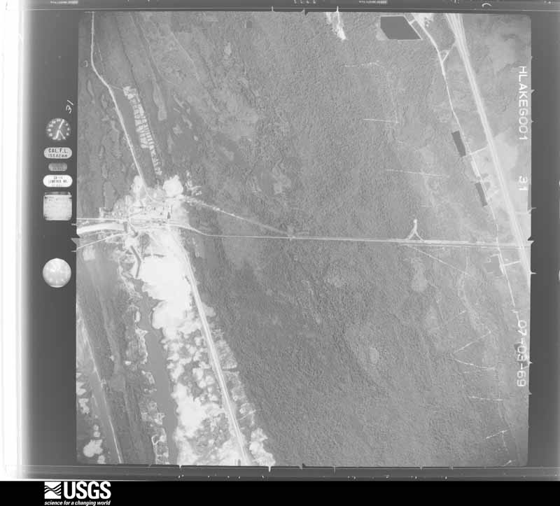
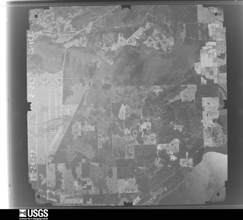
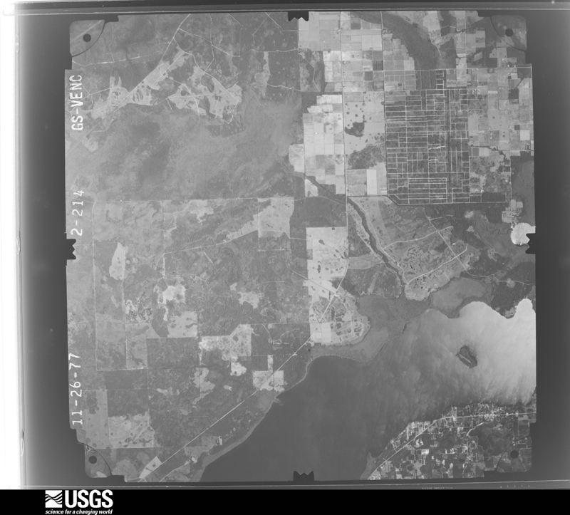
The thermometers that kept this county's weather, and the gages that measured the flow of its streams, as the federal records hold them. The extremes below are measured values from those records, not estimates.
Who lived here in 1950, one enumeration district at a time, as the Census Bureau described each district. Each row opens its official National Archives result, with Population Schedules and ED Maps available there.
Every wildfire the federal occurrence database records inside this county: 1,585 of them, burning about 65,415 acres. 885 started naturally and 99 were recorded as arson. Each settlement page carries the fires within five miles of it.
| Reported cause | Fires |
|---|---|
| Natural | 885 |
| Missing data/not specified/undetermined | 193 |
| Equipment and vehicle use | 172 |
| Arson/incendiarism | 99 |
| Railroad operations and maintenance | 71 |
| Debris and open burning | 60 |
| Misuse of fire by a minor | 51 |
| Power generation/transmission/distribution | 24 |
| Recreation and ceremony | 13 |
| Other causes | 10 |
| Fireworks | 4 |
| Smoking | 3 |
The five largest, by the area the report gives. One of them was set deliberately.
| Date | Cause | Size | Reported by | Name on the report |
|---|---|---|---|---|
| 20 June 1998 | Natural | 26,900 acres | Florida Forest Service | WARE FIRE |
| 1 May 2007 | Arson/incendiarism | 6,575 acres | Florida Forest Service | WF AIRPORT ROAD |
| 30 May 2011 | Natural | 5,136 acres | Florida Forest Service | ESPANOLA (18) |
| 30 June 1998 | Debris and open burning | 4,000 acres | Florida Forest Service | not named |
| 15 June 1998 | Natural | 3,950 acres | Florida Forest Service | not named |
| 19 June 1998 | Natural | 3,800 acres | Florida Forest Service | not named |
| 6 June 1998 | Missing data/not specified/undetermined | 1,167 acres | Florida Forest Service | not named |
| 2 March 2013 | Missing data/not specified/undetermined | 1,118 acres | Florida Forest Service | DURRANCE (18) |
Every settlement page carries the fires within five miles of it - see the settlement index below.
The NOAA Storm Events Database holds 759 reports for this county, causing 1 death, 11 injuries and about $8,655,700 in recorded property damage. Each settlement page carries the reports that name it.
| Kind of event | Reports |
|---|---|
| Thunderstorm Wind | 295 |
| Heavy Rain | 165 |
| Hail | 117 |
| Funnel Cloud | 49 |
| Lightning | 41 |
| Flood | 38 |
| Tornado | 28 |
| Flash Flood | 11 |
| Waterspout | 7 |
| Wildfire | 6 |
| Rip Current | 2 |
The most serious of them, by death, then injury, then recorded damage. The accounts are quoted exactly as the forecast office filed them.
| When | Event | Place named | Harm | What the report says |
|---|---|---|---|---|
| August 1998 | Rip Current | Flagler Beach | 1 killed | Location: Crescent Beach Boat Ramp |
| July 2009 | Lightning | Flagler Beach | 4 hurt | Lightning struck the construction crane on the Flagler Beach Pier. Four workers received a slight electric jolt. |
| July 1998 | Wildfire | Bunnell | 2 hurt | 75,000 acres, 51 homes destroyed, 179 damaged. Twelve vehicles destroyed or damaged. Mandatory evacuation. |
| June 2001 | Thunderstorm Wind | Beverly Beach | 1 hurt, $4,000 | Large trees and power lines were blown down. A mobile home was damaged. |
| July 2014 | Lightning | Indian Trails | 1 hurt | A 19 year old male was struck by lightning sitting in a chair inside an outdoor tent about 2 miles WSW of Palm Coast. The victim has to be resuscitated and hospitalized due to injuries from the lightning strike at least 6 days after the strike. |
| August 2009 | Lightning | Flagler Beach | 1 hurt | Lightning struck a 12 year old male near the Flagler Beach Pier. He was struck unconcious and partially paralyzed. He was air-lifted to a trama center. |
| September 2001 | Lightning | Bunnell | 1 hurt | Lightning damaged one home. |
| June 2005 | Lightning | Bunnell | 1 hurt | no account filed |
| December 2013 | Tornado (EF1) | Espanola | $5,000,000 | During the evening hours, between 655 pm and 710 pm EST on December 14, 2013, a tornado with maximum strength of EF1 on the Enhanced Fujita Scale touched down and crossed the northern sections of Palm Coast in Flagler County Florida. The tornado initially touched down north of Espanola on an intermittend track. The tornado then intensified to its maximum strength of 95 to 110 across the B section (Indian Trails and Pine Lakes neighborhoods) and western F sections of Palm Coast on a continuous path ranging in width from approximately 75 yards to a maximum of around 150 yards on Bannbury Lane. The tornado weakened as it moved northeast toward the coast with a path width of 25 to 50 yards across the eastern F section and Hammock area. ||The location of the initial touchdown was near 29.52 degrees north latitude and 81.31 degrees west longitude. The location of the final damage was near 29.61 degrees north latitude and 81.19 degrees west longitude. The total distance between the initial touchdown and final damage was approximately 9.5 miles with the longest continuous path approximately 1 mile in the B section of Palm Coast. ||Media reported 7 homes were destroyed and more than 150 damaged when the tornado struck Palm Coast. Palm Coast city officials stated that 142 homes were partially damaged in the Indian Trails neighborhood and 22 homes had moderate damage. The damage was estimated at more than $5 million. No injuries were reported. The area was cluttered with downed trees and house debris. The tornado downed power lines, blew out windows, knocked down trees and power poles and ripped away roof shingles. |
| September 2001 | Flash Flood | Countywide | $1,900,000 | TS Gabrielle. NWS CO-OP observer network reported storm totals of 7.65 inches in Palm Coast. Numerous roads were closed. |
| March 1993 | Thunderstorm Wind | not stated | $500,000 | Strong thunderstorm winds ripped off roofs and patios, uprooted trees and blew down power lines in Bunnell, Palm Coast, and Flagler Beach. |
| August 1983 | Tornado (F1) | not stated | $250,000 | no account filed |
| November 1983 | Tornado (F2) | not stated | $250,000 | no account filed |
| August 2003 | Lightning | Bunnell | $75,000 | Lightning strike destroyed a 1,200 square foot section of a decorative outer brick wall on the back edge of Buddy Taylor Middle School, near the gymnasium. Bricks fell on a school walkway. |
| August 2011 | Lightning | Palm Coast Town Center | $50,000 | Lightning caused a house fire off of Edge Road Lane in Palm Coast. As of 0730 pm LST, the fire was still active. The cost of damage was estimated. |
| March 2000 | Thunderstorm Wind | Bunnell | $50,000 | Two barns destroyed. Farm tractor damaged. |
| July 2001 | Lightning | Bunnell | $35,000 | Damaged a house in Palm Coast. |
| March 2011 | Thunderstorm Wind | Palm Coast | $30,000 | Thunderstorm downburst winds were first reported at 443 pm EDT in northeast Palm Coast when a 62 mph wind gust was measured. Pool screens were damaged and dime size hail was observed. At 444 pm, a tree was blown down onto a home along Richard Drive and reports of power lines blown down were received. By 445 pm, emergency management received reports of a roof blown off a mobile home on Starboard Drive, a tree on a home along Richland Lane, and multiple trees and electrical wires blown down in the Leigh Woods section of Palm Coast. No injuries were reported. The cost of total damage was estimated. |
| June 2001 | Thunderstorm Wind | St Johns Park | $25,000 | Barn roof blown off. |
| June 1998 | Thunderstorm Wind | Bunnell | $25,000 | Large trees were blown down. One mobile home destroyed. |
| December 1987 | Tornado (F0) | not stated | $25,000 | no account filed |
| March 1986 | Tornado (F0) | not stated | $25,000 | no account filed |
| July 1970 | Tornado (F2) | not stated | $25,000 | no account filed |
| July 2022 | Lightning | Pine Lakes | $20,000 | Palm coast fire department responded to a house fire that was caused by a lightning strike. The attic caught fire and fire department was able to put the fire out. Radar estimated time. |
| June 2008 | Thunderstorm Wind | Marineland | $20,000 | Marineland reported a large tent was destroyed and rooftop air conditioners were also damaged in the storm. |
| September 2012 | Thunderstorm Wind | Palm Coast | $17,500 | Three houses were damaged by a small mircoburst in Palm Coast on Campbell Court. Winds were estimated between 45 and 55 mph. The cost of damage was estimated between 15 and 20 thousand dollars. |
| August 2013 | Lightning | Roy | $15,000 | Lightning struck a home in north Jacksonville around 11 am EDT, which sparked an electrical fire inside the home. A trench was visible where the bolt traced the roots to an air-conditioning unit and into the homes electrical circuitry. The cost of damage was estimated at $15K. |
| June 2007 | Lightning | Mantanzas | $15,000 | A lightning strike caused major damage to a home in Seminole Woods, a subdivision in Palm Coast. A radio antenna and dish were destroyed. Some stucco was removed from the side of the home and numerous holes were noted in the roof. Most of the electronic equipment in the home was inoperable after the strike. The damage amount is an estimate. |
| March 2001 | Thunderstorm Wind | Bunnell | $15,000 | Roof damage in Palm Coast. 20,000 electric customers without service. |
| July 2020 | Thunderstorm Wind | Palm Coast Parkway | $10,000 | A tree fell on a home which caused roof damage near Fischer Lane and Flamingo Drive. The cost of damage was unknown but it was estimated for inclusion of the event in Storm Data. |
| August 2018 | Lightning | Pine Lakes | $10,000 | A fire was caused by a lightning strike on Palm Lakes Parkway in Palm Coast. The cost of damage was unknown, but it was estimated for inclusion of the event in Storm Data. |
| September 2014 | Flash Flood | Daytona North | $10,000 | Training, slow moving showers and thunderstorms within a onshore flow caused flash flooding in the Palm Coast area of Flagler County. Rainfall started in the early afternoon, when a spotter in Palm Coast reported 3.56 of rainfall within 3 hours between 12-3 pm. By 3:55 pm, several vehicles and a school bus were stranded in water over the roadway in the western section of Palm Coast. By 4:15 pm, 4.41 inches of rainfall was measured within 3 hours on Bannerword Lane in Palm Coast. Later that evening around 9 pm, county officials reported the road was washed out at the intersection of Hickory and Walnut Streets to the intersection of Walnut and Fig Streets in Bunnell. Several roads in the W-Section of Palm Coast including Woodward Lane, Woodside Drive, Woodshire Land and the north end of Woodhaven Drive were closed due to flooded roads. At 10:35 pm, observation stations in west Palm Coast measured 5.83-5.88 of rainfall within 12 hours. At 10:48 pm, the county EM reported about 2 feet of standing water along portions of Florida Pack Drive in Palm Coast. About 6 structures had minor damage from flood waters. The cost of damage was unknown, and it was estimated for this event to be included in Storm Data. |
| September 2002 | Thunderstorm Wind | Flagler Beach | $10,000 | Single large tree fell on house. |
| March 2001 | Thunderstorm Wind | Bunnell | $10,000 | Large trees were blown down. One structure damaged. |
| February 1998 | Flash Flood | Flagler Beach | $10,000 | A1A completely covered by water. Three other roads were under water. |
| December 1997 | Flash Flood | Countywide | $10,000 | no account filed |
| March 1996 | Thunderstorm Wind | Marineland | $6,000 | no account filed |
| September 1999 | Flash Flood | Countywide | $5,500 | Numerous streets and roads were flooded. |
| June 2015 | Lightning | Palm Coast Town Center | $5,000 | A home was hit by lightning. The cost of damage was unknown, but it was estimated for this event to be included in Storm Data. |
| July 2013 | Lightning | Flagler Beach | $5,000 | Lightning caused a house fire on South Central Ave in Flagler Beach. There were no injuries. The cost of damage was estimated for event inclusion in Storm Data. |
| August 2013 | Lightning | Korona | $5,000 | A home at 17 Wilderness Way in the Bulow area was struck by lightning. It caused a hole in the roof. The cost of damage was estimated. |
| August 2012 | Thunderstorm Wind | Bunnell | $5,000 | A tree fell on a vehicle south of Bunnell due to strong thunderstorm winds. The cost of damage was unknown but estimated for inclusion of the event in Storm Data. |
| July 1999 | Lightning | Countywide | $5,000 | Several brush fires. |
| June 1994 | Thunderstorm Wind | Flager Beach | $5,000 | Roof was blown off a mobile home in Flagler Beach and numerous trees and power lines down, mainly in the north and east parts of Flagler County. |
| August 1993 | Thunderstorm Wind | Beverly Beach | $5,000 | Strong thunderstorm winds blew off a carport roof. |
| July 2001 | Thunderstorm Wind | Bunnell | $3,500 | Large trees and power lines were blown down. |
| June 2000 | Thunderstorm Wind | Mantanzas | $3,500 | Large trees and power lines were blown down. |
| July 1999 | Flash Flood | Bunnell | $3,500 | Flooding in SR 100. |
| January 1996 | Thunderstorm Wind | Palm Coast | $3,500 | no account filed |
| August 2022 | Thunderstorm Wind | St Johns Park | $3,000 | Florida power and light reported fallen trees and damage to utility equipment on the south side of Daytona North. The time of damage was estimated by radar. |
| April 2018 | Thunderstorm Wind | Palm Coast | $3,000 | Several trees were blown down between Palm Coast and Flagler Beach, however, EM reported overall minor damage. There was minor damage done to signs and a few buildings. The cost of damage was unknown, but it was estimated for the event to be included in Storm Data. |
| March 2016 | Lightning | Palm Coast | $3,000 | A transformer was struck by lightning in Palm Coast. Power outages occurred in the area. The cost of damage was estimated. |
| August 2015 | Thunderstorm Wind | Flagler Beach | $3,000 | About 1600 customers were without power due to damage to power lines from thunderstorm winds. The cost of damage was estimated. |
| March 2012 | Thunderstorm Wind | Bunnell | $3,000 | Strong downburst winds caused structural damage and significant tree damage along Bacher Street in Bunnell. Large trees were blown down and damaged lanais, fencing and outdoor equipment. The cost of damage was estimated. |
| March 2012 | Thunderstorm Wind | Bunnell | $3,000 | A tree fell on a house and car along South Moore Steet, about 1 mile east of Bunnell. The cost of damage was estimated. |
| July 1997 | Thunderstorm Wind | Flagler Beach | $3,000 | Large trees and power lines were blown down. |
| June 1995 | Thunderstorm Wind | Codys Corner | $3,000 | Severe thunderstorm winds blew down trees, power lines and several metal sheds in Codys Corner. |
| September 2001 | Thunderstorm Wind | St Johns Park | $2,500 | Large trees and power lines were blown down. |
| August 2000 | Thunderstorm Wind | Espanola | $2,500 | Large trees and power lines were blown down. |
| July 1999 | Thunderstorm Wind | Bunnell | $2,500 | Large trees and power lines were blown down. |
The Survey's mineral resources record lists 6 workings inside this county. 1 still produces and 5 are closed or unrecorded. Each settlement page carries the workings within five miles of it.
| Commodity | Workings |
|---|---|
| Clay | 3 |
| Sand | 2 |
| Limestone, General | 1 |
The least common of them first, because a county's hundredth gravel pit says nothing its first ten did not.
| Where | Site | Commodity | Status | Recorded |
|---|---|---|---|---|
| Flagler Co. Rd. and Bridge - I-95 Pit | Limestone, General | Producer | Limestone | |
| Dot Deland - Itt Mine | Sand | Unknown | ||
| Self Trucking, Inc. - Bucksking Mine | Sand | Unknown | ||
| Robert's Ed Clay Deposit | Clay | Past Producer | ||
| Unnamed Clay Prospect | Clay | Occurrence | ||
| Unnamed Clay Prospect | Clay | Occurrence |
Named settlements recorded in the Geographic Names Information System, each with the topographic sheets covering it. Villages, hamlets and abandoned places alike. Each is shown with the nearest named watercourse or landform and the survey quadrangle it falls on.
Bunnell census division · 32110 · On Salt Creek · Saint Johns Park quadrangle
10 sheets, 1954 to 1978
Flagler Beach census division · 32136 · Beverly Beach quadrangle
14 sheets, 1927 to 1981
Bunnell census division · 32110 · On Little Black Branch · Bunnell quadrangle
9 sheets, 1954 to 1978
Flagler Beach census division · 32137 · On Big Mulberry Branch · Beverly Beach quadrangle
14 sheets, 1927 to 1981
Flagler Beach census division · 32136 · Flagler Beach West quadrangle
14 sheets, 1937 to 1978
Flagler Beach census division · 32080 · On Pellicer Creek · Matanzas Inlet quadrangle
13 sheets, 1927 to 1981
Bunnell census division · 32110 · Near Bear Island · Dinner Island quadrangle
12 sheets, 1937 to 1981
Bunnell census division · 32110 · Near Honey Hill · Espanola quadrangle
14 sheets, 1937 to 1981
Flagler Beach census division · 32136 · Beverly Beach quadrangle
14 sheets, 1927 to 1981
Flagler Beach census division · 32137 · On Big Mulberry Branch · Beverly Beach quadrangle
14 sheets, 1927 to 1981
Bunnell census division · 32110 · On Bull Creek · Saint Johns Park quadrangle
10 sheets, 1954 to 1978
Bunnell census division · 32110 · On Salt Creek · Dinner Island quadrangle
12 sheets, 1937 to 1981