 Block
BlockRattlesnake, Florida
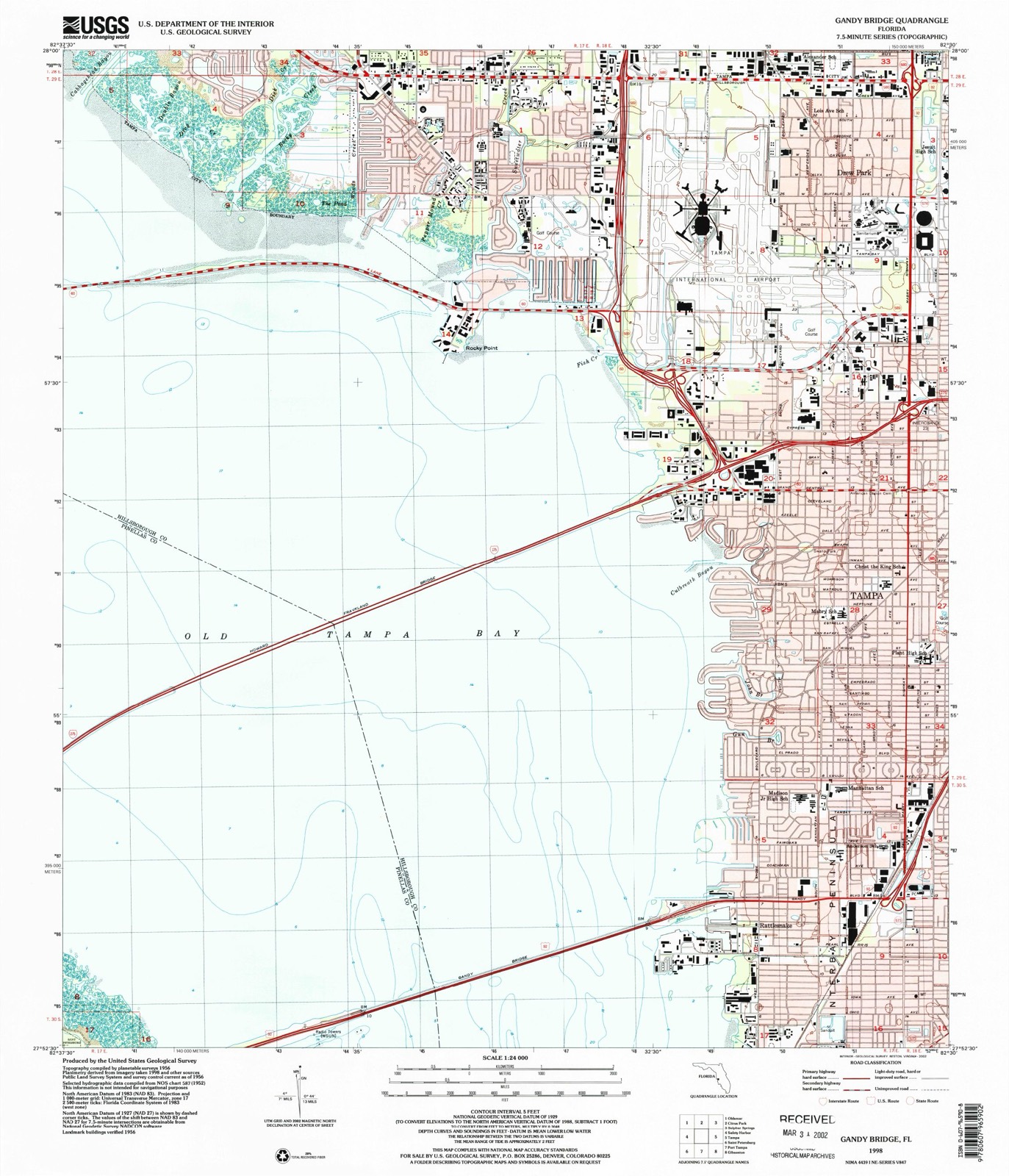
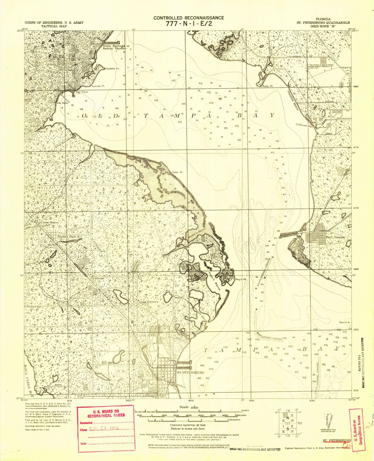
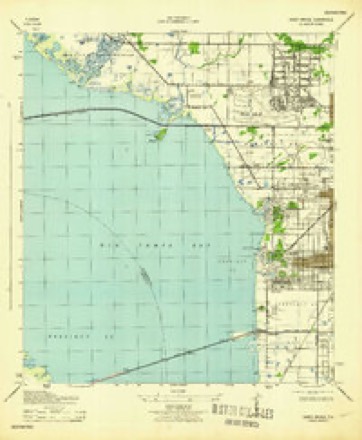
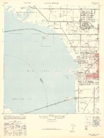
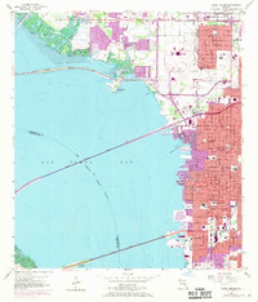
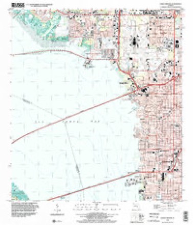
20 topographic sheets cover this place, the earliest surveyed in 1921 and the latest in 1998. It stands in the Tampa census division. It lies in ZIP code area 33611. The Survey maps it on the Gandy Bridge quadrangle.
Then and now
1921 to 1998The same ground, surveyed 77 years apart. Drag the handle to wipe between them. Both sheets are United States Geological Survey originals; neither has been altered.
Compare 1921 against another survey:
Topographic sheets covering this place
12 surveys from 20 printed sheetsMatched by testing this settlement's coordinate against the published boundary of every sheet in the United States Geological Survey's historical collection. Each opens the scanned sheet at the Survey.
- 1921 USGS St Petersburg quadrangle1:62500
- 1921 USGS St. Petersburg quadrangle1:62500
- 1943 USGS Gandy Bridge quadrangle1:31680
- 1947 USGS Gandy Bridge quadrangle1:24000, 2 printings
- 1956 USGS Gandy Bridge quadrangle1:24000, 6 printings
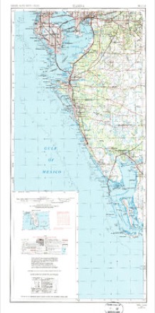
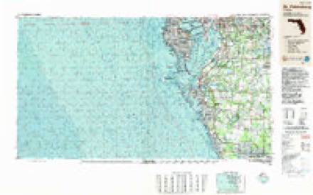
- 1956 USGS Tampa quadrangle1:250000, 2 printings
- 1959 USGS Tampa quadrangle1:250000
- 1960 USGS Tampa quadrangle1:250000, 2 printings
- 1972 USGS Tampa quadrangle1:250000
- 1981 USGS St Petersburg quadrangle1:100000
- 1988 USGS St Petersburg quadrangle1:250000
- 1998 USGS Gandy Bridge quadrangle1:24000
Fires near this place
4 since 1993Regional context, not property-specific evidence. The federal wildfire occurrence database lists 4 fires within 5 miles of Rattlesnake between 1993 and 2016, burning about 83 acres in total. None started naturally. 1 was recorded as arson. Distance is straight-line from the map coordinates, so a fire counted here may appear on a neighbouring settlement's page as well.
| Reported cause | Fires |
|---|---|
| Missing data/not specified/undetermined | 1 |
| Railroad operations and maintenance | 1 |
| Arson/incendiarism | 1 |
| Misuse of fire by a minor | 1 |
The most recent of them, most recent first, with the day each was reported and the service that recorded it.
| Date | Cause | Size | Reported by | Name on the report |
|---|---|---|---|---|
| 30 May 2007 | Missing data/not specified/undetermined | 18 acres | Florida Forest Service | 29 COMMERCE CMD |
| 18 May 1993 | Railroad operations and maintenance | 45 acres | Florida Forest Service | not named |
| 9 April 1994 | Misuse of fire by a minor | 15 acres | Florida Forest Service | not named |
| 2 November 2016 | Arson/incendiarism | 5.0 acres | Florida Forest Service | WALL ST (29) |
Settlements close enough to share some of these fires:
Mines and quarries near this place
1 within 5 milesRegional context, not property-specific evidence. The federal mineral resources record lists 1 working within 5 miles of Rattlesnake: 1 plant. All of them still produce. What was taken out: Gypsum-Anhydrite. Distance is straight-line from the map coordinates, so a quarry counted here may appear on a neighbouring settlement's page as well.
| Where | Site | Commodity | Status | Recorded |
|---|---|---|---|---|
| National Gypsum Co/ Tampa, Fla. | Gypsum-Anhydrite | Plant |
Storms near this place
9 since 2008Regional context, not property-specific evidence. The National Weather Service names Rattlesnake in 9 storm reports between 2008 and 2020: 3 thunderstorm wind, 2 lightning, 2 flood, 1 tornado. No death or injury is recorded in these reports. Each account below is quoted exactly as the forecast office filed it, from the NOAA Storm Events Database, and each date opens the federal record of that event.
| When | Event | Place named | Harm | What the report says |
|---|---|---|---|---|
| March 2011 | Tornado (EF1) | Rattlesnake | $2,270,000 | Twenty nine residences and businesses suffered minor damage and six structures suffered major damage in the area around Interbay Boulevard. |
| July 2008 | Lightning | Rattlesnake | $150,000 | Lightning struck an apartment building on the 6300 block of South Mac Dill Avenue and started a fire which heavily damaged two units. Water used to put out the fire damaged another two units. |
| July 2018 | Lightning | Rattlesnake | $100,000 | Broadcast media reported on a fire that Tampa Fire Rescue suspected was caused by lightning. Residents reported seeing lightning strike a vacant condominium building, then later seeing smoke and fire coming out of the roof. The fire damaged two of the units in the condo. |
| January 2016 | Thunderstorm Wind | Rattlesnake | $5,000 | Broadcast media relayed a report of a large palm tree knocked down onto a residence. Additionally, a picture of a residence with roof damage in South Tampa was posted on social media. |
| February 2020 | Thunderstorm Wind | Rattlesnake | $4,000 | Four trees downed around home near Britton Plaza shopping center. |
| July 2013 | Thunderstorm Wind | Rattlesnake | $2,000 | A trained spotter reported numerous branches and small trees down in the vicinity of South Tampa. |
| September 2020 | Flood | Rattlesnake | - | Flooding on S Manhattan Ave between W Price Ave and W Gandy Blvd. Road is impassable. |
| September 2020 | Flood | Rattlesnake | - | Law Enforcement reports flooding on Sherwood Ave and West Paul Ave. |
| September 2014 | Heavy Rain | Rattlesnake | - | A CoCoRaHS observer in South Tampa measured 7.34 inches of rain during the 4 day period. |
Nearest settlements
The eight closest, with where each one stands in the county. Distances are straight-line, computed from the Geographic Names Information System coordinates.
| Map | Place | Distance | Sheets |
|---|---|---|---|
| Port Tampa | 1.8 miles | 20 | |
| Sunset Beach | 2.2 miles | 20 | |
| Palma Ceia | 2.7 miles | 17 | |
| West Tampa | 4.8 miles | 17 | |
| Tampa | 5.3 miles | 17 | |
| Port Sutton | 5.6 miles | 17 | |
| Drew Park | 6.5 miles | 20 | |
| Gary | 6.9 miles | 17 |
Provenance
This settlement is recorded in the Geographic Names Information System as feature 289479. The sheet list is computed by point-in-boundary test against the United States Geological Survey's historical topographic inventory. Both are works of the United States government and carry no copyright under 17 U.S.C. 105.
Wildfire. Short, Karen C. 2022. Spatial wildfire occurrence data for the United States, 1992-2020 [FPA_FOD_20221014]. 6th Edition. Fort Collins, CO: Forest Service Research Data Archive. https://doi.org/10.2737/RDS-2013-0009.6 Collected with United States Government funding and usable without additional permissions or fees.
Mines and quarries. USGS Mineral Resources Data System (MRDS) https://mrdata.usgs.gov/mrds/ A work of the United States government, no copyright under 17 U.S.C. 105.
Storms. NOAA National Centers for Environmental Information, Storm Events Database https://www.ncei.noaa.gov/stormevents/ A work of the United States government, no copyright under 17 U.S.C. 105. Narratives are quoted verbatim from the National Weather Service report and are not edited or summarised.