 Block
BlockSarasota, Florida
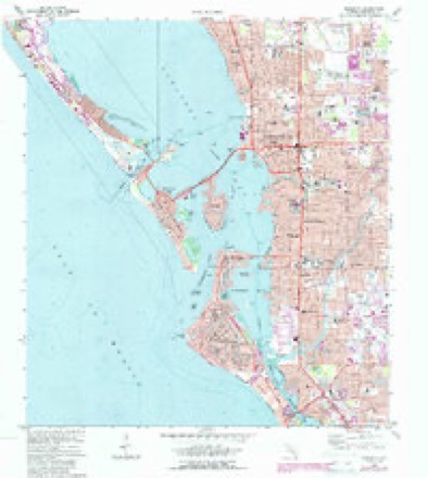
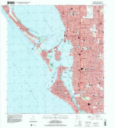
14 topographic sheets cover this place, the earliest surveyed in 1944 and the latest in 1994. It stands in the Sarasota census division. It lies in ZIP code area 34237. The Survey maps it on the Sarasota quadrangle. 54,842 people lived here at the 2020 count. It stands 23 feet above sea level.
Research this city
Then and now
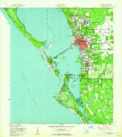
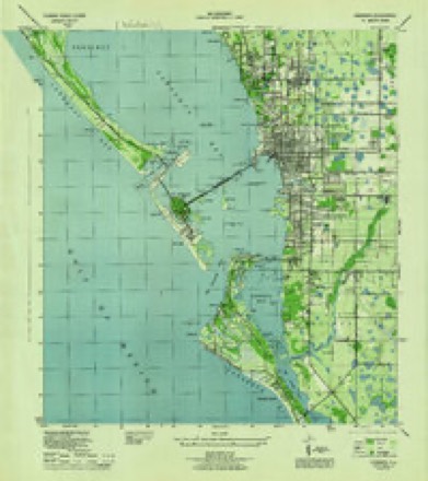
1944 to 1994The same ground, surveyed 50 years apart. Drag the handle to wipe between them. Both sheets are United States Geological Survey originals; neither has been altered.
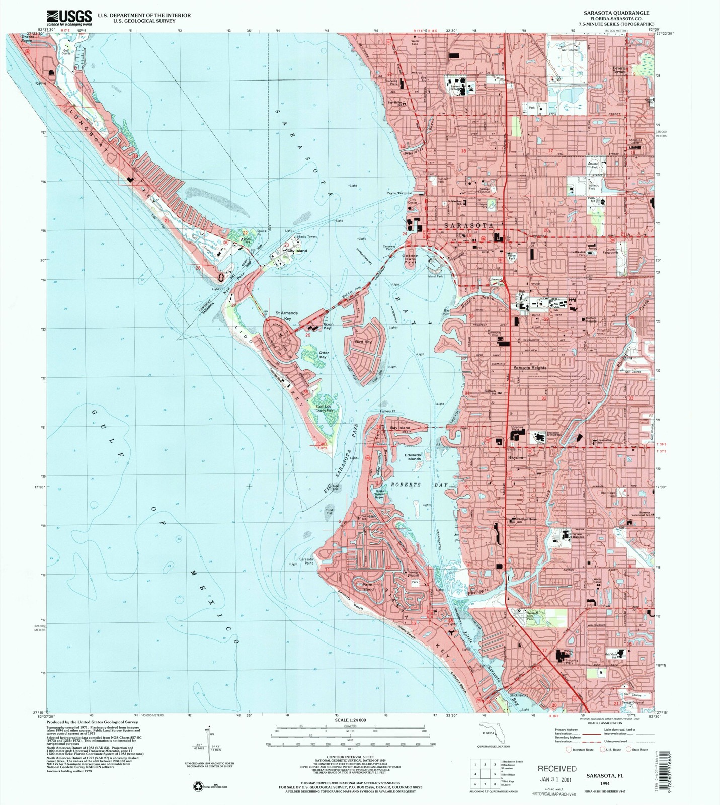
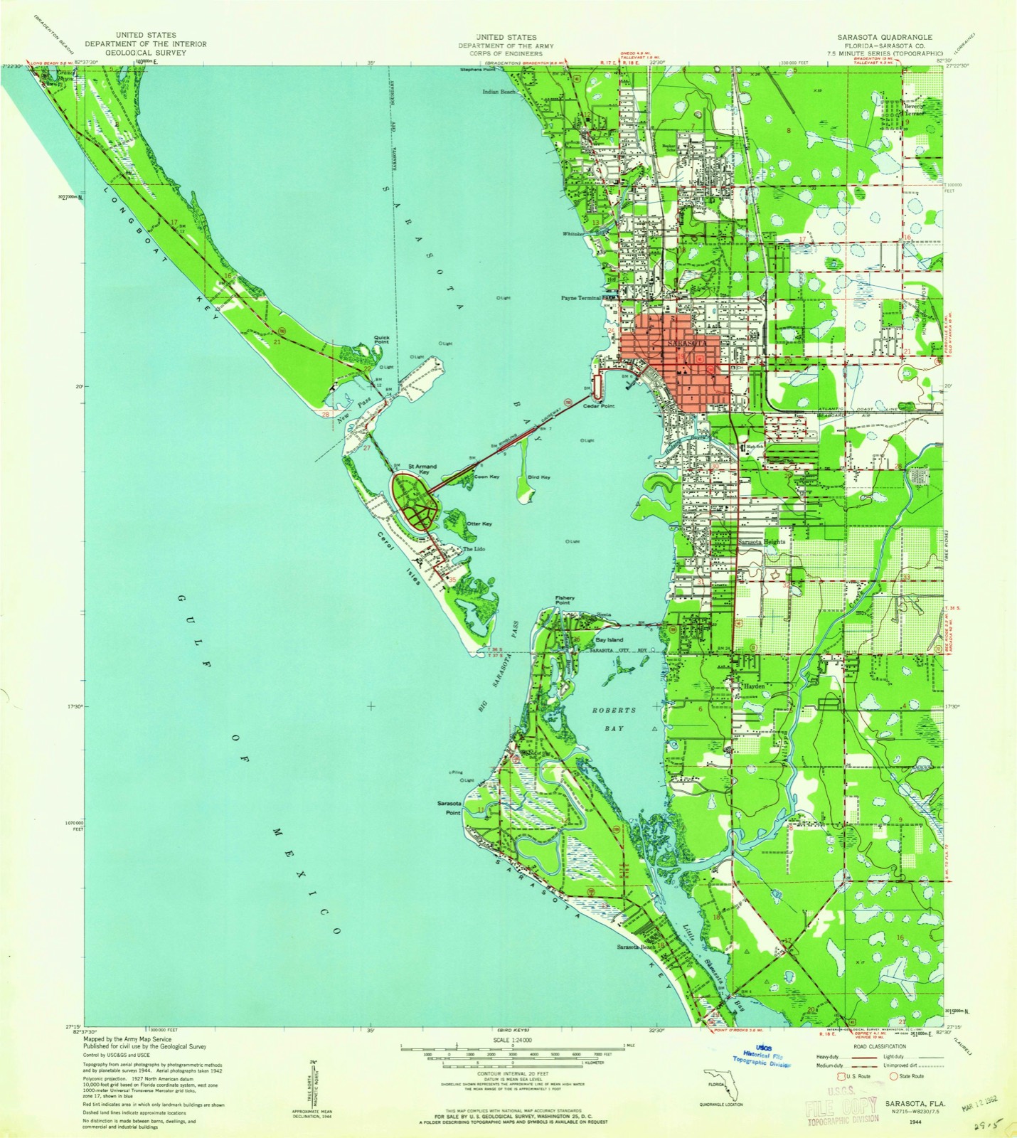
Compare 1944 against another survey:
On record in Sarasota
Buildings and businesses the archive holds for this place. Each opens its own page, with the source record it came from.
On the National Register 12 of 75 shown
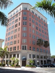 American National Bank Buildinglisted 1998
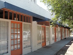 Appleby Buildinglisted 2001
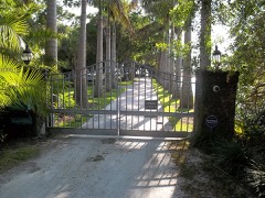 William Martin Armistead Houselisted 2009
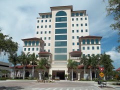 Atlantic Coast Line Passenger Depotlisted 1984
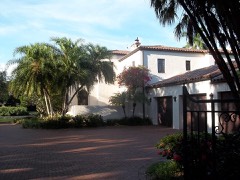 Bacheller-Brewer Model Home Estatelisted 1992
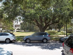 Bacon and Tomlin, Inc.listed 1984
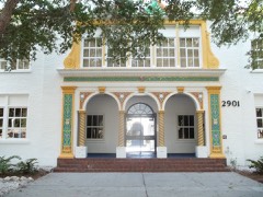 Bay Haven Schoollisted 1984
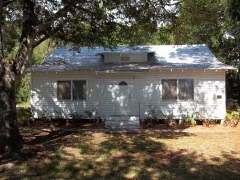 Bee Ridge Woman's Clublisted 1995
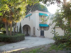 Frank and Matilda Binz Houselisted 1994
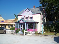 Bispham-Wilson Historic Districtlisted 2002
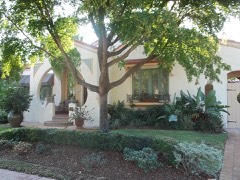 Bryson-Crane Houselisted 2005
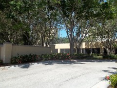 Burns Realty Company-Karl Bickel Houselisted 1987
Population over time
2 figuresSarasota grew from 51,917 to 54,842 between 2010 and 2020. These are the recorded population figures Wikidata holds for this place, reached through the Geographic Names Information System number this page is keyed on rather than by name, so they belong to this place and not to another of the same name. Most are census counts, but not all are: an early figure may be a founding or settlement estimate, and an estimate published within five years of a census is left out. The change column is computed, and is left blank where more than 20 years separate a figure from the one before it, because a gap that long is not a change between two counts.
| Year | People | Change |
|---|---|---|
| 2010 | 51,917 | |
| 2020 | 54,842 | +2,925 (+6%) |
Topographic sheets covering this place
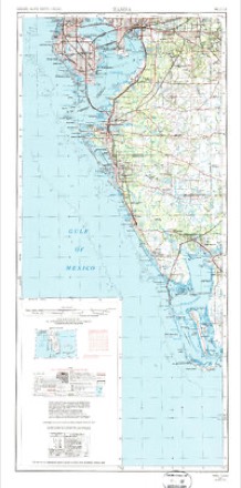
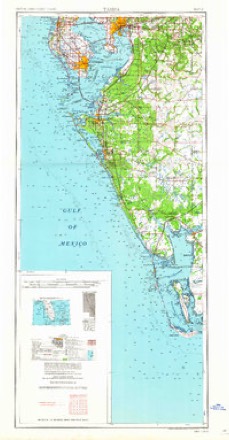
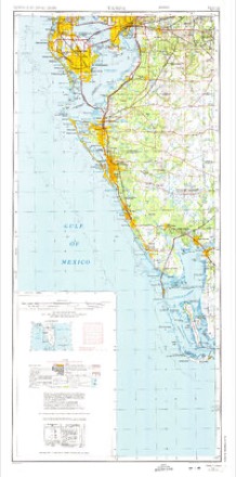
10 surveys from 14 printed sheetsMatched by testing this settlement's coordinate against the published boundary of every sheet in the United States Geological Survey's historical collection. Each opens the scanned sheet at the Survey.
- 1944 USGS Sarasota quadrangle1:24000
- 1944 USGS Sarasota quadrangle1:31680
- 1956 USGS Tampa quadrangle1:250000, 2 printings
- 1959 USGS Tampa quadrangle1:250000
- 1960 USGS Tampa quadrangle1:250000, 2 printings
- 1972 USGS Tampa quadrangle1:250000
- 1973 USGS Sarasota quadrangle1:24000, 3 printings
- 1979 USGS Sarasota quadrangle1:100000
- 1988 USGS St Petersburg quadrangle1:250000
- 1994 USGS Sarasota quadrangle1:24000
Fires near this place
23 since 1992Regional context, not property-specific evidence. The federal wildfire occurrence database lists 23 fires within 5 miles of Sarasota between 1992 and 2017, burning about 65 acres in total. 2 started naturally. 2 were recorded as arson. Distance is straight-line from the map coordinates, so a fire counted here may appear on a neighbouring settlement's page as well.
| Reported cause | Fires |
|---|---|
| Misuse of fire by a minor | 7 |
| Equipment and vehicle use | 5 |
| Recreation and ceremony | 2 |
| Missing data/not specified/undetermined | 2 |
| Natural | 2 |
| Arson/incendiarism | 2 |
| Railroad operations and maintenance | 1 |
| Power generation/transmission/distribution | 1 |
| Debris and open burning | 1 |
The most recent of them, most recent first, with the day each was reported and the service that recorded it.
| Date | Cause | Size | Reported by | Name on the report |
|---|---|---|---|---|
| 1 September 2017 | Arson/incendiarism | under an acre | Florida Forest Service | UNIVERSITY DESOTO (58) |
| 19 July 1993 | Misuse of fire by a minor | 25 acres | Florida Forest Service | not named |
| 15 July 1995 | Natural | 2.5 acres | Florida Forest Service | not named |
| 4 June 2000 | Equipment and vehicle use | under an acre | Florida Forest Service | not named |
| 27 May 2007 | Missing data/not specified/undetermined | under an acre | Florida Forest Service | 58-STRANGE PLANT FIRE-0317 |
| 15 May 2013 | Misuse of fire by a minor | 2.0 acres | Florida Forest Service | RICHARDSON RD. (58) |
| 29 April 2006 | Power generation/transmission/distribution | 3.5 acres | Florida Forest Service | 08-THE INTERSECTION FIRE-0324 |
| 26 April 2010 | Natural | 1.0 acres | Florida Forest Service | 41-TALLEVAST FIRE-0136 |
Settlements close enough to share some of these fires:
Mines and quarries near this place
2 within 5 milesRegional context, not property-specific evidence. The federal mineral resources record lists 2 workings within 5 miles of Sarasota: 1 occurrence, 1 plant. 1 still produces. What was taken out: Dolomite, Phosphorus-Phosphates. Distance is straight-line from the map coordinates, so a quarry counted here may appear on a neighbouring settlement's page as well.
| Where | Site | Commodity | Status | Recorded |
|---|---|---|---|---|
| Piney Point Nu-Gulf | Phosphorus-Phosphates | Plant | ||
| Sarasota Dolomite Quarry | Dolomite | Occurrence |
Storms near this place
60 of 101 shownRegional context, not property-specific evidence. The National Weather Service names Sarasota in 101 storm reports between 1993 and 2024: 27 thunderstorm wind, 19 flood, 14 hail, 12 tornado. The reports record 1 death and 3 injuries. Each account below is quoted exactly as the forecast office filed it, from the NOAA Storm Events Database, and each date opens the federal record of that event.
| When | Event | Place named | Harm | What the report says |
|---|---|---|---|---|
| July 2014 | Lightning | South Sarasota | 1 killed | A 39 year old man was struck and killed by lightning while roofing a home near Siesta Key. The man was taken to a nearby hospital but was unable to be revived. |
| July 1999 | Lightning | Sarasota | 1 hurt | An adult male was struck and injured by the sideflash of lightning which struck a nearby tree while attempting to exit his vehicle. Reported by WWSB-TV of Sarasota. |
| April 1998 | Rip Current | Sarasota | 1 hurt | A 21 year-old male nearly drowned and was injured when caught in a rip current off the beach of Siesta Key. The injured swimmer was found face down in the water by rescuers who later resuscitated the rip current victim. |
| August 1996 | Lightning | Sarasota | 1 hurt | no account filed |
| November 1997 | Flash Flood | Sarasota | $2,300,000 | no account filed |
| June 2024 | Flood | Sarasota | $750,000 | Multiple public reports received of an unknown number of stranded vehicles in flooded streets near downtown Sarasota. |
| August 2006 | Lightning | Sarasota | $550,000 | Lightning sparked a fire that destroyed a home on the 700 block of Shorecrest Drive. |
| March 1998 | Tornado (F1) | Sarasota | $500,000 | A tornado touched down at the Tuttle Elementary School at Brink Avenue north of County Road 780 (Fruitville Road) in Sarasota and severely damaged six classrooms, a portion of a portable dining room, downed a concrete wall and reduced a pavilion to a pile of rubble. Six additional classrooms incurred minor damage from the tornado before it lifted and dissipated. A few trees and large tree limbs were downed by the tornado before it lifted and dissipated. |
| March 1998 | Flash Flood | Sarasota | $500,000 | Three to six inches of rain with isolated amounts up to ten inches fell over a large part of Sarasota county which caused the waters of the Philipi Creek along Greer and Gehardt Streets near County Road 773 to overflow its banks. Up to 45 homes were damaged by floodwaters of the Philipi Creek with damage estimated at one half million dollars. |
| January 1999 | Tornado (F0) | Sarasota | $250,000 | A National Weather Service damage survey concluded that a tornado touched downed at the Sarasota Sailing Squadron, 2.5 miles west of downtown Sarasota and toppled 34 boats on storage trailers. Ten of the boats sustained mast damage while most others received minor hull damage. The tornado continued across Sarasota Bay as a waterspout and moved east and onshore near the intersection of U.S. Highway 41 and Boulevard of the Arts in Sarasota. The tornado sporadically snapped tree limbs before it lifted and dissipated near the intersection of Seventh Street and Central in Sarasota. |
| September 1997 | Flash Flood | Sarasota | $250,000 | no account filed |
| August 2003 | Flash Flood | Sarasota | $200,000 | Three to five inches of rain in 80 minutes caused one foot of water to enter some Sarasota businesses on 17th Street between Euclid and Mango Avenues. The listed damage amount does not include inventory. Numerous vehicles were abandoned in the area due to the high water. |
| March 1998 | Flood | Sarasota | $200,000 | The Myakka River at Myakka State Park crested at 10.57 feet on the 22nd, over three and a half feet above the flood stage of seven feet. Over 20 homes downstream were damaged from the floodwaters of the Myakka River. |
| February 1998 | Flood | Sarasota | $200,000 | The Myakka River at Myakka State Park crested at 10.1 feet on the 20th, over three feet above the flood stage of seven feet. Over 20 homes downstream were damaged from floodwaters of the Myakka. |
| June 1997 | Lightning | Sarasota | $185,000 | Lightning ignited a fire that destroyed 5,060 acres of scrub and brush, destroyed one home, partly damaged another and damaged several vehicles, along a four mile stretch of River Road between U.S. Highway 41 and State Road 776. |
| March 2003 | Tornado (F0) | Sarasota | $150,000 | The National Weather Service storm survey found tornado and straight line wind damage with maximum winds estimated at 65 to 70 mph. The tornado damage began along 47th street near North Water Park and continued east to the Windmill Village North mobile home park. Seven permanent homes and 10 mobiles homes had shingle, carport, tree, and lanai damage. |
| March 2001 | Thunderstorm Wind | Sarasota | $150,000 | Utility company representatives reported that thunderstorm winds downed numerous large trees, branches and power lines from Sarasota east to the Interstate 75 corridor in Sarasota county. |
| April 1997 | Thunderstorm Wind | Sarasota | $150,000 | Thunderstorm winds severely damage the roofs of numerous homes throughout Sarasota. |
| April 1997 | Thunderstorm Wind | Sarasota | $125,000 | Thunderstorm winds caused major damage to six mobile homes and minor to moderate damage to nine additional mobile homes in the Tri-Par Mobile Home Park. Numerous trees were also downed in the vicinity of the mobile home park. |
| August 1998 | Lightning | Sarasota | $100,000 | Lightning struck and caused significant fire damage to the roof and contents of a home on Hayden Boulevard near the intersection of Interstate 75 and Bee Ridge Road. |
| September 2000 | Flash Flood | Sarasota | $100,000 | no account filed |
| November 1997 | Flood | Sarasota | $100,000 | no account filed |
| December 1997 | Flash Flood | Sarasota | $80,000 | no account filed |
| August 2000 | Thunderstorm Wind | Sarasota | $75,000 | The Sarasota Fire Department reported that thunderstorm winds downed several trees, branches and power lines in Sarasota. |
| March 1998 | Thunderstorm Wind | Sarasota | $60,000 | Thunderstorm winds damaged pool cages of six homes near the intersection of State Road 72 and County Road 773 (Beneva Road). |
| September 2001 | Thunderstorm Wind | Sarasota | $50,000 | A local utility company reported thunderstorm winds downed numerous large trees and power lines over a broad area of northeast Sarasota county, mainly east of Interstate 75, between State Road 780 (Fruitville Road) and State Road 72. |
| April 1997 | Thunderstorm Wind | Sarasota | $50,000 | Thunderstorm winds tore off the roof of a mobile home, caused major damage to several others and capsized a boat at the Harbor Cove mobile home park near the intersection of U.S. Highway 41 and County Road 777. |
| October 1994 | Tornado (F0) | Sarasota | $50,000 | A tornado touched down near Interstate 75 and Clark Road and moved a short distance northeast. The tornado tore the roof off of a truck, downed trees and power lines, and tore the roof off of a building under construction near Sarasota Square Mall. Dime-size hail was also reported. |
| June 2012 | Thunderstorm Wind | Sarasota | $45,000 | A roof collapsed on a vacant building from thunderstorm wind gusts. As a result of the roof failure, approximately 1 foot of water flooded the building. |
| September 1999 | Flood | Sarasota | $25,000 | Three to four inches of rain in less than two hours caused localized flooding of low-lying streets in Sarasota. Several vehicles incurred water damage from floodwaters near the intersection of U.S. Highway 41 and 301 in Sarasota. |
| April 1997 | Tornado (F0) | Sarasota | $25,000 | A short-lived tornado touched down near the intersection of U.S. Highway 301 and University Parkway and caused major roof damage to three homes. Powerlines and signs were also blown down near U.S. Highway 41 and Myrtle Road. |
| July 1999 | Flood | Sarasota | $25,000 | no account filed |
| June 1999 | Lightning | Sarasota | $20,000 | Lightning struck and caused extensive fire damage to a home on the 3000 block of McCloud Circle in Sarasota. |
| December 1997 | Flood | Sarasota | $20,000 | The Myakka River at Myakka State Park crested at 9.4 feet on the 16th, nearly two and a half feet above the flood stage of seven feet. Road flooding from the crest of the Myakka River occurred along Brentwood Drive and Dixon Roads. |
| September 1997 | Flood | Sarasota | $20,000 | no account filed |
| December 2002 | Tornado (F0) | Sarasota | $15,000 | A tornado that began as a waterspout moved onshore near Tidewood Avenue and Southwood street in Sarasota, tearing shingles off roofs, breaking windows and tossing debris. Also, a furniture store received some roof and water damage. |
| July 1998 | Flood | Sarasota | $15,000 | Heavy rain of five to seven inches in less than three hours caused localized flooding of roads between the Interstate 75 and U.S. Highway 41 corridors north of County Road 780. A few vehicles incurred water damage at low lying areas in Sarasota. |
| March 2003 | Thunderstorm Wind | Sarasota | $10,000 | Strong winds downed trees along Fruitville road in Sarasota and caused damage to the roof of a home 4 miles to the east of Sarasota. |
| August 2001 | Lightning | Sarasota | $10,000 | Lightning struck the roof of a moving 1999 Lincoln Town car, which damaged and disabled the electrical and computer systems of the vehicle along Interstate 75 between exits 38 and 39. |
| February 1998 | Flood | Sarasota | $10,000 | The Myakka River at Myakka State Park crested at 7.5 feet on the 1st, one half foot above the flood stage of seven feet. |
| March 1997 | Tornado (F0) | Sarasota | $10,000 | A short-lived tornado touched down and caused minor roof and wall damage to nine homes in the Deer Hollow subdivision near the intersection of I-75 and Fruitville Road. |
| June 1996 | Thunderstorm Wind | Sarasota | $10,000 | no account filed |
| November 2003 | Thunderstorm Wind | Sarasota | $5,000 | Strong winds associated with a thunderstorms along a cold front blew through the parking lot of the Westfield Shopping center and destroyed the tents of 11 vendors at the Sarasota Holiday Arts and Craft Show. |
| September 2001 | Thunderstorm Wind | Sarasota | $5,000 | The Sarasota sheriffs department reported that thunderstorm winds downed a few large trees and power lines near the intersection of Hope Street and Swift Road in Sarasota. |
| August 1999 | Tornado (F0) | Sarasota | $5,000 | A short lived tornado touched down along the 7700 block of North Leewynn Drive along the Sarasota Golf Club in Sarasota. The tornado toppled trees and power lines before it lifted and dissipated. |
| June 1999 | Thunderstorm Wind | Sarasota | $5,000 | Sarasota County Emergency Management reported that 50 mph thunderstorm wind gusts caused minor roof damage to four mobile homes in the Tri Par Mobile Home Park near the intersection of Desoto Road and University Parkway in Sarasota. |
| September 1998 | Thunderstorm Wind | Sarasota | $5,000 | Thunderstorm winds, associated with an outer band of Hurricane Georges, tore off part of the aluminum roof of a mobile home on Circle Drive East in the Bahia Vista Estates in Sarasota. |
| January 1998 | Flood | Sarasota | $5,000 | The Myakka River at Myakka State Park crested at 8.1 feet on the 27th, over a foot above the flood stage of seven feet. |
| March 1998 | Thunderstorm Wind | Sarasota | $5,000 | Thunderstorm winds downed several large trees in the city of Sarasota. |
| August 1998 | Heavy Rain | Sarasota | $5,000 | Heavy rain of 2.8 inches in an hour caused minor street flooding in Sarasota. |
| March 1998 | Thunderstorm Wind | Sarasota | $5,000 | Thunderstorm winds downed several signs and numerous large tree limbs near 17th Street and Hammock Place in Sarasota. |
| June 1995 | Thunderstorm Wind | Sarasota | $5,000 | Severe thunderstorm winds caused a carport to collapse and blew down several trees. |
| February 1998 | Thunderstorm Wind | Sarasota | $4,000 | Thunderstorm winds downed several large branches on Wilkenson and Proctor Roads in Sarasota. |
| September 1998 | Flood | Sarasota | $1,000 | The Myakka River at Myakka State Park crested at 8.6 feet, over a foot and a half above the flood stage of seven feet, on the 29th. A few trail bridges in the Myakka State Park were damaged by floodwaters. |
| October 1998 | Flood | Sarasota | $1,000 | The Myakka River at Myakka State Park crested at 8.4 feet, nearly a foot and a half above the flood stage of seven feet, on the 1st. A few trail bridges in the Myakka State Park were damaged by the floodwaters. |
| May 1997 | Hail | Sarasota | $1,000 | Dime sized hail was reported near the intersection of Bee Ridge road and Swift Road. |
| April 1997 | Thunderstorm Wind | Sarasota | $1,000 | Thunderstorm winds downed a few large trees near the intersection of Interstate 75 and Fruitville Road. |
| July 1995 | Thunderstorm Wind | Sarasota | $1,000 | Thunderstorm winds downed a few trees and power lines at Marlborough Place, one mile east of Interstate 75. |
| October 2024 | Flash Flood | Sarasota | - | Video received of multiple inches of water covering roadways in and near Sarasota as a result of heavy rainfall. |
| July 2006 | Thunderstorm Wind | Sarasota | - | Thunderstorm winds downed power lines lines across four homes near the intersection of South Tuttle Avenue and Woods Street. |
Nearest settlements
The eight closest, with where each one stands in the county. Distances are straight-line, computed from the Geographic Names Information System coordinates.
| Map | Place | Distance | Sheets |
|---|---|---|---|
| Sarasota Heights | 1.6 miles | 14 | |
| Pinecraft | 2.2 miles | 13 | |
| Southgate | 2.2 miles | 14 | |
| Kensington Park | 2.4 miles | 13 | |
| Beverley Terrace | 2.6 miles | 14 | |
| South Trail | 2.6 miles | 14 | |
| Siesta Key | 2.6 miles | 14 | |
| North Sarasota | 2.7 miles | 14 |
Elsewhere
Matched on this settlement's Geographic Names Information System number rather than its name, so it cannot be a different place of the same name in another state.
| Wikipedia article on Sarasota | An encyclopaedic summary. Its text is share-alike, so it is linked here rather than copied. |
| Wikidata item Q491540 | The structured record the population and elevation above come from. Public domain (CC0). |
Provenance
This settlement is recorded in the Geographic Names Information System as feature 290675. The sheet list is computed by point-in-boundary test against the United States Geological Survey's historical topographic inventory. Both are works of the United States government and carry no copyright under 17 U.S.C. 105.
Wildfire. Short, Karen C. 2022. Spatial wildfire occurrence data for the United States, 1992-2020 [FPA_FOD_20221014]. 6th Edition. Fort Collins, CO: Forest Service Research Data Archive. https://doi.org/10.2737/RDS-2013-0009.6 Collected with United States Government funding and usable without additional permissions or fees.
Mines and quarries. USGS Mineral Resources Data System (MRDS) https://mrdata.usgs.gov/mrds/ A work of the United States government, no copyright under 17 U.S.C. 105.
Storms. NOAA National Centers for Environmental Information, Storm Events Database https://www.ncei.noaa.gov/stormevents/ A work of the United States government, no copyright under 17 U.S.C. 105. Narratives are quoted verbatim from the National Weather Service report and are not edited or summarised.