Block
BlockFrom the record
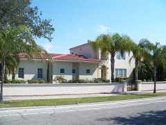
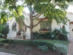
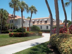
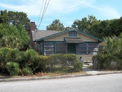
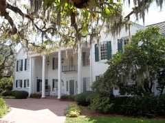
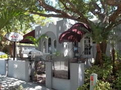
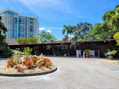
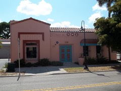
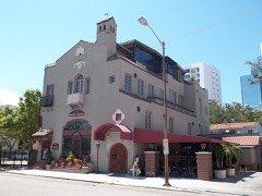
103 National Register listings published here.
Sources: the National Register database, National Park Service
65 topographic sheets cover 60 settlements here, and 103 properties are on the National Register of Historic Places.
103 National Register listings published here.
Sources: the National Register database, National Park Service
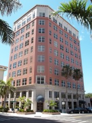
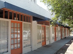
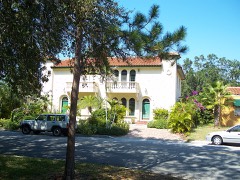
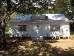
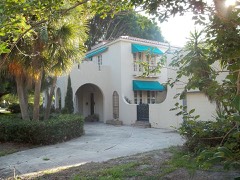
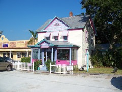
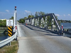
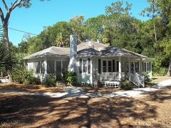
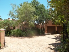
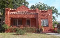
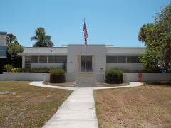
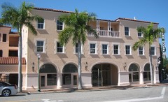
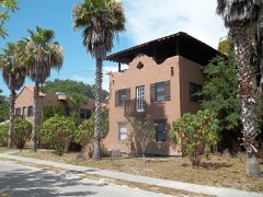
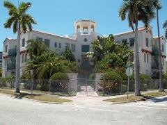
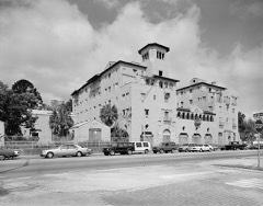
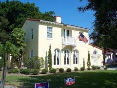
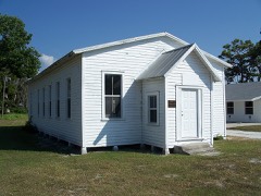
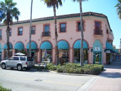
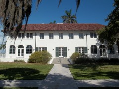
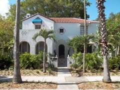
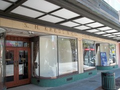
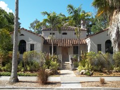
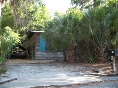
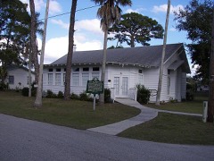
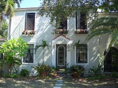
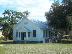
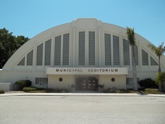
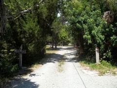
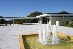
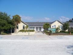
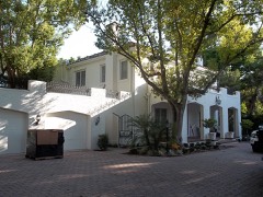
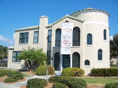
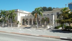
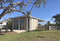
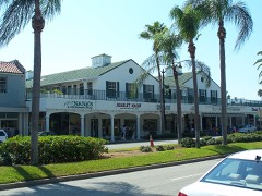
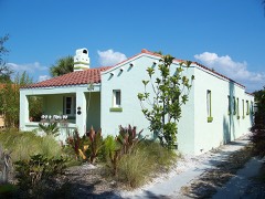
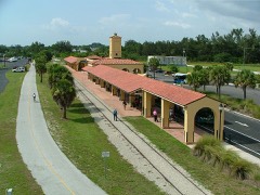
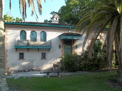
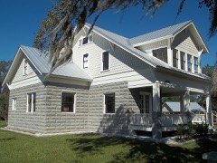
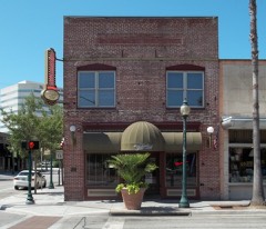
Every property in this county listed on the National Register of Historic Places, with the year it was listed and the federal nomination document.
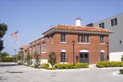
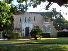
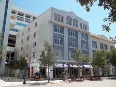
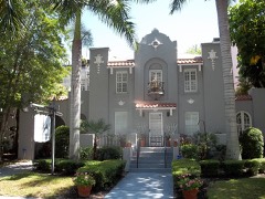
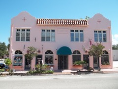
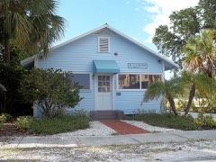
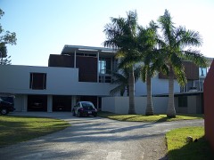
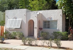
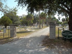
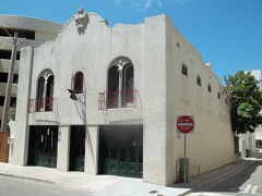
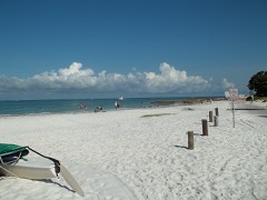
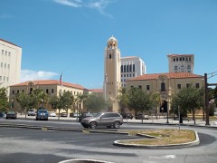
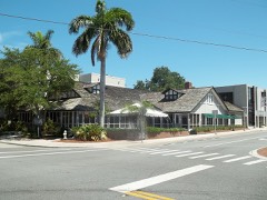
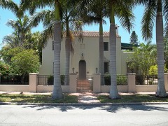
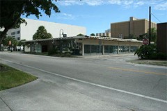
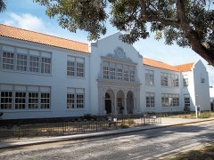
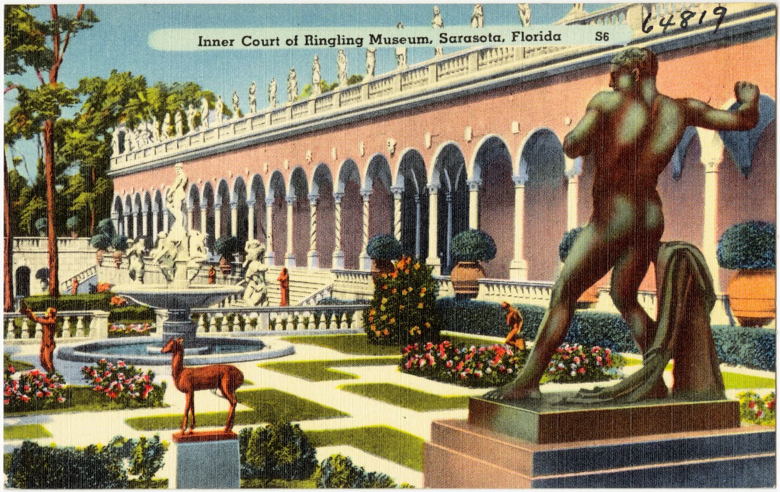
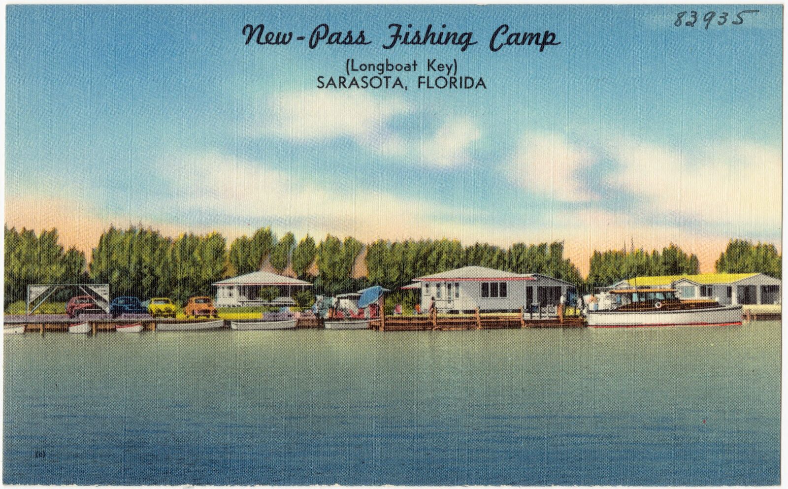
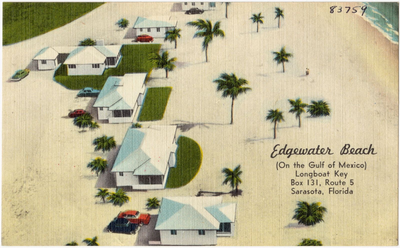
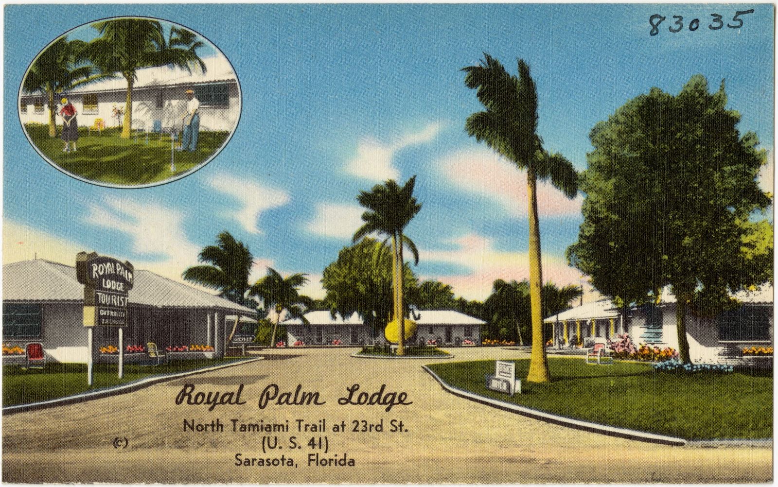
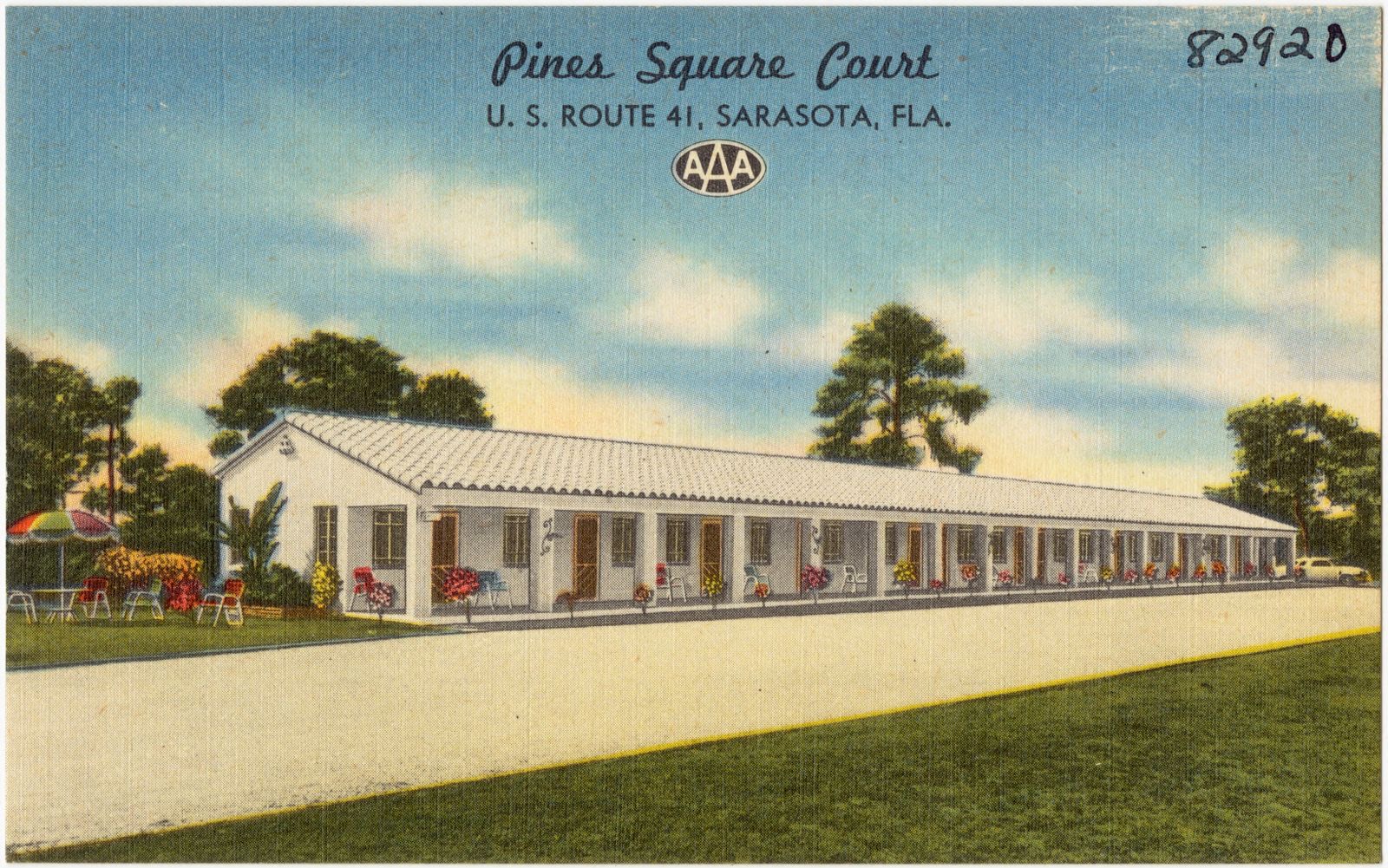
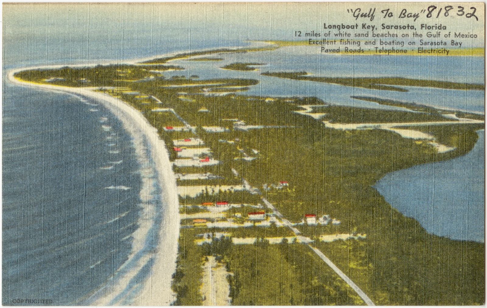
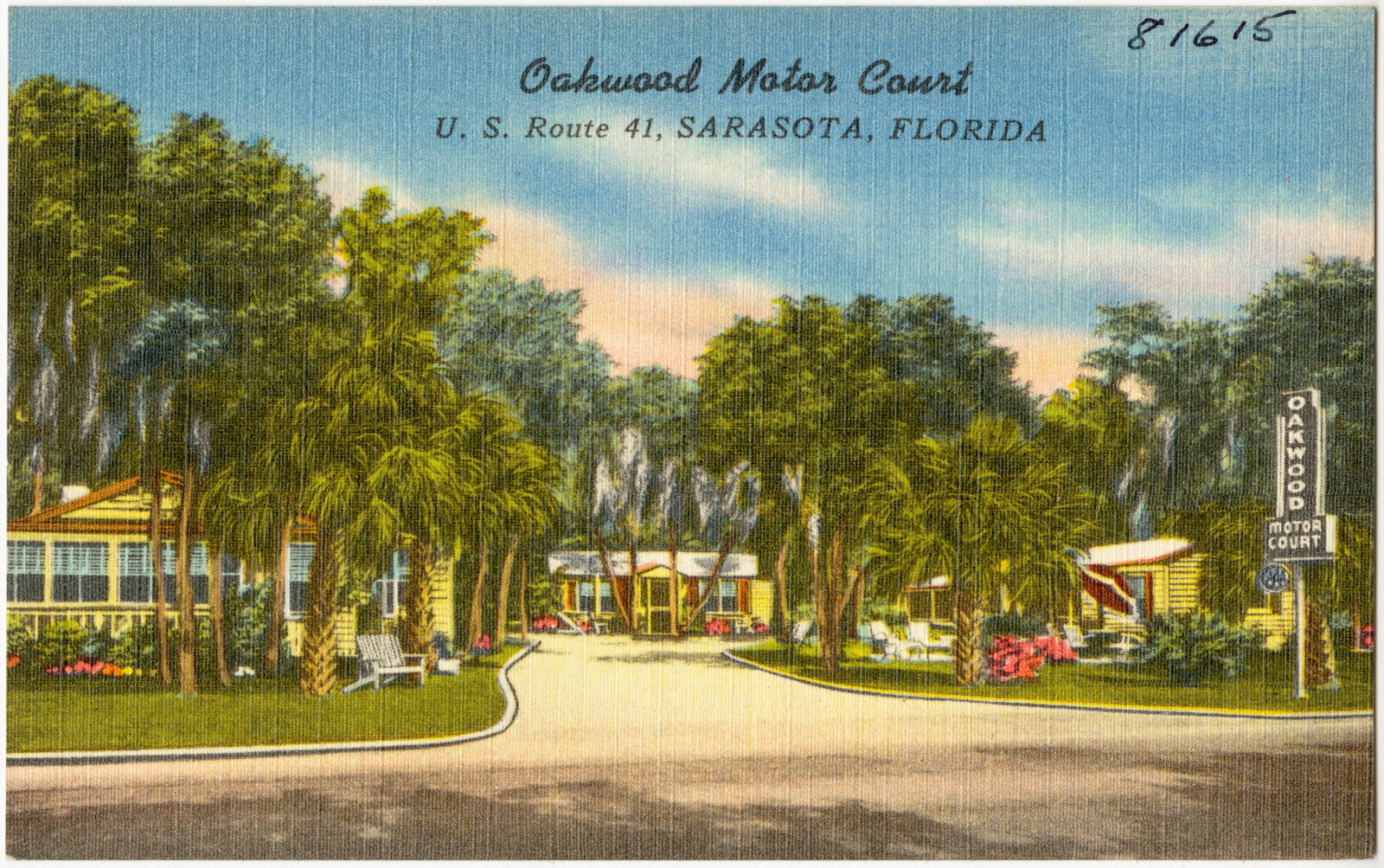
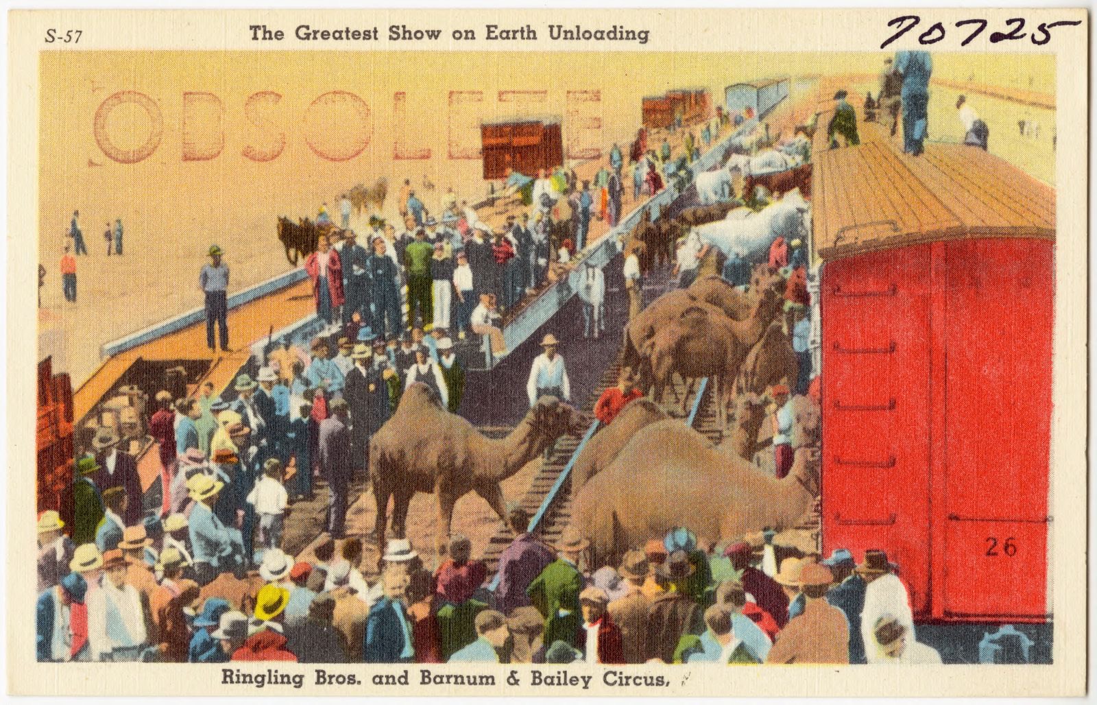
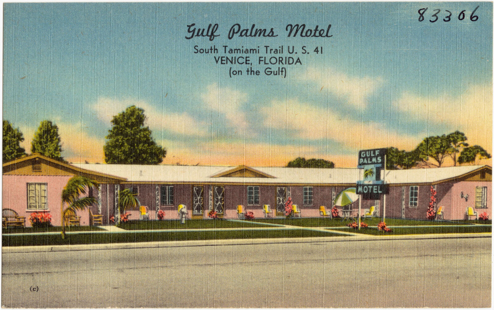
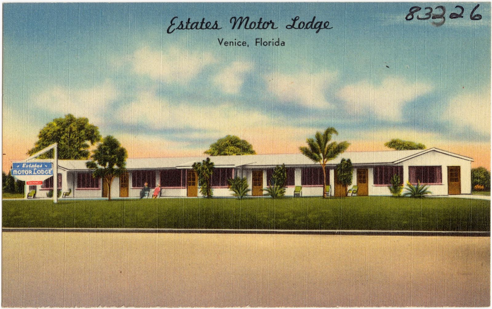
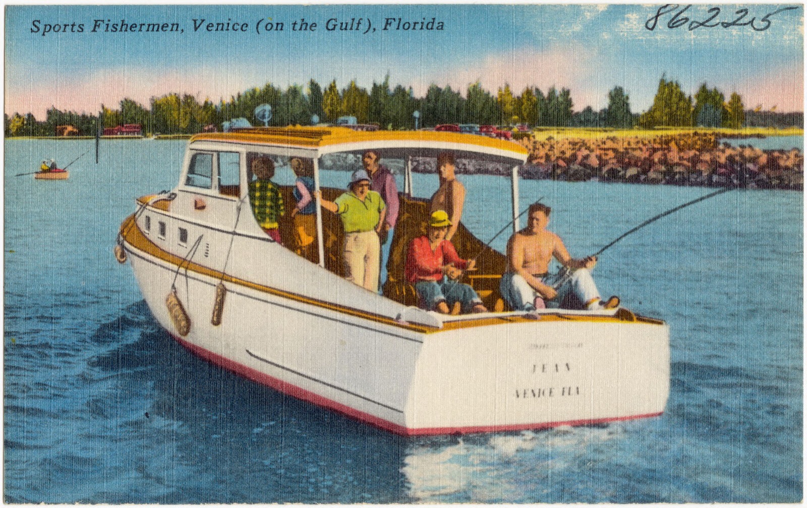
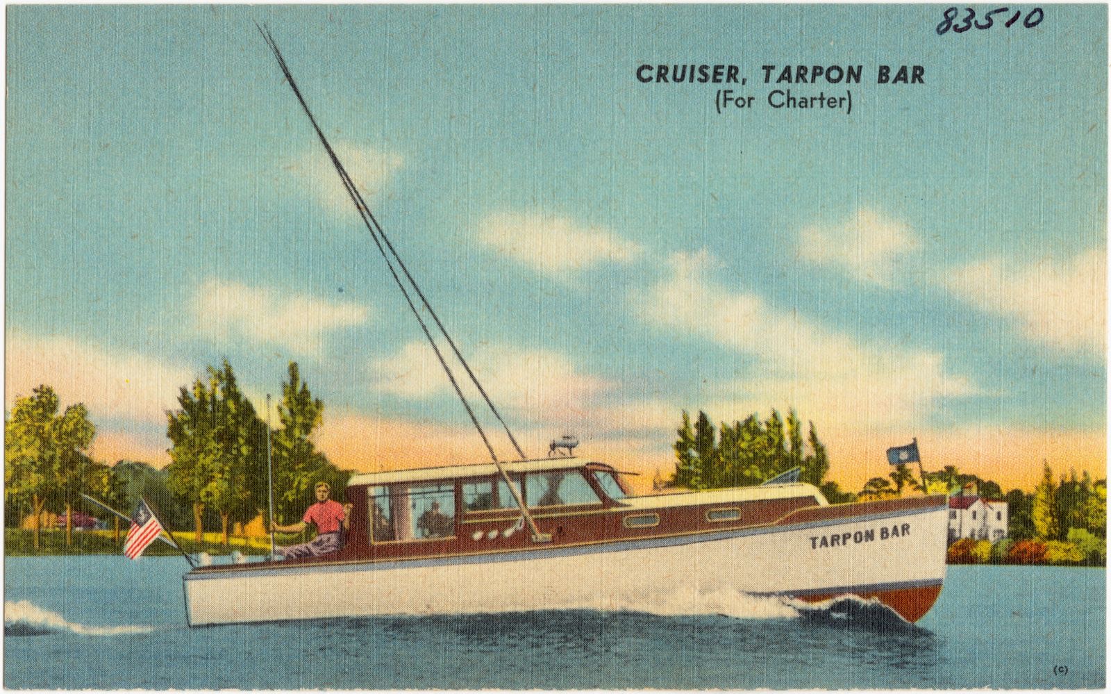
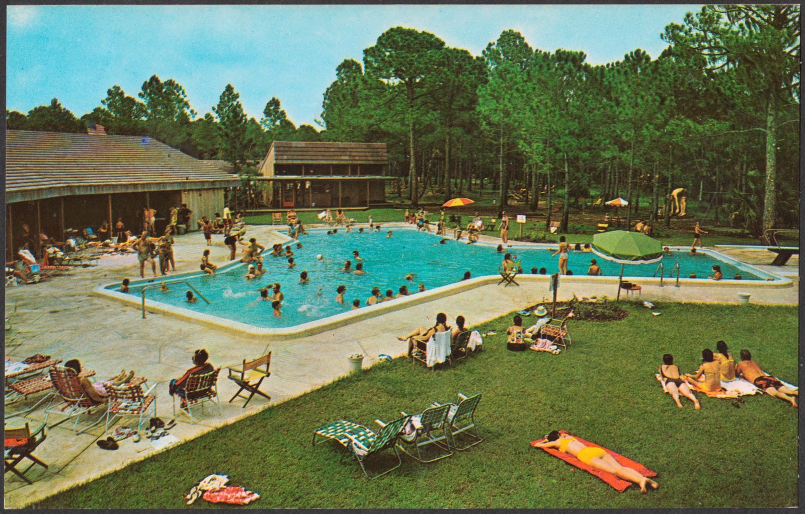
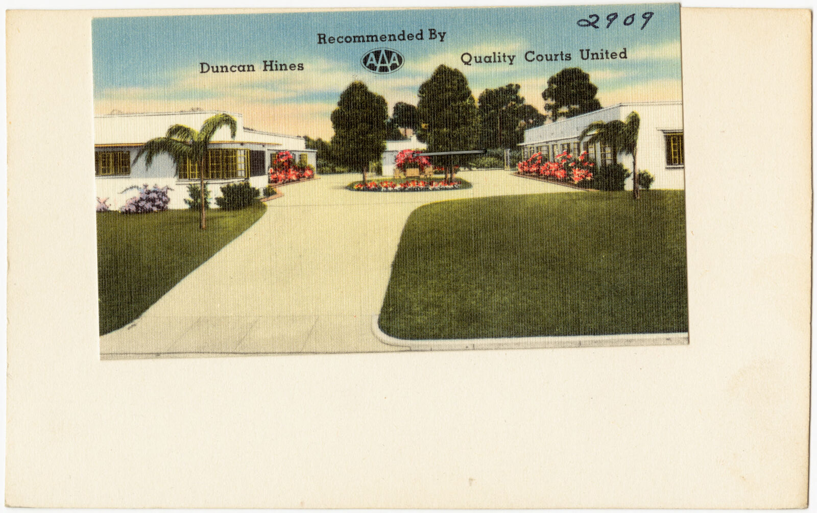
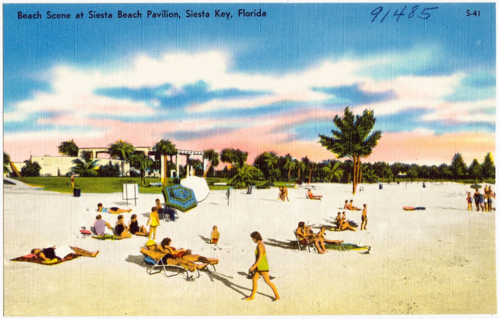
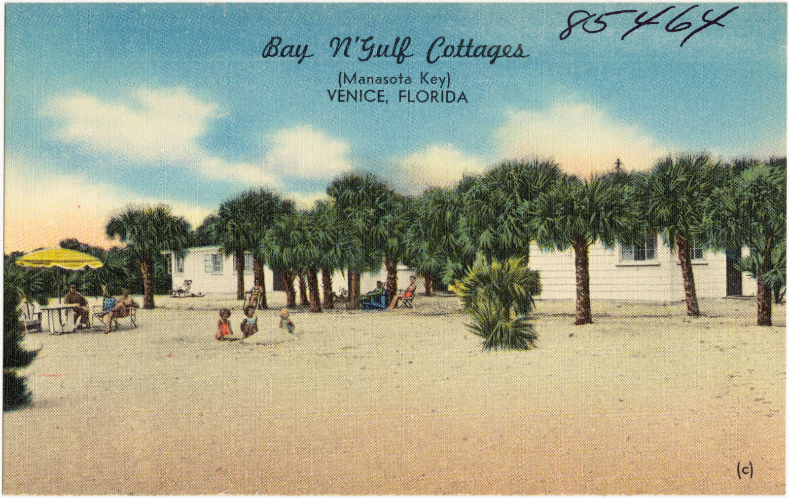
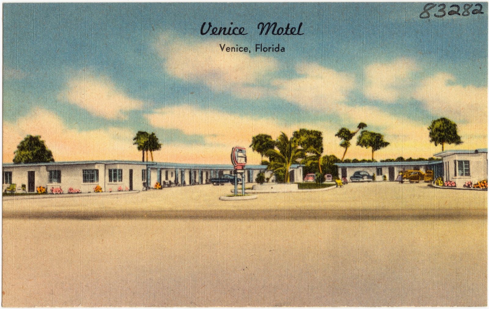
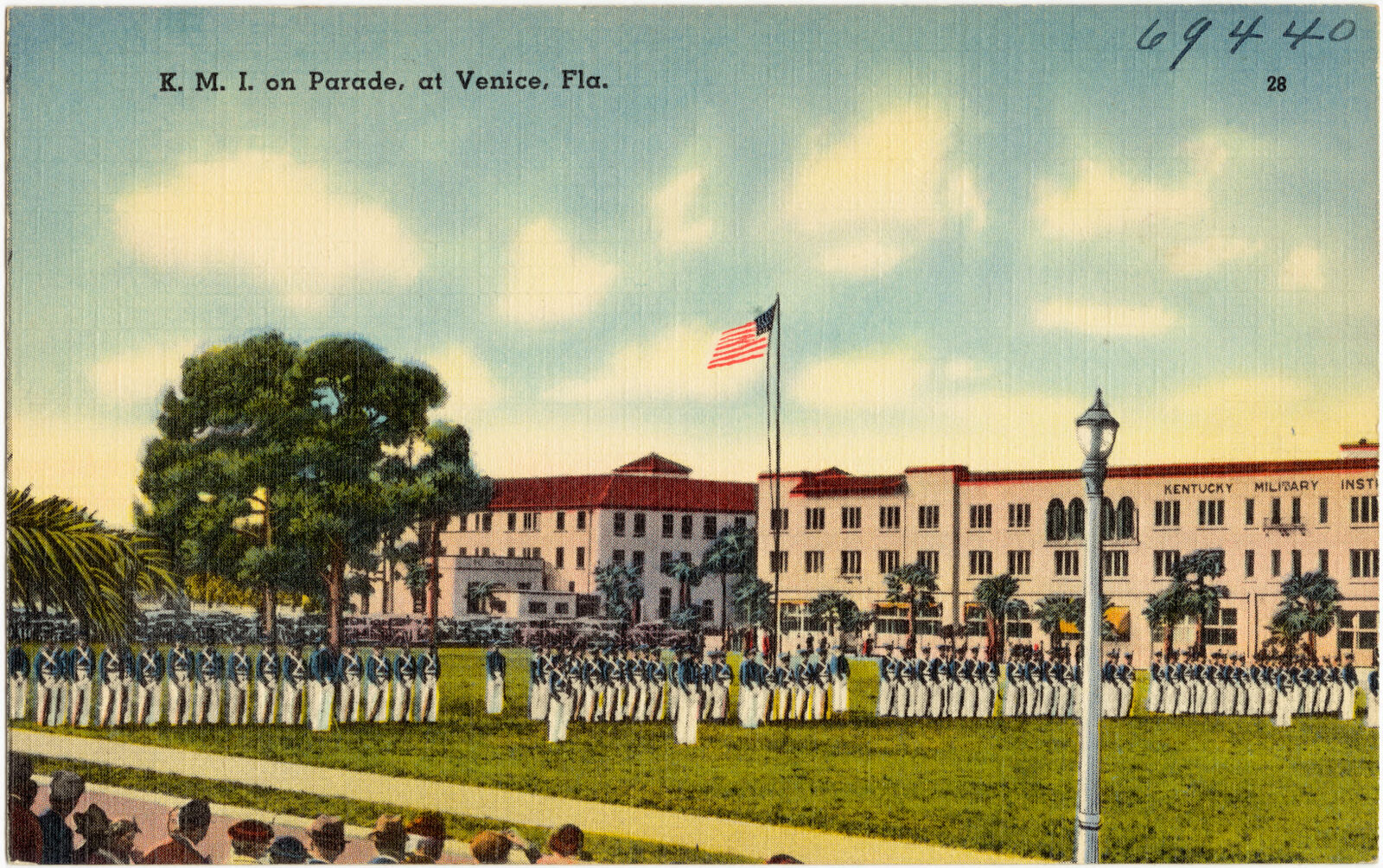
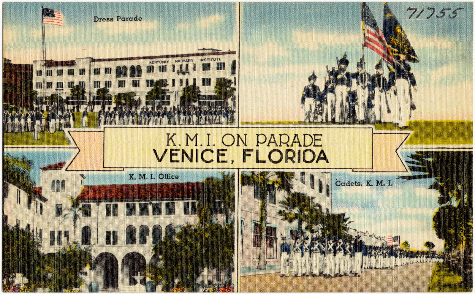
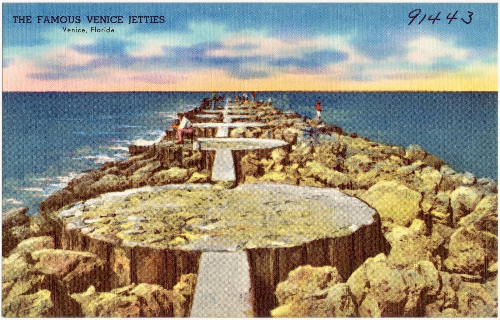
Selected from the Digital Public Library of America's 111 image records catalogued for this county. Every one shown here carries a public-domain status or a licence that permits reuse on a site that carries advertising; non-commercial, share-alike and restricted images are excluded. The selection is spread across the county's towns (at most eight per town), so no single institution's bulk upload crowds out the rest. Each opens the holding library's record, and the complete set at the Digital Public Library of America is one click away.
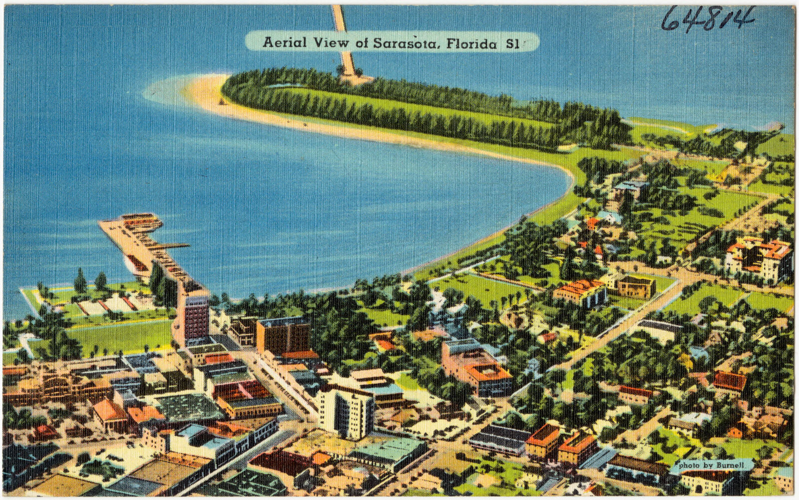
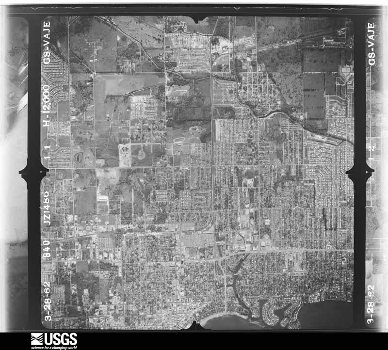
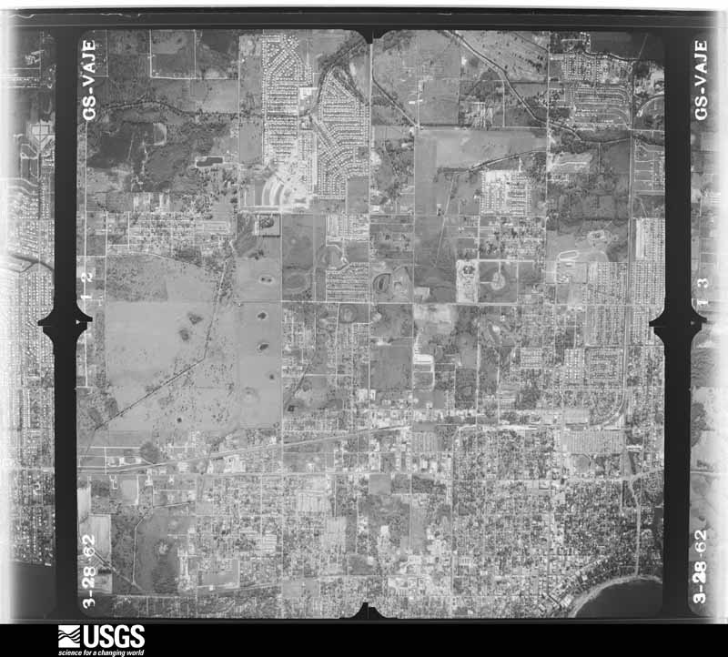
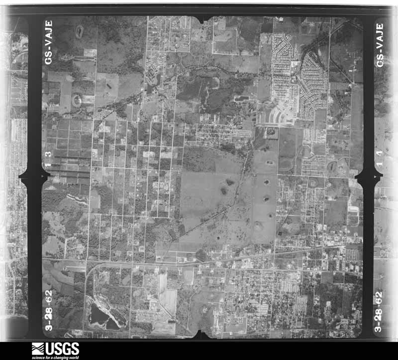
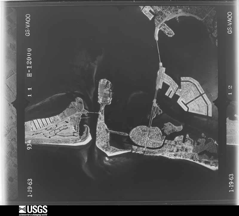
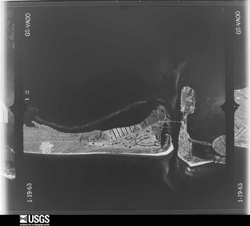
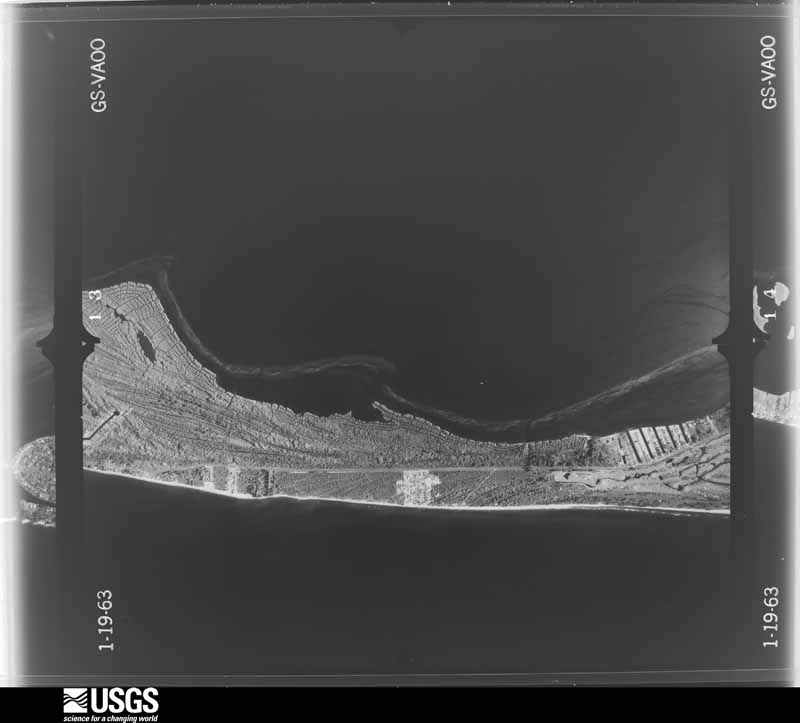
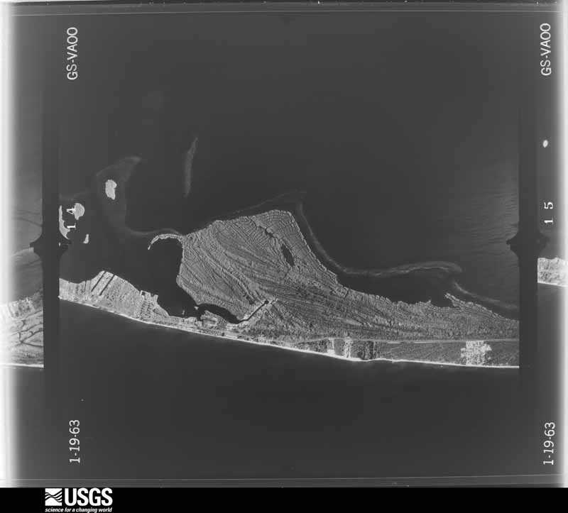
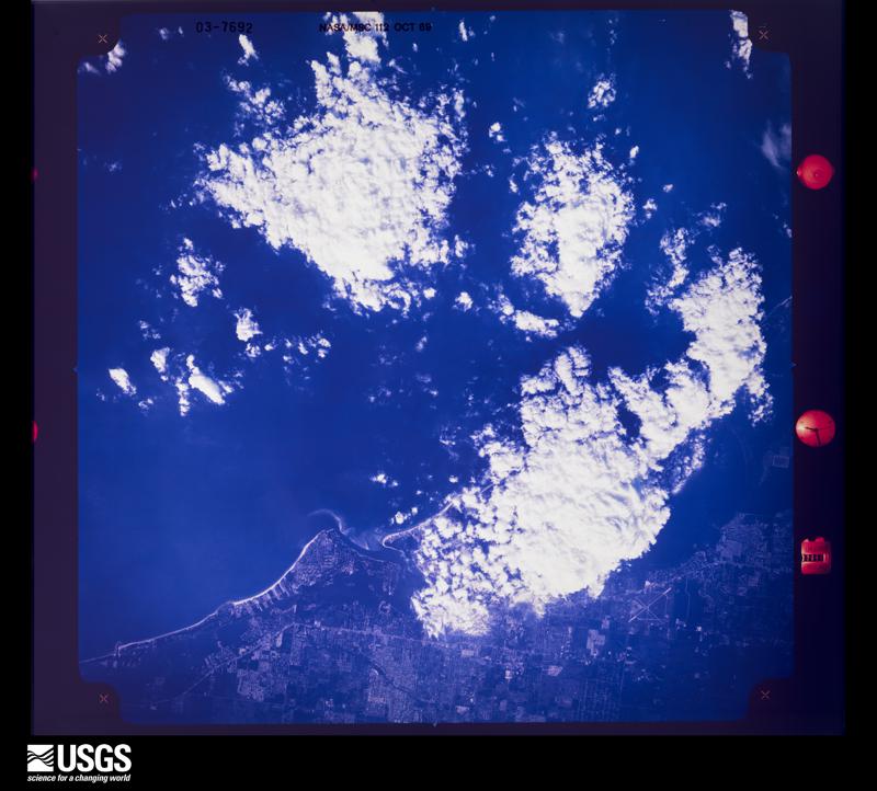
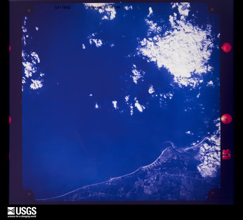
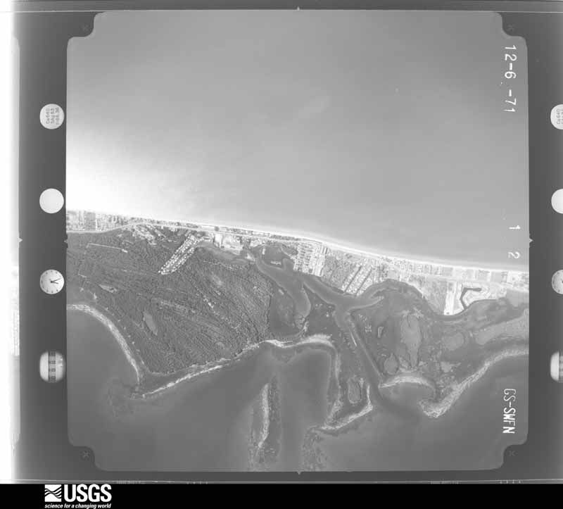
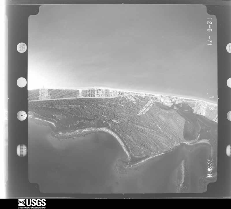
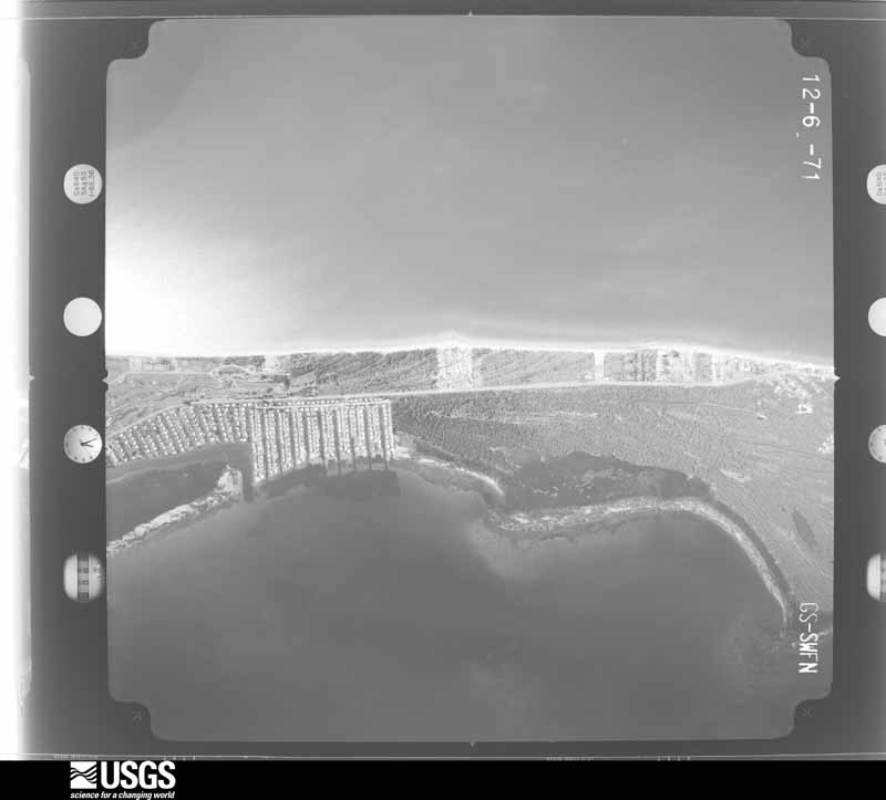
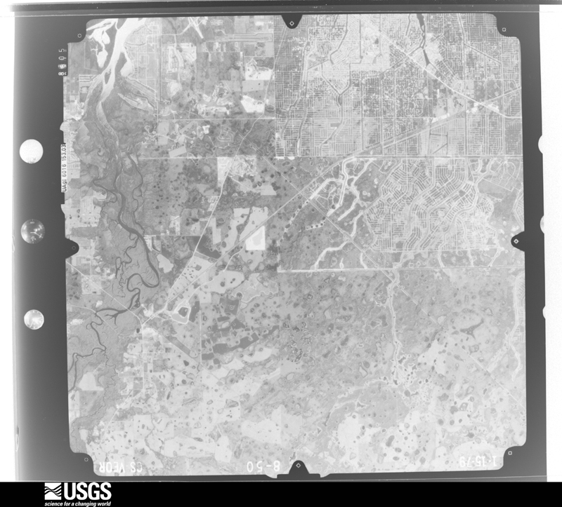
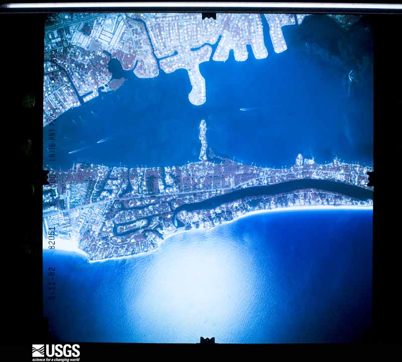
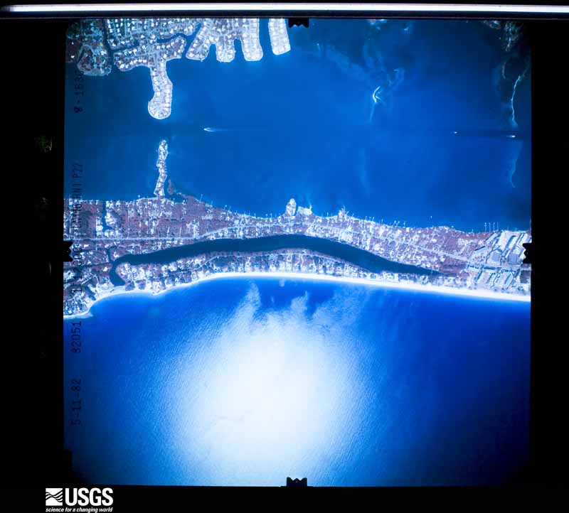
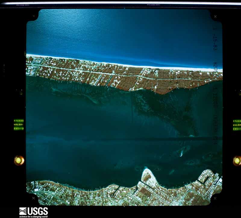
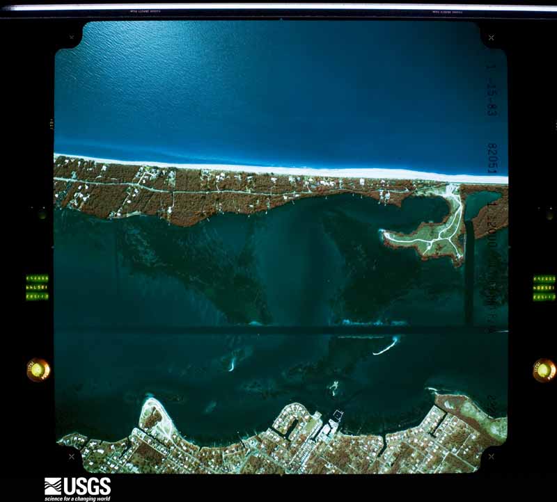
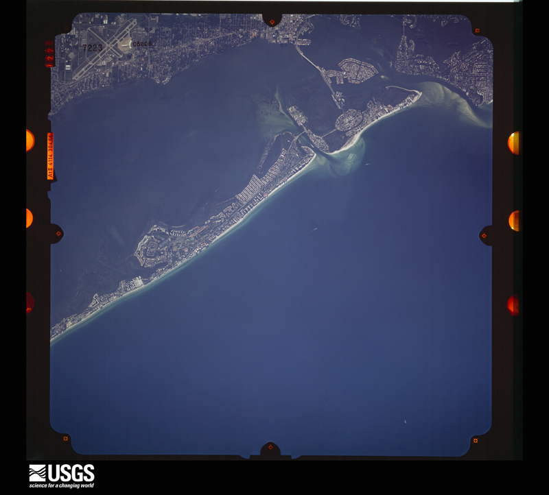
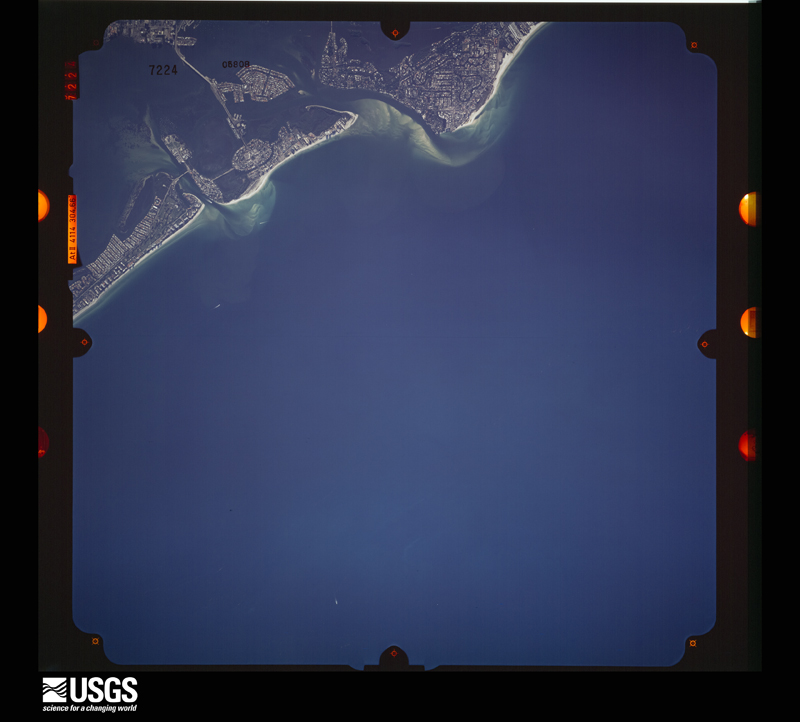
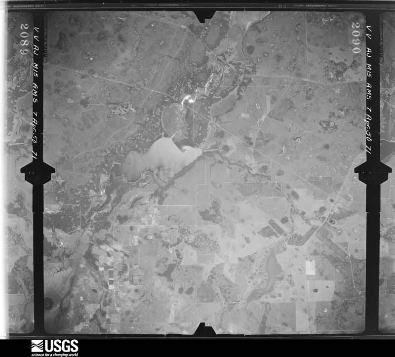
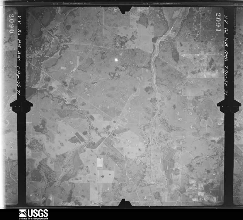
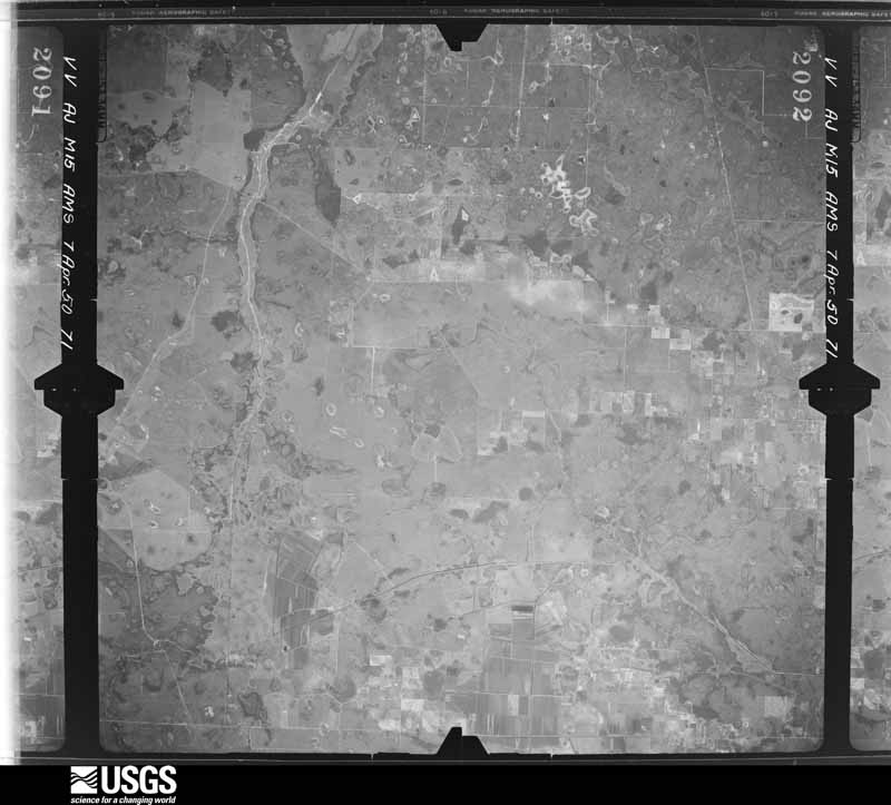
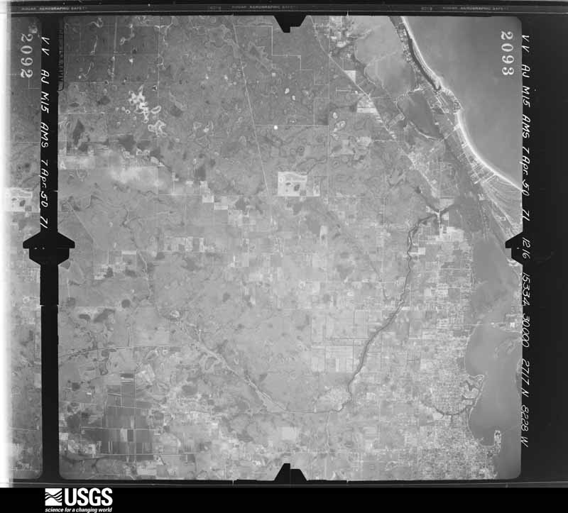
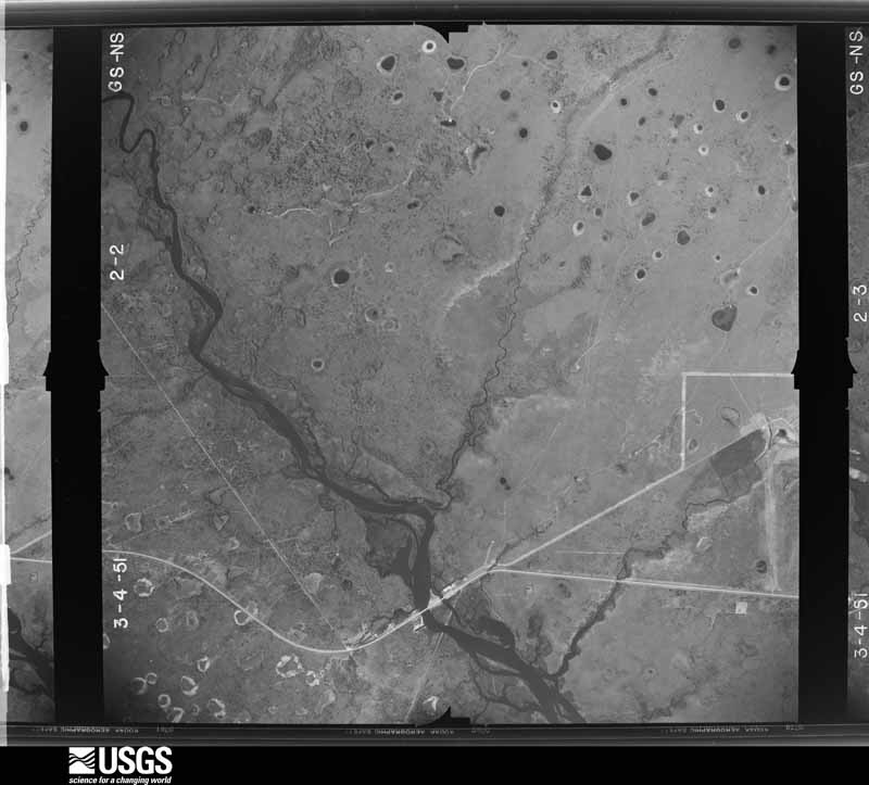
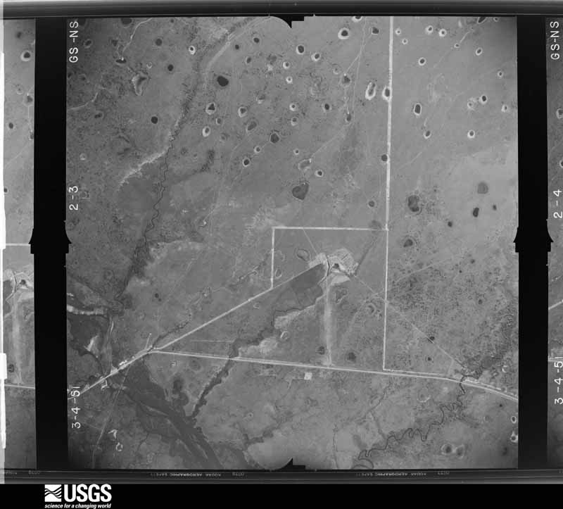
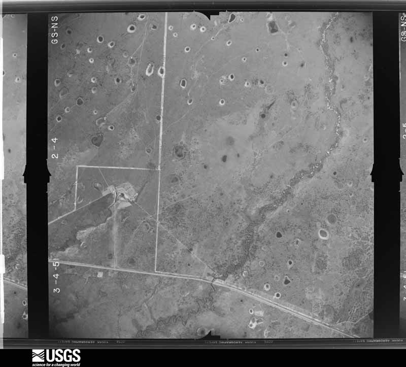
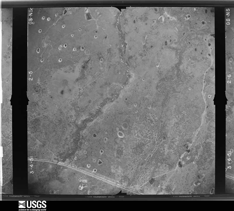
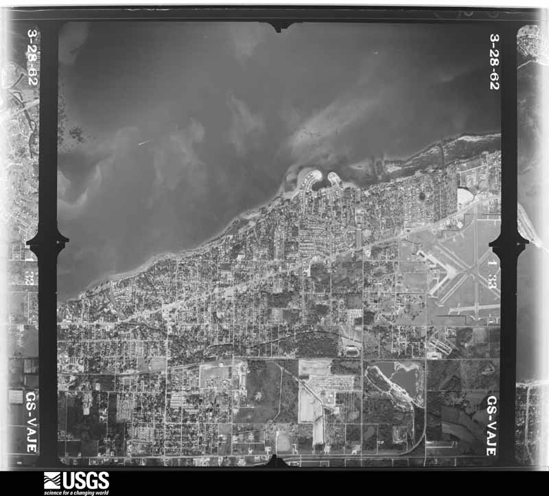
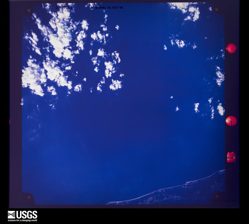
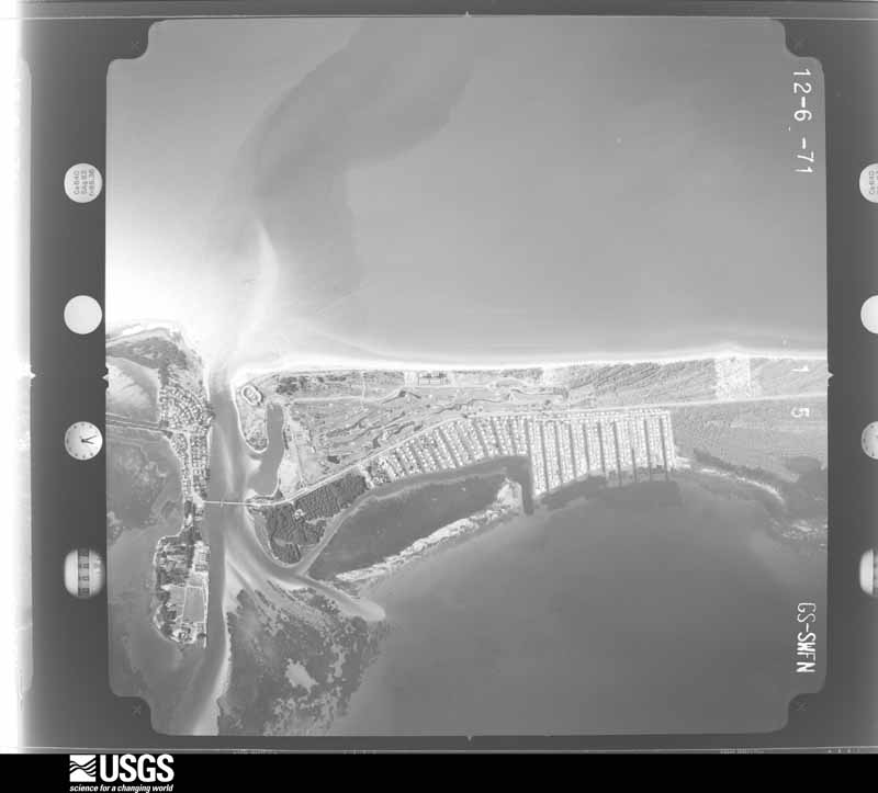
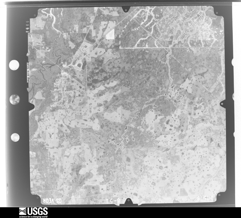
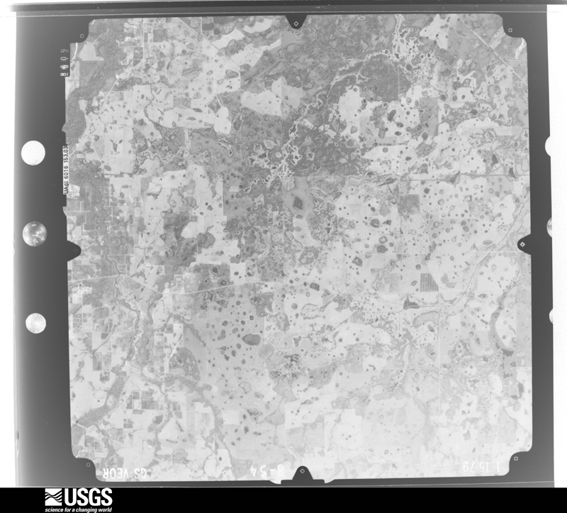
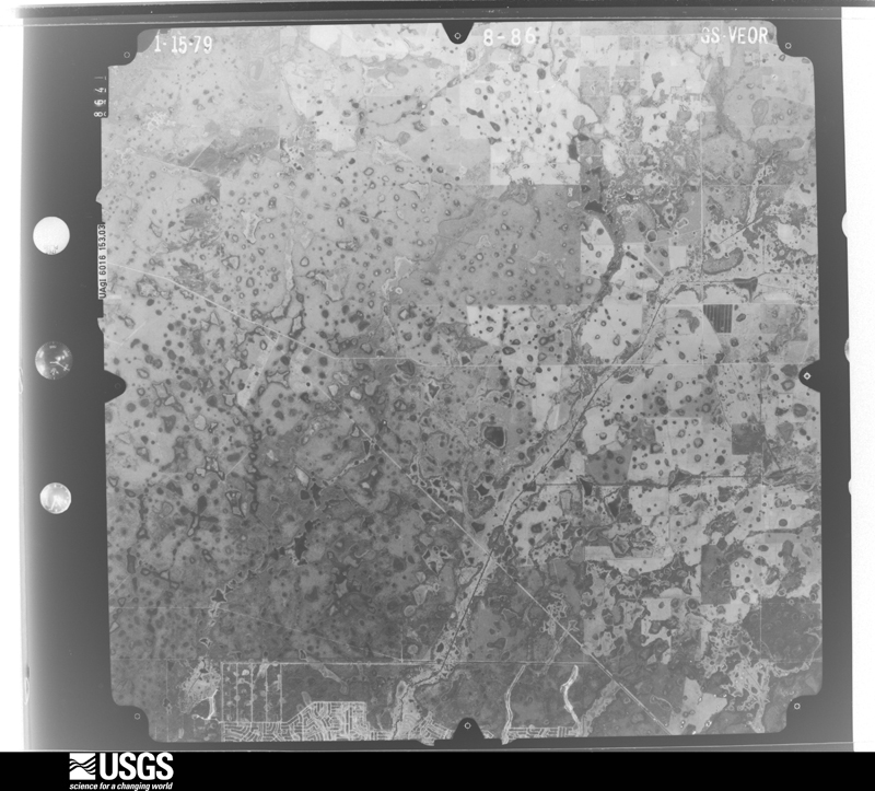
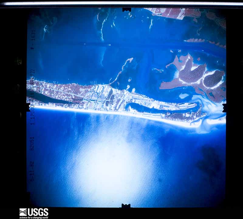
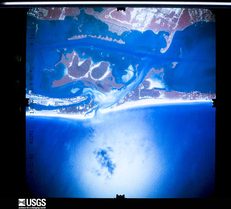
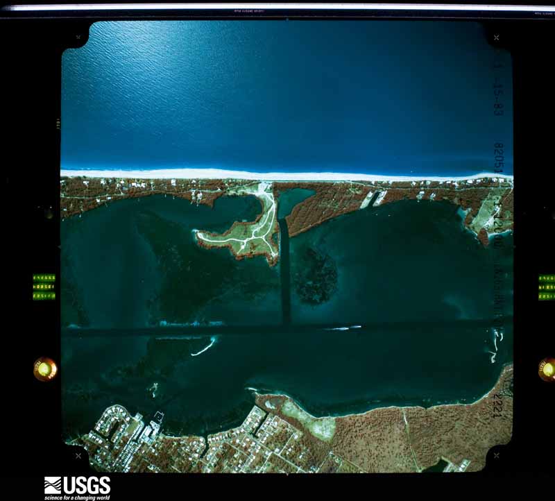
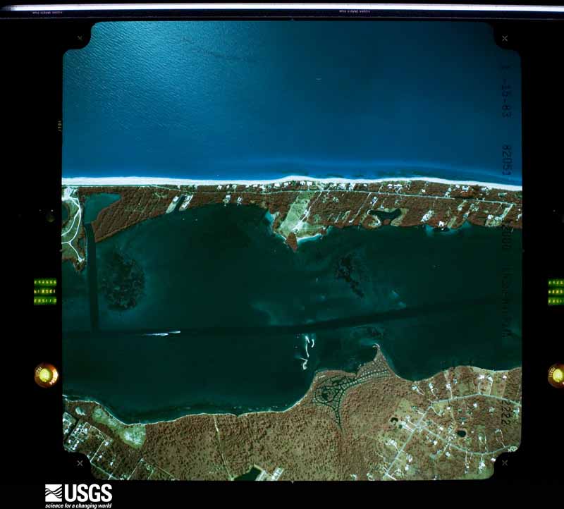
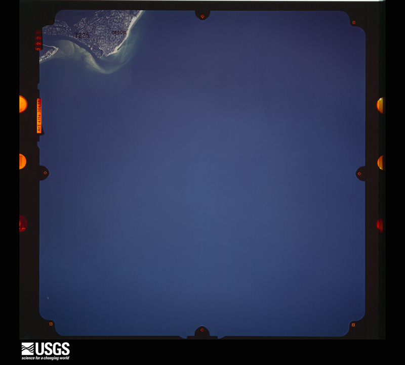
Flown by the U.S. Geological Survey between 1937 and 1989, the Aerial Photo Single Frames collection is the definitive mid-century view of the land: fields, roads and rivers as the camera saw them. The Survey holds 728 frames inside the rectangle that bounds this county; the 43 frames below were taken over the county itself, chosen across the decades of flights (at most four a year from that rectangle), so one flight cannot crowd out the rest. The full set is free to browse and download at EarthExplorer under the dataset Aerial Photo Single Frames.
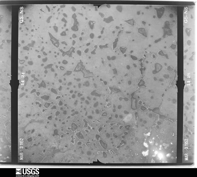
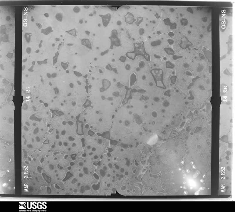
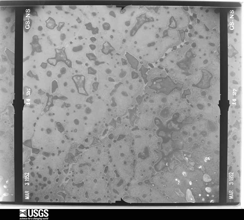
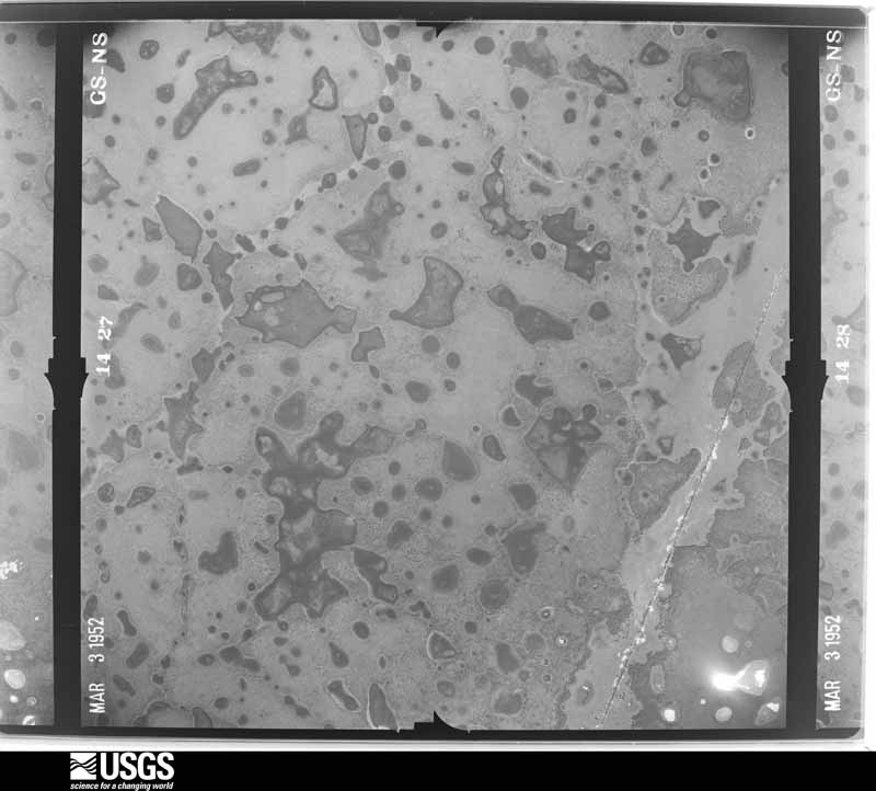
The thermometers that kept this county's weather, and the gages that measured the flow of its streams, as the federal records hold them. The extremes below are measured values from those records, not estimates.
Who lived here in 1950, one enumeration district at a time, as the Census Bureau described each district. Each row opens its official National Archives result, with Population Schedules and ED Maps available there.
Every wildfire the federal occurrence database records inside this county: 2,008 of them, burning about 45,510 acres. 768 started naturally and 159 were recorded as arson. Each settlement page carries the fires within five miles of it.
| Reported cause | Fires |
|---|---|
| Natural | 768 |
| Equipment and vehicle use | 432 |
| Missing data/not specified/undetermined | 300 |
| Arson/incendiarism | 159 |
| Misuse of fire by a minor | 130 |
| Debris and open burning | 61 |
| Railroad operations and maintenance | 57 |
| Recreation and ceremony | 53 |
| Fireworks | 18 |
| Power generation/transmission/distribution | 17 |
| Smoking | 13 |
The five largest, by the area the report gives. None of them was recorded as arson.
| Date | Cause | Size | Reported by | Name on the report |
|---|---|---|---|---|
| 17 April 2001 | Missing data/not specified/undetermined | 5,932 acres | Florida Forest Service | CARLTON 01 |
| 14 May 2000 | Natural | 5,837 acres | Florida Forest Service | FLOWERS (CARLTON RESERVE) |
| 13 May 2017 | Missing data/not specified/undetermined | 3,112 acres | Florida Forest Service | RAINTREE BLVD 2 (58) |
| 25 May 2012 | Debris and open burning | 1,674 acres | Florida Forest Service | MYAKKA STATE PARK (58) |
| 19 April 2001 | Equipment and vehicle use | 1,350 acres | Florida Forest Service | not named |
| 1 June 1999 | Natural | 900 acres | Florida Forest Service | not named |
| 21 March 2009 | Missing data/not specified/undetermined | 780 acres | Florida Forest Service | 58-BORDER RD FIRE-0225 |
| 5 June 2011 | Missing data/not specified/undetermined | 662 acres | Florida Forest Service | NORTH POWERLINE WETLAND (58) |
Every settlement page carries the fires within five miles of it - see the settlement index below.
The NOAA Storm Events Database holds 385 reports for this county, causing 7 deaths, 85 injuries and about $65,921,000 in recorded property damage. Each settlement page carries the reports that name it.
| Kind of event | Reports |
|---|---|
| Thunderstorm Wind | 149 |
| Tornado | 84 |
| Hail | 48 |
| Flood | 34 |
| Lightning | 27 |
| Heavy Rain | 11 |
| Waterspout | 11 |
| Flash Flood | 10 |
| Wildfire | 6 |
| Rip Current | 2 |
| Funnel Cloud | 2 |
| Dust Devil | 1 |
The most serious of them, by death, then injury, then recorded damage. The accounts are quoted exactly as the forecast office filed them.
| When | Event | Place named | Harm | What the report says |
|---|---|---|---|---|
| March 1985 | Tornado (F3) | not stated | 2 killed, 45 hurt, $25,000,000 | no account filed |
| June 2018 | Lightning | Pine Shrs | 1 killed, 1 hurt | A man and woman at the beach began to head for shelter as it started to rain. The man was struck by lightning, knocking back the woman back. The man was transported to a hospital, but was unable to be revived. |
| August 2017 | Flood | Longboat Key | 1 killed, $50,000 | Heavy rain started to fall over Sarasota County on the 26th and continued through the 28th, with as much as 16 inches of rainfall. The highest rain totals were reported along the coast, with 14.74 inches falling in 3 days at the Sarasota/Bradenton Airport in Manatee County. This led to numerous reports of streets flooding across the area, mainly on the 26th through early morning on the 27th.||One fatality was reported in Sarasota County on the afternoon of the 27th, when a 73 year old man driving through a flooded parking lot at the dog track in Sarasota ended up in a drainage ditch and drowned inside the vehicle. A separate car also drove into the drainage ditch in the same parking lot, but was able to escape unharmed. |
| December 1998 | Thunderstorm Wind | Venice | 1 killed, $30,000 | A 77 year-old male died from the combined effects of a heart attack and hypothermia when his 21 foot fishing boat was overturned by two estimated 18-20 foot waves, approximately 10 miles southwest of Venice, Florida. The sudden and large waves were generated by estimated winds of 25 to 40 mph from a fast-moving cold front that extended from the Eastern Gulf of Mexico northeast across West Central Florida. |
| August 2016 | Lightning | Newton Hgts | 1 killed | A 50 year old homeless woman was struck and killed by lightning. She was seeking shelter under a gazebo in the park. |
| July 2014 | Lightning | South Sarasota | 1 killed | A 39 year old man was struck and killed by lightning while roofing a home near Siesta Key. The man was taken to a nearby hospital but was unable to be revived. |
| August 1987 | Tornado (F1) | not stated | 6 hurt, $250,000 | no account filed |
| December 1971 | Tornado (F2) | not stated | 5 hurt, $250,000 | no account filed |
| April 2005 | Thunderstorm Wind | Venice | 5 hurt, $10,000 | Video and eye witness reports suggested a wet microburst dropped near downtown Venice and produced light damage to 15 mobile homes in the Bay Indies and Ridgewood subdivisions, mostly to car ports and roofs. However, the winds blew out windows, caused five injuries, and sent patrons diving for cover under tables at a restaurant on the 500 block of East Venice Avenue. The Venice Fire Station Number 2 sustained roof damage and a training trailer behind the station was knocked on its side. |
| December 1971 | Tornado (F2) | not stated | 3 hurt, $25,000 | no account filed |
| January 2016 | Tornado (EF2) | Pine Shrs | 2 hurt, $12,000,000 | An NWS Storm Survey crew found damage to multiple homes and structures along the path of the tornado. One home on Siesta Key had the second floor collapse on to the first. Two people were injured in that home. The tornado was 350 yards wide as it came ashore on Siesta Key before narrowing to around 100 yards wide as it crossed the intercoastal waterways. |
| November 1968 | Tornado (F2) | not stated | 2 hurt, $250,000 | no account filed |
| March 2022 | Tornado (EF1) | Sarasota Beach | 1 hurt, $1,000,000 | Video of tornadno from Sarasota PD. Damage to roof at industrial building on 2100 block of 10th street causing 1 million dollars in damage to building and contents. |
| December 1978 | Tornado (F1) | not stated | 1 hurt, $250,000 | no account filed |
| February 2001 | Wildfire | North Port | 1 hurt, $100,000 | no account filed |
| December 1958 | Tornado (F1) | not stated | 1 hurt, $25,000 | no account filed |
| May 1998 | Thunderstorm Wind | Englewood | 1 hurt, $12,000 | Thunderstorm winds of up to 45 mph produced five foot waves which capsized a fourteen foot boat and injured a man thrown overboard in Lemon Bay. |
| May 1998 | Thunderstorm Wind | South Venice | 1 hurt, $10,000 | A 23 year-old man trying to take down a flag suffered several broken bones when he was lifted and thrown 20 to 30 feet over the corner of a restaurants roof as he clung to the tethered line of the flagpole during a thunderstorm downburst.Thunderstorm winds also downed a large tree atop a home which caused roof, lanai and screen porch damage in Sarasota. |
| January 2009 | Thunderstorm Wind | Ridge Wood Heights | 1 hurt, $1,000 | Several small tree limbs snapped, shopping carts were turned over and the awning of a grocery store was damaged in Sarasota. A woman pushing a shopping cart and holding an umbrella was knocked down while walking to her car. She was transported to the hospital with minor injuries. |
| July 2020 | Lightning | Siesta Key | 1 hurt | A 14-year-old boy was struck in the chest by lightning while he and his family were walking from the beach to their hotel. The boy had numerous burns and a hole in his shoe where the lightning exited his body. He was put on a ventilator and did survive the strike. The family was on vacation from Houston. |
| July 2010 | Lightning | Warm Mineral Springs | 1 hurt | A 45-year-old construction worker was struck by lightning while packing up his tools on a jobsite in North Port. The strike entered his right knee and exited his left foot. He suffered burns around the entrance and exit areas and was hospitalized. |
| June 2008 | Lightning | Ridge Wood Heights | 1 hurt | A 28 year old man was struck and injured by lightning while wade fishing in the Gulf off of Siesta Key. |
| May 2005 | Lightning | Venice | 1 hurt | Lightning struck near a construction worker and injured him while he worked with power tools in the rain. |
| June 2003 | Lightning | Sarasota Beach | 1 hurt | A Pennsylvania woman was struck by lightning while collecting shells at Turtle Beach on the south end of Siesta Key. The bolt struck the woman near her neck, blackened her face, and left her swimming suit in shreds. She was knocked unconscious and was in a coma for three days after the strike. Her husband was performing CPR when the ambulance arrived. He stated the storms and clouds were miles away and that this was a "bolt out of the blue". |
| June 2001 | Lightning | Venice | 1 hurt | Lightning struck a stopped postal mail delivery truck and slightly injured a 54 year old male postal mail carrier inside the vehicle on Guadeloupe Avenue in the Bay Indies community of Venice. The victim noted that rain had begun as he stopped to check a mailbox, and then felt the hair on his arms stand up prior to the lightning strike. |
| July 1999 | Lightning | Sarasota | 1 hurt | An adult male was struck and injured by the sideflash of lightning which struck a nearby tree while attempting to exit his vehicle. Reported by WWSB-TV of Sarasota. |
| April 1998 | Rip Current | Sarasota | 1 hurt | A 21 year-old male nearly drowned and was injured when caught in a rip current off the beach of Siesta Key. The injured swimmer was found face down in the water by rescuers who later resuscitated the rip current victim. |
| August 1996 | Lightning | Sarasota | 1 hurt | no account filed |
| June 2024 | Flood | Coral Cove | $10,000,000 | Sarasota County Emergency Management reported multiple cars partially inundated in flood waters with water also entering some business structures at the lowest levels in St Armands Circle. No injuries reported. |
| August 1973 | Tornado (F1) | not stated | $2,500,000 | no account filed |
| November 1997 | Flash Flood | Sarasota | $2,300,000 | no account filed |
| June 2024 | Flood | Sarasota | $750,000 | Multiple public reports received of an unknown number of stranded vehicles in flooded streets near downtown Sarasota. |
| August 2006 | Lightning | Sarasota | $550,000 | Lightning sparked a fire that destroyed a home on the 700 block of Shorecrest Drive. |
| March 1998 | Tornado (F1) | Sarasota | $500,000 | A tornado touched down at the Tuttle Elementary School at Brink Avenue north of County Road 780 (Fruitville Road) in Sarasota and severely damaged six classrooms, a portion of a portable dining room, downed a concrete wall and reduced a pavilion to a pile of rubble. Six additional classrooms incurred minor damage from the tornado before it lifted and dissipated. A few trees and large tree limbs were downed by the tornado before it lifted and dissipated. |
| March 1998 | Flash Flood | Sarasota | $500,000 | Three to six inches of rain with isolated amounts up to ten inches fell over a large part of Sarasota county which caused the waters of the Philipi Creek along Greer and Gehardt Streets near County Road 773 to overflow its banks. Up to 45 homes were damaged by floodwaters of the Philipi Creek with damage estimated at one half million dollars. |
| June 1994 | Thunderstorm Wind | Osprey | $500,000 | Thunderstorm winds did $100,000 damage mostly to the roof of a restaurant and to covers on adjacent marina. |
| June 2009 | Tornado (EF1) | Hidden River | $350,000 | The tornado touched down along Fruitville Road, snapping a few trees, and then traveled south into a plant farm. It tore two metal beams from the foundation of a metal building on the farm and then moved across a field of more than two dozen greenhouses, destroying or seriously damaging all but one. The tornado then continued south into a wooded area, where it damaged a few more trees before lifting. Winds were estimated around 95mph. |
| January 1999 | Tornado (F0) | Venice | $350,000 | A National Weather Service damage survey, in coordination with Sarasota Emergency Management officials, concluded that a tornado in the high end of the F0 range, first touched down in the Lazy River mobile home park along U.S. Highway 41 and the Myakka River. The tornado continued to move east southeast and sporadically touched down in the Harbor Cove, Lacasa, Harbor Isles and Holiday mobile home parks along and south of U.S. Highway 41 before it lifted and dissipated near the intersection of U.S. Highway 41 and Hikina Drive.The tornado caused moderate roof and structural damage to three weathered mobile homes and caused minor roof, porch, lanai and carport damage to an additional 300 mobile homes along its path. Also, a few large trees along the tornado path were snapped or toppled. |
| September 2016 | Flood | Longboat Key | $250,000 | Heavy rain from Hurricane Hermine fell across Sarasota County, with the three day total rainfall ranging from 4 to 7 inches. The highest rain accumulation recorded during the event was 6.88 inches at the CWOP station in South Sarasota. The rain caused widespread street flooding across the eastern half of the county, and flood waters caused some residents to evacuate from their homes in Sarasota. Total damage from flooding was roughly estimated at $250,000. |
| June 2012 | Flood | Warm Mineral Springs | $250,000 | The Myakka River reached flood stage on the 27th from heavy rains from Tropical Storm Debby. The flooding continued through the end of the month, ending with a level of 8.12 feet, or 1.12 feet above flood stage. ||The water flooded several homes in the Playmore neighborhood near US 41 west of North Port. |
| April 2000 | Wildfire | North Port | $250,000 | Wildfires destroyed a fire truck, consumed a home, damaged an out building and burned over 300 acres of brush and scrub trees along U.S. Highway 41 and the Myakka River Bridge west of North Port. |
| January 1999 | Tornado (F0) | Sarasota | $250,000 | A National Weather Service damage survey concluded that a tornado touched downed at the Sarasota Sailing Squadron, 2.5 miles west of downtown Sarasota and toppled 34 boats on storage trailers. Ten of the boats sustained mast damage while most others received minor hull damage. The tornado continued across Sarasota Bay as a waterspout and moved east and onshore near the intersection of U.S. Highway 41 and Boulevard of the Arts in Sarasota. The tornado sporadically snapped tree limbs before it lifted and dissipated near the intersection of Seventh Street and Central in Sarasota. |
| January 1998 | Flood | Countywide | $250,000 | Heavy rains of four to five inches caused localized flooding of roadways and low lying areas. Several cars stalled and incurred water damage between U.S. Highways 41 and 301 in Sarasota. |
| September 1997 | Flash Flood | Sarasota | $250,000 | no account filed |
| April 1988 | Tornado (F1) | not stated | $250,000 | no account filed |
| July 1983 | Tornado (F1) | not stated | $250,000 | no account filed |
| August 1981 | Tornado (F1) | not stated | $250,000 | no account filed |
| January 1978 | Tornado (F1) | not stated | $250,000 | no account filed |
| February 1970 | Tornado (F2) | not stated | $250,000 | no account filed |
| November 1968 | Tornado (F1) | not stated | $250,000 | no account filed |
| February 2006 | Lightning | Venice | $230,000 | Lightning started an attic fire and destroyed a home on Sugarwood Way. |
| July 2021 | Flood | Warm Mineral Springs | $200,000 | Law enforcement and media reported road closures and 240 homes surrounded by water in North Port due to flooding. There was 2 to 4 feet of water in the streets. About a half of dozen vehicles were stranded in the water and required rescuing. |
| August 2003 | Flash Flood | Sarasota | $200,000 | Three to five inches of rain in 80 minutes caused one foot of water to enter some Sarasota businesses on 17th Street between Euclid and Mango Avenues. The listed damage amount does not include inventory. Numerous vehicles were abandoned in the area due to the high water. |
| March 1998 | Flood | Sarasota | $200,000 | The Myakka River at Myakka State Park crested at 10.57 feet on the 22nd, over three and a half feet above the flood stage of seven feet. Over 20 homes downstream were damaged from the floodwaters of the Myakka River. |
| February 1998 | Flood | Sarasota | $200,000 | The Myakka River at Myakka State Park crested at 10.1 feet on the 20th, over three feet above the flood stage of seven feet. Over 20 homes downstream were damaged from floodwaters of the Myakka. |
| February 1998 | Tornado (F1) | Venice | $200,000 | A tornado touched down and blew over several large trees atop homes which caused significant roof damage along Bellini and Picasso Roads near Casey Key.A resident with an anemometer located 50 feet above ground level reported a wind gust of 109 mph at the 1800 block of Casey Key. Several power poles, wires, trees and chimneys were downed by the tornado before it lifted and dissipated. |
| June 1997 | Lightning | Sarasota | $185,000 | Lightning ignited a fire that destroyed 5,060 acres of scrub and brush, destroyed one home, partly damaged another and damaged several vehicles, along a four mile stretch of River Road between U.S. Highway 41 and State Road 776. |
| March 2017 | Thunderstorm Wind | Osprey | $150,000 | Power lines were reported down at Tamiami Trail and MacEwen Drive in Osprey. Additionally, a member of the public reported that in a nearby neighborhood, The Oaks, 3 pool cages were destroyed, aluminum poles holding nets protecting tennis courts from a golf course were ripped out of the ground, a large palm tree was uprooted, and several other homes sustained minor unspecified damage. The damage appeared to follow a narrow path, and may have been caused by a gustnado. |
| March 2003 | Tornado (F0) | Sarasota | $150,000 | The National Weather Service storm survey found tornado and straight line wind damage with maximum winds estimated at 65 to 70 mph. The tornado damage began along 47th street near North Water Park and continued east to the Windmill Village North mobile home park. Seven permanent homes and 10 mobiles homes had shingle, carport, tree, and lanai damage. |
| March 2001 | Thunderstorm Wind | Sarasota | $150,000 | Utility company representatives reported that thunderstorm winds downed numerous large trees, branches and power lines from Sarasota east to the Interstate 75 corridor in Sarasota county. |
The Survey's mineral resources record lists 19 workings inside this county. 12 still produce and 7 are closed or unrecorded. Each settlement page carries the workings within five miles of it.
| Commodity | Workings |
|---|---|
| Stone, Crushed/Broken | 4 |
| Limestone, General | 4 |
| Calcium | 3 |
| Sand | 3 |
| Phosphorus-Phosphates | 2 |
| Sand and Gravel, Construction | 2 |
| Uranium, Iron, Magnesite, Aluminum, Fluorine-Fluorite | 1 |
| Aluminum, Fluorine-Fluorite, Iron, Magnesite, Uranium, Water, Free | 1 |
| Dolomite | 1 |
The least common of them first, because a county's hundredth gravel pit says nothing its first ten did not.
| Where | Site | Commodity | Status | Recorded |
|---|---|---|---|---|
| Sarasota County Deposit No. 1 | Phosphorus-Phosphates, Uranium, Iron, Magnesite, Aluminum, Fluorine-Fluorite | Prospect | 1962 | |
| Sarasota County Deposit No. 2 | Phosphorus-Phosphates, Aluminum, Fluorine-Fluorite, Iron, Magnesite, Uranium, Water, Free | Occurrence | ||
| Sarasota Dolomite Quarry | Dolomite | Occurrence | ||
| Everglades Estates Pit | Sand and Gravel, Construction | Producer | ||
| Newburn Pit | Sand and Gravel, Construction | Producer | ||
| Dot Sarasota - Cow Pen Slough Mine | Sand | Unknown | Sand | |
| General Development Corp. - County Mine | Sand | Producer | ||
| Laurel Pit Fla. Truck. & Excava. | Calcium | Producer | ||
| Myakka River Resources - Green Mine | Sand | Unknown | Sand | |
| Pit Number 007 | Calcium | Producer | ||
| Rigby Pit | Calcium | Producer | ||
| Apac-Florida - Laurel Shell Pit | Limestone, General | Producer | Limestone | |
| Brown Road Pit | Stone, Crushed/Broken | Producer | ||
| Deans Contracting - Section 35 Mine | Limestone, General | Producer | Limestone | |
| Everglades Pit | Stone, Crushed/Broken | Past Producer | ||
| Hanchey Mine | Stone, Crushed/Broken | Past Producer | ||
| Laurel Pit | Stone, Crushed/Broken | Producer | ||
| Quality Aggregates - Richardson Rd. Pit | Limestone, General | Producer | Limestone | |
| Stephen T. Deans - Section 21 Mine | Limestone, General | Producer | Limestone |
Named settlements recorded in the Geographic Names Information System, each with the topographic sheets covering it. Villages, hamlets and abandoned places alike. Each is shown with the nearest named watercourse or landform and the survey quadrangle it falls on.
Sarasota census division · 34242 · Near Palm Island · Sarasota quadrangle
14 sheets, 1944 to 1994
Venice census division · 34285 · On Hatchett Creek · Venice quadrangle
14 sheets, 1944 to 1988
Englewood census division · 34223 · On Goldfish Creek · Englewood quadrangle
12 sheets, 1956 to 1981
Sarasota census division · 34231 · Near Siesta Key · Sarasota quadrangle
14 sheets, 1944 to 1994
Interior County census division · Near Bee Island · Lower Myakka Lake quadrangle
11 sheets, 1944 to 1988
Osprey-Laurel-Nokomis census division · 34275 · On Shakett Creek · Laurel quadrangle
13 sheets, 1943 to 1988
Osprey-Laurel-Nokomis census division · 34275 · Near Casey Key · Laurel quadrangle
13 sheets, 1943 to 1988
Venice census division · 34223 · On Forked Creek · Venice quadrangle
14 sheets, 1944 to 1988
Englewood census division · 34223 · On Forked Creek · Venice quadrangle
14 sheets, 1944 to 1988
Osprey-Laurel-Nokomis census division · 34275 · On Curry Creek · Venice quadrangle
14 sheets, 1944 to 1988
Osprey-Laurel-Nokomis census division · 34275 · Near Turner Key · Laurel quadrangle
13 sheets, 1943 to 1988
Osprey-Laurel-Nokomis census division · 34229 · On North Creek · Laurel quadrangle
13 sheets, 1943 to 1988
Sarasota census division · 34242 · Near Siesta Key · Bird Keys quadrangle
12 sheets, 1944 to 1988
Sarasota census division · 34239 · Near Bay Island · Sarasota quadrangle
14 sheets, 1944 to 1994
Sarasota census division · 34242 · Near Bay Island · Sarasota quadrangle
14 sheets, 1944 to 1994
Sarasota census division · 34231 · Near Edwards Islands · Sarasota quadrangle
14 sheets, 1944 to 1994
Sarasota census division · 34239 · Near Edwards Islands · Sarasota quadrangle
14 sheets, 1944 to 1994
Venice census division · 34293 · On Alligator Creek · Venice quadrangle
14 sheets, 1944 to 1988
Venice census division · 34293 · On Alligator Creek · Venice quadrangle
14 sheets, 1944 to 1988
Englewood census division · 34293 · On Big Slough · Myakka River quadrangle
12 sheets, 1944 to 1988
Sarasota census division · 34231 · On Catfish Creek · Laurel quadrangle
13 sheets, 1943 to 1988
Venice census division · 34285 · Near Bird Island · Venice quadrangle
14 sheets, 1944 to 1988
Venice census division · 34285 · Near Bird Island · Venice quadrangle
14 sheets, 1944 to 1988
Venice census division · 34293 · On Alligator Creek · Venice quadrangle
14 sheets, 1944 to 1988
North Port census division · 34287 · Myakka River quadrangle
12 sheets, 1944 to 1988
Sarasota census division · 34242 · Near Siesta Key · Bird Keys quadrangle
12 sheets, 1944 to 1988