 Block
BlockShalimar, Florida
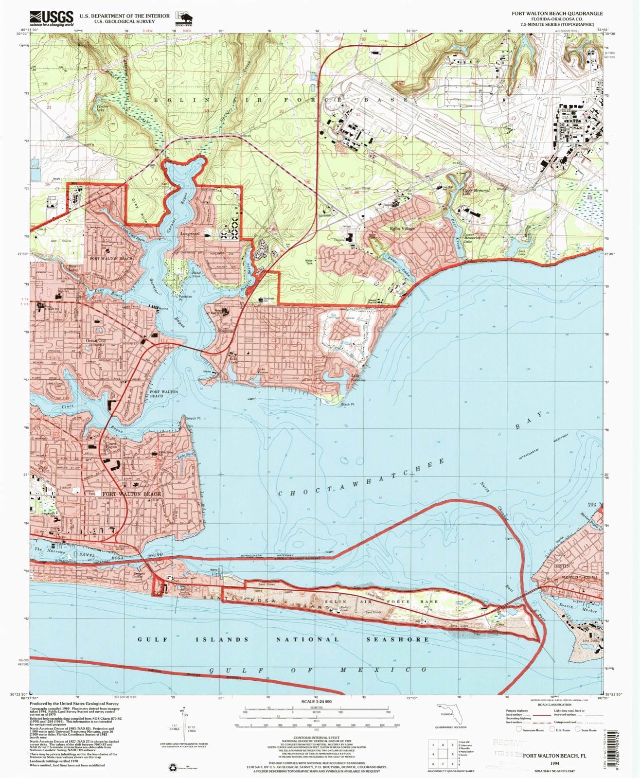
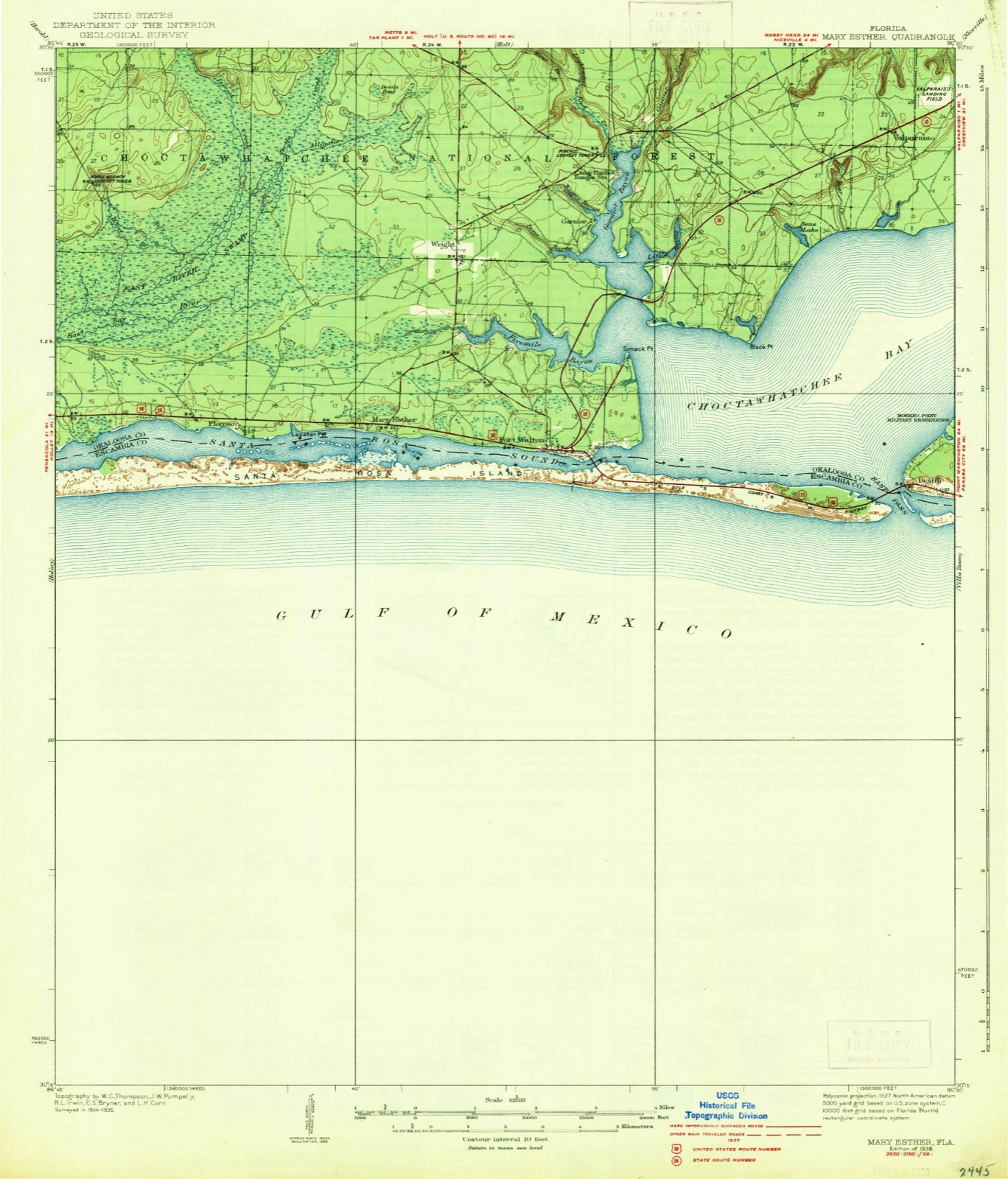
18 topographic sheets cover this place, the earliest surveyed in 1938 and the latest in 1994. It stands in the Fort Walton Beach census division. It lies in ZIP code area 32579. It stands on Chula Vista Bayou. The Survey maps it on the Fort Walton Beach quadrangle. 737 people lived here at the 2020 count. It stands 13 feet above sea level.
Then and now
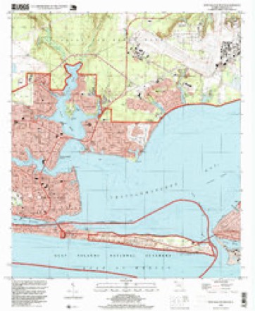
1938 to 1994The same ground, surveyed 56 years apart. Drag the handle to wipe between them. Both sheets are United States Geological Survey originals; neither has been altered.
Population over time
2 figuresShalimar grew from 717 to 737 between 2010 and 2020. These are the recorded population figures Wikidata holds for this place, reached through the Geographic Names Information System number this page is keyed on rather than by name, so they belong to this place and not to another of the same name. Most are census counts, but not all are: an early figure may be a founding or settlement estimate, and an estimate published within five years of a census is left out. The change column is computed, and is left blank where more than 20 years separate a figure from the one before it, because a gap that long is not a change between two counts.
| Year | People | Change |
|---|---|---|
| 2010 | 717 | |
| 2020 | 737 | +20 (+3%) |
Topographic sheets covering this place
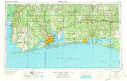
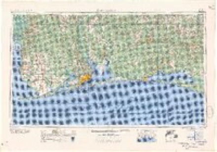
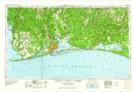
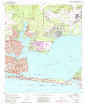
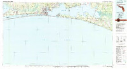
8 surveys from 18 printed sheetsMatched by testing this settlement's coordinate against the published boundary of every sheet in the United States Geological Survey's historical collection. Each opens the scanned sheet at the Survey.
- 1938 USGS Mary Esther quadrangle1:62500, 4 printings
- 1956 USGS Fort Walton Beach quadrangle1:62500, 2 printings
- 1957 USGS Pensacola quadrangle1:250000, 3 printings
- 1959 USGS Pensacola quadrangle1:250000
- 1960 USGS Pensacola quadrangle1:250000
- 1970 USGS Fort Walton Beach quadrangle1:24000, 4 printings
- 1978 USGS Fort Walton Beach quadrangle1:100000, 2 printings
- 1994 USGS Fort Walton Beach quadrangle1:24000
Fires near this place
2 since 2001Regional context, not property-specific evidence. The federal wildfire occurrence database lists 2 fires within 5 miles of Shalimar between 2001 and 2006, burning about 13 acres in total. None started naturally. None was recorded as arson. Distance is straight-line from the map coordinates, so a fire counted here may appear on a neighbouring settlement's page as well.
| Reported cause | Fires |
|---|---|
| Misuse of fire by a minor | 1 |
| Recreation and ceremony | 1 |
The most recent of them, most recent first, with the day each was reported and the service that recorded it.
| Date | Cause | Size | Reported by | Name on the report |
|---|---|---|---|---|
| 21 November 2006 | Recreation and ceremony | 10 acres | Florida Forest Service | 430 |
| 14 November 2001 | Misuse of fire by a minor | 3.0 acres | Florida Forest Service | not named |
Settlements close enough to share some of these fires:
Storms near this place
17 since 1997Regional context, not property-specific evidence. The National Weather Service names Shalimar in 17 storm reports between 1997 and 2023: 5 tornado, 4 thunderstorm wind, 3 flash flood, 2 hail. The reports record 1 injury. Each account below is quoted exactly as the forecast office filed it, from the NOAA Storm Events Database, and each date opens the federal record of that event.
| When | Event | Place named | Harm | What the report says |
|---|---|---|---|---|
| February 2000 | Lightning | Shalimar | 1 hurt | Several people were working on a baseball field late at night. A storm was approaching from the west and they were loading up their vehicles to get out of the storm. Lightning struck a fence and stunned seven people with one being taken to the hospital. A dog laying under one of the trucks was killed by the lightning. |
| September 1998 | Tornado (F1) | Shalimar | $300,000 | A tornado first touched down along the bay in Shalimar. The tornado damaged several homes as it moved northwest. Some of the homes had major roof damage. The tornado stayed on the ground for about a mile and lifted back into the cloud near State Highway 85. No one was injured. |
| February 2017 | Thunderstorm Wind | Shalimar | $250,000 | A severe thunderstorm moved across Okaloosa Island and Destin, which produced areas of straight line wind damage along and near U.S. Highway 98. Several building were damaged in and around Destin with significant roof damage to a few condos and businesses. An EMS vehicle was damaged on Okaloosa Island with one injury. Numerous trees and power lines were downed. Three gas stations pumps were blown over at a gas station in Destin. There were two wind measurements at Okaloosa Pier and on Choctawhatchee Bay that recorded wind gusts of 87 mph. Several land based stations recorded wind gusts in excess of 60 mph. |
| June 2007 | Lightning | Shalimar | $60,000 | A home was destroyed when a lightning strike caused a fire. No injuries. |
| August 2000 | Thunderstorm Wind | Shalimar | $60,000 | Strong thunderstorms over Choctawhatchee Bay produced a gust front of high winds which moved ashore near Shalimar. Trees were reported blown down along the shores of the bay in the vicinity of the community. A number of the trees fell onto rather expensive houses that were in the area, causing varied damages to those structures. In another section of the city, high winds also blew down numerous trees, one of which fell onto and damaged a mobile home. |
| June 2017 | Tornado (EF0) | Shalimar | $40,000 | The EF-0 tornado first touched down near Hollywood Blvd NE and tracked two and a half miles northeast, ending near the Falcon House Apartments. The path was non continuous and at times the only visible damage was at tree top level. The tornado produced roof damage to a couple of homes, along with damage to oak and pine trees. The tornado was near its strongest point as it moved over Ferry Park and produced damage at a baseball field. Damage values are estimated. |
| September 2002 | Tornado (F0) | Shalimar | $25,000 | A weak tornado moved off the bay and damaged a home near Shalimar. The storm also blew down trees and power lines near the home. Most of the damage to the home was to the roof and a couple of windows. |
| August 2023 | Flash Flood | Shalimar | - | Heavy rain caused standing water across Miracle Strip Parkway. |
| October 2022 | Tornado (EF0) | Shalimar | - | A waterspout moved onshore the afternoon of the 30th, tossing and|destroying a large shed based on numerous eyewitness reports and|video. The tornado was rated EF0 with winds up to 85mph. The|tornado dissipated quickly before reaching Highway 98. |
| April 2021 | Thunderstorm Wind | Shalimar | - | Weatherflow site XOFP on the Okaloosa Island Fishing Pier recorded an 85 mph thunderstorm wind gust. |
| April 2019 | Thunderstorm Wind | Shalimar | - | Weatherflow site on Okaloosa Fishing Pier. |
| May 2017 | Flash Flood | Shalimar | - | Heavy rain resulted in 3 feet of water over the roadway near the Cash Liquor store on Okaloosa Island. |
| April 2014 | Flash Flood | Shalimar | - | Heavy rain caused numerous roads to flood and be closed around the Ft. Walton beach area. |
| July 2013 | Flood | Shalimar | - | Minor street flooding reported on Okaloosa Island near the Emerald Coast Inn and Suites. |
| September 2008 | Tornado (EF0) | Shalimar | - | An outer rainband from Hurricane Gustav produced a waterspout that moved on shore near Shalimar. The weak EF0 tornado produced no damage. |
| July 2009 | Hail | Shalimar | - | no account filed |
| January 1997 | Hail | Shalimar | - | no account filed |
Nearest settlements
The eight closest, with where each one stands in the county. Distances are straight-line, computed from the Geographic Names Information System coordinates.
| Map | Place | Distance | Sheets |
|---|---|---|---|
| Lake Lorraine | 0.8 miles | 18 | |
| Longwood | 1.1 miles | 18 | |
| Garnier | 1.4 miles | 18 | |
| Ocean City | 1.9 miles | 18 | |
| Cinco Bayou | 2.3 miles | 18 | |
| Eglin Village | 2.4 miles | 18 | |
| Wright | 3.2 miles | 18 | |
| Fort Walton Beach | 3.5 miles | 18 |
Elsewhere
Matched on this settlement's Geographic Names Information System number rather than its name, so it cannot be a different place of the same name in another state.
| Wikipedia article on Shalimar | An encyclopaedic summary. Its text is share-alike, so it is linked here rather than copied. |
| Wikidata item Q1814665 | The structured record the population and elevation above come from. Public domain (CC0). |
Provenance
This settlement is recorded in the Geographic Names Information System as feature 290918. The sheet list is computed by point-in-boundary test against the United States Geological Survey's historical topographic inventory. Both are works of the United States government and carry no copyright under 17 U.S.C. 105.
Wildfire. Short, Karen C. 2022. Spatial wildfire occurrence data for the United States, 1992-2020 [FPA_FOD_20221014]. 6th Edition. Fort Collins, CO: Forest Service Research Data Archive. https://doi.org/10.2737/RDS-2013-0009.6 Collected with United States Government funding and usable without additional permissions or fees.
Storms. NOAA National Centers for Environmental Information, Storm Events Database https://www.ncei.noaa.gov/stormevents/ A work of the United States government, no copyright under 17 U.S.C. 105. Narratives are quoted verbatim from the National Weather Service report and are not edited or summarised.