 Block
BlockSimsville, Florida
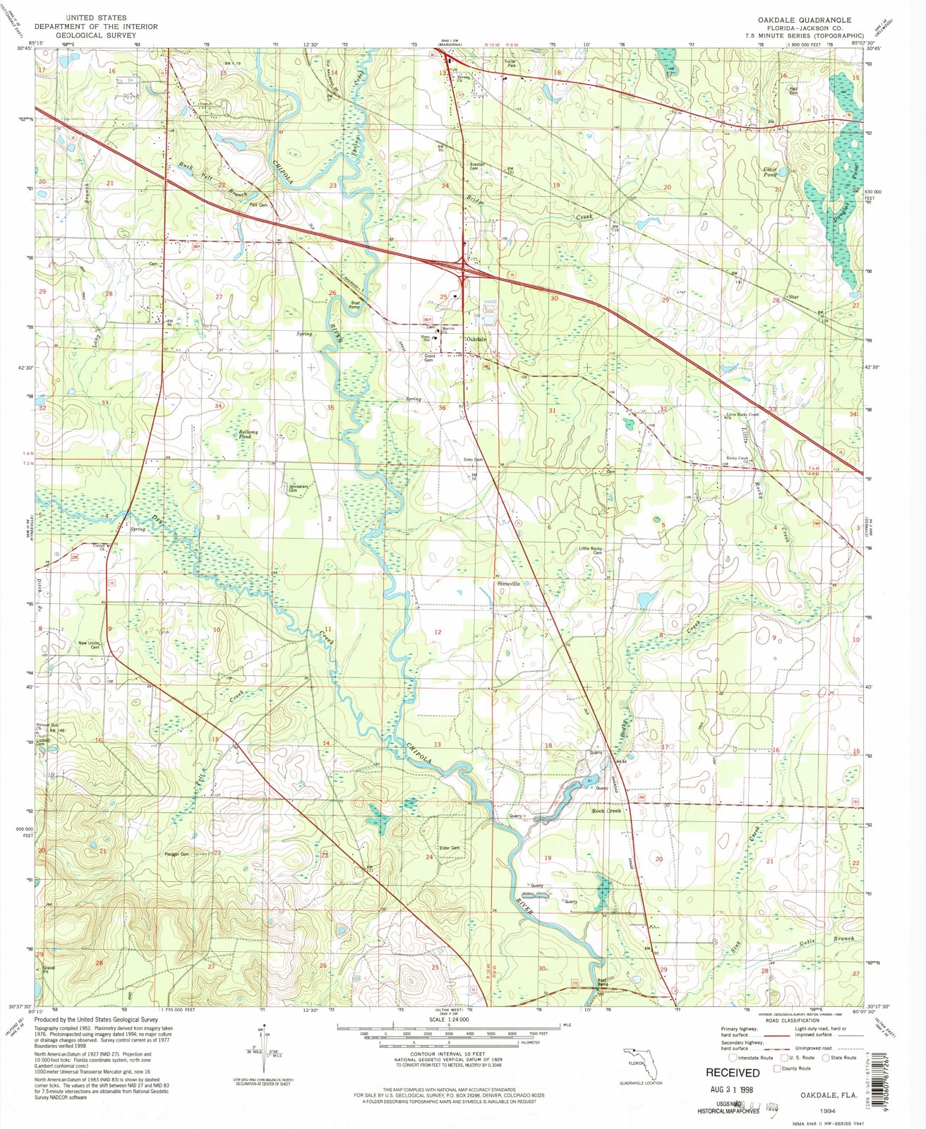
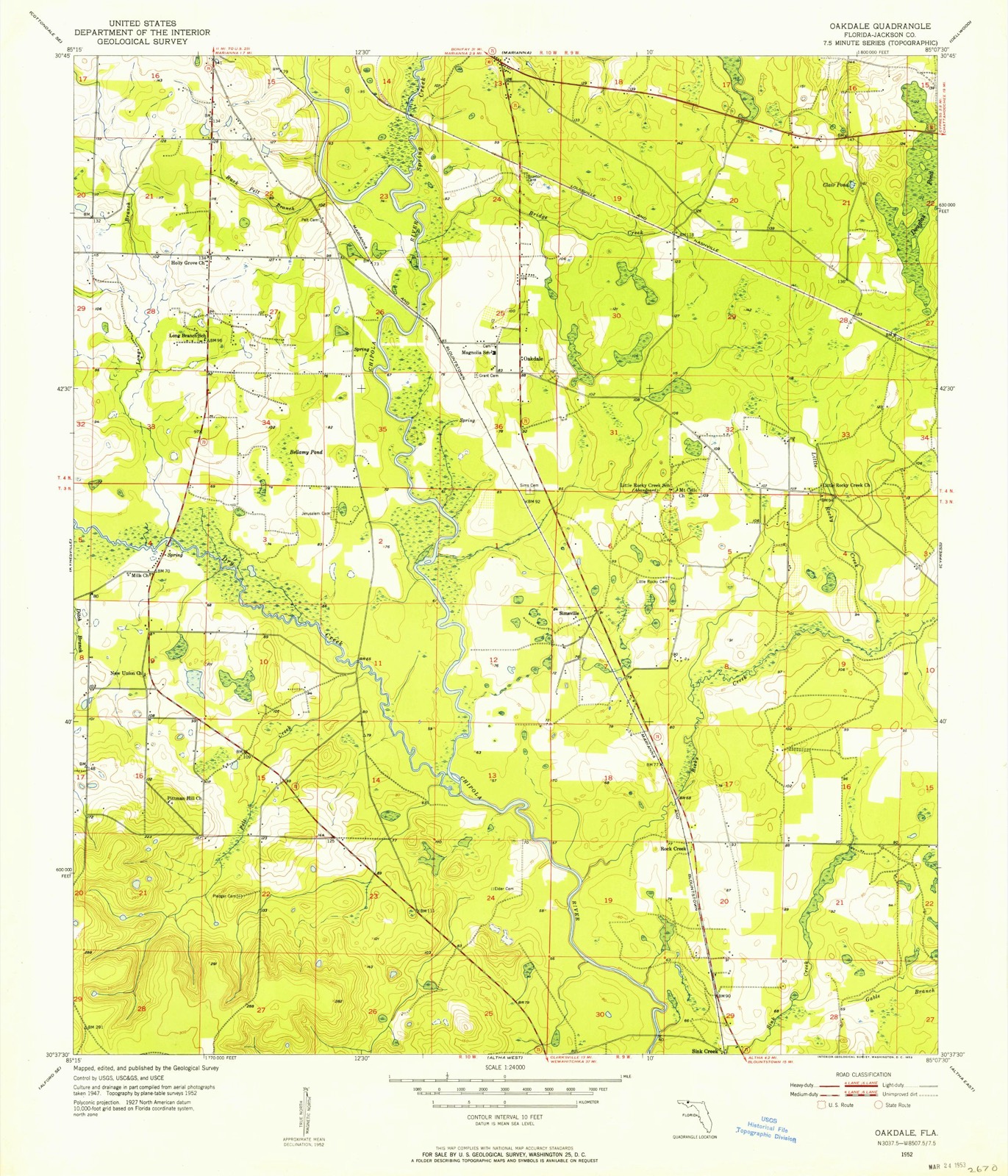
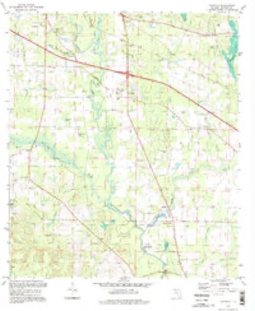
13 topographic sheets cover this place, the earliest surveyed in 1952 and the latest in 1994. It stands in the Cypress census division. It lies in ZIP code area 32448. The Survey maps it on the Oakdale quadrangle.
Then and now
1952 to 1994The same ground, surveyed 42 years apart. Drag the handle to wipe between them. Both sheets are United States Geological Survey originals; neither has been altered.
Compare 1952 against another survey:
Topographic sheets covering this place
8 surveys from 13 printed sheetsMatched by testing this settlement's coordinate against the published boundary of every sheet in the United States Geological Survey's historical collection. Each opens the scanned sheet at the Survey.
- 1952 USGS Oakdale quadrangle1:24000
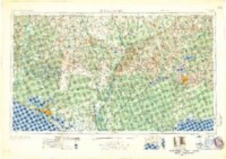
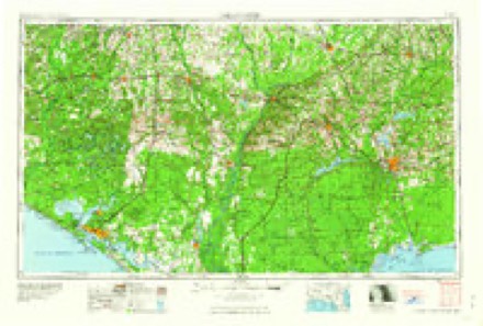
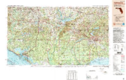
- 1954 USGS Tallahassee quadrangle1:250000, 4 printings
- 1959 USGS Tallahassee quadrangle1:250000
- 1960 USGS Tallahassee quadrangle1:250000
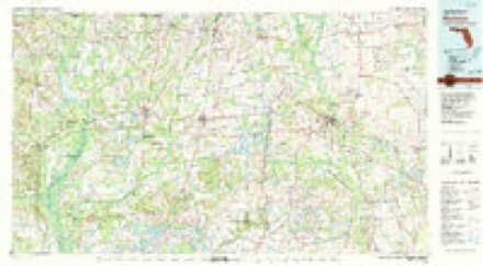
- 1979 USGS Marianna quadrangle1:100000, 2 printings
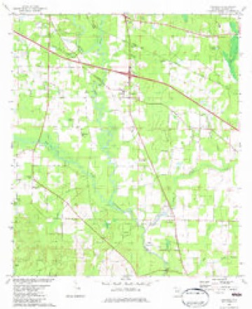
- 1982 USGS Oakdale quadrangle1:24000
- 1988 USGS Tallahassee quadrangle1:250000, 2 printings
- 1994 USGS Oakdale quadrangle1:24000
Fires near this place
137 since 1992Regional context, not property-specific evidence. The federal wildfire occurrence database lists 137 fires within 5 miles of Simsville between 1992 and 2020, burning about 593 acres in total. 10 started naturally. 4 were recorded as arson. Distance is straight-line from the map coordinates, so a fire counted here may appear on a neighbouring settlement's page as well.
| Reported cause | Fires |
|---|---|
| Debris and open burning | 48 |
| Railroad operations and maintenance | 26 |
| Equipment and vehicle use | 16 |
| Missing data/not specified/undetermined | 13 |
| Natural | 10 |
| Power generation/transmission/distribution | 6 |
| Smoking | 5 |
| Recreation and ceremony | 4 |
| Misuse of fire by a minor | 4 |
| Arson/incendiarism | 4 |
| Other causes | 1 |
The most recent of them, most recent first, with the day each was reported and the service that recorded it.
| Date | Cause | Size | Reported by | Name on the report |
|---|---|---|---|---|
| 9 September 1999 | Equipment and vehicle use | under an acre | Florida Forest Service | not named |
| 6 September 1999 | Railroad operations and maintenance | 1.0 acres | Florida Forest Service | not named |
| 3 September 2020 | Equipment and vehicle use | under an acre | Florida Forest Service | MILE MARKER 144 (32) |
| 24 September 2019 | Missing data/not specified/undetermined | 1.0 acres | Florida Forest Service | ELLENORA LN (32) |
| 23 September 2019 | Equipment and vehicle use | 2.0 acres | Florida Forest Service | MM145 EAST (32) |
| 22 September 2019 | Power generation/transmission/distribution | under an acre | Florida Forest Service | BUSH LOOP (32) |
| 20 September 2019 | Equipment and vehicle use | 2.0 acres | Florida Forest Service | PANDORA ROAD (32) |
| 17 September 1999 | Debris and open burning | 3.0 acres | Florida Forest Service | not named |
Settlements close enough to share some of these fires:
Mines and quarries near this place
9 within 5 milesRegional context, not property-specific evidence. The federal mineral resources record lists 9 workings within 5 miles of Simsville: 5 producers, 3 unknowns, 1 prospect. 5 still produce. What was taken out: Limestone, General, Stone, Crushed/Broken, Dolomite, Sand and Gravel, Construction. Distance is straight-line from the map coordinates, so a quarry counted here may appear on a neighbouring settlement's page as well.
| Where | Site | Commodity | Status | Recorded |
|---|---|---|---|---|
| Dolomite, Inc. - Rocky Creek | Dolomite | Producer | Limestone | |
| Dot Marianna - Hinson Mine | Sand | Unknown | Sand | |
| Marianna Mine | Sand and Gravel, Construction | Producer | ||
| Rocky Creek Mine | Stone, Crushed/Broken | Producer | ||
| Unnamed Ls Prospect | Stone, Crushed/Broken | Prospect | ||
| Dixie Lime Products - Sink Creek | Limestone, General | Producer | Limestone | |
| Green Valley Lime Company, Inc. - Sink Creek Mine | Limestone, General | Unknown | Limestone | |
| North Florida Rock, L.P. - Marianna Mine | Limestone, General | Unknown | Limestone | |
| Sink Creek Mine | Limestone, General | Producer |
Storms near this place
21 since 2009Regional context, not property-specific evidence. The National Weather Service names Simsville in 21 storm reports between 2009 and 2024: 10 thunderstorm wind, 9 flash flood, 1 flood, 1 tornado. The reports record 7 injuries. Each account below is quoted exactly as the forecast office filed it, from the NOAA Storm Events Database, and each date opens the federal record of that event.
| When | Event | Place named | Harm | What the report says |
|---|---|---|---|---|
| January 2024 | Tornado (EF2) | Simsville | 7 hurt, $5,000,000 | The tornado began in an open field that paralleled highway 73 in central Jackson county. The tornado continued to the northeast before crossing Pandora road where it uprooted a couple large pine trees, one of which fell on an older single wide trailer, which was completely destroyed. Another slightly newer single wide trailer had half of its roof peeled back and blown into the woods behind it to the northeast. The tornado continued to the northeast where it crossed Magnolia road. Several trees were uprooted and snapped along the road. A brand new manufactured home had half of its roof blown off. A trailer park along Mark lane had several large trees snapped or uprooted, and a few roofs were peeled back on some of the single wide homes in the subdivision. The tornado then went on to cross I-10 where an 18 wheeler was knocked over. After crossing I-10, the tornado paralleled Spring Creek road where it snapped and uprooted several large hardwood trees as well as peeled back part of the roof of a shed. The tornado continued to the northeast where it crossed U.S. Highway 90 where a majority of the damage and seven injuries occurred in an RV Park and neighborhood. Several mobile homes where significantly damaged or flipped upside down while being displaced several hundred feet. Several large pine trees where snapped at the base as well. In the subdivision just to the northeast of the RV Park on Rooks Drive, two residential family homes had their roofs completely blown off. A church just across the street from the homes off Merritts Mill road had a cinder block outbuilding collapse. The church building sustained some damage to the gable. The tornado continued to the northeast where several homes off of Janette Drive had partial roof damage as well as sporadic tree damage. The tornado continued to the northeast again through a wooded area before moving through Blue Spring subdivision where extensive damage was observed to the roofs and siding of a majority of the homes. Two homes off of Spring Chase Lane had their roofs blown off along with several large mature hardwoods being snapped at their base. The tornado reached its maximum intensity and width through this stretch just beyond U.S. Highway 90. The maximum width is estimated to be around 600 yards. From the Blue Springs Road subdivision, the tornado continued to the northeast parallel to Blue Springs Road where it snapped and uprooted several trees. The tornado continued along Blue Springs road where it damaged the roofs of several single wide manufactured homes. The tornado continued to the northeast where it collapsed the roof of another church outbuilding along Polar Springs road while also uprooting and snapping several trees on the church property. The tornado crossed Fort road to the northeast of the church where several trees were snapped and uprooted before continuing through a wooded area. The tornado crossed Wintergreen road where a few trees were uprooted along the road, before it dissipated over the field to the northeast of the road. The tornado was rated EF2 with max winds estimated at 125 mph. |
| April 2020 | Thunderstorm Wind | Simsville | $25,000 | A tree fell on a truck. |
| April 2015 | Flash Flood | Simsville | $10,000 | Iron Bridge Road near Dry Creek Road was closed due to possible bridge damage. Damage was estimated. |
| April 2015 | Flash Flood | Simsville | $5,000 | Portions of Biggs Road were washed out. Damage was estimated. |
| April 2015 | Flash Flood | Simsville | $5,000 | Portions of Josephine Road were washed out. Damage was estimated. |
| April 2015 | Flash Flood | Simsville | $5,000 | Portions of Maddox Road were washed out. Damage was estimated. |
| May 2017 | Thunderstorm Wind | Simsville | $2,000 | Power lines were blown down onto Collins Road south of I-10. |
| July 2013 | Thunderstorm Wind | Simsville | $1,000 | A tree was blown down on Iron Bridge Road near the Chipola River. |
| January 2024 | Thunderstorm Wind | Simsville | - | Trees were blown down into power lines on McCormick Road west of Highway 73 South. |
| April 2024 | Thunderstorm Wind | Simsville | - | A tree was blown down. |
| January 2023 | Thunderstorm Wind | Simsville | - | A power line was blown down at Pondview Ln. |
| January 2023 | Thunderstorm Wind | Simsville | - | Two large trees were blown down on Highway 71 south of Magnolia Rd. Several sheets of plywood were also blown into the highway from an under construction hotel parking lot. |
| September 2020 | Flash Flood | Simsville | - | Highway 71 was flooded near Whitetail Dr. |
| February 2017 | Thunderstorm Wind | Simsville | - | A tree was blown down near Rocky Creek Road and the SR-71 intersection. |
| February 2017 | Thunderstorm Wind | Simsville | - | A tree was blown down near Magnolia Road and the SR-71 intersection. |
| November 2015 | Flood | Simsville | - | Iron Bridge Road at Dry Creek Road was flooded and closed. |
| April 2014 | Flash Flood | Simsville | - | Flooding was reported at Highway 71S and Mission Road with water flowing over the roadway due to heavy rain in a short period of time. |
| April 2014 | Flash Flood | Simsville | - | Flooding was reported at Highway 71S and Rockey Creek Road with water flowing over the road due to heavy rain in a short period of time. |
| April 2014 | Flash Flood | Simsville | - | Flooding was reported at Mt Cello and Tobe way with water flowing over the road due to heavy rain in a short period of time. |
| April 2014 | Flash Flood | Simsville | - | Flooding was reported at Highway 73S and Laramore road with water flowing over the road due to heavy rain in a short period of time. |
| April 2009 | Thunderstorm Wind | Simsville | - | Florida DOT was dispatched to move downed trees on Rocky Creek Road in Oakdale. |
Nearest settlements
The eight closest, with where each one stands in the county. Distances are straight-line, computed from the Geographic Names Information System coordinates.
| Map | Place | Distance | Sheets |
|---|---|---|---|
| Rock Creek | 2.1 miles | 13 | |
| Oakdale | 2.1 miles | 13 | |
| Star | 3.2 miles | 13 | |
| Sink Creek | 4.2 miles | 13 | |
| Mallory Heights | 5.6 miles | 14 | |
| Cypress | 5.8 miles | 13 | |
| Alliance | 5.8 miles | 13 | |
| Marianna | 7.0 miles | 14 |
Provenance
This settlement is recorded in the Geographic Names Information System as feature 294926. The sheet list is computed by point-in-boundary test against the United States Geological Survey's historical topographic inventory. Both are works of the United States government and carry no copyright under 17 U.S.C. 105.
Wildfire. Short, Karen C. 2022. Spatial wildfire occurrence data for the United States, 1992-2020 [FPA_FOD_20221014]. 6th Edition. Fort Collins, CO: Forest Service Research Data Archive. https://doi.org/10.2737/RDS-2013-0009.6 Collected with United States Government funding and usable without additional permissions or fees.
Mines and quarries. USGS Mineral Resources Data System (MRDS) https://mrdata.usgs.gov/mrds/ A work of the United States government, no copyright under 17 U.S.C. 105.
Storms. NOAA National Centers for Environmental Information, Storm Events Database https://www.ncei.noaa.gov/stormevents/ A work of the United States government, no copyright under 17 U.S.C. 105. Narratives are quoted verbatim from the National Weather Service report and are not edited or summarised.