 Block
BlockFrom the record
12 National Register listings published here.
Sources: the National Register database, National Park Service
83 topographic sheets cover 53 settlements here, and 12 properties are on the National Register of Historic Places.
12 National Register listings published here.
Sources: the National Register database, National Park Service
Every property in this county listed on the National Register of Historic Places, with the year it was listed and the federal nomination document.
| Photograph | Property | Type | Listed | Reference |
|---|---|---|---|---|
| Bellamy Bridge | structure | 2019 | 100004517 | |
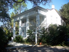 | Ely-Criglar House | building | 1972 | 72000326 |
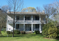 | Erwin House | building | 1974 | 74000642 |
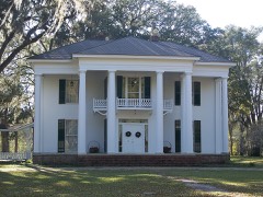 | Great Oaks | building | 1972 | 72000325 |
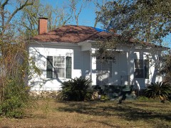 | Longwood House | building | 2017 | 100001735 |
 | Marianna Historic District | district | 1997 | 97000456 |
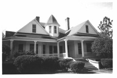 | Robert Lee Norton House | building | 1996 | 96000914 |
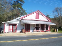 | Pender's Store | building | 1974 | 74000643 |
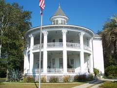 | Joseph W. Russ Jr. House | building | 1983 | 83001425 |
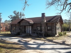 | Sneads Community House and Old Pump | building | 2017 | 100001390 |
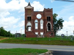 | St. Luke Baptist Church | building | 2003 | 03000008 |
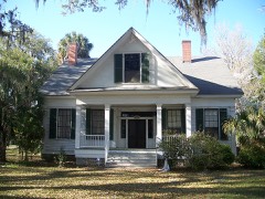 | Theophilus West House | building | 1972 | 72000328 |
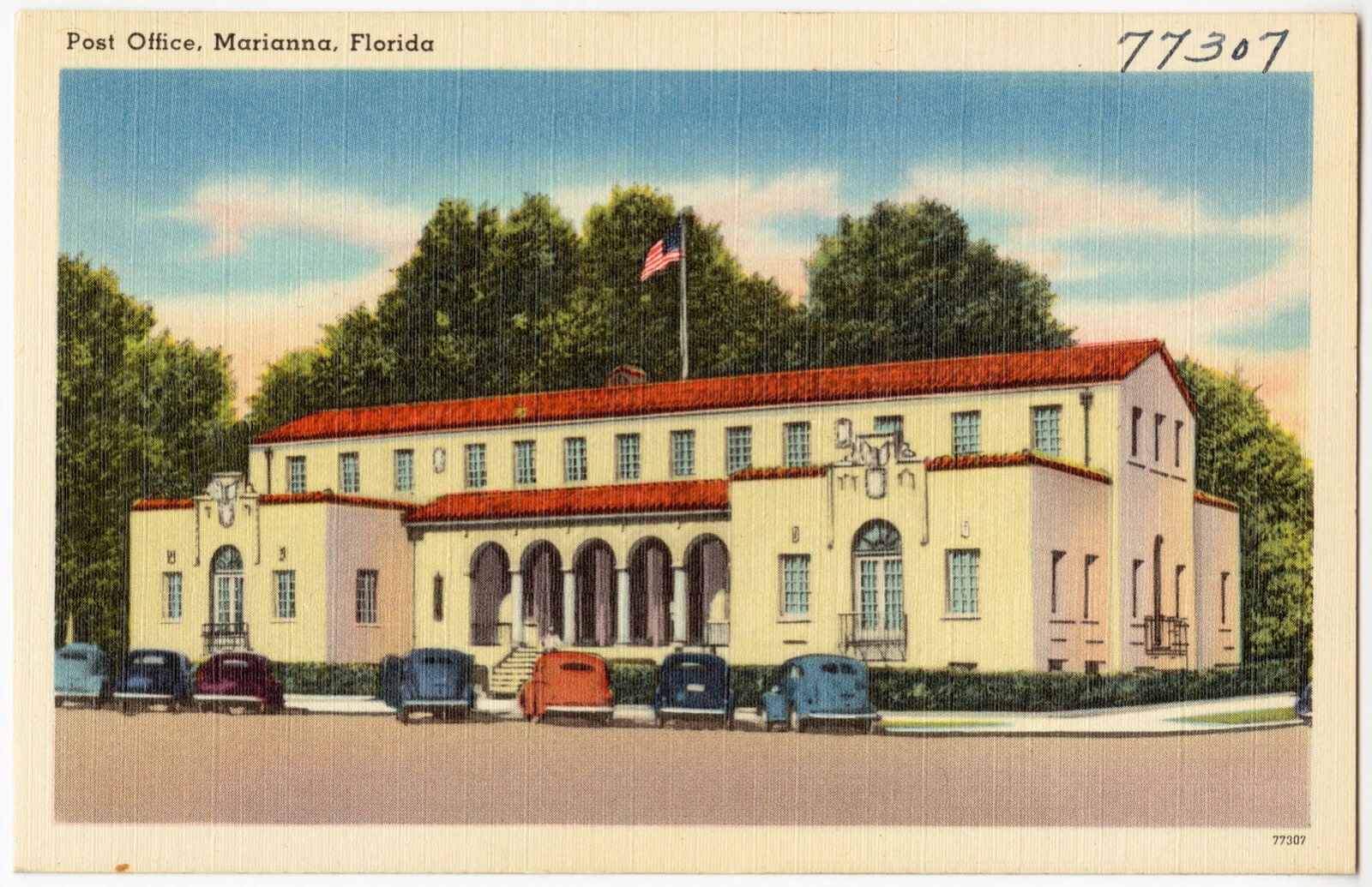
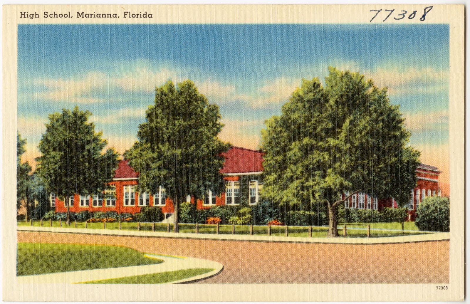
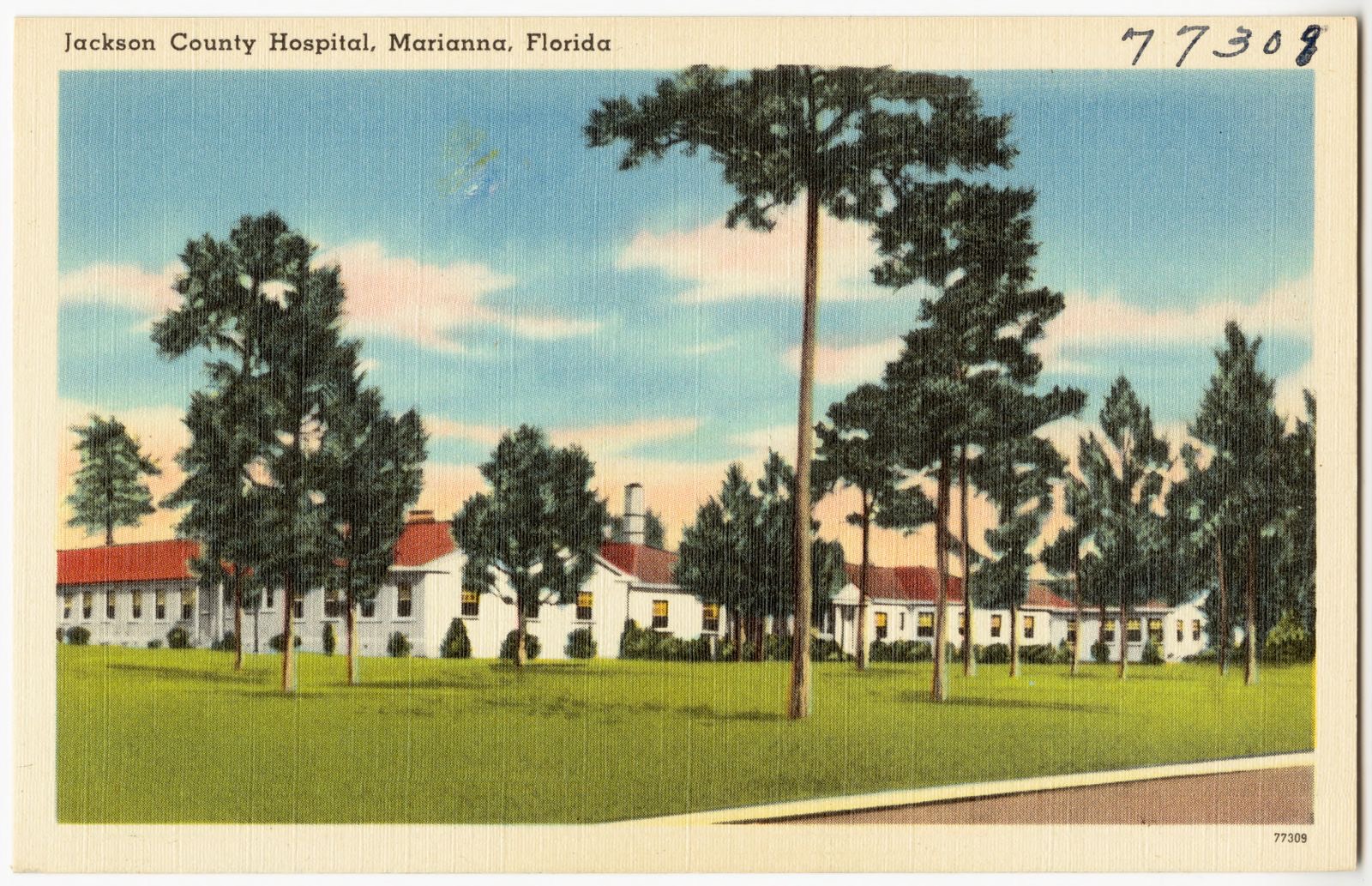
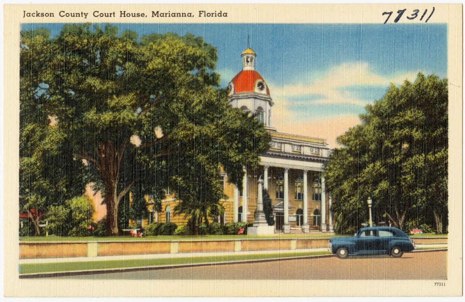
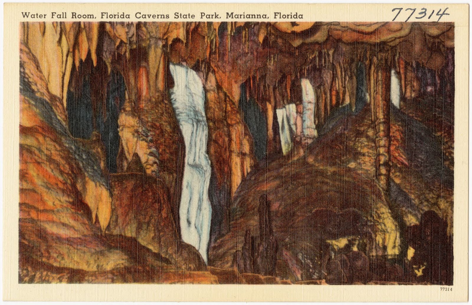
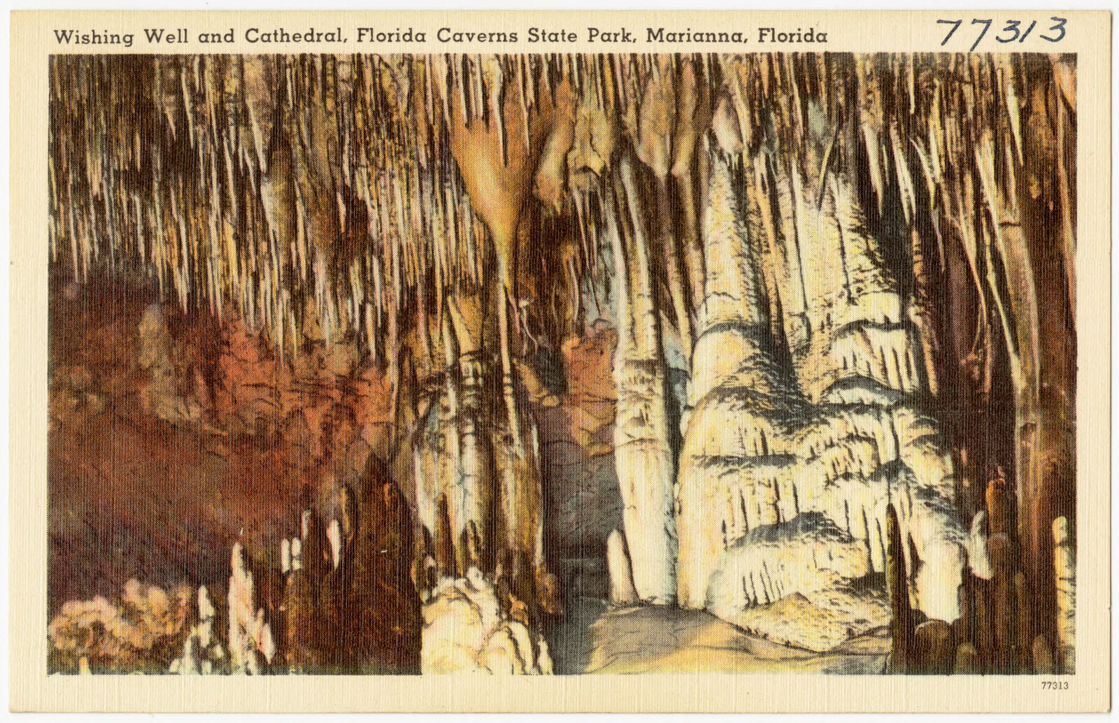
Selected from the Digital Public Library of America's 14 image records catalogued for this county. Every one shown here carries a public-domain status or a licence that permits reuse on a site that carries advertising; non-commercial, share-alike and restricted images are excluded. The selection is spread across the county's towns (at most eight per town), so no single institution's bulk upload crowds out the rest. Each opens the holding library's record, and the complete set at the Digital Public Library of America is one click away.



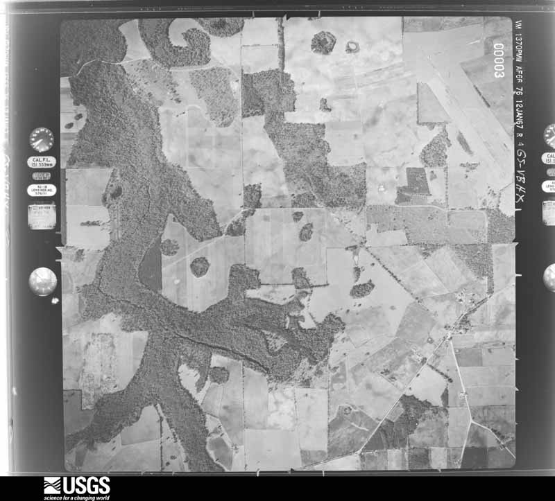
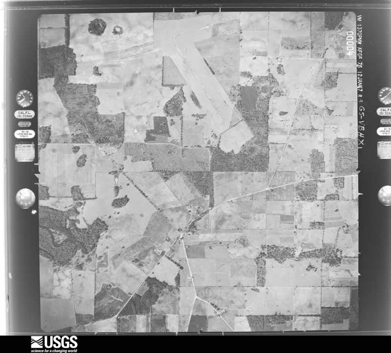
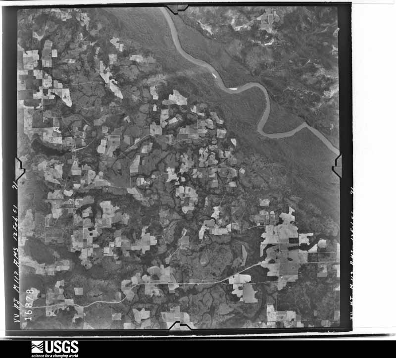
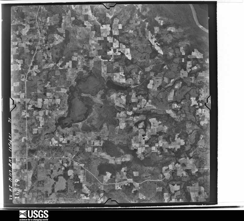
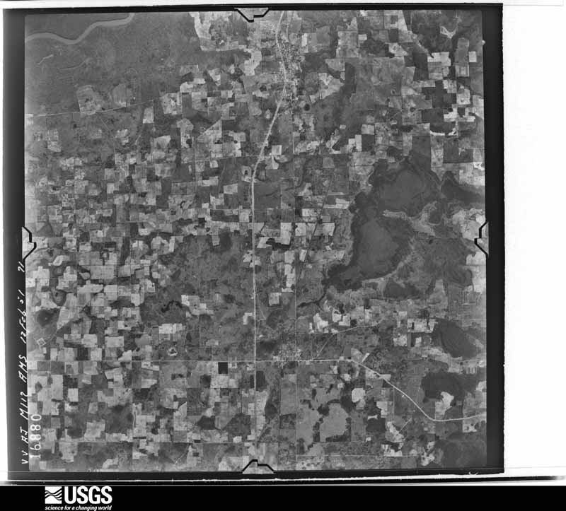
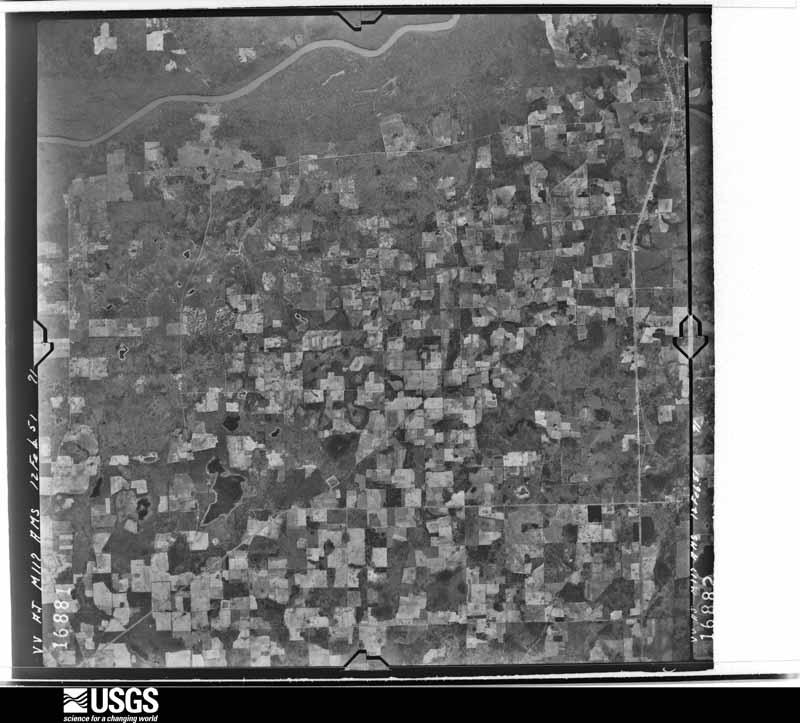
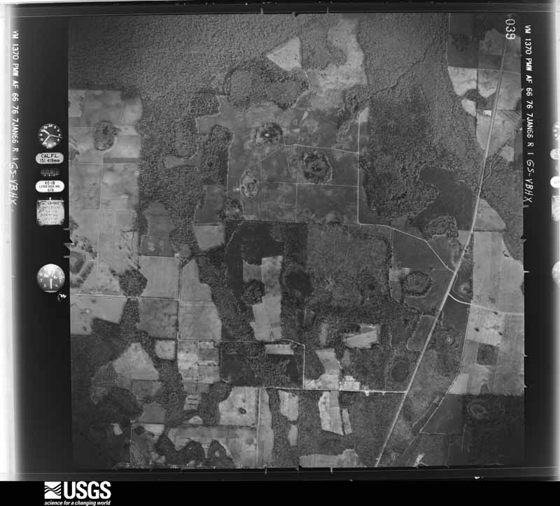
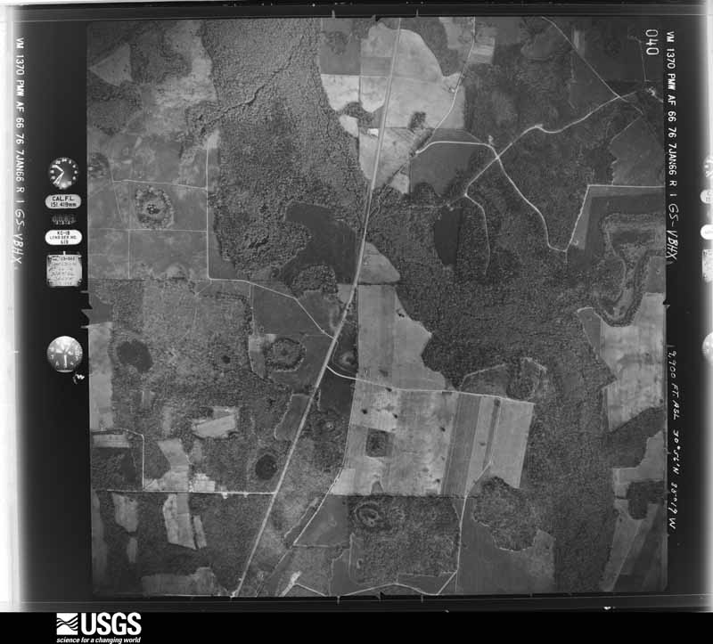
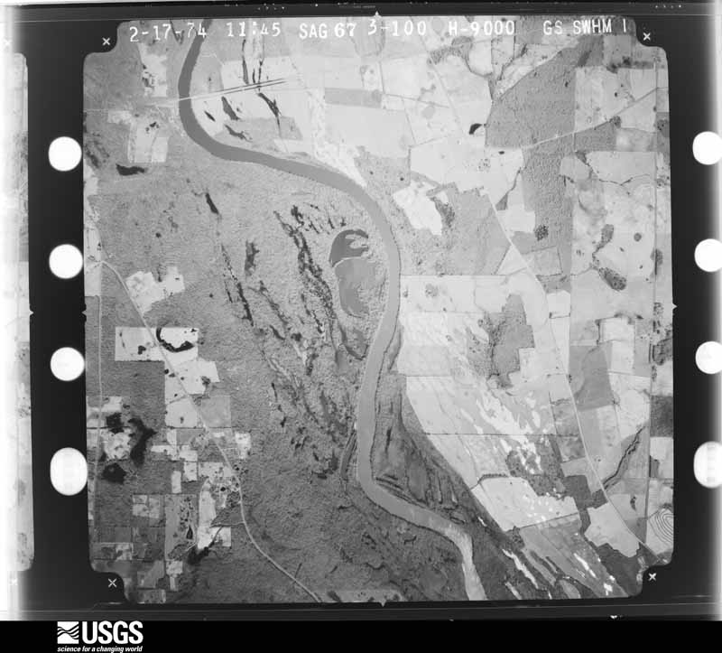
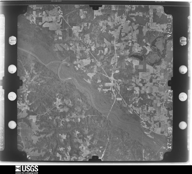
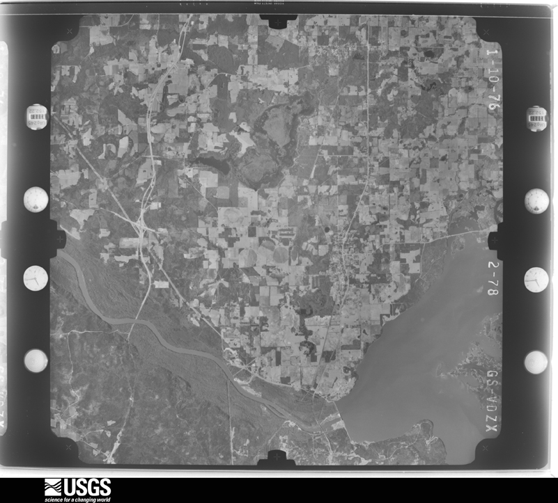
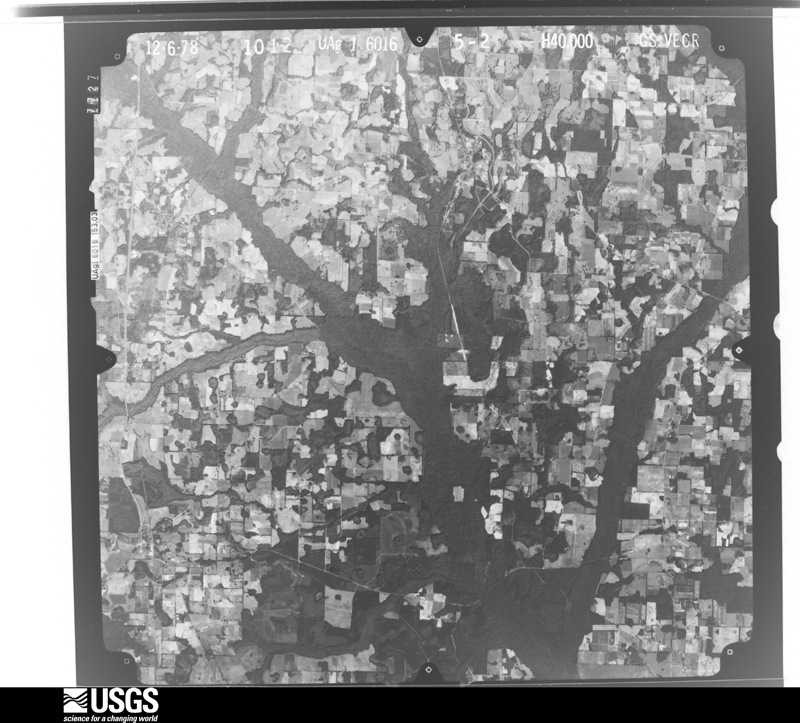
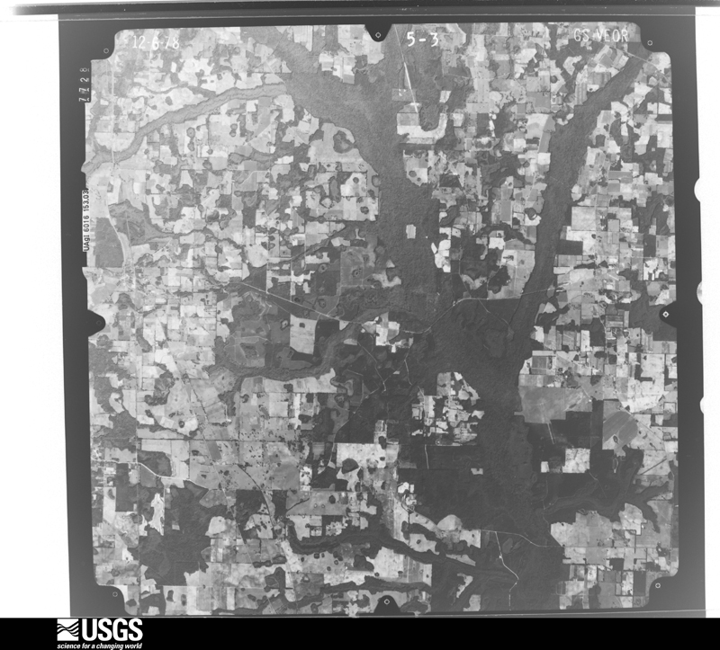
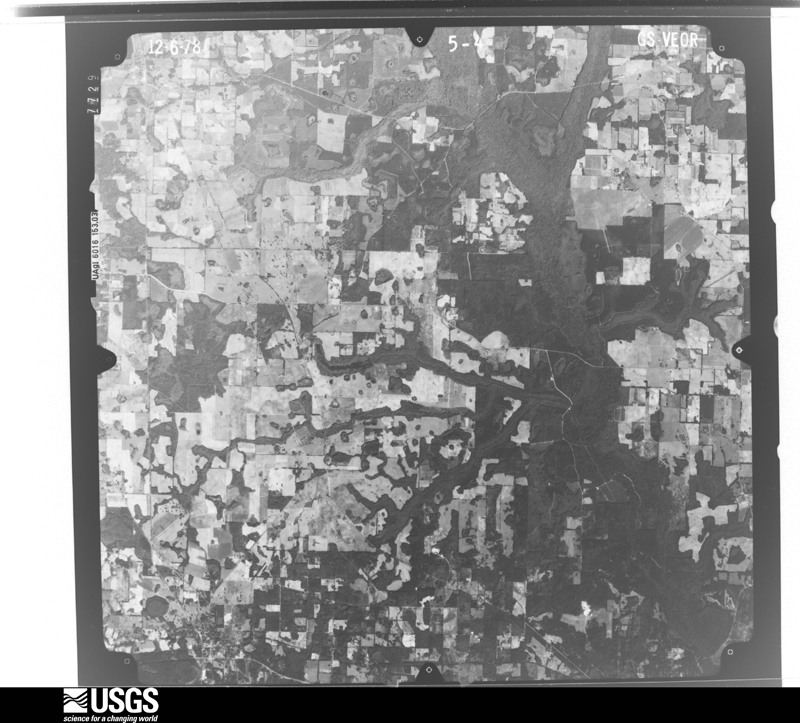
Flown by the U.S. Geological Survey between 1937 and 1989, the Aerial Photo Single Frames collection is the definitive mid-century view of the land: fields, roads and rivers as the camera saw them. The Survey holds 800 frames inside the rectangle that bounds this county; the 29 frames below were taken over the county itself, chosen across the decades of flights (at most four a year from that rectangle), so one flight cannot crowd out the rest. The full set is free to browse and download at EarthExplorer under the dataset Aerial Photo Single Frames.

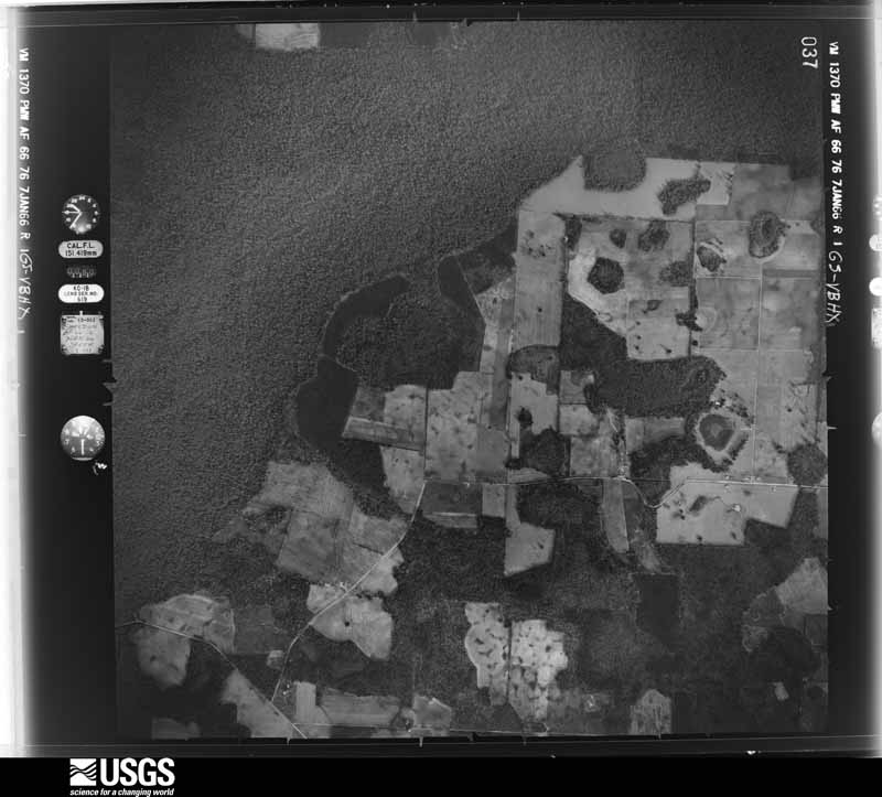
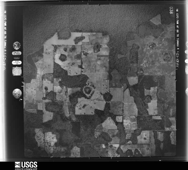
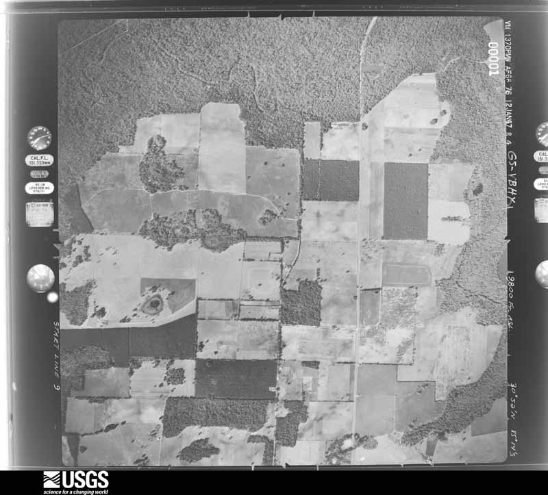
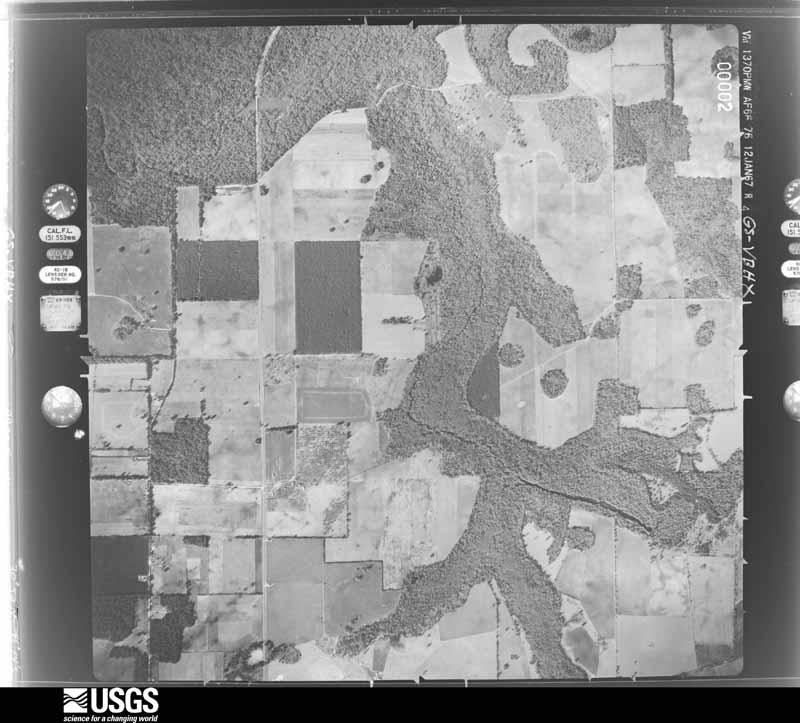










The thermometers that kept this county's weather, and the gages that measured the flow of its streams, as the federal records hold them. The extremes below are measured values from those records, not estimates.
Who lived here in 1950, one enumeration district at a time, as the Census Bureau described each district. Each row opens its official National Archives result, with Population Schedules and ED Maps available there.
Every wildfire the federal occurrence database records inside this county: 1,600 of them, burning about 7,651 acres. 76 started naturally and 71 were recorded as arson. Each settlement page carries the fires within five miles of it.
| Reported cause | Fires |
|---|---|
| Debris and open burning | 579 |
| Railroad operations and maintenance | 290 |
| Equipment and vehicle use | 195 |
| Missing data/not specified/undetermined | 170 |
| Smoking | 92 |
| Natural | 76 |
| Arson/incendiarism | 71 |
| Misuse of fire by a minor | 38 |
| Power generation/transmission/distribution | 34 |
| Recreation and ceremony | 31 |
| Other causes | 21 |
| Fireworks | 3 |
The five largest, by the area the report gives. One of them was set deliberately.
| Date | Cause | Size | Reported by | Name on the report |
|---|---|---|---|---|
| 12 February 2012 | Arson/incendiarism | 225 acres | Florida Forest Service | BUMP NOSE ROAD ( 32 ) |
| 15 November 2011 | Debris and open burning | 200 acres | Florida Forest Service | HWY 2 (32) |
| 29 March 2017 | Missing data/not specified/undetermined | 180 acres | Alabama Forestry Commission | ROUGH ROAD |
| 13 February 1996 | Equipment and vehicle use | 150 acres | Florida Forest Service | not named |
| 17 September 1995 | Natural | 90 acres | Florida Forest Service | not named |
| 18 February 1996 | Smoking | 75 acres | Florida Forest Service | not named |
| 9 June 2011 | Natural | 75 acres | Florida Forest Service | BRIDGECREEK RD (32 ) |
| 24 September 2019 | Debris and open burning | 73 acres | Florida Forest Service | BLUEBERRY DRIVE (32) |
Every settlement page carries the fires within five miles of it - see the settlement index below.
The NOAA Storm Events Database holds 632 reports for this county, causing no deaths, 31 injuries and about $37,767,500 in recorded property damage. Each settlement page carries the reports that name it.
| Kind of event | Reports |
|---|---|
| Thunderstorm Wind | 388 |
| Flash Flood | 91 |
| Hail | 52 |
| Tornado | 50 |
| Flood | 27 |
| Heavy Rain | 9 |
| Funnel Cloud | 8 |
| Lightning | 7 |
The most serious of them, by death, then injury, then recorded damage. The accounts are quoted exactly as the forecast office filed them.
| When | Event | Place named | Harm | What the report says |
|---|---|---|---|---|
| January 1975 | Tornado (F2) | not stated | 15 hurt, $250,000 | no account filed |
| January 2024 | Tornado (EF2) | Simsville | 7 hurt, $5,000,000 | The tornado began in an open field that paralleled highway 73 in central Jackson county. The tornado continued to the northeast before crossing Pandora road where it uprooted a couple large pine trees, one of which fell on an older single wide trailer, which was completely destroyed. Another slightly newer single wide trailer had half of its roof peeled back and blown into the woods behind it to the northeast. The tornado continued to the northeast where it crossed Magnolia road. Several trees were uprooted and snapped along the road. A brand new manufactured home had half of its roof blown off. A trailer park along Mark lane had several large trees snapped or uprooted, and a few roofs were peeled back on some of the single wide homes in the subdivision. The tornado then went on to cross I-10 where an 18 wheeler was knocked over. After crossing I-10, the tornado paralleled Spring Creek road where it snapped and uprooted several large hardwood trees as well as peeled back part of the roof of a shed. The tornado continued to the northeast where it crossed U.S. Highway 90 where a majority of the damage and seven injuries occurred in an RV Park and neighborhood. Several mobile homes where significantly damaged or flipped upside down while being displaced several hundred feet. Several large pine trees where snapped at the base as well. In the subdivision just to the northeast of the RV Park on Rooks Drive, two residential family homes had their roofs completely blown off. A church just across the street from the homes off Merritts Mill road had a cinder block outbuilding collapse. The church building sustained some damage to the gable. The tornado continued to the northeast where several homes off of Janette Drive had partial roof damage as well as sporadic tree damage. The tornado continued to the northeast again through a wooded area before moving through Blue Spring subdivision where extensive damage was observed to the roofs and siding of a majority of the homes. Two homes off of Spring Chase Lane had their roofs blown off along with several large mature hardwoods being snapped at their base. The tornado reached its maximum intensity and width through this stretch just beyond U.S. Highway 90. The maximum width is estimated to be around 600 yards. From the Blue Springs Road subdivision, the tornado continued to the northeast parallel to Blue Springs Road where it snapped and uprooted several trees. The tornado continued along Blue Springs road where it damaged the roofs of several single wide manufactured homes. The tornado continued to the northeast where it collapsed the roof of another church outbuilding along Polar Springs road while also uprooting and snapping several trees on the church property. The tornado crossed Fort road to the northeast of the church where several trees were snapped and uprooted before continuing through a wooded area. The tornado crossed Wintergreen road where a few trees were uprooted along the road, before it dissipated over the field to the northeast of the road. The tornado was rated EF2 with max winds estimated at 125 mph. |
| September 2004 | Tornado (F2) | Marianna | 3 hurt, $3,000,000 | A strong F2 tornado touched down about four miles west of Cypress. It damaged 10 mobile homes and destroyed 25 others in the Gold Drive Trailer Park. Three occupants were injured. The tornado moved northwest and damaged 10 mobile homes in the Brogdon Lane Trailer Park on U.S. Highway 90 just east of Marianna. It caused significant damage to the Federal Correctional Institution and destroyed eight vehicles. Before lifting, the tornado destroyed the Sykes Enterprise facility and some vehicles near the Marianna Municipal Airport. Reported by the Jackson County EMA. |
| March 2003 | Tornado (F2) | Grand Ridge | 3 hurt, $500,000 | A tornado touched down in Cypress, just west of Grand Ridge, and traveled northeast before lifting to the north of Sneads. Two mobile homes and a single-family home were destroyed. 15 single-family and mobile homes were damaged. Numerous trees and power lines were down. One person was seriously injured and two sustained minor injuries. Reported by the Jackson County EMA and CAP/NWS aerial survey team. |
| October 1989 | Tornado (F1) | not stated | 1 hurt, $250,000 | no account filed |
| September 2002 | Tornado (F0) | Graceville | 1 hurt, $150,000 | A tornado touched down just south of Graceville and moved northwest. Much of the damage occurred on Spruce Road, Shadow Lane and State Highway 77. Four homes were damaged. One barn was destroyed, while the roof from another barn was blown a quarter mile away. Numerous trees and power lines were snapped. An estimated 440 customers in Graceville were without power. A man was injured when the roof of his auto shop collapsed. Reported by the Jackson County EMA. |
| July 2014 | Lightning | Grand Ridge | 1 hurt, $10,000 | A car was struck by lightning on I-10 near the Grand Ridge exit. Significant damage occurred to the vehicle and the person inside was transported to the hospital. |
| September 2020 | Flash Flood | Graceville | $7,000,000 | The Jackson County Sheriffs Office Facebook page reported many roads flooded in the county. Damage cost was estimated. |
| April 2014 | Flood | Richter Crossroads | $6,690,000 | Major flooding occurred across Jackson county at the end of the month due to a combination of very heavy rainfall and already saturated conditions. Many roads in the county sustained damage with damage estimated at $6,691,424. |
| April 1988 | Tornado (F2) | not stated | $2,500,000 | no account filed |
| April 1975 | Tornado (F1) | not stated | $2,500,000 | no account filed |
| February 2013 | Flood | Graceville | $1,880,000 | Significant areal flooding occurred across Jackson county due to prolonged periods of moderate to heavy rainfall. Four day rainfall totals of 8-12 inches were estimated across the county between Feb 22-26. The emergency manager estimated over $1.8 million in damages across the county, mainly due to road repair. |
| June 2013 | Lightning | Blue Springs | $600,000 | Lightning caused a house fire at 2878 Magnolia Blossom Lane in the Indian Springs subdivision east of Marianna. The Jackson County Floridian newspaper article stated that damages to the house and its contents totaled around $600,000. The time of the strike was estimated by lightning data. |
| April 2011 | Tornado (EF1) | (Mai)Marianna Municipal Arpt | $500,000 | An EF1 tornado touched down at the Marianna Municipal Airport. Seven small Cessna aircraft were damaged or destroyed and several nearby homes received damage as well. Several trees were snapped in the area. The damage path was intermittent for 3 miles to the east of the airport with maximum winds estimated at 90 mph and a maximum path width of 150 yards. The monetary damage figure provided is a rough estimate. |
| March 2009 | Thunderstorm Wind | Marianna | $500,000 | Numerous trees and power lines were down across the center of the city. Several homes, apartments and vehicles were damaged by fallen trees. Power outages affected much of the city. A large section of roof from a warehouse at the intersection of Franklin and Jefferson Street was peeled off. |
| March 2001 | Tornado (F2) | Round Lake | $500,000 | The F2 tornado that touched down near Wausau in southeast Washington County, raced northeast across the Washington-Jackson County line and hit the Round Lake community just south of Alford before it dissipated. Fifteen homes were severely damaged and two homes were destroyed. A gift shop on U.S. Highway 231 was destroyed. There were numerous downed trees and power lines. Reported by the Jackson County EMA. |
| March 1996 | Tornado (F1) | Malone | $500,000 | no account filed |
| December 2000 | Tornado (F1) | Graceville | $300,000 | The supercell thunderstorm which spawned an F2 tornado near Bonifay in southeast Holmes County, tracked northeast into northwest Jackson County. This storm produced an F1 tornado which touched down twice. The hardest hit areas were just south of Graceville along Highway 77 and near the Springhill subdivision on Highway 273. Numerous trees were uprooted, knocking out power lines as they fell. Many mobile home roofs were blown off and carports damaged. Considerable debris blocked several county roads. Nearly 3,000 customers were without power for five hours. Reported by the Jackson County EMA and Jackson County Floridan. |
| May 1999 | Thunderstorm Wind | Marianna | $300,000 | Jackson County EMA reported numerous trees and power lines down with scattered outages. Some residences suffered roof damage. Highway 90 was closed for several hours due to fallen trees and high water. |
| June 1999 | Lightning | Graceville | $300,000 | Lightning ricocheted off a tree and struck the roof of the Christian Memorial Chapel funeral home. The blaze gutted the visitation room and destroyed 75 percent of the structure. |
| January 2024 | Tornado (EF1) | Richter Crossroads | $250,000 | This tornado started in Jackson county and continued into Houston county. The Jackson county portion of the tornado is rated as an EF1. The Houston county portion of the tornado is rated EF2 with max winds estimated at 130 mph. This tornado touched down in a swampy area, just east of Holmes Creek in northwest Jackson County. The tornado initially uprooted and snapped several softwood and hardwood trees, along Hickshill Road and in addition, it damaged an outbuilding there. The tornado continued northeast, damaging more hardwood and softwood trees along Piano Road. The first structure to be impacted by this tornado was a double-wide manufactured home on the northern side of Piano Road. Additional softwood and hardwood trees were snapped and uprooted along Danford Bay Road. Tree damage continued along Orchid Road, Damascus Church Road and Layton Road as the tornado continued to progress northeastward. An outbuilding was damaged along Orchid Road, and a single-family home suffered significant roof damage along Layton Road. The tornado then destroyed two ninety foot, seventy-year-old concrete silos. Damage was found along the entire length of Everett Road which was composed of the snapping and uprooting of trees, along with damage to an outbuilding and a mobile home succumbing to window damage. More trees were damaged along Heislar Road and Peanut Road as the tornado continued its northeastward trek. A single-family home on Peanut Road suffered significant roof damage. When the tornado reached Shiloh Church Loop, a single-family home suffered significant roof damage. The tornado continued to move northeast across Highway 2 where more softwood and hardwood trees were uprooted and snapped. Most of the damage to this point is classified as EF-1. Before the tornado crossed into Alabama, it damaged the roof of a small business on US-231. After crossing into Houston County Alabama, the tornado produced a continuous swath of damage on either side of State Line Road all the way towards the city of Cottonwood. This is also consistent of EF-1 damage. The first instance of EF-2 damage was when the tornado approached Cottonwood proper, along Ramer Loop rolling a single-wide mobile home, destroying it, despite it being well strapped. As the tornado moved through downtown Cottonwood, numerous small businesses sustained damage, ranging from blown out windows, roof damage and in one case the failure of the front-facing brick facade. Additional EF-2 damage occurred when the tornado removed the entire roof of a large two-story home. The tornado continued its northeastward jog, leaving Cottonwood proper, and commenced to destroy a two-story Moose Lodge that was composed of cinder-blocks resulting in another instance of EF-2 damage. The most significant tree damage noted on this survey occurred when the tornado paralleled Dyers Road, thus snapping numerous hardwood and softwood trees. The most significant damage along this northeastward path occurred on September Road where a double-wide home was completely destroyed, and resulted in one fatality. As the tornado continued to move northeast to across Whitaker Road and Creek Church Road, EF-1 tree damage was noted. The tornado caused mainly EF-0 damage to softwood and hardwood trees along Green Frog Road and Ed Tolar Road. One last structural damage occurred to a single-family home where it caused significant roof damage before lifting near the Chattahoochee River. In summary, while most damage was EF-1, there were instances of EF-2 damage with the max wind of 130 mph. In addition to the one fatality, there were also ten direct injuries from the tornado and an additional six indirect injuries during the response phase of the disaster, all in the Cottonwood area. Thanks to Houston County and Jackson County Emergency Management for assistance with this damage survey. |
| April 2020 | Tornado (EF2) | Steele City | $250,000 | Initial damage was noted near the intersection of Owen Place and Piney Grove Roads. From the touchdown point, damage, consisting of hundreds of snapped and uprooted trees, was continuous right to the Jackson County border along Corbin Rd. The tornado|intensified as it moved across Jackson County. In addition to downing many hundreds of trees there was significant structural damage at two locations. The first was at a farm off Farren Ranch Road where a two story outbuilding/home was completely|destroyed with debris thrown several hundred yards. The second was along Bethlehem Rd. south of Kynesville Rd. where several mobile homes suffered significant damage. One of the mobile homes was completely destroyed with it's frame wrapped into a tree. |Fortunately the mobile home was vacant at the time. |
| March 2002 | Thunderstorm Wind | Marianna Muni Arpt | $250,000 | The roof of an airport hanger was blown off and destroyed a nearby plane. A platform in front of a car dealership fell across power lines on Lafayette Street. Reported by the Jackson County EMA. |
| December 1989 | Tornado (F1) | not stated | $250,000 | no account filed |
| February 1986 | Tornado (F1) | not stated | $250,000 | no account filed |
| June 1983 | Tornado (F1) | not stated | $250,000 | no account filed |
| February 1975 | Tornado (F1) | not stated | $250,000 | no account filed |
| April 2014 | Tornado (EF1) | Richter Crossroads | $200,000 | This tornado touched down a half mile or so east of Highway 77 south of Graceville. Damage was mostly to trees, but several homes were also damaged. One was severely damaged when a large oak tree toppled onto it. Damage to trees and to one home east of Highway 77 was consistent with EF1 damage with peak winds around 110 mph. This tornado also exhibited a debris signature on dual-pol radar. Monetary damage was estimated. |
| March 2000 | Tornado (F1) | Grand Ridge | $200,000 | An F1 tornado downed a hundred large pine trees and damaged a pump house, mobile home, and a barn. Reported by a storm spotter. |
| February 2000 | Thunderstorm Wind | Marianna | $125,000 | Scattered trees and power lines down. Minor structural damage to some homes. Reported by the Jackson County EMA. |
| July 2000 | Thunderstorm Wind | Southwest Portion | $125,000 | Two homes sustained minor damage and one home received moderate damage. Some trees down. Reported by the Jackson County EMA. |
| June 2002 | Thunderstorm Wind | Countywide | $115,000 | Numerous trees and power lines down in the Rocky Creek area, about four miles southeast of Marianna. Large trees fell on three trailers and caused heavy damage. The Rocky Creek Community Church front awning was destroyed by a fallen tree. A nearby horse shed was damaged. Several county roads were blocked by fallen trees and power lines. In Marianna, a section of wall to a business on Jefferson Street collapsed, and an awning to a business on U.S. Highway 90 was destroyed. |
| March 2022 | Tornado (EF1) | Alford | $100,000 | An EF3 tornado tracked through Washington County into Jackson County Florida during the early morning hours of Thursday, March 31, 2022. The Jackson county portion of the tornado was rated as an EF1. The tornado began near Roland Rd and Ovid Ln in Washington County where it snapped tree trunks as it moved northeastward. The tornado crossed Orange Hill Rd and continued on to Gilberts Mill Rd. On Gilberts Mill Rd near Stewart Rd, a barn was destroyed and a manufactured home was damaged and shifted on its foundation, which is in line with EF-1 damage. Snapped and uprooted trees were observed all along Gilberts Mill Rd. Further northeast, a manufactured home sustained significant damage and several outbuildings were destroyed. A camper and a greenhouse were also destroyed here, consistent with EF-1 damage. The tornado strengthened as it continued northeastward along Gilberts Mill Rd before completely destroying and sweeping away an anchored double wide manufactured home and a newer, anchored single wide home. The double wide home was the site of the two fatalities, and one person in the single wide was injured when he was thrown into the tree line grasping his mattress. Several projectiles were driven into the ground at this location. A large boat was also thrown from its trailer and overturned. Damage at this location was consistent with strong EF-2 winds. The tornado continued to strengthen as it moved across Jewel Rd and at that location, a well-built brick home was partially destroyed and likely was sideswiped by the tornado. The end of the home that was hit sustained major collapse of roof and exterior brick walls as well as a generator ripped from its anchoring and thrown across a field. The other end of the home was less severely damaged but still suffered major roof loss. A car in the driveway was pushed off of the driveway, and an attached carport was destroyed. Across the street, a wood frame home with block foundation was completely destroyed and swept from the foundation, leaving only some cinder blocks and a floor joist. The debris from the house was thrown into a pole barn which was also destroyed. An injury occurred at this site when the home occupant ran to the barn and dove under his pickup truck. The damage to this home and the brick home are consistent with EF3 damage and maximum winds of 150 mph. The tornado weakened some as it moved northeast, inflicting roof damage to a home and damage to out buildings along Archie Sapp Rd. On Syfrett Rd, several sheds and outbuildings were destroyed, a single wide manufactured home was flipped onto its side, and a brick home sustained major roof damage. This damage along Archie Sapp Rd and Syfrett Rd are consistent with EF1 damage. The tornado snapped a couple of tree trunks along Dilmore Rd before lifting just south of Interstate 10 near Standland Rd. |
| October 1997 | Tornado (F1) | Malone | $100,000 | An F1 tornado lifted a roof off a barn four miles west of Malone. Many large trees toppled and some fences destroyed. |
| February 2009 | Thunderstorm Wind | Sneads | $75,000 | A downburst damaged the Sneads Elementary School and an adjacent home. A 30-foot strip of metal below the eaves of one of the school's buildings was sheared off. A nearby tree was uprooted. Limbs and tops of trees on the school campus and surrounding woods were snapped. A portion of the nearby home's roof was damaged. |
| March 2009 | Tornado (EF0) | Round Lake | $75,000 | A boat dock was damaged along with several small boats being submerged on on the east side of Round Lake. A nearby home was damaged. A citizen in the area reported a roaring sound with several trees uprooted. |
| March 2000 | Thunderstorm Wind | Malone | $75,000 | Some trees and power lines down. Damage to a service station. Reported by the Jackson County EMA. |
| August 2000 | Lightning | Alford | $75,000 | Lightning sparked a house fire. Firefighting units from Compass Lake, Alford, Cottondale, Chipley and Jackson County Fire Rescue extinguished the blaze. The majority of the damage to the house on White Pond Church Road was confined to the roof and ceiling, however there was considerable water and smoke damage. Reported by the Jackson County Floridan. |
| October 1997 | Tornado (F0) | Marianna | $75,000 | F0 tornado inflicted structural damage to Woolworths department store on US Highway 90 in Marianna. Numerous 12" diameter trees snapped. |
| January 2019 | Thunderstorm Wind | Kynesville | $50,000 | A power pole was blown down. |
| June 2015 | Thunderstorm Wind | Grand Ridge | $50,000 | Numerous trees were blown down including some trees on houses in the Grand Ridge area. Damage was estimated. |
| February 2013 | Flash Flood | Richter Crossroads | $50,000 | Tobacco Road was washed out and closed. Monetary damage was estimated. |
| September 2011 | Thunderstorm Wind | Graceville | $50,000 | WMBB News 13 reported that the West Florida Electric Cooperative lost its main transmission feed lines from Graceville to the Bascom and Malone areas due to high winds and numerous trees falling on the lines. Radar showed that a line of storms capable of producing winds in excess of 70 mph moved through the area. Monetary damage was estimated. |
| June 2001 | Thunderstorm Wind | Marianna | $50,000 | A mobile home was destroyed. Reported by the Jackson County EMA. |
| October 2001 | Thunderstorm Wind | Malone | $50,000 | A house sustained moderate damage. Reported by the Jackson County EMA. |
| July 1998 | Thunderstorm Wind | Graceville | $35,000 | Thunderstorm winds destroyed a barn off CR 169 about four miles southeast of Graceville. |
| February 2016 | Thunderstorm Wind | Marianna | $30,000 | A roof was blown off a house with numerous trees and power lines down across Marianna. Damage was estimated. |
| April 2011 | Thunderstorm Wind | Marianna | $30,000 | Trees and power lines were blown down across the county. A billboard was also blown down. The monetary damage figure provided is a rough estimate. |
| April 2000 | Flash Flood | Countywide | $30,000 | The Jackson County EMA reported a few homes in Graceville flooded with up to three feet of water. The occupants were safely evacuated. Two to three feet of water closed portions of U.S. Highway 90. |
| November 1995 | Thunderstorm Wind | Countywide | $30,000 | Trees were blown down on County Road 165 in Bascom and on State Road 71 in Greenwood. Near Kynesville trees were blown down. Three miles southwest of Marianna, Trees were blown down on State Road 167 and one house sustained considerable damage from an uprooted tree. One barn and several out buildings were destroyed. |
| March 1997 | Thunderstorm Wind | Marianna | $30,000 | no account filed |
| August 2024 | Thunderstorm Wind | Marianna | $25,000 | A strapped down mobile home was shifted off its blocks between Marianna and Cypress. |
| April 2020 | Thunderstorm Wind | Simsville | $25,000 | A tree fell on a truck. |
| February 2018 | Tornado (EF0) | Graceville | $25,000 | A tornado touched down in northwest Jackson county and briefly moved into far southern Houston county. Structural damage was minimal with minor roof damage in Graceville. Trees were also blown down along the track with a dual-pol tornadic debris signature observed on radar in far southern Houston county. This tornado was rated EF0 with max winds estimated at 65 mph based on the observed damage. Damage cost was estimated. |
| February 2016 | Thunderstorm Wind | Cottondale Arpt | $25,000 | A tree was blown down onto a residence in the Cottondale area. Damage was estimated. |
| September 2002 | Flash Flood | Countywide | $25,000 | Several county roads were flooded. Reported by the Jackson County EMA. |
| July 2000 | Thunderstorm Wind | Dellwood | $25,000 | A mobile home was severely damaged by fallen trees. Numerous downed trees and power lines on Grimsley and Hussey Roads just south of Dellwood. Reported by the Jackson County Sheriff. |
| October 1985 | Tornado (F0) | not stated | $25,000 | no account filed |
| September 1979 | Tornado (F1) | not stated | $25,000 | no account filed |
| March 1972 | Tornado (F1) | not stated | $25,000 | no account filed |
The Survey's mineral resources record lists 72 workings inside this county. 17 still produce and 55 are closed or unrecorded. Each settlement page carries the workings within five miles of it.
| Commodity | Workings |
|---|---|
| Stone, Crushed/Broken | 30 |
| Sand | 21 |
| Limestone, General | 9 |
| Clay | 8 |
| Calcium | 1 |
| Sand and Gravel, Construction | 1 |
| Sand, Clay | 1 |
| Dolomite | 1 |
| Clay, Limestone, General | 1 |
The least common of them first, because a county's hundredth gravel pit says nothing its first ten did not.
Named settlements recorded in the Geographic Names Information System, each with the topographic sheets covering it. Villages, hamlets and abandoned places alike. Each is shown with the nearest named watercourse or landform and the survey quadrangle it falls on.
Alford census division · 32420 · On Shores Mill Creek · Alford quadrangle
15 sheets, 1952 to 1994
Sneads census division · 32460 · Fairchild quadrangle
13 sheets, 1954 to 1994
No longer a settlement
Graceville census division · 32440 · On Little Creek · Graceville quadrangle
15 sheets, 1951 to 1994
Alford census division · 32420 · On Sewell Branch · Compass Lake quadrangle
15 sheets, 1952 to 1994
Malone census division · 32445 · On Gum Slough · Malone quadrangle
12 sheets, 1952 to 1988
Graceville census division · 32440 · On Little Creek · Graceville quadrangle
15 sheets, 1951 to 1994
Sneads census division · 32442 · Rock Bluff quadrangle
12 sheets, 1954 to 1988
No longer a settlement
Sneads census division · 32442 · On Fallen Branch · Sneads quadrangle
13 sheets, 1954 to 1994
Alford census division · 32420 · On Cypress Creek · Alford quadrangle
15 sheets, 1952 to 1994
Cypress census division · 32448 · On Bridge Creek · Oakdale quadrangle
13 sheets, 1952 to 1994
Greenwood census division · 32446 · Sills quadrangle
14 sheets, 1952 to 1994
No longer a settlement
Sneads census division · 32442 · Near Hickory Hill · Sneads quadrangle
13 sheets, 1954 to 1994
No longer a settlement
Cypress census division · 32448 · On Rocky Creek · Oakdale quadrangle
13 sheets, 1952 to 1994
Cypress census division · 32448 · On Sink Creek · Altha West quadrangle
13 sheets, 1952 to 1994
Cottondale census division · 32431 · On Reedy Creek · Alford quadrangle
15 sheets, 1952 to 1994
Sneads census division · 32460 · Sneads quadrangle
13 sheets, 1954 to 1994
No longer a settlement
Greenwood census division · 32460 · Fairchild quadrangle
13 sheets, 1954 to 1994
No longer a settlement
Campbellton census division · 32446 · Cottondale East quadrangle
14 sheets, 1952 to 1994
Sneads census division · 32442 · Sneads quadrangle
13 sheets, 1954 to 1994
No longer a settlement
The vanished settlements of Jackson County: the places named above that are no longer on the map.