 Block
BlockTaylor, Florida
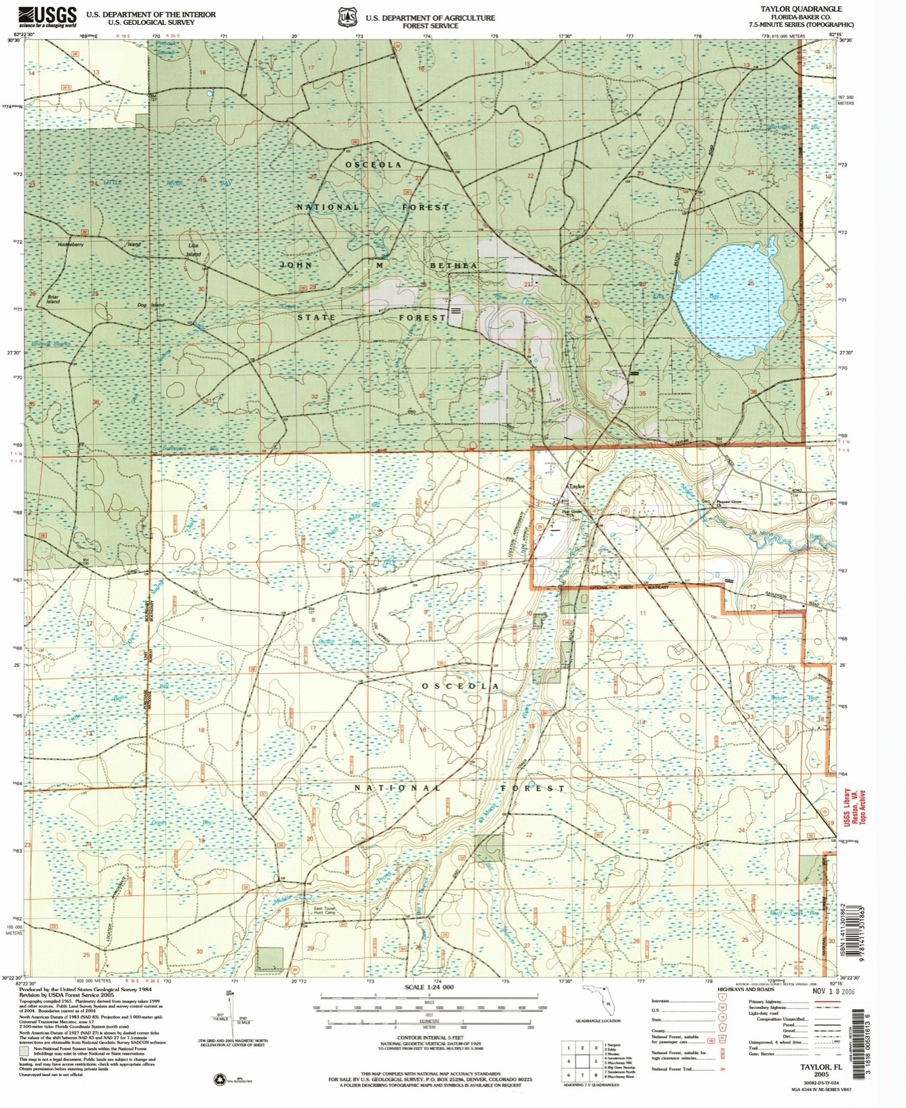
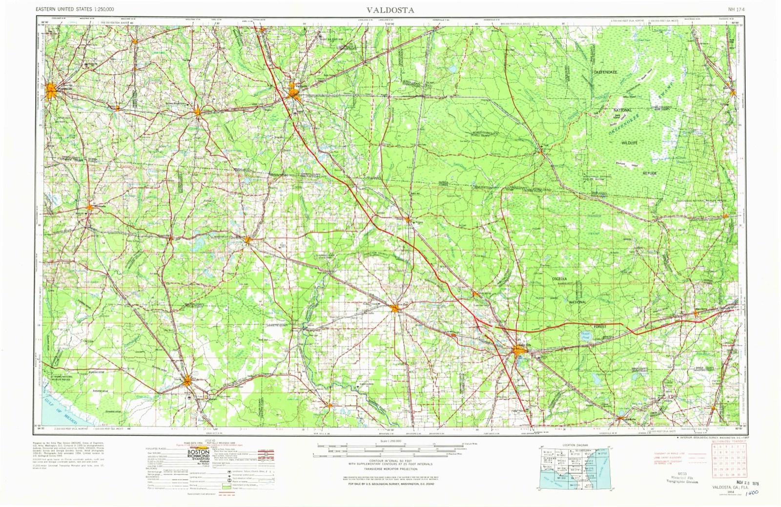
10 topographic sheets cover this place, the earliest surveyed in 1954 and the latest in 2005. It stands in the Sanderson census division. It lies in ZIP code area 32087. It stands on Little River. The Survey maps it on the Taylor quadrangle.
Then and now
1954 to 2005The same ground, surveyed 51 years apart. Drag the handle to wipe between them. Both sheets are United States Geological Survey originals; neither has been altered.
Compare 1954 against another survey:
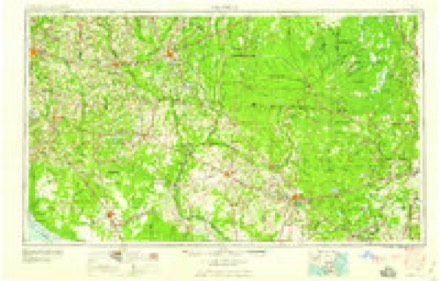
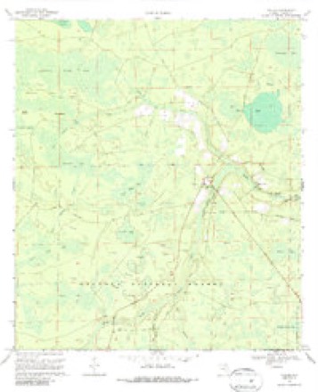
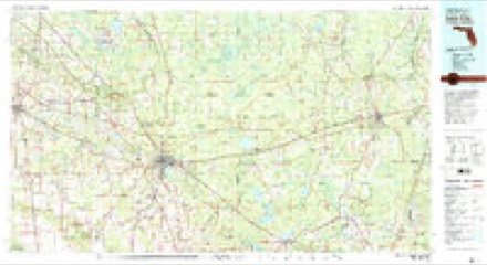
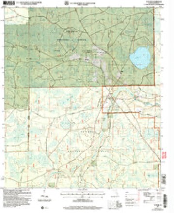
Topographic sheets covering this place
6 surveys from 10 printed sheetsMatched by testing this settlement's coordinate against the published boundary of every sheet in the United States Geological Survey's historical collection. Each opens the scanned sheet at the Survey.
- 1954 USGS Valdosta quadrangle1:250000, 2 printings
- 1958 USGS Valdosta quadrangle1:250000
- 1959 USGS Valdosta quadrangle1:250000
- 1969 USGS Taylor quadrangle1:24000, 3 printings
- 1981 USGS Lake City quadrangle1:100000, 2 printings
- 2005 USGS Taylor quadrangle1:24000
Fires near this place
211 since 1992Regional context, not property-specific evidence. The federal wildfire occurrence database lists 211 fires within 5 miles of Taylor between 1992 and 2020, burning about 8,762 acres in total. 47 started naturally. 51 were recorded as arson. Distance is straight-line from the map coordinates, so a fire counted here may appear on a neighbouring settlement's page as well.
| Reported cause | Fires |
|---|---|
| Arson/incendiarism | 51 |
| Natural | 47 |
| Equipment and vehicle use | 37 |
| Debris and open burning | 35 |
| Missing data/not specified/undetermined | 19 |
| Railroad operations and maintenance | 13 |
| Misuse of fire by a minor | 4 |
| Power generation/transmission/distribution | 2 |
| Other causes | 1 |
| Smoking | 1 |
| Recreation and ceremony | 1 |
The most recent of them, most recent first, with the day each was reported and the service that recorded it.
| Date | Cause | Size | Reported by | Name on the report |
|---|---|---|---|---|
| 9 September 2007 | Arson/incendiarism | 1.5 acres | Florida Forest Service | 05-02-CHRISTMAS TREE FIRE-1156 |
| 6 September 1999 | Natural | 1.5 acres | Florida Forest Service | not named |
| 22 September 1993 | Natural | 10 acres | National Forests in Florida | not named |
| 8 August 1993 | Natural | 15 acres | National Forests in Florida | not named |
| 4 August 2001 | Arson/incendiarism | 2.0 acres | National Forests in Florida | WIDE LINE |
| 4 August 1999 | Natural | 3.5 acres | Florida Forest Service | not named |
| 30 August 2011 | Debris and open burning | 2.0 acres | Florida Forest Service | CR 127 (02) |
| 3 August 1999 | Natural | under an acre | National Forests in Florida | SNOW WHITE |
Settlements close enough to share some of these fires:
Specimens collected near this place
12 of 149 shownRegional context, not property-specific evidence. Museums hold 149 specimens collected within 10 miles of Taylor between 1887 and 1975: 102 Animalia, 34 Plantae, 11 Fungi, 2 Protozoa. 12 distinct Species records are shown. Collected by A. F. Newton, A.E. Daugherty, A.M. Evans and others. Each is a physical object with a catalogue number, and each entry opens the museum's record. This is what was collected and kept, not a survey of what lives here - nothing can be concluded from a species being absent.
| Image | Species | Year | Collected by | Where, as recorded |
|---|---|---|---|---|
| Eriocaulon compressum Lam. | 1887 | Miss H.M. Heading | ||
| Leucothoe axillaris (Lam.) D.Don | 1887 | Miss H.M. Heading | ||
| Fomitopsis palustris (Berk. & M.A.Curtis) Gilb. & Ryvarden | 1902 | R. M. Harper | About a 1.2 mile N of Moniac | |
| Polyporus palustris Berk. & M.A.Curtis | 1902 | Harper R. M. | Moniac | |
| Colletotrichum gloeosporioides (Penz.) Penz. & Sacc. | 1909 | W. T. Swingle | ||
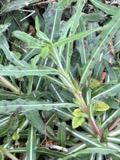 | Septoria oenotherae Westend. | 1909 | W. T. Swingle | |
| Enneacanthus Gill, 1864 | 1921 | Francis Harper | Moniac | |
| Gambusia affinis (Baird & Girard, 1853) | 1921 | Francis Harper | St. Mary's R., 7 mi. S of Moniac, GA | |
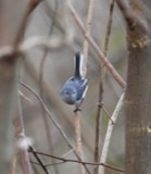 | Polioptila caerulea (Linnaeus, 1766) | 1921 | Francis Harper | St. Mary's River, 10 miles south of Moniac |
| Ilex myrtifolia Walter | 1923 | J. K. Small | Cypress head near Olustee [map attached] | |
| Plantae | 1930 | M. F. Baker | ||
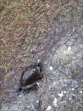 | Terrapene carolina (Linnaeus, 1758) | 1931 | not recorded | MONIAC |
All 149 specimens within 10 miles, at the Global Biodiversity Information Facility.
Mines and quarries near this place
1 within 5 milesRegional context, not property-specific evidence. The federal mineral resources record lists 1 working within 5 miles of Taylor: 1 prospect. None of them still produces. What was taken out: Phosphorus-Phosphates, Uranium, Iron, Magnesite, Aluminum, Water, Free, Fluorine-Fluorite. Distance is straight-line from the map coordinates, so a quarry counted here may appear on a neighbouring settlement's page as well.
| Where | Site | Commodity | Status | Recorded |
|---|---|---|---|---|
| North Baker County Deposit | Phosphorus-Phosphates, Uranium, Iron, Magnesite, Aluminum, Water, Free, Fluorine-Fluorite | Prospect |
Storms near this place
36 since 1995Regional context, not property-specific evidence. The National Weather Service names Taylor in 36 storm reports between 1995 and 2024: 24 thunderstorm wind, 6 hail, 4 heavy rain, 1 tornado. The reports record 1 injury. Each account below is quoted exactly as the forecast office filed it, from the NOAA Storm Events Database, and each date opens the federal record of that event.
| When | Event | Place named | Harm | What the report says |
|---|---|---|---|---|
| March 2008 | Tornado (EF0) | Taylor | 1 hurt | A tornado, which was spanned by the same from mesocyclone which moved through Lake City earlier in the day, moved through northeastern Baker County. One brick residence was completely destroyed at 11456 O. C. Horne Road, in Sanderson and a second residence at 20192 Golden Grass Farms Road had tin roof blown. The tornado continued toward the St Marys River but lifted prior to reaching the river. An additional touchdown occurred in Charlton County, Georgia. |
| June 2012 | Flood | Taylor | $500,000 | Record flooding occurred in Baker county with a historic crest on the St. Marys River due to persistent heavy rainfall over NE Florida and SE Georgia in the river's upstream charge basin. Radar estimated that 15 to 25 inches fell in the charge basin over several days. On 6/25 at 9:32 pm, a spotter reported 3.46 inches of rainfall in the past 5 hours at a location 3 miles ESE of Sanderson. Ditches were at capacity in the area at the time of the report. At 10:25 pm that evening, the media reported 4.08 inches of rainfall since 5 pm that afternoon in Glen St. Mary. Water was crossing roads west of Glen St. Mary. At 10:30 pm, the media reported Interstate 10 eastbound at mile marker 317 near Sanderson was closed due to flooding. At 10:44 pm, Interstate 10 westbound at mile marker 324 near Glen St. Mary was closed due to flooding per a media report. Flooding continued through the end of the month. On 6/28 significant river flooding ensured on the St. Marys with numerous mobile homes flooded and a total loss. Other homes were also flooded. At 10:50 am, baker county emergency management reported a bridge floating down the St. Marys River. At 1:06 pm, the State Road 121 bridge was flooded by the St. Marys River and was closed. The County Road 127 bridge over Cedar Creek collapsed. The cost of property loss was estimated and is likely greatly under-estimated. |
| November 2002 | Thunderstorm Wind | Taylor | $10,000 | Several large trees blown down across roadways and power lines. |
| July 2001 | Thunderstorm Wind | Taylor | $2,500 | Large trees and power lines were blown down. |
| February 2003 | Thunderstorm Wind | Taylor | $2,000 | Power lines downed. |
| July 2002 | Thunderstorm Wind | Taylor | $2,000 | Large trees down. |
| February 1998 | Hail | Taylor | $1,500 | Large trees and power lines were blown down. |
| January 2010 | Thunderstorm Wind | Taylor | $1,000 | Central dispatch reported property damage and numerous trees blown down at a residence off of Palm Road. Strong winds damaged a pump house and a water softener. The damage was estimated at one thousand dollars. |
| March 2000 | Thunderstorm Wind | Taylor | $500 | Large trees and power lines were blown down. |
| May 2024 | Thunderstorm Wind | Taylor | - | The public reported that multiple trees were uprooted, a metal roof was blown off an outbuilding and another outbuilding was destroyed and its debris was blown across the yard along Williams Way in Glen Saint Mary, FL. Later, FDEM conducted a storm survey of the Glen Saint Mary area. They found extensive damage to a mobile home and a couple of outbuildings destroyed along Wassie Fish Rd. More mobile homes suffered damage along Frank Combs Rd and Altmans Way. |
| June 2023 | Thunderstorm Wind | Taylor | - | A tree was blown down across Frederick Raulerson Road off of County Road 127 in northern Baker County near Taylor FL. |
| December 2023 | Heavy Rain | Taylor | - | A mesonet site measured 2.41 inches of storm total rainfall. |
| July 2023 | Thunderstorm Wind | Taylor | - | A tree was blown down and blocking traffic at Crews Road and North County Road 125. The time of damage was based on radar. |
| July 2023 | Thunderstorm Wind | Taylor | - | Multiple trees were blown down along Small Branch Trail off of County Road 125. The time of damage was based on radar. |
| July 2021 | Heavy Rain | Taylor | - | A mesonet site measured 3.09 inches of storm total rainfall. |
| November 2019 | Heavy Rain | Taylor | - | Storm total rainfall from a mesonet site near Macclenny. |
| April 2015 | Hail | Taylor | - | Penny size hail was observed along Highway 127 north of Highway 125. |
| April 2015 | Thunderstorm Wind | Taylor | - | A tree was blown down on County Road 250. |
| April 2015 | Thunderstorm Wind | Taylor | - | Carport was blown down onto power lines on Frenda Road. |
| August 2015 | Thunderstorm Wind | Taylor | - | A tree was blown down on County Road 250. The time of damage was based on radar. |
| August 2014 | Thunderstorm Wind | Taylor | - | Trees were blown down along County Road 250. |
| June 2014 | Thunderstorm Wind | Taylor | - | Trees were blown down in Taylor. The time of damage was based on radar imagery. |
| May 2011 | Thunderstorm Wind | Taylor | - | Scattered trees and power lines were blown down SE of Taylor. |
| August 2011 | Thunderstorm Wind | Taylor | - | Large, thick diameter tree branches were blown down. |
| July 2009 | Thunderstorm Wind | Taylor | - | Trees were blown down across the northern portion of the county north of U.S. Highway 90 into the Taylor vicinity. |
| February 2008 | Thunderstorm Wind | Taylor | - | Several reports of trees down across the Osceola National Forest. Event time is estimated based on radar imagery. |
| April 2007 | Thunderstorm Wind | Taylor | - | Trees were blown down across Florida County Road 2. Power lines were down in the vicinity. |
| July 2007 | Thunderstorm Wind | Taylor | - | Large tree limbs damaged power lines which knocked out the power just south of Taylor. |
| August 2007 | Thunderstorm Wind | Taylor | - | Numerous power lines were blown down in the community of Taylor. |
| April 2003 | Hail | Taylor | - | Penny sized hail with estimated 40 mph gusts. |
| May 2003 | Thunderstorm Wind | Taylor | - | Large trees down. |
| June 2002 | Hail | Taylor | - | Broadcast media report. |
| March 1995 | Hail | Taylor | - | Dime-size hail reported on SR 125. |
| May 2006 | Thunderstorm Wind | Taylor | - | no account filed |
| August 2004 | Heavy Rain | Taylor | - | no account filed |
| February 1998 | Hail | Taylor | - | no account filed |
Nearest settlements
The eight closest, with where each one stands in the county. Distances are straight-line, computed from the Geographic Names Information System coordinates.
| Map | Place | Distance | Sheets |
|---|---|---|---|
| Baxter | 5.9 miles | 11 | |
| Kenny | 6.4 miles | 14 | |
| Eddy | 7.5 miles | 9 | |
| Sargent | 11.8 miles | 8 | |
| Margaretta | 12.6 miles | 14 | |
| Pine Top | 12.9 miles | 14 | |
| Sanderson | 13.0 miles | 9 | |
| Glen Saint Mary | 13.3 miles | 14 |
Provenance
This settlement is recorded in the Geographic Names Information System as feature 306483. The sheet list is computed by point-in-boundary test against the United States Geological Survey's historical topographic inventory. Both are works of the United States government and carry no copyright under 17 U.S.C. 105.
Wildfire. Short, Karen C. 2022. Spatial wildfire occurrence data for the United States, 1992-2020 [FPA_FOD_20221014]. 6th Edition. Fort Collins, CO: Forest Service Research Data Archive. https://doi.org/10.2737/RDS-2013-0009.6 Collected with United States Government funding and usable without additional permissions or fees.
Specimens. Global Biodiversity Information Facility (GBIF), https://www.gbif.org/. Only records licensed CC0 or CC BY are used. Records licensed CC BY-NC are excluded because this site carries advertising. Images are checked individually and any whose licence is non-commercial, no-derivatives or unreadable is refused.
Mines and quarries. USGS Mineral Resources Data System (MRDS) https://mrdata.usgs.gov/mrds/ A work of the United States government, no copyright under 17 U.S.C. 105.
Storms. NOAA National Centers for Environmental Information, Storm Events Database https://www.ncei.noaa.gov/stormevents/ A work of the United States government, no copyright under 17 U.S.C. 105. Narratives are quoted verbatim from the National Weather Service report and are not edited or summarised.