 Block
BlockViking, Florida
16 topographic sheets cover this place, the earliest surveyed in 1948 and the latest in 1988. It stands in the Fort Pierce census division. It lies in ZIP code area 34946. The Survey maps it on the Indrio quadrangle. It stands 13 feet above sea level.
Then and now
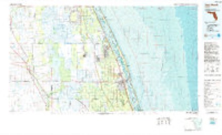
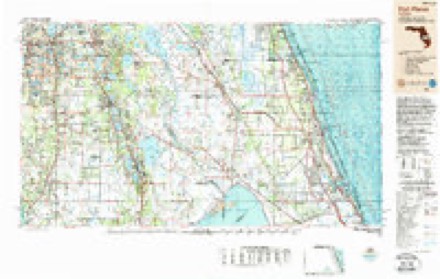
1948 to 1988The same ground, surveyed 40 years apart. Drag the handle to wipe between them. Both sheets are United States Geological Survey originals; neither has been altered.
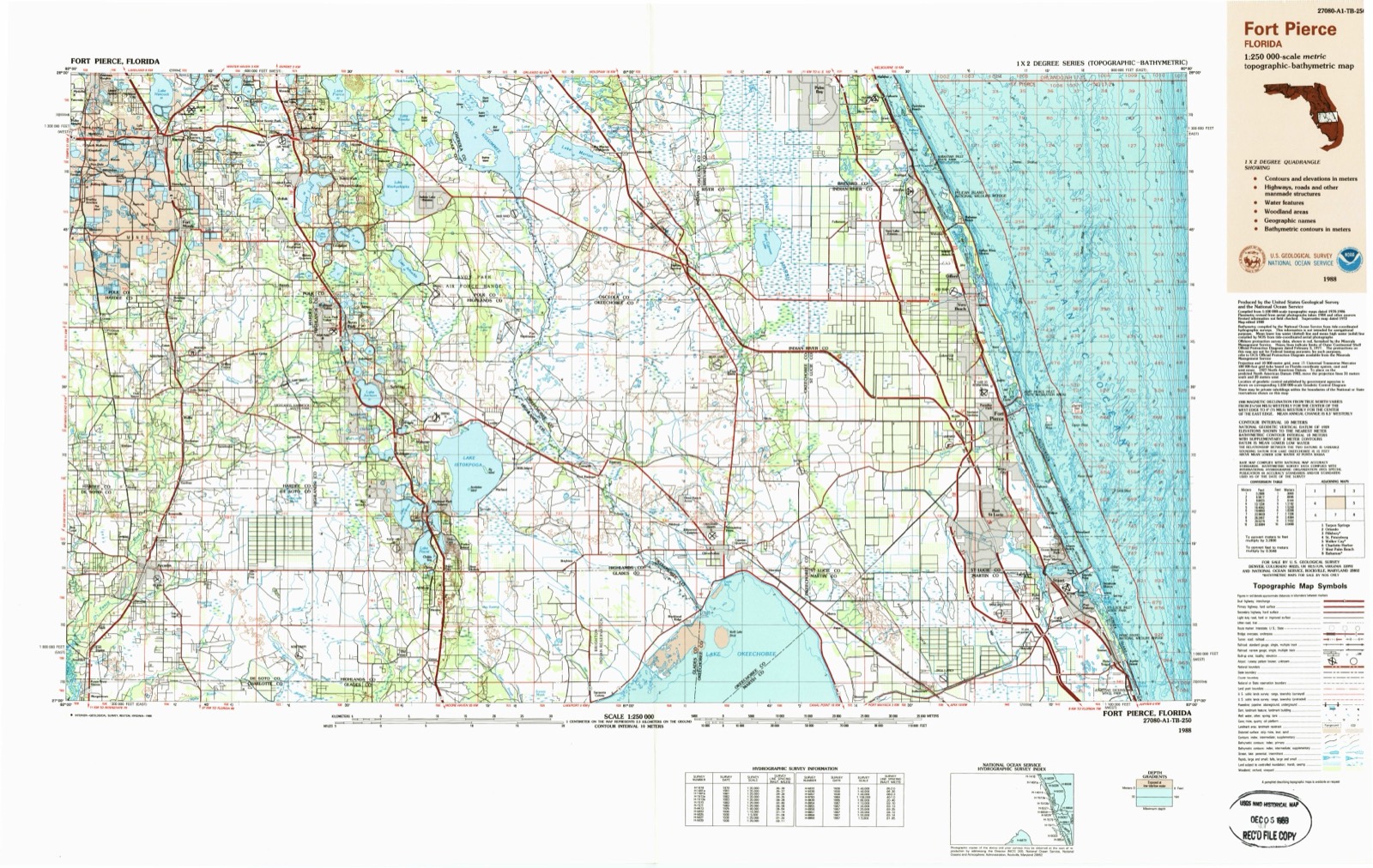
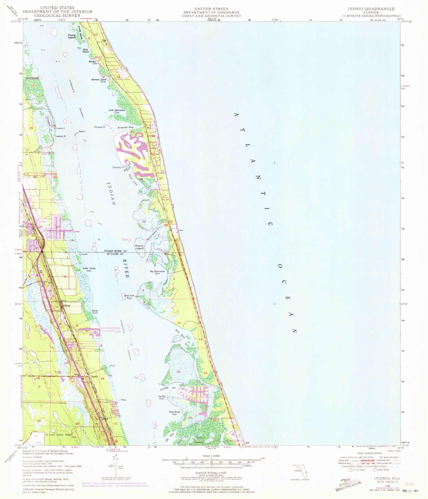
Topographic sheets covering this place
8 surveys from 16 printed sheetsMatched by testing this settlement's coordinate against the published boundary of every sheet in the United States Geological Survey's historical collection. Each opens the scanned sheet at the Survey.
- 1948 USGS Indrio quadrangle1:24000, 4 printings
- 1950 USGS Indrio quadrangle1:24000
- 1956 USGS Fort Pierce quadrangle1:250000, 4 printings
- 1958 USGS Fort Pierce quadrangle1:250000
- 1959 USGS Fort Pierce quadrangle1:250000, 3 printings
- 1981 USGS Vero Beach quadrangle1:100000
- 1985 USGS Vero Beach quadrangle1:100000
- 1988 USGS Fort Pierce quadrangle1:250000
Fires near this place
233 since 1992Regional context, not property-specific evidence. The federal wildfire occurrence database lists 233 fires within 5 miles of Viking between 1992 and 2020, burning about 2,653 acres in total. 47 started naturally. 27 were recorded as arson. Distance is straight-line from the map coordinates, so a fire counted here may appear on a neighbouring settlement's page as well.
| Reported cause | Fires |
|---|---|
| Natural | 47 |
| Missing data/not specified/undetermined | 39 |
| Railroad operations and maintenance | 38 |
| Misuse of fire by a minor | 36 |
| Arson/incendiarism | 27 |
| Equipment and vehicle use | 16 |
| Recreation and ceremony | 13 |
| Debris and open burning | 10 |
| Power generation/transmission/distribution | 5 |
| Smoking | 2 |
The most recent of them, most recent first, with the day each was reported and the service that recorded it.
| Date | Cause | Size | Reported by | Name on the report |
|---|---|---|---|---|
| 5 September 2016 | Natural | 1.0 acres | Florida Forest Service | MILLSTONE (31) |
| 2 September 2013 | Natural | under an acre | Florida Forest Service | LION (56) |
| 2 September 2013 | Natural | under an acre | Florida Forest Service | EMERSON (56) |
| 2 September 2012 | Missing data/not specified/undetermined | 1.5 acres | Florida Forest Service | FIRST STREET (31) |
| 12 September 1997 | Railroad operations and maintenance | 30 acres | Florida Forest Service | not named |
| 11 September 1997 | Arson/incendiarism | 9.0 acres | Florida Forest Service | not named |
| 11 September 1997 | Equipment and vehicle use | 25 acres | Florida Forest Service | not named |
| 8 August 1999 | Natural | under an acre | Florida Forest Service | not named |
Settlements close enough to share some of these fires:
Mines and quarries near this place
5 within 5 milesRegional context, not property-specific evidence. The federal mineral resources record lists 5 workings within 5 miles of Viking: 3 producers, 1 past producer, 1 unknown. 3 still produce. What was taken out: Sand, Sand and Gravel, Construction. Distance is straight-line from the map coordinates, so a quarry counted here may appear on a neighbouring settlement's page as well.
| Where | Site | Commodity | Status | Recorded |
|---|---|---|---|---|
| North Pit | Sand and Gravel, Construction | Past Producer | ||
| St. Lucie Mine | Sand and Gravel, Construction | Producer | ||
| Frank Stewert Trucking - Tozour Road Mine | Sand | Producer | ||
| Ft. Pierce Sand and Mat'L - North Mine | Sand | Producer | ||
| Glen Blackburn Trucking, Inc. - Sapp Road Mine | Sand | Unknown |
Storms near this place
13 since 2010Regional context, not property-specific evidence. The National Weather Service names Viking in 13 storm reports between 2010 and 2016: 5 hail, 3 funnel cloud, 2 tornado, 2 flood. No death or injury is recorded in these reports. Each account below is quoted exactly as the forecast office filed it, from the NOAA Storm Events Database, and each date opens the federal record of that event.
| When | Event | Place named | Harm | What the report says |
|---|---|---|---|---|
| May 2016 | Flood | Viking | $50,000 | Persistent thunderstorms produced extremely heavy rain within a short time period from southern areas of Ft. Pierce northward to beyond the Indian River County line. Numerous roads were closed due to high water and several cars were flooded. Standing water remained high within many neighborhoods for over 24 hours. The Ft. Pierce ASOS (KFPR) recorded a record 9.85 inches for the day and 8.53 inches accumulated in four hours (1300-1700LST). |
| July 2012 | Tornado (EF0) | Viking | $40,000 | The very brief EF0 tornado impacted one condominium building within the Indian Pines Village. The tornado stripped several sections of plywood from one roof of a condo and another unit sustained a small hole in the roof and the front entrance awning was peeled back. An eyewitness within the condo village observed a funnel cloud to the west touch down and damage two condo units within the same building. After striking the condo units, roof debris was seen being lifted aloft and swirling. Roofing debris was carried eastward as the tornado quickly lifted. Debris fell to the ground and onto other condo roofs farther to the east-northeast. Debris also fell into a small pond just downstream, and into another pond and an adjacent wooded area at least 500 feet to the northeast. St. Lucie County Emergency Management assisted by surveying the damage and provided details of the event and damage photos. DI5 DOD2 LB. |
| January 2014 | Flood | Viking | $20,000 | Radar-based rainfall estimates were between 6 and 12 inches across eastern-most St. Lucie County, with most of the rain falling in a 6-hour or less period. The twenty-four hour rain gage total at Ft. Pierce was 10.64 inches, but with most of the rain falling in less than 6 hours. Flooding closed many roadways, stranding vehicles. Drainage canals and creeks overflowed. While high water surrounded many subdivisions, businesses and homes, water was only reported to have entered one apartment complex in Ft. Pierce (three separate buildings). Damage estimated totalled over 20,000 dollars. |
| May 2016 | Tornado (EF1) | Viking | - | The tornado traveled mainly southward for nearly a half mile. Approximately 15 homes experienced damage, mainly to their roofs. Numerous trees were snapped and several fences and pool enclosures were destroyed. The tornado was rated EF1, with estimated maximum winds of 80-90 mph. DI2, DOD4, LB-EXP. |
| December 2012 | Funnel Cloud | Viking | - | A public safety officer relayed multiple public reports of funnel clouds observed north of Fort Pierce. |
| May 2012 | Hail | Viking | - | SKYWARN spotter observed dime to quarter-sized hail in the Spanish Lakes Fairway housing development near the intersection of Indrio Rd. and I-95. |
| May 2012 | Hail | Viking | - | SKYWARN spotter observed quarter-sized hail in Lakewood Park. |
| May 2012 | Hail | Viking | - | WPTV relayed public report of dime to half dollar-sized hail in the Lakewood Park area. |
| April 2012 | Hail | Viking | - | A trained spotter reported quarter sized hail near the intersection of Ocala Avenue and Kings Highway in Lakewood Park. Severe winds at this location also toppled two trees (see 1640 EST thunderstorm wind event). |
| April 2012 | Thunderstorm Wind | Viking | - | Two trees were toppled in Lakewood Park at the same location where one inch hail occurred (see 1640 EST hail event). |
| April 2012 | Hail | Viking | - | A trained spotter reported quarter sized hail near the intersection of Ocala Avenue and Kings Highway in Lakewood Park. Severe winds at this location also toppled two trees (see 1640 EST thunderstorm wind event). |
| June 2010 | Funnel Cloud | Viking | - | Two sheriff deputies observed a funnel cloud near Indrio Road in St. Lucie County. The deputies reported dissipation of the funnel cloud. |
| June 2010 | Funnel Cloud | Viking | - | Two St. Lucie County Sheriff Deputies observed a stationary funnel cloud near the intersection of Kings Highway and Indrio Road in Ft. Pierce. |
Nearest settlements
The eight closest, with where each one stands in the county. Distances are straight-line, computed from the Geographic Names Information System coordinates.
| Map | Place | Distance | Sheets |
|---|---|---|---|
| Indrio | 1.5 miles | 16 | |
| Queens Cove | 3.1 miles | 16 | |
| Saint Lucie | 3.8 miles | 21 | |
| Lakewood Park | 4.2 miles | 20 | |
| Harmony Heights | 4.3 miles | 20 | |
| Paradise Park | 4.9 miles | 21 | |
| Fort Pierce Shores | 5.0 miles | 21 | |
| Sunland Gardens | 5.4 miles | 20 |
Elsewhere
Matched on this settlement's Geographic Names Information System number rather than its name, so it cannot be a different place of the same name in another state.
| Wikipedia article on Viking | An encyclopaedic summary. Its text is share-alike, so it is linked here rather than copied. |
| Wikidata item Q7929437 | The structured record the population and elevation above come from. Public domain (CC0). |
Provenance
This settlement is recorded in the Geographic Names Information System as feature 308163. The sheet list is computed by point-in-boundary test against the United States Geological Survey's historical topographic inventory. Both are works of the United States government and carry no copyright under 17 U.S.C. 105.
Wildfire. Short, Karen C. 2022. Spatial wildfire occurrence data for the United States, 1992-2020 [FPA_FOD_20221014]. 6th Edition. Fort Collins, CO: Forest Service Research Data Archive. https://doi.org/10.2737/RDS-2013-0009.6 Collected with United States Government funding and usable without additional permissions or fees.
Mines and quarries. USGS Mineral Resources Data System (MRDS) https://mrdata.usgs.gov/mrds/ A work of the United States government, no copyright under 17 U.S.C. 105.
Storms. NOAA National Centers for Environmental Information, Storm Events Database https://www.ncei.noaa.gov/stormevents/ A work of the United States government, no copyright under 17 U.S.C. 105. Narratives are quoted verbatim from the National Weather Service report and are not edited or summarised.