 Block
BlockFrom the record
16 National Register listings published here, 1 of them a National Historic Landmark.
Sources: the National Register database, National Park Service
41 topographic sheets cover 25 settlements here, and 16 properties are on the National Register of Historic Places.
16 National Register listings published here, 1 of them a National Historic Landmark.
Sources: the National Register database, National Park Service
Every property in this county listed on the National Register of Historic Places, with the year it was listed and the federal nomination document.
| Photograph | Property | Type | Listed | Reference |
|---|---|---|---|---|
 | Arcade Building | building | 2001 | 01001085 |
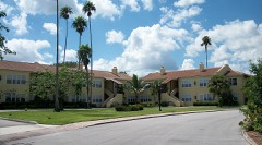 | Casa Caprona | building | 1984 | 84000955 |
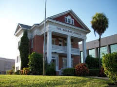 | Cresthaven | building | 1985 | 85000770 |
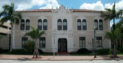 | Fort Pierce City Hall, Old | building | 2001 | 01001338 |
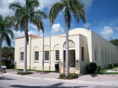 | Fort Pierce Old Post Office | building | 2002 | 01000567 |
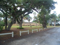 | Fort Pierce Site | site | 1974 | 74002181 |
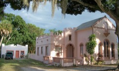 | Jules Frere House | building | 1995 | 95000467 |
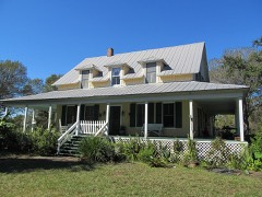 | Captain Hammond House | building | 1990 | 90000310 |
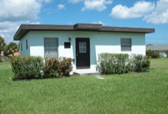 | Zora Neale Hurston House | building | 1991 | 91002047 |
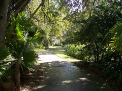 | Immokolee | building | 1994 | 93001450 |
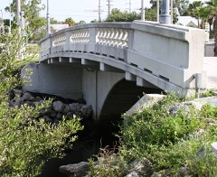 | Moores Creek Bridge | structure | 2001 | 01000890 |
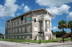 | St. Anastasia Catholic School, Old | building | 2000 | 00000941 |
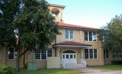 | St. Lucie High School | building | 1984 | 84000956 |
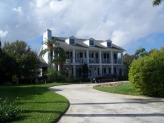 | St. Lucie Village Historic District | district | 1989 | 89002062 |
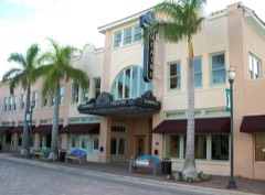 | Sunrise Theatre | building | 2001 | 01001339 |
| URCA DE LIMA (shipwreck) | site | 2001 | 01000529 |
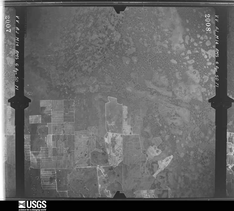
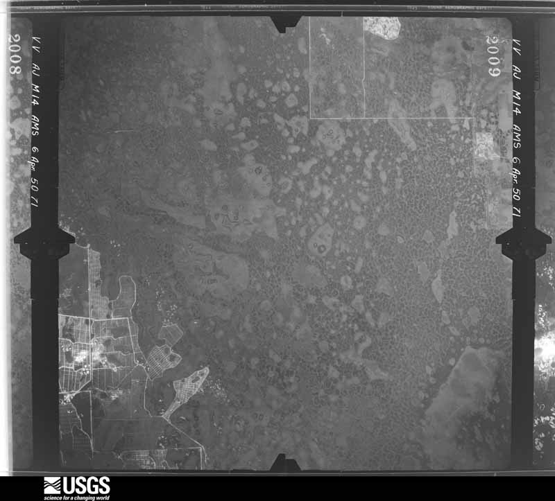
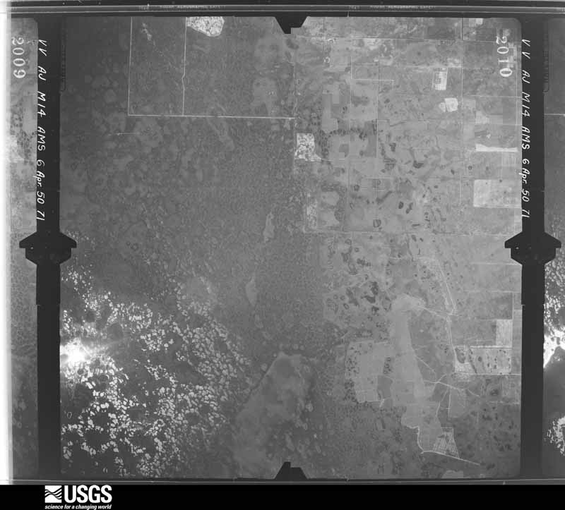
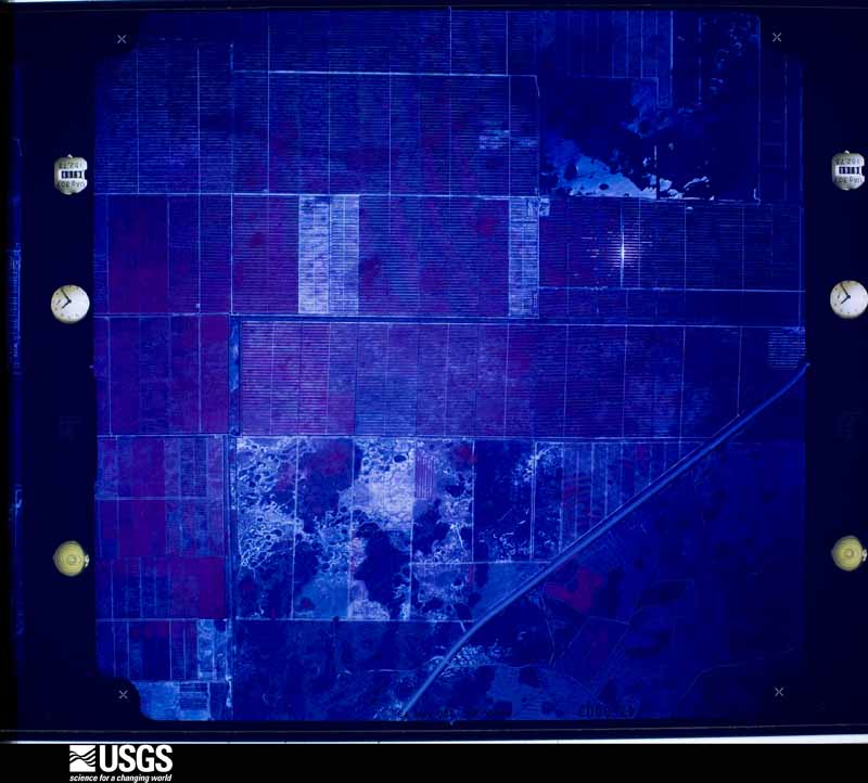
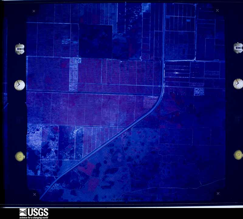
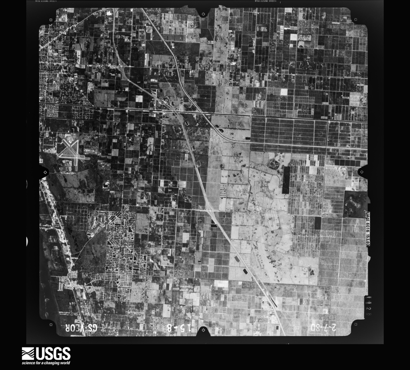
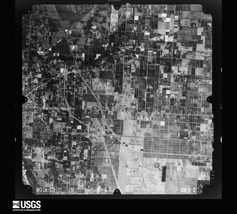
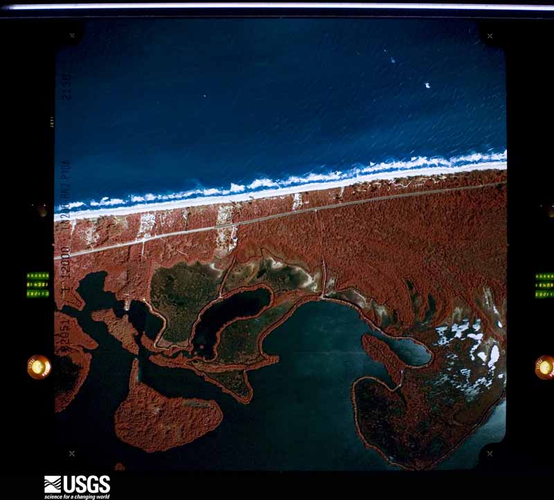
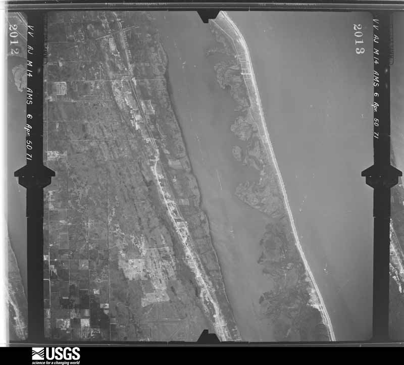
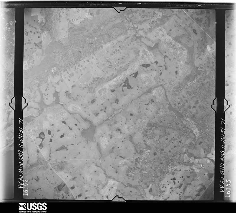
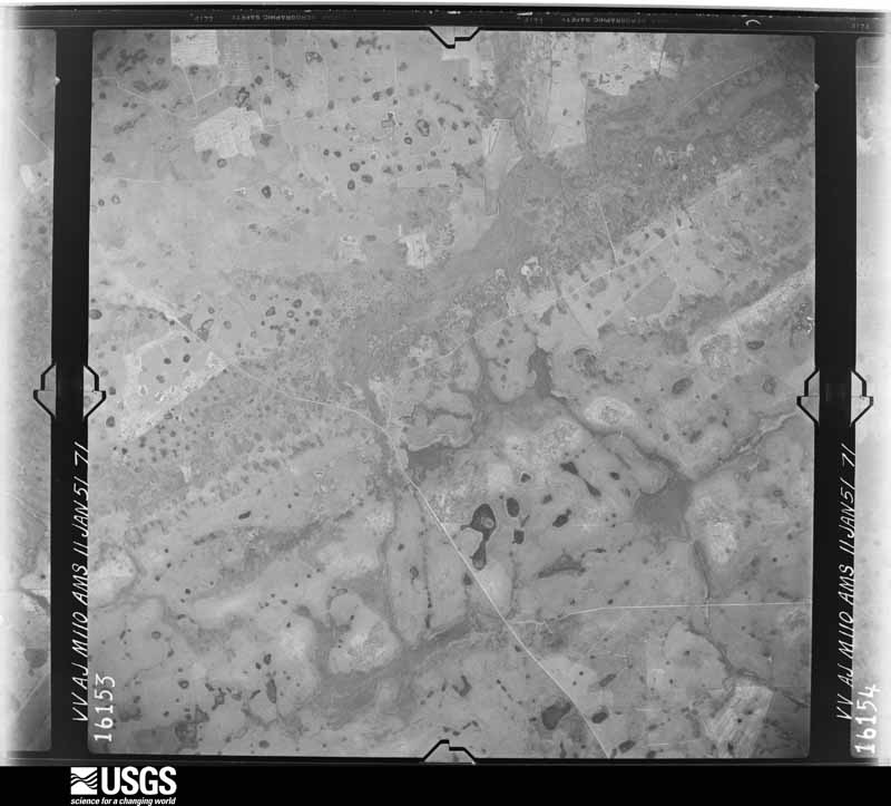
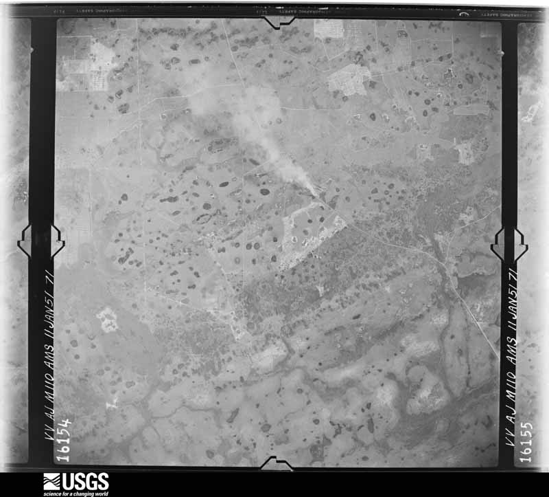
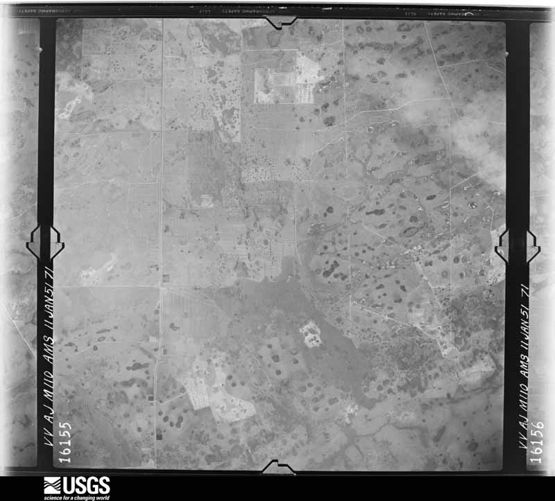
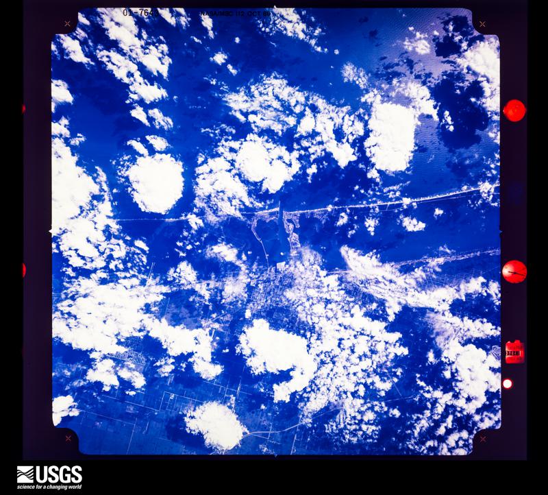
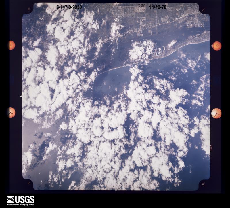
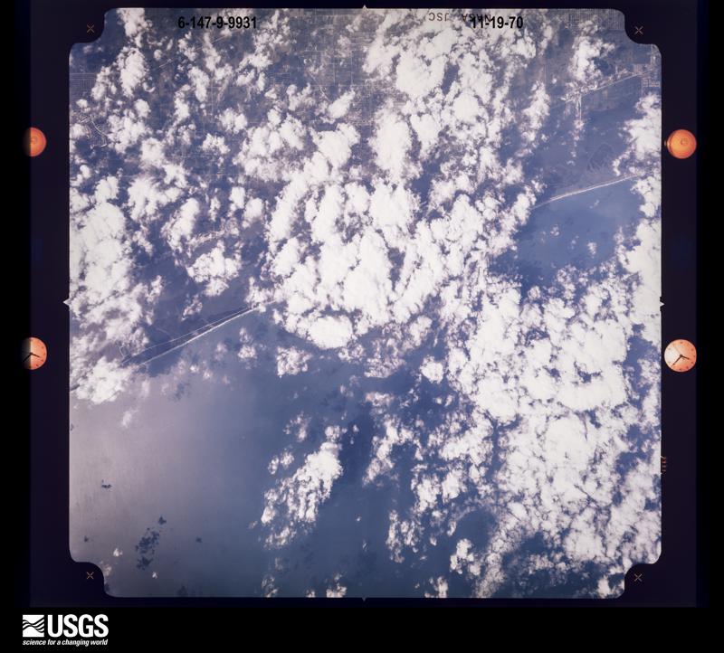
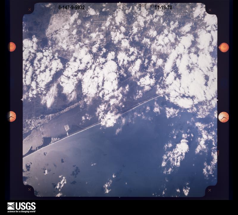
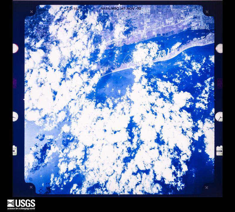
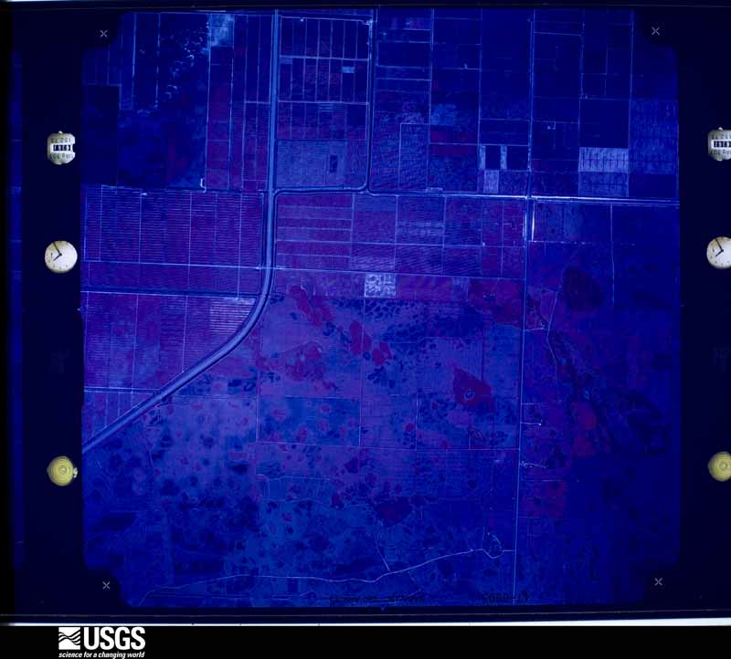
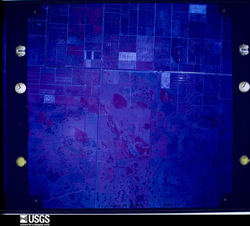
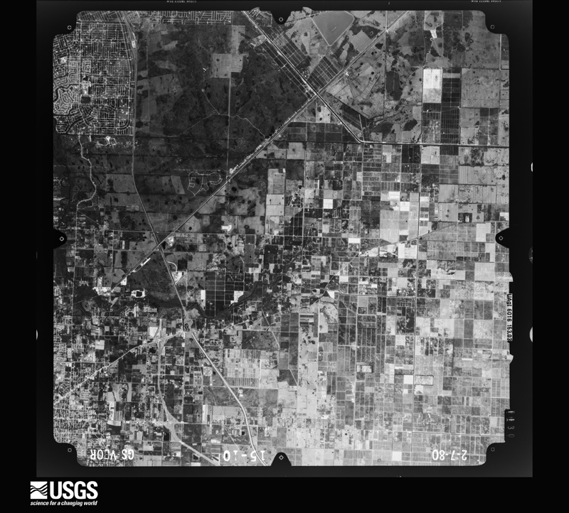
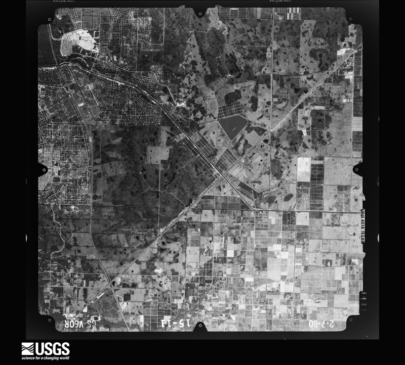
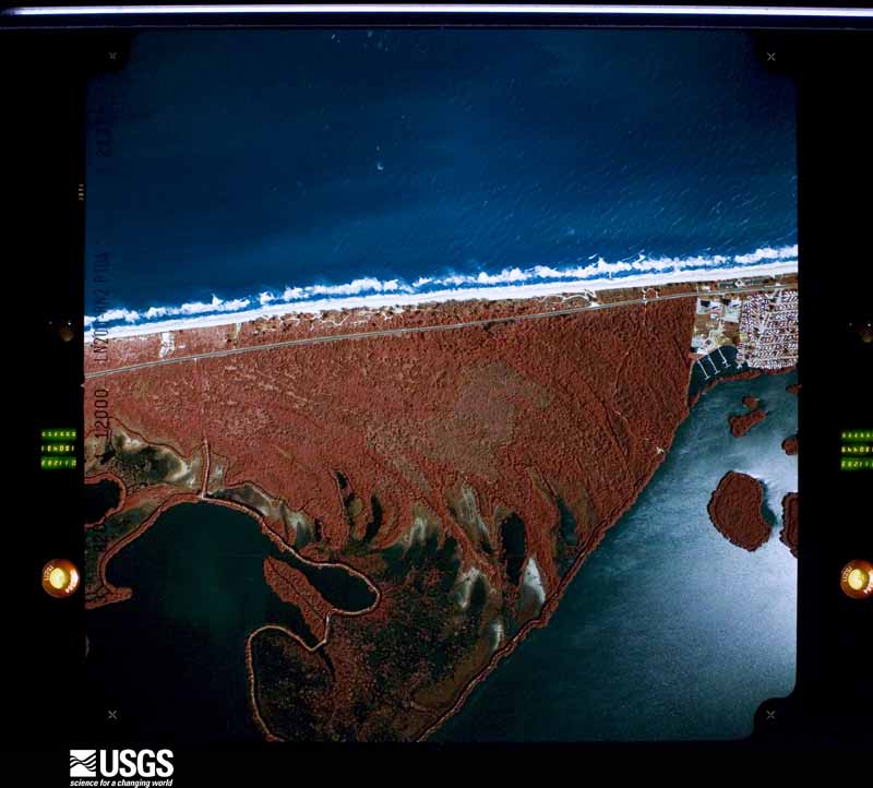
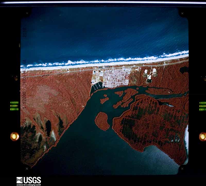
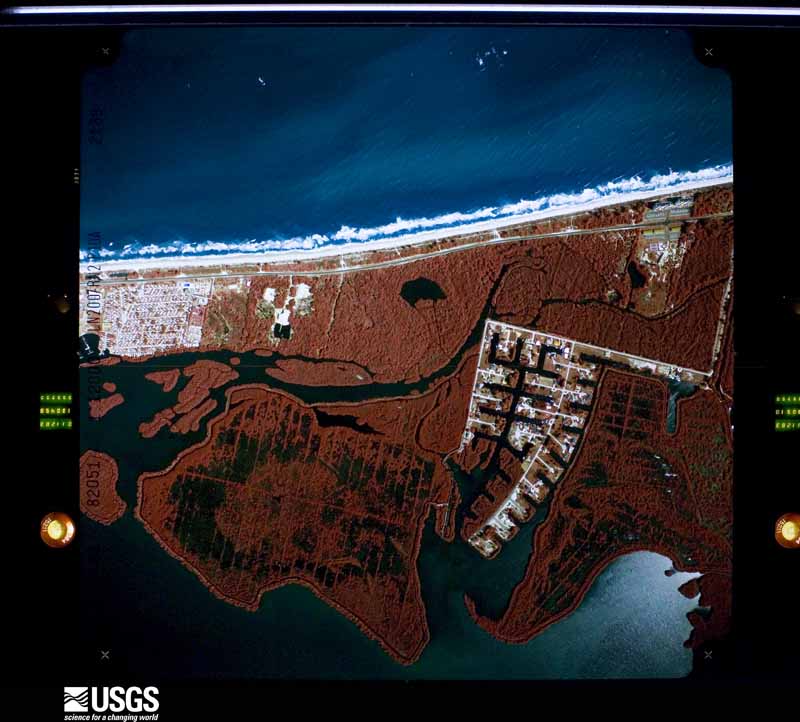
Flown by the U.S. Geological Survey between 1937 and 1989, the Aerial Photo Single Frames collection is the definitive mid-century view of the land: fields, roads and rivers as the camera saw them. The Survey holds 509 frames inside the rectangle that bounds this county; the 28 frames below were taken over the county itself, chosen across the decades of flights (at most four a year from that rectangle), so one flight cannot crowd out the rest. The full set is free to browse and download at EarthExplorer under the dataset Aerial Photo Single Frames.



The thermometers that kept this county's weather, and the gages that measured the flow of its streams, as the federal records hold them. The extremes below are measured values from those records, not estimates.
Who lived here in 1950, one enumeration district at a time, as the Census Bureau described each district. Each row opens its official National Archives result, with Population Schedules and ED Maps available there.
Every wildfire the federal occurrence database records inside this county: 713 of them, burning about 13,394 acres. 226 started naturally and 39 were recorded as arson. Each settlement page carries the fires within five miles of it.
| Reported cause | Fires |
|---|---|
| Natural | 226 |
| Missing data/not specified/undetermined | 90 |
| Debris and open burning | 80 |
| Railroad operations and maintenance | 74 |
| Misuse of fire by a minor | 69 |
| Equipment and vehicle use | 57 |
| Arson/incendiarism | 39 |
| Power generation/transmission/distribution | 36 |
| Recreation and ceremony | 27 |
| Smoking | 9 |
| Fireworks | 6 |
The five largest, by the area the report gives. None of them was recorded as arson.
| Date | Cause | Size | Reported by | Name on the report |
|---|---|---|---|---|
| 15 April 1999 | Missing data/not specified/undetermined | 759 acres | Florida Forest Service | not named |
| 24 March 2013 | Natural | 360 acres | Florida Forest Service | HEATHER (56) |
| 12 April 2020 | Debris and open burning | 331 acres | Florida Forest Service | OLD GROVE (56) |
| 12 February 1996 | Equipment and vehicle use | 300 acres | Florida Forest Service | not named |
| 9 May 2010 | Misuse of fire by a minor | 300 acres | Florida Forest Service | (SL) DEL MUNDO (301) |
| 6 May 2016 | Natural | 280 acres | Florida Forest Service | STUCK (56) |
| 6 April 2017 | Natural | 275 acres | Florida Forest Service | MCCARTY RANCH (56) |
| 27 April 2018 | Natural | 253 acres | Florida Forest Service | GATOR CROSSING (56) |
Every settlement page carries the fires within five miles of it - see the settlement index below.
The NOAA Storm Events Database holds 248 reports for this county, causing 9 deaths, 32 injuries and about $609,568,310 in recorded property damage. Each settlement page carries the reports that name it.
| Kind of event | Reports |
|---|---|
| Hail | 85 |
| Thunderstorm Wind | 55 |
| Tornado | 53 |
| Funnel Cloud | 28 |
| Flood | 10 |
| Lightning | 6 |
| Flash Flood | 5 |
| Heavy Rain | 3 |
| Waterspout | 2 |
| Wildfire | 1 |
The most serious of them, by death, then injury, then recorded damage. The accounts are quoted exactly as the forecast office filed them.
| When | Event | Place named | Harm | What the report says |
|---|---|---|---|---|
| October 2024 | Tornado (EF3) | Ft Pierce Nelson Arp | 6 killed, $475,000,000 | A National Weather Service survey team confirmed an unusually strong, long-tracked tornado in association with Hurricane Milton produced widespread EF-1 to EF-2 damage, and periodic EF-3 damage within St. Lucie and Indian River counties. The survey determined that the tornado touched down to the south of Midway Rd. in Fort Pierce and continued on a nearly continuous path for approximately 21 miles until it moved offshore into the Atlantic Ocean near Jaycee Park in Indian River County. ||Significant vegetative and structural damage was observed along nearly the entire path length, indicating the tornado was continuous. Initial structural damage occurred within the Creekside Subdivision and Sunnier Palms Park and Campground along Okeechobee Rd. Here, several homes within the Creekside community suffered partial roof loss, while numerous mobile and manufactured homes within the Sunnier Palms community suffered major damage or were destroyed. Extensive tree damage was also noted in the area. ||The tornado continued north-northeast over rural portions of St. Lucie County, parallel to S Kings Hwy. Here, the tornado strengthened to EF-3, with peak winds up to 155 mph. Two large warehouses along Orange Ave., one brand new construction, experienced major damage with greater than 50% of the structure collapsed.||Damage was noted in rural areas adjacent to Kings Hwy as the tornado traveled north, resulting in occasional significant structural damage as well as numerous downed trees and power lines. EF-3 tornado damage occurred one final time at a truss company along Kings Hwy, where greater than 50% of a steel/metal building collapsed. The tornado then intersected subdivisions in the northern part of the county where additional residential damage was observed. Numerous single family homes in both Holiday Pines and Portofino Shores experienced significant roof, soffit, and siding damage, where the tornado likely continued as an EF-2 with peak winds estimated between 110 - 125 mph. ||The most prolific and extensive damage from the event was noted in the Spanish Lakes community, where a total of six storm-related fatalities were confirmed. Numerous mobile and manufactured homes were destroyed along the western edge of the community, where the tornado produced high-end EF-2 winds of 125 - 135 mph. An initial survey of the community indicates over 20 homes were tossed (some flipped) from their foundation. Despite the extensive damage to the communities' manufactured homes, nearly all concrete block structures in the community experienced relatively minor or moderate damage. The tornado then moved into Indian River County. |
| September 1954 | Tornado (F3) | not stated | 2 killed, 2 hurt, $25,000 | no account filed |
| May 2020 | Lightning | Port St Lucie | 1 killed | St. Lucie County Emergency Management reported that a 41-year-old man was killed after being struck by lightning at an outdoor construction site in Tradition, near Port Saint Lucie. The man was struck by lightning at approximately 1450LST and was quickly discovered by his coworkers to be unconscious. A coworker called 911 and emergency services transported the injured man to a local hospital where he later died from his injuries. |
| April 1958 | Tornado (F3) | not stated | 20 hurt, $250,000 | no account filed |
| January 1970 | Tornado (F2) | not stated | 2 hurt, $2,500 | no account filed |
| June 1999 | Lightning | Ft Pierce | 2 hurt | A father and daughter were seriously injured by lightning on Hutchison Island while setting under a large tree. |
| April 1982 | Tornado (F0) | not stated | 1 hurt, $250,000 | no account filed |
| August 1975 | Tornado (F1) | not stated | 1 hurt, $25,000 | no account filed |
| April 1953 | Tornado (F1) | not stated | 1 hurt, $2,500 | no account filed |
| July 2013 | Lightning | Micco | 1 hurt | A Port St. Lucie police officer was injured after lightning struck less than 15 feet away when he was investigating a domestic call at the Saints Golf Course, in the 1500 block of Westmoreland Boulevard. The officer couldn't hear for 45 minutes after the strike and said he could feel the charge leaving his body through his fingertips. The glue that attached the sole and body of his boot melted into his sock. He was held overnight at a hospital, but was released the following day. |
| September 2003 | Lightning | Ft Pierce | 1 hurt | A power plant worker was injured by lightning while in a working basket on top of a crane on a utility truck. |
| August 1997 | Lightning | Ft Pierce | 1 hurt | A man was injured by lightning while standing in an open area at the St. Lucie County International Airport. |
| August 2008 | Flood | Indrio | $67,000,000 | no account filed |
| September 2017 | Flash Flood | Ft Pierce Nelson Arp | $30,000,000 | Prior to the direct impacts from approaching Hurricane Irma, rain bands streamed onshore from the Atlantic and produced between 6 and 11 inches of rain in less than 4 hours during the very early morning hours, affecting much of Ft. Pierce. A Weather Underground site measured 10.46 inches. Numerous roadways quickly flooded and became impassible, with nearly 4 feet of standing water in front of the Ft. Pierce Police Station on US Highway 1. Water breached several homes, including on El Rancho Drive and near 25th Street and Virginia Avenue. One family needed to be rescued from their flooded home due to rising water. |
| October 2024 | Tornado (EF1) | Port St Lucie | $15,000,000 | A NWS Storm Survey confirms that a tornado, which initially touched down in Palm Beach County (near SR 98) and continued into Martin County, produced additional damage in St. Lucie County. The circulation entered Martin County near Harbor Ridge Yacht and Country Club where it produced minor (EF-0) damage to a few of the mainly concrete block structure homes within the subdivision. ||Video from SKYWARN Spotters indicate the tornado then emerged into the St. Lucie River and became a well-defined waterspout. The waterspout moved ashore the St. Lucia River Club at Ballantrae where significant vegetative damage and minor property damage resulted consistent with an EF-1 tornado with peak winds of up to 90 mph. ||Vegetative damage, along with sporadic property damage mainly in the form of shingle loss, soffit damage, etc. continued generally in a north direction across US-1 and into the Savannas Preserve State Park in Port St. Lucie, coincident with EF-0 type damage |with winds up to 80 mph. ||Radar data suggests the tornado intensified briefly before entering the Indian River Estates subdivision where numerous homes were affected. Here, several parked vehicles were flipped and tossed, and a few homes experienced partial roof loss, suggesting the tornado produced peak winds of up to 95 mph. The circulation continued northward into Fort Pierce was it appears to have dissipated near the Dixieland and High Point subdivisions. |
| April 1999 | Wildfire | Port St Lucie | $10,000,000 | Extended dry conditions and strong winds helped fuel a wildfire near Port St. Lucie. Forty eight houses were destroyed as 2,400 acres were scorched. |
| October 2024 | Tornado (EF1) | Port St Lucie | $5,000,000 | A NWS Storm Survey confirmed an EF-1 tornado impacted portions of St. Lucie County. Initial indications of minor residential impacts, in the form of missing shingles and soffit damage, appeared in the Crane Landing, Sawgrass Lakes, and Tulip Park subdivisions of Port St. Lucie. This, in addition to sporadic occurrences of tree damage, continued northward into communities adjacent to Florida's Turnpike, including but not limited to, Cashmere Cove, Bayshore Heights, Swan Park, and Northport Village. Damage noted here was consistent with 65 - 75 mph peak winds. ||The tornado crossed into Fort Pierce where it produced significant structural damage to a metal canopy system at the St. Lucie County Sheriff's Office. Here, peak winds were estimated at around 90 mph or EF-1 tornado intensity. The circulation appears to have weakened shortly thereafter and the tornado likely lifted as it approached the I-95 and Okeechobee interchange. |
| March 1998 | Tornado (F1) | Ft Pierce | $3,200,000 | An F1 tornado touched down at the St. Lucie County Fair grounds destroying 20 amusement park rides, bleachers, and out buildings. The tornado then moved northeast toward the St. Lucie County Airport where it overturned 8 planes and destroyed a hanger. No one was injured. |
| October 2024 | Tornado (EF1) | Harmony Hgts | $1,500,000 | The EF-1 tornado was one of several tornadoes to impact the area as Hurricane Milton's outer rainbands swept across the Treasure Coast. 911 call logs indicate that the tornado likely touched down in Fort Pierce North very near the Belcher Canal. Aside from vegetative damage, a few structures experienced partial roof loss in the vicinity of St. Lucie Blvd and N 25th St. ||The circulation continued on a northwest trajectory and across the Treasure Coast International Airport airfield where several small planes were tossed and flipped. The ASOS at the airport recorded a 52 knots, or 60 mph, gust at 421 PM EDT. Radar data suggests that the circulation intensified as it moved over the open airfield and moved into a mainly forested area on the north side of the facility. As the tornado intersected with residential areas, more substantial damage to a few homes was noted, including those on Sparkling Pines Dr. and within the Island Pines Golf Club where the tornado likely produced peak wind speeds of 85 to 95 mph. ||The system continued on a northwest trajectory toward the Lakewood Park section of Fort Pierce where an EF-2/EF-3 tornado crossed paths approximately one hour later. Here, distinguishing damage from the more significant tornado was extremely difficult. However, interviews with Lakewood Park and Spanish Lakes residents suggest that the initial tornado produced minor to moderate residential damage, mainly to carports, porches, awnings, etc. likely as a result of 65 to 75 mph winds. ||While the radar-indicated debris signature continued northward, there were no additional reports of significant damage beyond the county line. It is assumed that the circulation lifted before moving into Indian River County. |
| October 2024 | Tornado (EF0) | Port St Lucie | $750,000 | This tornado, which initially touched down in Martin County near the I-95 and SW Martin Highway interchange, moved north into St. Lucie County into the Rosser Reserve subdivision, numerous residential structures experienced minor to moderate damage in the form of damage to shingles, soffits, and gutters from winds of EF-0 intensity.||The system subsequently impacted the Hidden Oaks community where a home experienced major damage when part of its roof was peeled back due to winds of up to 85 mph. The circulation appeared to have weakened as it continued north into St. Lucie West with little more than large branches and a few downed trees noted. A few homes in the Torino area of Port St. Lucie had mainly minor damage to roofs and siding. The tornado appears to have lifted as it approached the I-95 and Midway Interchange. |
| October 2024 | Tornado (EF1) | Ft Pierce St Lucie A | $250,000 | A NWS Storm Survey confirms an EF-1 tornado impacted St. Lucie County before moving into Indian River County. This event was spawned from the same supercell that produced the Martin and St. Lucie County EF-0 tornado. ||Based on interviews with local residents, the tornado touched down near the Meadowood Golf and Tennis Club in Fort Pierce where it produced considerable vegetative damage in the form of downed Oak and Pine trees, as well as Royal Palms at a local nursery. The circulation crossed Indrio Road where several pines were uprooted or snapped, indicative of winds of up to 90 mph. The tornado likely peaked in intensity here based on radar dual polarimetric data. The tornado then moved in a general northwest trajectory next to Interstate 95 where it produced minor damage to carports and roofs of a few mobile homes in the Spanish Lakes subdivision. The tornado moved briefly into Indian River County as it crossed 25th St SW and dissipated. |
| May 1979 | Tornado (F0) | not stated | $250,000 | no account filed |
| June 2022 | Tornado (EF0) | Walton | $210,000 | Based on numerous ground and aerial photos and videos received from Saint Lucie County Emergency Management, Saint Lucie County Fire Rescue, local broadcast media, and the public, a EF-0 tornado touched down in the Spanish Lakes Golf Village of Port Saint Lucie. Peak winds are estimated between 70-80 mph. The tornado touched down at approximately 1440LST on West Caribbean Blvd. at the western end of the Golf Village. The tornado caused major damage to four mobile homes, and minor to moderate damage to 22 others. The homes sustaining major damage had large sections of their roofs removed, with significant damage to the building's siding. The other homes suffered varying degrees of damage to siding, awnings, and car ports. As the tornado tracked east of the Golf Village, it knocked over a large tree at the Port Saint Lucie High School, and damaged several metal roof covers a a bus lot located next to the high school. The tornado dissipated over the Savannas Preserve at approximately 1445LST. |
| June 1996 | Thunderstorm Wind | Ft Pierce | $120,000 | no account filed |
| July 2002 | Tornado (F1) | Ft Pierce | $100,000 | An F1 tornado touched down in Ft. Pierce and remained nearly stationary for about one minute. It destroyed the service bay roof of a car dealership, and damaged 70 cars. |
| May 2016 | Flood | Viking | $50,000 | Persistent thunderstorms produced extremely heavy rain within a short time period from southern areas of Ft. Pierce northward to beyond the Indian River County line. Numerous roads were closed due to high water and several cars were flooded. Standing water remained high within many neighborhoods for over 24 hours. The Ft. Pierce ASOS (KFPR) recorded a record 9.85 inches for the day and 8.53 inches accumulated in four hours (1300-1700LST). |
| March 2015 | Thunderstorm Wind | White City | $50,000 | Estimated wind gusts between 60 and 65 mph caused numerous trees and branches to break and fall in the 300 block of East Weatherbee Road and 300 block of Tumblin Kling Road, according to St. Lucie County Emergency Management. A tree fell on a carport and another fell on a home, briefly trapping an unknown number of people inside. At a nearby car dealership, several vehicles on display with their hoods raised sustained damage and several display windows were broken. |
| July 1995 | Tornado (F0) | Ft. Pierce | $50,000 | A small tornado touched down briefly in the mobile home community of Spanish Lakes, about seven miles northwest of Fort Pierce. The minimal tornado produced only minor damage to about 20 mobile homes, consisting mainly of damaged carports, porch roofs and underpinnings. |
| July 2012 | Tornado (EF0) | Viking | $40,000 | The very brief EF0 tornado impacted one condominium building within the Indian Pines Village. The tornado stripped several sections of plywood from one roof of a condo and another unit sustained a small hole in the roof and the front entrance awning was peeled back. An eyewitness within the condo village observed a funnel cloud to the west touch down and damage two condo units within the same building. After striking the condo units, roof debris was seen being lifted aloft and swirling. Roofing debris was carried eastward as the tornado quickly lifted. Debris fell to the ground and onto other condo roofs farther to the east-northeast. Debris also fell into a small pond just downstream, and into another pond and an adjacent wooded area at least 500 feet to the northeast. St. Lucie County Emergency Management assisted by surveying the damage and provided details of the event and damage photos. DI5 DOD2 LB. |
| August 2002 | Thunderstorm Wind | Port St Lucie | $40,000 | Thunderstorm winds produced minor wind damaged to 6 mobile homes in the Spanish Lakes area of Port St. Lucie. |
| August 2006 | Thunderstorm Wind | Ft Pierce | $30,000 | Thunderstorm winds blew down large tents and advertising signs at the St. Lucie County faregrounds. |
| August 2003 | Thunderstorm Wind | Port St Lucie | $30,000 | Thunderstorm winds damaged the roofs of two houses and blew down trees in Port St. Lucie. |
| February 1998 | Tornado (F0) | Ft Pierce | $30,000 | A small F-0 tornado touched down briefly on Hutchinson Island blowing down trees and blowing windows out of a condominium. |
| August 1967 | Tornado (F2) | not stated | $25,000 | no account filed |
| July 1962 | Tornado (F1) | not stated | $25,000 | no account filed |
| October 1960 | Tornado (F0) | not stated | $25,000 | no account filed |
| January 2014 | Flood | Viking | $20,000 | Radar-based rainfall estimates were between 6 and 12 inches across eastern-most St. Lucie County, with most of the rain falling in a 6-hour or less period. The twenty-four hour rain gage total at Ft. Pierce was 10.64 inches, but with most of the rain falling in less than 6 hours. Flooding closed many roadways, stranding vehicles. Drainage canals and creeks overflowed. While high water surrounded many subdivisions, businesses and homes, water was only reported to have entered one apartment complex in Ft. Pierce (three separate buildings). Damage estimated totalled over 20,000 dollars. |
| May 2012 | Tornado (EF0) | Port St Lucie | $20,000 | A line of thunderstorms formed along the sea breeze boundary within the far outer circulation of Tropical Storm Beryl. One of the storms produced a brief tornado in Lyngate Park and near the Saint Lucie Medical Center near Port Saint Lucie. Estimated sustained winds were around 65 mph, consistent with low-end EF0 damage. Minor damage was sustained to the roofs of two homes, several fences were knocked over, and a few small trees were downed. The tornado was witnessed by a Saint Lucie County Sheriff Officer and damage assessment was relayed from Saint Lucie County Emergency Management. No injuries or fatalities occurred. |
| August 2012 | Flood | Port St Lucie | $20,000 | Persistent heavy rainbands from Tropical Storm Isaac produced widespread urban and lowland flooding across much of the county. Rainfall from the morning of August 26 until the evening of August 27 averaged 5 to 10 inches, with isolated totals of 12 to 14 inches, most of which fell during the morning and afternoon of August 27. The most significant impacts occurred near the coast, from Lakewood Park to Fort Pierce, White City, and Port St. Lucie. Numerous roads were temporarily closed due to standing water. |
| March 2005 | Hail | Ft Pierce | $20,000 | Two inch diameter hail fell in the Spanish Lakes area breaking windows, knocking siding off new homes and putting holes in siding. |
| September 2003 | Flash Flood | Port St Lucie | $20,000 | About six inches of rain fell in the Port St. Lucie area flooding major roadways and stalling cars. |
| May 2002 | Tornado (F0) | Ft Pierce | $20,000 | A small F0 tornado touched down briefly in a truck repair facility, damaging the roof of one structure and destroying large awnings attached to the truck garage. |
| August 1998 | Lightning | Ft Pierce | $20,000 | A huge explosion and fireball was created when lightning struck a natural gas pipeline station west of Ft. Pierce. |
| March 2025 | Thunderstorm Wind | Ft Pierce Nelson Arp | $10,000 | Thunderstorm damage was noted in a west-to-east oriented swath that ran parallel to Orange Ave between S Jenkins Rd and S 33rd St. Several homes in communities adjacent to Orange Ave experienced minor damage to their metal roofs, awnings, and siding. Additionally, the overhang of a local restaurant near the corner of Orange Ave and S Jenkins Rd was flipped onto its roof. Vegetative damage, in the form of broken limbs, and a few uprooted trees were noted along the path. |
| June 2022 | Tornado (EF0) | Ft Pierce Nelson Arp | $10,000 | Based on pictures and videos received from Saint Lucie County Emergency management, trained spotters, local broadcast media, and the public, an EF-0 tornado impacted parts of north-central Saint Lucie County. Peak winds are estimated between 65-70 mph. The discontinuous tornado track began approximately 7 miles northwest of Lakewood Park, in a field north of Florida's Turnpike and west of Interstate 95 at approximately 1706LST. The tornado drifted slowly to the south and east, eventually moving across the Turnpike near mile marker 161 at approximately 1714LST. The tornado then tracked southeast where it damaged the roof of a barn, knocked down power lines, and tipped over a trailer at the 14500th block of West Angle Road at 1717LST. The tornado dissipated over a field shortly thereafter. |
| August 2008 | Tornado (EF0) | White City | $10,000 | Rain bands moving on shore from Tropical Storm Fay produced a brief EF0 tornado in Ft. Pierce. The tornado slightly damaged the roof and interior ceiling of a warehouse. |
| August 2001 | Tornado (F0) | Ft Pierce | $10,000 | An F0 tornado touched down briefly in a rural area west of Ft. Pierce. The tornado damaged a mobile home, overturned a farm tractor and blew down about 25 citrus trees. |
| July 2000 | Thunderstorm Wind | Port St Lucie | $8,000 | Thunderstorm winds blew down a few trees and power lines in Port Saint Lucie. A small travel trailer and a porch screen was damaged. |
| June 2022 | Thunderstorm Wind | Ancona | $5,000 | Reports and videos received from the public showed downburst wind damage occurred along SE Galleon Lane, SE Lamon Lane, and SE Calmoso Lane in Port Saint Lucie. The damage consisted of downed fences, numerous small to medium sized tree branches downed, and many backyard items tossed into adjacent areas. |
| November 2021 | Flash Flood | White City | $5,000 | Extreme rainfall, with totals of 6-12 inches fell in less than 12 hours, with much of the rain occurring in less than 6-hours. Numerous roadways in Port St. Lucie, White City and adjacent Ft. Pierce South experienced rapid inundation, resulting in stalled cars and blocked roads. Numerous roads were closed with water approaching several homes. Water accumulated to heights of 2.5 to 3 feet near Kitterman Road and U.S. Highway 1 (Port St. Lucie) and Gopher Ridge Road (White City). The highest rain measurement was 11.40 inches from a Weather Underground mesonet site located 4 miles north of Port St. Lucie. |
| May 2005 | Tornado (F0) | Port St Lucie | $5,000 | An F0 tornado touched down in a residential area near Port St. Lucie, damaging shingles, pool screens and awnings. |
| February 1998 | Thunderstorm Wind | Port St Lucie | $5,000 | Thunderstorm winds blew down trees and damaged roofs in Port St. Lucie. |
| June 1987 | Tornado (F0) | not stated | $2,500 | no account filed |
| March 1987 | Tornado (F0) | not stated | $2,500 | no account filed |
| December 1986 | Tornado (F0) | not stated | $2,500 | no account filed |
| August 1986 | Tornado (F0) | not stated | $2,500 | no account filed |
| July 1978 | Tornado (F0) | not stated | $2,500 | no account filed |
| August 1975 | Tornado (F0) | not stated | $2,500 | no account filed |
| August 1954 | Tornado (F0) | not stated | $2,500 | no account filed |
| March 2017 | Tornado (EF0) | Ft Pierce Nelson Arp | $2,000 | Florida Power and Light reported a power pole snapped in a rural area of St. Lucie County between Interstate 95 and the Florida Turnpike. The damage occurred as a severe thunderstorm traveled southwest from the Vero Beach area and acquired strong low-level rotation, resulting in a brief tornado touchdown. Photos of the damage suggest EF-1 damage (90-100 mph). |
The Survey's mineral resources record lists 29 workings inside this county. 21 still produce and 8 are closed or unrecorded. Each settlement page carries the workings within five miles of it.
| Commodity | Workings |
|---|---|
| Sand | 13 |
| Limestone, General | 6 |
| Sand and Gravel, Construction | 5 |
| Silica | 4 |
| Stone, Crushed/Broken | 1 |
The least common of them first, because a county's hundredth gravel pit says nothing its first ten did not.
Named settlements recorded in the Geographic Names Information System, each with the topographic sheets covering it. Villages, hamlets and abandoned places alike. Each is shown with the nearest named watercourse or landform and the survey quadrangle it falls on.
Port St. Lucie census division · 34982 · On Big Mud Creek · Ankona quadrangle
16 sheets, 1948 to 1988
Fort Pierce census division · 34982 · Ankona quadrangle
16 sheets, 1948 to 1988
Port St. Lucie census division · 34957 · Near Nettles Island · Eden quadrangle
15 sheets, 1948 to 1988
Port St. Lucie census division · 34982 · On Big Mud Creek · Ankona quadrangle
16 sheets, 1948 to 1988
Fort Pierce census division · 34950 · On Moore Creek · Fort Pierce quadrangle
21 sheets, 1949 to 1988
Fort Pierce census division · 34949 · Near Mangrove Island · Fort Pierce quadrangle
21 sheets, 1949 to 1988
Fort Pierce census division · 34950 · On Moore Creek · Fort Pierce quadrangle
21 sheets, 1949 to 1988
Fort Pierce census division · 34946 · Fort Pierce quadrangle
20 sheets, 1949 to 1988
Fort Pierce census division · 34982 · Ankona quadrangle
16 sheets, 1948 to 1988
Fort Pierce census division · 34949 · Near Jack Island · Indrio quadrangle
16 sheets, 1948 to 1988
Fort Pierce census division · 34946 · Near Jack Island · Fort Pierce quadrangle
21 sheets, 1949 to 1988
Fort Pierce census division · 34947 · Fort Pierce quadrangle
20 sheets, 1949 to 1988
Hutchinson Island census division · 34957 · Near Nettles Island · Eden quadrangle
15 sheets, 1948 to 1988