 Block
BlockWest Pensacola, Florida
18 topographic sheets cover this place, the earliest surveyed in 1921 and the latest in 1994. It stands in the Pensacola census division. It lies in ZIP code area 32506. It stands on Turners Creek. The Survey maps it on the West Pensacola quadrangle. 21,019 people lived here at the 2020 count. It stands 89 feet above sea level.
Then and now
1921 to 1994The same ground, surveyed 73 years apart. Drag the handle to wipe between them. Both sheets are United States Geological Survey originals; neither has been altered.
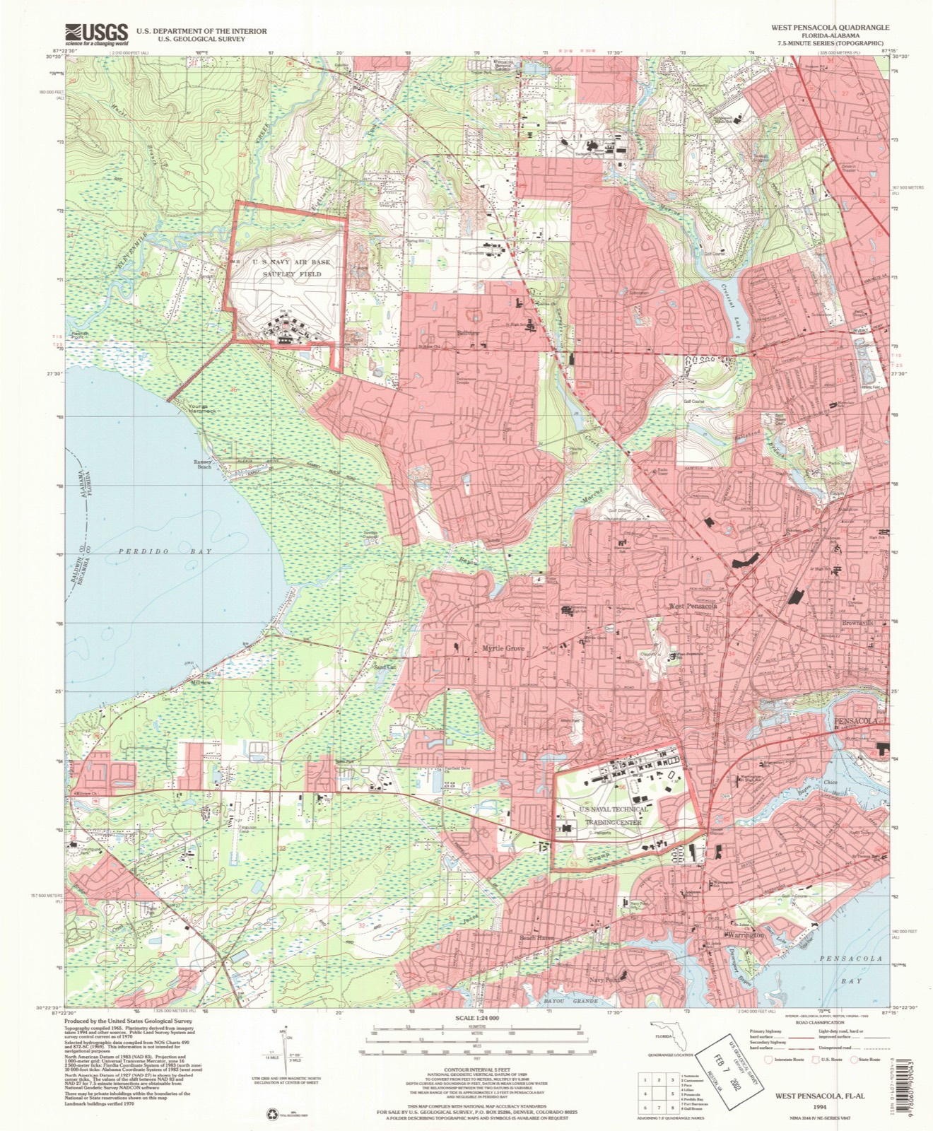
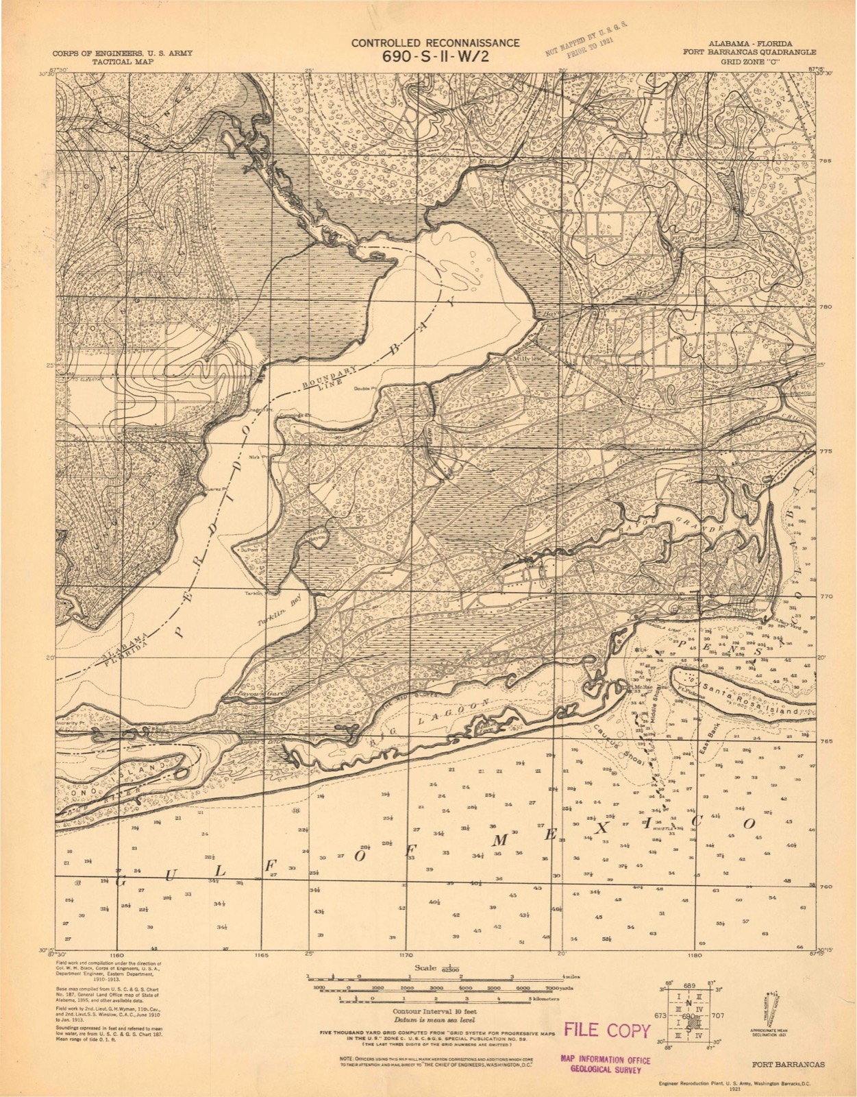
Compare 1921 against another survey:
Population over time
2 figuresWest Pensacola fell from 21,339 to 21,019 between 2010 and 2020. These are the recorded population figures Wikidata holds for this place, reached through the Geographic Names Information System number this page is keyed on rather than by name, so they belong to this place and not to another of the same name. Most are census counts, but not all are: an early figure may be a founding or settlement estimate, and an estimate published within five years of a census is left out. The change column is computed, and is left blank where more than 20 years separate a figure from the one before it, because a gap that long is not a change between two counts.
| Year | People | Change |
|---|---|---|
| 2010 | 21,339 | |
| 2020 | 21,019 | -320 (-1%) |
Topographic sheets covering this place
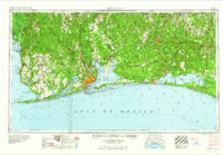
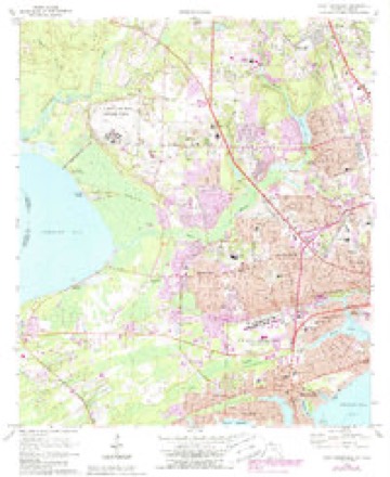
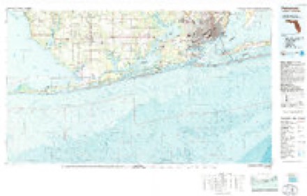
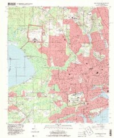
10 surveys from 18 printed sheetsMatched by testing this settlement's coordinate against the published boundary of every sheet in the United States Geological Survey's historical collection. Each opens the scanned sheet at the Survey.
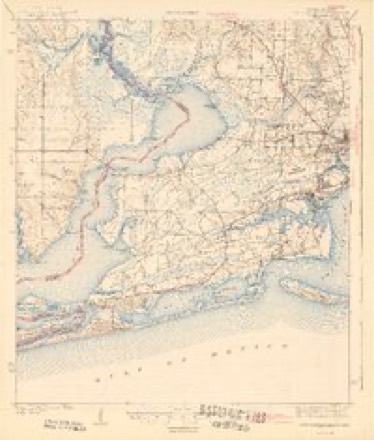
- 1921 USGS Fort Barrancas quadrangle1:62500
- 1941 USGS Fort Barrancas quadrangle1:62500, 3 printings
- 1943 USGS Fort Barrancas quadrangle1:62500, 2 printings
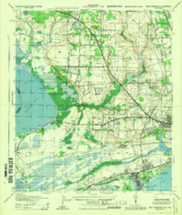
- 1944 USGS West Pensacola quadrangle1:25000
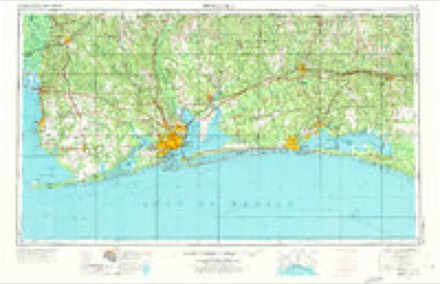
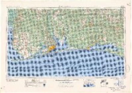
- 1957 USGS Pensacola quadrangle1:250000, 3 printings
- 1959 USGS Pensacola quadrangle1:250000
- 1960 USGS Pensacola quadrangle1:250000
- 1970 USGS West Pensacola quadrangle1:24000, 2 printings
- 1978 USGS Pensacola quadrangle1:100000, 3 printings
- 1994 USGS West Pensacola quadrangle1:24000
Fires near this place
127 since 1992Regional context, not property-specific evidence. The federal wildfire occurrence database lists 127 fires within 5 miles of West Pensacola between 1992 and 2018, burning about 2,059 acres in total. 3 started naturally. 3 were recorded as arson. Distance is straight-line from the map coordinates, so a fire counted here may appear on a neighbouring settlement's page as well.
| Reported cause | Fires |
|---|---|
| Misuse of fire by a minor | 31 |
| Equipment and vehicle use | 29 |
| Missing data/not specified/undetermined | 26 |
| Railroad operations and maintenance | 17 |
| Debris and open burning | 7 |
| Smoking | 5 |
| Arson/incendiarism | 3 |
| Natural | 3 |
| Recreation and ceremony | 2 |
| Fireworks | 2 |
| Power generation/transmission/distribution | 1 |
| Other causes | 1 |
The most recent of them, most recent first, with the day each was reported and the service that recorded it.
| Date | Cause | Size | Reported by | Name on the report |
|---|---|---|---|---|
| 23 September 1999 | Misuse of fire by a minor | under an acre | Florida Forest Service | not named |
| 22 September 1999 | Misuse of fire by a minor | under an acre | Florida Forest Service | not named |
| 21 September 2017 | Missing data/not specified/undetermined | under an acre | Florida Forest Service | MARLANE CEMETARY (17) |
| 21 September 2016 | Debris and open burning | 1.0 acres | Florida Forest Service | HARBOR PLACE (17) |
| 27 August 2000 | Misuse of fire by a minor | 6.0 acres | Florida Forest Service | not named |
| 26 August 2007 | Natural | 6.0 acres | Florida Forest Service | 17 JONES SWAMP FIRE-1415 |
| 26 August 1993 | Railroad operations and maintenance | 1.0 acres | Florida Forest Service | not named |
| 20 August 2007 | Arson/incendiarism | 1.0 acres | Florida Forest Service | 17-ATHLETIC COMPLEX FIRE-1391 |
Settlements close enough to share some of these fires:
Mines and quarries near this place
10 of 14 shownRegional context, not property-specific evidence. The federal mineral resources record lists 14 workings within 5 miles of West Pensacola: 7 unknowns, 5 producers, 2 past producers. 5 still produce. What was taken out: Sand, Sand and Gravel, Construction, Clay, Phosphorus-Phosphates. Distance is straight-line from the map coordinates, so a quarry counted here may appear on a neighbouring settlement's page as well.
| Where | Site | Commodity | Status | Recorded |
|---|---|---|---|---|
| Agrico Pensacola Plant | Phosphorus-Phosphates | Unknown | ||
| Alden Clay Pit | Clay | Past Producer | ||
| Clarks Sand Co. Pensacola Mine | Sand and Gravel, Construction | Producer | ||
| Gulf Coast Grading and Paving - Dean | Clay | Producer | Clay | |
| Gulf Coast Grading and Paving - Milford | Clay | Producer | Clay | |
| Pensacola Mine | Sand and Gravel, Construction | Producer | ||
| Saufley Field Mine | Sand and Gravel, Construction | Past Producer | ||
| Clark Sand and Gravel - Pensacola Mine | Sand | Producer | ||
| Dot Pensacola - Brent Mine | Sand | Unknown | ||
| Edward M. Chadburn, Inc. - Boley Mine | Sand | Unknown |
Storms near this place
6 since 1995Regional context, not property-specific evidence. The National Weather Service names West Pensacola in 6 storm reports between 1995 and 2023: 2 hail, 1 thunderstorm wind, 1 wildfire, 1 flash flood. No death or injury is recorded in these reports. Each account below is quoted exactly as the forecast office filed it, from the NOAA Storm Events Database, and each date opens the federal record of that event.
| When | Event | Place named | Harm | What the report says |
|---|---|---|---|---|
| July 2000 | Wildfire | West Pensacola | $20,000 | Lightning started a woods fire in the west part of Pensacola. The fire started in a heavily wooded area and spread toward a sub-division. The fire threatened 150 homes but was brought under control before reaching the homes. No injuries were reported. |
| July 1995 | Thunderstorm Wind | West Pensacola | $1,000 | Wind gust to 58 mph and dime-size hail was reported two miles east of Lillian, Alabama, on the west side of Pensacola just past the Lillian Bridge. |
| June 2023 | Tornado (EF2) | West Pensacola | - | Damage survey found a very broad area roughly a mile and a half|wide of strong sporadic straight line winds beginning around|Fairfield drive and 52nd Ave in West Pensacola. No visual|convergence was noted until the area near N Old Corry Field Rd|and W Gregory St. Several large limbs were noted and few uproots|at this location in a loosely convergent pattern. This more|concentrated damage continued south-southeast across US 98 to|Barrancas Ave with a several mile wider swath of damaging winds.|The path at this point seems discontinuous with several weak areas|of convergence resulting in likely high end EF-0 damage embedded|within a broader damaging wind swath. A more concentrated area of|convergence appears around Fairway Drive on the north side of the|Pensacola County Club. Several hardwoods had large 2 foot in|diameter branches snapped and several softwood pines were snapped|as a more continuous path extended across the country club and|Bayshore Dr before moving out over Pensacola Bay. ||The tornado then likely continued as a waterspout traversing Pensacola Bay|dodging the western tip of Gulf Breeze before wrapping back|southeast towards Pensacola Beach. The tornado quickly|strengthened as it crossed Fort Pickens Rd near Galvez CT.|Significant damage to homes built to withstand significant|hurricanes was noted and thus damage estimates from this location leaned on|the higher side for given damage indicators. Several of the homes|across a quarter mile swath had damage to siding including|several sides beings completely removed. A few homes lost 20 to|60 percent of metal roofing material even with proper hurricane|code anchors. Several bottom floor garages were completely gutted|as garage doors were blown in and destroyed. Bottom exterior walls|blew out leading to complete exposure of the bottom floors.|Several palm trees across the area were snapped a few feet off the|ground. The most notable damage was right along Fort Pickens Rd|where a house under construction had the entire top floor and|roof removed. This damage was put on the lower end of estimates|as the house was under construction and an opening on the north|side may have helped the failure of the upper walls and floors.|However, a large dumpster likely weighing several hundred pounds|was thrown roughly 50-70 yards due east and was deposited between|two palm trees about 2 feet off the ground. The damage to the|home, dumpster combined with a garage door that failed being|wrapped around a concrete piling resulted in the peak wind|estimate of 120 mph. ||The tornado likely crossed over Fort Pickens Rd and into the |Gulf of Mexico where it likely dissipated. One other interesting |damage note was that at least two boats were tossed on the Pensacola |Bay side. One boat was found about 20-30 yards from the boat lift |upside down in the water. The other boat was thrown off the lift |and was reportedly found near Deer Point about a mile north across |the bay. This boat likely floated over there but still impressive. |There is no damage indicator for boats; however, the sheer |impressiveness helped support the higher rating given the surrounding |damage indicators. |
| June 2017 | Flash Flood | West Pensacola | - | Reports of knee deep water the the Forest Creek Apartments. |
| March 1998 | Hail | West Pensacola | - | Dime size hail was reported along I-10 just west of Pensacola. |
| July 1995 | Hail | West Pensacola | - | Wind gust to 58 mph and dime-size hail was reported two miles east of Lillian, Alabama, on the west side of Pensacola just past the Lillian Bridge. |
Nearest settlements
The eight closest, with where each one stands in the county. Distances are straight-line, computed from the Geographic Names Information System coordinates.
| Map | Place | Distance | Sheets |
|---|---|---|---|
| Brownsville | 1.5 miles | 18 | |
| Myrtle Grove | 1.5 miles | 18 | |
| Avondale | 2.3 miles | 18 | |
| Cerny Heights | 2.3 miles | 18 | |
| Tristan Village | 2.4 miles | 18 | |
| Sand Cut | 2.6 miles | 18 | |
| Sanders Beach | 2.9 miles | 17 | |
| Warrington | 2.9 miles | 18 |
Elsewhere
Matched on this settlement's Geographic Names Information System number rather than its name, so it cannot be a different place of the same name in another state.
| Wikipedia article on West Pensacola | An encyclopaedic summary. Its text is share-alike, so it is linked here rather than copied. |
| Wikidata item Q2375845 | The structured record the population and elevation above come from. Public domain (CC0). |
Provenance
This settlement is recorded in the Geographic Names Information System as feature 293107. The sheet list is computed by point-in-boundary test against the United States Geological Survey's historical topographic inventory. Both are works of the United States government and carry no copyright under 17 U.S.C. 105.
Wildfire. Short, Karen C. 2022. Spatial wildfire occurrence data for the United States, 1992-2020 [FPA_FOD_20221014]. 6th Edition. Fort Collins, CO: Forest Service Research Data Archive. https://doi.org/10.2737/RDS-2013-0009.6 Collected with United States Government funding and usable without additional permissions or fees.
Mines and quarries. USGS Mineral Resources Data System (MRDS) https://mrdata.usgs.gov/mrds/ A work of the United States government, no copyright under 17 U.S.C. 105.
Storms. NOAA National Centers for Environmental Information, Storm Events Database https://www.ncei.noaa.gov/stormevents/ A work of the United States government, no copyright under 17 U.S.C. 105. Narratives are quoted verbatim from the National Weather Service report and are not edited or summarised.