 Block
BlockWarrington, Florida
18 topographic sheets cover this place, the earliest surveyed in 1921 and the latest in 1994. It stands in the Pensacola census division. It lies in ZIP code area 32507. The Survey maps it on the West Pensacola quadrangle. 15,218 people lived here at the 2020 count. It stands 52 feet above sea level.
Then and now
1921 to 1994The same ground, surveyed 73 years apart. Drag the handle to wipe between them. Both sheets are United States Geological Survey originals; neither has been altered.
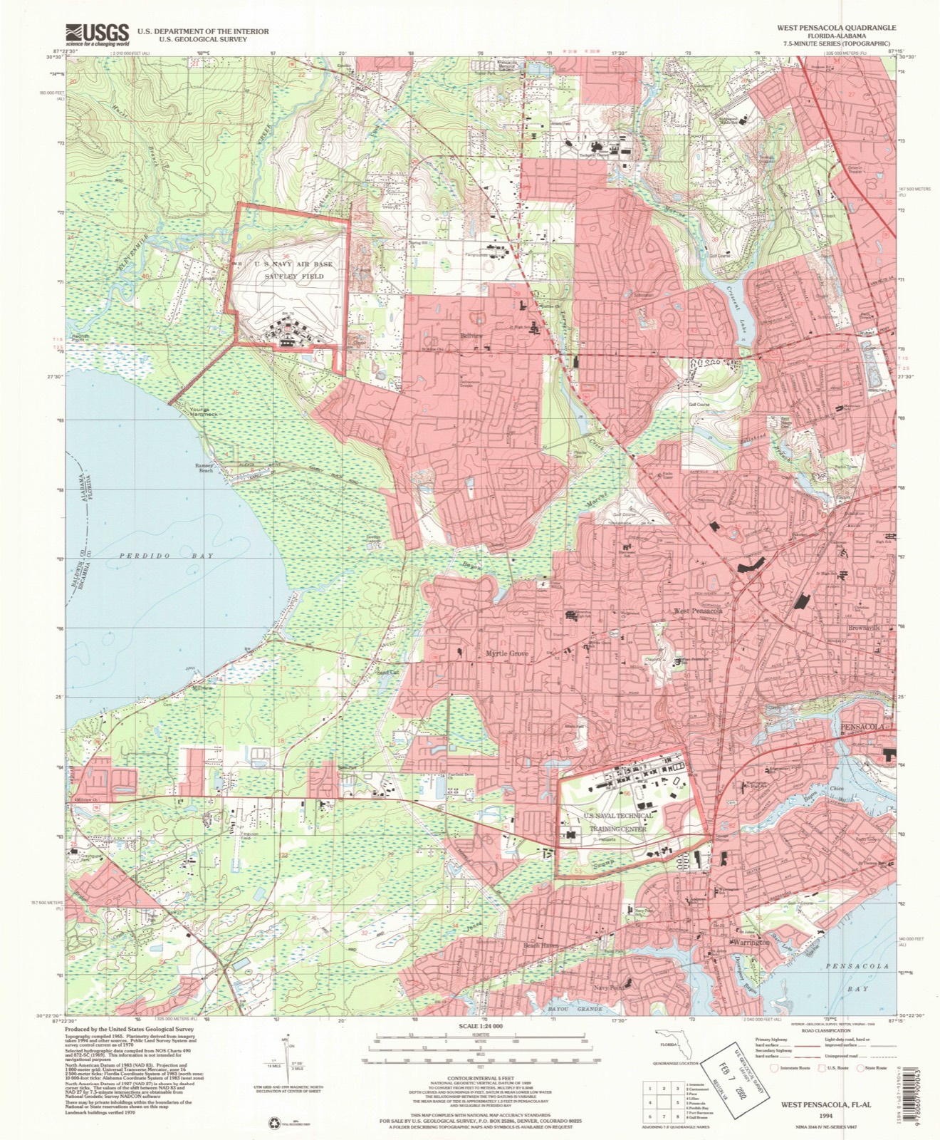
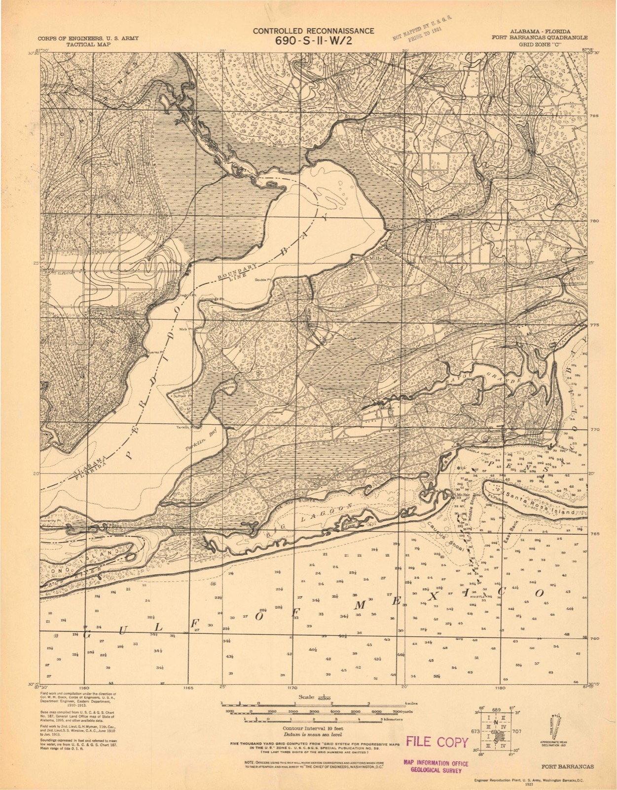
Compare 1921 against another survey:
On record in Warrington
Buildings and businesses the archive holds for this place. Each opens its own page, with the source record it came from.
On the National Register 1 record
- Perdido Key Historic Districtlisted 1980
Population over time
2 figuresWarrington grew from 14,531 to 15,218 between 2010 and 2020. These are the recorded population figures Wikidata holds for this place, reached through the Geographic Names Information System number this page is keyed on rather than by name, so they belong to this place and not to another of the same name. Most are census counts, but not all are: an early figure may be a founding or settlement estimate, and an estimate published within five years of a census is left out. The change column is computed, and is left blank where more than 20 years separate a figure from the one before it, because a gap that long is not a change between two counts.
| Year | People | Change |
|---|---|---|
| 2010 | 14,531 | |
| 2020 | 15,218 | +687 (+5%) |
Topographic sheets covering this place
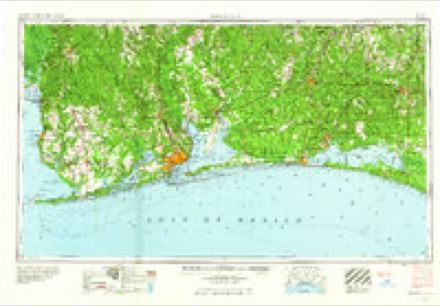
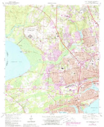
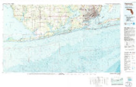
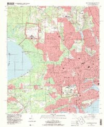
10 surveys from 18 printed sheetsMatched by testing this settlement's coordinate against the published boundary of every sheet in the United States Geological Survey's historical collection. Each opens the scanned sheet at the Survey.
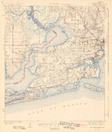
- 1921 USGS Fort Barrancas quadrangle1:62500
- 1941 USGS Fort Barrancas quadrangle1:62500, 3 printings
- 1943 USGS Fort Barrancas quadrangle1:62500, 2 printings
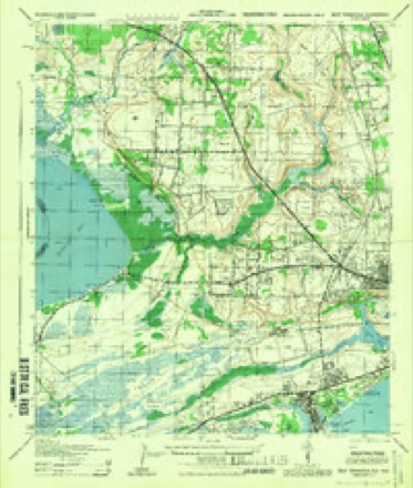
- 1944 USGS West Pensacola quadrangle1:25000
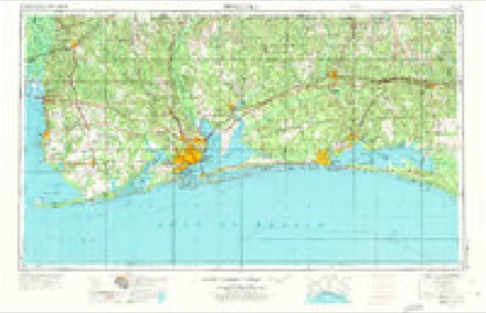
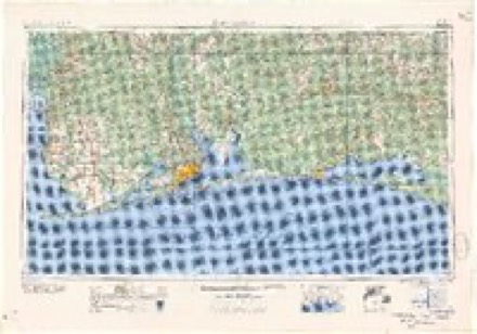
- 1957 USGS Pensacola quadrangle1:250000, 3 printings
- 1959 USGS Pensacola quadrangle1:250000
- 1960 USGS Pensacola quadrangle1:250000
- 1970 USGS West Pensacola quadrangle1:24000, 2 printings
- 1978 USGS Pensacola quadrangle1:100000, 3 printings
- 1994 USGS West Pensacola quadrangle1:24000
Fires near this place
112 since 1992Regional context, not property-specific evidence. The federal wildfire occurrence database lists 112 fires within 5 miles of Warrington between 1992 and 2018, burning about 1,922 acres in total. 7 started naturally. 4 were recorded as arson. Distance is straight-line from the map coordinates, so a fire counted here may appear on a neighbouring settlement's page as well.
| Reported cause | Fires |
|---|---|
| Equipment and vehicle use | 25 |
| Misuse of fire by a minor | 24 |
| Missing data/not specified/undetermined | 21 |
| Railroad operations and maintenance | 12 |
| Debris and open burning | 8 |
| Natural | 7 |
| Fireworks | 4 |
| Arson/incendiarism | 4 |
| Smoking | 4 |
| Recreation and ceremony | 1 |
| Power generation/transmission/distribution | 1 |
| Other causes | 1 |
The most recent of them, most recent first, with the day each was reported and the service that recorded it.
| Date | Cause | Size | Reported by | Name on the report |
|---|---|---|---|---|
| 8 September 2014 | Natural | under an acre | Gulf Island National Seashore | OSPREY FIRE |
| 23 September 1999 | Misuse of fire by a minor | under an acre | Florida Forest Service | not named |
| 22 September 1999 | Misuse of fire by a minor | under an acre | Florida Forest Service | not named |
| 21 September 2017 | Missing data/not specified/undetermined | under an acre | Florida Forest Service | MARLANE CEMETARY (17) |
| 21 September 2016 | Debris and open burning | 1.0 acres | Florida Forest Service | HARBOR PLACE (17) |
| 2 September 1995 | Misuse of fire by a minor | 1.5 acres | Florida Forest Service | not named |
| 1 September 2002 | Railroad operations and maintenance | 1.0 acres | Florida Forest Service | not named |
| 31 August 2002 | Railroad operations and maintenance | under an acre | Florida Forest Service | not named |
Settlements close enough to share some of these fires:
Mines and quarries near this place
6 within 5 milesRegional context, not property-specific evidence. The federal mineral resources record lists 6 workings within 5 miles of Warrington: 3 unknowns, 2 producers, 1 past producer. 2 still produce. What was taken out: Sand, Sand and Gravel, Construction, Phosphorus-Phosphates, Clay. Distance is straight-line from the map coordinates, so a quarry counted here may appear on a neighbouring settlement's page as well.
| Where | Site | Commodity | Status | Recorded |
|---|---|---|---|---|
| Agrico Pensacola Plant | Phosphorus-Phosphates | Unknown | ||
| Alden Clay Pit | Clay | Past Producer | ||
| Clarks Sand Co. Pensacola Mine | Sand and Gravel, Construction | Producer | ||
| Clark Sand and Gravel - Pensacola Mine | Sand | Producer | ||
| Edward M. Chadburn, Inc. - Hollywood Mine | Sand | Unknown | ||
| Edward M. Chadburn, Inc. - Hughes Mine | Sand | Unknown |
Storms near this place
16 since 1996Regional context, not property-specific evidence. The National Weather Service names Warrington in 16 storm reports between 1996 and 2023: 6 thunderstorm wind, 5 lightning, 2 heavy rain, 1 hail. The reports record 8 injuries. Each account below is quoted exactly as the forecast office filed it, from the NOAA Storm Events Database, and each date opens the federal record of that event.
| When | Event | Place named | Harm | What the report says |
|---|---|---|---|---|
| October 2007 | Tornado (EF1) | Warrington | 4 hurt, $1,000,000 | A storm survey was conducted Thursday afternoon on the tornado that struck Pensacola Florida on October 18. The tornado was rated an EF1 on the new enhanced Fujita scale (86-109 mph). The maximum width of the tornado was about 150 yards and the track length was about 5.5 miles. The tornado began around 1010 am CDT and lasted for about fifteen minutes.|The storm probably started as a waterspout over the Bay. Damage first began along the water just northeast of Pensacola Naval Air Station (just south of Silvershore drive). Minor damage occurred in this area. The storm tracked northeast over the water just parallel to the shore and moved ashore near the old Bayou Chico drawbridge. Several homes in this area suffered roof damage. Several boats were flipped over in this area as there are several boat storage facilities located near the water.|The tornado moved northeast and crossed Garden street near E street. Minor tree and power line damage occurred along this track. The tornado started causing a little more damage near Gregory and D streets as this is a more populated area. The tornado continued tracking northeast and crossed Cervantes near A street and continued northeast and crossed Highway 29 near Mallory street. Most of the home and church damage occurred along the track from B to Barcelona streets. A couple of homes near Jackson street were heavily damaged and a church on A street had part of its roof taken off. Four minor injuries also happened in this area. A daycare center in the church had been alerted to a tornado and had taken cover several minutes before the tornado hit.|After crossing Highway 29 the storm crossed I-110 just north of the pool and started tracking a little more to the north northeast and crossed Davis near the ball fields. Mostly tree and power line damage occurred along this track. The ball fields had bleachers turned over and power lines down.|The storm continued to the north northeast and crossed Ninth avenue near Texar drive and crossed Bayou boulevard near the Target store and eventually dissipated near Cordova mall. Most of the damage from the ball fields to Target was tree damage and minor roof damage. Thirty cars in the Target parking lot were totally destroyed. Very little damage occurred to the store. Across the street, Office Depot suffered roof damage. Part of the mall had skylights damaged and this allowed water to fall into part of the mall. No damage was found north of the mall.|The storm destroyed four structures...caused major damage to twenty-four structures and caused minor damage to fifty eight structures. |
| April 2000 | Thunderstorm Wind | Warrington | 4 hurt, $70,000 | Strong thunderstorm winds produced damage at the intersection South Fairfield Drive and Dalton Street. A mobile home was overturned by the high winds, and one end of the structure was sheared off to the floor level by some pine trees as it overturned. A concrete block house just north of the mobile home suffered some minor wind damage to the roof. Several trees and some power lines were blown down at the same location. Four people (3 children and 1 adult), the occupants of the mobile home, were transported to the hospital with minor injuries. |
| March 2000 | Thunderstorm Wind | Warrington | $350,000 | The fire department in Warrington measured a thunderstorm downburst wind gust of 65 mph at 430 pm CST. The strong winds associated with this downburst produced a large area of wind damage in the Warrington area. A large Oak tree was uprooted and landed on a wood frame house, causing major damage to the srtucture. The roof and walls were damaged and the house was moved off its pillars. Another tree was blown over onto another house, causing minor roof damage. High thunderstorm winds also blew a section of the roof off the Redeemer Lutheran School, and the school was closed for several days after the storm. Elsewhere around the Warrington area, damage was primarily in the form of downed trees, tree limbs and power lines. Electrical power was out for several hours after the storm. No injuries were reported. |
| June 2004 | Lightning | Warrington | $50,000 | Lightning struck a home near Warrington. The strike started a fire and the home burned down before firefighters could put out the blaze. No one was injured. |
| March 2001 | Lightning | Warrington | $25,000 | Lightning struck a live oak tree and shattered it. The tree fell on a home and caused damage to the roof. Parts of the tree were blown about 100 yards away from the strike. No one was injured. |
| December 2002 | Thunderstorm Wind | Warrington | $15,000 | High winds from a thunderstorm blew down several trees near Warrington. A home in the same area also suffered minor roof damage caused by the high winds. |
| July 2007 | Thunderstorm Wind | Warrington | $12,000 | High winds from a thunderstorm downed power lines in Warrington. |
| June 2012 | Flash Flood | Warrington | $10,000 | Heavy rain flooded an apartment complex and 100 people had to be evacuated. |
| June 2008 | Lightning | Warrington | $10,000 | no account filed |
| September 1996 | Thunderstorm Wind | Warrington | $2,000 | no account filed |
| July 2003 | Lightning | Warrington | $1,000 | Lightning struck a tree and the strike traveled through the trees root system and burned a hole through a plastic natural gas line. The fire was extinguished quickly after the gas was turned off. |
| October 1997 | Thunderstorm Wind | Warrington | $1,000 | Wind gusts of 79 mph were reported at a chemical company near Warrington. The microburst caused minor damage to a trailer and to a roof. A window was also blown in. |
| June 2023 | Heavy Rain | Warrington | - | Mesonet site recorded 11.26 inches of rain. |
| June 2023 | Heavy Rain | Warrington | - | Mesonet site recorded 15.23 inches of rain in the last 6 hours. |
| June 2008 | Lightning | Warrington | - | no account filed |
| January 1997 | Hail | Warrington | - | no account filed |
Nearest settlements
The eight closest, with where each one stands in the county. Distances are straight-line, computed from the Geographic Names Information System coordinates.
| Map | Place | Distance | Sheets |
|---|---|---|---|
| Navy Point | 1.0 miles | 18 | |
| Beach Haven | 1.7 miles | 18 | |
| Sanders Beach | 2.2 miles | 17 | |
| West Pensacola | 2.9 miles | 18 | |
| Myrtle Grove | 3.1 miles | 18 | |
| Brownsville | 3.1 miles | 18 | |
| Sand Cut | 3.8 miles | 18 | |
| Pensacola | 4.0 miles | 17 |
Elsewhere
Matched on this settlement's Geographic Names Information System number rather than its name, so it cannot be a different place of the same name in another state.
| Wikipedia article on Warrington | An encyclopaedic summary. Its text is share-alike, so it is linked here rather than copied. |
| Wikidata item Q2119312 | The structured record the population and elevation above come from. Public domain (CC0). |
Provenance
This settlement is recorded in the Geographic Names Information System as feature 292895. The sheet list is computed by point-in-boundary test against the United States Geological Survey's historical topographic inventory. Both are works of the United States government and carry no copyright under 17 U.S.C. 105.
Wildfire. Short, Karen C. 2022. Spatial wildfire occurrence data for the United States, 1992-2020 [FPA_FOD_20221014]. 6th Edition. Fort Collins, CO: Forest Service Research Data Archive. https://doi.org/10.2737/RDS-2013-0009.6 Collected with United States Government funding and usable without additional permissions or fees.
Mines and quarries. USGS Mineral Resources Data System (MRDS) https://mrdata.usgs.gov/mrds/ A work of the United States government, no copyright under 17 U.S.C. 105.
Storms. NOAA National Centers for Environmental Information, Storm Events Database https://www.ncei.noaa.gov/stormevents/ A work of the United States government, no copyright under 17 U.S.C. 105. Narratives are quoted verbatim from the National Weather Service report and are not edited or summarised.