BlockBefore
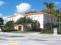
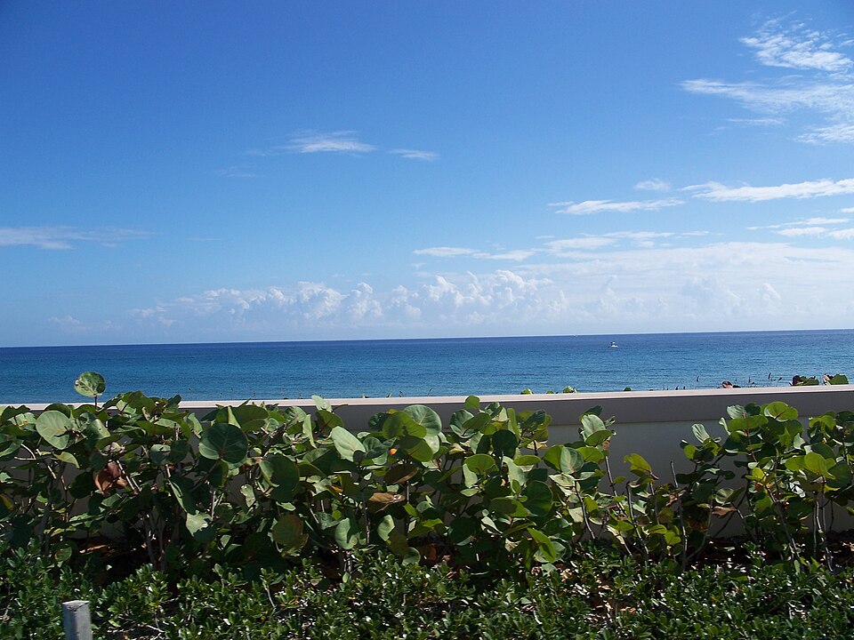
Photograph of Lofthus
Photograph by Ebyabe, CC BY-SA 3.0. Via Wikimedia Commons.

Lofthus (shipwreck)

Listed on the National Register of Historic Places in 2004. 8 historic topographic surveys show this location, the earliest from 1945.

From the record

“The Lofthus is a Norwegian shipwreck near Boynton Beach, Florida, United States. Built in 1868 in Sunderland, England by T.R.”

Wikipedia article Lofthus (shipwreck), CC BY-SA 4.0.

One of 74 National Register listings published here for Palm Beach County · listed in 2004 · category: Site.

Sources: the Wikipedia article · the case file at the National Archives · the National Register database, National Park Service
The listing

  • What is counted as historic. The nomination lists 1 site as contributing to the listing.
  • Address. 0.75 mi. N of Boynton Inlet, 175 yards offshore, Boynton Beach, 33462
  • When was it listed? January 2004
  • Category. site
  • Census division. Boynton Beach-Delray Beach
  • National Register reference number. 03001363 - the number the National Park Service assigned this property when it was listed, and the key its nomination file is catalogued under at the National Archives.

Then and now

1945 to 1956

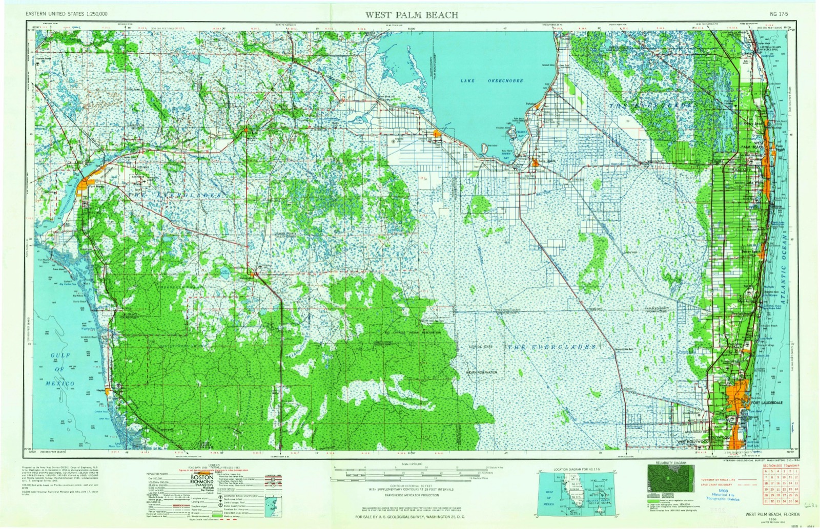
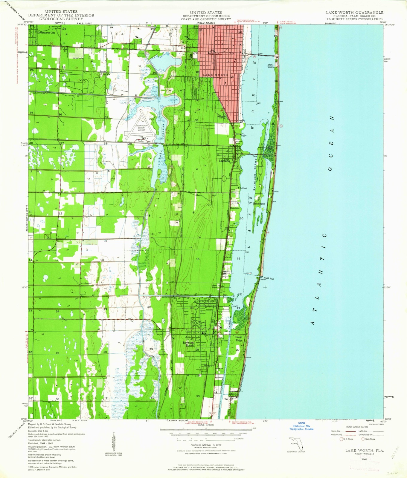
The ground this property stands on, surveyed 11 years apart. Drag the handle to wipe between them. Both sheets are United States Geological Survey originals; neither has been altered.

Topographic sheet covering Lofthus (shipwreck), surveyed 1956
Topographic sheet covering Lofthus (shipwreck), surveyed 1945

Fires near this property

7 since 2000

Regional context, not property-specific evidence. The federal wildfire occurrence database lists 7 fires within 5 miles of Lofthus (shipwreck) between 2000 and 2017, burning about 18 acres in total. 1 started naturally. 1 was recorded as arson. Distance is straight-line from the map coordinates, so a fire counted here may appear on a neighbouring settlement's page as well.

Reported cause Fires
Missing data/not specified/undetermined3
Misuse of fire by a minor1
Arson/incendiarism1
Recreation and ceremony1
Natural1

The most recent of them, most recent first, with the day each was reported and the service that recorded it.

DateCause SizeReported by Name on the report
3 June 2008Missing data/not specified/undetermined4.0 acresFlorida Forest ServiceMINOR ROAD FIRE
26 May 2000Arson/incendiarism2.0 acresFlorida Forest Servicenot named
22 May 2007Natural1.0 acresFlorida Forest ServiceCONGRESS COMMAND
19 April 2002Missing data/not specified/undetermined7.2 acresFlorida Forest Servicenot named
3 March 2011Recreation and ceremony1.0 acresFlorida Forest ServiceHC FIRE
7 February 2008Missing data/not specified/undetermined1.5 acresFlorida Forest ServiceHYPOLUXO FIRE
19 February 2017Misuse of fire by a minor1.0 acresFlorida Forest ServiceNICKELS (50)

Every fire recorded in Palm Beach County

Storms near this property

23 since 1994

Regional context, not property-specific evidence. The National Weather Service names Boynton Beach, the town this property stands in, in 23 storm reports between 1994 and 2012: 6 thunderstorm wind, 6 tornado, 3 waterspout, 3 funnel cloud. The reports record 1 death. Each account below is quoted exactly as the forecast office filed it, from the NOAA Storm Events Database, and each date opens the federal record of that event.

WhenEvent Place namedHarm What the report says
October 1998Rip CurrentBoynton Beach1 killedStrong easterly winds resulted in rip currents. 20 year old man was last seen surfing but time of drowning is unknown. Lifeguards reported several rescues.
July 2007LightningBoynton Beach$875,000Three homes were struck by lightning in Boynton Beach during a 48-minute period on July 4th. The area affected was between Congress Avenue and Jog Road. ||One home in the 12300 block of Forest Greens Drive suffered about $100,000 in fire and smoke damage to the attic. A second home in the 9700 block of Coronado Lakes Drive suffered about $25,000 in damage when a tower atop the home was struck, with tiles being torn off the roof. ||The third home suffered the most damaged, estimated at $750,000, in the 4100 block of Juniper Terrace. Fire started in the attic and eventually collapsed a portion of the roof. Sixty percent of the roof burned away.||Over 600 lightning strikes were recorded in Palm Beach County between 3 and 5 PM.
August 2001Tornado (F1)Boynton Beach$100,000A tornado touched down near Greenbriar Drive and moved west northwest. A Chickee Hut at the Ann Marie Motel was damaged as were a fence and a portion of the motel roof. Power lines were blown down onto I-95 and trees were uprooted and street signs blown down along the path.
August 2002Thunderstorm WindBoynton Beach$10,000Minor damage reported in a trailer park.
April 2000Tornado (F0)Boynton Beach$5,000A waterspout moved ashore from the intracoastal waterway and did minor damage to a restaurant at a yacht club near U.S.1 and Hypoluxo Road.
August 2012Thunderstorm WindBoynton Beach-A trained spotter reported trees downed with estimated wind gusts of 60 mph near Interstate 95.
July 2012Thunderstorm WindBoynton Beach-Public estimated up to 60 mph wind gusts from a thunderstorm just inland of Boynton Beach.
April 2007HailBoynton Beach-Nickel to golf ball size hail reported north of Boynton Beach Boulevard, just east of Florida Turnpike.
September 2004HailBoynton Beach-A SKYWARN spotter reported hail three-quarter of and inch in diameter.
April 2003Thunderstorm WindBoynton Beach-A SKYWARN spotter estimated wind gusts of 60 mph.
June 2001Thunderstorm WindBoynton Beach-A large ficus tree was uprooted in west Boynton Beach.
September 2001Tornado (F0)Boynton Beach-The Sheriff's Office reported a tornado on the ground for about one half mile. The tornado did no known damage and caused no casualties.
April 2000Tornado (F0)Boynton Beach-A brief tornado touched down near Congress Avenue and Boynton Beach Boulevard.
September 2000FloodBoynton Beach-Street flooding was reported in Boynton Beach.
September 2000Tornado (F0)Boynton Beach-The public reported a tornado touched down near Woolbright Road and 23 Avenue.
July 1998WaterspoutBoynton Beach-USCG reported three waterspouts 20 to 30 nm east of Boynton Beach.
November 1998Tornado (F0)Boynton Beach-Brief tornado touchdown near the turnpike and Hypoluxo Road did no known damage.
June 1994Thunderstorm WindBoynton Beach-Trees blown down at Lechalet Blvd and Military Trail in Boynton Beach.
April 2000Funnel CloudBoynton Beach-no account filed
November 1999WaterspoutBoynton Beach-no account filed
August 1999Funnel CloudBoynton Beach-no account filed
June 1999Funnel CloudBoynton Beach-no account filed
August 1996WaterspoutBoynton Beach-no account filed

Every storm recorded in Palm Beach County

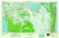
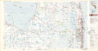
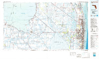
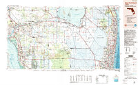
Maps showing this location

8 surveys

United States Geological Survey topographic sheets whose coverage includes this point. Matched by taking the coordinate the National Park Service records for this property, then testing that coordinate against the published boundary of every sheet.

Listed places nearby

6 within 8 miles

Other National Register properties close enough to walk or drive between, ordered by distance from this one. Both positions come from the same geocoding pass that matched these properties to their map sheets.

Photograph PropertyDistance Listed
Eastover0.3 miles2002
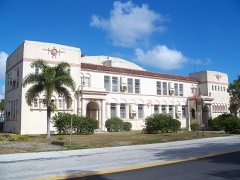
Osborne School2.4 miles2003
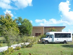
Boynton School2.9 miles1994
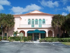
Boynton Woman's Club3.3 miles1979
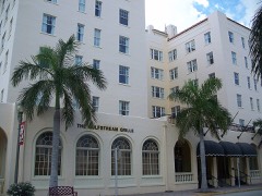
Gulf Stream Hotel3.6 miles1983
Lake Worth City Hall, Old3.8 miles1989

Sources for this property

National Archives recordThe nomination case file for reference 03001363 in Record Group 79.
Wikipedia articleCommunity-written account of this property, licensed CC BY-SA.
Palm Beach CountyAll 74 listed properties in this county.

Provenance

  • Listing record. National Park Service National Register of Historic Places, listed-properties dataset, current to 2026-05-22.
  • Map join. Address geocoded through the United States Census geocoder, then tested against the published boundary of every sheet in the USGS Historical Topographic Map Collection.
  • How this page is made. Listing fields come from federal records; map-sheet coverage is a labelled coordinate-to-boundary calculation, not a source-field claim.
  • Wildfire. Short, Karen C. 2022. Spatial wildfire occurrence data for the United States, 1992-2020 [FPA_FOD_20221014]. 6th Edition. Fort Collins, CO: Forest Service Research Data Archive. https://doi.org/10.2737/RDS-2013-0009.6 Collected with United States Government funding and usable without additional permissions or fees.
  • Storms. NOAA National Centers for Environmental Information, Storm Events Database https://www.ncei.noaa.gov/stormevents/ A work of the United States government, no copyright under 17 U.S.C. 105. Narratives are quoted verbatim from the National Weather Service report and are not edited or summarised.