Block
BlockFrom the record
One of 11 National Register listings published here for Flagler County · listed in 2005 · category: Structure.
Sources: the case file at the National Archives · the National Register database, National Park Service
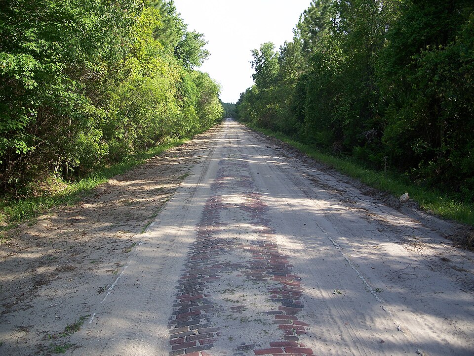
Listed on the National Register of Historic Places in 2005. 8 historic topographic surveys show this location, the earliest from 1937.
One of 11 National Register listings published here for Flagler County · listed in 2005 · category: Structure.
Sources: the case file at the National Archives · the National Register database, National Park Service
The ground this property stands on, surveyed 17 years apart. Drag the handle to wipe between them. Both sheets are United States Geological Survey originals; neither has been altered.
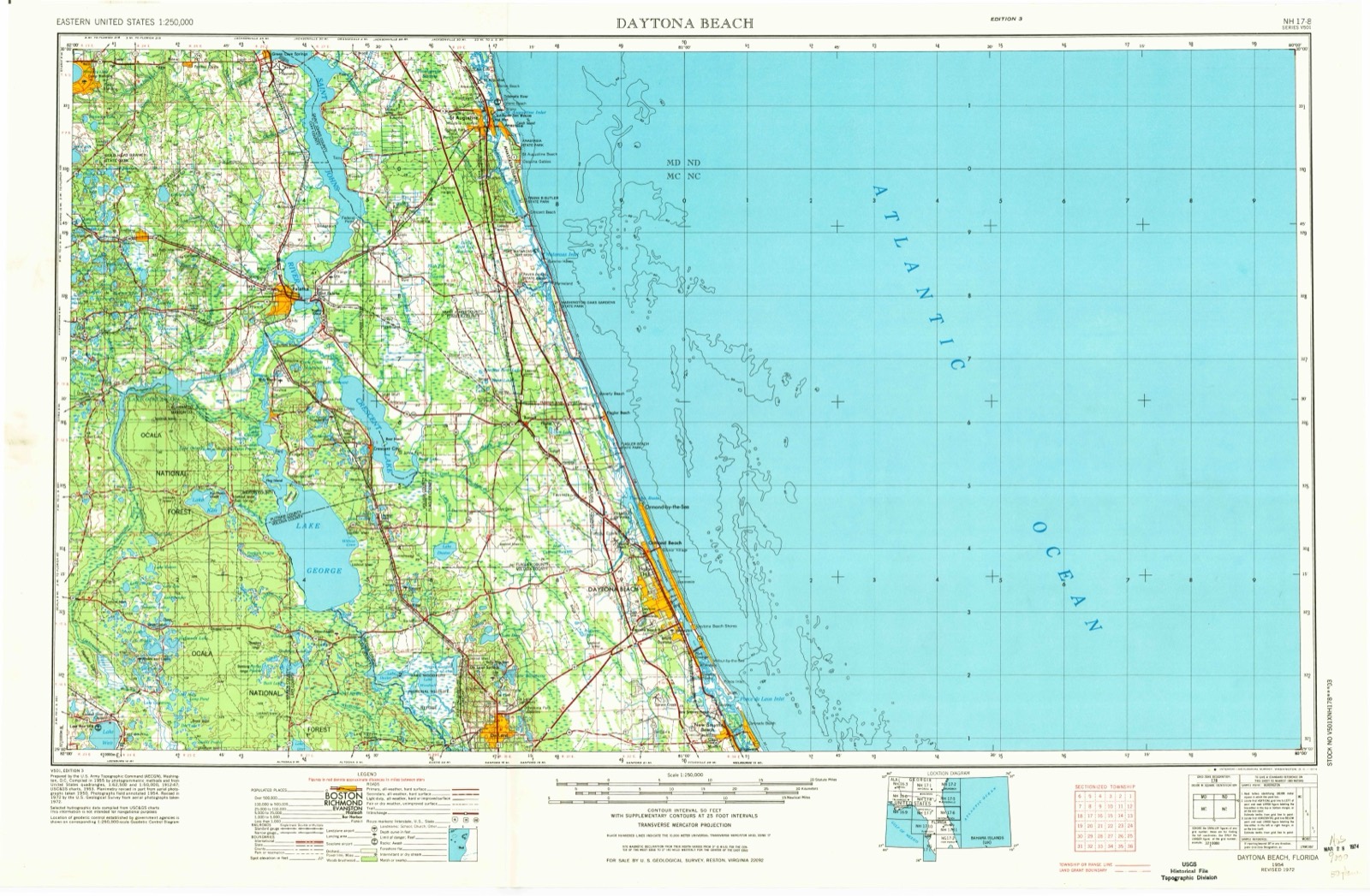
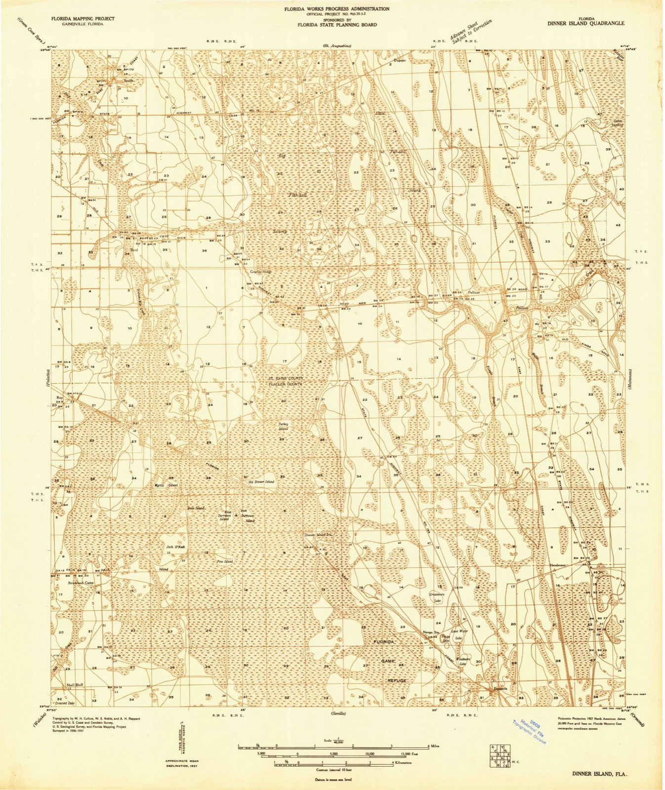
Regional context, not property-specific evidence. The federal wildfire occurrence database lists 190 fires within 5 miles of Dixie Highway-Hastings, Espanola and Bunnell Road between 1992 and 2020, burning about 38,671 acres in total. 123 started naturally. 11 were recorded as arson. Distance is straight-line from the map coordinates, so a fire counted here may appear on a neighbouring settlement's page as well.
| Reported cause | Fires |
|---|---|
| Natural | 123 |
| Missing data/not specified/undetermined | 21 |
| Equipment and vehicle use | 14 |
| Arson/incendiarism | 11 |
| Railroad operations and maintenance | 9 |
| Debris and open burning | 4 |
| Recreation and ceremony | 4 |
| Misuse of fire by a minor | 3 |
| Fireworks | 1 |
The most recent of them, most recent first, with the day each was reported and the service that recorded it.
| Date | Cause | Size | Reported by | Name on the report |
|---|---|---|---|---|
| 9 September 1998 | Railroad operations and maintenance | 3.0 acres | Florida Forest Service | not named |
| 6 September 1999 | Natural | under an acre | Florida Forest Service | not named |
| 6 September 1999 | Natural | 60 acres | Florida Forest Service | not named |
| 7 August 2015 | Natural | 1.0 acres | Florida Forest Service | ROUNDABOUT (18) |
| 5 August 1994 | Natural | under an acre | Florida Forest Service | not named |
| 4 August 2012 | Natural | 16 acres | Florida Forest Service | ROAD 86 (18) |
| 4 August 1993 | Natural | 8.4 acres | Florida Forest Service | not named |
| 31 August 1992 | Natural | 10 acres | Florida Forest Service | not named |
Regional context, not property-specific evidence. The National Weather Service names Espanola, the town this property stands in, in 17 storm reports between 2000 and 2025: 7 thunderstorm wind, 4 hail, 2 flood, 2 tornado. No death or injury is recorded in these reports. Each account below is quoted exactly as the forecast office filed it, from the NOAA Storm Events Database, and each date opens the federal record of that event.
| When | Event | Place named | Harm | What the report says |
|---|---|---|---|---|
| December 2013 | Tornado (EF1) | Espanola | $5,000,000 | During the evening hours, between 655 pm and 710 pm EST on December 14, 2013, a tornado with maximum strength of EF1 on the Enhanced Fujita Scale touched down and crossed the northern sections of Palm Coast in Flagler County Florida. The tornado initially touched down north of Espanola on an intermittend track. The tornado then intensified to its maximum strength of 95 to 110 across the B section (Indian Trails and Pine Lakes neighborhoods) and western F sections of Palm Coast on a continuous path ranging in width from approximately 75 yards to a maximum of around 150 yards on Bannbury Lane. The tornado weakened as it moved northeast toward the coast with a path width of 25 to 50 yards across the eastern F section and Hammock area. ||The location of the initial touchdown was near 29.52 degrees north latitude and 81.31 degrees west longitude. The location of the final damage was near 29.61 degrees north latitude and 81.19 degrees west longitude. The total distance between the initial touchdown and final damage was approximately 9.5 miles with the longest continuous path approximately 1 mile in the B section of Palm Coast. ||Media reported 7 homes were destroyed and more than 150 damaged when the tornado struck Palm Coast. Palm Coast city officials stated that 142 homes were partially damaged in the Indian Trails neighborhood and 22 homes had moderate damage. The damage was estimated at more than $5 million. No injuries were reported. The area was cluttered with downed trees and house debris. The tornado downed power lines, blew out windows, knocked down trees and power poles and ripped away roof shingles. |
| August 2000 | Thunderstorm Wind | Espanola | $2,500 | Large trees and power lines were blown down. |
| April 2009 | Thunderstorm Wind | Espanola | $1,000 | The Emergency Manager received a report of a power line down on Main Street in Espanola. |
| June 2019 | Thunderstorm Wind | Espanola | $500 | Trees were blown down over power lines near Main Street and Otis Stone Hunter Road. The cost of damage was estimated. |
| May 2025 | Heavy Rain | Espanola | - | The Mesonet station GW2497 Bunnell measured 3.54 inches of rainfall beginning at 7:30 PM. |
| September 2023 | Heavy Rain | Espanola | - | A mesonet station in Bunnell measured 2.89 inches in about 1 hour. |
| June 2023 | Hail | Espanola | - | Penny size hail was observed in Espanola. |
| October 2023 | Tornado (EF0) | Espanola | - | A weak, sporadic tornado caused intermittent tree and minor structure damage as it track NE across the east-central part of the county. Tree damage was first reported near the intersection of County Roads 302 and 75 where several pines were snapped. Damage continued along a narrow ENE track which included a flagpole blown down in the R-section of Palm Coast at near the intersection of Rymshaw Drive and Ryman Lane. The last damage report was in Painters Hill where a resident reported a wind sail was shredded and patio furniture lofted and blown away. |
| February 2021 | Flood | Espanola | - | Up to a half of a foot of standing water was reported across County Road 65. |
| April 2021 | Hail | Espanola | - | Nickel to dime size hail was reported on County Road 302. |
| February 2007 | Flood | Espanola | - | County Road 205 between Daytona North and State Road 100 closed for around a mile stretch. Depth of water up to the tops of car tires. |
| May 2007 | Thunderstorm Wind | Espanola | - | Widespread trees and power lines were blown down from strong thunderstorm wind gusts from Espanola to Palm Coast. Trees were blown down in Espanola. Power lines were blown down in Palm Coast including one along Burning Sand Road. Another power line was blown down along Patrick Drive and Milwaukee in Palm Coast and it sparked a fire. Another tree was blown down along Squire Court in Palm Coast. We received a report of estimated thunderstorms gusts to 65 mph at 1328hrs in Palm Coast. We received another report of estimated 60 mph winds at the Bunnell, Flagler County Airport. |
| June 2006 | Thunderstorm Wind | Espanola | - | no account filed |
| April 2005 | Hail | Espanola | - | no account filed |
| April 2005 | Thunderstorm Wind | Espanola | - | no account filed |
| June 2004 | Hail | Espanola | - | no account filed |
| May 2004 | Thunderstorm Wind | Espanola | - | no account filed |
United States Geological Survey topographic sheets whose coverage includes this point. Matched by taking the middle of the area the National Park Service maps for this listing, then testing that coordinate against the published boundary of every sheet.
Other National Register properties close enough to walk or drive between, ordered by distance from this one. Both positions come from the same geocoding pass that matched these properties to their map sheets.
| Photograph | Property | Distance | Listed |
|---|---|---|---|
| Espanola Schoolhouse | 5.9 miles | 2020 |
| National Archives record | The nomination case file for reference 05000311 in Record Group 79. |
| Flagler County | All 11 listed properties in this county. |