Block
BlockFrom the record
One of 50 National Register listings published here for Monroe County · listed in 2006 · category: Site.
Sources: the case file at the National Archives · the National Register database, National Park Service
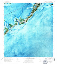
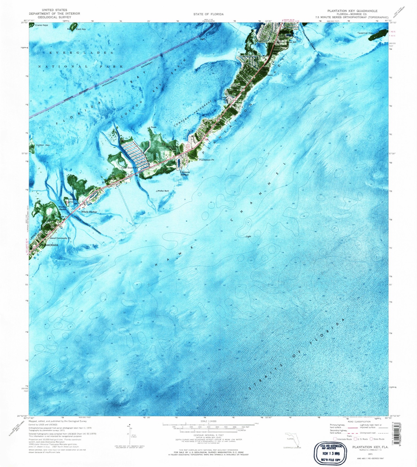
Listed on the National Register of Historic Places in 2006. 3 historic topographic surveys show this location, the earliest from 1971.
One of 50 National Register listings published here for Monroe County · listed in 2006 · category: Site.
Sources: the case file at the National Archives · the National Register database, National Park Service
The ground this property stands on, surveyed 18 years apart. Drag the handle to wipe between them. Both sheets are United States Geological Survey originals; neither has been altered.
Regional context, not property-specific evidence. The National Weather Service names Tavernier, the town this property stands in, in 15 storm reports between 1995 and 2026: 6 waterspout, 3 tornado, 3 thunderstorm wind, 1 lightning. No death or injury is recorded in these reports. Each account below is quoted exactly as the forecast office filed it, from the NOAA Storm Events Database, and each date opens the federal record of that event.
| When | Event | Place named | Harm | What the report says |
|---|---|---|---|---|
| April 1995 | Tornado | Tavernier | $50,000 | A waterspout moved ashore from the ocean-side into Tavernier at mile marker 92.5. Trailers in the Sherill Park Mobile Home subdivision suffered $50 thousand damage and several boats suffered minor damage. |
| October 2007 | Lightning | Tavernier | $20,000 | Lightning struck the cupola of an unoccupied large oceanfront home in Plantation Key. The strike caused a small fire and damaged plumbing within the roof structure of the home. |
| March 2011 | Thunderstorm Wind | Tavernier | $10,000 | Strong thunderstorm winds destroyed a permanent steel-framed canopy at a restaurant. a free-standing wood-framed fruit stand was overturned and splintered. A wood utility-grade sign pole snapped at the base. Power Outages to approximately 200 customers occurred in Tavernier, along with hail up to one half inch (0.50) in diameter. |
| April 2018 | Tornado (EF1) | Tavernier | $4,000 | Summary: A waterspout or funnel cloud was observed backlit by |lightning over Florida Bay shortly before making landfall as a |tornado at Indian Mound Trail of the Indian Waterways subdivision of |Plantation Key, Islamorada. Large gumbo limbo tree limbs were downed |as well as the top of a palm tree, landing 20 yards from streetside |the front steps of a residence. And adjacent residence had a rolling |driveway gate completely dislodged from its mounts, pushed into a |trailered boat and car. The tornado continue to produce mostly |damage to large limbs of hardwood trees, including gumbo limbo and |mahogany, in a path rarely exceeded two residential properties in |width toward the east-northeast. An entire gutter and downspout |system was removed from a residence. Numerous loose items, including |filled trash cans and lawn/patio furniture was moved from the |backyards and understory of homes onto front lawns and streets. Most |of the observed damage in the Indian Waterways community were |consistent with 60 to 70 mph, with possible spot values near 75 mph.||The tornado crossed a patch of mangroves and undeveloped forest, and |reached greatest intensity at San Pedro Catholic Church. There, a |large tree split at the trunk, and an old-growth mahogany was |uprooted, falling toward the east onto a portion of the structure |connecting the rectory with the main church. Fortunately, the upper |portion of the tree did not substantially damage the roof, with no |leaks observed in the downpour that followed. However, several |barrel tiles were removed from the peak ridges forming the hip roof |pattern over the rectory, as well as from the southeast edge of the |church, onto the top of the church's main entrance. Numerous large |limbs were downed toward the east, with lightweight free-standing |signs deposited northward cross the tornado path from right to left.|Estimated wind speeds were maximized in the range of 90 to 100 mph |with maximum width near 60 yards. Good impact reference made to the |observed wind impacts at this location from recent Hurricane Irma, |all having previously been removed or repaired. ||The tornado continued toward the east-northeast, crossing U.S. |Highway 1 and the Old Highway, but weakened such that only large |tree limbs were downed. From this point, the tornado likely moved |out over the oceanside as a waterspout into Hawk Channel, southwest |of the oceanside entrance to Tavernier Creek. |
| April 2018 | Tornado (EF0) | Tavernier | $200 | A second path, likely a continuation as the waterspout made landfall |near Lincoln Avenue on the far southwest portion of Tavernier's |oceanside. Progressive narrowing of the damage path down to nearly |30 yards as well as a turn toward the northwest or north-northwest |was observed. Impacts lessened from near the waterfront, including |damaged fences and large limbs,gradually down to smaller limbs and |twigs was noted. No further impacts were observed northeast of Lowe |Street. It is likely the wind speeds 55 to 65 mph were observed, |weakening to below 50 mph roughly 3 blocks from the waterfront. |
| March 2026 | Hail | Tavernier | - | Video relayed through social media estimated quarter-sized hail in the Blue Waters subdivision in Tavernier. |
| July 2024 | Thunderstorm Wind | Tavernier | - | A remote NWS storm survey in consultation with the Village of Islamorada Emergency Manager and several residents, social media videos and photos, as well as in-situ review of realtime Florida Department of Transportation video revealed a wet microburst occurred in the upper Plantation Key area of the Indian Mounds Trail neighborhood. Estimated wind gusts of 60 to 85 mph occurred over an area about one to one and a half miles wide by two miles long as the microburst began on the oceanside of the Old Overseas Highway. The straight-line winds associated with the microburst crossed U.S. Highway 1 into the Indian Mounds Trail Neighborhood. Numerous large trees and tree tops were downed in an area over 5 blocks long, with secondary damages to several vehicles and a broken window of one residence. Lighter but sizable yard objects including furniture, trash receptacles were tossed one or more lots downwind, with one trampoline lofted into a tree. Several of the neighborhood streets were temporarily impassible due to the size of the tree limbs. Some minor fascia and shingle damage was also noted at a few residences. Approximately 1,100 residents were without power as the tree limbs downed utility lines, with one tree partially blocking northbound U.S. Highway 1. |
| November 2023 | Flood | Tavernier | - | Florida DOT and Monroe County Law Enforcement reported flooding of US-1 near Mile Marker 91 in Tavernier. Northbound lanes were nearly impassible for about one hour. Later rainfall estimates from CoCoRAHS observers reported approximately 7 to 10 inches of rainfall by the following morning. |
| October 2011 | Thunderstorm Wind | Tavernier | - | Several 4-inch diameter tree limbs were downed, resulting in a snapped wood power pole and power outage to over 100 residences. Tree limb damage noted for two or three blocks from the Atlantic shoreline. |
| July 2001 | Waterspout | Tavernier | - | 4 waterspouts reported. |
| October 1999 | Waterspout | Tavernier | - | Waterspout occurred 2 miles north of Tavernier. |
| September 1999 | Waterspout | Tavernier | - | Waterspout just offshore Tavernier |
| August 1999 | Waterspout | Tavernier | - | 2 miles north of Tavernier |
| August 1999 | Waterspout | Tavernier | - | 8 miles southwest of Tavernier |
| August 1997 | Waterspout | Tavernier | - | observed 4nm se of tavernier. |
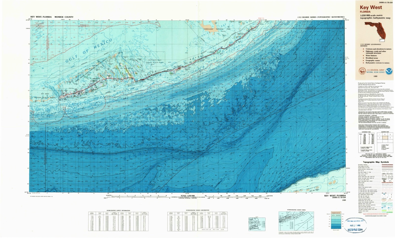
United States Geological Survey topographic sheets whose coverage includes this point. Matched by taking the coordinate the National Park Service records for this property, then testing that coordinate against the published boundary of every sheet.
Other National Register properties close enough to walk or drive between, ordered by distance from this one. Both positions come from the same geocoding pass that matched these properties to their map sheets.
| Photograph | Property | Distance | Listed |
|---|---|---|---|
| Chaves Shipwreck Site | 4.3 miles | 2006 | |
| Tres Puentes Shipwreck Site | 4.8 miles | 2006 | |
| Herrara Shipwreck Site | 5.0 miles | 2006 | |
| Matecumbe Methodist Church Cemetery | 7.5 miles | 2021 | |
| Matecumbe Methodist Church | 7.6 miles | 2020 | |
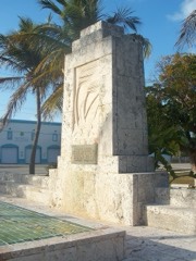 | Florida Keys Memorial | 7.6 miles | 1995 |
| National Archives record | The nomination case file for reference 06000497 in Record Group 79. |
| Monroe County | All 50 listed properties in this county. |