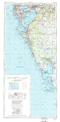
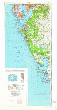
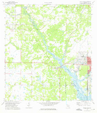
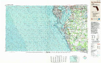
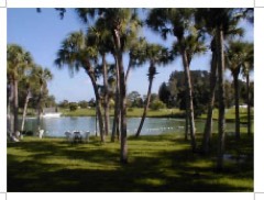
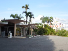
Listed on the National Register of Historic Places in 2019. 9 historic topographic surveys show this location, the earliest from 1944.
From the record
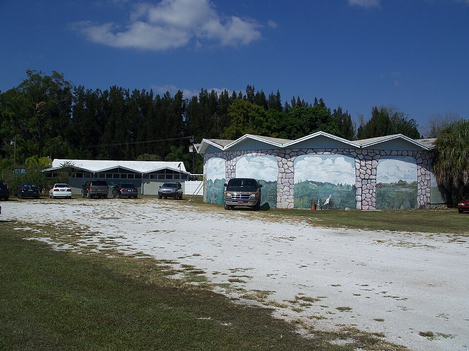
“The Warm Mineral Springs Building Complex consists of three historic buildings built in 1959 in the Warm Mineral Springs park in North Port, Florida. The buildings include a Park Spa Building, a sales building attached to the Spa Building, and a Cyclorama which contained an exhibit depicting Ponce de Leon's alleged discovery of the Fountain of Youth.”
Wikipedia article Warm Mineral Springs Building Complex, CC BY-SA 4.0.
One of 103 National Register listings published here for Sarasota County · listed in 2019 · category: Building.
Also known as. Sarasota School of Architecture MPS
Census division. North Port
National Register reference number. 100004352 - assigned by the National Park Service when the property was listed.
Then and now
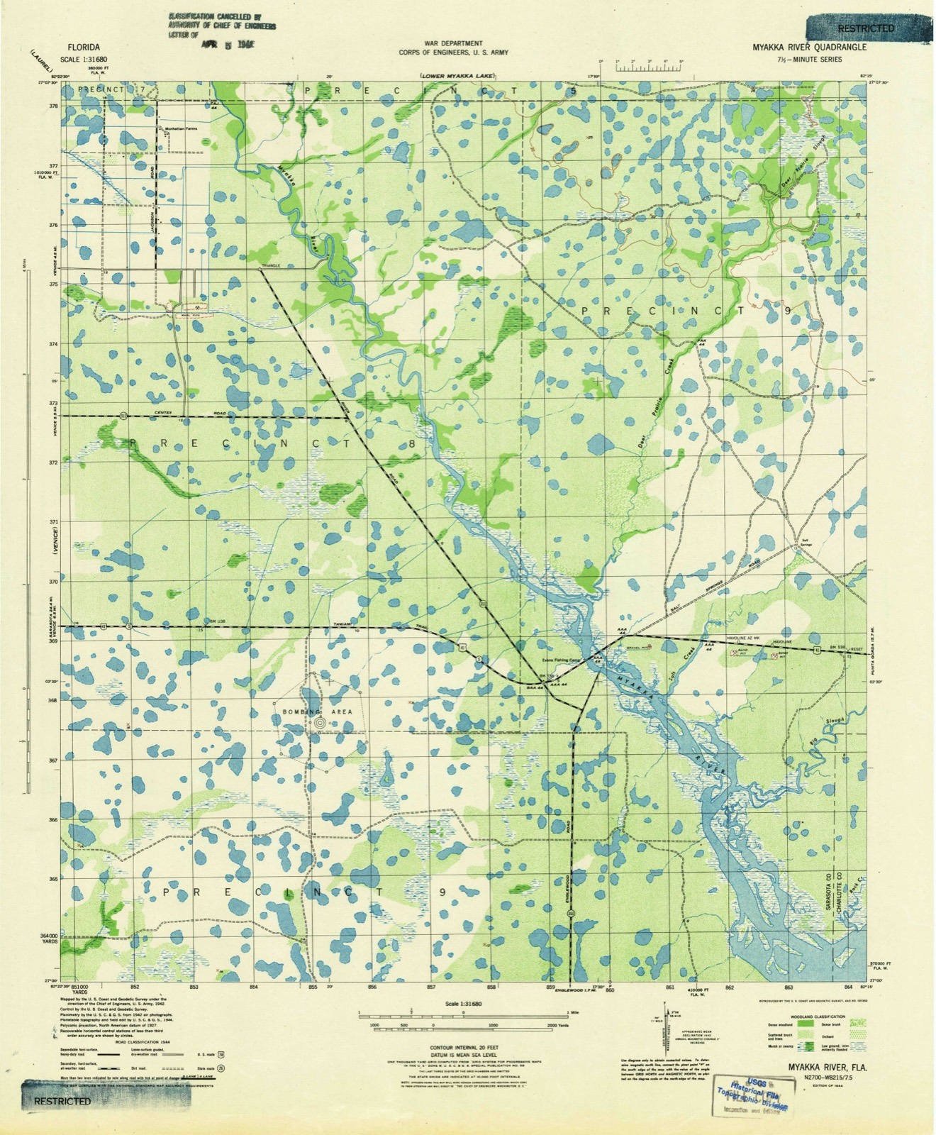
1944 to 1988
The ground this property stands on, surveyed
44 years apart. Drag the handle to wipe between them. Both sheets are
United States Geological Survey originals; neither has been altered.
19441988
Fires near this property
643 since 1992
Regional context, not property-specific
evidence. The
federal wildfire occurrence database
lists 643 fires within 5 miles of Warm Mineral Springs Building Complex
between 1992 and 2020, burning about 8,841 acres in total. 228 started naturally. 50 were recorded as arson.
Distance is straight-line from the map coordinates, so a fire counted
here may appear on a neighbouring settlement's page as well.
Reported cause
Fires
Natural
228
Equipment and vehicle use
122
Missing data/not specified/undetermined
112
Misuse of fire by a minor
69
Arson/incendiarism
50
Railroad operations and maintenance
17
Recreation and ceremony
17
Debris and open burning
13
Fireworks
11
Smoking
3
Power generation/transmission/distribution
1
The most recent of
them, most recent first, with the day each was reported and the service
that recorded it.
Regional context, not property-specific
evidence. The National Weather Service names
North Port, the town this property stands in, in 20 storm reports between 1993 and 2023: 5 tornado, 5 thunderstorm wind, 5 hail, 2 wildfire.
The reports record 1 injury. Each account below is quoted exactly as the forecast office
filed it, from the NOAA Storm Events Database, and each date
opens the federal record of that event.
Wildfires destroyed a fire truck, consumed a home, damaged an out building and burned over 300 acres of brush and scrub trees along U.S. Highway 41 and the Myakka River Bridge west of North Port.
A short lived tornado, that originated in Charlotte county and was associated with an outer rainband of Hurricane Gordon, briefly touched down, snapped a few trees, downed power lines and damaged a few carports, east of the intersection of Interstate 75 and Toledo Blade Boulevard. The tornado continued to sporadically touch down along a narrow path as it moved rapidly north across Interstate 75 over rural southeast Sarasota county before it lifted and dissipated.
Four houses received minor damage from a brief tornado touchdown. Roofs were damaged, windows broken, screening damaged, a truck toper damaged, and trees were mangled or uprooted.
Thunderstorm winds damaged the roofs of three mobile homes at the Holiday Mobile Home Park. Thirty large trees were also downed by the thunderstorm winds along Cheryl Lane and Euclid Avenues in North Port.
Florida Power & Light utility and the public reported that a few large trees, limbs and power lines were downed in North Port over extreme southern Sarasota county.
A short lived tornado touched down along Kaayan Street between Price and Norlendale Boulevards and downed several power lines, snapped tree tops and blew down stop signs before it lifted and dissipated.
A brief tornado touchdown was viewed by the public near the intersections of Price Blvd. and Raintree Blvd. Law enforcement found debris in the road from downed trees and road signs.
Thunderstorm wind toppled two large trees on top of a house which caused major damage to the roof of the home. A second home received minor to moderate roof damage from large branches downed by thunderstorm winds.
EM, media, and public all relayed pictures and video of lanai damage and additional picture of a large tree downed near the lanai. Radar indicates brief rotation and videos support a tornado designation. Estimated ef-0 strength with winds of 85 mph.
Emergency management damage survey found approximately 13 homes with minor roof and fence damage and one home with about a third of the roof torn off. Additionally, a large oak tree with no root ball was downed. Damage occurred in an east to west path from around Oxwood Street to North Port Boulevard.
Brush fires sparked by lightning near Warm Mineral Springs burned about 500 acres south of Interstate 75. At one time, the fire came within a quarter mile of the interstate, threatening to close it.
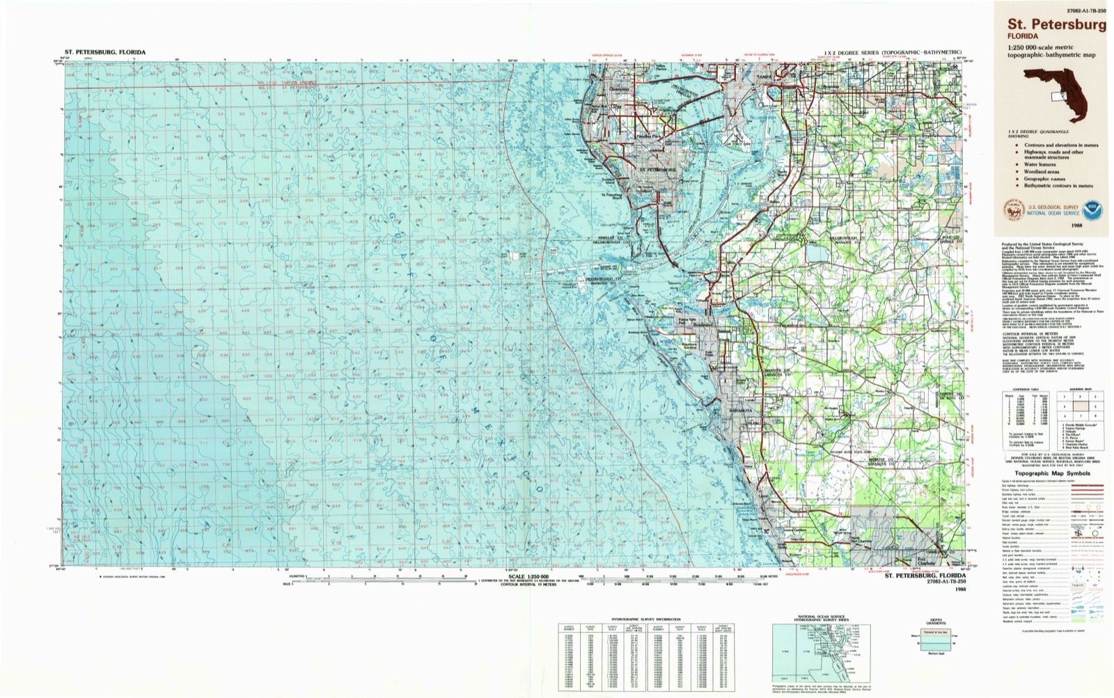
United States Geological Survey topographic
sheets whose coverage includes this point. Matched by taking the coordinate the National Park Service records for this property, then
testing that coordinate against the published boundary of every sheet.
Other National Register properties close
enough to walk or drive between, ordered by distance from this one. Both
positions come from the same geocoding pass that matched these properties
to their map sheets.
Listing record. National Park Service National Register of Historic Places, listed-properties dataset, current to 2026-05-22.
Map join. Address geocoded through the United States Census geocoder, then tested against the published boundary of every sheet in the USGS Historical Topographic Map Collection.
How this page is made. Listing fields come from federal records; map-sheet coverage is a labelled coordinate-to-boundary calculation, not a source-field claim.
Wildfire. Short, Karen C. 2022. Spatial wildfire occurrence data for the United States, 1992-2020 [FPA_FOD_20221014]. 6th Edition. Fort Collins, CO: Forest Service Research Data Archive. https://doi.org/10.2737/RDS-2013-0009.6 Collected with United States Government funding and usable without additional permissions or fees.
Storms. NOAA National Centers for Environmental Information, Storm Events Database https://www.ncei.noaa.gov/stormevents/ A work of the United States government, no copyright under 17 U.S.C. 105. Narratives are quoted verbatim from the National Weather Service report and are not edited or summarised.
 Block
Block