Block
BlockFrom the record
One of 12 National Register listings published here for Jackson County · listed in 2019 · category: Structure.
Sources: the National Register database, National Park Service
Listed on the National Register of Historic Places in 2019. 8 historic topographic surveys show this location, the earliest from 1952.
One of 12 National Register listings published here for Jackson County · listed in 2019 · category: Structure.
Sources: the National Register database, National Park Service
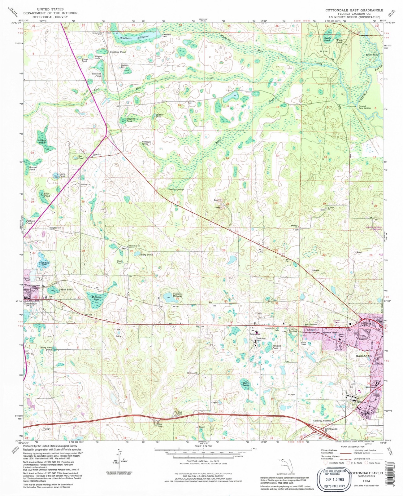
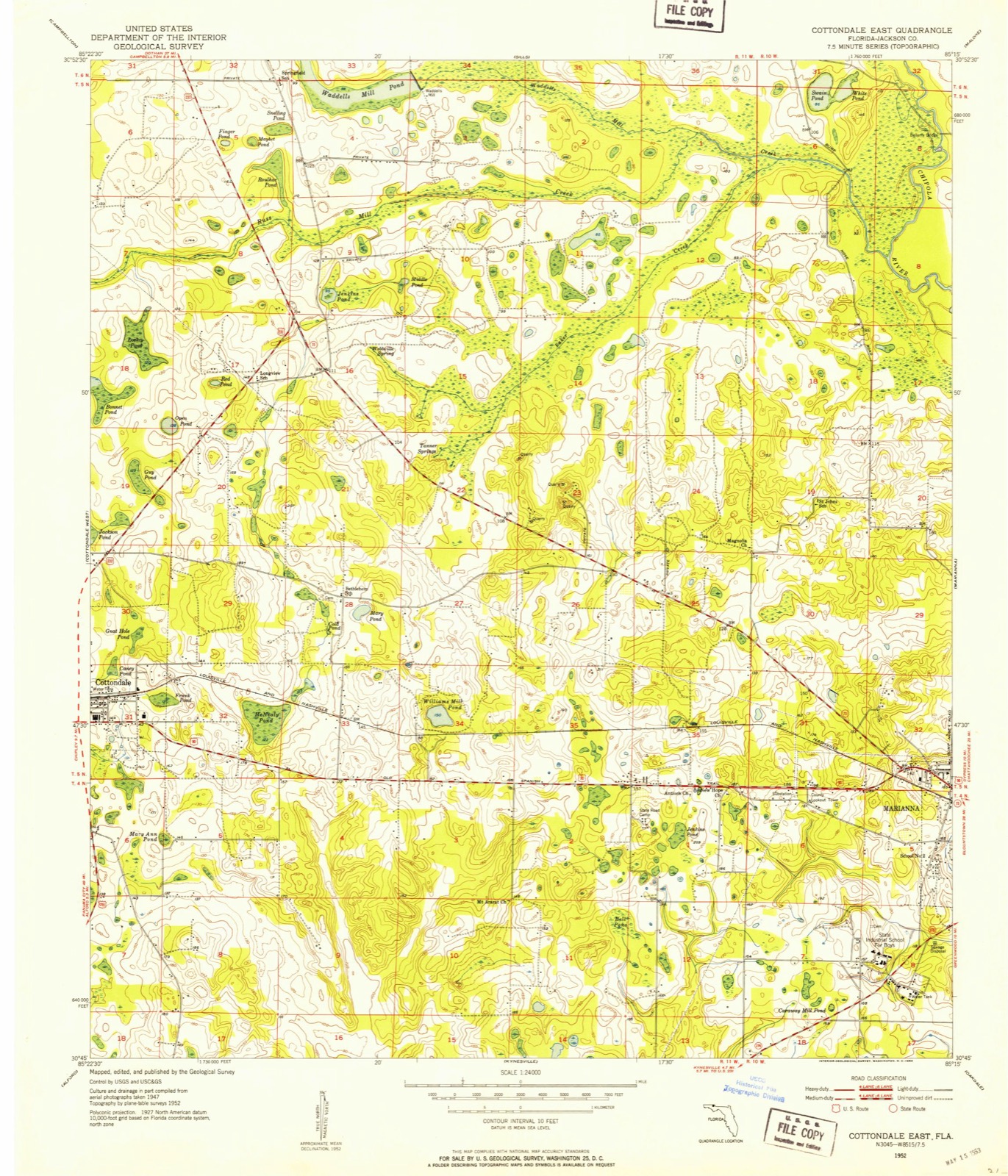
The ground this property stands on, surveyed 42 years apart. Drag the handle to wipe between them. Both sheets are United States Geological Survey originals; neither has been altered.
Regional context, not property-specific evidence. The federal wildfire occurrence database lists 70 fires within 5 miles of Bellamy Bridge between 1992 and 2019, burning about 620 acres in total. 5 started naturally. 4 were recorded as arson. Distance is straight-line from the map coordinates, so a fire counted here may appear on a neighbouring settlement's page as well.
| Reported cause | Fires |
|---|---|
| Debris and open burning | 26 |
| Missing data/not specified/undetermined | 10 |
| Railroad operations and maintenance | 10 |
| Smoking | 6 |
| Equipment and vehicle use | 6 |
| Natural | 5 |
| Arson/incendiarism | 4 |
| Recreation and ceremony | 2 |
| Power generation/transmission/distribution | 1 |
The most recent of them, most recent first, with the day each was reported and the service that recorded it.
| Date | Cause | Size | Reported by | Name on the report |
|---|---|---|---|---|
| 30 September 2019 | Missing data/not specified/undetermined | 2.0 acres | Florida Forest Service | WOOD BRIER (32) |
| 12 September 2019 | Equipment and vehicle use | under an acre | Florida Forest Service | PLANTATION CIRCLE (32) |
| 1 September 1995 | Railroad operations and maintenance | under an acre | Florida Forest Service | not named |
| 29 August 2014 | Power generation/transmission/distribution | under an acre | Florida Forest Service | OLD US ROAD (32) |
| 24 August 2019 | Debris and open burning | under an acre | Florida Forest Service | FORT ROAD (32) |
| 6 July 2016 | Natural | 1.0 acres | Florida Forest Service | BERKSHIRE RD (32) |
| 5 July 2019 | Missing data/not specified/undetermined | under an acre | Florida Forest Service | PLAINVIEW (32) |
| 14 July 2006 | Missing data/not specified/undetermined | under an acre | Florida Forest Service | 32/HOWARD2006-02-0813 |
Regional context, not property-specific evidence. The federal mineral resources record lists 9 workings within 5 miles of Bellamy Bridge: 3 past producers, 3 prospects, 2 producers, 1 unknown. 2 still produce. What was taken out: Stone, Crushed/Broken, Limestone, General, Sand. Distance is straight-line from the map coordinates, so a quarry counted here may appear on a neighbouring settlement's page as well.
| Where | Site | Commodity | Status | Recorded |
|---|---|---|---|---|
| Jackson Co. Bd of Co. Comm. - Holy Neck Mine | Sand | Unknown | ||
| Marianna Lime Products - Lime Prod.'s Pit | Limestone, General | Producer | Limestone | |
| Marianna Ls Products Quarry | Stone, Crushed/Broken | Past Producer | ||
| Marianna Quarry | Stone, Crushed/Broken | Producer | ||
| Marjax Limestone Quarry | Stone, Crushed/Broken | Past Producer | ||
| Sam Smith Mine | Stone, Crushed/Broken | Past Producer | ||
| Unnamed Ls Prospect | Stone, Crushed/Broken | Prospect | ||
| Unnamed Ls Prospect | Stone, Crushed/Broken | Prospect | ||
| Unnamed Ls Prospect | Stone, Crushed/Broken | Prospect |
Regional context, not property-specific evidence. The National Weather Service names Marianna, the town this property stands in, in 84 storm reports between 1994 and 2026: 55 thunderstorm wind, 13 hail, 9 flash flood, 2 tornado. The reports record 3 injuries. Each account below is quoted exactly as the forecast office filed it, from the NOAA Storm Events Database, and each date opens the federal record of that event.
| When | Event | Place named | Harm | What the report says |
|---|---|---|---|---|
| September 2004 | Tornado (F2) | Marianna | 3 hurt, $3,000,000 | A strong F2 tornado touched down about four miles west of Cypress. It damaged 10 mobile homes and destroyed 25 others in the Gold Drive Trailer Park. Three occupants were injured. The tornado moved northwest and damaged 10 mobile homes in the Brogdon Lane Trailer Park on U.S. Highway 90 just east of Marianna. It caused significant damage to the Federal Correctional Institution and destroyed eight vehicles. Before lifting, the tornado destroyed the Sykes Enterprise facility and some vehicles near the Marianna Municipal Airport. Reported by the Jackson County EMA. |
| March 2009 | Thunderstorm Wind | Marianna | $500,000 | Numerous trees and power lines were down across the center of the city. Several homes, apartments and vehicles were damaged by fallen trees. Power outages affected much of the city. A large section of roof from a warehouse at the intersection of Franklin and Jefferson Street was peeled off. |
| May 1999 | Thunderstorm Wind | Marianna | $300,000 | Jackson County EMA reported numerous trees and power lines down with scattered outages. Some residences suffered roof damage. Highway 90 was closed for several hours due to fallen trees and high water. |
| February 2000 | Thunderstorm Wind | Marianna | $125,000 | Scattered trees and power lines down. Minor structural damage to some homes. Reported by the Jackson County EMA. |
| October 1997 | Tornado (F0) | Marianna | $75,000 | F0 tornado inflicted structural damage to Woolworths department store on US Highway 90 in Marianna. Numerous 12" diameter trees snapped. |
| June 2001 | Thunderstorm Wind | Marianna | $50,000 | A mobile home was destroyed. Reported by the Jackson County EMA. |
| February 2016 | Thunderstorm Wind | Marianna | $30,000 | A roof was blown off a house with numerous trees and power lines down across Marianna. Damage was estimated. |
| April 2011 | Thunderstorm Wind | Marianna | $30,000 | Trees and power lines were blown down across the county. A billboard was also blown down. The monetary damage figure provided is a rough estimate. |
| March 1997 | Thunderstorm Wind | Marianna | $30,000 | no account filed |
| August 2024 | Thunderstorm Wind | Marianna | $25,000 | A strapped down mobile home was shifted off its blocks between Marianna and Cypress. |
| November 2015 | Thunderstorm Wind | Marianna | $10,000 | A large tree was blown down onto an unoccupied house on Kelson Ave. A photo was available via the Jackson County Floridan newspaper. Damage was estimated. |
| July 2012 | Thunderstorm Wind | Marianna | $7,000 | Roof and awning damage occurred to two businesses at Highway 90 and Hall Street. A 40-50 ft tree was also blown down near the Waffle House. Monetary damage was estimated. |
| January 2024 | Thunderstorm Wind | Marianna | $5,000 | Several power poles were blown down. |
| June 2023 | Thunderstorm Wind | Marianna | $5,000 | Numerous trees and power lines were blown down across Jackson county. |
| January 1997 | Thunderstorm Wind | Marianna | $5,000 | no account filed |
| May 2024 | Thunderstorm Wind | Marianna | $4,000 | Scattered trees down and power outages were reported. |
| January 2024 | Lightning | Marianna | $3,000 | Approximately 200 customers lost power in the Marianna area due to a lightning strike. |
| May 2019 | Thunderstorm Wind | Marianna | $3,000 | Several trees and power lines were blown down east of Marianna near Blue Spring. |
| July 2015 | Thunderstorm Wind | Marianna | $3,000 | Several trees and power lines were blown down around Marianna. |
| June 2012 | Thunderstorm Wind | Marianna | $3,000 | Trees and power lines were blown down across Marianna. Monetary damage was estimated. |
| June 2012 | Thunderstorm Wind | Marianna | $3,000 | A few trees and power lines were blown down. Monetary damage was estimated. |
| March 2007 | Thunderstorm Wind | Marianna | $3,000 | The public reported numerous downed trees and power lines. |
| April 2019 | Thunderstorm Wind | Marianna | $2,000 | A power line was blown down near Walmart on Highway 71 with a traffic light off. |
| March 2012 | Flash Flood | Marianna | $2,000 | Water overflowed ditches and entered a home near Marianna due to excessive rainfall of several inches in a short period of time. Monetary damage was estimated. |
| June 2004 | Thunderstorm Wind | Marianna | $2,000 | Downed trees on power lines reported by the Jackson County EMA. |
| January 1999 | Thunderstorm Wind | Marianna | $2,000 | Trees and power lines down on FL Highway 2. |
| July 2015 | Thunderstorm Wind | Marianna | $1,000 | A tree limb was blown down onto a power line along Highway 73 just south of Marianna. |
| November 2014 | Thunderstorm Wind | Marianna | $1,000 | Minor damage to a building occurred in Marianna due to strong winds. |
| May 2014 | Thunderstorm Wind | Marianna | $1,000 | A couple of trees were blown down near Marianna. |
| July 2013 | Thunderstorm Wind | Marianna | $1,000 | A tree was blown down on New Hope Rd near I-10. |
| July 2012 | Thunderstorm Wind | Marianna | $1,000 | A tree was blown down near the intersection of Merritts Mill Road and Flynt Drive. Monetary damage was estimated. |
| March 2009 | Thunderstorm Wind | Marianna | $1,000 | Trees were blown down and a fence was damaged. |
| April 2004 | Thunderstorm Wind | Marianna | $1,000 | Several downed trees reported by the Jackson County Sheriff. |
| July 2002 | Thunderstorm Wind | Marianna | $1,000 | Several downed trees on Neals Landing Road. Reported by the Jackson County EMA. |
| July 2000 | Thunderstorm Wind | Marianna | $1,000 | Several trees down on State Road 73 north of Valley Oaks Drive. Reported by the Jackson County Sheriff. |
| June 2007 | Thunderstorm Wind | Marianna | $500 | Several trees were down at the intersection of State Road 73 and U.S. Highway 231. |
| August 1995 | Thunderstorm Wind | Marianna | $500 | Sheriff's department reported several trees down. |
| July 2000 | Thunderstorm Wind | Marianna | $250 | A few large trees and large limbs down in a residential area. Reported by WTYS Radio. |
| March 2026 | Thunderstorm Wind | Marianna | - | Numerous trees were down across Jackson county. |
| June 2025 | Hail | Marianna | - | Hail of at least 1.25 inches in diameter fell on I-10 at Exit 136. |
| August 2024 | Thunderstorm Wind | Marianna | - | A tree was blown down on Old Cottondale Road with a picture posted on social media. |
| May 2023 | Thunderstorm Wind | Marianna | - | Multiple downed trees were reported at the intersection of Mineral Road and Woodberry Road. |
| April 2023 | Thunderstorm Wind | Marianna | - | Numerous trees were blown down across the area. |
| August 2023 | Thunderstorm Wind | Marianna | - | A tree was blown down in the Marianna area. |
| June 2023 | Thunderstorm Wind | Marianna | - | Trees were blown down in the Marianna area. |
| May 2022 | Thunderstorm Wind | Marianna | - | A tree was blown down near Highway 90. |
| March 2022 | Flash Flood | Marianna | - | Valley View Road off Highway 73 was flooded. |
| July 2022 | Flash Flood | Marianna | - | Highway 90 at Turner Road was impassible due to flooding. |
| June 2022 | Thunderstorm Wind | Marianna | - | A tree was blown down near Union Mill Road and Carter Road. |
| April 2021 | Flash Flood | Marianna | - | There were multiple roads flooded in the Marianna area. |
| August 2020 | Thunderstorm Wind | Marianna | - | A tree was blown down. |
| September 2020 | Flash Flood | Marianna | - | Highway 90 near Marianna was reported underwater. |
| April 2020 | Thunderstorm Wind | Marianna | - | Several trees were blown down. |
| August 2019 | Thunderstorm Wind | Marianna | - | A few trees were blown down near Marianna. |
| September 2018 | Thunderstorm Wind | Marianna | - | A tree was uprooted in a citizen's yard in the Marianna area. |
| June 2018 | Thunderstorm Wind | Marianna | - | Several trees were blown down. |
| June 2018 | Thunderstorm Wind | Marianna | - | A tree was blown down near Thompson Road. |
| December 2018 | Flash Flood | Marianna | - | The public reported via social media that Caledonia Street in Marianna was flooded with debris from Hurricane Michael floating. |
| January 2017 | Thunderstorm Wind | Marianna | - | Several trees were blown down. |
| February 2017 | Thunderstorm Wind | Marianna | - | A tree was blown down near Caverns Road and Bales Drive. |
United States Geological Survey topographic sheets whose coverage includes this point. Matched by taking the coordinate the National Park Service records for this property, then testing that coordinate against the published boundary of every sheet.
Other National Register properties close enough to walk or drive between, ordered by distance from this one. Both positions come from the same geocoding pass that matched these properties to their map sheets.
| Photograph | Property | Distance | Listed |
|---|---|---|---|
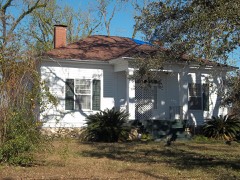 | Longwood House | 5.0 miles | 2017 |
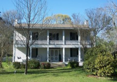 | Erwin House | 5.1 miles | 1974 |
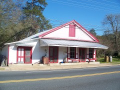 | Pender's Store | 5.3 miles | 1974 |
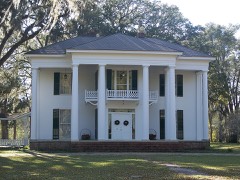 | Great Oaks | 5.3 miles | 1972 |
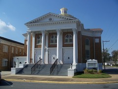 | Marianna Historic District | 6.2 miles | 1997 |
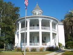 | Joseph W. Russ Jr. House | 6.2 miles | 1983 |
| National Archives record | The nomination case file for reference 100004517 in Record Group 79. |
| Jackson County | All 12 listed properties in this county. |