Block
BlockFrom the record
One of 10 National Register listings published here for Hernando County · listed in 2020 · category: District · built in 2008.
Sources: the National Register database, National Park Service · the Wikipedia article
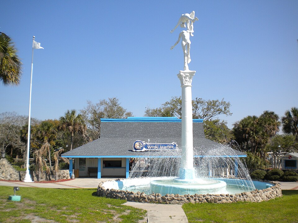
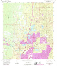
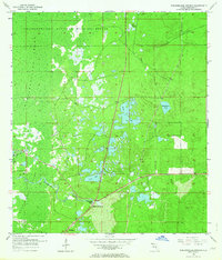
Built in 2008. Listed on the National Register of Historic Places in 2020. 8 historic topographic surveys show this location, the earliest from 1954.
One of 10 National Register listings published here for Hernando County · listed in 2020 · category: District · built in 2008.
Sources: the National Register database, National Park Service · the Wikipedia article
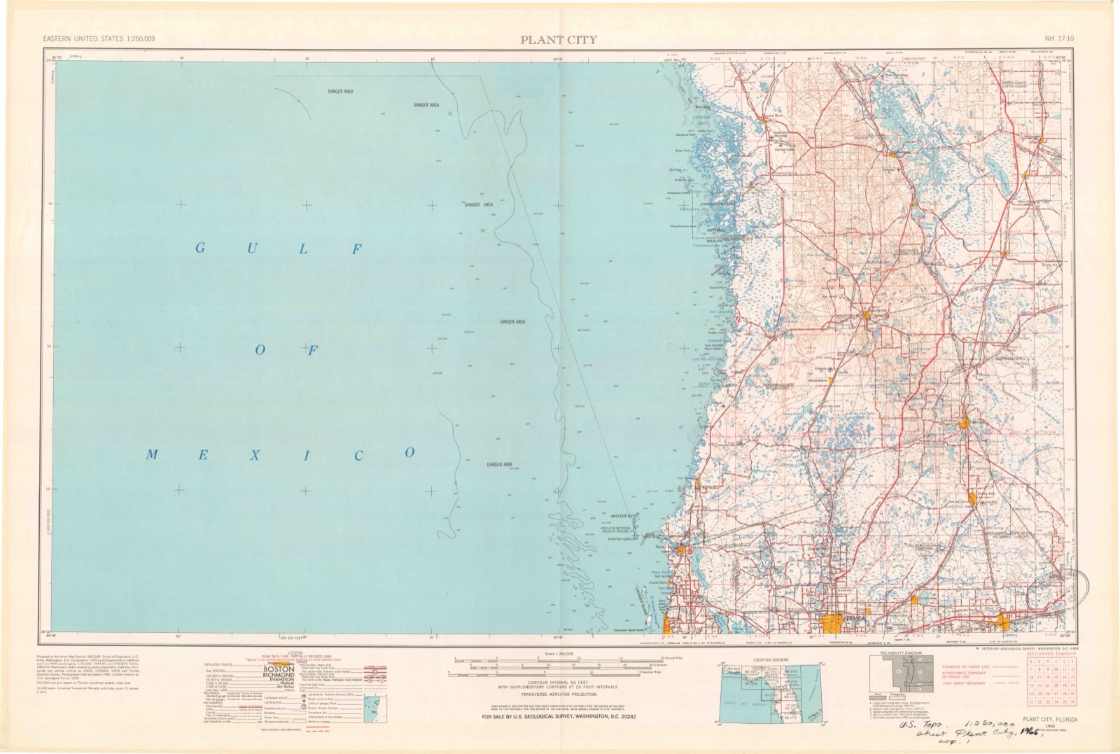
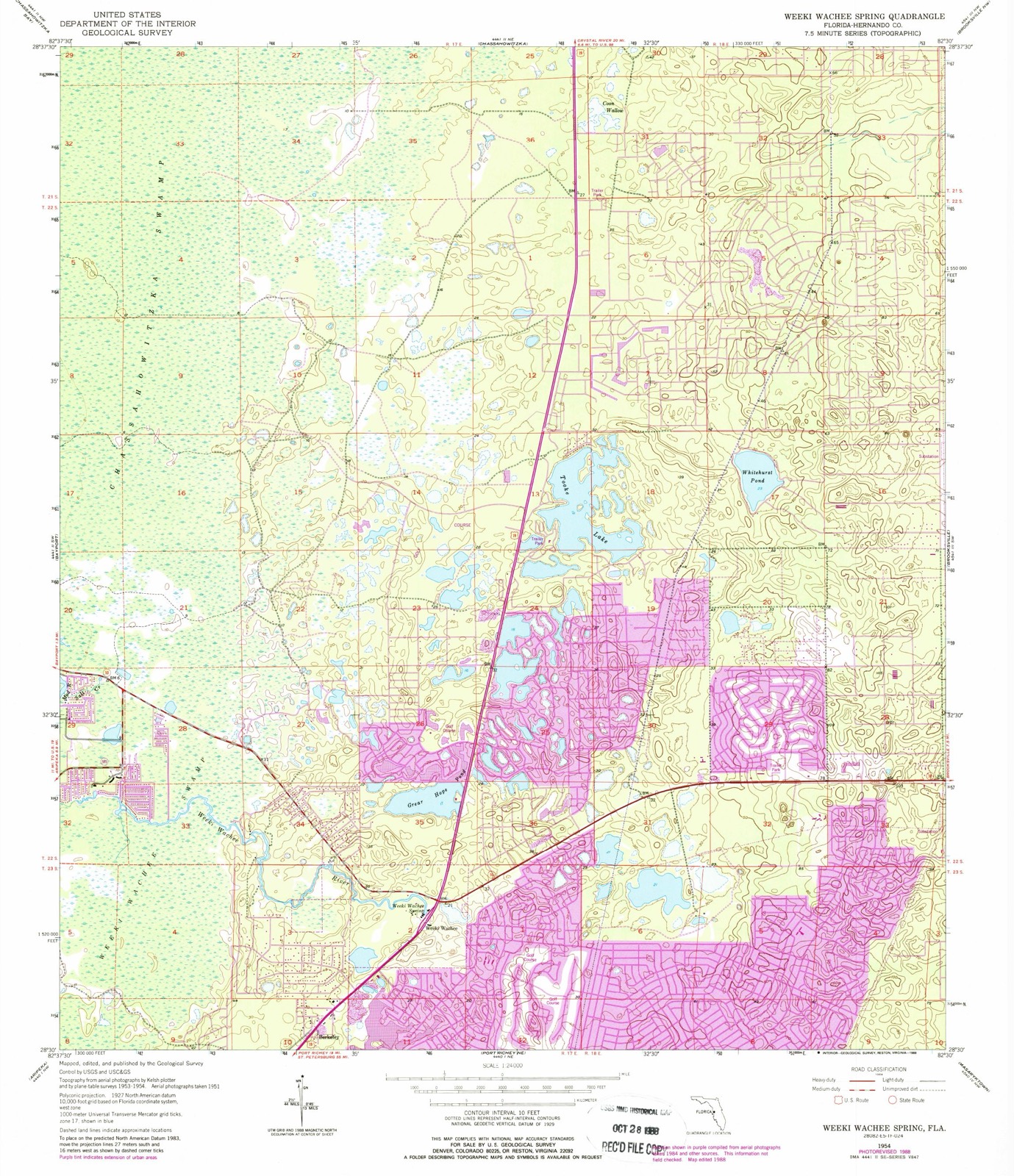
The ground this property stands on, surveyed 1 year apart. Drag the handle to wipe between them. Both sheets are United States Geological Survey originals; neither has been altered.
Regional context, not property-specific evidence. The federal wildfire occurrence database lists 296 fires within 5 miles of Weeki Wachee Springs between 1992 and 2020, burning about 6,840 acres in total. 50 started naturally. 55 were recorded as arson. Distance is straight-line from the map coordinates, so a fire counted here may appear on a neighbouring settlement's page as well.
| Reported cause | Fires |
|---|---|
| Arson/incendiarism | 55 |
| Equipment and vehicle use | 55 |
| Natural | 50 |
| Misuse of fire by a minor | 44 |
| Railroad operations and maintenance | 27 |
| Missing data/not specified/undetermined | 27 |
| Debris and open burning | 21 |
| Power generation/transmission/distribution | 6 |
| Recreation and ceremony | 6 |
| Smoking | 3 |
| Fireworks | 1 |
| Other causes | 1 |
The most recent of them, most recent first, with the day each was reported and the service that recorded it.
| Date | Cause | Size | Reported by | Name on the report |
|---|---|---|---|---|
| 9 September 1996 | Natural | under an acre | Florida Forest Service | not named |
| 7 September 2001 | Missing data/not specified/undetermined | 30 acres | Florida Forest Service | not named |
| 5 September 2020 | Arson/incendiarism | 1.0 acres | Florida Forest Service | POND (27) |
| 5 September 2006 | Natural | under an acre | Florida Forest Service | 27-GOLD STAR-0954 |
| 4 September 2001 | Natural | 80 acres | Florida Forest Service | not named |
| 24 September 1992 | Natural | 2.0 acres | Florida Forest Service | not named |
| 22 September 1992 | Natural | 2.0 acres | Florida Forest Service | not named |
| 21 September 2011 | Natural | 20 acres | Florida Forest Service | BUSH MILLS (27) |
Regional context, not property-specific evidence. The National Weather Service names Spring Hill, the town this property stands in, in 52 storm reports between 1993 and 2019: 26 thunderstorm wind, 8 tornado, 5 flood, 4 lightning. The reports record 3 injuries. Each account below is quoted exactly as the forecast office filed it, from the NOAA Storm Events Database, and each date opens the federal record of that event.
| When | Event | Place named | Harm | What the report says |
|---|---|---|---|---|
| April 1997 | Tornado (F0) | Spring Hill | 1 hurt, $150,000 | A tornado touched down and damaged at least twelve mobile homes and a church in Spring Hill. The most significant damage occurred on Blackhawk Drive where several mobile homes were damaged and a car was smashed by a fallen tree. The tornado downed numerous trees, power lines, broke windows and downed signs from U.S. Highway 19 east across the city of Spring Hill before it lifted. One person, standing outside near the damaged church, suffered facial and leg injuries from wind blown glass. |
| June 1997 | Lightning | Spring Hill | 1 hurt, $10,000 | Lightning struck the roof of a house on Hathaway Street in Spring Hill which surged through the home's electrical system. Damage occurred to the electrical wiring system throughout the house. A woman was slightly injured when a spark from the electrical surge struck her thumb. |
| July 2004 | Lightning | Spring Hill | 1 hurt | A construction worker was struck by lightning and was thrown 10 feet while working at a new elementary school on Elgin Boulevard. The man was outside taking tools to a metal storage shed when he was struck. The lightning struck the man's head and exited his right foot. The man went into cardiac arrest and was listed in critical condition at a local hospital. |
| February 1998 | Thunderstorm Wind | Spring Hill | $100,000 | Thunderstorm winds damaged two metal commercial buildings on the 17000 block of Spring Hill Drive in Spring Hill. |
| January 1999 | Tornado (F0) | Spring Hill | $75,000 | A short-lived tornado touched down near the intersection of County Road 585 and Highgrove Road, nine miles east northeast of Spring Hill, over rural, semi-wooded countryside of western Hernando county. The tornado sporadically touched down along a half mile path length and caused moderate to severe roof damage to a couple of homes on Nodoc Road. The tornado uprooted or snapped less than a dozen trees along its path length before it lifted and dissipated near Cartwright and Switchback Roads. |
| March 2001 | Thunderstorm Wind | Spring Hill | $60,000 | Ham radio operators reported that thunderstorm winds removed residential home roofing tiles, toppled sheds, damaged a commercial signs, downed a few trees and numerous large branches along and east of the U.S. Highway 19 corridor in Spring Hill. |
| August 2000 | Thunderstorm Wind | Spring Hill | $50,000 | The Hernando County Sheriffs Department reported that thunderstorm winds downed several trees, large branches and powerlines from Spring Hill to Brooksville. |
| July 1994 | Thunderstorm Wind | Spring Hill | $50,000 | Thunderstorm downburst took down many trees and power lines damaging four or five homes and one vehicle southeast of Spring Hill |
| April 1997 | Thunderstorm Wind | Spring Hill | $25,000 | Thunderstorm winds downed billboards, sheds and several power lines east of U.S. Highway 19. |
| February 1998 | Flood | Spring Hill | $20,000 | no account filed |
| August 1996 | Thunderstorm Wind | Spring Hill | $20,000 | no account filed |
| June 2004 | Thunderstorm Wind | Spring Hill | $15,000 | The wind gusts downed trees on several vehicles and one home. |
| June 2004 | Thunderstorm Wind | Spring Hill | $15,000 | Severe thunderstorm wind gusts downed trees on one home and several cars. |
| February 2006 | Thunderstorm Wind | Spring Hill | $10,000 | Thunderstorm wind gusts damaged part of a roof at a Yacht Club on Hernando Beach. |
| June 2001 | Thunderstorm Wind | Spring Hill | $10,000 | Spring Hill Fire & Rescue reported that thunderstorm winds caused minor roof damage to five homes on Rialto Avenue of the Brooke Ridge subdivision. |
| July 2000 | Lightning | Spring Hill | $10,000 | Lightning struck a pine tree on wooded lot near the 1500 block of Alameda Drive. The bolt traveled down the tree, into the ground and struck a Florida Water Services water main, which caused it to erupt and send thousands of gallons of water rushing west on Alameda street. |
| May 1999 | Tornado (F0) | Spring Hill | $10,000 | A short lived tornado, observed by a reserve sheriff deputy officer, touched down and uprooted several large trees at the Spring Hill Country Club. |
| August 1999 | Thunderstorm Wind | Spring Hill | $10,000 | The Spring Hill Fire and Rescue personnel reported that thunderstorm winds downed several large trees and limbs near Altoona Avenue between Cooper Road and Coronado six miles east of Spring Hill. |
| July 1999 | Thunderstorm Wind | Spring Hill | $10,000 | Thunderstorm winds downed one large tree which fell atop and severely damaged a van. Reported by WFTS-TV of Tampa. |
| January 1998 | Flood | Spring Hill | $10,000 | Heavy rains of three to four inches in less than four hours caused localized flooding of roads and low lying areas of western Hernando county along State Road 50. |
| July 1998 | Flood | Spring Hill | $10,000 | no account filed |
| August 1996 | Lightning | Spring Hill | $8,000 | no account filed |
| March 2001 | Thunderstorm Wind | Spring Hill | $5,000 | Hernando county emergency management reported that thunderstorm winds downed a few large trees and several large limbs mainly along Laredo Avenue in Spring Hill. |
| January 1998 | Flood | Spring Hill | $5,000 | Heavy rain of two to three inches in less than five hours caused minor localized flooding of roads and low lying areas. |
| May 1998 | Thunderstorm Wind | Spring Hill | $5,000 | Thunderstorm winds downed several large branches in Spring Hill. A few of the large downed limbs broke windows of adjacent homes in Spring Hill. |
| July 1994 | Thunderstorm Wind | Spring Hill | $5,000 | A large sign and several trees damaged. |
| August 1994 | Tornado (F0) | Spring Hill | $5,000 | A brief tornado removed the roof from a house northeast of Brooksville. |
| September 1993 | Tornado (F0) | Spring Hill | $5,000 | A small tornado touched down in Spring Hill downing numerous trees and peeling shingles off roofs. Two cars were damaged by falling trees. |
| May 2002 | Thunderstorm Wind | Spring Hill | $5,000 | no account filed |
| June 1996 | Heavy Rain | Spring Hill | $5,000 | no account filed |
| August 1996 | Thunderstorm Wind | Spring Hill | $5,000 | no account filed |
| May 2002 | Thunderstorm Wind | Spring Hill | $3,000 | no account filed |
| April 2000 | Wildfire | Spring Hill | $2,000 | Wildfires caused minor siding damage to a home and consumed over 20 acres of brush and scrub trees in Hernando Beach. |
| June 2019 | Thunderstorm Wind | Spring Hill | $1,000 | Broadcast media relayed a picture of a tree uprooted in Spring Hill. Time was estimated from radar. |
| April 2010 | Thunderstorm Wind | Spring Hill | - | Two trees were downed in Spring Hill. |
| February 2008 | Thunderstorm Wind | Spring Hill | - | Law Enforcement reported an 80 foot tall tree fell on a house, causing the house to be condemned. |
| June 2008 | Hail | Spring Hill | - | Nickel size hail was reported in Spring Hill. |
| June 2004 | Thunderstorm Wind | Spring Hill | - | Several trees and power lines down at Linden Drive and Fish Cove. |
| June 2003 | Thunderstorm Wind | Spring Hill | - | A National Weather Service storm survey found three 50 foot pines snapped off at the 20 foot level and hundreds of limbs down. |
| July 2003 | Thunderstorm Wind | Spring Hill | - | Thunderstorm winds downed trees which took down power lines on Mariner Blvd. and the intersection of Sunshine Grove and State Highway 50. Elsewhere in the county, the Brooksville airport recorded 46 knot winds at 254 PM EDT. |
| June 2001 | Hail | Spring Hill | - | The public reported nickel sized hail along U.S. Highway 19, two miles south of State Road 50 in Spring Hill. |
| June 2001 | Waterspout | Spring Hill | - | A Skywarn Spotter reported a waterspout near Amber Jack Drive off Hernando Beach. |
| July 2000 | Tornado (F0) | Spring Hill | - | A Skywarn Spotter reported that tornado sporadically touched down near the intersection of County Road 576 (Hayman Road) and County Road 581 (Culbreath) in rural southern Hernando county. |
| August 1999 | Hail | Spring Hill | - | The public reported dime sized hail in Spring Hill through Bay News Nine Cable. |
| February 1998 | Hail | Spring Hill | - | Dime sized hail was reported near Cortez Boulevard in Spring Hill. |
| April 1997 | Tornado (F0) | Spring Hill | - | The second of a family of six waterspouts moved onshore and briefly touched down as tornado without damage before it dissipated. |
| April 1997 | Waterspout | Spring Hill | - | Five to six waterspouts formed offshore of Hernando Beach. Two of the waterspouts moved onshore as brief tornadoes before they lifted and dissipated. |
| April 1997 | Tornado (F0) | Spring Hill | - | One of six waterspouts moved onshore and touched downed briefly without damage before it dissipated. |
| April 1997 | Thunderstorm Wind | Spring Hill | - | A Skywarn Spotter reported a 64 mph wind gust at Hernando Beach. |
| October 1997 | Thunderstorm Wind | Spring Hill | - | A Skywarn Spotter reported a measured wind gust of 59 mph in Hernando Beach. |
| December 2002 | Flood | Spring Hill | - | no account filed |
| December 1999 | Frost/Freeze | Spring Hill | - | no account filed |
United States Geological Survey topographic sheets whose coverage includes this point. Matched by taking the middle of the area the National Park Service maps for this listing, then testing that coordinate against the published boundary of every sheet.
Other National Register properties close enough to walk or drive between, ordered by distance from this one. Both positions come from the same geocoding pass that matched these properties to their map sheets.
| Photograph | Property | Distance | Listed |
|---|---|---|---|
| Sinclair Service Station | 1.2 miles | 2020 |
| National Archives record | The nomination case file for reference 100004890 in Record Group 79. |
| Wikipedia article | Community-written account of this property, licensed CC BY-SA. |
| Hernando County | All 10 listed properties in this county. |