 Block
BlockFrom the record
10 National Register listings published here.
Sources: the National Register database, National Park Service
55 topographic sheets cover 44 settlements here, and 10 properties are on the National Register of Historic Places.
10 National Register listings published here.
Sources: the National Register database, National Park Service
Every property in this county listed on the National Register of Historic Places, with the year it was listed and the federal nomination document.
| Photograph | Property | Type | Listed | Reference |
|---|---|---|---|---|
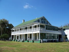 | Chinsegut Hill Manor House | building | 2003 | 03001171 |
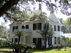 | William Sherman Jennings House | building | 1998 | 98001252 |
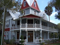 | May-Stringer House | building | 1997 | 97000210 |
| Richloam General Store and Post Office | building | 2017 | 100001734 | |
| Judge Willis Russell House | building | 1999 | 99000046 | |
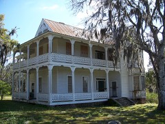 | Frank Saxon House | building | 1998 | 98001321 |
| Sinclair Service Station | building | 2020 | 100005385 | |
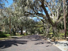 | South Brooksville Avenue Historic District | district | 1998 | 98001203 |
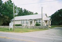 | Spring Lake Community Center | building | 2009 | 09000843 |
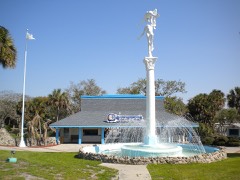 | Weeki Wachee Springs | district | 2020 | 100004890 |
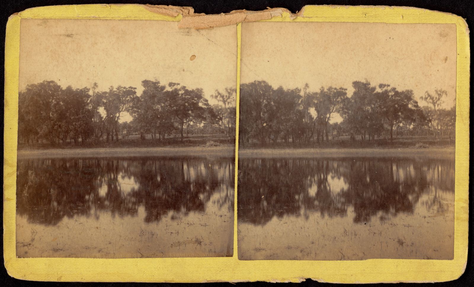
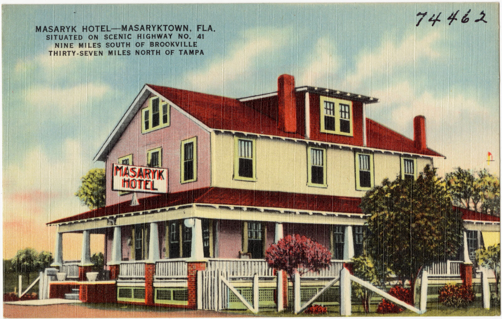
Selected from the Digital Public Library of America's 4 image records catalogued for this county. Every one shown here carries a public-domain status or a licence that permits reuse on a site that carries advertising; non-commercial, share-alike and restricted images are excluded. The selection is spread across the county's towns (at most eight per town), so no single institution's bulk upload crowds out the rest. Each opens the holding library's record, and the complete set at the Digital Public Library of America is one click away.
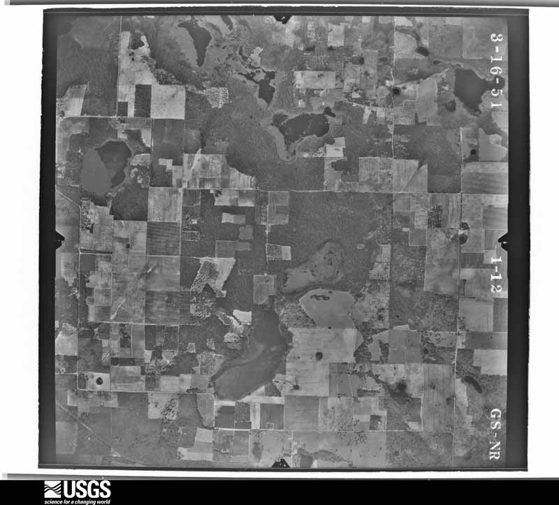
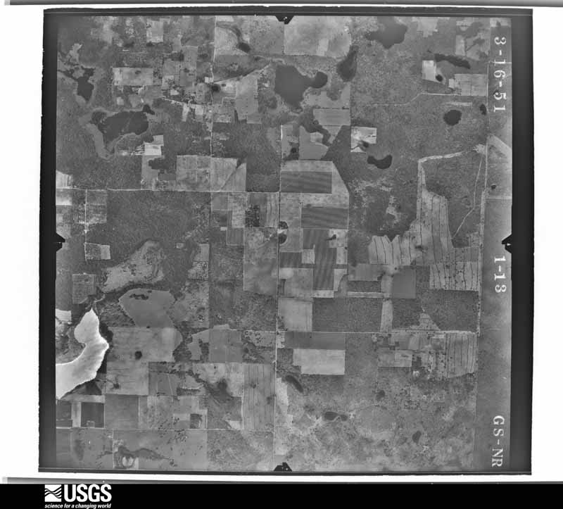
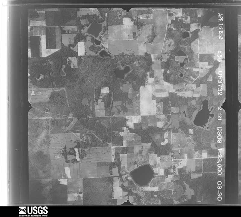
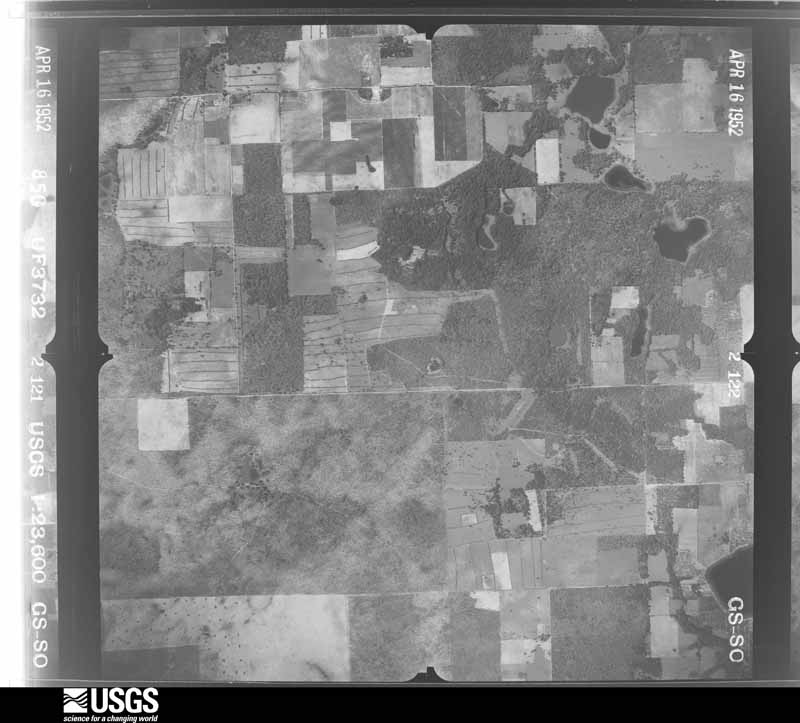
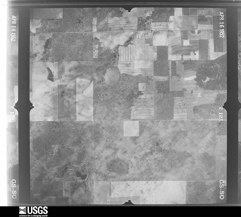
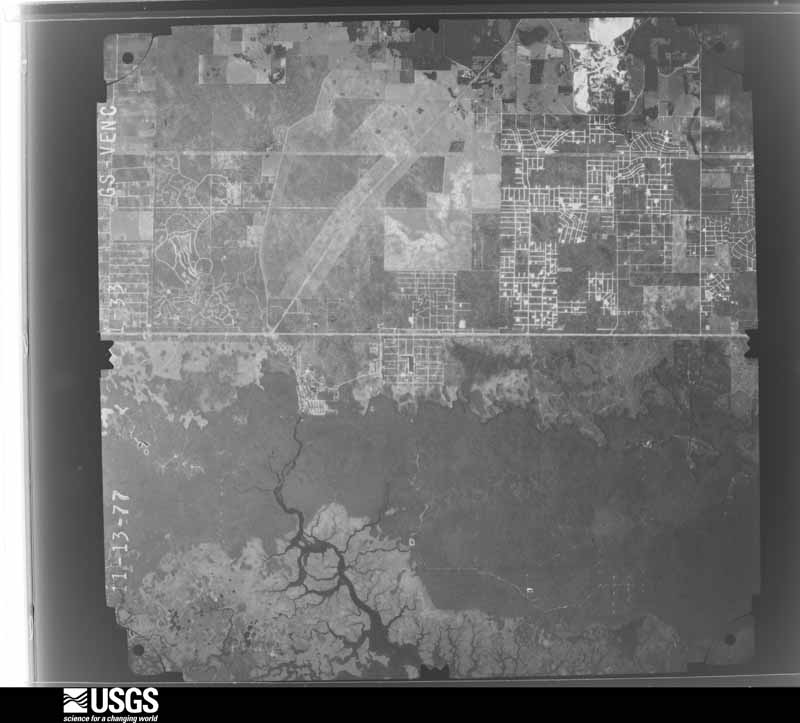
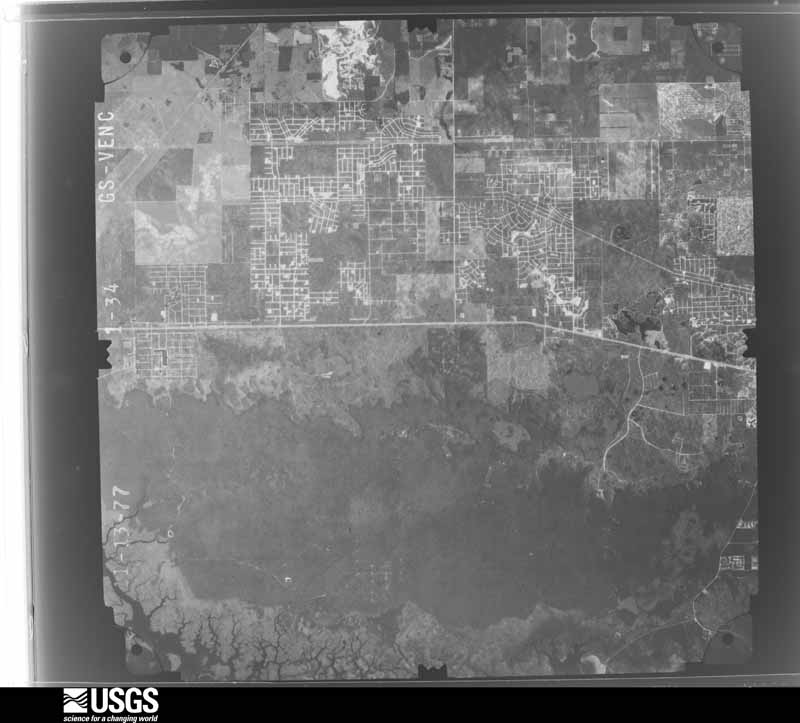
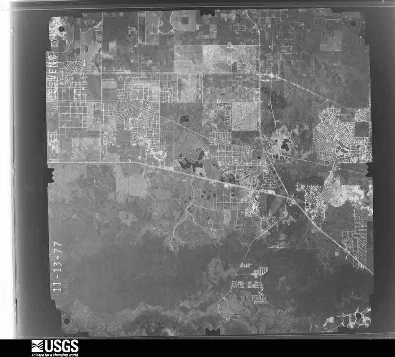
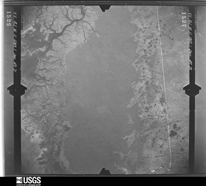
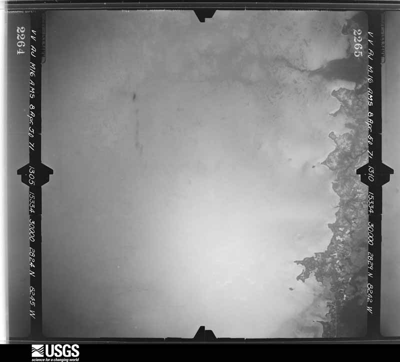
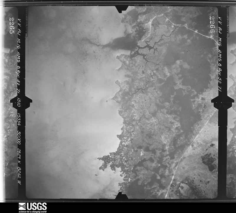
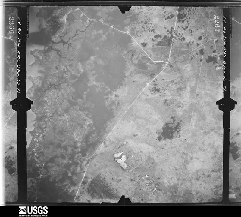
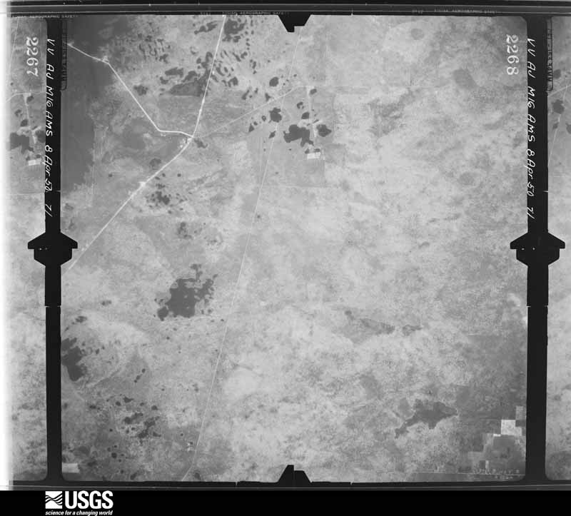
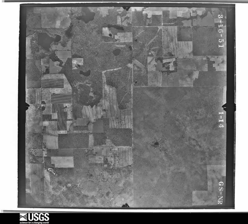
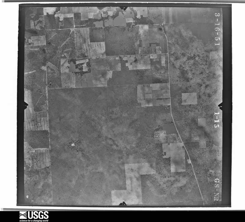
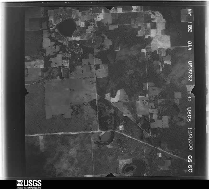
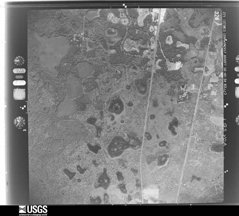
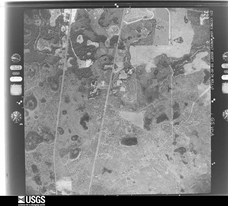
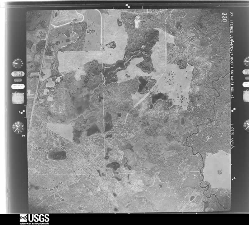
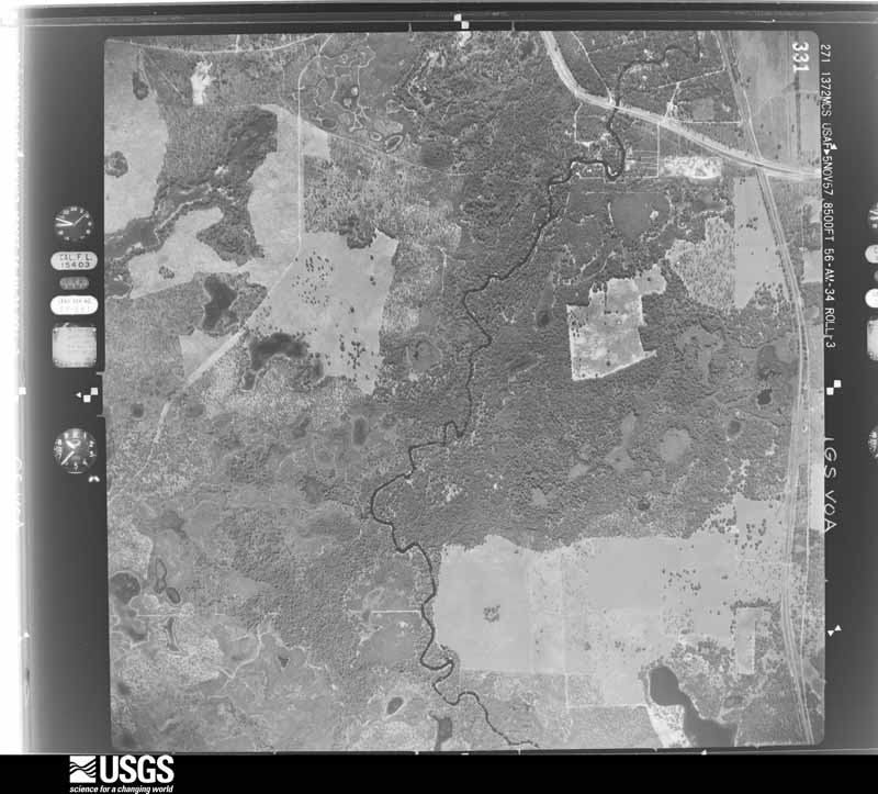
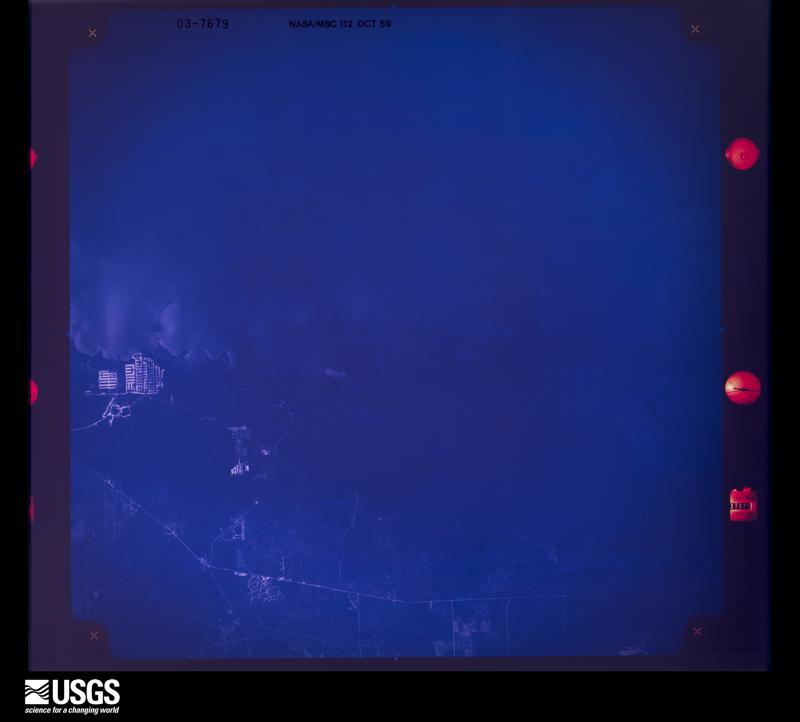
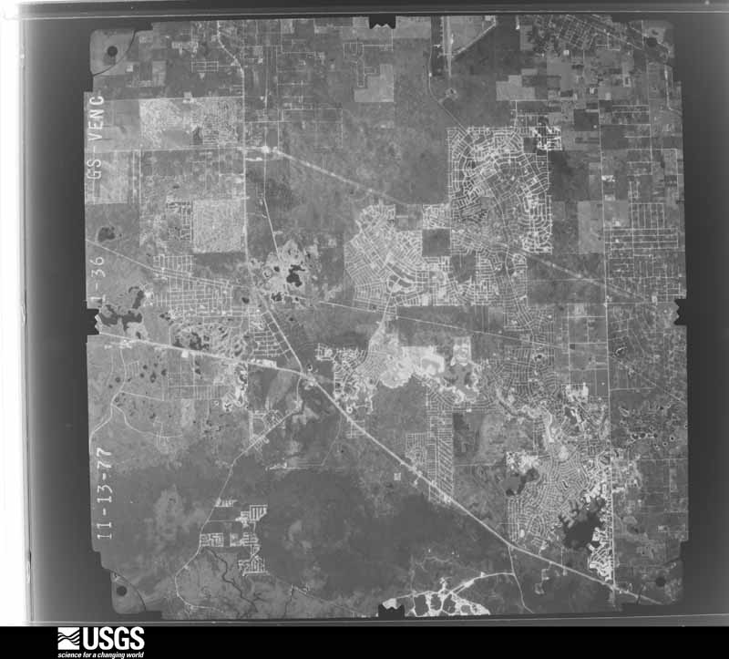
Flown by the U.S. Geological Survey between 1937 and 1989, the Aerial Photo Single Frames collection is the definitive mid-century view of the land: fields, roads and rivers as the camera saw them. The Survey holds 784 frames inside the rectangle that bounds this county; the 28 frames below were taken over the county itself, chosen across the decades of flights (at most four a year from that rectangle), so one flight cannot crowd out the rest. The full set is free to browse and download at EarthExplorer under the dataset Aerial Photo Single Frames.






The thermometers that kept this county's weather, and the gages that measured the flow of its streams, as the federal records hold them. The extremes below are measured values from those records, not estimates.
Who lived here in 1950, one enumeration district at a time, as the Census Bureau described each district. Each row opens its official National Archives result, with Population Schedules and ED Maps available there.
Every wildfire the federal occurrence database records inside this county: 1,277 of them, burning about 18,799 acres. 171 started naturally and 192 were recorded as arson. Each settlement page carries the fires within five miles of it.
| Reported cause | Fires |
|---|---|
| Equipment and vehicle use | 222 |
| Railroad operations and maintenance | 210 |
| Arson/incendiarism | 192 |
| Natural | 171 |
| Debris and open burning | 167 |
| Missing data/not specified/undetermined | 138 |
| Misuse of fire by a minor | 106 |
| Power generation/transmission/distribution | 31 |
| Recreation and ceremony | 20 |
| Smoking | 12 |
| Other causes | 5 |
| Fireworks | 3 |
The five largest, by the area the report gives. One of them was set deliberately.
| Date | Cause | Size | Reported by | Name on the report |
|---|---|---|---|---|
| 8 April 2017 | Natural | 2,000 acres | Florida Forest Service | WATER TOWER (27) |
| 17 June 2009 | Natural | 1,427 acres | Florida Forest Service | 27/BAYPORT FIRE/0711 |
| 27 May 2013 | Missing data/not specified/undetermined | 812 acres | Florida Forest Service | CEMENT (27) |
| 29 March 2013 | Debris and open burning | 777 acres | Florida Forest Service | SOUTH ROAD (27) |
| 31 May 2015 | Natural | 751 acres | Florida Forest Service | REPEAT (27) |
| 19 August 1998 | Natural | 750 acres | Florida Forest Service | not named |
| 28 April 1992 | Equipment and vehicle use | 690 acres | Florida Forest Service | not named |
| 22 March 2009 | Arson/incendiarism | 650 acres | Florida Forest Service | OLD FIFTY |
Every settlement page carries the fires within five miles of it - see the settlement index below.
The NOAA Storm Events Database holds 275 reports for this county, causing no deaths, 9 injuries and about $12,372,380 in recorded property damage. Each settlement page carries the reports that name it.
| Kind of event | Reports |
|---|---|
| Thunderstorm Wind | 151 |
| Tornado | 36 |
| Hail | 28 |
| Flood | 22 |
| Lightning | 17 |
| Heavy Rain | 8 |
| Waterspout | 4 |
| Flash Flood | 3 |
| Storm Surge/Tide | 2 |
| Funnel Cloud | 2 |
| Frost/Freeze | 1 |
| Wildfire | 1 |
The most serious of them, by death, then injury, then recorded damage. The accounts are quoted exactly as the forecast office filed them.
| When | Event | Place named | Harm | What the report says |
|---|---|---|---|---|
| April 1997 | Tornado (F0) | Spring Hill | 1 hurt, $150,000 | A tornado touched down and damaged at least twelve mobile homes and a church in Spring Hill. The most significant damage occurred on Blackhawk Drive where several mobile homes were damaged and a car was smashed by a fallen tree. The tornado downed numerous trees, power lines, broke windows and downed signs from U.S. Highway 19 east across the city of Spring Hill before it lifted. One person, standing outside near the damaged church, suffered facial and leg injuries from wind blown glass. |
| August 1982 | Tornado (F1) | not stated | 1 hurt, $25,000 | no account filed |
| June 1997 | Lightning | Spring Hill | 1 hurt, $10,000 | Lightning struck the roof of a house on Hathaway Street in Spring Hill which surged through the home's electrical system. Damage occurred to the electrical wiring system throughout the house. A woman was slightly injured when a spark from the electrical surge struck her thumb. |
| May 1952 | Tornado (F0) | not stated | 1 hurt, $2,500 | no account filed |
| October 1994 | Thunderstorm Wind | Tpa | 1 hurt, $500 | Thunderstorm winds tore shingles off of a roof and caused a minor injury, 5 miles north of SR 50 on US 19. |
| July 1985 | Tornado (F0) | not stated | 1 hurt, $250 | no account filed |
| July 2004 | Lightning | Spring Hill | 1 hurt | A construction worker was struck by lightning and was thrown 10 feet while working at a new elementary school on Elgin Boulevard. The man was outside taking tools to a metal storage shed when he was struck. The lightning struck the man's head and exited his right foot. The man went into cardiac arrest and was listed in critical condition at a local hospital. |
| June 2000 | Lightning | Brooksville | 1 hurt | A 28 year old man was injured while using a power tool when lightning struck the electrical system of his home on the 15000 block of Woodcrest Road southwest of Brooksville. The man was thrown six to eight feet into the air by the force of the lightning charge. |
| August 1998 | Lightning | Brooksville | 1 hurt | The Hernando County Sheriffs Department reported that an adult male was struck and injured by lightning. |
| September 2017 | Flood | Croom | $5,000,000 | Heavy rains from Hurricane Irma caused the Withlacoochee River at Trilby to rise above flood stage on the 11th, with flooding continuing through the rest of the month. The water level crested at 17.67 feet on September 21st, 1.17 feet above the major flooding threshold. This marks the 5th highest river crest on record for the Withlacoochee River at Trilby.||Farther upstream on the Withlacoochee River, flooding begin at Croom on the 13th and continued through the rest of the month. The river level crested at 11.27 feet on the 22nd, 0.47 feet above the moderate flood stage.||The flood waters entered numerous homes, with Hernando County reporting that 4000 residents were impacted by the flooding. Flood damage to homes was estimated at $5 million. |
| December 1997 | Flood | Brooksville | $1,500,000 | The Withlacoochee River at Croom crested at 10.9 feet, nearly two feet above the flood stage of nine feet on the 31st. Several homes along Hernando-Pasco county line, from Croom south to Ridge Manor, were damaged by floodwaters. The most heavily damaged areas were near County Road 575 and U.S. Highway 301 at the Talisman Estates along the eastern Pasco-Hernando county line. Fifty-four homes were damaged by floodwaters of which ten were destroyed and another 27 incurred major damage. |
| June 2012 | Flood | Ringgold | $940,000 | Part of the Suncoast Parkway between State Road 50 and US 98 was closed due to flooding from heavy rains in Tropical Storm Debby from June 24th through July 4th. Some parts of the Parkway were under 5 feet of water. |
| November 2018 | Tornado (EF1) | Weeki Wachee Acres | $500,000 | Local Emergency Management reported two roofs that sustained major damage from a tornado in Spring Hill with 15 additional homes having minor sustained minor damage. |
| April 1997 | Tornado (F0) | Brooksville | $500,000 | A tornado sporatically touched down along a 16 mile path and damaged up to 50 homes from near U.S. HIghway 41, four miles southwest of Brooksville, east to the Ridge Manor area. Several trees and power lines were also downed from the tornado before it lifted and dissipated. Most damage to homes in the path of the tornado consisted of minor to moderate roof damage, destroyed porch and pool enclosures and downed trees. |
| March 1993 | Thunderstorm Wind | not stated | $500,000 | Strong winds blew the roofs of several homes. Numerous trees and power lines were also blown down. |
| September 1998 | Lightning | Brooksville | $284,000 | Lightning struck and burned a 5,500 square foot home off Croom Road northeast of Brooksville. |
| September 2000 | Lightning | Brooksville | $250,000 | Lightning struck and caused $250,000 dollars in damage to the Hernando county governments telephone and computer system in Brooksville. |
| October 1992 | Tornado (F1) | not stated | $250,000 | no account filed |
| July 2001 | Thunderstorm Wind | Brooksville | $150,000 | National Weather Service damage survey concluded that thunderstorm winds downed sixteen utility poles, two commercial signs and a few trees along State Road 50, one half mile west of County Road 587 (Mariner Blvd). Twelve of the downed power poles on the north side of State Road 50 were also toppled northward by the straight-line thunderstorm winds west of State Road 50 and Weeping Willow Road. Four of the power poles downed on the south side of State Road 50 were also toppled in a northward direction.Also, an electrical fire, caused by downed power lines from the straight-line winds, severely damaged a parked vehicle. |
| February 1998 | Tornado (F0) | Brooksville | $125,000 | A tornado touched down and destroyed a large metal building near the Hernando County Airport. The tornado also caused significant structural damage to a building at a plant nursery and snapped several pine trees along Powell Road before it lifted and dissipated. |
| January 1998 | Flood | Brooksville | $100,000 | The Withlacoochee River at Croom crested at 10.9 feet, nearly two feet above the flood stage of nine feet on the 5th. Several homes along the Hernando-Pasco county line from Croom south to Ridge Manor were damaged by floodwaters. |
| February 1998 | Thunderstorm Wind | Spring Hill | $100,000 | Thunderstorm winds damaged two metal commercial buildings on the 17000 block of Spring Hill Drive in Spring Hill. |
| June 1997 | Lightning | Brooksville | $80,000 | Lightning struck and burned to the ground a pole barn worth $50,000 dollars on Sam C. Road in Brooksville. Lightning also struck a tree on Sims Road in Brooksville which ignited and destroyed a nearby garage worth $30,000 dollars. |
| January 1999 | Tornado (F0) | Spring Hill | $75,000 | A short-lived tornado touched down near the intersection of County Road 585 and Highgrove Road, nine miles east northeast of Spring Hill, over rural, semi-wooded countryside of western Hernando county. The tornado sporadically touched down along a half mile path length and caused moderate to severe roof damage to a couple of homes on Nodoc Road. The tornado uprooted or snapped less than a dozen trees along its path length before it lifted and dissipated near Cartwright and Switchback Roads. |
| January 1999 | Storm Surge/Tide | Pine Is | $75,000 | no account filed |
| March 2001 | Thunderstorm Wind | Spring Hill | $60,000 | Ham radio operators reported that thunderstorm winds removed residential home roofing tiles, toppled sheds, damaged a commercial signs, downed a few trees and numerous large branches along and east of the U.S. Highway 19 corridor in Spring Hill. |
| January 2011 | Thunderstorm Wind | Masaryktown | $55,000 | A total of 18 structures incurred damage from the storms. Thirteen structures sustained minor damage, three moderate, and two major. Damage to homes occurred on Indigo Drive and Matthew Avenue in east Spring Hill, where one home had the roof removed by the wind, another home had some shingles, a satellite dish, and gutters blown off the roof, and a third home had shingle damage and the pool cage collapsed. Significant tree damage occurred along Ferry Avenue, where several large trees were uprooted or large branches snapped. In addition, a speed limit sign was snapped, and a home had a carport partially collapse and gutters partially torn off the roof. Winds were estimated at 60 to 70 mph, with possible gusts up to 80 mph. |
| March 2022 | Tornado (EF1) | Hernando Beach | $50,000 | A line of strong to severe thunderstorms produced a|tornado as the line moved onshore near Weeki Wachee. Observers|reported a waterspout moving onshore shortly after 8AM, with some|minor damage observed and reported in the vicinity. The tornado|then trekked inland through a protected forest, knocking down|trees along a river. Eventually, the tornado emerged in a|neighborhood and continued to knock down trees before dissipating|just before US19 and SR50. |
| December 2022 | Tornado (EF0) | Masaryktown | $50,000 | NWS survey determined that an EF-1 tornado touched down in extreme northern Pasco County south of Masaryktown then moved into Hernando County before dissipating a few miles west of Interstate 75. Primary damage was near beginning of track where a home suffered roof damage. Elsewhere, most damage consisted of snapped or uprooted trees as the tornado tracked mostly over forested area. |
| March 2003 | Thunderstorm Wind | Nobleton | $50,000 | Emergency Management performed a survey of the damage and determined the damage was caused by straight line winds. Many trees were down near Nobleton and power was off to 955 homes. |
| June 2003 | Flash Flood | Brooksville | $50,000 | A mobile home park near Highway 41 and Croom Road in Brooksville experienced a water rise of six feet in a few hours. This resulted in flooded homes and vehicles. One indirect fatality was attributed to the heavy rain as a car hydroplaned and crashed near Highway 19 and Northcliffe in Spring Hill. Masaryktown received 5.05 inches of rain during the day, 3 miles northeast of Spring Hill received 4.30 inches, and Brooksville received 4.09 inches. |
| August 2000 | Thunderstorm Wind | Spring Hill | $50,000 | The Hernando County Sheriffs Department reported that thunderstorm winds downed several trees, large branches and powerlines from Spring Hill to Brooksville. |
| June 1994 | Thunderstorm Wind | Brooksville | $50,000 | Trees were downed onto a road and a large utility shed worth $30,000 was destroyed by thunderstorm winds just north of Brooksville. |
| August 1994 | Thunderstorm Wind | Brooksville | $50,000 | Severe thunderstorms produced dime-size hail and wind gusts that damaged a house roof, and blew down power lines and large tree limbs in Brooksville. |
| July 1994 | Thunderstorm Wind | Spring Hill | $50,000 | Thunderstorm downburst took down many trees and power lines damaging four or five homes and one vehicle southeast of Spring Hill |
| November 1997 | Flood | Countywide | $50,000 | no account filed |
| May 2022 | Flood | Hernando Beach | $30,000 | FDEM relayed report called into Hernando County Sheriff Office by public of 3 to 4 feet of water covering road along Spring Hill Drive between U.S. Hwy 19 and Pinehurst Drive, requiring water rescues from some stalled vehicles. Caller shared video on social media also. |
| June 2000 | Thunderstorm Wind | Brooksville | $25,000 | The public reported, through WFTS-TV (ABC) of Tampa, that thunderstorm winds downed several large trees, one atop a house, in Brooksville. |
| September 1998 | Tornado (F1) | Brooksville | $25,000 | A tornado, associated with an outer band of Hurricane Earl, touched down and caused minor to moderate roof and shingle damage to three single family homes, two additional homes under construction, and snapped several large branches near the intersection of County Roads 572 and 581 south of Brooksville. The tornado continued to down a few large trees and power lines across semi-wooded rural eastern Hernando county before it lifted and dissipated. |
| April 1997 | Thunderstorm Wind | Spring Hill | $25,000 | Thunderstorm winds downed billboards, sheds and several power lines east of U.S. Highway 19. |
| January 1998 | Storm Surge/Tide | Pine Is | $25,000 | no account filed |
| September 1997 | Flood | Brooksville | $25,000 | no account filed |
| July 1996 | Lightning | Brooksville | $25,000 | no account filed |
| October 1992 | Tornado (F1) | not stated | $25,000 | no account filed |
| November 1989 | Tornado (F0) | not stated | $25,000 | no account filed |
| July 1987 | Tornado (F0) | not stated | $25,000 | no account filed |
| February 1983 | Tornado (F1) | not stated | $25,000 | no account filed |
| January 1953 | Tornado (F1) | not stated | $25,000 | no account filed |
| April 2019 | Thunderstorm Wind | Weeki Wachee | $20,000 | Emergency management reported that a small tree fell on a house in Spring Hill. |
| April 2010 | Thunderstorm Wind | Masaryktown | $20,000 | One tree was downed onto a house, and several other trees were downed across the road on Korbus Road in Masaryktown. |
| November 2005 | Thunderstorm Wind | Brooksville | $20,000 | Thunderstorms moved through Brooksville and caused minor damage to several mobile homes along Grant Street and Country Club Drive. The roof of one older mobile home was peeled back. |
| July 2002 | Lightning | Brooksville | $20,000 | Lightning started a business on fire. |
| August 2002 | Thunderstorm Wind | Bayport | $20,000 | Emergency Management reported numerous trees, signs, and power lines down. |
| June 2001 | Thunderstorm Wind | Brooksville | $20,000 | Hernando county emergency management reported that thunderstorm winds downed several large trees, branches and power lines along Citrus Way and Lake Lindsey Road, three miles west of Brooksville. |
| July 2000 | Thunderstorm Wind | Brooksville | $20,000 | Thunderstorm wind gusts of 64 mph were measured by Automated Surface Observing Equipment (ASOS) at the Hernando County Airport. Hernando Emergency Management reported that thunderstorm winds damaged the roof of a chickan farm, downed several large trees, branches and power lines from the Hernando County Airport northeast to near the intersection of U.S. Highway 41 and Powell Road. |
| September 2000 | Lightning | Brooksville | $20,000 | Lightning struck and ignited a fire in bedroom of a home on the 11300 block of Furley Avenue in Royal Highlands of northwest Hernando county. |
| August 1999 | Thunderstorm Wind | Masaryktown | $20,000 | The Hernando County Emergency Management reported thunderstorm winds damaged a few carports and lanais, snapped several large trees and branches, and downed power lines near the intersection of Altoona Avenue and Whiteplains Street two miles west of Masaryktown. |
| June 1998 | Thunderstorm Wind | Brooksville | $20,000 | Thunderstorm wind downed several large trees along the U.S. Highway 41 corridor between U.S. Highway 98 and County Road 476. A home and a truck were damaged by wind toppled trees in Brooksville. |
| June 1997 | Thunderstorm Wind | Brooksville | $20,000 | Thunderstorm winds rolled a mobile home fifteen feet into a metal barn which caused severe damage to both the mobile home and barn. Several large oak trees were also uprooted at the damage site. |
| February 1998 | Flood | Countywide | $20,000 | no account filed |
The Survey's mineral resources record lists 24 workings inside this county. 14 still produce and 10 are closed or unrecorded. Each settlement page carries the workings within five miles of it.
| Commodity | Workings |
|---|---|
| Limestone, General | 11 |
| Stone, Crushed/Broken | 8 |
| Sand | 3 |
| Calcium | 1 |
| Clay | 1 |
The least common of them first, because a county's hundredth gravel pit says nothing its first ten did not.
| Where | Site | Commodity | Status | Recorded |
|---|---|---|---|---|
| Brooksville Lime Kiln | Calcium | Plant | ||
| Wayne Thomas Pit | Clay | Past Producer | ||
| Ariana Dairy Farm, Inc. - Pedone Sand Mine | Sand | Unknown | ||
| Claire H. Clements - Master Tract Mine | Sand | Unknown | ||
| Hernando Sandpit & Wood Facility - Hernando Sandpit | Sand | Unknown | ||
| Annutteliga Limestone Quarry | Stone, Crushed/Broken | Past Producer | ||
| Aripeka Quarry | Stone, Crushed/Broken | Producer | ||
| Broco Quarry | Stone, Crushed/Broken | Producer | ||
| Brooksville Gay Quarry | Stone, Crushed/Broken | Producer | ||
| Diamond Hill Quarry | Stone, Crushed/Broken | Producer | ||
| Fla Mining/Matls Mine & Cement Plnt | Stone, Crushed/Broken | Plant | ||
| Lansing Limestone Quarry | Stone, Crushed/Broken | Past Producer | ||
| Ridge Manor Mine | Stone, Crushed/Broken | Producer | ||
| Dot Dade City - Mason-Smith Mine | Limestone, General | Unknown | Limestone | |
| E R Jahna Industries, Inc. - Mills Mine | Limestone, General | Unknown | Limestone | |
| E.R. Jahna - Mills Mine | Limestone, General | Producer | Limestone | |
| Florida Crushed Stone - Greg Mine | Limestone, General | Producer | Limestone | |
| Florida Mining and Mat'Ls - Broco Mine | Limestone, General | Unknown | Limestone | |
| Florida Rock Industries, Inc. - Brooksville Mine | Limestone, General | Unknown | Limestone | |
| Goodwin Brothers Construction | Limestone, General | Producer | Limestone | |
| Oman Constr. - Aripeka Mine | Limestone, General | Producer | Limestone | |
| Southdown - Broco Quarry | Limestone, General | Producer | Limestone | |
| Stephens Transp Co., Inc | Limestone, General | Producer | Limestone | |
| Stephens Transportation Co. | Limestone, General | Producer | Limestone |
Named settlements recorded in the Geographic Names Information System, each with the topographic sheets covering it. Villages, hamlets and abandoned places alike. Each is shown with the nearest named watercourse or landform and the survey quadrangle it falls on.
Ridge Manor census division · 33523 · Near Seaburg Hammock · Lacoochee quadrangle
12 sheets, 1955 to 1978
Hernando Beach census division · 34607 · On Mud River · Bayport quadrangle
16 sheets, 1954 to 1979
Hernando Beach census division · 34606 · Weeki Wachee Spring quadrangle
14 sheets, 1954 to 1979
Hernando Beach census division · 34607 · Near Rock Island · Bayport quadrangle
16 sheets, 1954 to 1979
Hernando Beach census division · 34607 · Near Little Pine Island · Aripeka quadrangle
14 sheets, 1954 to 1978
Spring Hill census division · 34613 · Weeki Wachee Spring quadrangle
14 sheets, 1954 to 1979
Brooksville census division · 34602 · Brooksville SE quadrangle
14 sheets, 1954 to 1979
Ridge Manor census division · 33597 · Near Seaburg Hammock · Saint Catherine quadrangle
14 sheets, 1955 to 1979
Brooksville census division · 34601 · Near Chinsegut Hill · Nobleton quadrangle
14 sheets, 1954 to 1979
Brooksville census division · 34601 · Brooksville quadrangle
16 sheets, 1954 to 1998
Hernando Beach census division · 34607 · On Salt Creek · Bayport quadrangle
16 sheets, 1954 to 1979
Hernando Beach census division · 34607 · On Pine Island · Bayport quadrangle
16 sheets, 1954 to 1979
Ridge Manor census division · 33597 · By Rock Bluff · Saint Catherine quadrangle
14 sheets, 1955 to 1979
Ridge Manor census division · 33523 · Near Seaburg Hammock · Saint Catherine quadrangle
14 sheets, 1955 to 1979
Brooksville census division · 34601 · Brooksville quadrangle
16 sheets, 1954 to 1998
Ridge Manor census division · 33597 · By Rock Bluff · Saint Catherine quadrangle
14 sheets, 1955 to 1979
Spring Hill census division · 34606 · Port Richey NE quadrangle
15 sheets, 1954 to 1999
Brooksville census division · 34601 · Brooksville quadrangle
16 sheets, 1954 to 1998
Spring Hill census division · 34606 · Weeki Wachee Spring quadrangle
14 sheets, 1954 to 1979
Spring Hill census division · 34606 · Port Richey NE quadrangle
15 sheets, 1954 to 1999
Hernando Beach census division · 34607 · On Mud River · Bayport quadrangle
16 sheets, 1954 to 1979
Hernando Beach census division · 34607 · Aripeka quadrangle
14 sheets, 1954 to 1978
Spring Hill census division · 34606 · Port Richey NE quadrangle
15 sheets, 1954 to 1999