Block
BlockFrom the record
One of 93 National Register listings published here for Volusia County · listed in 2022 · category: Building.
Sources: the National Register database, National Park Service
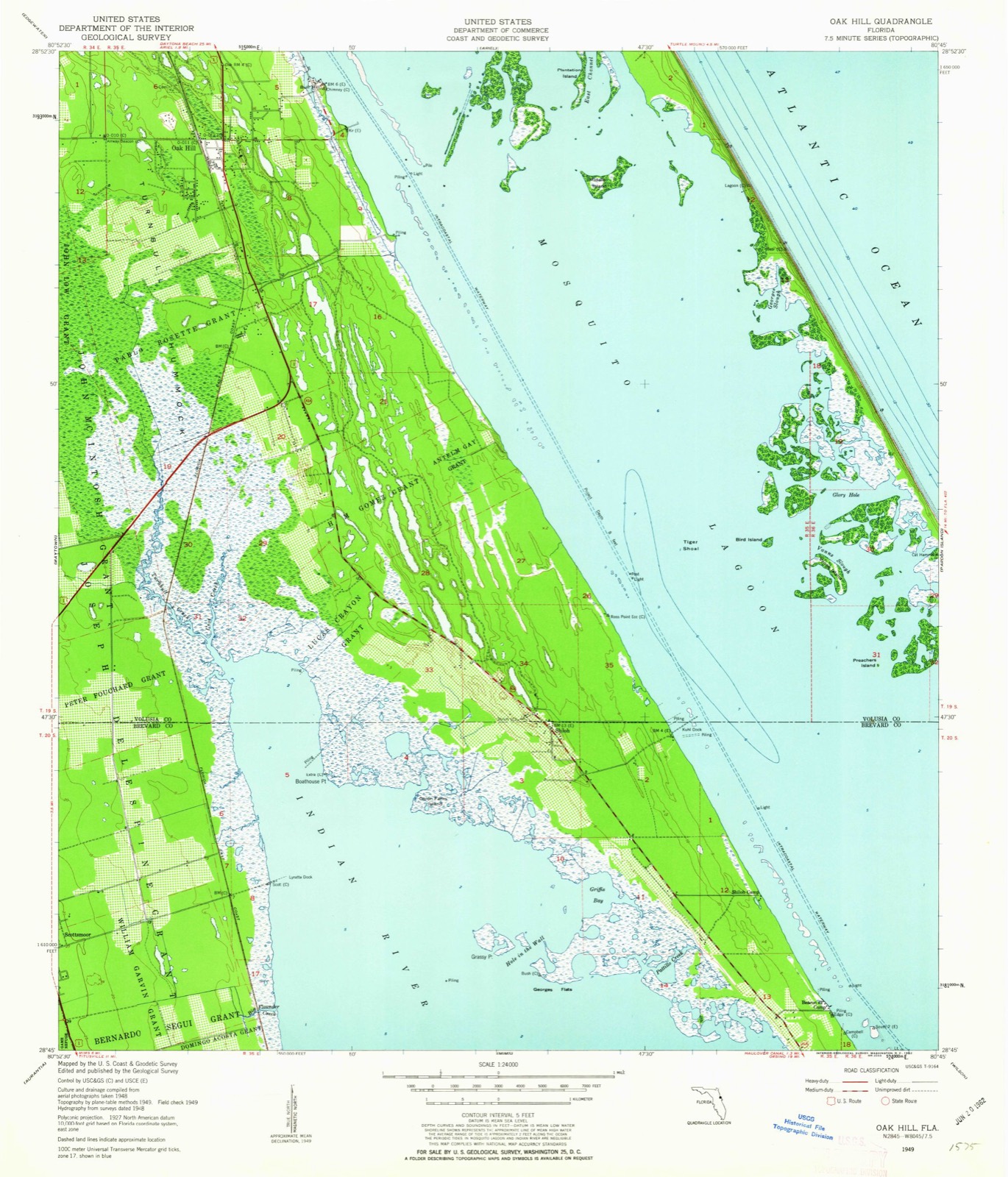
Listed on the National Register of Historic Places in 2022. 6 historic topographic surveys show this location, the earliest from 1949.
One of 93 National Register listings published here for Volusia County · listed in 2022 · category: Building.
Sources: the National Register database, National Park Service
The ground this property stands on, surveyed 30 years apart. Drag the handle to wipe between them. Both sheets are United States Geological Survey originals; neither has been altered.
Regional context, not property-specific evidence. The federal wildfire occurrence database lists 232 fires within 5 miles of Village Improvement Association Hall between 1992 and 2020, burning about 7,341 acres in total. 87 started naturally. 20 were recorded as arson. Distance is straight-line from the map coordinates, so a fire counted here may appear on a neighbouring settlement's page as well.
| Reported cause | Fires |
|---|---|
| Natural | 87 |
| Missing data/not specified/undetermined | 44 |
| Equipment and vehicle use | 41 |
| Arson/incendiarism | 20 |
| Debris and open burning | 14 |
| Railroad operations and maintenance | 13 |
| Recreation and ceremony | 9 |
| Power generation/transmission/distribution | 3 |
| Misuse of fire by a minor | 1 |
The most recent of them, most recent first, with the day each was reported and the service that recorded it.
| Date | Cause | Size | Reported by | Name on the report |
|---|---|---|---|---|
| 26 September 1995 | Equipment and vehicle use | under an acre | Florida Forest Service | not named |
| 24 September 2004 | Recreation and ceremony | under an acre | Florida Forest Service | 645 |
| 23 September 1995 | Equipment and vehicle use | under an acre | Florida Forest Service | not named |
| 22 September 1995 | Equipment and vehicle use | under an acre | Florida Forest Service | not named |
| 21 September 2010 | Railroad operations and maintenance | 14 acres | Florida Forest Service | WF-64-CLINTON CEMETARY RD. |
| 2 September 1994 | Railroad operations and maintenance | 1.0 acres | Florida Forest Service | not named |
| 16 September 1995 | Equipment and vehicle use | under an acre | Florida Forest Service | not named |
| 8 August 2000 | Natural | under an acre | Florida Forest Service | not named |
Regional context, not property-specific evidence. The federal mineral resources record lists 1 working within 5 miles of Village Improvement Association Hall: 1 producer. All of them still produce. What was taken out: Limestone, General. Distance is straight-line from the map coordinates, so a quarry counted here may appear on a neighbouring settlement's page as well.
| Where | Site | Commodity | Status | Recorded |
|---|---|---|---|---|
| Volusia Co. Rd. and Bridge - Oak Hill Pit | Limestone, General | Producer | Limestone |
Regional context, not property-specific evidence. The National Weather Service names Oak Hill, the town this property stands in, in 9 storm reports between 1997 and 2024: 3 hail, 2 tornado, 1 flash flood, 1 lightning. No death or injury is recorded in these reports. Each account below is quoted exactly as the forecast office filed it, from the NOAA Storm Events Database, and each date opens the federal record of that event.
| When | Event | Place named | Harm | What the report says |
|---|---|---|---|---|
| October 2024 | Flood | Oak Hill | $240,000,000 | Volusia County Emergency Management reported significant urban, street, and low-lying flooding as a result of 6 to 12 inches of rain in association with Hurricane Milton. A period of very heavy rainfall rates associated with the core of the storm led to flash flooding during the overnight period (Oct 9 - 10).||The heavy rain that fell as a result of the storm also led to a long-term river flood event along the St. Johns with the river near Geneva entering major flood on Oct 14, peaking at 10.15 feet on Oct 15. At Deland, the river rapidly rose to major flood stage on Oct 11, peaking at 5.49 ft on Oct. 14. Downstream at Astor, the river was already in minor flood stage at the beginning of the event and quickly rose to major the morning of Oct 10, peaking at 4.81 ft on Oct 12, a new record for the site. |
| February 1998 | Tornado (F2) | Oak Hill | $500,000 | The same supercell that produced the Sanford tornado produced an F2 tornado that touched down just west of Interstate 95 about 5 miles west of Oak Hill. The tornado moved northeast at 45 mph blowing down trees destroying two barns and damaging 10 mobile homes and 2 houses. The tornado lifted at the town of Ariel at U.S. Highway 1. |
| July 2003 | Lightning | Oak Hill | $30,000 | Fire started by lightning destroyed a mobile home on Maytown Road. |
| July 1997 | Tornado (F0) | Oak Hill | $30,000 | A small tornado touched down briefly in Oak Hill damaging two houses and eight mobile homes. |
| September 1999 | Flash Flood | Oak Hill | $10,000 | Heavy rain of 2 to 4 inches produced flooding in Oak Hill. Two homes had minor flooding. |
| August 2012 | Thunderstorm Wind | Oak Hill | - | U.S. Air Force Wind Tower 22 at the Kennedy Space Center recorded a 59 mph wind gust as a thunderstorm occurred near Haulover Canal. |
| July 2003 | Hail | Oak Hill | - | no account filed |
| March 2001 | Hail | Oak Hill | - | no account filed |
| April 2000 | Hail | Oak Hill | - | no account filed |
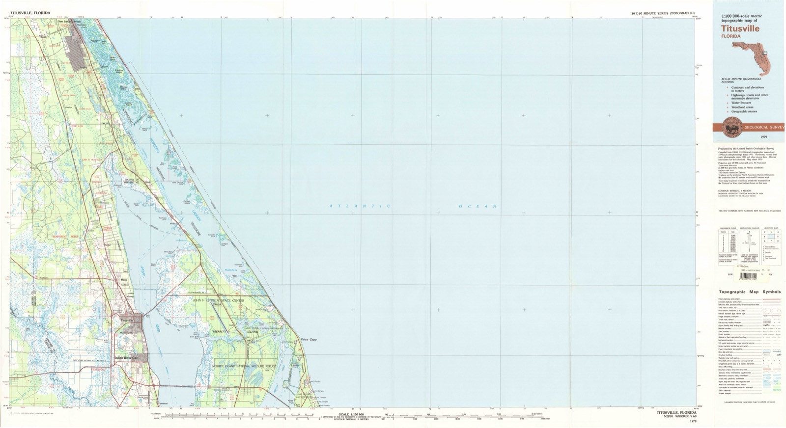
United States Geological Survey topographic sheets whose coverage includes this point. Matched by taking the coordinate the National Park Service records for this property, then testing that coordinate against the published boundary of every sheet.
Other National Register properties close enough to walk or drive between, ordered by distance from this one. Both positions come from the same geocoding pass that matched these properties to their map sheets.
| Photograph | Property | Distance | Listed |
|---|---|---|---|
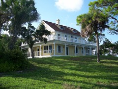 | Seminole Rest | 0.9 miles | 1997 |
| Doris Leeper House | 3.4 miles | 2020 | |
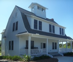 | Moulton-Wells House | 3.7 miles | 2001 |
| National Archives record | The nomination case file for reference 100008277 in Record Group 79. |
| Volusia County | All 93 listed properties in this county. |