Block
BlockFrom the record
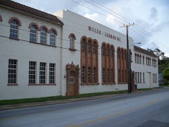
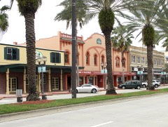
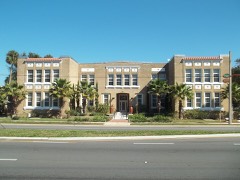
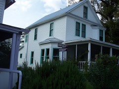
93 National Register listings published here, 2 of them National Historic Landmarks.
Sources: the National Register database, National Park Service
140 topographic sheets cover 86 settlements here, and 93 properties are on the National Register of Historic Places.
93 National Register listings published here, 2 of them National Historic Landmarks.
Sources: the National Register database, National Park Service
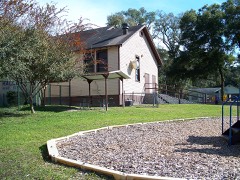
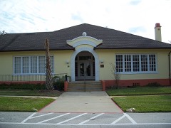
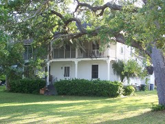
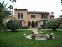
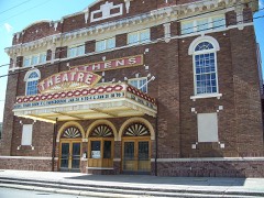
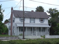
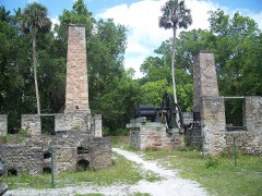
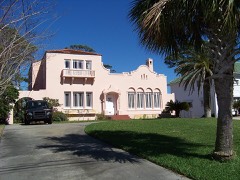
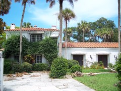
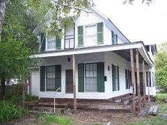
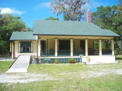
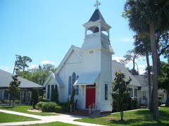
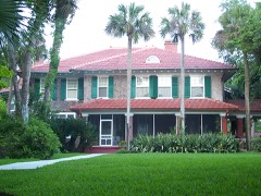
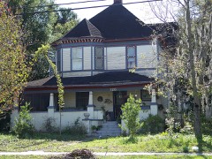
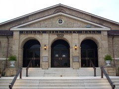
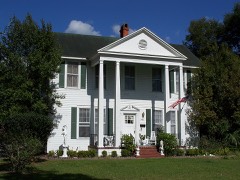
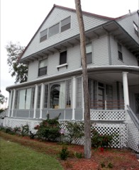
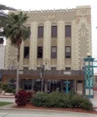
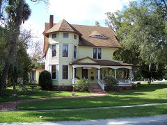
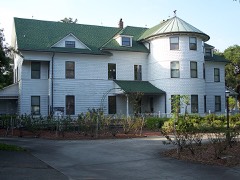
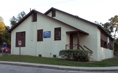
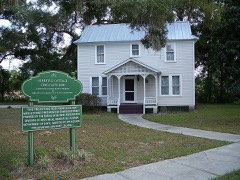
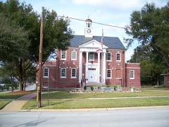
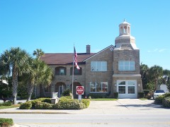
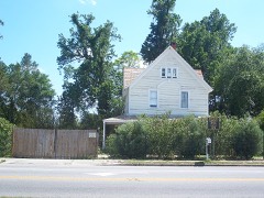
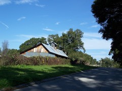
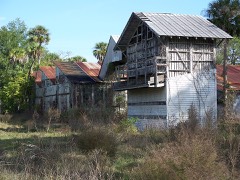
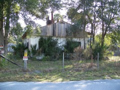
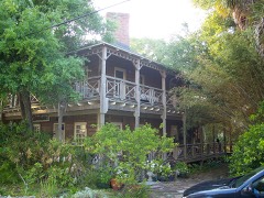
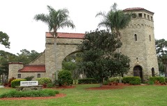
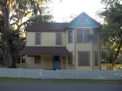
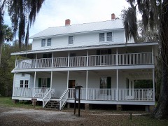
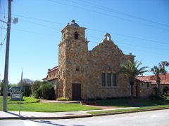
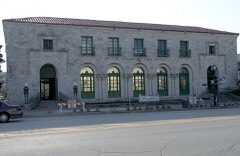
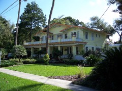
Every property in this county listed on the National Register of Historic Places, with the year it was listed and the federal nomination document.
Drawn when these were printed as single large sheets: the town seen from the air, and the county divided into its farms with every owner named. Each opens the original at the Library of Congress.
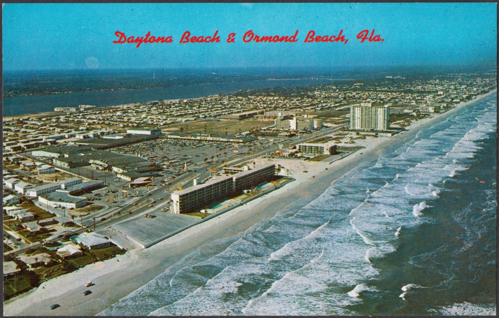
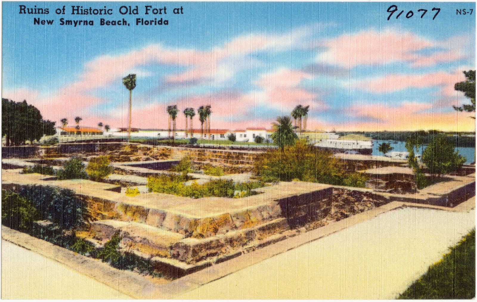
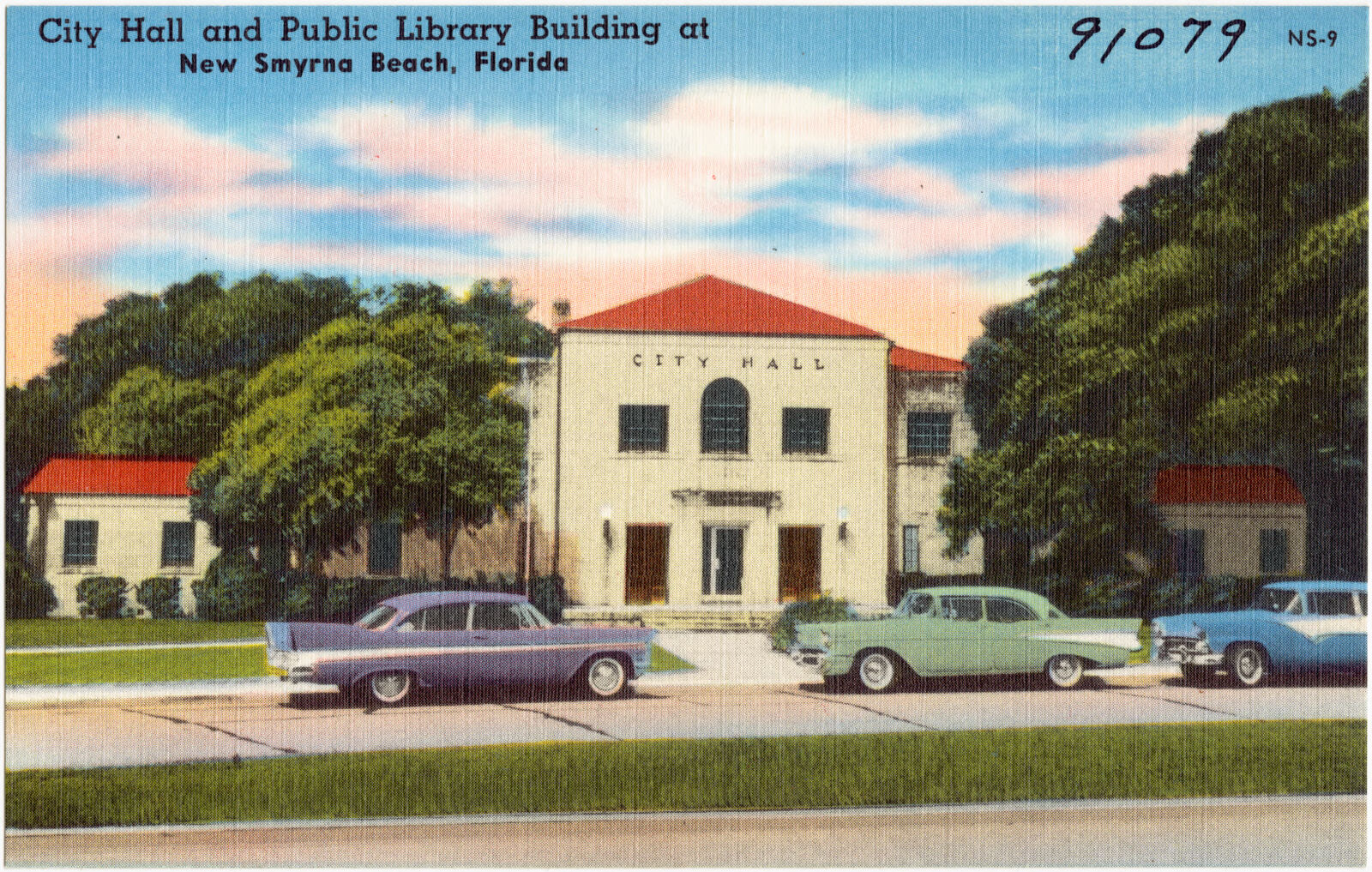
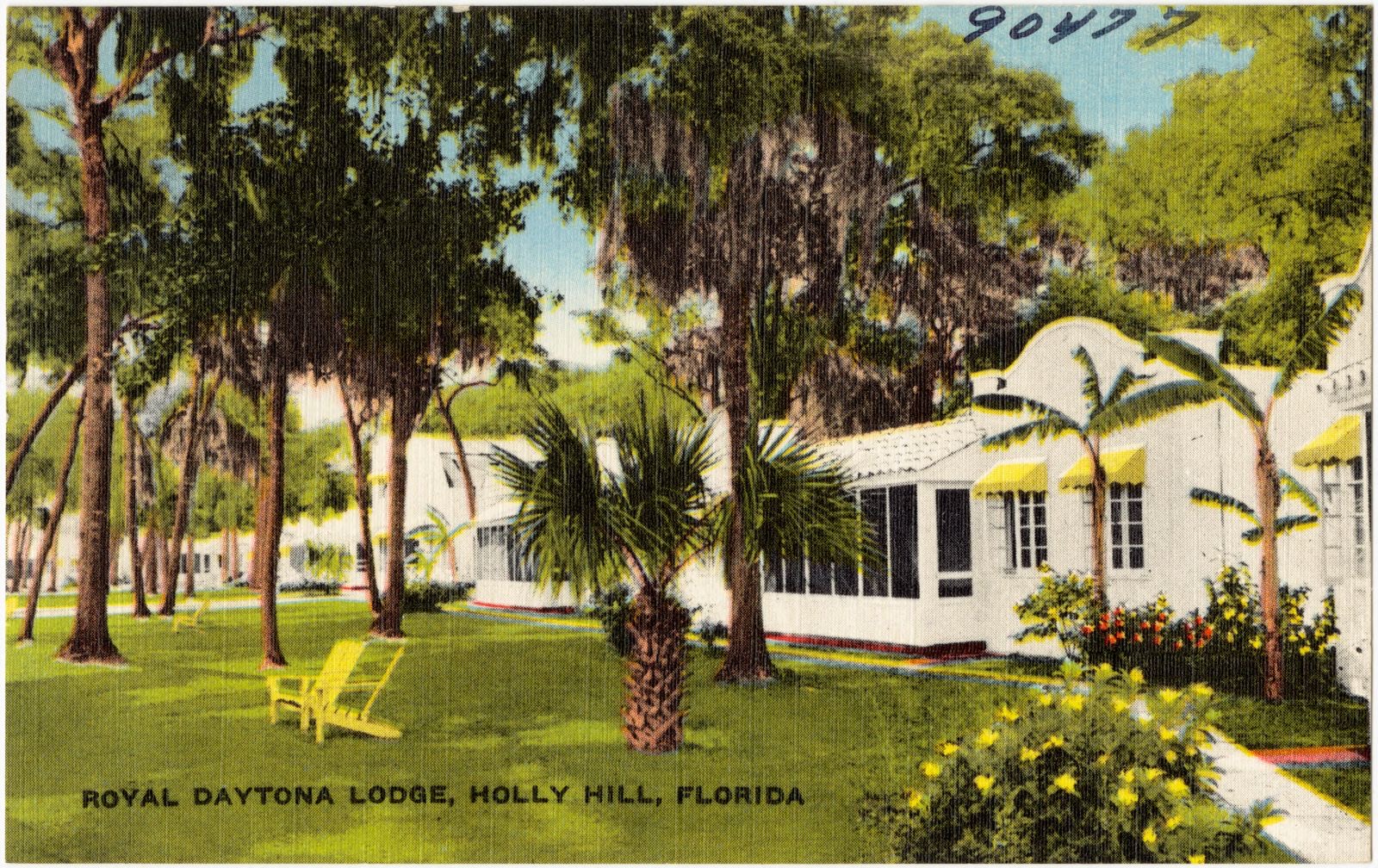
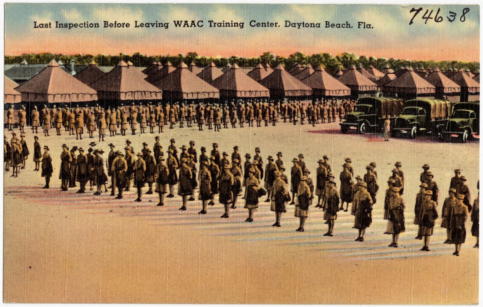
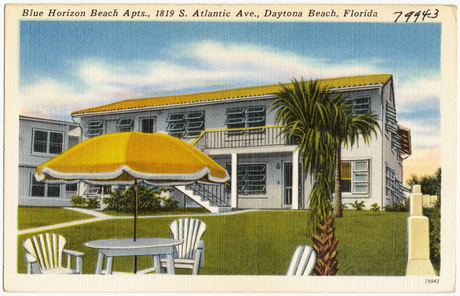
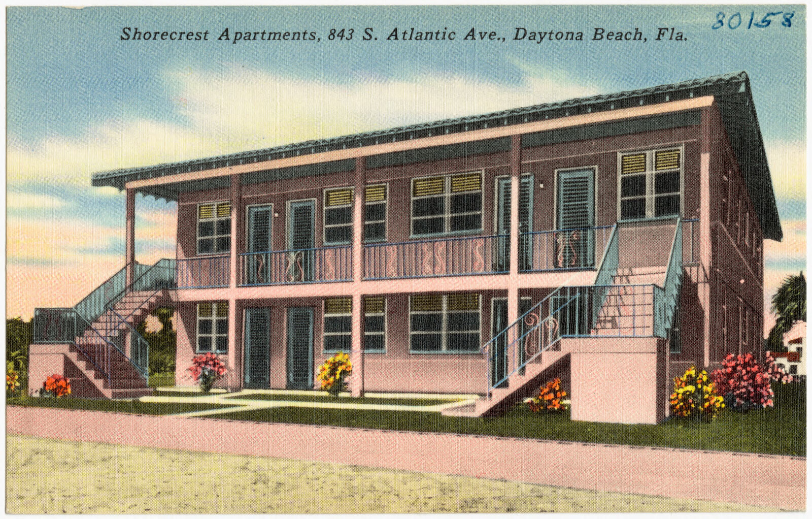
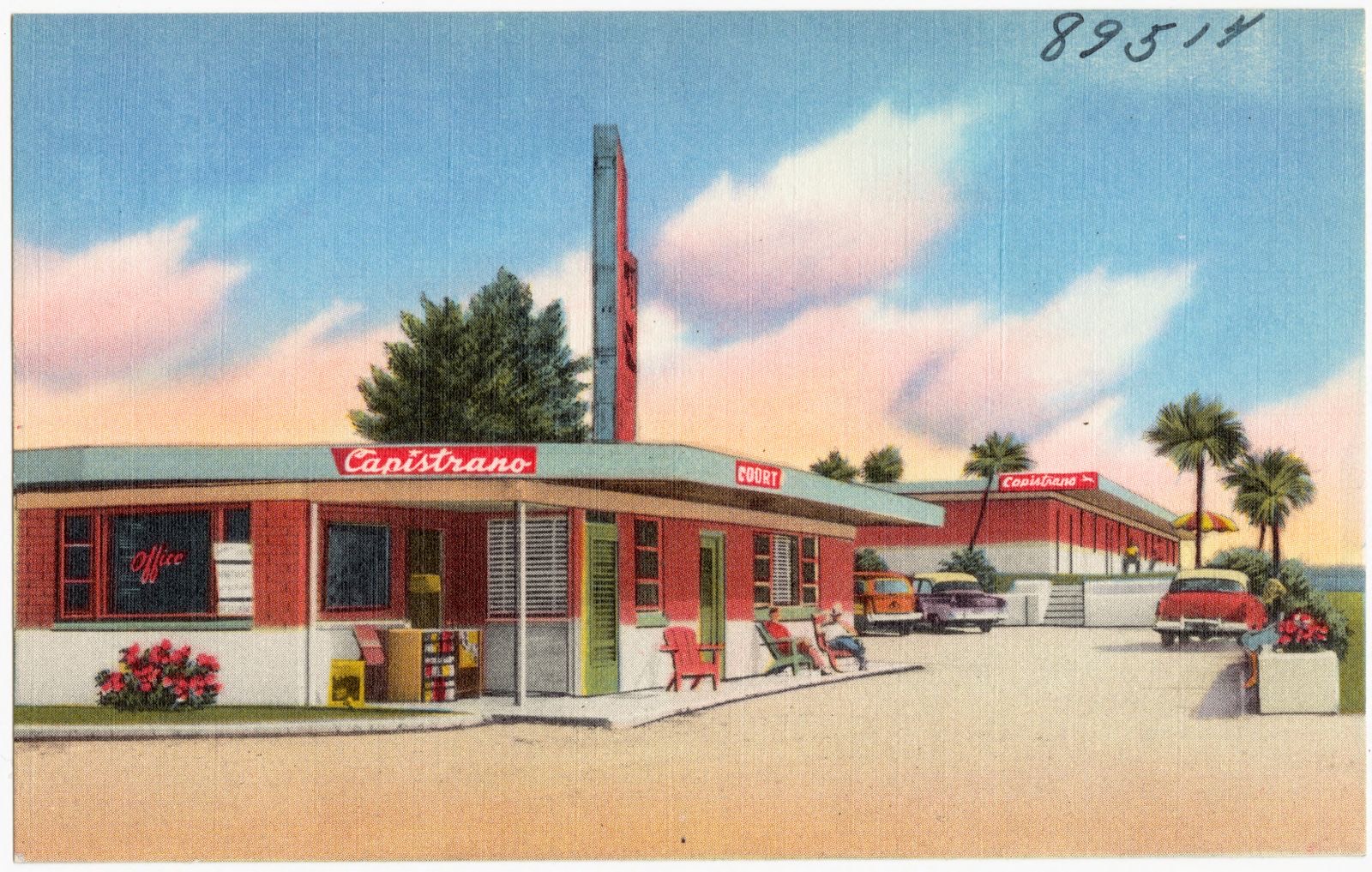
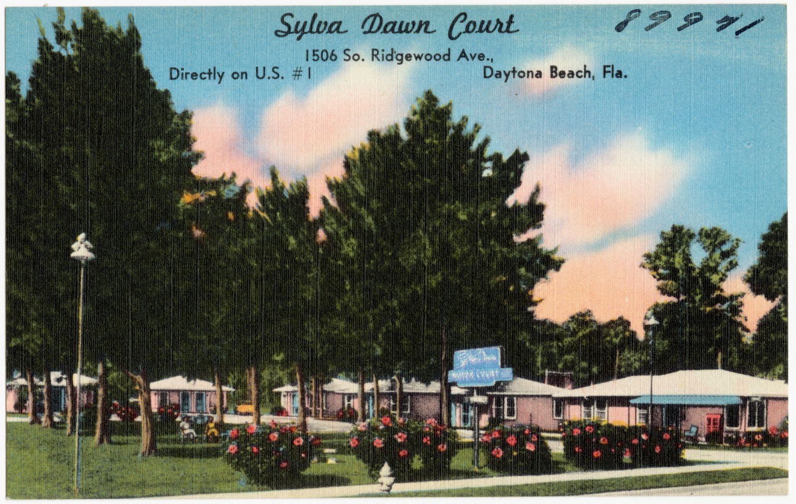
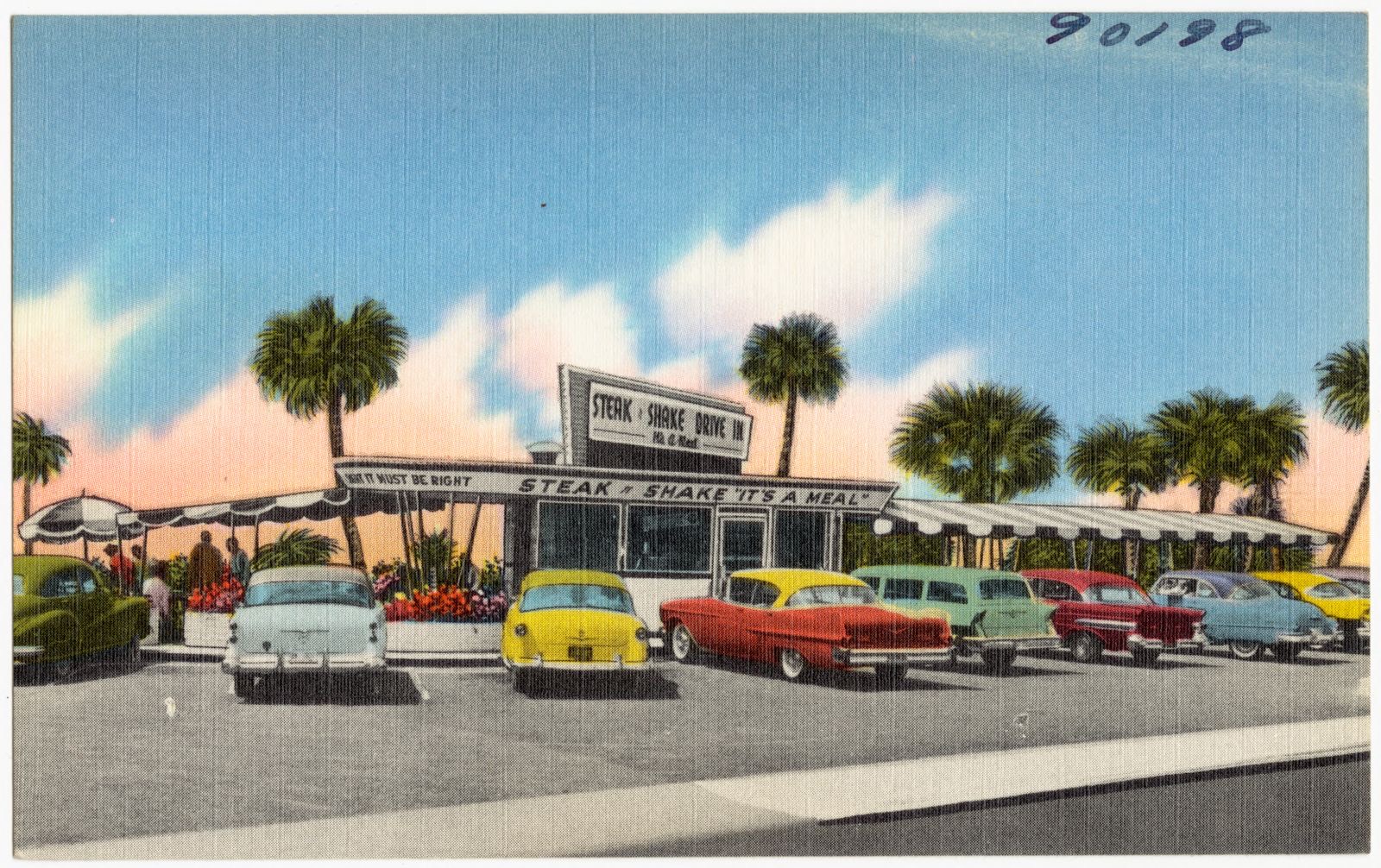
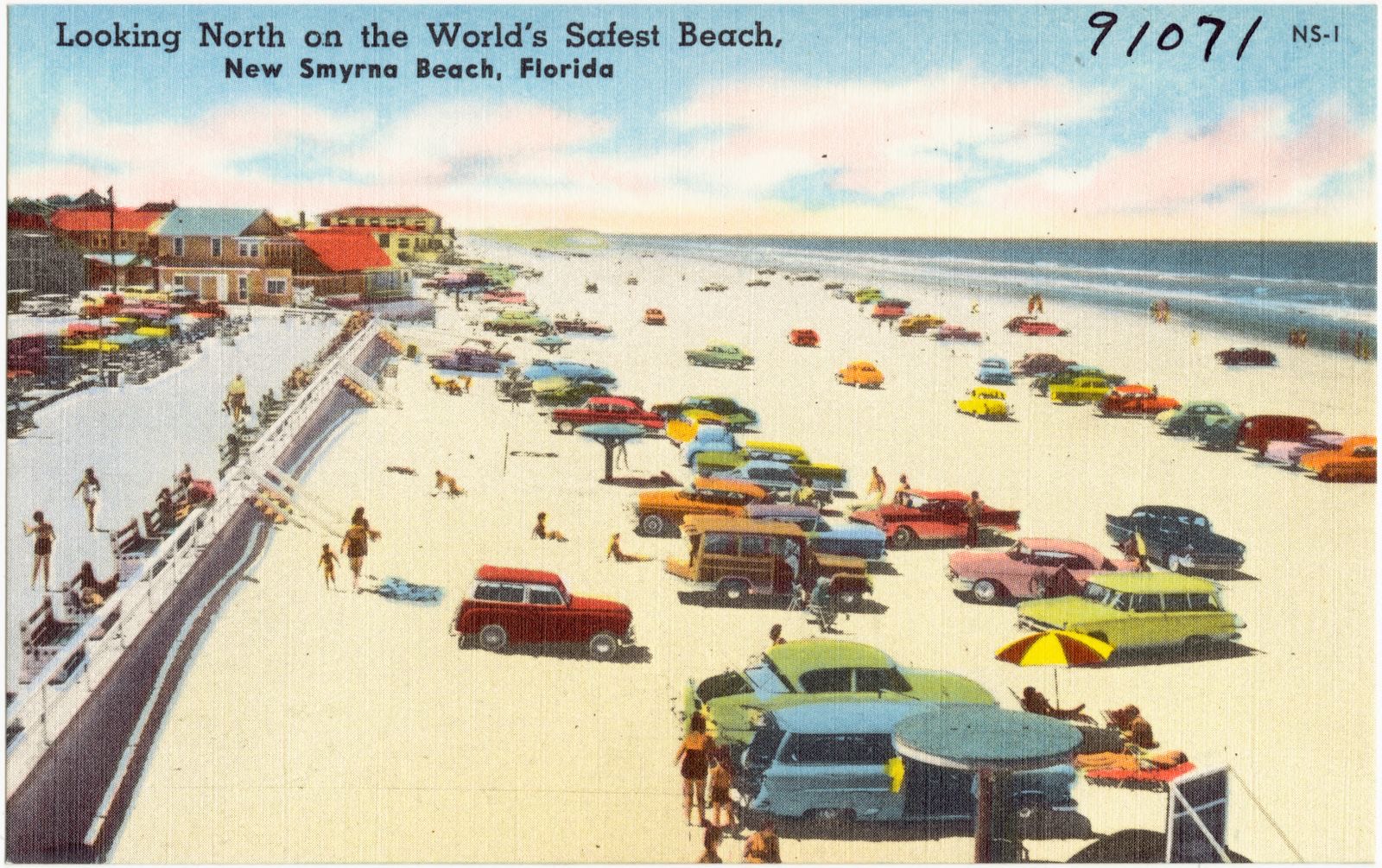
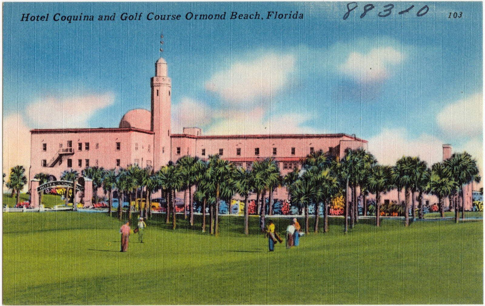
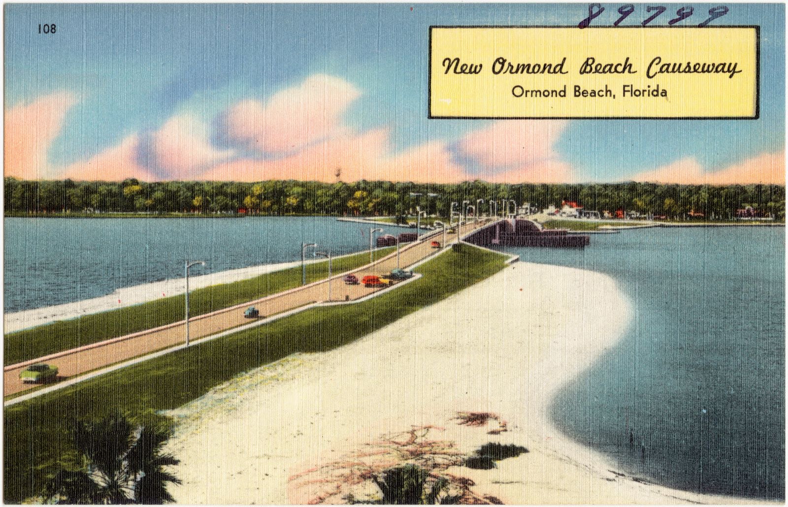
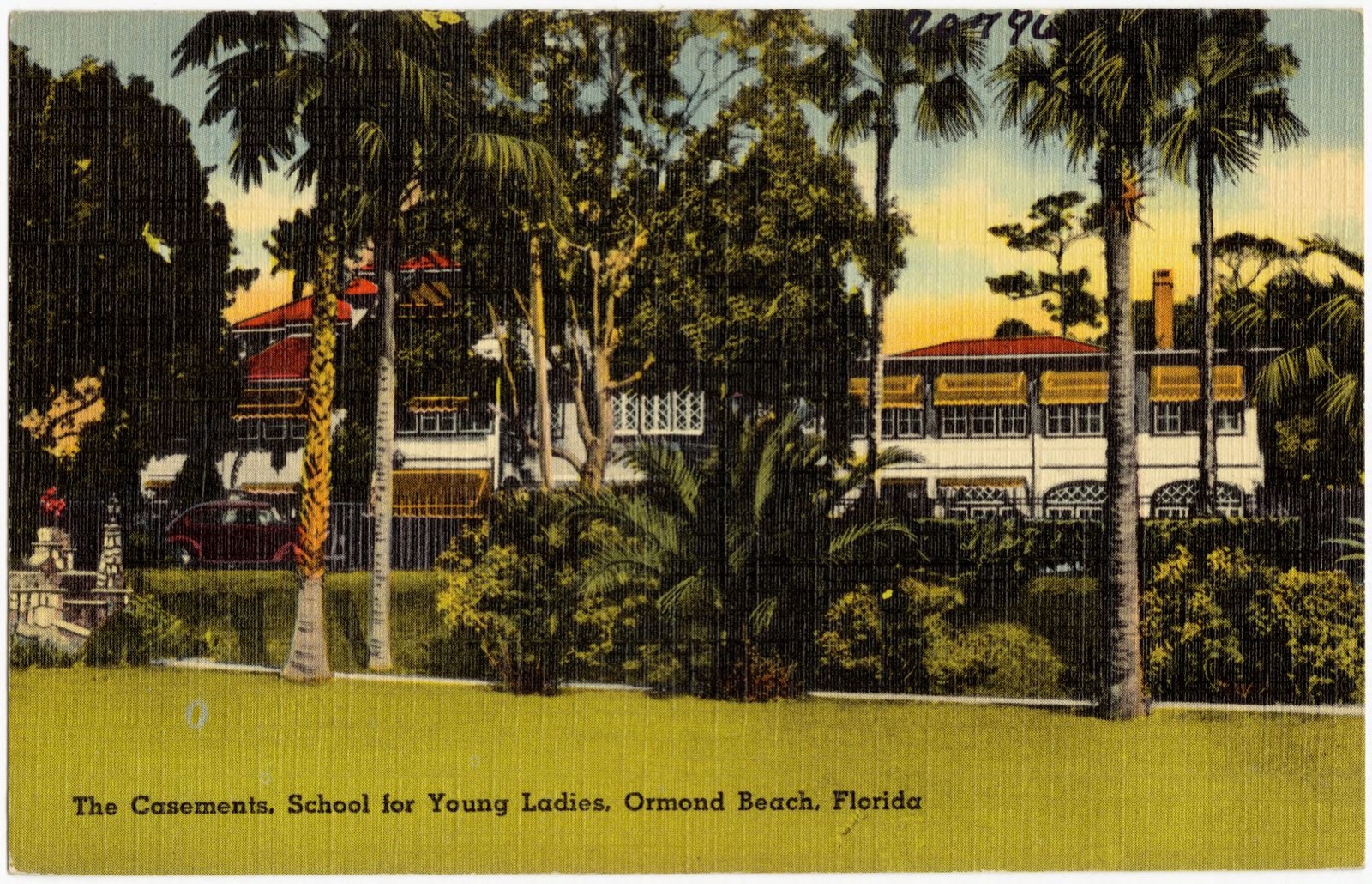
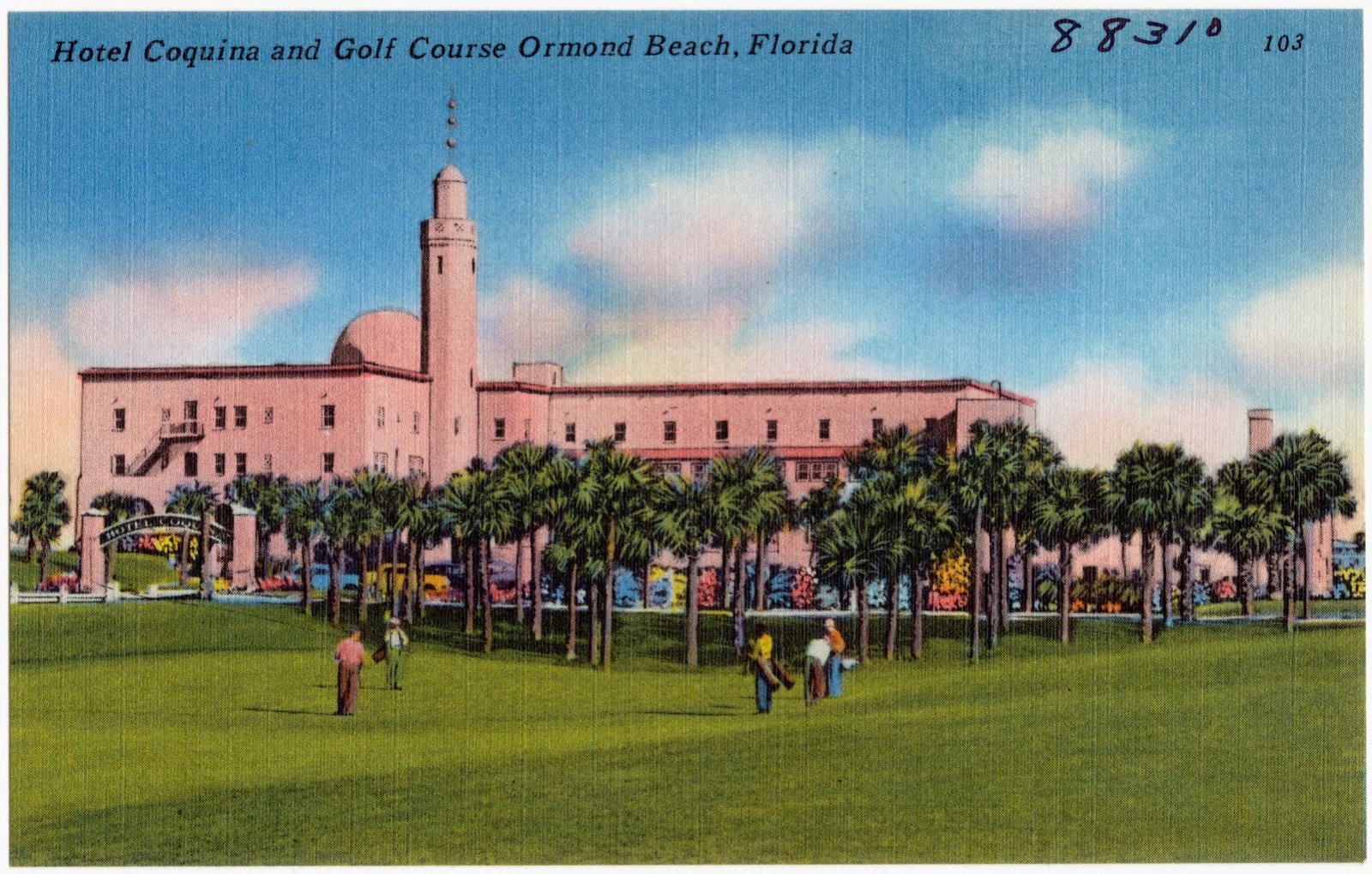
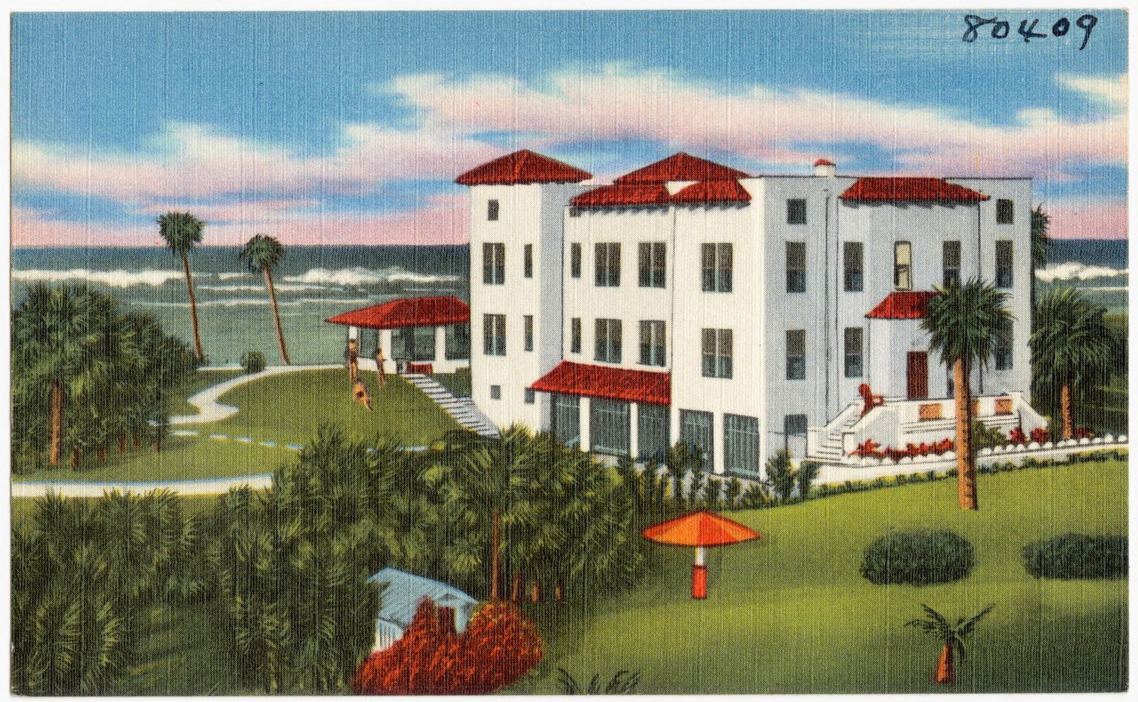
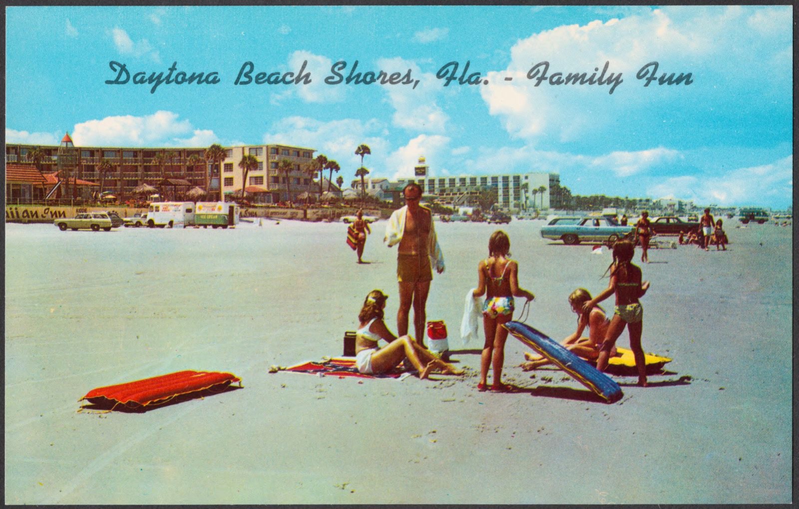
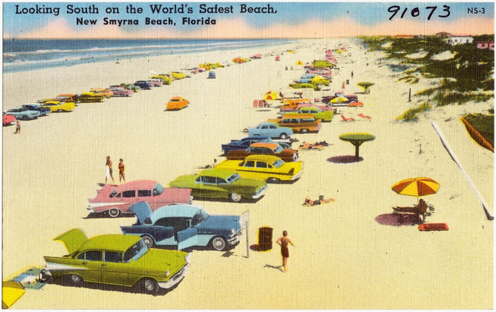
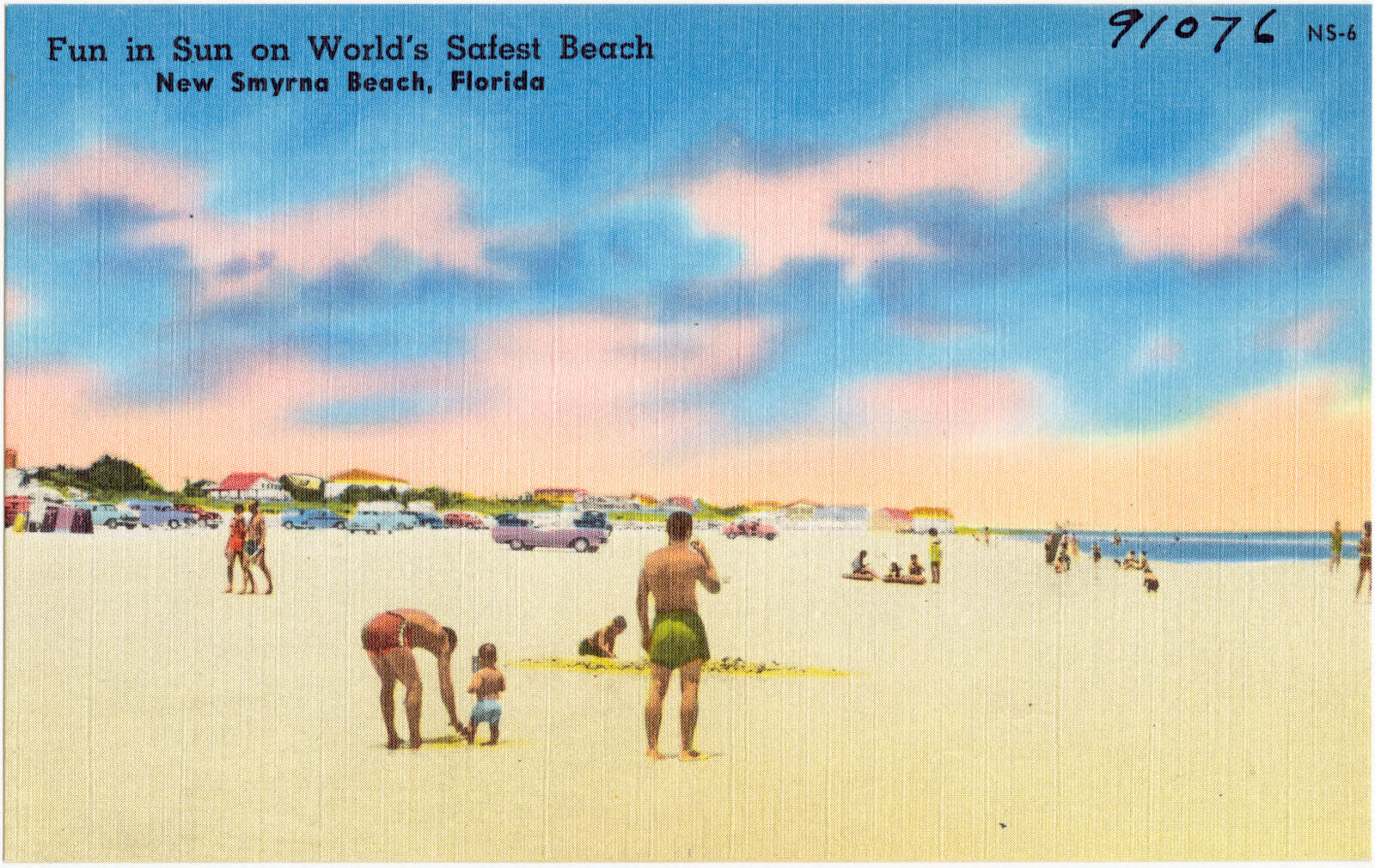
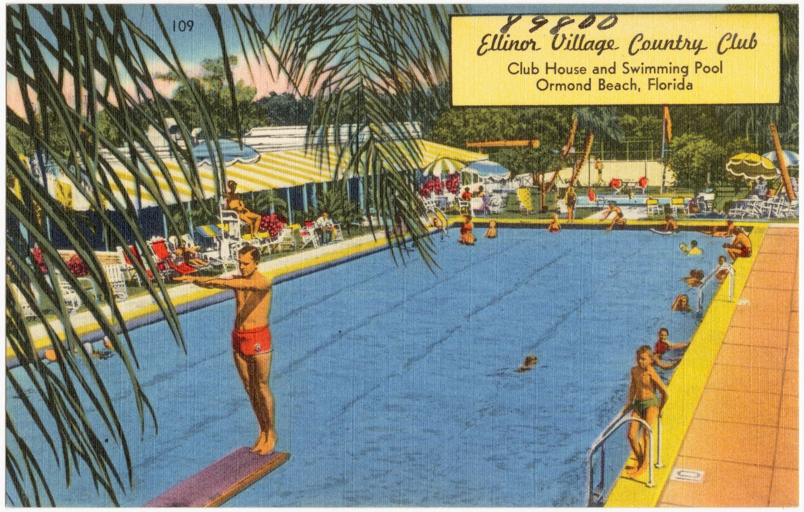
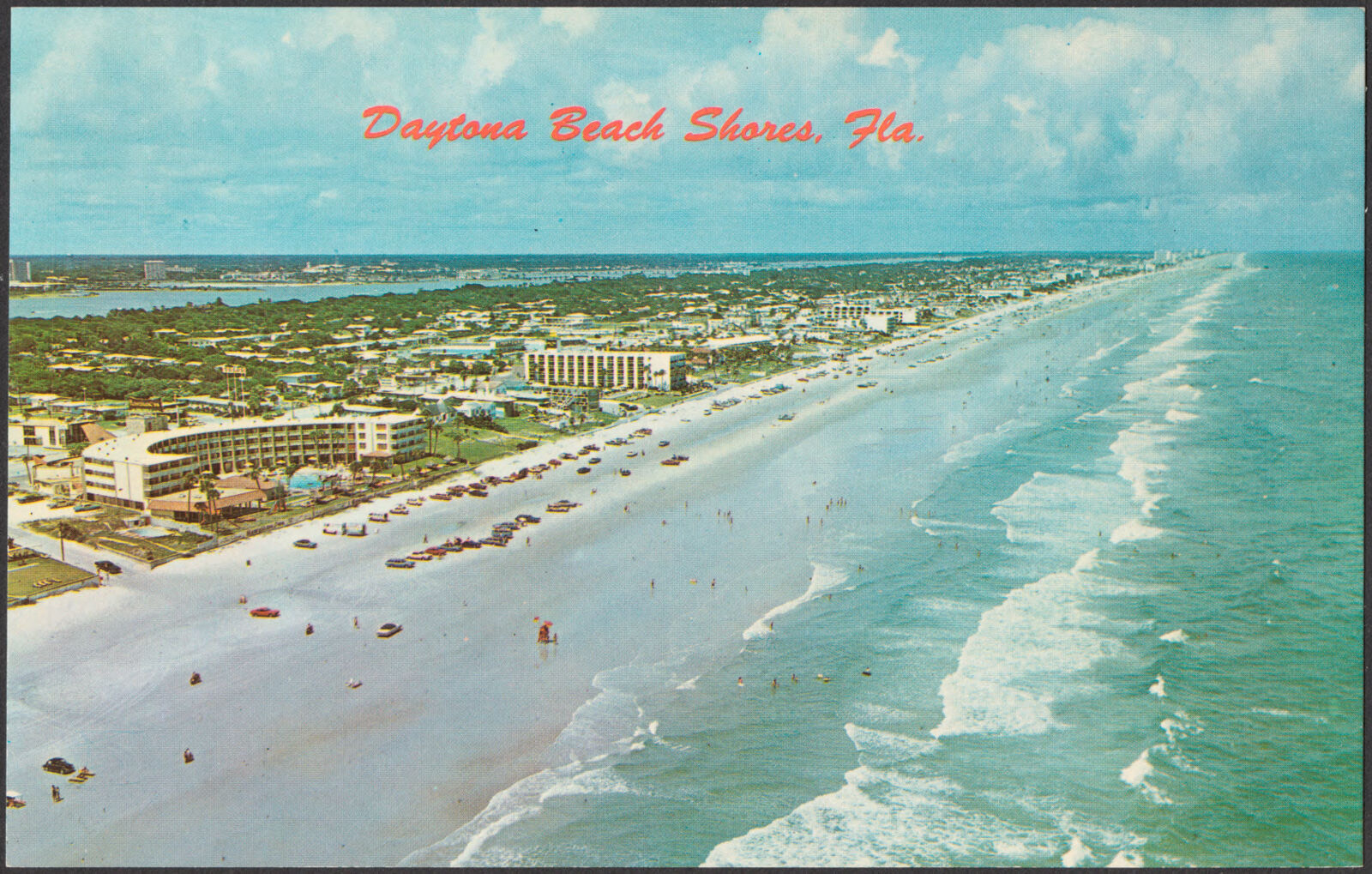
Selected from the Digital Public Library of America's 163 image records catalogued for this county. Every one shown here carries a public-domain status or a licence that permits reuse on a site that carries advertising; non-commercial, share-alike and restricted images are excluded. The selection is spread across the county's towns (at most eight per town), so no single institution's bulk upload crowds out the rest. Each opens the holding library's record, and the complete set at the Digital Public Library of America is one click away.
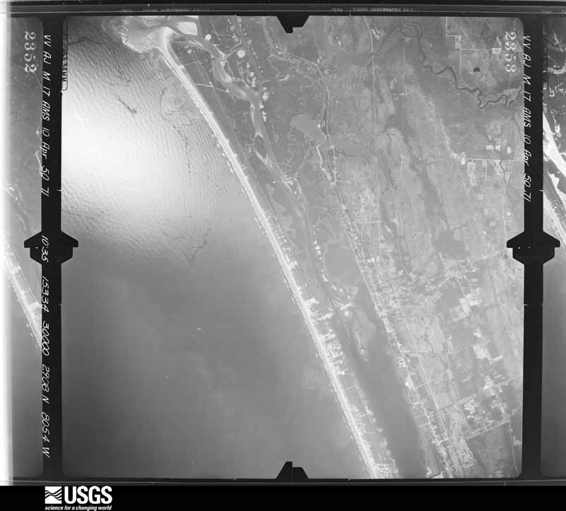
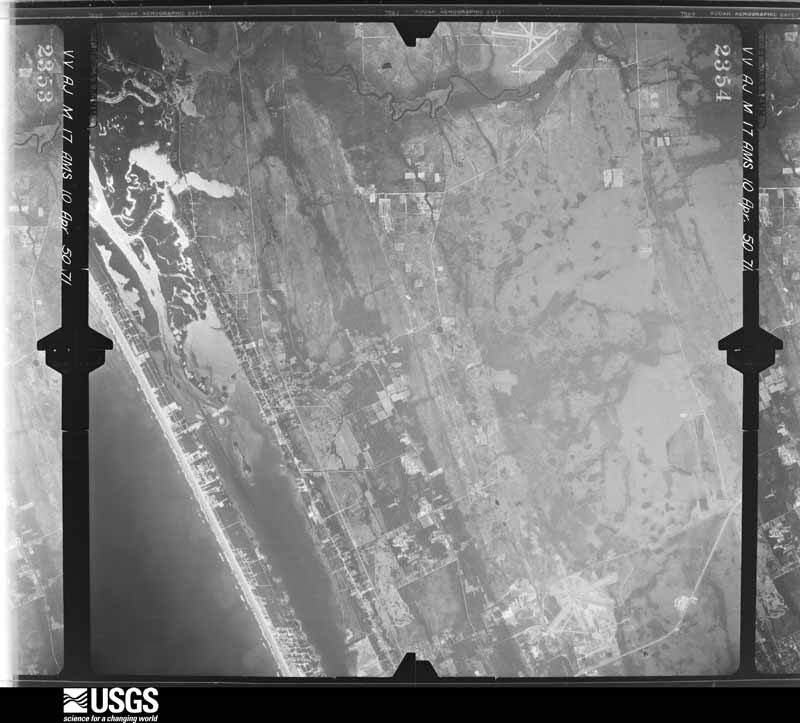
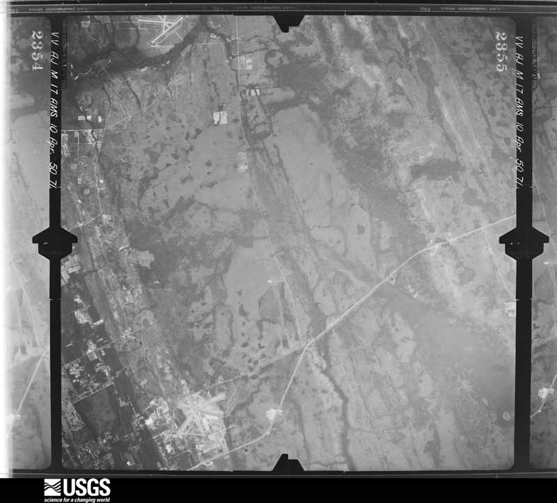
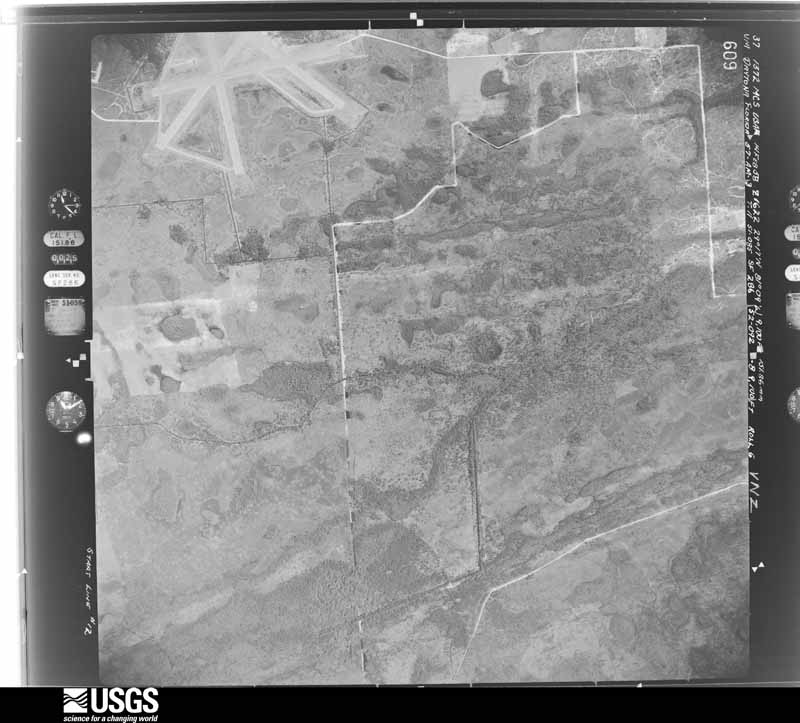
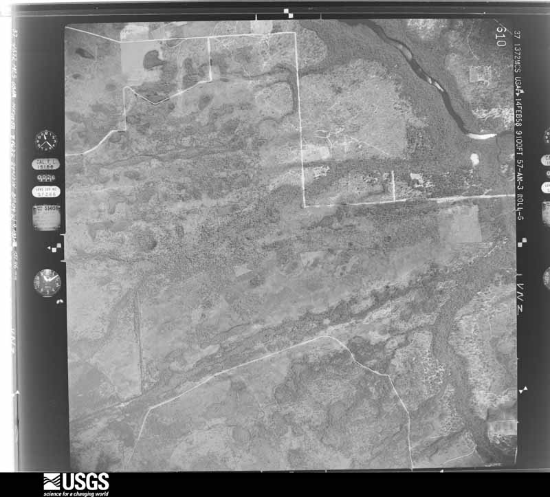
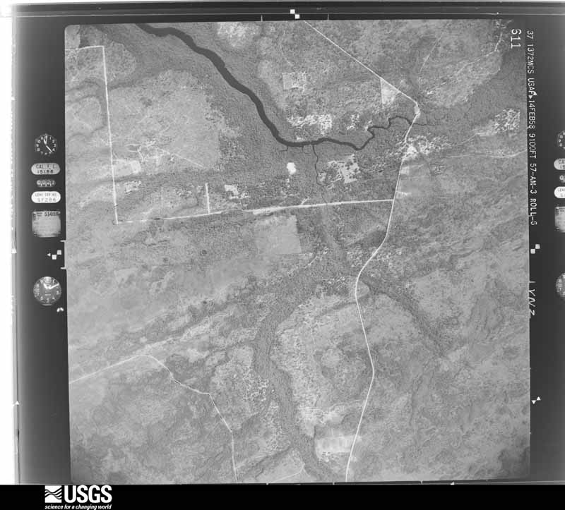
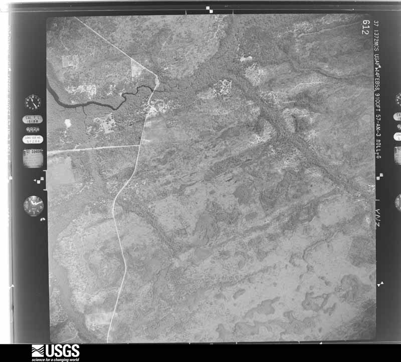
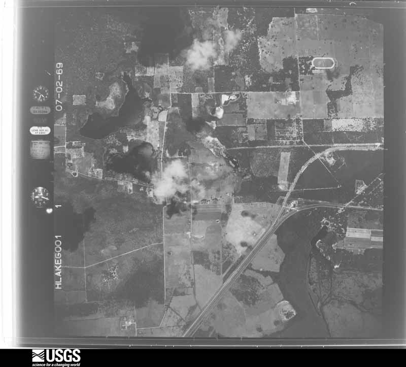
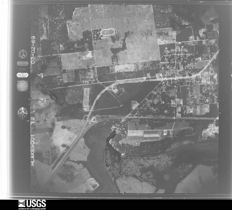
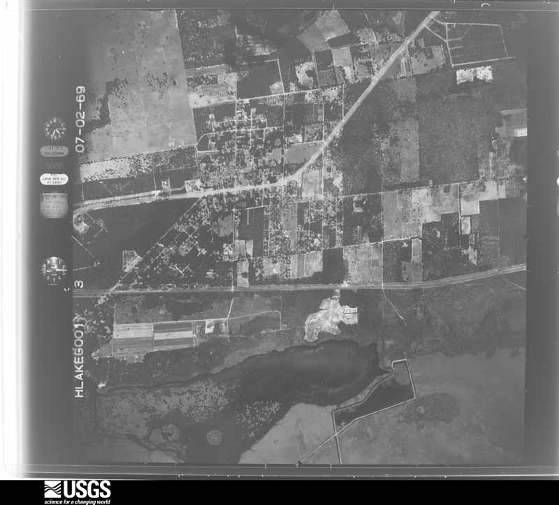
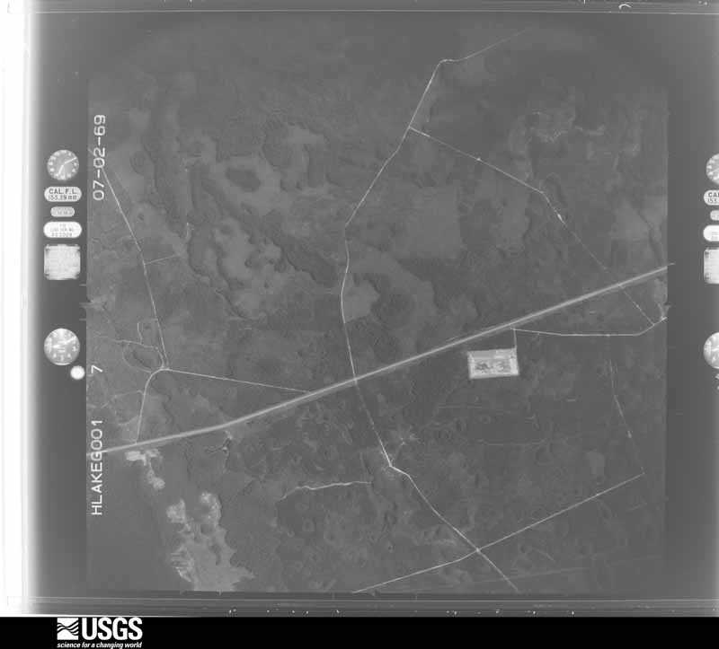
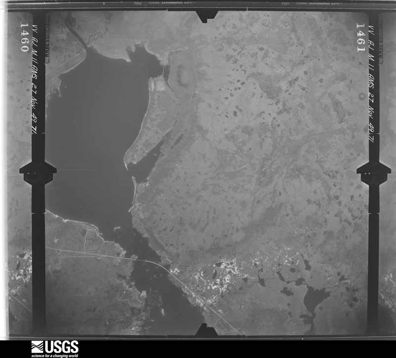
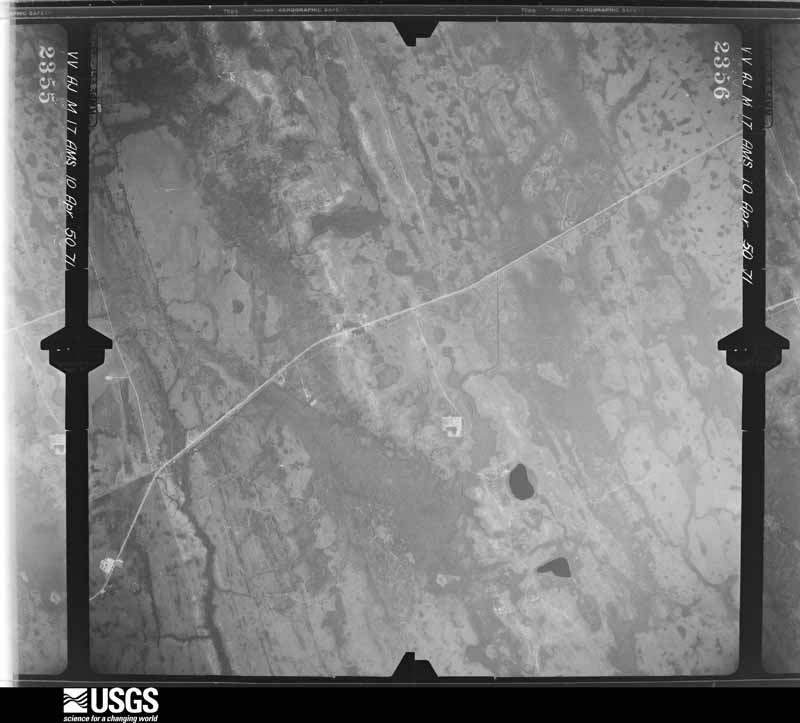
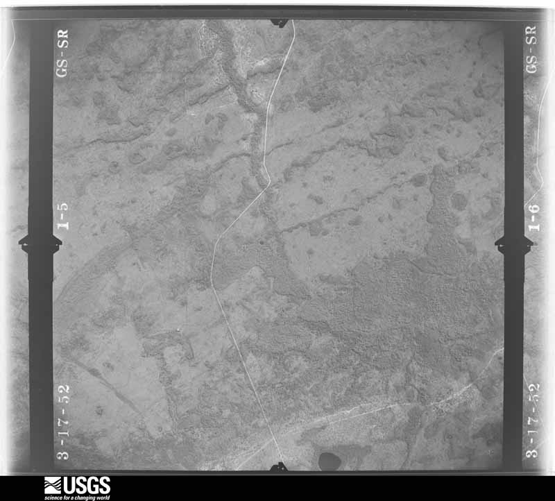
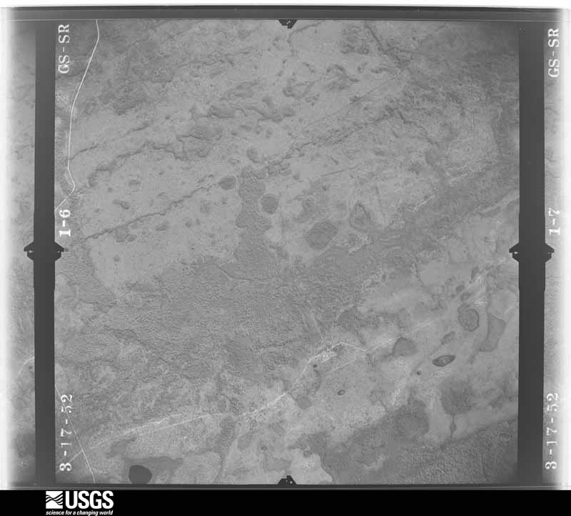
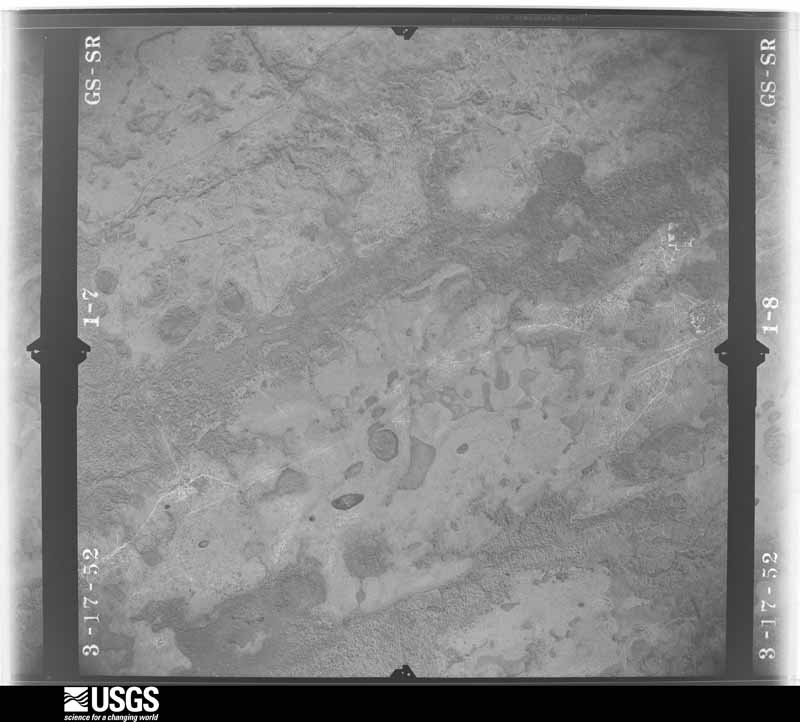
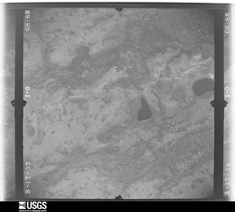
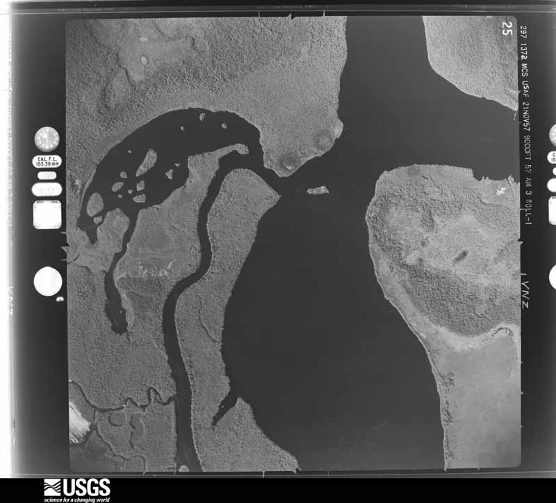
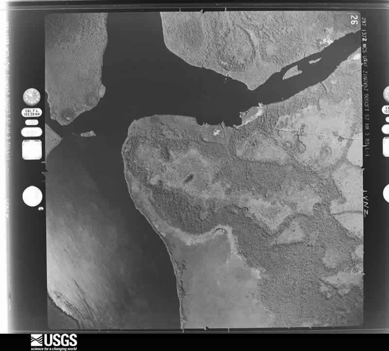
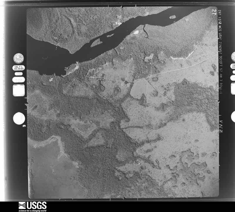
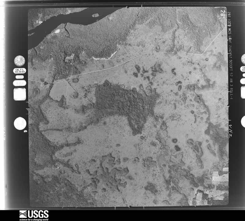
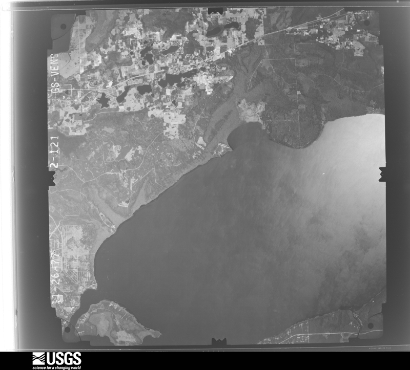
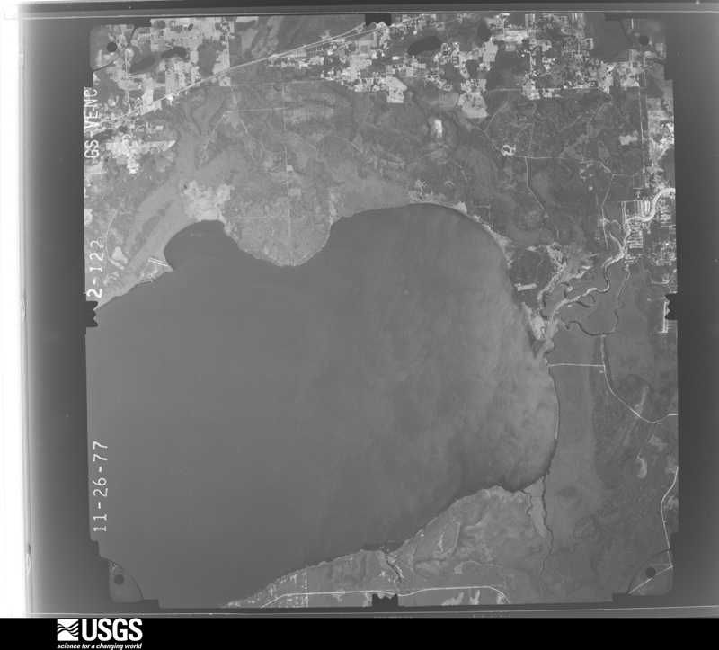
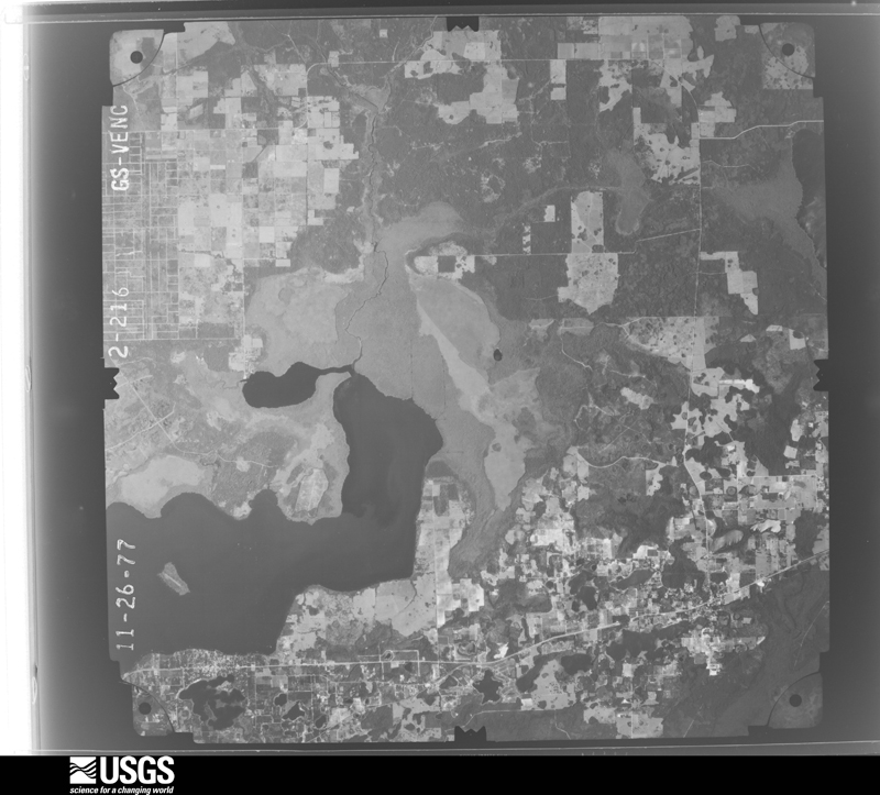
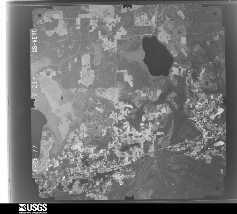
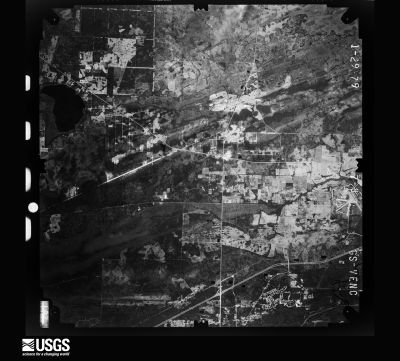
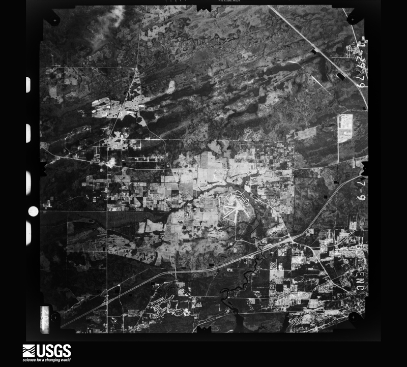
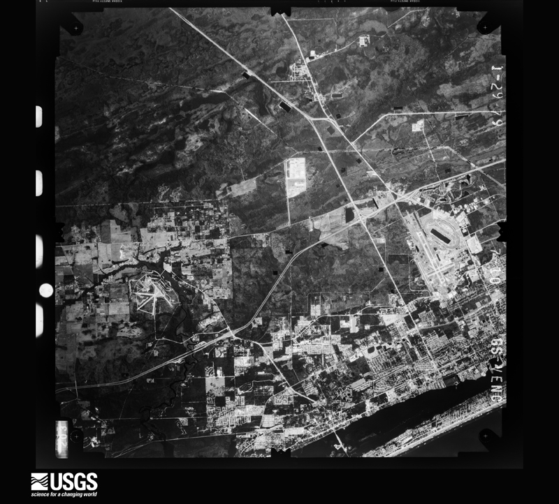
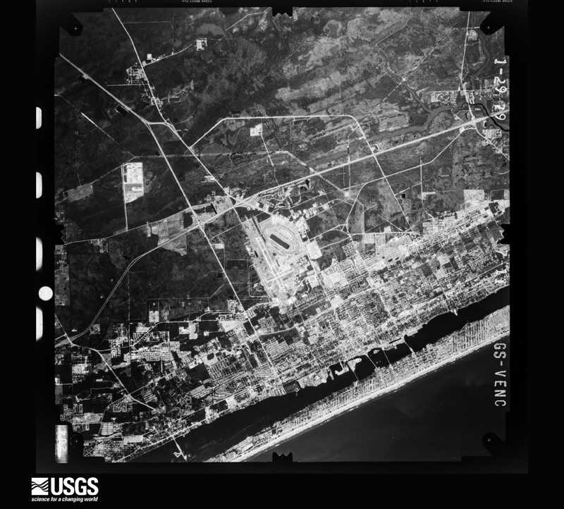
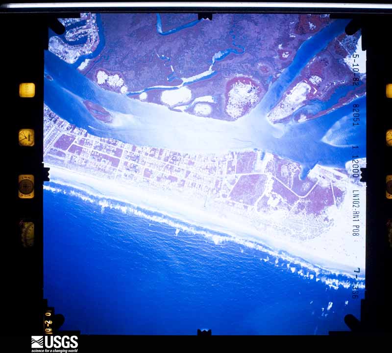
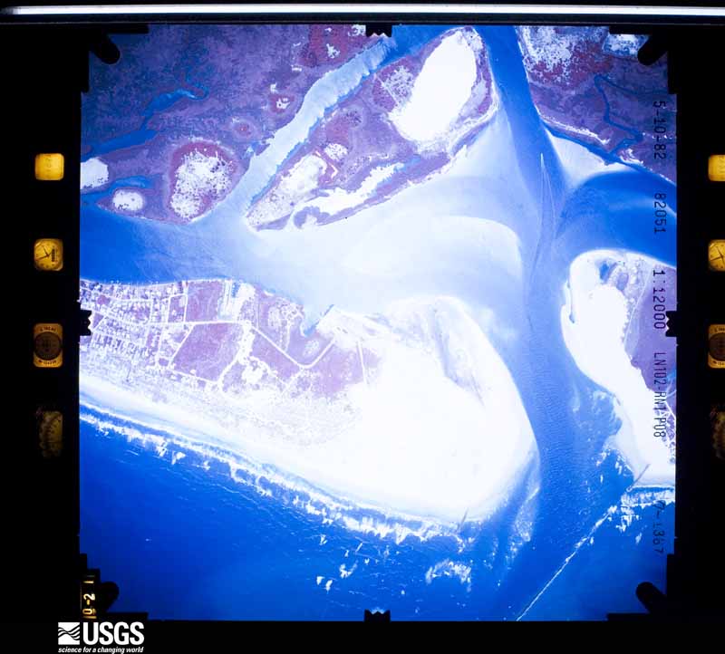
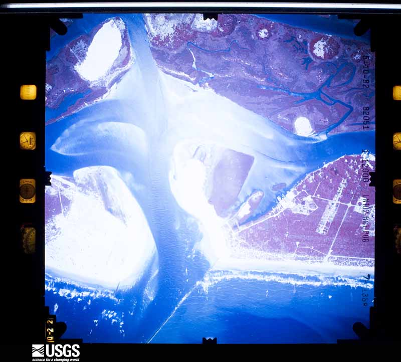
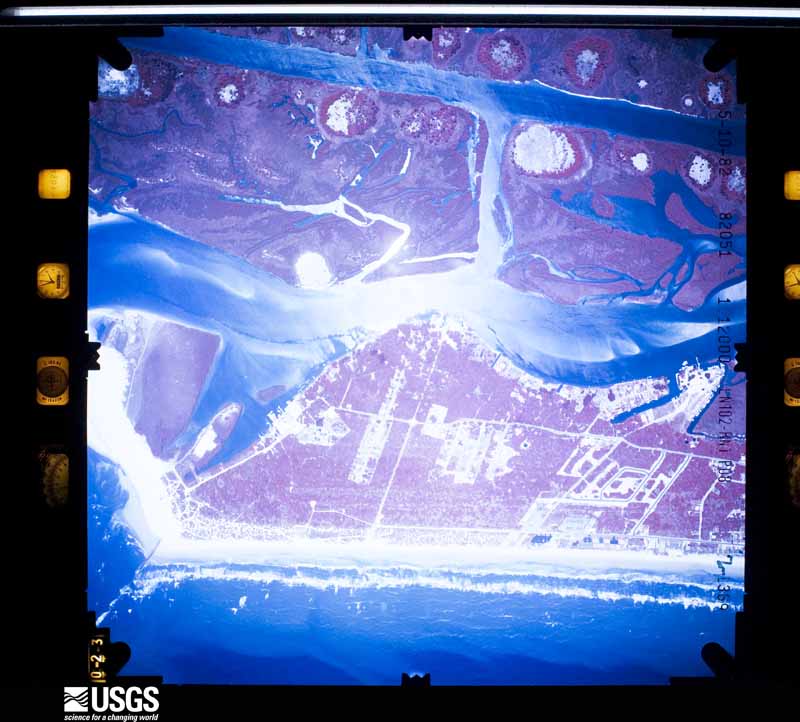
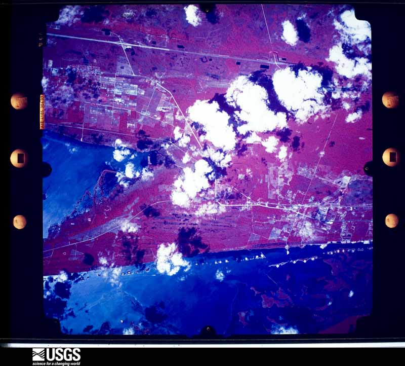
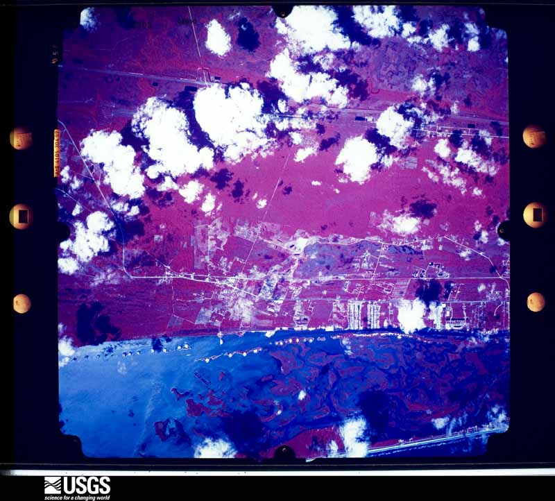
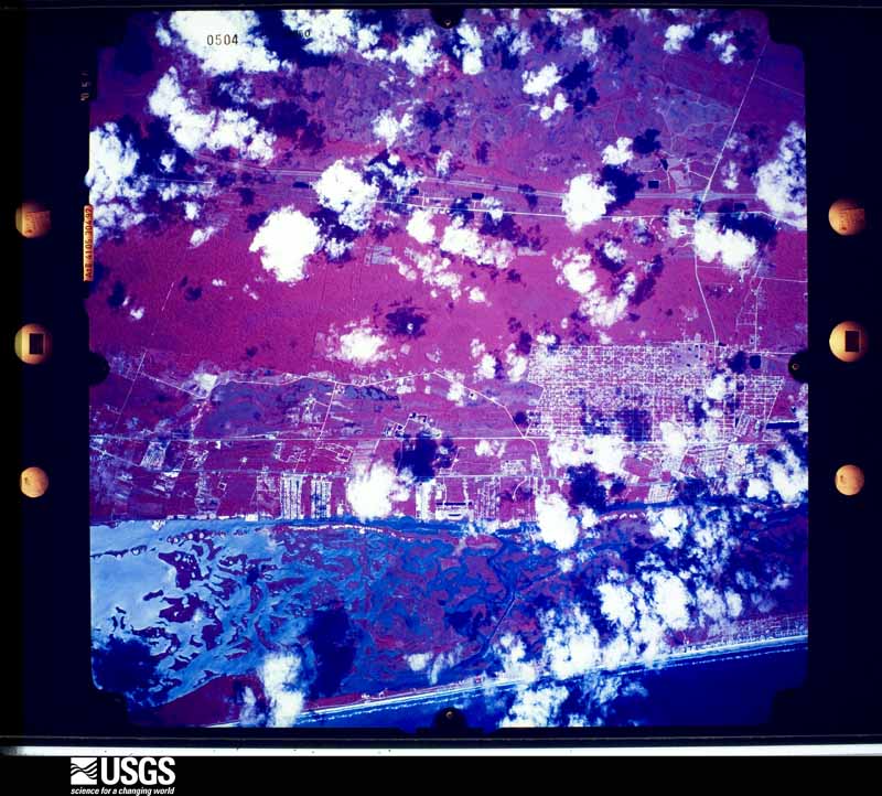
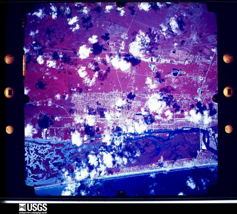
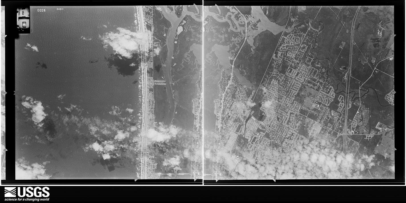
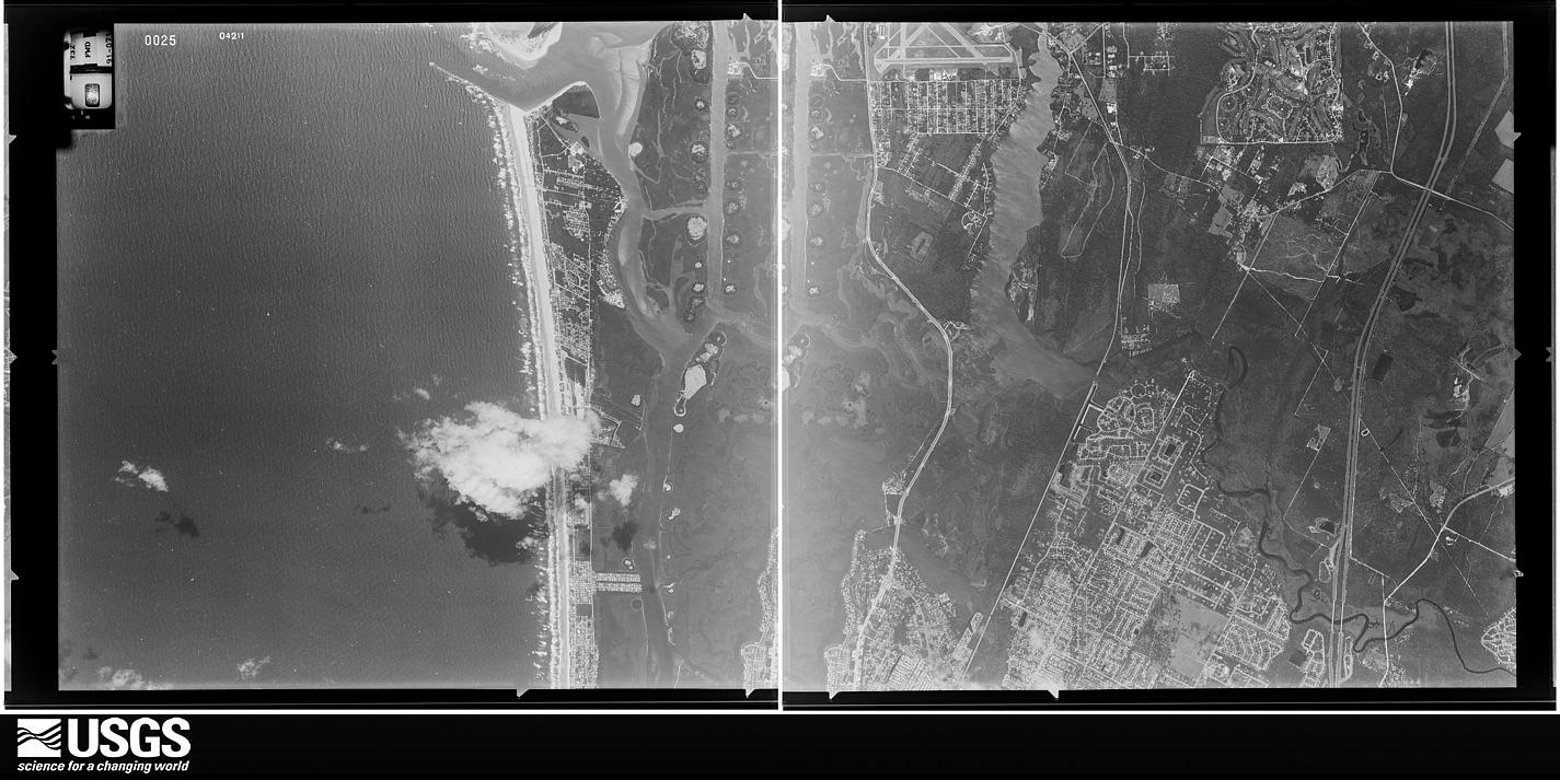
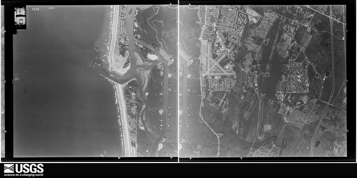
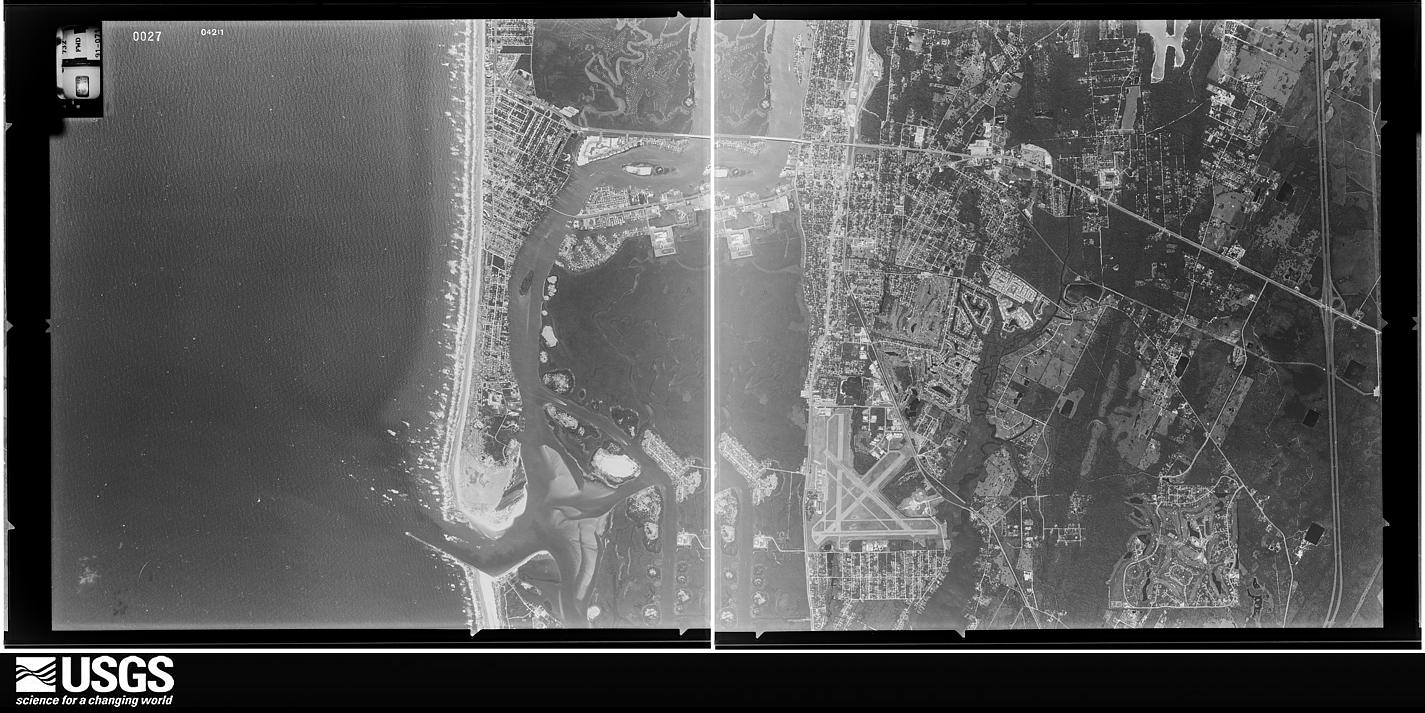
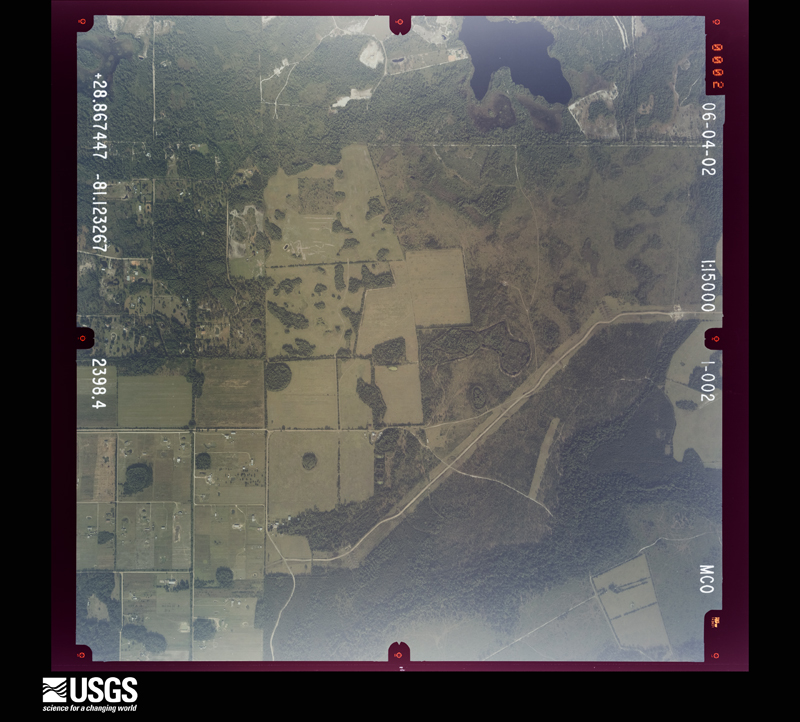
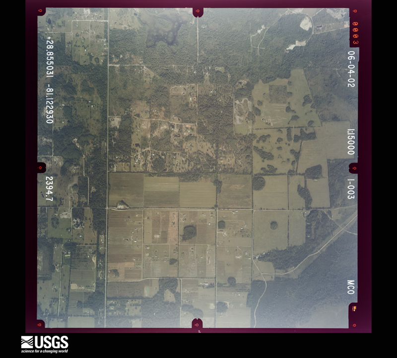
Flown by the U.S. Geological Survey between 1937 and 1989, the Aerial Photo Single Frames collection is the definitive mid-century view of the land: fields, roads and rivers as the camera saw them. The Survey holds 3,347 frames inside the rectangle that bounds this county; the 48 frames below were taken over the county itself, chosen across the decades of flights (at most four a year from that rectangle), so one flight cannot crowd out the rest. The full set is free to browse and download at EarthExplorer under the dataset Aerial Photo Single Frames.
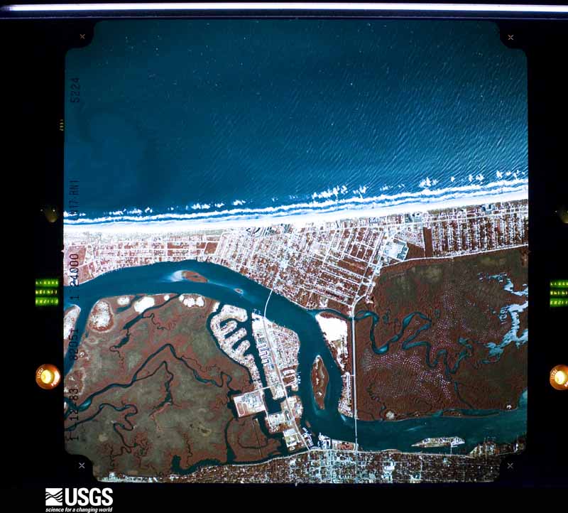
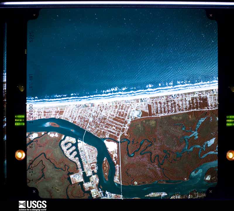
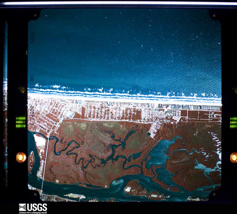
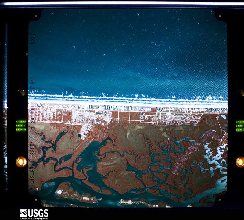
The thermometers that kept this county's weather, and the gages that measured the flow of its streams, as the federal records hold them. The extremes below are measured values from those records, not estimates.
Who lived here in 1950, one enumeration district at a time, as the Census Bureau described each district. Each row opens its official National Archives result, with Population Schedules and ED Maps available there.
Every wildfire the federal occurrence database records inside this county: 4,061 of them, burning about 181,280 acres. 1,865 started naturally and 293 were recorded as arson. Each settlement page carries the fires within five miles of it.
| Reported cause | Fires |
|---|---|
| Natural | 1865 |
| Missing data/not specified/undetermined | 575 |
| Equipment and vehicle use | 531 |
| Arson/incendiarism | 293 |
| Debris and open burning | 214 |
| Railroad operations and maintenance | 210 |
| Misuse of fire by a minor | 178 |
| Recreation and ceremony | 104 |
| Power generation/transmission/distribution | 52 |
| Smoking | 15 |
| Other causes | 13 |
| Fireworks | 11 |
The five largest, by the area the report gives. None of them was recorded as arson.
| Date | Cause | Size | Reported by | Name on the report |
|---|---|---|---|---|
| 20 June 1998 | Natural | 39,000 acres | Florida Forest Service | RODEO ROAD |
| 20 June 1998 | Natural | 13,600 acres | Florida Forest Service | SHUNTZ ROAD |
| 19 June 1998 | Natural | 10,560 acres | Florida Forest Service | ROAD 3 |
| 24 June 1998 | Natural | 10,240 acres | Florida Forest Service | SWAMO DEER RUN |
| 19 June 1998 | Natural | 6,420 acres | Florida Forest Service | not named |
| 6 July 2016 | Natural | 5,420 acres | Lake Woodruff National Wildlife Refuge | MIDNIGHT |
| 28 June 1998 | Natural | 5,000 acres | Florida Forest Service | not named |
| 10 May 2009 | Power generation/transmission/distribution | 4,500 acres | Florida Forest Service | DRAGONFLY (03) |
Every settlement page carries the fires within five miles of it - see the settlement index below.
The NOAA Storm Events Database holds 643 reports for this county, causing 24 deaths, 151 injuries and about $932,410,710 in recorded property damage. Each settlement page carries the reports that name it.
| Kind of event | Reports |
|---|---|
| Thunderstorm Wind | 233 |
| Hail | 186 |
| Tornado | 106 |
| Lightning | 38 |
| Funnel Cloud | 20 |
| Heavy Rain | 20 |
| Flash Flood | 15 |
| Flood | 11 |
| Rip Current | 10 |
| Waterspout | 3 |
| Wildfire | 1 |
The most serious of them, by death, then injury, then recorded damage. The accounts are quoted exactly as the forecast office filed them.
| When | Event | Place named | Harm | What the report says |
|---|---|---|---|---|
| September 2022 | Flood | West Holly Hill | 4 killed, $340,000,000 | Rainfall totals averaging between 10 to 16 inches, with locally higher amounts of up to 20 inches were reported particularly in the coastal part of the county, resulting in widespread residential, street, urban, and poor drainage flooding. ||County drone and helicopter footage combined with on-site surveys captured considerable river and lakeshore flooding, with water entering numerous structures along the St. Johns River near Astor and South Moon Fish Camp, Lake Monroe in Stone Island, and Little Lake near Osteen. The St. Johns River reached record crests at both Astor (4.71 ft. on Oct. 1) and Deland (6.33 ft. on Oct. 11). See separate entry for additional details on significant (flash) flooding event in Daytona Beach, Port Orange, and New Smyrna Beach. ||A 67-year-old resident of New Smyrna Beach died due to rising flood waters in his home after he fell and rescuers were unable to reach him in time (direct). A 72-year-old Deltona man drowned after falling into a flooded canal by his home while attempting to use a hose to drain his pool (direct). A 91-year-old New Smyrna Beach man was discovered in about 6 inches of water in his home by emergency responders (direct). A 79-year-old male from Daytona Beach was found face-down in water in his home (direct).||A county damage assessment indicated 3554 structures affected, 2602 with minor damage, 645 with major damage, and 48 destroyed, mainly due to widespread and historic flooding. The combined effects of Hurricane Ian led to a total estimated damage of approximately $340M. |
| June 2000 | Rip Current | Daytona Beach | 2 killed | Large swells produced strong rip currents on Volusia County Beaches. Two fifteen year old brothers who were visiting Daytona Beach from Georgia were caught in a rip current and drowned. |
| February 1998 | Tornado (F2) | Daytona Beach | 1 killed, 3 hurt, $4,000,000 | The first tornado in a major tornado outbreak set down along Route 92 about 5 miles southwest of Daytona Beach. The category F2 tornado moved about 8 miles to the northeast passing over the junction of Interstate 95 and Interstate 4 and finally lifted in the south part of Daytona Beach west of the Intracoastal Waterway. Six hundred structures were damaged or destroyed. One person was killed in a mobile home and three others were injured. |
| June 2016 | Lightning | Blake | 1 killed, 2 hurt | A woman and man from Georgia were near the waters edge at the 3100 block of South Atlantic Avenue in Daytona Beach Shores when they were struck by lightning from a thunderstorm located about 4 miles to the north. The woman was unconscious when she was transported to the hospital and later died. The man was conscious and also transported to the hospital with injuries. Another woman nearby was also affected by the strike, but was able to walk away and seek treatment on her own. |
| July 2018 | Thunderstorm Wind | Ormond Beach | 1 killed, 1 hurt | Reports from Ormond Beach police and multiple local broadcast media indicated two people were injured when a large tree fell onto them in Ormond Beach. Both men were unloading furniture from a truck in the driveway of a home near Arroyo Parkway when the tree fell, and were transported to a local hospital with injuries. One man suffered a critical head injury during the incident and died the following day (July 23). |
| February 1998 | Tornado (F3) | Osteen | 1 killed, $1,000,000 | The Sanford tornado crossed into Volusia County near Highway 46 and the St. Johns River where it killed a 53 year old man in a recreational vehicle at a fish camp. The tornado continued northeast for 2 miles and dissipated in a rural part of south Volusia County. |
| June 2025 | Lightning | Coronado Beach | 1 killed | Multiple news outlets report that a 29 year old man from Colorado was struck by lightning while standing in ankle deep water on the beach near South Atlantic Ave and 27th Ave in New Smyrna Beach. The man was transported to the hospital in critical condition, but later died. |
| May 2023 | Lightning | Deltona | 1 killed | A 24 year-old man was working on the roof of a home on Sterling Pointe Drive in Deltona when coworkers reported he was struck by lightning, causing him to fall off of the roof. He was transported to a hospital, where he was pronounced deceased. Time estimated via lightning data. |
| July 2022 | Lightning | Mission City | 1 killed | Local broadcast media relayed reports that a 27-year-old man was seriously injured after being struck by lightning on Middlebury Loop in New Smyrna Beach. The victim was doing lawn maintenance when lightning struck a nearby tree, and the lightning jumped to the victim. First responders performed CPR and revived the unresponsive victim at the scene. The man was transported to Halifax Medical Center where he later died from his injuries. |
| June 2019 | Lightning | Ormond Beach Muni Ar | 1 killed | Volusia County Emergency Management and many local broadcast and newspaper media reported that a 45-year-old man from North Carolina was killed after being struck by lightning while riding his motorcycle on Interstate 95. The man was struck near mile marker 271 between State Road 40 and U.S. Highway 1. According to Florida Highway Patrol, when the man was struck by lightning he lost control of the motorcycle and careened off towards the side of the road where he crashed. Troopers announced the man died at the scene. |
| June 2015 | Lightning | Harbor Pt | 1 killed | A 25-year-old male was struck and killed by lightning while working on the roof of a home in the Water's Edge subdivision of Port Orange. |
| September 2005 | Rip Current | Daytona Beach | 1 killed | A 30 year-old man vacationing in Florida from New York drowned in a rip current. |
| October 2004 | Rip Current | Ormond Beach | 1 killed | A 24 year old man visiting from Germany drowned in a rip current at Ormond Beach. |
| October 2004 | Rip Current | Ormond Beach | 1 killed | A 55 year old man drowned in a rip current at Ormond Beach after rescuing his 10 year old son. |
| October 2003 | Rip Current | Daytona Beach | 1 killed | A 70 year old man was swimming alone and was the apparent victim of a rip current. |
| August 2002 | Lightning | Port Orange | 1 killed | A 62 year-old Port Orange man was killed by lightning outside his home. |
| July 2001 | Rip Current | Ponce Park | 1 killed | A 17 year old man drowned near Ponce Inlet when he entered the water to help another person who was struggling in a rip current. |
| June 1999 | Rip Current | Daytona Beach | 1 killed | A 28 year old man drowned when he was pulled away from the shore by a rip current. Lifeguards from Stuart to Daytona Beach reported large numbers of rescues due to rip currents. |
| August 1997 | Rip Current | New Smyrna Beach | 1 killed | A 60 year old German tourist drowned in a rip current at New Smyrna Beach. |
| May 1997 | Rip Current | Daytona Beach Shrs | 1 killed | Numerous strong rip currents occurred along the coast of Volusia County. Beach safety personnel reported 140 people were rescued from the water on May 30 and 31. A 36 year old man drowned in a rip current on the 30th when he attempted to assist his wife who was in the rip current. |
| February 2007 | Tornado (EF3) | Beresford | 42 hurt, $52,000,000 | The tornado that killed 13 people in the Lake Mack area of Lake County moved east across the St. Johns River, crossed into Volusia county at Lake Beresford and moved across Deland as an F3 tornado. It was still moving east northeast at 50 MPH as it damaged 277 and destroyed 106 residences in the Deland area. The tornado finally lifted about eight miles east of Deland along Highway 44. There were no fatalities in Volusia County but 42 people were injured. |
| November 1997 | Tornado (F3) | New Smyrna Beach | 32 hurt, $14,000,000 | no account filed |
| July 1998 | Wildfire | Countywide | 11 hurt, $150,000,000 | no account filed |
| July 2002 | Lightning | Daytona Beach | 8 hurt | Eight spectators were struck and injured by lightning at Daytona Beach International Speedway. Two of the victims were hospitalized. Six were treated and released at the scene. |
| May 1979 | Tornado (F1) | not stated | 6 hurt, $2,500,000 | no account filed |
| March 2001 | Tornado (F1) | Daytona Beach | 5 hurt, $5,000,000 | An F1 tornado and strong downburst winds touched down in the heart of Daytona Beach just west of the Halifax River Lagoon. At least 100 homes and dozens of vehicles were damaged, many due to fallen trees. Boats on trailers were overturned and the roof of a furniture store was destroyed. An airplane was overturned at Daytona Beach Airport. Five people were injured, three were taken to an emergency room. Damage estimates were near $5 million. |
| December 2006 | Tornado (F2) | De Land | 5 hurt, $2,500,000 | An F2 tornado touched down just west of North Stone Street in Deland and moved northeast crossing Highway 17. It moved across the Fernwood mobile home community and continued northeast over Meadowlea Estates mobile home community. It lifted just north of Carter Road. Fifty two residences were destroyed and 162 were damaged. Five people were seriously injured. |
| January 1988 | Tornado (F1) | not stated | 3 hurt, $250,000 | no account filed |
| June 2018 | Lightning | Ellison Acres | 3 hurt | Broadcast Media relayed reports that three people were injured after being struck by lightning at the Smyrna Dunes Park, just south of Ponce Inlet, in New Smyrna Beach. A good samaritan called 911 after finding three people injured on the boardwalk in Smyrna Dunes Park from a lightning strike. The good samaritan helped revive one victim by performing life-saving CPR. Once firefighters arrived they provided medical assistance to the victims, and transported all of them to a local hospital where they were treated for minor injuries. |
| December 2012 | Tornado (EF1) | Hucomer | 2 hurt, $1,700,000 | The tornado began at US Highway 1 in Edgewater and continued northeast through the Terra Mar Village Mobile Home Park to Alice Street and Jones Fish Camp Road, then moved onto the intracoastal river as a waterspout (see 1726 LST waterspout episode). A total of 62 homes were damaged (17 with minor damage and 45 with major damage), impacting carports, awnings, roofs, power poles and lines, and numerous trees. Over 100 trees (many very large) between the mobile home park and the intracoastal river were snapped near the ground or uprooted. Metal from the mobile homes were carried far downstream. The frame of a mobile home was wrapped several times around the base of a tree. The tornado produced high-end EF0 damage within the mobile home park, then strengthened to a high-end EF1 tornado with a widening damage swath along Jones Fish Camp Road and upon approach to the intracoastal waterway. There were two very minor injuries, both treated at the scene. Maximum winds estimated at 90-110 mph. A motorist travelling on US Highway 1 videotaped the tornado crossing the highway in front of him, with debris evident within the circulation as it reached the mobile home park. Several other citizens and a public safety official also witnessed the tornado. DI3 DOD4 EXP; DI3 DOD8 LB-EXP; DI27 DOD4 EXP; DI28 DOD4 EXP. |
| September 2007 | Lightning | Ponce Park | 2 hurt | A small boat was struck by lightning in the Halifax River. The two people on board were transported to a local hospital with minor injuries. |
| July 2004 | Lightning | Pierson | 2 hurt | Two convenience store workers were briefly hospitalized after being injured by a lightning strike while working in the store kitchen. |
| June 2004 | Lightning | Daytona Beach | 2 hurt | Two spectators suffered minor injuries from a lightning strike at Daytona Beach International Speedway. |
| August 2020 | Tornado (EF2) | Fatio | 1 hurt, $8,010,000 | A National Weather Service Damage Survey confirmed that a strong tornado moved through North DeLand along a 4.6 mile long path with peak winds estimated between 110-120 mph. The tornado began around the intersection of W Minnesota Ave and N Ridgewood Ave, near the West Minnesota Estates neighborhood. The tornado generally tracked east-northeast across the city resulting in many downed medium to large tree branches, downed power lines, and numerous large trees were uprooted, which led to many local and major roadways being blocked. Many homes and vehicles suffered moderate to major damage as large tree branches or entire trees fell on them.||The tornado briefly intensified just southwest of the intersection of W Plymouth Avenue and N Spring Garden Avenue where EF-1 damage occurred. Two storage facility buildings suffered major roof collapse with winds estimated at 80-90 mph. The tornado continued to produce EF-0 damage along and south of W Plymouth Avenue as it moved towards Woodland Blvd. ||As the tornado reached Woodland Blvd. it quickly intensified and reached its widest point at approximately 550 yards. Extensive EF-1 damage was seen from Woodland Blvd. east to Amelia Avenue, and from E Kentucky Ave south to E Woodmont Road, with winds estimated between 90-100 mph. Damage was most significant along E Washington Ave between N Alabama Ave and N Amelia Ave, just east of US Hwy 17 where winds are estimated between 110-120 mph. Two homes had total roof loss, with a few others receiving moderate to major roof and structural damage. Several healthy tree trunks were found snapped and twisted near the base, with numerous smaller trees snapped midway. Videos taken along N Woodland Blvd revealed that a box delivery truck was tipped over and a car was flipped.||The tornado dissipated just east of the Lake Lindley subdivision between Jacobs Road and Lake Talmadge Drive where many large branches were snapped near the tops of the trees. ||There was one injury and no fatalities reported. Preliminary damage estimates from the Volusia County Property Appraiser indicate total damage of approximately $8,010,339. There were 163 damaged structures, with 49 sustaining minor damage, 40 sustaining major damage, and 5 that were destroyed. |
| July 2009 | Tornado (EF0) | Blake | 1 hurt, $2,500,000 | A NWS ground survey of damage revealed a weak EF0 tornado touched down in the extreme northeast portion of the Lighthouse Point mobile home community. The tornado continued south-southwest and strengthened to a strong EF0 tornado within the Laurelwood manufactured home community, then lifted in the extreme northwest portion of the Brandy Hills subdivision. Light debris (insulation, styrofoam) was deposited up to 2 miles downstream (south-southeast) from where the tornado lifted. 154 homes sustained damage: 3 uninhabitable, 60 major damage, 43 minor damage, 48 very minimal damage. One man sustained a minor injury, due to cuts from broken glass. EF assessment: DI3, DOD4, LB-EXP. |
| March 2001 | Thunderstorm Wind | Daytona Beach | 1 hurt, $30,000 | Strong microburst winds hit the barrier island in Daytona Beach destroying a large tent and a beach tollbooth. One person was injured. |
| February 1986 | Tornado (F0) | not stated | 1 hurt, $25,000 | no account filed |
| August 1978 | Tornado (F1) | not stated | 1 hurt, $25,000 | no account filed |
| July 2000 | Thunderstorm Wind | Deltona | 1 hurt, $12,000 | Thunderstorm winds blew down power lines and trees in the Deltona Area. One woman was injured when a tree fell on her car as she was driving in Deltona. |
| August 1971 | Tornado (F2) | not stated | 1 hurt, $2,500 | no account filed |
| July 2022 | Lightning | Mission City | 1 hurt | Local broadcast media relayed reports that a 66-year-old man was injured after lightning struck nearby at the AutoZone on State Road 44 in New Smyrna Beach. Bystanders called first responders after seeing the man on the ground. The man was taken to Advent Health where he was treated for minor injuries and later released. |
| August 2018 | Lightning | De Land | 1 hurt | A woman was standing in a Denny's parking lot talking with a coworker when she was struck by lightning. The lightning knocked her unconscious and she was in serious condition when taken to a local hospital. An eyewitness reported that it was hardly raining and that the strike came out of nowhere. |
| January 2017 | Lightning | Ellison Acres | 1 hurt | A line of strong thunderstorms moved quickly east across Volusia County early in the morning, crossing Ponce Inlet prior to sunrise. A 55 year old male was injured when lightning struck the fishing pole he was holding. The injured man called first responders and was then transported to a local hospital. The victim suffered burns on his right arm, hand and abdominal area and was reported in stable condition several days after the incident. |
| July 2017 | Lightning | Ormond By The Sea | 1 hurt | A 31-year old female kayaker was standing in a shallow area of the Halifax River near High Bridge Road in Ormond-by-the-Sea when lightning struck close by, resulting in injuries. The woman was conscious and talking when a Sheriff deputy arrived and she was transported to a nearby hospital. |
| August 2016 | Lightning | Ponce Park | 1 hurt | A 55 year old Daytona Beach man was struck by lightning while riding an all-terrain vehicle near Sliver Beach Avenue on Daytona Beach. The man was transported to a local medical center where he was treated for minor injuries and released. |
| June 2015 | Lightning | Blake | 1 hurt | An eleven year old boy from Georgia was struck by lightning while fishing in the ocean in waist deep water. The boy was transported to a nearby hospital and admitted in serious condition. After several days in the hospital, he was released to a rehabilitation center and was recovering. |
| July 2009 | Lightning | Holly Hill | 1 hurt | A man was struck by lightning outside his Holly Hill home while gardening during the beginning of an approaching storm. The man was knocked unconscious for several minutes by the strike and awoke bleeding, and with a numb neck and right leg from the knee down. He also sustained burns inside his mouth and in his eyes. After gaining consciousness, he crawled into his house and his wife called 911. He was then rushed to a local hospital emergency room. |
| August 2009 | Lightning | South Peninsula | 1 hurt | A man sitting next to a tree in the 1800 block of Biscayne Avenue in South Daytona Beach was struck indirectly by lightning. The man refused treatment at the scene, but was later transported to a hospital by a friend and was admitted in stable condition. |
| August 2009 | Lightning | (Dab)Daytona Beach Airport | 1 hurt | A woman was struck by lightning within the 1600 block of Dunn Avenue in Daytona Beach. She was in her apartment talking on the telephone at the time of the strike. The woman was transported to a hospital and was admitted in stable condition. |
| May 2006 | Lightning | De Bary | 1 hurt | A woman carrying a child outside was struck by lightning. The child was uninjured. The woman was transported to a hospital in critical condition. |
| May 2005 | Lightning | Edgewater | 1 hurt | A 27 year old man was seriously injured by lightning while in a wooded area near Edgewater. |
| August 2004 | Tornado (F0) | Daytona Beach Shrs | 1 hurt | A waterspout associated with the outer rainbands of Hurricane Charley moved off the Atlantic over Daytona Beach Shores and tore the roof off a home on the barrier island injuring an elderly woman. |
| June 1997 | Rip Current | Daytona Beach | 1 hurt | A large number of rip currents formed along the coast of Volusia County. The county beach patrol pulled 86 people from the surf. One 17 year old boy was hospitalised. |
| August 1997 | Lightning | Edgewater | 1 hurt | Lightning knocked a plumber unconscious while he was under a mobile home. He later made a full recovery. |
| March 1991 | Hail | not stated | 1 hurt | no account filed |
| October 2024 | Flood | Oak Hill | $240,000,000 | Volusia County Emergency Management reported significant urban, street, and low-lying flooding as a result of 6 to 12 inches of rain in association with Hurricane Milton. A period of very heavy rainfall rates associated with the core of the storm led to flash flooding during the overnight period (Oct 9 - 10).||The heavy rain that fell as a result of the storm also led to a long-term river flood event along the St. Johns with the river near Geneva entering major flood on Oct 14, peaking at 10.15 feet on Oct 15. At Deland, the river rapidly rose to major flood stage on Oct 11, peaking at 5.49 ft on Oct. 14. Downstream at Astor, the river was already in minor flood stage at the beginning of the event and quickly rose to major the morning of Oct 10, peaking at 4.81 ft on Oct 12, a new record for the site. |
| May 2009 | Flood | Deltona | $68,600,000 | Multiple rounds of heavy rainfall over five days lead to several feet of standing water in many areas of eastern Volusia County. Rainfall totals reached 18 to 28 inches in several coastal areas. In addition to the accumulation of rain water, onshore flow and high tides over northeast Florida restricted water from draining into the intracoastal waterways, leading to a persistence of high water levels in many neighborhoods. Damage surveys determined 1531 homes were damaged in the county nearly 69 million dollars in damages and expenses. One indirect fatality was attributed to the flooding, when an intoxicated man fell into high waters and drowned. The man was last seen in Daytona Beach on May 21, and his body was discovered in Holly Hill on May 23. |
| August 2008 | Flash Flood | Edgewater | $13,000,000 | As Tropical Storm Fay drifted north in the Volusia County off shore waters, hours of torrential rain fell across southern Volusia county. Close to 200 homes were flooded. Damage was near $13 million. |
| February 2007 | Tornado (EF1) | (Evb)New Smyrna Beach Airport | $6,000,000 | The same mesocyclone that produced the previous tornadoes in Lake and Volusia County now moved over New Smyrna Beach. The F1 tornado first touched down east of Interstate 95 along Turnbull Bay Road and moved rapidly east where it lifted at the Intracoastal Waterway just north of New Smyrna Beach Airport. The tornado damaged roofs, car ports, garage doors and pool screens in the area. There were no injuries reported. |
| September 2014 | Flash Flood | Holly Hill | $3,090,000 | A persistent area of heavy rain trained across Holly Hill, Daytona Beach, and Port Orange during the early morning hours until around sunrise. Rainfall totals reached 8 to 12 inches, resulting in significant urban and roadway flooding. Retention ponds and drainage canals overflowed and rising water entered 98 single family homes, 10 multi-family homes and 6 businesses. Thirty-five of these structures experienced minor damage and the remaining 79 were affected. Estimated damage was over 3 million dollars. No injuries were reported. |
The Survey's mineral resources record lists 5 workings inside this county. 2 still produce and 3 are closed or unrecorded. Each settlement page carries the workings within five miles of it.
| Commodity | Workings |
|---|---|
| Limestone, General | 2 |
| Sand | 2 |
| Sand and Gravel, Construction | 1 |
The least common of them first, because a county's hundredth gravel pit says nothing its first ten did not.
| Where | Site | Commodity | Status | Recorded |
|---|---|---|---|---|
| Barbour Sand and Gravel Pit | Sand and Gravel, Construction | Past Producer | ||
| Dot Deland - Edgewater Mine | Sand | Unknown | ||
| Jack W. Rowe - Rowe Borrow Pit | Sand | Unknown | ||
| Volusia Co. Rd. and Bridge - Holly Hills Pit | Limestone, General | Producer | Limestone | |
| Volusia Co. Rd. and Bridge - Oak Hill Pit | Limestone, General | Producer | Limestone |
Named settlements recorded in the Geographic Names Information System, each with the topographic sheets covering it. Villages, hamlets and abandoned places alike. Each is shown with the nearest named watercourse or landform and the survey quadrangle it falls on.
Central Volusia census division · 32168 · On Lake Ashby Creek · Lake Ashby quadrangle
12 sheets, 1955 to 1979
DeBary-Orange City census division · 32713 · On Butchers Bend · Sanford quadrangle
14 sheets, 1955 to 1979
New Smyrna Beach census division · 32169 · Near Cedar Island · Ariel quadrangle
11 sheets, 1950 to 1979
DeBary-Orange City census division · 32763 · Near Pine Island · Orange City quadrangle
14 sheets, 1955 to 1979
Pierson-Seville census division · 32102 · Near Lungren Island · Astor quadrangle
9 sheets, 1954 to 1978
DeLand census division · 32720 · On Zeigler Dead River · Lake Woodruff quadrangle
10 sheets, 1954 to 1999
Daytona Beach census division · 32114 · Daytona Beach quadrangle
13 sheets, 1952 to 1978
South Peninsula census division · 32118 · Near Pelican Island · Port Orange quadrangle
14 sheets, 1937 to 1978
Central Volusia census division · 32124 · Daytona Beach NW quadrangle
11 sheets, 1954 to 1978
DeLand census division · 32724 · Daytona Beach SW quadrangle
11 sheets, 1954 to 1978
Pierson-Seville census division · 32130 · Lake Dias quadrangle
9 sheets, 1954 to 1978
DeBary-Orange City census division · 32713 · On DeBarry Creek · Orange City quadrangle
14 sheets, 1955 to 1979
Pierson-Seville census division · 32180 · Welaka SE quadrangle
10 sheets, 1954 to 1978
New Smyrna Beach census division · 32132 · Edgewater quadrangle
12 sheets, 1950 to 1979
New Smyrna Beach census division · 32169 · Near Orange Island · Ariel quadrangle
11 sheets, 1950 to 1979
North Peninsula census division · 32176 · Ormond Beach quadrangle
13 sheets, 1937 to 1978
Deltona census division · 32725 · On DeBarry Creek · Sanford quadrangle
14 sheets, 1955 to 1979
DeBary-Orange City census division · 32713 · On Butchers Bend · Sanford quadrangle
14 sheets, 1955 to 1979
New Smyrna Beach census division · 32168 · New Smyrna Beach quadrangle
16 sheets, 1937 to 1978
South Peninsula census division · 32118 · Near Pelican Island · Port Orange quadrangle
14 sheets, 1937 to 1978
Port Orange census division · 32127 · On Dead End Creek · New Smyrna Beach quadrangle
16 sheets, 1937 to 1978
New Smyrna Beach census division · 32168 · On Rockhouse Creek · New Smyrna Beach quadrangle
16 sheets, 1937 to 1978
Central Volusia census division · 32168 · On Lake Ashby Creek · Lake Ashby quadrangle
12 sheets, 1955 to 1979
New Smyrna Beach census division · 32168 · New Smyrna Beach quadrangle
16 sheets, 1937 to 1978
Ormond Beach census division · On Bulow Creek · Flagler Beach East quadrangle
12 sheets, 1937 to 1978
Ormond Beach census division · 32174 · Favoretta quadrangle
14 sheets, 1937 to 1978
New Smyrna Beach census division · 32168 · On Hunter Creek · New Smyrna Beach quadrangle
16 sheets, 1937 to 1978
No longer a settlement
New Smyrna Beach census division · 32168 · Near Chicken Island · New Smyrna Beach quadrangle
16 sheets, 1937 to 1978
New Smyrna Beach census division · 32759 · Near Bull Hill · Oak Hill quadrangle
14 sheets, 1949 to 1979
DeBary-Orange City census division · 32763 · Orange City quadrangle
14 sheets, 1955 to 1979
DeBary-Orange City census division · 32763 · Orange City quadrangle
14 sheets, 1955 to 1979
North Peninsula census division · 32176 · On Tomoka River · Ormond Beach quadrangle
13 sheets, 1937 to 1978
New Smyrna Beach census division · 32141 · Near Cedar Island · Ariel quadrangle
11 sheets, 1950 to 1979
Central Volusia census division · 32764 · On Underhill Branch · Osceola quadrangle
14 sheets, 1949 to 1979
Port Orange census division · 32129 · Daytona Beach quadrangle
13 sheets, 1952 to 1978
South Peninsula census division · 32127 · On Live Oak Creek · New Smyrna Beach quadrangle
16 sheets, 1937 to 1978
South Peninsula census division · 32127 · On Halifax River · New Smyrna Beach quadrangle
16 sheets, 1937 to 1978
Port Orange census division · 32127 · Near Pelican Island · Port Orange quadrangle
14 sheets, 1937 to 1978
North Peninsula census division · 32118 · Daytona Beach quadrangle
13 sheets, 1952 to 1978
Port Orange census division · 32119 · Near Pelican Island · Daytona Beach quadrangle
13 sheets, 1952 to 1978
New Smyrna Beach census division · 32168 · On Turnbull Creek · New Smyrna Beach quadrangle
16 sheets, 1937 to 1978
New Smyrna Beach census division · 32168 · New Smyrna Beach quadrangle
16 sheets, 1937 to 1978
DeLand census division · 32720 · DeLand quadrangle
10 sheets, 1954 to 1978
No longer a settlement
Ormond Beach census division · 32174 · Ormond Beach quadrangle
13 sheets, 1937 to 1978
Pierson-Seville census division · 32102 · Near Morrison Island · Astor quadrangle
9 sheets, 1954 to 1978
South Peninsula census division · 32127 · Port Orange quadrangle
14 sheets, 1937 to 1978
The vanished settlements of Volusia County: the places named above that are no longer on the map.