Block
BlockFrom the record
One of 51 National Register listings published here for St. Johns County · listed in 2024 · category: Building.
Sources: the National Register database, National Park Service
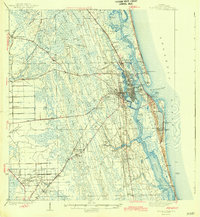
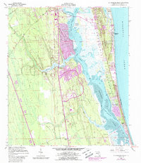
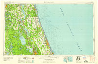
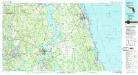
Listed on the National Register of Historic Places in 2024. 7 historic topographic surveys show this location, the earliest from 1937.
One of 51 National Register listings published here for St. Johns County · listed in 2024 · category: Building.
Sources: the National Register database, National Park Service
Regional context, not property-specific evidence. The federal wildfire occurrence database lists 296 fires within 5 miles of Henry S. O'Brien Estate between 1992 and 2020, burning about 9,033 acres in total. 86 started naturally. 41 were recorded as arson. Distance is straight-line from the map coordinates, so a fire counted here may appear on a neighbouring settlement's page as well.
| Reported cause | Fires |
|---|---|
| Natural | 86 |
| Equipment and vehicle use | 56 |
| Arson/incendiarism | 41 |
| Missing data/not specified/undetermined | 31 |
| Misuse of fire by a minor | 27 |
| Recreation and ceremony | 21 |
| Debris and open burning | 14 |
| Railroad operations and maintenance | 14 |
| Power generation/transmission/distribution | 3 |
| Smoking | 2 |
| Fireworks | 1 |
The most recent of them, most recent first, with the day each was reported and the service that recorded it.
| Date | Cause | Size | Reported by | Name on the report |
|---|---|---|---|---|
| 6 September 1999 | Natural | under an acre | Florida Forest Service | not named |
| 5 September 2000 | Natural | under an acre | Florida Forest Service | not named |
| 4 September 1999 | Missing data/not specified/undetermined | 4.0 acres | Florida Forest Service | not named |
| 27 September 1993 | Natural | 75 acres | Florida Forest Service | not named |
| 26 September 1993 | Natural | 75 acres | Florida Forest Service | not named |
| 19 September 1993 | Equipment and vehicle use | under an acre | Florida Forest Service | not named |
| 15 September 2011 | Debris and open burning | 1.0 acres | Florida Forest Service | CHERRY TREE RD (55) |
| 1 September 1999 | Equipment and vehicle use | 5.0 acres | Florida Forest Service | not named |
Regional context, not property-specific evidence. The federal mineral resources record lists 2 workings within 5 miles of Henry S. O'Brien Estate: 2 past producers. None of them still produces. What was taken out: Stone, Crushed/Broken. Distance is straight-line from the map coordinates, so a quarry counted here may appear on a neighbouring settlement's page as well.
| Where | Site | Commodity | Status | Recorded |
|---|---|---|---|---|
| Anastasia Limestone Quarry | Stone, Crushed/Broken | Past Producer | ||
| Mclead Limestone Quarry | Stone, Crushed/Broken | Past Producer |
United States Geological Survey topographic sheets whose coverage includes this point. Matched by taking the middle of the area the National Park Service maps for this listing, then testing that coordinate against the published boundary of every sheet.
Other National Register properties close enough to walk or drive between, ordered by distance from this one. Both positions come from the same geocoding pass that matched these properties to their map sheets.
| Photograph | Property | Distance | Listed |
|---|---|---|---|
| Moultrie Church | 2.1 miles | 2014 | |
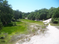 | Spanish Coquina Quarries | 3.6 miles | 1972 |
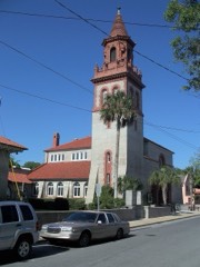 | Grace United Methodist Church | 3.7 miles | 1979 |
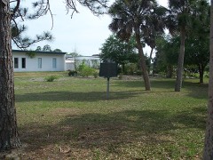 | Sanchez Powder House Site | 4.0 miles | 1972 |
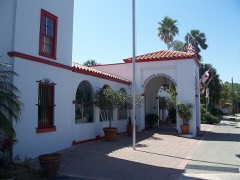 | St. Augustine Alligator Farm Historic District | 4.0 miles | 1992 |
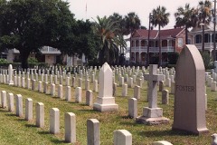 | St. Augustine National Cemetery | 4.3 miles | 2016 |
| National Archives record | The nomination case file for reference 100010928 in Record Group 79. |
| St. Johns County | All 51 listed properties in this county. |