BlockBefore
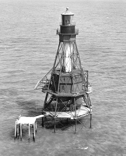
Photograph of American Shoal Light
Photograph by USCG, Public domain. Via Wikimedia Commons.

American Shoal Light

Built in 1880. Listed on the National Register of Historic Places in 2011. 6 historic topographic surveys show this location, the earliest from 1921.

From the record

“The American Shoal Light is located east of the Saddlebunch Keys, just off Sugarloaf Key, close to Looe Key, in Florida, United States. It was completed in 1880, and first lit on July 15, 1880.”

Wikipedia article American Shoal Light, CC BY-SA 4.0.

One of 50 National Register listings published here for Monroe County · listed in 2011 · category: Structure · built in 1880.

Sources: the Wikipedia article · the case file at the National Archives · the National Register database, National Park Service
The listing

  • What is counted as historic. The nomination lists 1 structure as contributing to the listing.
  • Address. Offshore of the lower Florida Keys, 9.6 mi SW of Summerland Key, Summerland Key
  • When was it listed? January 2011
  • Category. structure
  • Also known as. Light Stations of the United States MPS
  • Census division. Lower Keys
  • When was it built? 1880
  • National Register reference number. 10001189 - the number the National Park Service assigned this property when it was listed, and the key its nomination file is catalogued under at the National Archives.

Then and now

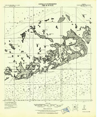
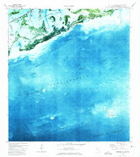
1921 to 1989

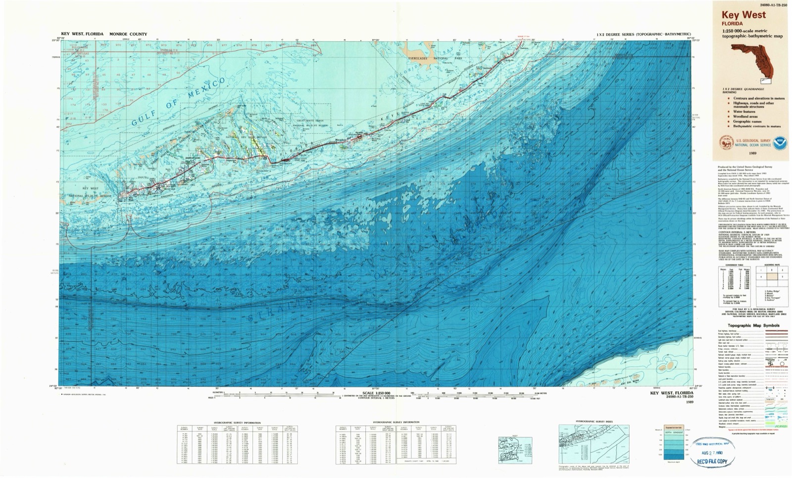
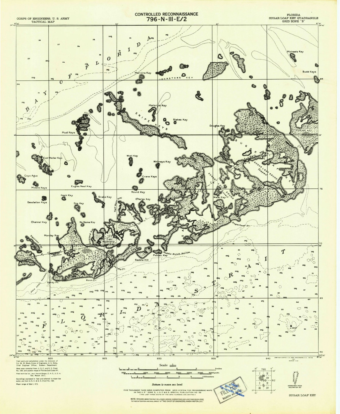
The ground this property stands on, surveyed 68 years apart. Drag the handle to wipe between them. Both sheets are United States Geological Survey originals; neither has been altered.

Topographic sheet covering American Shoal Light, surveyed 1989
Topographic sheet covering American Shoal Light, surveyed 1921

Storms near this property

15 since 1999

Regional context, not property-specific evidence. The National Weather Service names Summerland Key, the town this property stands in, in 15 storm reports between 1999 and 2024: 11 waterspout, 3 tornado, 1 funnel cloud. No death or injury is recorded in these reports. Each account below is quoted exactly as the forecast office filed it, from the NOAA Storm Events Database, and each date opens the federal record of that event.

WhenEvent Place namedHarm What the report says
February 2024Tornado (EF0)Summerland Key$75,000A waterspout was observed by resident video of a |mature waterspout passing just to the north of the southern end of |Cudjoe Key, entering Cudjoe Bay on a northeast path. The waterspout |made landfall in a residential section along Cudjoe Bay near Spanish |Main Drive and moved through the Venture Out residential community of mixed single |family and manufactured residences. The EF0 rating is based on tree |damage including snapped hardwood branches and a healthy palm trunk |roughly 15 feet above the ground. The top portion of the tree fell |onto a manufactured residence with major wall damage and release of |numerous roofing panels deposited as far as 300 yards to the |northeast. Siding was removed from several residences. The tornado |exited the northeast portion of the community and traveled over the |western portion of Kemp Channel, before crossing U.S. Highway One |just west of the Kemp Channel Bridge. A small hardwood tree and |several large hardwood limbs were downed to the north just west of |the western bridge abutment. Maximum winds near 85 mph were estimated at the Venture Out community with a patch width near 120 yards. ||The continuing waterspout observed by resident video of a |mature waterspout approaching the western shore of Big Torch Key |from Niles Channel approximately 2.5 miles north of the Niles |Channel Bridge. The waterspout made landfall as a tornado north of |Osprey Lane and moved northeast, crossing Dorn Road about three |miles north of U.S. Highway 1. Numerous large hardwood branches |were broken off from area trees with a lightweight residential |amenities deposited along a narrow path about 125 yards to the |northeast. No assessment could be made further northeast due to |dense mangrove marshland as the tornado moved toward the northern |portion of Pine Channel. Maximum winds were estimated near 75 mph with a path width of about 80 yards on Big Torch Key.
August 2008Tornado (EF0)Summerland Key$1,000A waterspout was observed southeast of Ramrod Key. The waterspout moved northwest and made landfall in the 400 block of West Indies Drive as an EF0 tornado. The tornado dissipated after crossing West Indies Drive almost immediately after landfall. No structural damage occurred, however a 4x4 post was sheared off at dock level. The tornado also broke several large tree limbs, and removed a television cable service line from one residence. Estimated wind speed 60 to 70 mph per wind measurement of 62 mph coincident with no observed damage one half hour prior to the arrival of the tornado.
August 2019Tornado (EF0)Summerland Key-A waterspout over Cudjoe Bay moved east-southeast and onshore as a tornado over the south end of Cudjoe Key. Maximum wind speeds were estimated at 50 to 60 mph with only a few palm fronds downed and a small piece of vinyl siding from one waterfront home. The tornado dissipated immediately over a narrow peninsula before reaching the oceanside shoreline.
August 2001Funnel CloudSummerland Key-Funnel cloud observed 2 miles north of Sugarloaf Key, mile marker 17.
March 2000WaterspoutSummerland Key-Waterspout reported 1 miles south of Cudjoe Key
July 2000WaterspoutSummerland Key-Waterspout observed 2 miles north of upper Sugarloaf Key.
October 2000WaterspoutSummerland Key-Waterspout observed 1 mile north of Cudjoe Key.
August 2000WaterspoutSummerland Key-Waterspout observed 100 yards south of Cudjoe Key, moving north. Dissipated before hitting land.
September 2000WaterspoutSummerland Key-3 waterspouts observed 1 mile northeast of summerland Key.
June 1999WaterspoutSummerland Key-6 miles south of Sugarloaf Key
May 1999WaterspoutSummerland Key-2 waterspouts 1/2 mile south, did not affect land
June 1999WaterspoutSummerland Key-1 mile south of Sugarloaf Key
June 1999WaterspoutSummerland Key-Waterspout 1 mile north of Sugarloaf Key
May 1999WaterspoutSummerland Key-2 waterspouts 1/2 mile south
April 1999WaterspoutSummerland Key-no account filed

Every storm recorded in Monroe County

Maps showing this location

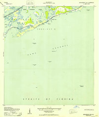
6 surveys

United States Geological Survey topographic sheets whose coverage includes this point. Matched by taking the coordinate the National Park Service records for this property, then testing that coordinate against the published boundary of every sheet.

Sources for this property

National Archives recordThe nomination case file for reference 10001189 in Record Group 79.
Wikipedia articleCommunity-written account of this property, licensed CC BY-SA.
Monroe CountyAll 50 listed properties in this county.

Provenance

  • Listing record. National Park Service National Register of Historic Places, listed-properties dataset, current to 2026-05-22.
  • Map join. Address geocoded through the United States Census geocoder, then tested against the published boundary of every sheet in the USGS Historical Topographic Map Collection.
  • How this page is made. Listing fields come from federal records; map-sheet coverage is a labelled coordinate-to-boundary calculation, not a source-field claim.
  • Storms. NOAA National Centers for Environmental Information, Storm Events Database https://www.ncei.noaa.gov/stormevents/ A work of the United States government, no copyright under 17 U.S.C. 105. Narratives are quoted verbatim from the National Weather Service report and are not edited or summarised.