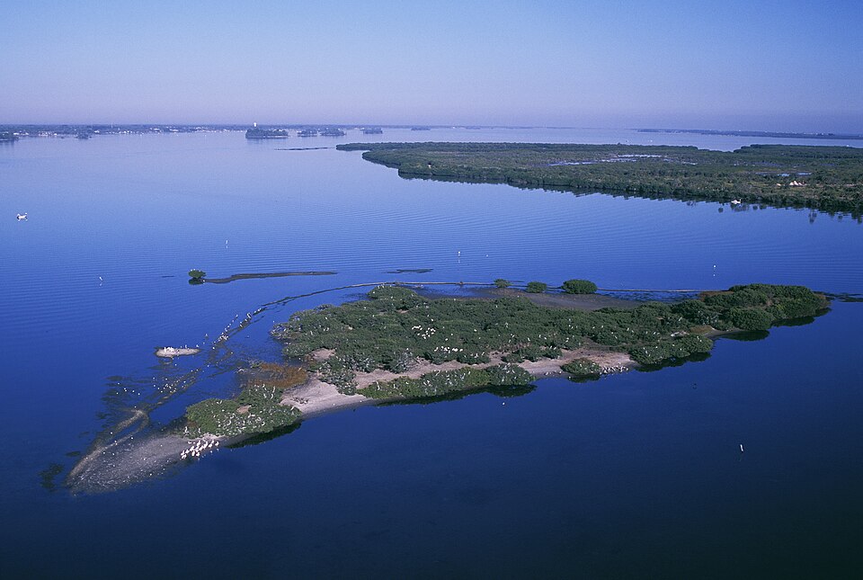
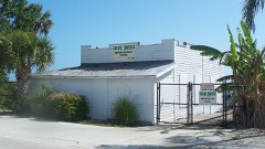
Photograph by Gentry, George (U.S. Fish and Wildlife Service), Public domain. Via
Wikimedia Commons.
Pelican Island National Wildlife Refuge
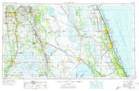
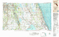
A National Historic Landmark. Listed on the National Register of Historic Places in 1966. 8 historic topographic surveys show this location, the earliest from 1949.
From the record
“Pelican Island National Wildlife Refuge is a United States National Wildlife Refuge (NWR), and part of the Everglades Headwaters NWR complex, located just off the western coast of Orchid Island, Florida in the Indian River Lagoon east of Sebastian, Florida. The refuge consists of a 3-acre (12,000 m2) island that includes an additional 2.5 acres (10,000 m2) of surrounding water and is located off the east coast of Florida of the Indian River Lagoon.”
Wikipedia article Pelican Island National Wildlife Refuge, CC BY-SA 4.0.
One of 31 National Register listings published here for Indian River County · listed in 1966 · category: Site · a National Historic Landmark.
National Register reference number.66000265- the number the National Park Service assigned this property when it was listed, and the key its nomination file is catalogued under at the National Archives.
Then and now
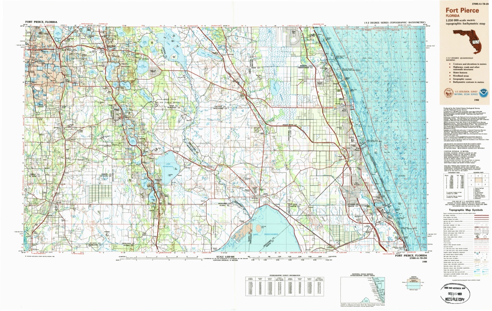
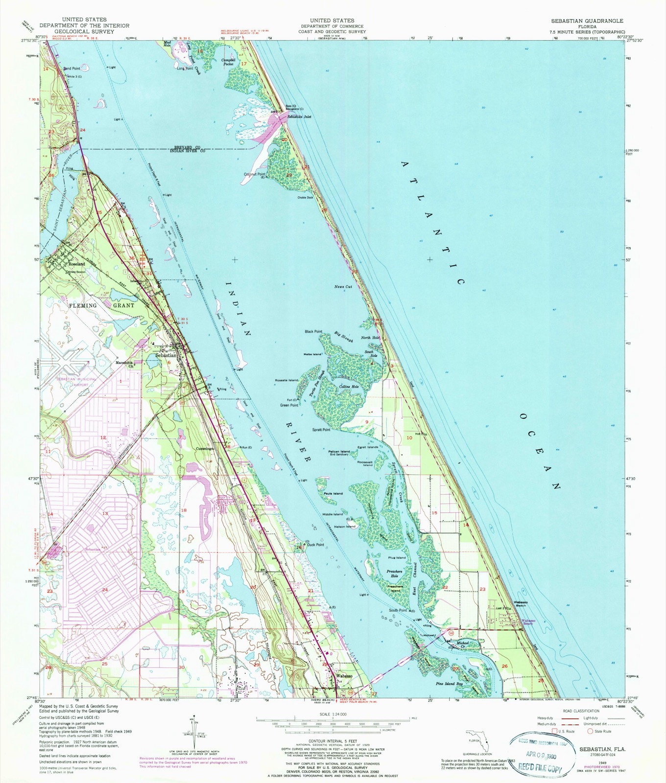
1949 to 1988
The ground this property stands on, surveyed
39 years apart. Drag the handle to wipe between them. Both sheets are
United States Geological Survey originals; neither has been altered.
19491988
Fires near this property
95 since 1992
Regional context, not property-specific
evidence. The
federal wildfire occurrence database
lists 95 fires within 5 miles of Pelican Island National Wildlife Refuge
between 1992 and 2020, burning about 724 acres in total. 24 started naturally. 6 were recorded as arson.
Distance is straight-line from the map coordinates, so a fire counted
here may appear on a neighbouring settlement's page as well.
Reported cause
Fires
Natural
24
Railroad operations and maintenance
21
Misuse of fire by a minor
16
Missing data/not specified/undetermined
11
Arson/incendiarism
6
Equipment and vehicle use
6
Recreation and ceremony
4
Debris and open burning
3
Smoking
2
Fireworks
1
Power generation/transmission/distribution
1
The most recent of
them, most recent first, with the day each was reported and the service
that recorded it.
Regional context, not property-specific
evidence. The federal mineral resources record lists
4 workings within 5 miles of Pelican Island National Wildlife Refuge: 3 unknowns, 1 producer.
1 still produces. What was taken out: Sand. Distance is straight-line from the
map coordinates, so a quarry counted here may appear on a neighbouring
settlement's page as well.
Regional context, not property-specific
evidence. The National Weather Service names
Sebastian, the town this property stands in, in 28 storm reports between 1996 and 2023: 8 thunderstorm wind, 6 hail, 5 flood, 3 tornado.
The reports record 4 injuries. Each account below is quoted exactly as the forecast office
filed it, from the NOAA Storm Events Database, and each date
opens the federal record of that event.
A 11 year old girl visiting from Minnesota was struck and severely injured by a lightning strike at Sebastian Inlet State Park. As of a September 1st news report, the girl was still unconscious and is expected to be permanently disabled. Her mom was also injured but was later released from the hospital. Time estimated via lightning strike data.
The current from the lightning strike reportedly passed through the water, went through the boat's motor, metal steering cables and into the wheel that the man held. The strike caused the man to lose consciousness and temporarily stopped his heart. A nurse at the dock performed CPR until his pulse returned. The man was transported to a local hospital and was treated for kidney and ear drum injuries.
A tornadic waterspout move on shore from the Indian River Lagoon and crossed the north part of Sebastian knocking down trees and severly damaging the roof of a large factor building.
An F1 tornado touched down in the western part of Sebastian and moved southeast along a 2 mile path through the town. It blew down numerous trees, damaged roofs, destroyed pool screens, and sheds. The garage door was blown in and one fourth of the roof was blown off of one house.
Thunderstorms winds from the west blew across Sebastian and the Intracoastal Waterway overturning three moored vessels. They were a 38 foot trimaran, a 28 foot sailboat and a 54 foot steel research vessel. About 20 trees were blown down on a spoil island east of the overturned vessels.
A rain band associated with Tropical Storm Gabrielle moving north along the Florida coastline produced a small F0 tornado just south of Sebastian Inlet. The tornado was on the ground briefly, blowing down a few trees, damaging a camp trailer and a picnic shelter.
Rainbands associated with Hurricane Irma produced rainfall totals between 8 and 15 inches, resulting in areas of urban and poor drainage flooding, especially across the southern portion of the county. Numerous roadways were impacted by significant levels of standing water and many retention ponds reached capacity or overflowed. See the separate entry for the more significant (flash) flooding which affected the Fellsmere area.
Rainbands associated with Hurricane Matthew produced rainfall totals between 3.5 and 4.5 inches, resulting in areas of mostly minor urban and poor drainage flooding. Several roadways were impacted by significant ponding.
Heavy rain from a weak tropical depression dropped three to four inches of rain over southern Brevard and Indian River counties. Widespread minor roadway flooding was reported in Sebastian and in Vero Beach.
United States Geological Survey topographic
sheets whose coverage includes this point. Matched by taking the middle of the area the National Park Service maps for this listing, then
testing that coordinate against the published boundary of every sheet.
Other National Register properties close
enough to walk or drive between, ordered by distance from this one. Both
positions come from the same geocoding pass that matched these properties
to their map sheets.
Listing record. National Park Service National Register of Historic Places, listed-properties dataset, current to 2026-05-22.
Map join. Address geocoded through the United States Census geocoder, then tested against the published boundary of every sheet in the USGS Historical Topographic Map Collection.
How this page is made. Listing fields come from federal records; map-sheet coverage is a labelled coordinate-to-boundary calculation, not a source-field claim.
Wildfire. Short, Karen C. 2022. Spatial wildfire occurrence data for the United States, 1992-2020 [FPA_FOD_20221014]. 6th Edition. Fort Collins, CO: Forest Service Research Data Archive. https://doi.org/10.2737/RDS-2013-0009.6 Collected with United States Government funding and usable without additional permissions or fees.
Mines and quarries. USGS Mineral Resources Data System (MRDS) https://mrdata.usgs.gov/mrds/ A work of the United States government, no copyright under 17 U.S.C. 105.
Storms. NOAA National Centers for Environmental Information, Storm Events Database https://www.ncei.noaa.gov/stormevents/ A work of the United States government, no copyright under 17 U.S.C. 105. Narratives are quoted verbatim from the National Weather Service report and are not edited or summarised.
 Block
Block