BlockBefore
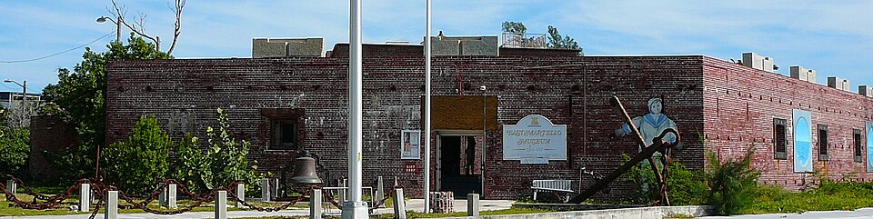
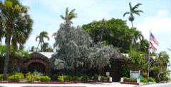
Photograph of Martello Gallery-Key West Art and Historical Museum
Photograph by Averette at en.wikipedia, CC BY 3.0. Via Wikimedia Commons.

Martello Gallery-Key West Art and Historical Museum

Listed on the National Register of Historic Places in 1972. 7 historic topographic surveys show this location, the earliest from 1921.

From the record

“The Fort East Martello Museum & Gardens, is a historic site located at 3501 South Roosevelt Boulevard, Key West, Florida, United States. On June 19, 1972, it was added to the U.S.”

Wikipedia article Martello Gallery-Key West Art and Historical Museum, CC BY-SA 4.0.

One of 50 National Register listings published here for Monroe County · listed in 1972 · category: Building.

Sources: the Wikipedia article · the case file at the National Archives · the National Register database, National Park Service

The listing

  • What is counted as historic. The nomination lists 1 building as contributing to the listing.
  • Address. S. Roosevelt Blvd., Key West, 33040
  • When was it listed? June 1972
  • Category. building
  • Census division. Key West
  • National Register reference number. 72000341 - the number the National Park Service assigned this property when it was listed, and the key its nomination file is catalogued under at the National Archives.

Then and now

1921 to 1989

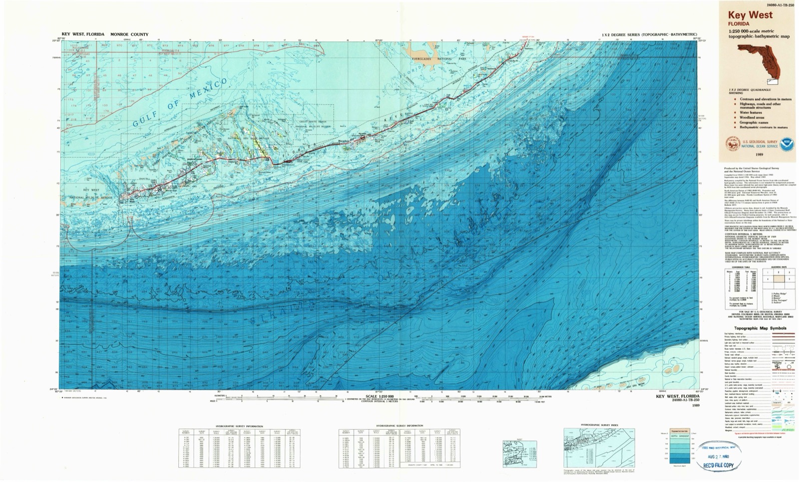
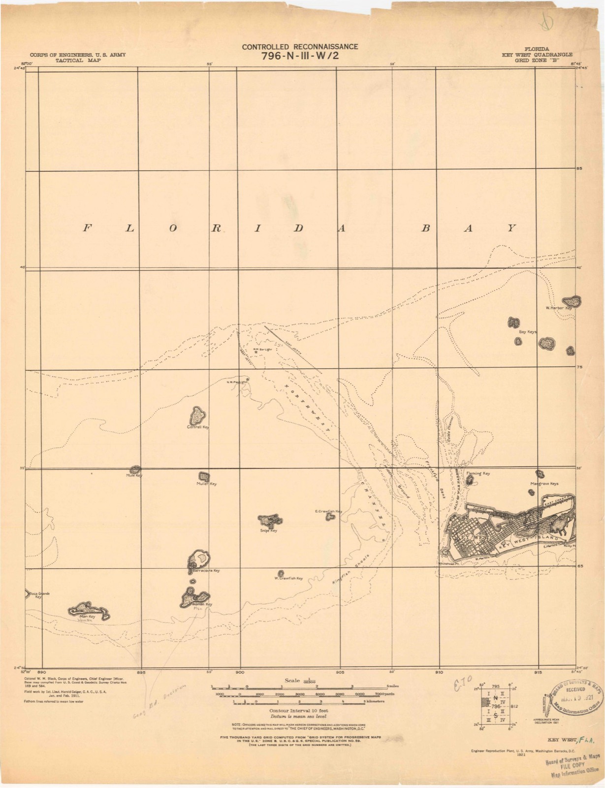
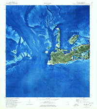
The ground this property stands on, surveyed 68 years apart. Drag the handle to wipe between them. Both sheets are United States Geological Survey originals; neither has been altered.

Topographic sheet covering Martello Gallery-Key West Art and Historical Museum, surveyed 1989
Topographic sheet covering Martello Gallery-Key West Art and Historical Museum, surveyed 1921

Fires near this property

1 since 2006

Regional context, not property-specific evidence. The federal wildfire occurrence database lists 1 fire within 5 miles of Martello Gallery-Key West Art and Historical Museum in 2006, burning under an acre in total. None started naturally. None was recorded as arson. Distance is straight-line from the map coordinates, so a fire counted here may appear on a neighbouring settlement's page as well.

Reported cause Fires
Smoking1

The most recent of them, most recent first, with the day each was reported and the service that recorded it.

DateCause SizeReported by Name on the report
15 March 2006Smokingunder an acreFlorida Forest ServiceBIG COPPIT FIRE

Every fire recorded in Monroe County

Mines and quarries near this property

2 within 5 miles

Regional context, not property-specific evidence. The federal mineral resources record lists 2 workings within 5 miles of Martello Gallery-Key West Art and Historical Museum: 2 producers. All of them still produce. What was taken out: Stone, Crushed/Broken, Limestone, General. Distance is straight-line from the map coordinates, so a quarry counted here may appear on a neighbouring settlement's page as well.

Where SiteCommodity StatusRecorded
Rockland Key QuarryStone, Crushed/BrokenProducer
Tarmac-Florida - Rockland KeyLimestone, GeneralProducerLimestone

Every working recorded in Monroe County

Storms near this property

44 since 1993

Regional context, not property-specific evidence. The National Weather Service names Key West, the town this property stands in, in 44 storm reports between 1993 and 2005: 22 waterspout, 11 funnel cloud, 5 thunderstorm wind, 4 tornado. The reports record 1 injury. Each account below is quoted exactly as the forecast office filed it, from the NOAA Storm Events Database, and each date opens the federal record of that event.

WhenEvent Place namedHarm What the report says
July 2000LightningKey West1 hurtLightning struck a boat just west of Key West. 5 people were knocked out of the boat with one person injured with burns.
June 1998Tornado (F0)Key West$15,000Funnel cloud moved onshore and lowered resulting in a F0 tornado. The tornado moved along 10th ST between North Roosevelt Ave and Flagler Ave. Tree were toppled...roofs and awnings were damaged...powerlines were downed and a shack was tipped over.
September 2002Thunderstorm WindKey West$500Tree limbs 8 to 10 inches in diameter felled, along with damage to wood commercial signs in western portions of Old Town Key West, and a city lamp post near Whitehead and Front Streets.
May 2005Thunderstorm WindKey West-Tree downed at Front Street and 16th Terrace in Key West. 5-inch diameter limbs down on 12th Street in Key West.
May 2005Thunderstorm WindKey West-Marine reported 4 boats broke anchorages in waters between Christmas Tree Island and Fleming Key and driven ashore. Estimated wind gusts to 50 knots (58 mph).
October 2003Tornado (F0)Key West-Waterspout moved ashore and crossed Key Haven Road in Key Haven section of Key West. Palm fronds were broken off palm trees, but there was no damage to structures or boats.
May 2001WaterspoutKey West-Waterspout observed 5 miles southwest of Key West.
August 2001Funnel CloudKey West-Funnel cloud observed 2 miles north of Key West.
July 2000FloodKey West-Minor street flooding along streets adnin business in downtown Key West.
August 2000WaterspoutKey West-Waterspout observed 10 miles west of the Marquesas Keys or about 30 miles west of Key West.
July 1999WaterspoutKey West-Waterspout observed 5 miles southwest of Key West
May 1999Tornado (F0)Key West-Waterspout dissipated quickly after moving onshore
May 1999WaterspoutKey West-1/2 mile east of Key West, moved onshore as a tornado
July 1999WaterspoutKey West-Waterspout observed 1 miles south of Higgs Beach in Key West
June 1998WaterspoutKey West-Several waterspouts reported from 5 - 10 miles north of Key West. Reports came from several sources.
June 1998Funnel CloudKey West-Funnel cloud observed 4 miles north of Key West.
July 1998Funnel CloudKey West-Three funnel clouds were observed 3 nm north of Key West.
July 1998WaterspoutKey West-Observed just north northwest of Key West.
August 1998Funnel CloudKey West-Funnel cloud observed 5nm southeast of Key West.
July 1998WaterspoutKey West-Waterspout observed 5nm southeast of Key West.
July 1998Funnel CloudKey West-Oberved 7-8 nm northwest of Key West.
July 1998Funnel CloudKey West-Funnel cloud observed just northwest of Key West.
July 1998WaterspoutKey West-Waterspout observed 5nm north of Key West. Also reported as large waterspout north of Key West at 1330 EST by Monroe County Sheriffs office.
July 1998WaterspoutKey West-Waterspout observed 7nm northwest of Key West.
June 1998WaterspoutKey West-Weather observer sighted waterspout 2nm north of Key West International Airport. Movement was toward the west at 7 MPH.
June 1998Funnel CloudKey West-Weather observer sighted funnel cloud 5nm northwest of Key West International Airport.
July 1998WaterspoutKey West-Waterspout observed several miles southeast of Key West.
July 1997Funnel CloudKey West-reported by observer ne of keyw. radar indicated storm cell about 12nm nne.
September 1997WaterspoutKey West-two waterspouts observed about 15nm n of keyw.
September 1997WaterspoutKey West-observed 5 to 10 nm southeast of keyw.
January 1995Thunderstorm WindKey West-Wind gust of 58 mph reported at Key West International Airport.
April 1993Thunderstorm WindKey West-A wind gust of 58 mph was observed at Weather Service Office, Key West as a line of thunderstorms passed the station.
May 1999Tornado (F0)Key West-no account filed
August 1998Funnel CloudKey West-no account filed
August 1998WaterspoutKey West-no account filed
August 1998Funnel CloudKey West-no account filed
July 1998WaterspoutKey West-no account filed
August 1998Funnel CloudKey West-no account filed
August 1998WaterspoutKey West-no account filed

Every storm recorded in Monroe County

Maps showing this location

7 surveys

United States Geological Survey topographic sheets whose coverage includes this point. Matched by taking the coordinate the National Park Service records for this property, then testing that coordinate against the published boundary of every sheet.

Listed places nearby

6 within 8 miles

Other National Register properties close enough to walk or drive between, ordered by distance from this one. Both positions come from the same geocoding pass that matched these properties to their map sheets.

Photograph PropertyDistance Listed
West Martello Tower2.0 miles1976
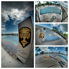
African Cemetery at Higgs Beach2.0 miles2012
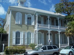
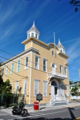
Eduardo H. Gato House2.2 miles1973
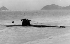
HA. 19 (Japanese Midget Submarine)2.4 miles1989
Armory, The2.5 miles1971
Key West Historic District (Boundary Increase)2.6 miles1983

Sources for this property

National Archives recordThe nomination case file for reference 72000341 in Record Group 79.
Wikipedia articleCommunity-written account of this property, licensed CC BY-SA.
Monroe CountyAll 50 listed properties in this county.

Provenance

  • Listing record. National Park Service National Register of Historic Places, listed-properties dataset, current to 2026-05-22.
  • Map join. Address geocoded through the United States Census geocoder, then tested against the published boundary of every sheet in the USGS Historical Topographic Map Collection.
  • How this page is made. Listing fields come from federal records; map-sheet coverage is a labelled coordinate-to-boundary calculation, not a source-field claim.
  • Wildfire. Short, Karen C. 2022. Spatial wildfire occurrence data for the United States, 1992-2020 [FPA_FOD_20221014]. 6th Edition. Fort Collins, CO: Forest Service Research Data Archive. https://doi.org/10.2737/RDS-2013-0009.6 Collected with United States Government funding and usable without additional permissions or fees.
  • Mines and quarries. USGS Mineral Resources Data System (MRDS) https://mrdata.usgs.gov/mrds/ A work of the United States government, no copyright under 17 U.S.C. 105.
  • Storms. NOAA National Centers for Environmental Information, Storm Events Database https://www.ncei.noaa.gov/stormevents/ A work of the United States government, no copyright under 17 U.S.C. 105. Narratives are quoted verbatim from the National Weather Service report and are not edited or summarised.