Block
BlockFrom the record
One of 50 National Register listings published here for Lee County · listed in 1974 · category: Building.
Sources: the case file at the National Archives · the National Register database, National Park Service · the Wikipedia article
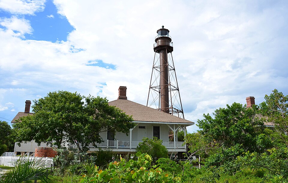
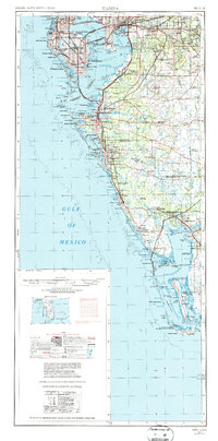
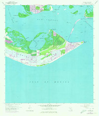
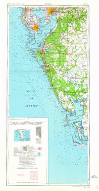
Listed on the National Register of Historic Places in 1974. 7 historic topographic surveys show this location, the earliest from 1956.
One of 50 National Register listings published here for Lee County · listed in 1974 · category: Building.
Sources: the case file at the National Archives · the National Register database, National Park Service · the Wikipedia article
Regional context, not property-specific evidence. The federal wildfire occurrence database lists 8 fires within 5 miles of Sanibel Lighthouse and Keeper's Quarters between 1993 and 2018, burning about 134 acres in total. 1 started naturally. 1 was recorded as arson. Distance is straight-line from the map coordinates, so a fire counted here may appear on a neighbouring settlement's page as well.
| Reported cause | Fires |
|---|---|
| Missing data/not specified/undetermined | 3 |
| Arson/incendiarism | 1 |
| Equipment and vehicle use | 1 |
| Railroad operations and maintenance | 1 |
| Debris and open burning | 1 |
| Natural | 1 |
The most recent of them, most recent first, with the day each was reported and the service that recorded it.
| Date | Cause | Size | Reported by | Name on the report |
|---|---|---|---|---|
| 4 August 1998 | Natural | 50 acres | Florida Forest Service | not named |
| 30 May 2008 | Missing data/not specified/undetermined | 8.0 acres | J.N. "Ding" Darling National Wildlife Refuge | DOF 196 |
| 7 April 1993 | Debris and open burning | 4.0 acres | Florida Forest Service | not named |
| 11 April 2000 | Railroad operations and maintenance | 60 acres | Florida Forest Service | not named |
| 23 March 2009 | Missing data/not specified/undetermined | 12 acres | J.N. "Ding" Darling National Wildlife Refuge | BLAZER 16 |
| 20 February 2012 | Arson/incendiarism | under an acre | J.N. "Ding" Darling National Wildlife Refuge | DAY AFTER |
| 22 December 1993 | Equipment and vehicle use | under an acre | J.N. "Ding" Darling National Wildlife Refuge | LOU'S FIRE |
| 3 November 2018 | Missing data/not specified/undetermined | under an acre | Florida Forest Service | SANIBEL INN (36) |
Regional context, not property-specific evidence. The National Weather Service names Sanibel, the town this property stands in, in 17 storm reports between 1998 and 2025: 4 lightning, 4 tornado, 3 flood, 2 waterspout. The reports record 2 deaths and 3 injuries. Each account below is quoted exactly as the forecast office filed it, from the NOAA Storm Events Database, and each date opens the federal record of that event.
| When | Event | Place named | Harm | What the report says |
|---|---|---|---|---|
| July 2021 | Lightning | Sanibel | 1 killed, 1 hurt | A family of four was on the beach at Sanibel Island as a thunderstorm moved overhead. Unfortunately a lightning strike hit the father and he died of his injuries. |
| August 2001 | Rip Current | Sanibel | 1 killed | A 65 year old male drowned in a rip current at Lighthouse Beach on Sanibel Island. |
| August 2000 | Lightning | Sanibel | 1 hurt | A woman was struck and injured by lightning while walking under a tree in a parking lot on Sanibel Island. The lightning strike knocked the woman unconscious and left her with burns on her feet. The lightning victim was resuscitated and regained consciousness, but could not speak following the strike. |
| August 1999 | Lightning | Sanibel | 1 hurt | A man was injured by the sideflash of lightning that struck a nearby tree as he walked across a foot bridge at Bowman's Beach on Sanibel Island. |
| September 2000 | Tornado (F1) | Sanibel | $2,000,000 | A fast moving tornado, on the low end of the F1 scale, associated with an outer band of hurricane Gordon, touched down along East Gulf Drive, two miles east of Sanibel on Sanibel Island, and caused extensive damage to two condominium complexes, two dozen nearby homes and lanais. The tornado moved north northwest and sporadically touched down along rural County Road 767 on Pine Island in western Lee county. The tornado damaged the roofs of a few homes, carports and toppled or snapped palm trees along it's path. The tornado lifted and dissipated near Bokeelia on the north side of Pine Island. Residents in the path of the tornado in Sanibel indicated that they heard the sound of roaring train and their ears felt an air pressure change as it passed overhead. |
| September 2000 | Tornado (F1) | Sanibel | $1,000,000 | A tornado, on the high end of the F1 scale, associated with an outer band of Hurricane Gordon, touched down on the south side of Sanibel Island and rapidly moved north northwest across Periwinkle Way where it removed roofs, destroyed lanais, downed trees, power lines and large branches across the island. The tornado then moved over southern Pine Island where it widened to nearly 200 feet in width and uprooted or stripped numerous mangrove trees. The tornado continued rapidly north northwest along and east of County Road 767 until it moved over Little Pine Island. The tornado caused significant roof damage to two businesses and at least ten homes, carports, garages and lanais along Pine Island Road, west of Matlacha, before it dissipated on the northern side of Little Pine Island. Also, more than a dozen trees were uprooted and five utility poles downed by the tornado along Pine Island Road near west of Matlacha. Residents along Pine Island Road indicated that the torndo sounded like a loud machine or train as it passed overhead. |
| July 1999 | Lightning | Sanibel | $250,000 | Lightning struck and burned to the ground a three story home along the 4000 block of West Gulf Drive on Sanibel Island. |
| July 2001 | Thunderstorm Wind | Sanibel | $25,000 | Lee county emergency management reported that thunderstorm winds peeled back three quarters of a roof at the Sand Foot condominiums along the 600 block of East Gulf Drive in Sanibel. Also, roof and shingle damage was reported at the Sundial Resorts in Sanibel by thunderstorm winds. |
| August 1998 | Flood | Sanibel | $5,000 | Heavy rainfall caused localized flooding of roadways and low lying areas south of State Road 82 from Sanibel east to near Lehigh Acres. |
| August 2025 | Flood | Sanibel | - | Local broadcast media shared a photo of street flooding resulting from heavy rain near Sanibel. |
| August 2004 | Tornado (F0) | Sanibel | - | A waterspout moved onshore in an undeveloped area on the east tip of Sanibel Island. A video showed several people kicking up sand into the decaying vortex. |
| July 2004 | Thunderstorm Wind | Sanibel | - | Thunderstorm wind gusts downed several large trees in the Ding Darling National Wildlife Refuge and along Sweet Captiva Lane. |
| August 2000 | Waterspout | Sanibel | - | Two short lived waterspouts were reported by the Lee County Emergency Management five miles southeast of Sanibel. |
| July 2000 | Waterspout | Sanibel | - | A waterspout was reported by the Sanibel Fire Department ten miles west of Sanibel Island. |
| June 2000 | Tornado (F0) | Sanibel | - | Law enforcement reported that the public observed a tornado sporadically touch down several times along a semi-wooded area of Sanibel Island before it lifted and dissipated near Captiva. |
| July 1998 | Flood | Sanibel | - | Heavy rain of three to four inches in less than three hours caused localized flooding of low lying areas from Sanibel to Cape Coral. A few vehicles incurred water damage at low lying intersections in Cape Coral. |
| July 2004 | Hail | Sanibel | - | no account filed |
United States Geological Survey topographic sheets whose coverage includes this point. Matched by taking the coordinate the National Park Service records for this property, then testing that coordinate against the published boundary of every sheet.
Other National Register properties close enough to walk or drive between, ordered by distance from this one. Both positions come from the same geocoding pass that matched these properties to their map sheets.
| Photograph | Property | Distance | Listed |
|---|---|---|---|
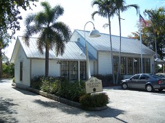 | Sanibel Colored School | 3.2 miles | 1999 |
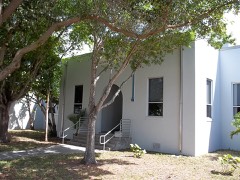 | Fort Myers Beach School | 4.7 miles | 1999 |
| Mound House | 5.4 miles | 2019 |
| National Archives record | The nomination case file for reference 74000648 in Record Group 79. |
| Wikipedia article | Community-written account of this property, licensed CC BY-SA. |
| Lee County | All 50 listed properties in this county. |