BlockBefore
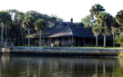
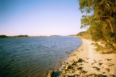
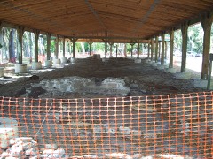
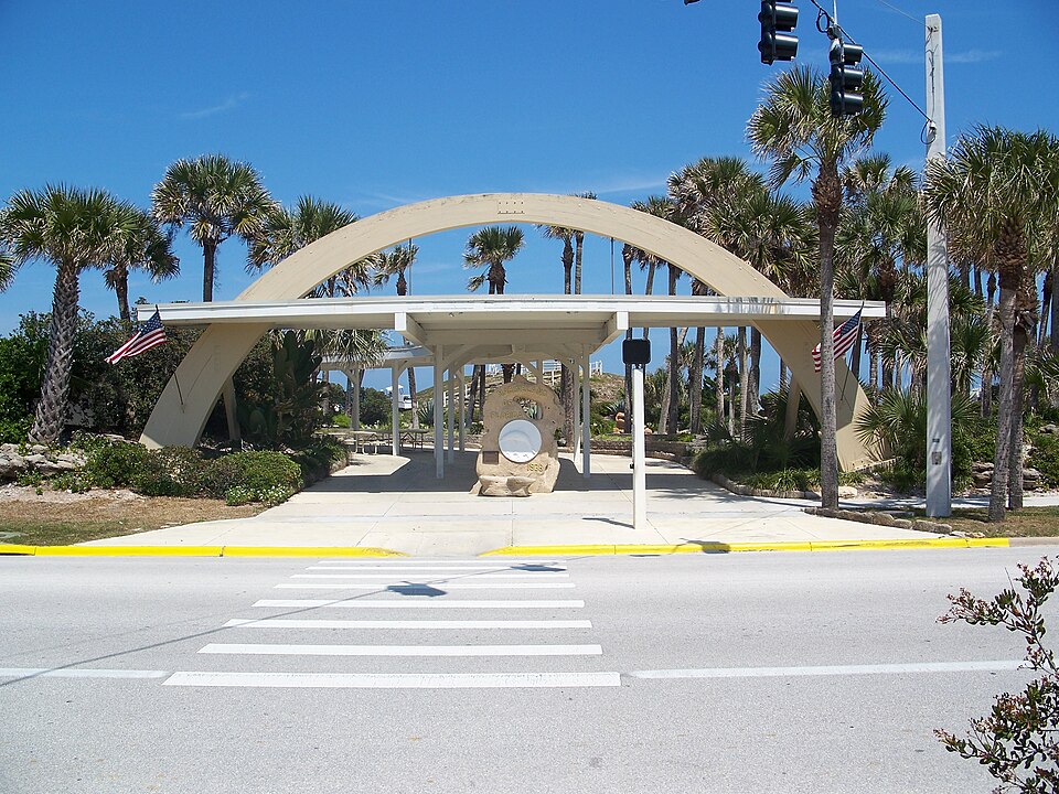
Photograph of Marineland of Florida
Photograph by Ebyabe, CC BY 2.5. Via Wikimedia Commons.

Marine Studios

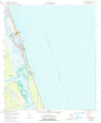
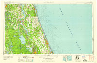
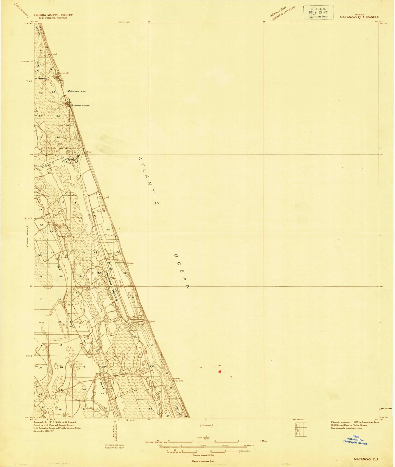
Listed on the National Register of Historic Places in 1986. 8 historic topographic surveys show this location, the earliest from 1927.

From the record

“Marineland of Florida, one of Florida's first marine mammal parks, is billed as "the world's first oceanarium". Marineland functions as an entertainment and swim-with-the-dolphins facility, and reopened to the public on March 4, 2006.”

Wikipedia article Marineland of Florida, CC BY-SA 4.0.

One of 11 National Register listings published here for Flagler County · listed in 1986 · category: District.

Sources: the Wikipedia article · the case file at the National Archives · the National Register database, National Park Service
The listing

  • What is counted as historic. The nomination lists 5 structuress, 3 buildingss as contributing to the listing.
  • Address. CT A1A, Box 122, Marineland, 32080
  • When was it listed? April 1986
  • Category. district
  • Census division. Flagler Beach
  • National Register reference number. 86000831 - the number the National Park Service assigned this property when it was listed, and the key its nomination file is catalogued under at the National Archives.

Then and now

1927 to 1954

The ground this property stands on, surveyed 27 years apart. Drag the handle to wipe between them. Both sheets are United States Geological Survey originals; neither has been altered.

Topographic sheet covering Marine Studios, surveyed 1954
Topographic sheet covering Marine Studios, surveyed 1927

Fires near this property

84 since 1992

Regional context, not property-specific evidence. The federal wildfire occurrence database lists 84 fires within 5 miles of Marine Studios between 1992 and 2020, burning about 1,501 acres in total. 58 started naturally. 3 were recorded as arson. Distance is straight-line from the map coordinates, so a fire counted here may appear on a neighbouring settlement's page as well.

Reported cause Fires
Natural58
Missing data/not specified/undetermined8
Equipment and vehicle use7
Debris and open burning5
Arson/incendiarism3
Misuse of fire by a minor1
Railroad operations and maintenance1
Recreation and ceremony1

The most recent of them, most recent first, with the day each was reported and the service that recorded it.

DateCause SizeReported by Name on the report
16 September 2011Missing data/not specified/undetermined4.5 acresFlorida Forest ServiceDAVIS GRADE 2 -18
1 September 2005Natural18 acresFlorida Forest ServiceWF-KELLY
9 August 2011Natural6.2 acresFlorida Forest ServiceDAVIS GRADE (18)
5 August 1994Natural4.0 acresFlorida Forest Servicenot named
3 August 2016Natural1.0 acresFlorida Forest ServicePAR 4 (18)
3 August 1999Natural5.0 acresFlorida Forest Servicenot named
9 July 2004Naturalunder an acreFlorida Forest ServicePRINCESS PLACE
9 July 2003Natural4.0 acresFlorida Forest ServiceFAVOR-DYKES-27-9-30

Every fire recorded in Flagler County

Storms near this property

7 since 1996

Regional context, not property-specific evidence. The National Weather Service names Marineland, the town this property stands in, in 7 storm reports between 1996 and 2017: 3 thunderstorm wind, 1 funnel cloud, 1 flood, 1 hail. No death or injury is recorded in these reports. Each account below is quoted exactly as the forecast office filed it, from the NOAA Storm Events Database, and each date opens the federal record of that event.

WhenEvent Place namedHarm What the report says
June 2008Thunderstorm WindMarineland$20,000Marineland reported a large tent was destroyed and rooftop air conditioners were also damaged in the storm.
March 1996Thunderstorm WindMarineland$6,000no account filed
September 2017Tornado (EF0)Marineland-This tornado touchdown in northern Flagler county just south of Marineland. Damage was limited to trees. Structural damage was not reported. A tornado debris signature was detected along the path. The tornado remained over the Pellicer Creek Conservation Area before dissipating just west of Interstate 95.
May 2016HailMarineland-Dime size hail was observed in Marineland near Washington Oaks.
April 2015Thunderstorm WindMarineland-A wind gust of 61 mph was measured in Marineland.
May 2009FloodMarineland-Heavy rainfall began in Flagler County on Sunday, May 17th associated with a cold frontal passage with between one and three inches of rain falling by Monday morning. The rainfall increased on Monday with four and a half inches having fallen by 3 p.m. EDT/2 p.m. EST. Due to moist antecedent ground conditions flooding began quickly with County Road 35 west of Bunnell washed out near State Road 100. By Tuesday morning, the 19th, up to eleven and a half inches of rain had fallen with continuing flooding problems continuing. Heavy rainfall continued on Wednesday with up to 24 inches of rain having fallen since Sunday at the Fair Grounds. The rain finally began to slowly taper off on the 21st and 22nd; however, by the end of the event up to 28 inches of rainfall was reported by the school staff in downtown Bunnell (the County Seat). Extensive flooding was reported to multiple roads in Daytona North with over three feet of water on some. Several residents had to be rescued from flooded homes in that area. Significant roads that were reported as having been flooded and closed are County Road 75, County Road 65, Forest Park Rd, Tangerine Rd, County Road 15, and Water Oak Road. In western Flagler County including Deanville, Andulusia, Codys Corner massive flooding of agricultural property was reported with many fields resembling lakes. Many side roads were reported as being underwater including Otis Stone Hunter Road, Hardgrove Grade (west of the Florida East Coast railroad tracks).
September 2008Funnel CloudMarineland-no account filed

Every storm recorded in Flagler County

Maps showing this location

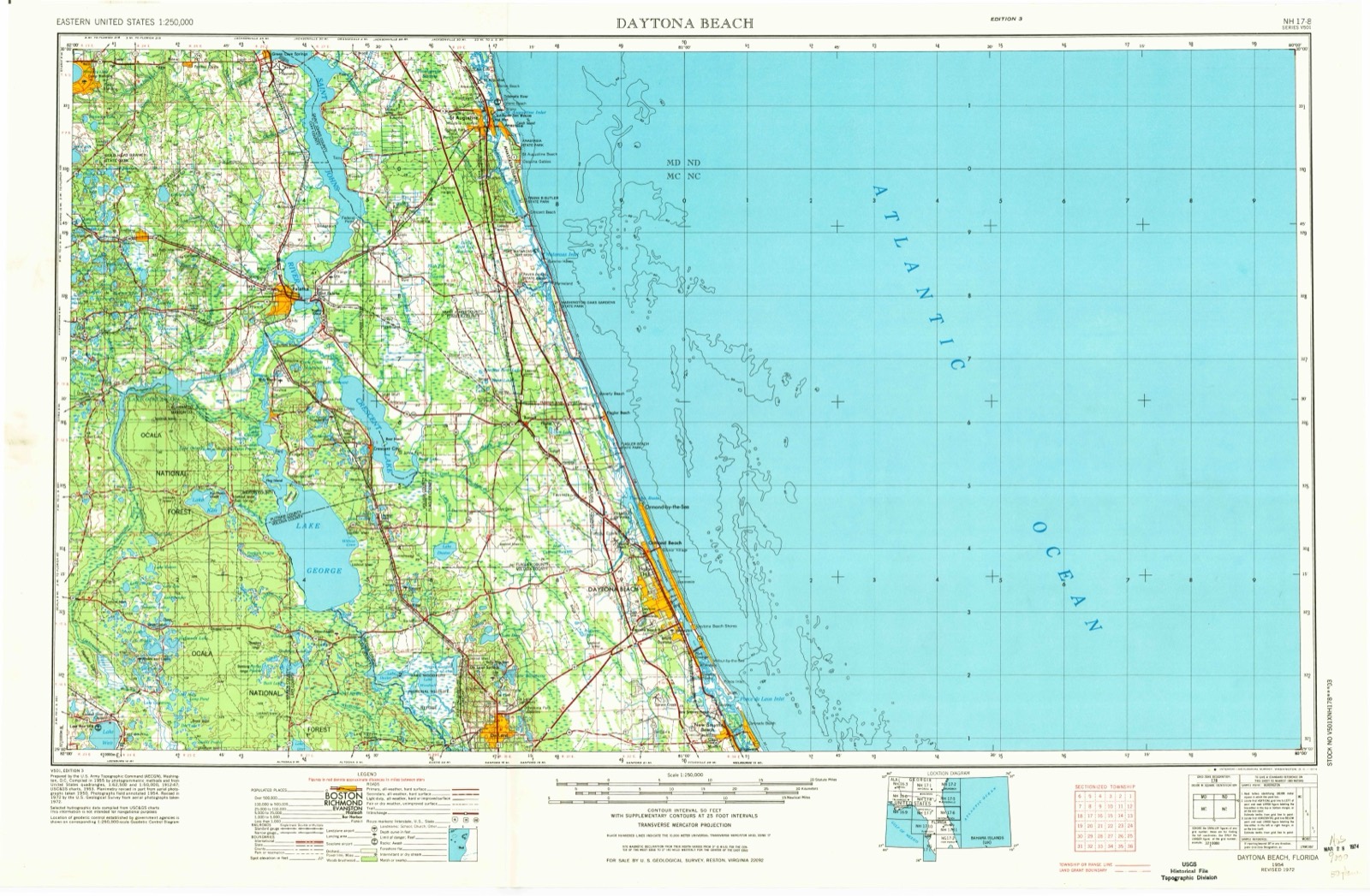
8 surveys

United States Geological Survey topographic sheets whose coverage includes this point. Matched by taking the coordinate the National Park Service records for this property, then testing that coordinate against the published boundary of every sheet.

Listed places nearby

3 within 8 miles

Other National Register properties close enough to walk or drive between, ordered by distance from this one. Both positions come from the same geocoding pass that matched these properties to their map sheets.

Photograph PropertyDistance Listed
Cherokee Grove1.6 miles1997
Washington Oaks Historic District2.6 miles2009
Mala Compra Plantation Archeological Site3.7 miles2004

Sources for this property

National Archives recordThe nomination case file for reference 86000831 in Record Group 79.
Wikipedia articleCommunity-written account of this property, licensed CC BY-SA.
Flagler CountyAll 11 listed properties in this county.

Provenance

  • Listing record. National Park Service National Register of Historic Places, listed-properties dataset, current to 2026-05-22.
  • Map join. Address geocoded through the United States Census geocoder, then tested against the published boundary of every sheet in the USGS Historical Topographic Map Collection.
  • How this page is made. Listing fields come from federal records; map-sheet coverage is a labelled coordinate-to-boundary calculation, not a source-field claim.
  • Wildfire. Short, Karen C. 2022. Spatial wildfire occurrence data for the United States, 1992-2020 [FPA_FOD_20221014]. 6th Edition. Fort Collins, CO: Forest Service Research Data Archive. https://doi.org/10.2737/RDS-2013-0009.6 Collected with United States Government funding and usable without additional permissions or fees.
  • Storms. NOAA National Centers for Environmental Information, Storm Events Database https://www.ncei.noaa.gov/stormevents/ A work of the United States government, no copyright under 17 U.S.C. 105. Narratives are quoted verbatim from the National Weather Service report and are not edited or summarised.