Block
BlockFrom the record
One of 93 National Register listings published here for Volusia County · listed in 1988 · category: Building.
Sources: the case file at the National Archives · the National Register database, National Park Service
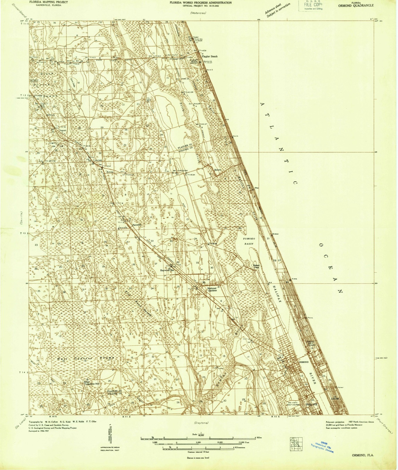
Listed on the National Register of Historic Places in 1988. 7 historic topographic surveys show this location, the earliest from 1937.
One of 93 National Register listings published here for Volusia County · listed in 1988 · category: Building.
Sources: the case file at the National Archives · the National Register database, National Park Service
The ground this property stands on, surveyed 17 years apart. Drag the handle to wipe between them. Both sheets are United States Geological Survey originals; neither has been altered.
Regional context, not property-specific evidence. The federal wildfire occurrence database lists 158 fires within 5 miles of Casements Annex between 1992 and 2020, burning about 574 acres in total. 30 started naturally. 20 were recorded as arson. Distance is straight-line from the map coordinates, so a fire counted here may appear on a neighbouring settlement's page as well.
| Reported cause | Fires |
|---|---|
| Equipment and vehicle use | 33 |
| Natural | 30 |
| Missing data/not specified/undetermined | 25 |
| Misuse of fire by a minor | 21 |
| Arson/incendiarism | 20 |
| Recreation and ceremony | 15 |
| Railroad operations and maintenance | 11 |
| Debris and open burning | 3 |
The most recent of them, most recent first, with the day each was reported and the service that recorded it.
| Date | Cause | Size | Reported by | Name on the report |
|---|---|---|---|---|
| 18 September 1992 | Railroad operations and maintenance | under an acre | Florida Forest Service | not named |
| 8 August 2008 | Natural | 70 acres | Florida Forest Service | TOMOKA RIVER FIRE |
| 7 August 2016 | Debris and open burning | 1.0 acres | Florida Forest Service | PRIMROSE (64) |
| 30 August 1999 | Natural | under an acre | Florida Forest Service | not named |
| 26 August 2000 | Natural | 5.0 acres | Florida Forest Service | not named |
| 25 August 2000 | Natural | 5.0 acres | Florida Forest Service | not named |
| 18 August 2013 | Misuse of fire by a minor | under an acre | Florida Forest Service | 3RD ST (64) |
| 17 August 1993 | Natural | 6.0 acres | Florida Forest Service | not named |
Regional context, not property-specific evidence. The federal mineral resources record lists 2 workings within 5 miles of Casements Annex: 1 past producer, 1 producer. 1 still produces. What was taken out: Sand and Gravel, Construction, Limestone, General. Distance is straight-line from the map coordinates, so a quarry counted here may appear on a neighbouring settlement's page as well.
| Where | Site | Commodity | Status | Recorded |
|---|---|---|---|---|
| Barbour Sand and Gravel Pit | Sand and Gravel, Construction | Past Producer | ||
| Volusia Co. Rd. and Bridge - Holly Hills Pit | Limestone, General | Producer | Limestone |
Regional context, not property-specific evidence. The National Weather Service names Ormond Beach, the town this property stands in, in 28 storm reports between 1993 and 2023: 9 hail, 7 thunderstorm wind, 4 funnel cloud, 3 heavy rain. The reports record 3 deaths and 1 injury. Each account below is quoted exactly as the forecast office filed it, from the NOAA Storm Events Database, and each date opens the federal record of that event.
| When | Event | Place named | Harm | What the report says |
|---|---|---|---|---|
| July 2018 | Thunderstorm Wind | Ormond Beach | 1 killed, 1 hurt | Reports from Ormond Beach police and multiple local broadcast media indicated two people were injured when a large tree fell onto them in Ormond Beach. Both men were unloading furniture from a truck in the driveway of a home near Arroyo Parkway when the tree fell, and were transported to a local hospital with injuries. One man suffered a critical head injury during the incident and died the following day (July 23). |
| October 2004 | Rip Current | Ormond Beach | 1 killed | A 24 year old man visiting from Germany drowned in a rip current at Ormond Beach. |
| October 2004 | Rip Current | Ormond Beach | 1 killed | A 55 year old man drowned in a rip current at Ormond Beach after rescuing his 10 year old son. |
| March 1993 | Thunderstorm Wind | Ormond Beach | $50,000 | Strong thunderstorm winds blew down trees, bent or broke telephone poles, and damaged mobile homes. |
| June 2008 | Thunderstorm Wind | Ormond Beach | $2,000 | Ormond Beach dispatch reported trees down on power lines at Nova Road. |
| August 1996 | Thunderstorm Wind | Ormond Beach | $2,000 | no account filed |
| July 2009 | Tornado (EF0) | Ormond Beach | $1,000 | Volusia County Beach Patrol witnessed a waterspout moving onshore the beach, then meandering southward along the beach, into backyards of some residences adjacent to beach and back into the near-shore Atlantic waters. The beach patrol indicated that multiple vortices formed, dissipated and re-formed along the indicated north-south track. The tornado tossed some light chairs and tables in a backyard just inland from the beach and also moved a small catamaran from the upper part of the beach to the surf-line and snapped the mast. Circular marks were evident in the beach sand where the tornado crossed from the backyards to the ocean, near the location of the deposited catamaran. The tornado was rated at the minimum end of the EF-0 range (65 mph). |
| September 2023 | Heavy Rain | Ormond Beach | - | Weather Underground site KFLORMON18 measured 5.43 inches of rain for the date through the time of observation. |
| September 2023 | Heavy Rain | Ormond Beach | - | Weather Underground site KFLORMON188 measured 5.73 inches of rain for the date through the time of observation. |
| March 2018 | Hail | Ormond Beach | - | A trained spotter reported quarter size hail in Ormond Beach. |
| September 2017 | Tornado (EF1) | Ormond Beach | - | Based on a NWS storm survey, a waterspout moved onshore from the Halifax River near Dix Avenue and North Beach Street in Ormond Beach, causing tree damage and minor siding and shingle damage to a few two story homes. The tornado continued inland and produced strong EF-1 damage (estimated 100 to 110 mph) to several homes and trees near the intersection of Hernandez Avenue, North Ridgewood Avenue and Rosewood Avenue. Several homes sustained major roof damage. The tornado then downed trees and produced debris impact at the Ormond Beach Fire Station 93 and damaging the roofs of two commercial buildings near US Highway 1 and Wilmette Avenue. The tornado dissipated just west of US Highway 1. DI2, DOD6, LB-EXP. |
| July 2014 | Funnel Cloud | Ormond Beach | - | A storm chaser observed a funnel cloud form just ahead of a line of strong thunderstorms approaching the coast at Ormond Beach. |
| June 2011 | Funnel Cloud | Ormond Beach | - | A funnel cloud was reported by the public near Ormond Beach. |
| July 2011 | Hail | Ormond Beach | - | A spotter observed penny sized hail north of Ormond Beach in the Northbrook subdivision. |
| January 2010 | Funnel Cloud | Ormond Beach | - | Weather observer at Daytona Beach International Airport (KDAB) observed a funnel cloud to the northeast for nearly 20 minutes before it dissipated. |
| June 2010 | Thunderstorm Wind | Ormond Beach | - | Numerous large tree limbs (4 inch diameter) downed in Ormond Beach. Thunderstorm winds estimated at 60 mph. |
| June 2008 | Hail | Ormond Beach | - | Law enforcement relayed a report of nickel size hail. |
| October 2008 | Hail | Ormond Beach | - | Hail was reported at Ormond Beach. |
| September 2007 | Heavy Rain | Ormond Beach | - | As much as 9 inches of rain fell in a 24-hour period across parts of coastal Volusia County. |
| July 2005 | Funnel Cloud | Ormond Beach | - | The public reported a funnel cloud over Interstate 95 west of Ormond Beach. |
| August 2004 | Flash Flood | Ormond Beach | - | Heavy rain in the morning hours brought 24 hour rain totals to near 7 inches. Widespread street flooding with water in two homes in Ormond Beach was reported. A lane of Interstate 95 was blocked by flood waters. |
| May 2000 | Thunderstorm Wind | Ormond Beach | - | Severe thunderstorm winds blew down large tree limbs in Ormond Beach. |
| July 1999 | Thunderstorm Wind | Ormond Beach | - | Thunderstorm winds blew down a few trees west of Ormond Beach. |
| April 1997 | Hail | Ormond Beach | - | Nickel size hail fell in Ormond Beach. |
| April 1997 | Hail | Ormond Beach | - | Nickel size hail fell in Ormond Beach. |
| April 2005 | Hail | Ormond Beach | - | no account filed |
| July 2003 | Hail | Ormond Beach | - | no account filed |
| June 2001 | Hail | Ormond Beach | - | no account filed |
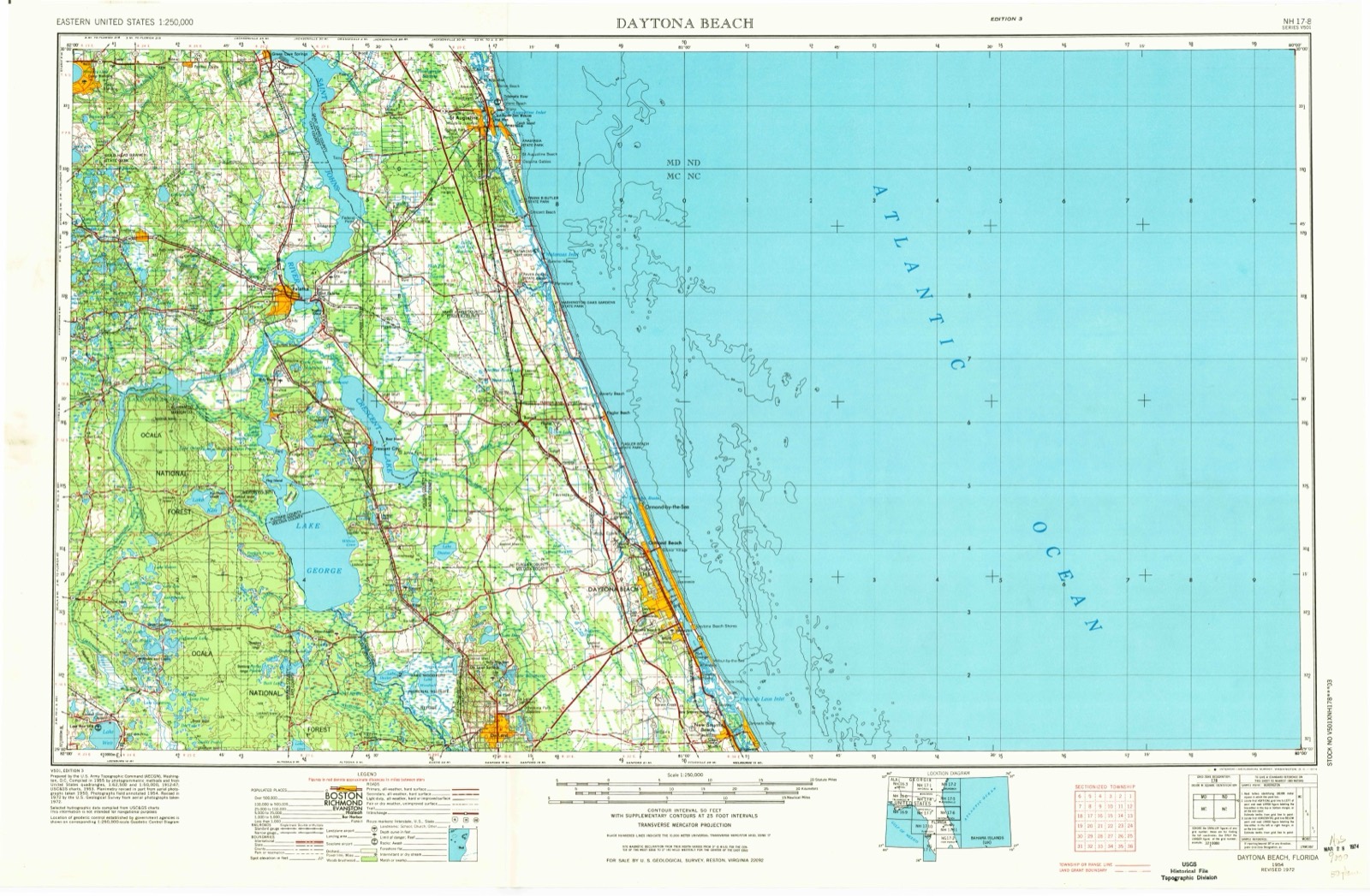
United States Geological Survey topographic sheets whose coverage includes this point. Matched by taking the coordinate the National Park Service records for this property, then testing that coordinate against the published boundary of every sheet.
Other National Register properties close enough to walk or drive between, ordered by distance from this one. Both positions come from the same geocoding pass that matched these properties to their map sheets.
| Photograph | Property | Distance | Listed |
|---|---|---|---|
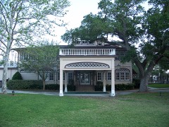 | Casements, The | 0.3 miles | 1972 |
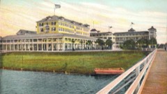 | Ormond Hotel | 0.3 miles | 1980 |
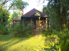 | John Anderson Lodge | 0.4 miles | 1989 |
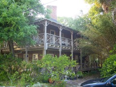 | Talahloka | 0.4 miles | 1989 |
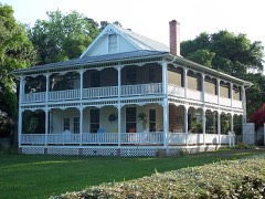 | Porches, The | 0.6 miles | 1988 |
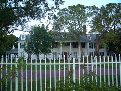 | Rowallan | 0.6 miles | 1988 |
| National Archives record | The nomination case file for reference 88001720 in Record Group 79. |
| Volusia County | All 93 listed properties in this county. |