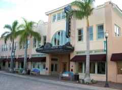
Listed on the National Register of Historic Places in 1990. 8 historic topographic surveys show this location, the earliest from 1948.
From the record
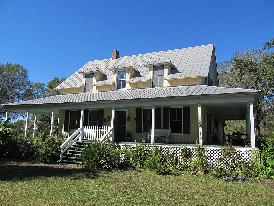
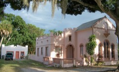
“The Captain Hammond House is a historic house located at 5775 Citrus Avenue in White City, Florida. It was built for and served as the home for the retired New England sea captain Robert A Hammond.”
Wikipedia article Captain Hammond House, CC BY-SA 4.0.
One of 16 National Register listings published here for St. Lucie County · listed in 1990 · category: Building.
National Register reference number.90000310- the number the National Park Service assigned this property when it was listed, and the key its nomination file is catalogued under at the National Archives.
Then and now
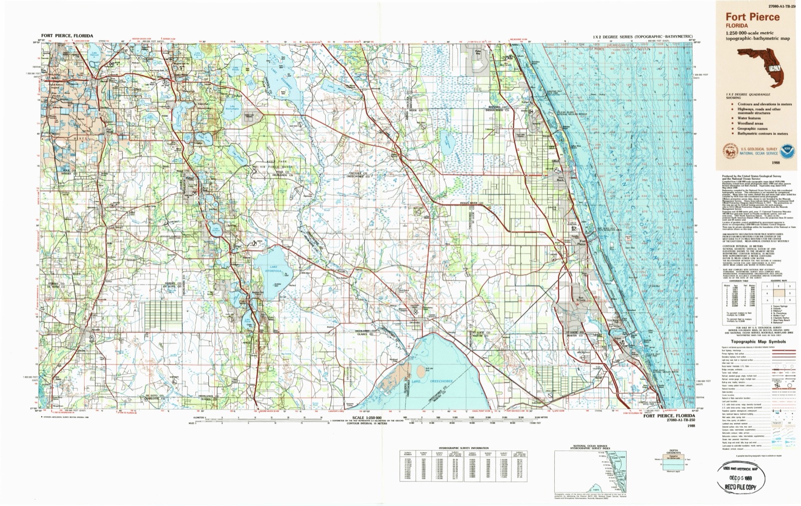
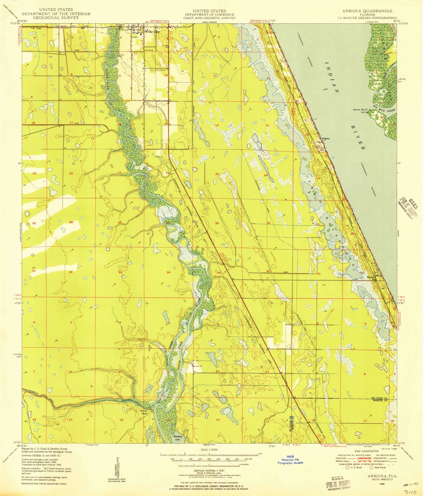
1948 to 1988
The ground this property stands on, surveyed
40 years apart. Drag the handle to wipe between them. Both sheets are
United States Geological Survey originals; neither has been altered.
19481988
Fires near this property
165 since 1992
Regional context, not property-specific
evidence. The
federal wildfire occurrence database
lists 165 fires within 5 miles of Captain Hammond House
between 1992 and 2020, burning about 1,552 acres in total. 39 started naturally. 12 were recorded as arson.
Distance is straight-line from the map coordinates, so a fire counted
here may appear on a neighbouring settlement's page as well.
Reported cause
Fires
Natural
39
Misuse of fire by a minor
28
Missing data/not specified/undetermined
25
Equipment and vehicle use
18
Railroad operations and maintenance
15
Arson/incendiarism
12
Debris and open burning
10
Recreation and ceremony
8
Smoking
4
Fireworks
3
Power generation/transmission/distribution
3
The most recent of
them, most recent first, with the day each was reported and the service
that recorded it.
Regional context, not property-specific
evidence. The federal mineral resources record lists
6 workings within 5 miles of Captain Hammond House: 4 producers, 2 unknowns.
4 still produce. What was taken out: Sand, Sand and Gravel, Construction. Distance is straight-line from the
map coordinates, so a quarry counted here may appear on a neighbouring
settlement's page as well.
Regional context, not property-specific
evidence. The National Weather Service names
White City, the town this property stands in, in 16 storm reports between 2008 and 2023: 8 hail, 3 thunderstorm wind, 2 tornado, 2 funnel cloud.
No death or injury is recorded in these reports. Each account below is quoted exactly as the forecast office
filed it, from the NOAA Storm Events Database, and each date
opens the federal record of that event.
Estimated wind gusts between 60 and 65 mph caused numerous trees and branches to break and fall in the 300 block of East Weatherbee Road and 300 block of Tumblin Kling Road, according to St. Lucie County Emergency Management. A tree fell on a carport and another fell on a home, briefly trapping an unknown number of people inside. At a nearby car dealership, several vehicles on display with their hoods raised sustained damage and several display windows were broken.
Rain bands moving on shore from Tropical Storm Fay produced a brief EF0 tornado in Ft. Pierce. The tornado slightly damaged the roof and interior ceiling of a warehouse.
Extreme rainfall, with totals of 6-12 inches fell in less than 12 hours, with much of the rain occurring in less than 6-hours. Numerous roadways in Port St. Lucie, White City and adjacent Ft. Pierce South experienced rapid inundation, resulting in stalled cars and blocked roads. Numerous roads were closed with water approaching several homes. Water accumulated to heights of 2.5 to 3 feet near Kitterman Road and U.S. Highway 1 (Port St. Lucie) and Gopher Ridge Road (White City). The highest rain measurement was 11.40 inches from a Weather Underground mesonet site located 4 miles north of Port St. Lucie.
Strong winds in association with a line of thunderstorms moved across St. Lucie County early Thursday morning. Straight line winds embedded in part of the line produced minor damage on Ulrich Road (between Oleander Avenue and US-1). Estimated winds of 50 to 60 mph produced damage to several large trees and one home sustained minor roof and soffit damage.
West Palm Beach media relayed several reports from citizens of tree damage north of Port St. Lucie. Wind gusts were estimated at 60 to 65 mph after examining photos of the damage.
St. Lucie County Emergency Management officials reported half-dollar sized hail on U.S. Highway 1 between Weatherbee and Tumblin Kling Roads as a severe thunderstorm moved through Fort Pierce.
A thunderstorm intensified along the east coast sea breeze and produced a weak brief EF0 tornado (landspout) in a produce field off of Glades Cut Off Road west of Port St. Lucie. The tornado quickly crossed the road before lifting. Several photos were obtained from a local media outlet. An Emergency Management official confirmed that no damage or injuries occurred.
A funnel cloud was observed in association with a strong thunderstorm which developed just east of and shortly after passage of the east coast sea breeze boundary. The funnel cloud was observed near the intersection of Midway Road and the Torino Parkway, north of Port St. Lucie.
United States Geological Survey topographic
sheets whose coverage includes this point. Matched by taking the coordinate the National Park Service records for this property, then
testing that coordinate against the published boundary of every sheet.
Other National Register properties close
enough to walk or drive between, ordered by distance from this one. Both
positions come from the same geocoding pass that matched these properties
to their map sheets.
Listing record. National Park Service National Register of Historic Places, listed-properties dataset, current to 2026-05-22.
Map join. Address geocoded through the United States Census geocoder, then tested against the published boundary of every sheet in the USGS Historical Topographic Map Collection.
How this page is made. Listing fields come from federal records; map-sheet coverage is a labelled coordinate-to-boundary calculation, not a source-field claim.
Wildfire. Short, Karen C. 2022. Spatial wildfire occurrence data for the United States, 1992-2020 [FPA_FOD_20221014]. 6th Edition. Fort Collins, CO: Forest Service Research Data Archive. https://doi.org/10.2737/RDS-2013-0009.6 Collected with United States Government funding and usable without additional permissions or fees.
Mines and quarries. USGS Mineral Resources Data System (MRDS) https://mrdata.usgs.gov/mrds/ A work of the United States government, no copyright under 17 U.S.C. 105.
Storms. NOAA National Centers for Environmental Information, Storm Events Database https://www.ncei.noaa.gov/stormevents/ A work of the United States government, no copyright under 17 U.S.C. 105. Narratives are quoted verbatim from the National Weather Service report and are not edited or summarised.
 Block
Block